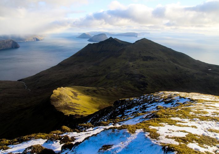
Vágar is my favourite island in the Faroe Islands, and one I often return to (and not just because the airport is located there!). I’ve seen just about everything on Vágar, from the famous Trælanípa cliffs to the abandoned villages of Víkar and Slættanes and to every single mountain peak on the island. Until I found myself studying the map of Vágar in detail last summer, I also thought I’d visited every lake on the island. But it turns out I’d missed one. A very tiny lake above the village of Bøur, tucked away in a green valley below some of the highest mountains on the island. I searched on several maps, but I was unable to find out its name, and Google was of no help. I couldn’t even find a single picture of the lake. So I decided to seek it out for myself.
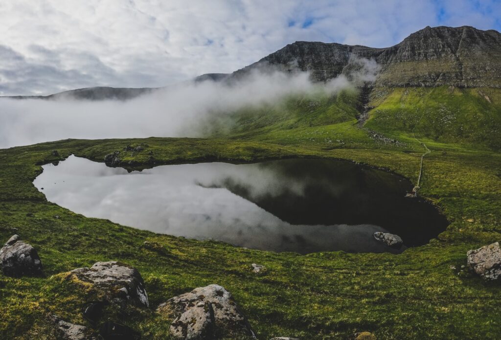
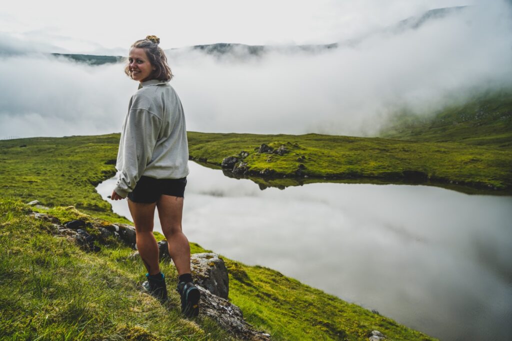
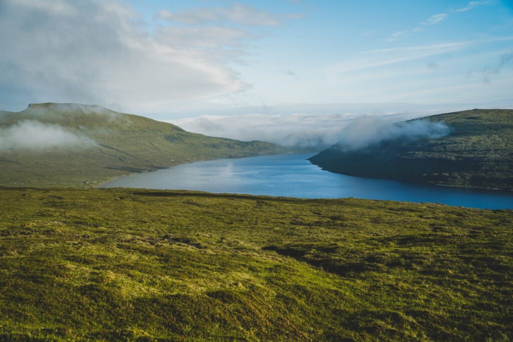
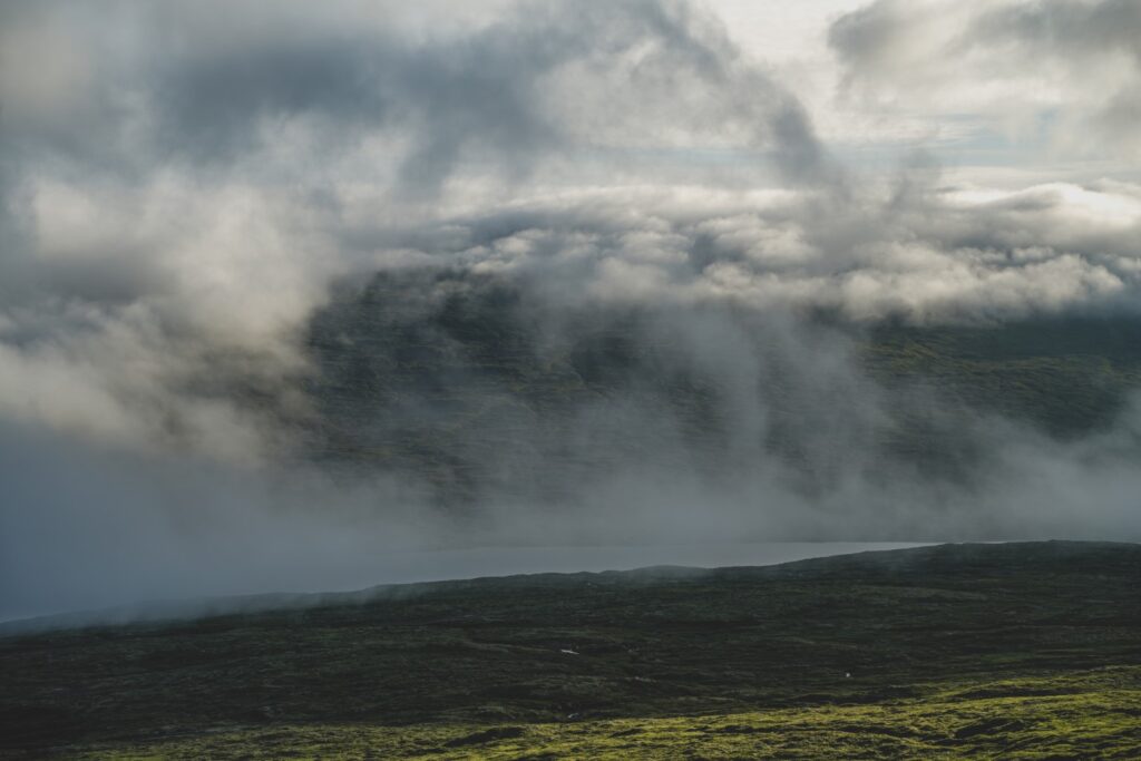
So when the opportunity to borrow a car for half a day arose, I knew exactly where I wanted to go. I drove to Bøur, parked the car on the side of the road and started hiking up somewhere below the lake. From below, it looked like I wouldn’t be able to see anything because of fog, but I soon found out I was very wrong. After a short uphill climb, I reached the valley that holds the lake, which was mostly fog-free unlike its mountainous surroundings.
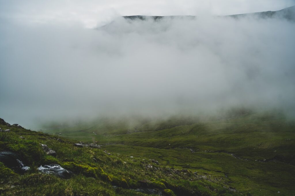
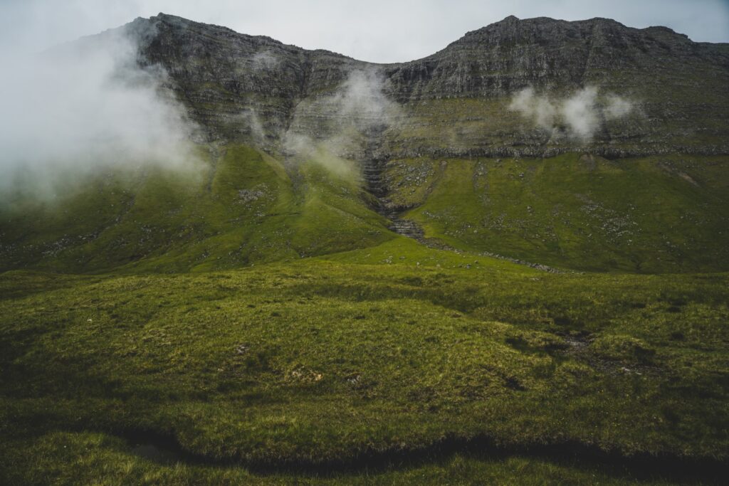
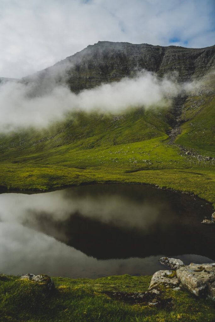
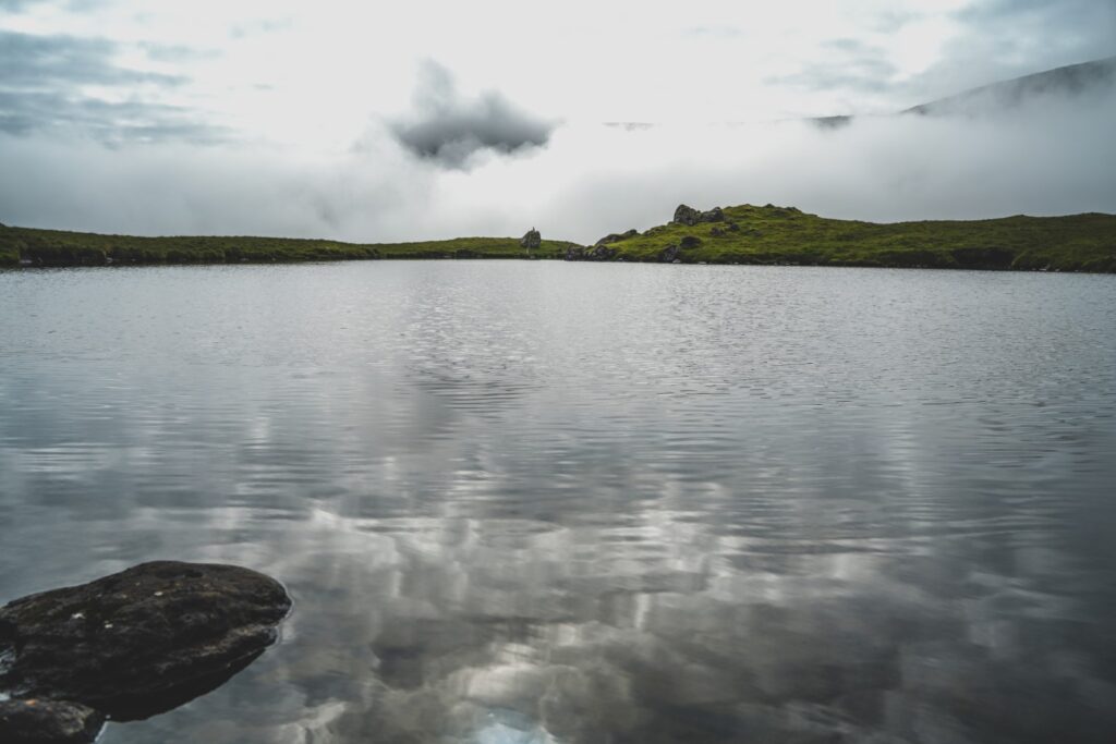
Reaching the green valley, I was immediately met with a sense of calm. A deafening silence, only broken when a few birds began to sing. The rocky peaks reflected themselves in the calm waters of the lake, and the soft mist swirled around me. It was as though the peaks were playing hide and seek, the fog lifting to reveal them, only to engulf them moments later. I was thrilled to have discovered this peaceful place. A small and seemingly insignificant lake, but such a scenic spot. All to myself.
I ended up spending much longer on this hike than I had anticipated, as I just couldn’t pull myself away from the lake. However, my bare legs in combination with the low-hanging clouds did eventually force me to leave the lake behind and head back down to the road.
The name of the lake remained a mystery to me until some days later when I hitchhiked around Vágar and met a local from Bøur. I asked him about the lake, and he told me that it’s called Tjørnudalstjørn and the valley is Tjørnudalur. However, I’ve since noticed that a name has appeared by the lake on maps.me, calling it Tjørnin. Tjørnudalstjørn or Tjørnin, either way, it’s a gorgeous place. An easy hike to a beautiful and calm landscape that you will without a doubt have all to yourself. Go in the fog, and you might be rewarded with an ethereal scenery just like I was.
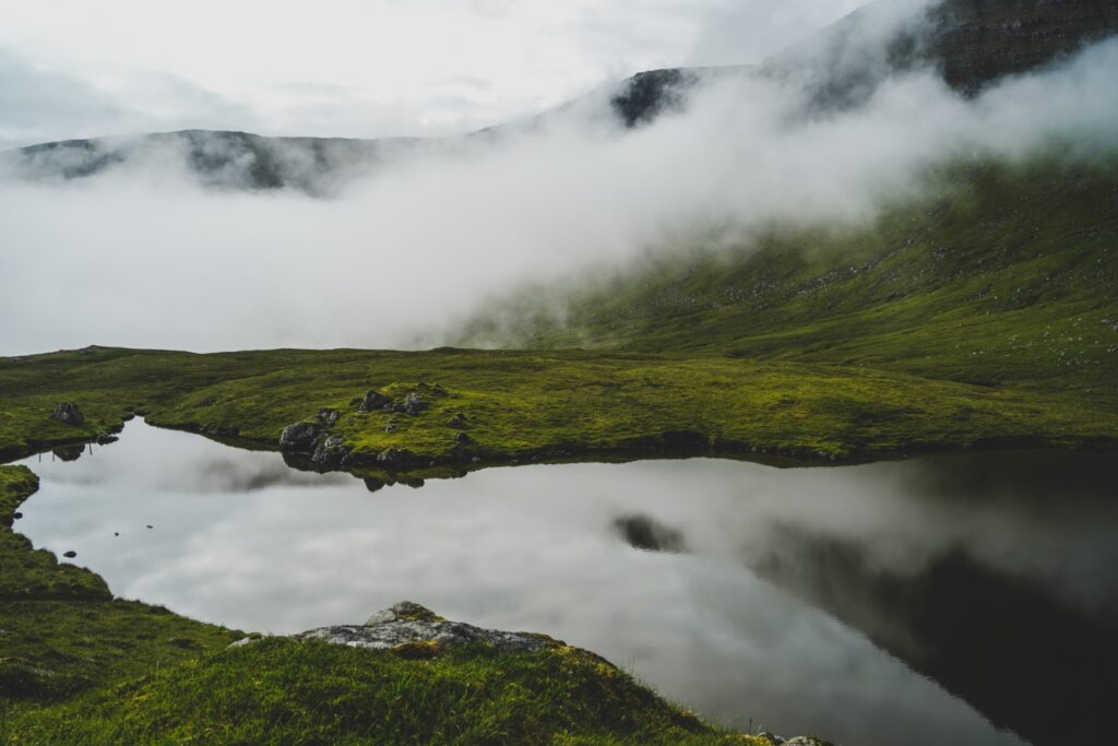
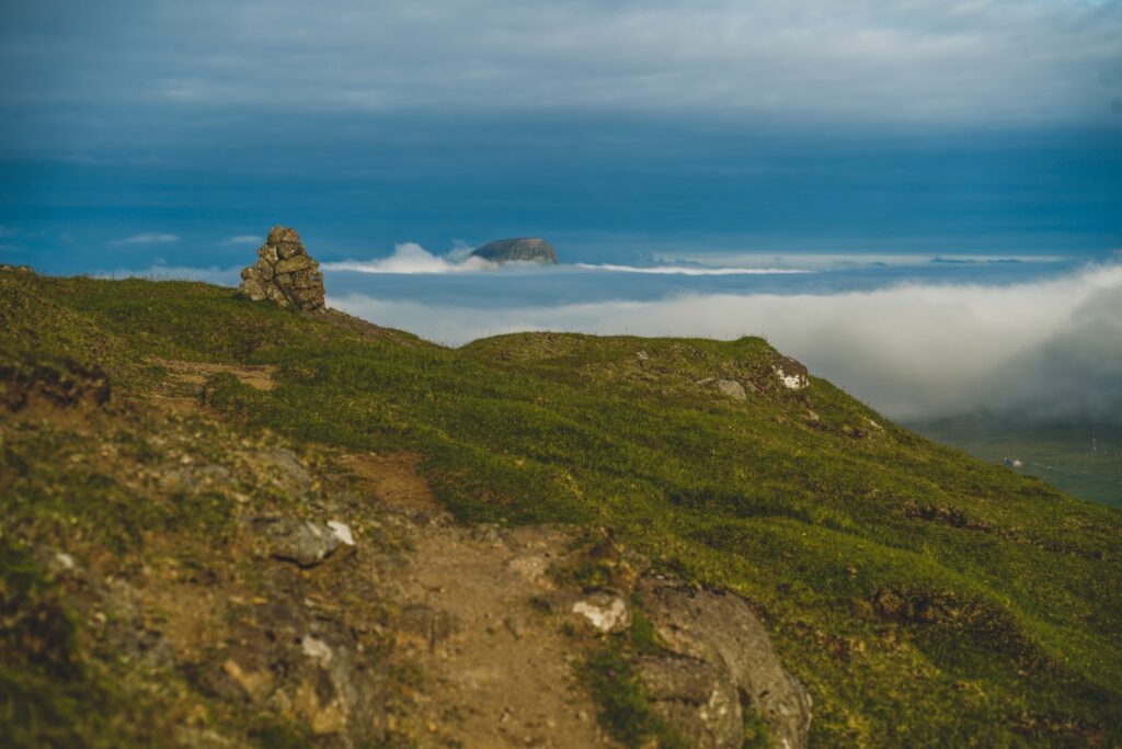
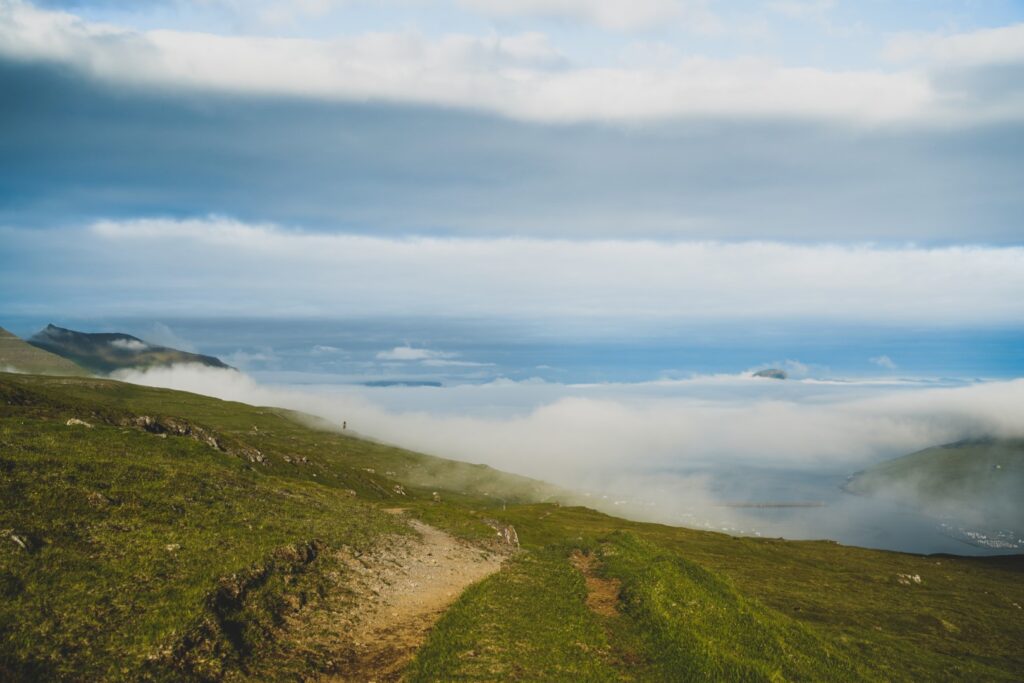
After my little lake adventure, I had to return the car to the airport, but I wasn’t quite ready to go back to the hostel in Miðvágur yet. Instead of hitchhiking back, I decided to walk along the road to Vatnsoyrar, and then hike along the cairn trail to Miðvágur. An easy four-kilometre hike along a well-trodden trail with hardly any ascending or descending. Actually, I think it’s one of the easiest hikes on the Faroe Islands, if not the easiest!
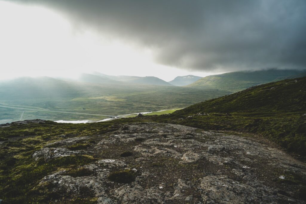
I had done this hike before but that was on a rainy day. It was wonderful to see the views in beautiful weather, although I did get my share of rain as I approached Miðvágur. With the low-hanging clouds over Lake Leitisvatn and the island of Koltur in the distance, I was in for a real treat on this spontaneous hike.
Hiking route description: To Tjørnudalstjørn, Vágar’s unknown lake
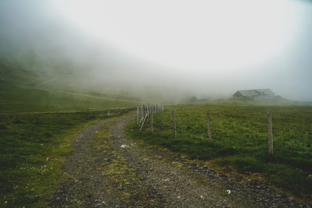
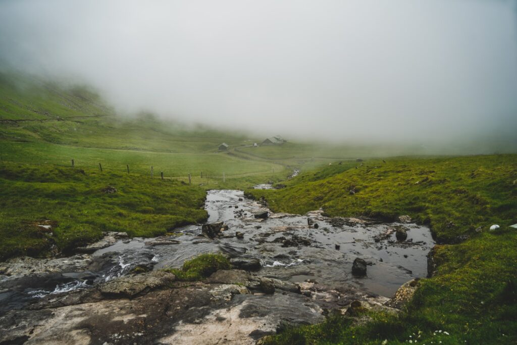
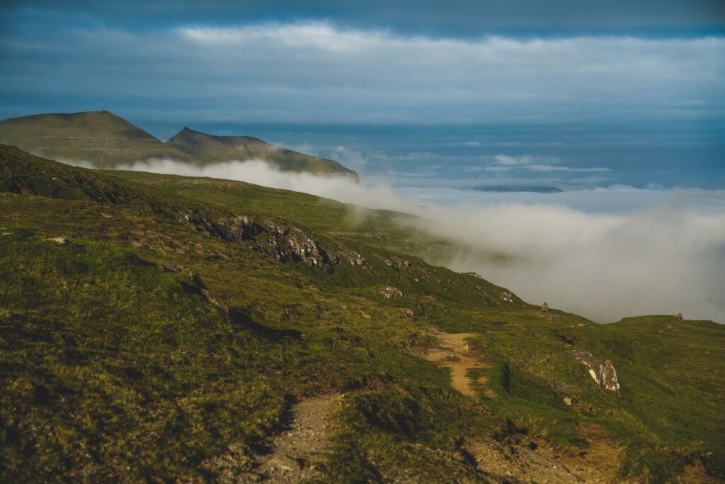
The hike begins approximately two kilometres from Bøur in the direction of Gásadalur, at a gravel road leading up into the mountains right before the tunnel. Follow the gravel road past two farm buildings, and further up towards the mountains until it suddenly ends where two streams meet. Cross the widest of the two streams, and then follow the narrow one upstream. The ascent is short but quite steep.
When you reach a barbed wire fence, leave the stream and follow the fence towards the mountains. The terrain flattens out and it gets quite boggy as you approach the lake. At the very end of the fence, there is a spot without barbed wire where you can climb over to walk around the lake. You’ll meet another barbed wire fence halfway around the lake, but there is enough space to crawl under a large rock to continue your hike! Return to the road the same way you came up.
The hike is two kilometres long, takes around an hour to complete and is easy and suitable for most.
Leave a Comment
Pingback: A rainy day on the mountain slopes: Hiking from Miðvágur to Vatnsoyrar – Northtrotter on 27/09/2022
Pingback: My September 2022: A return to the Faroes and back to Lolland – Northtrotter on 27/09/2022

2 COMMENTS