Fruška Gora is a lone mountain, unique to the northern part of Serbia. Rising above the flat agricultural lands of Vojvodina where I’d spent the past two weeks carrying out archaeological prospections, the forested mountain stands at an impressive 539 m. above sea level. Arguably less scenic than the mountains of the south that I have yet to see, with so much flatness surrounding it, it’s no wonder this national park is considered a jewel by locals.
On my last day in Novi Sad back in October last year, I set out to explore this jewel by myself. I was longing for a hike in tranquil nature. I had seen the bright autumnal colours of the forest from the city, so I knew it was going to be a beautiful day.
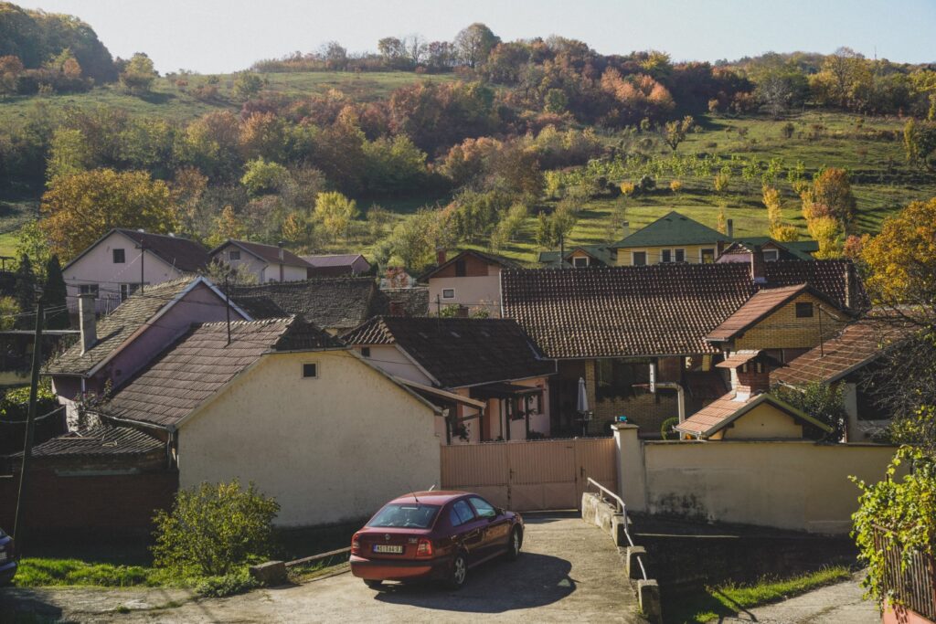
From the centre of Novi Sad, I caught a bus to the village of Beočin, located at the foot of the mountain. Figuring out where to begin my hike hadn’t been easy, but I knew I wanted to see a few of Fruška Gora’s many monasteries and hike up to a viewpoint. From Beočin, I mapped out a route taking me past a church and a monastery, and up to the highest point of the mountain where I felt sure I’d get an amazing view over the seasoned forest.
But Beočin turned out to be much more than just a starting point for the hike. A few hundred metres in on my chosen route, I discovered what looked like an abandoned mansion. I later found out that I’d stumbled upon a castle once belonging to a renowned family that fled the area during the Second World War, and left the castle to decay. As creepy as it was, I couldn’t help but explore – an incredible experience that I’ve dedicated a separate blog post to (click here to read!).
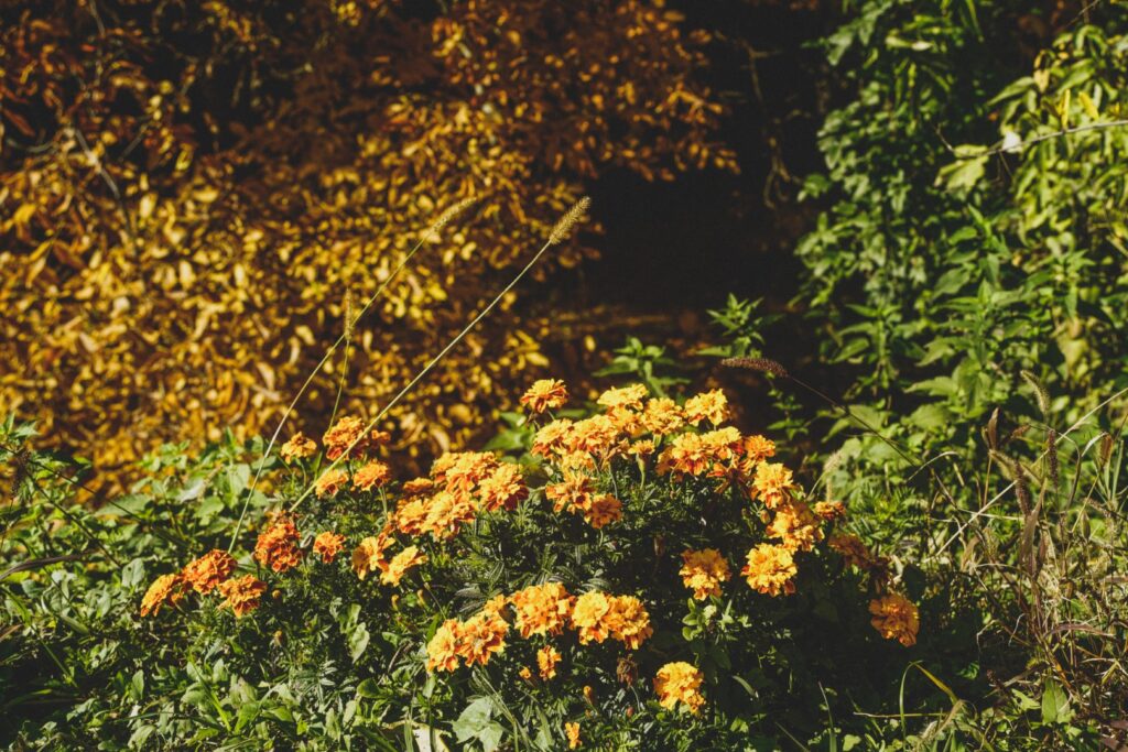
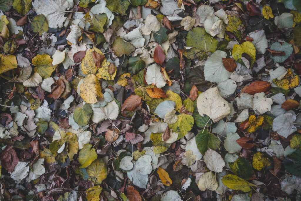
Onwards with the hike, I walked past the Orthodox Church of Saint Vasilije Ostroški from the year 2000, and followed the narrow streets through the Beočin Selo neighbourhood, leading me south towards the dense forest. The weather was perfect for a day of hiking. It was sunny but a nice cool temperature, and the colours of the autumn leaves only made everything more cozy and mystical.
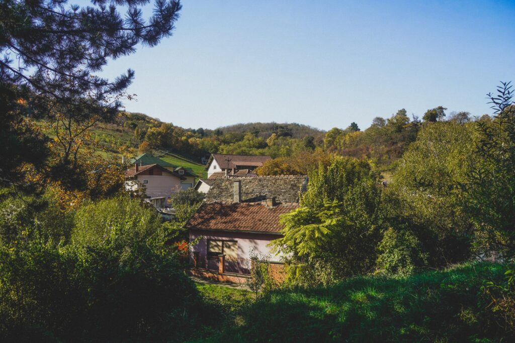
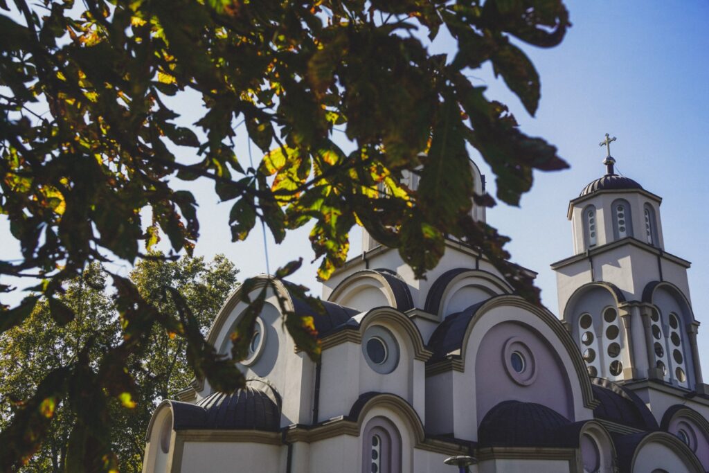


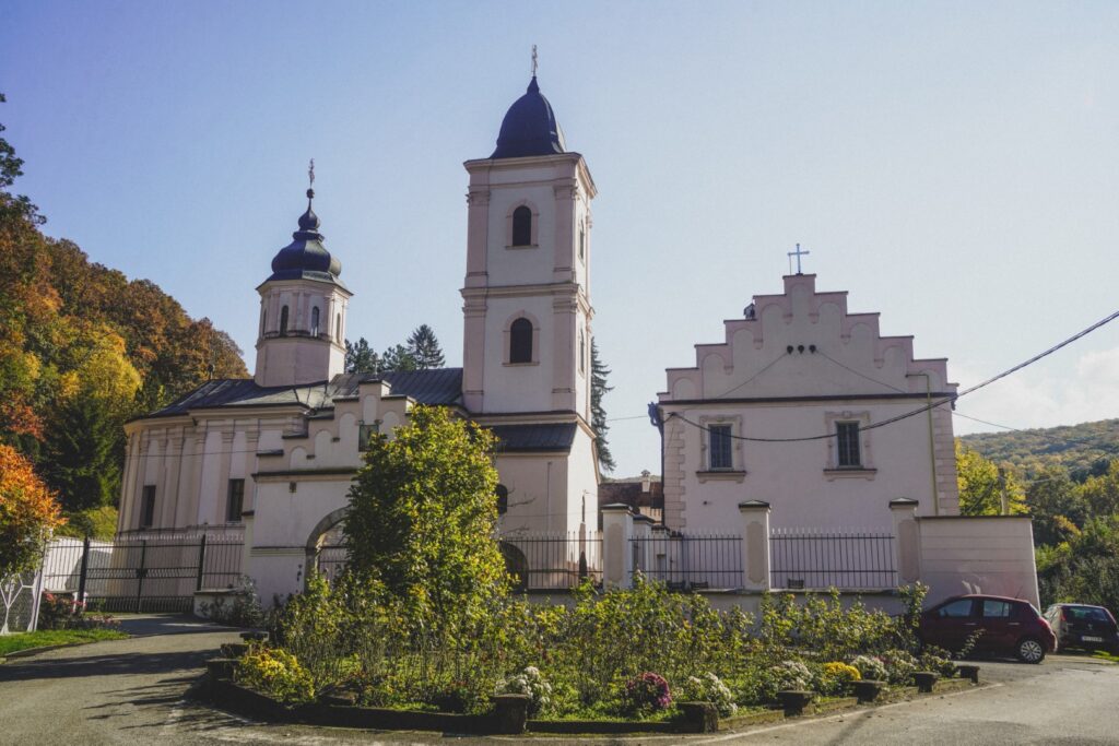
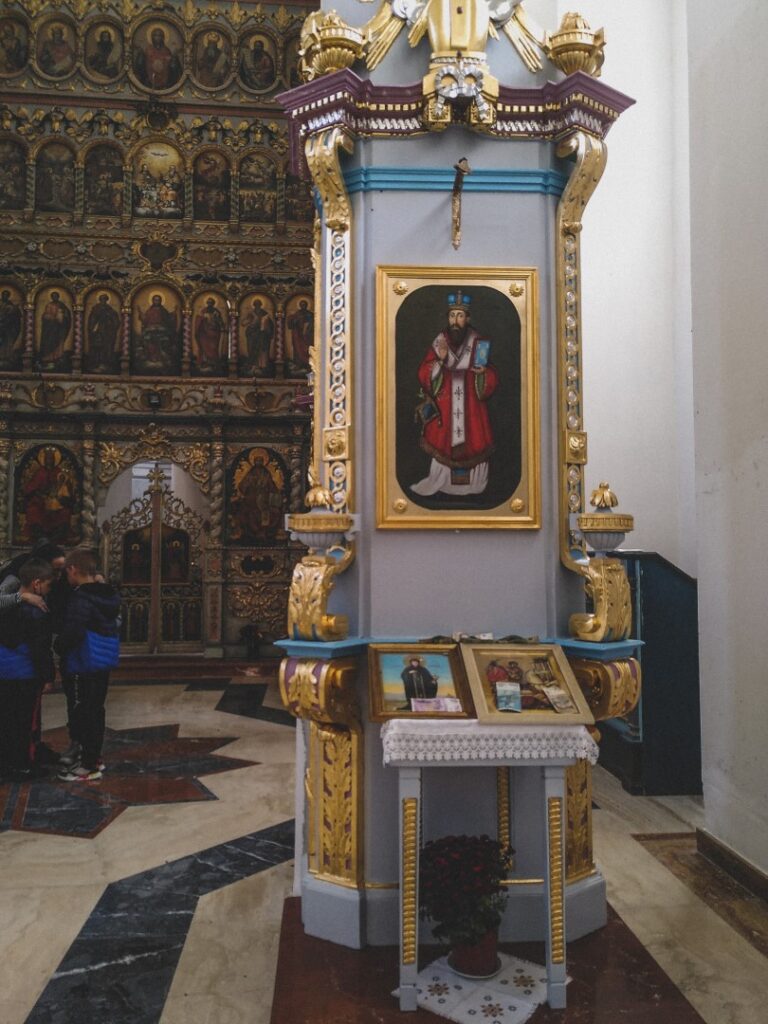
It wasn’t long until I reached Beočin Monastery which dates back at least to the mid-16th century. Its founding date is unknown, but it was first mentioned in Ottoman Turkish records in 1566/67. During the Austro-Turkish Wars (1593-1791), the monastery suffered severe damaged, but in the mid-18th century, west Serbian monks arrived and reconstructed the place.
A strong smell of incense met me as I entered the door, leading me into a modestly decorated room with a few worshippers. Trying not to disturbe them, I wandered about in silence for a little while before returning to the trails.

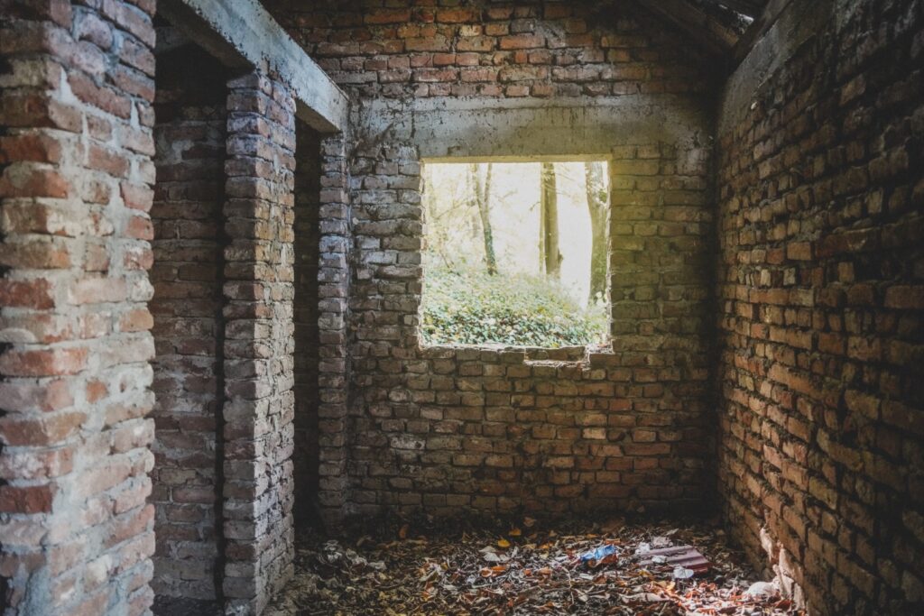
An abandoned barn stood lonely between the monastery and the deep forest, inviting me in for a peek around.
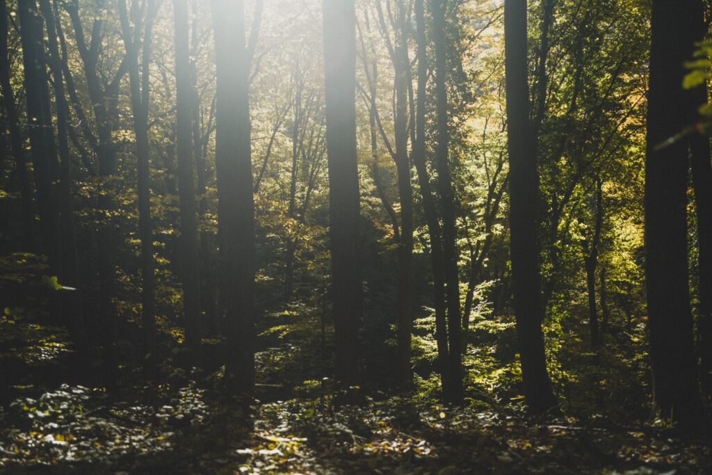
And then it was time to enter the extensive forest, draped in warm autumnal hues in the soft afternoon light. Finally, I was all alone. For the first time since arriving in Novi Sad, I felt a sense of calm. I love the serenity the forest offers.
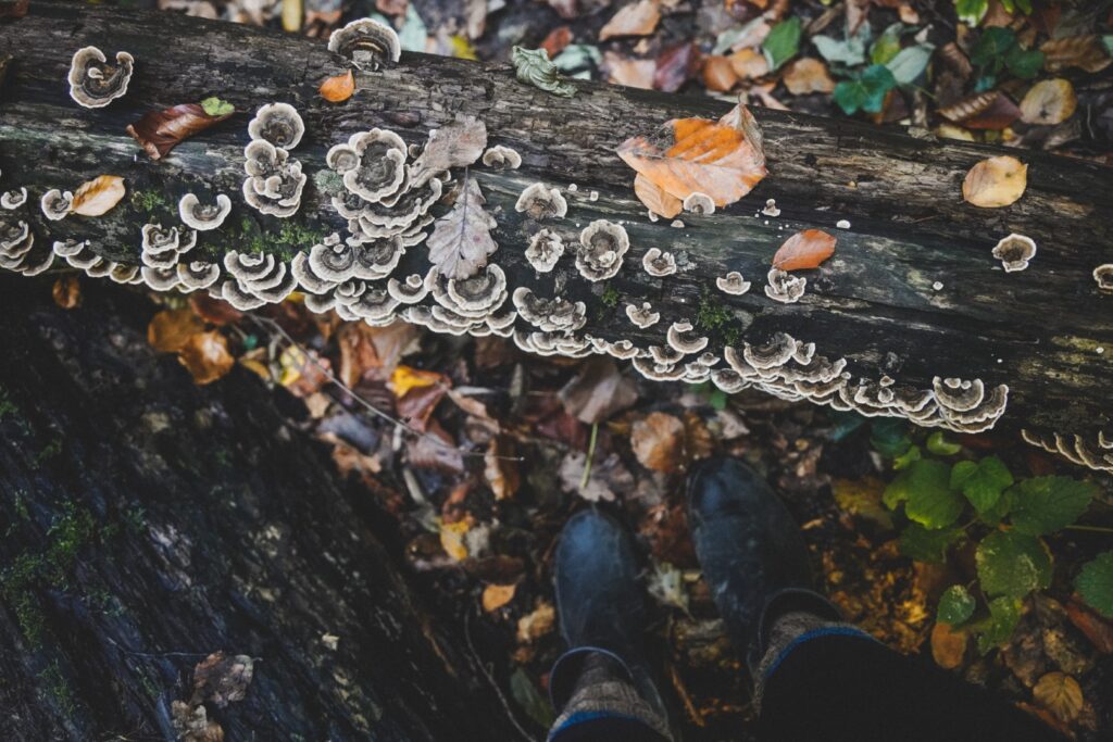
I attempted to follow a trail on maps.me which I thought was going to lead me up to the highest point of the national park, but when that proved impossible, I just followed a small trickling stream upstream. It was a slippery ordeal; I had only brought wellies to Serbia as I needed them for the archaeological prospection. But I’d forgotten how difficult it is to hike in wellies, especially in autumn’s post-rain landscapes. Thankfully, the stream was shallow so I was able to cross it repeatedly as I tried to find steady ground to hike on. Fallen tree trunks also made this quest easier.

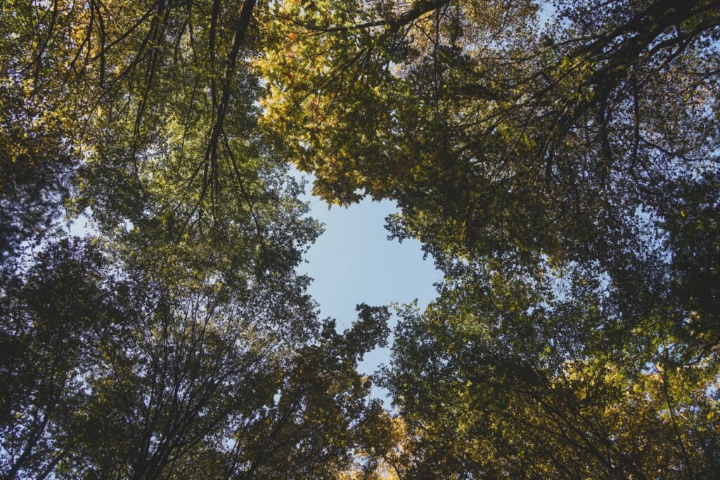

Eventually, I did reach a section where I could hike up more easily, leaving the slippery rocks of the trickling stream behind. It got quite steep in places, but nothing my hiking-hungry legs couldn’t handle. I just enjoyed the tranquility of the forest where the only sounds I could hear were the occasional leaf falling or the song of a bird.
Eventually, the terrain leveled out and I reached an asphalt road, taking me the last hundred metres up to the highest point – or almost, at least.
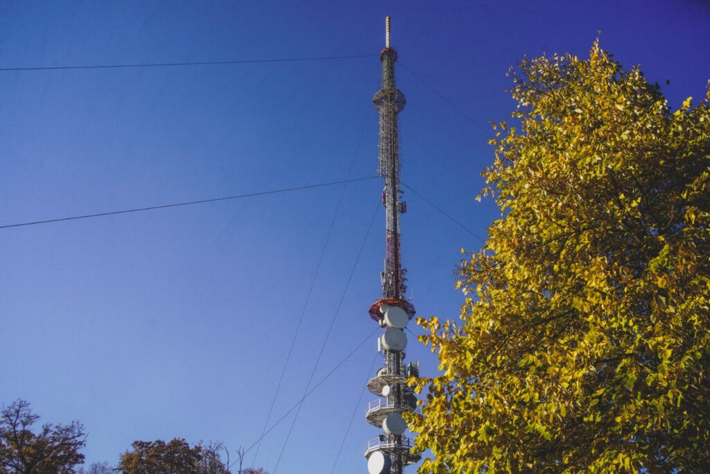
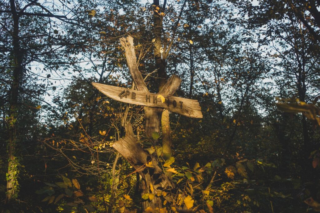
Because on top of Fruška Gora’s highest point, Crveni Čot at 539 m., stands a radio and TV tower, and access to the area is not allowed. I had been craving a good view of the national park all day, so I felt quite bummed out. Sometimes I wish I was a tree – or even better, a bird! I was literally 50 meters from the summit when I was forced to turn back!


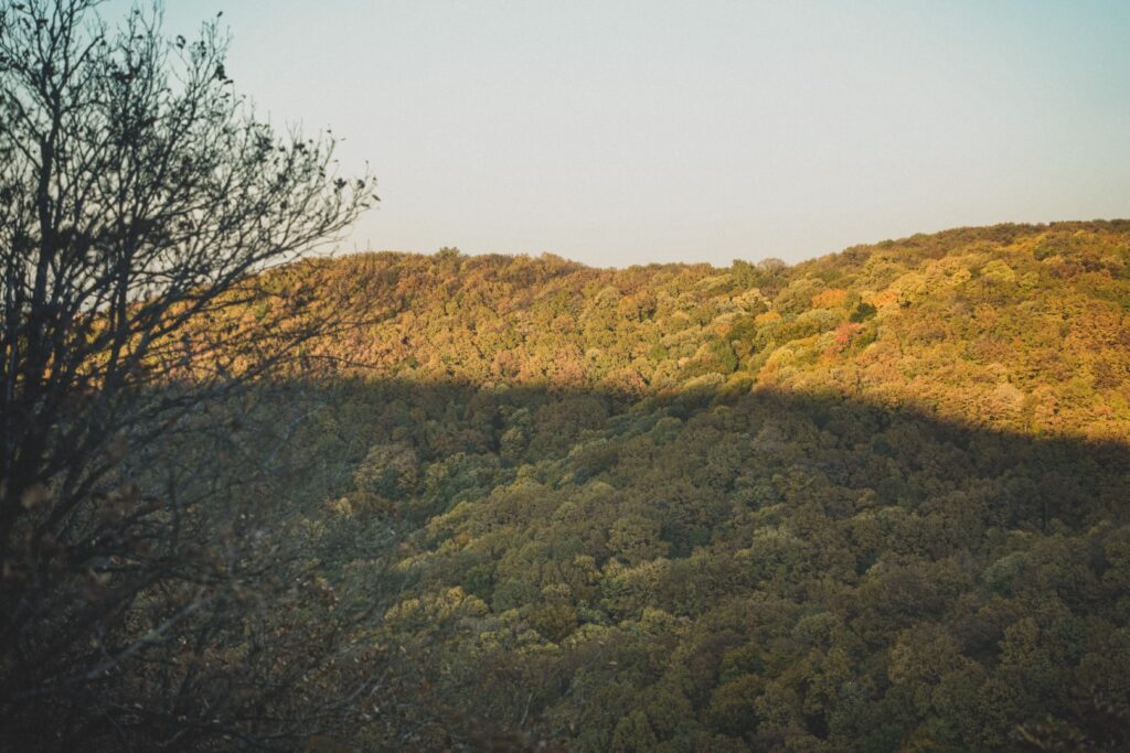
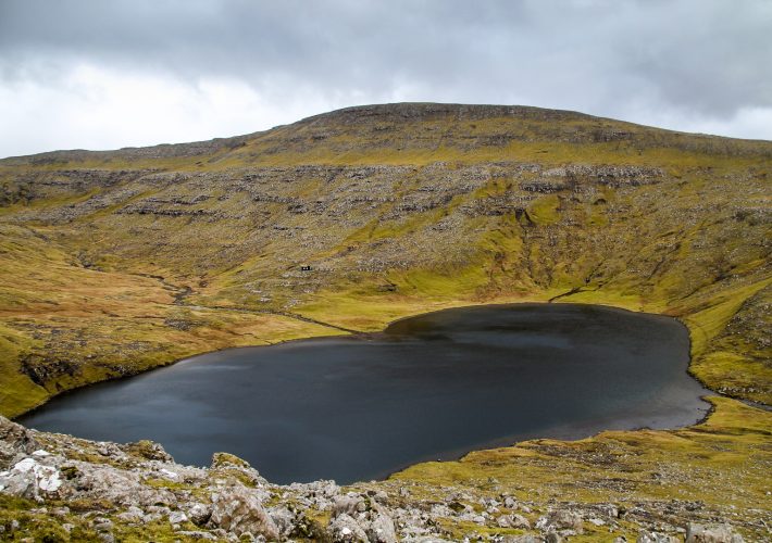
It was getting late, and I knew that I only had a few hours of daylight left, but I couldn’t resist extending the hike to reach a viewpoint I’d found on maps.me. I so desperately wanted to see the autumnal leaves of the dense forest from above. It was a race against time as the last thing I wanted was to get stuck in the forest in the dark. Thankfully, the first long part of the way was steady downhill along a paved road. I came past a creepy looking hotel, and then disappeared back into the forest. Sunset was approaching quickly, and the trees were illuminated in the soft light of golden hour. It didn’t take me long to reach the Kobilica viewpoint which offered the wonderful view I’d been craving.
The time came to hike back down and through the forest to the main road, but this was when it got really tricky. With darkness approaching, I tried to hurry and chose a trail that was quicker but a lot steeper than the alternative. That was a terrible mistake.
The trail was impossible to hike normally in wellies, so I fell on my butt more times than I could count. I felt so stupid especially since it wasn’t the first time I’d gone for a hike without my hiking boots… I climbed a mountain in snow in Wales in slippery sneakers and also managed to climb a mountain in the Alps in sneakers . I’ll never learn!
Once I got down from the hill, butt all bruised, I managed to find a trail along a stream, but it was soon replaced by a slippery waterfall where I had to hang onto a rope while climbing down. It was followed by a steep section with slippery steel steps which was difficult, but without the rope and steps, I would’ve been in a much worse state than I was. Worse yet, dusk had set in, and I still had several kilometres to go before getting out of the forest. The last three kilometres were easy as I could follow a level trail, but the darkness of the forest was quite scary. It didn’t help when I spotted three people walking in front of me, but thankfully, they didn’t seem to notice me. When I finally reached civilisation, I traded the dark forest for an unlit muddy gravel road with the occasional creepy house. I hurried as much as I could to reach the village of Dumbovo from where I wanted to catch the bus back to Novi Sad.
A group of children greeted me with Добро вече (‘good evening’) as I hurried for the bus, making it in time before darkness set in completely! My legs were exhausted by the end of the trip; I’d walked faster than ever before those last few hours of the hike! But I had finally seen the view I’d come for, and now understand why Fruška Gora is so treasured by the locals.


Hiking in Fruška Gora National Park
As much as I would love to provide y’all with a good hiking route through Fruška Gora National Park, I didn’t have much success following a trail so I would probably be leading y’all astray. But here are a few tips for your trip to the national park:
The best starting point: Start your hike in Beočin in order to explore Spitzer Castle – if you’re into urban exploration, you must not miss this place!
How to get to Beočin: You can reach Beočin via taxi or bus line 78 which starts from the bus station in Novi Sad (location: Bulevar Jaše Tomića 6). You can find the timetable here. The journey takes 30-50 minutes depending on your departure time and the ticket costs 192 RSD. To get back to Novi Sad, catch the same bus from th opposite side of the road from where you got off. You don’t have to end your hike in Beočin, you can also catch the bus from one of the other villages along the road towards Novi Sad.
How to find a good viewpoint: The highest point of Fruška Gora is not worth aiming for as the summit is fenced off and there are no viewpoints nearby. Instead head to the Kobilica viewpoint (location: 45.163965, 19.747162).
Visit a monastery: Try to visit at least one monastery as the area is renowned for them. The Beočin Monastery is one I’d recommend visiting!
Don’t plan a route: Don’t come with a plan to hike a certain trail; it will most likely fail. Instead, just enjoy hiking around in the forest, but keep your phone/gps close so you don’t end up getting completely lost.
Don’t trust maps.me: I usually love maps.me and use it everywhere I go, but in Fruška Gora, it proved quite useless. Many trails on maps.me don’t exist in real life!
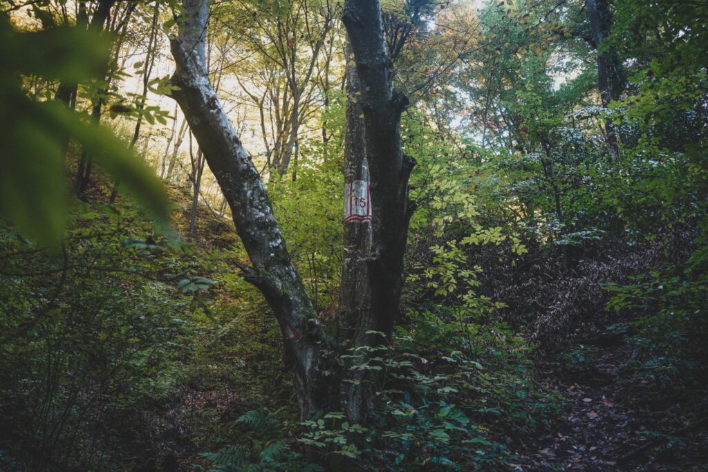
Ignore trail markers: I found the trail markers on trees and rocks impossible to follow, so don’t worry about those.
Enjoy and don’t forget to bring your camera!
Leave a Comment
Pingback: My May-June 2022: Around Denmark, Germany and a slice of the Czech Republic – Northtrotter on 21/06/2022
Pingback: An abandoned world: The tale of Spitzer Castle, Beočin, Serbia – Northtrotter on 21/06/2022
Pingback: Novi Sad and beyond: 13 must-sees in and around Serbia’s culture capital – Northtrotter on 21/06/2022
Trackback: URL on 21/06/2022

4 COMMENTS