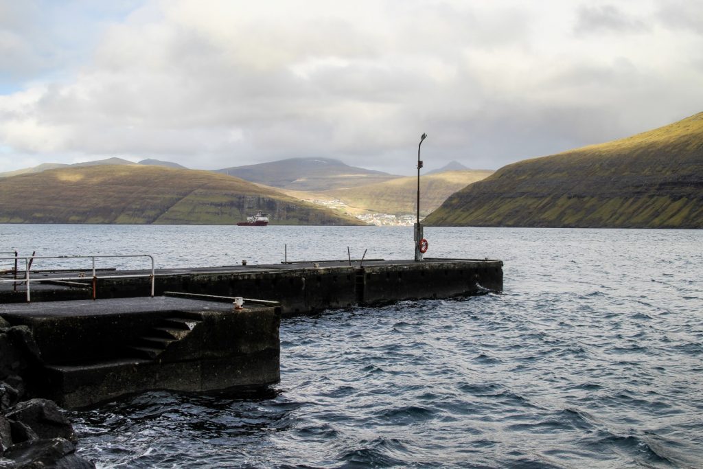
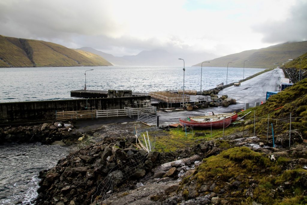
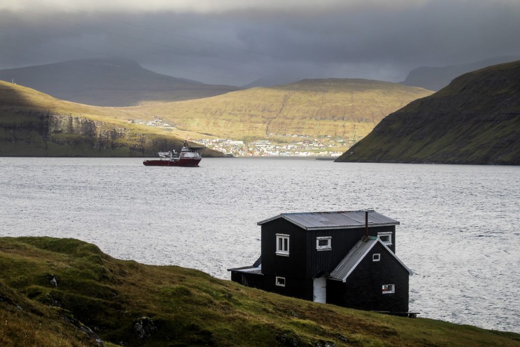
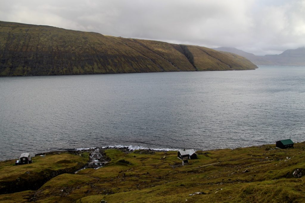
Oyrargjógv was once the gateway to the island of Vágar. A ferry route from Vestmanna to Oyrargjógv connected the airport island with the rest of the country until 2002 when the subsea tunnel to Streymoy was opened. Today, Oyrargjógv stands as an abandoned harbour with three adjacent buildings, seemingly all abandoned too. An eerie scene and a reminder of the modern world that the Faroe Islands entered with the construction of subsea tunnels linking the main islands together.
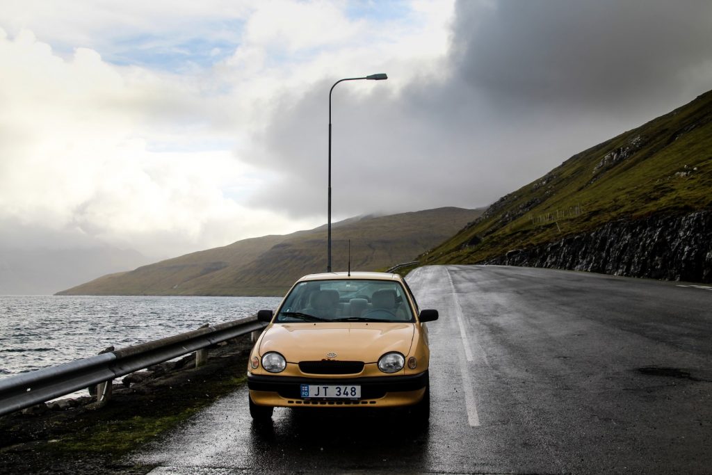
From the nearest village to the airport, Sørvágur, a cairn trail was once the only way to get to and from the old harbour. On a cloudy day in late October, I set off to discover this hike myself, crossing the island from one end to the other in just five hours.
I’d actually seen part of this trail when I hiked from Slættanes to Sandavágur with Lars a week earlier, so I knew that at least part of it was well-marked with cairns. But you never know with the trails on the Faroe Islands. Sometimes the trails are full of cairns, almost too many, and sometimes you have to really hunt for them. Thankfully, I easily spotted the first cairn above Oyrargjógv to begin my hike.
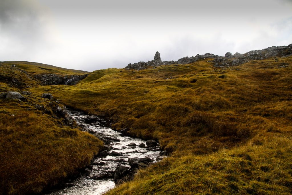
It was a steep ascend to the first cairn. I crossed a wide waterfall and hiked towards the very few buildings of Oyrargjógv where I found a good spot to start climbing up. I took it slowly as I hadn’t been hiking for two days and therefore felt a little out of shape (it’s crazy how fast it can go!).
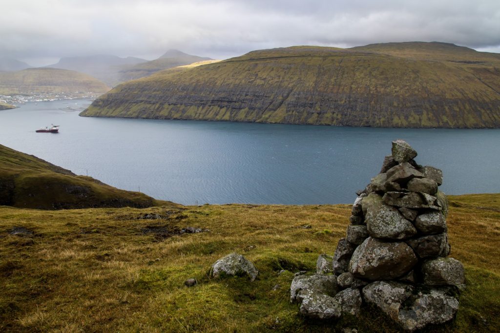
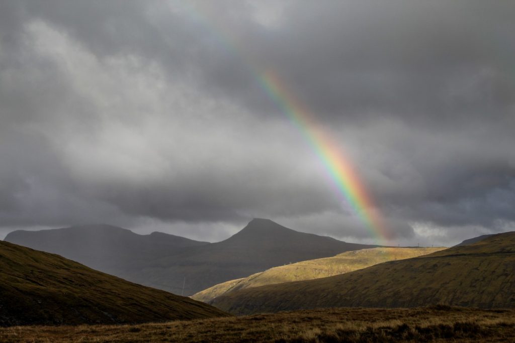
When I reached the first cairn, I looked back towards Vestmanna on the neighbouring island of Streymoy and saw the most beautiful rainbow. I suddenly got a burst of energy that helped me get over the steepest part of the trail to a valley where the landscape flattened out.
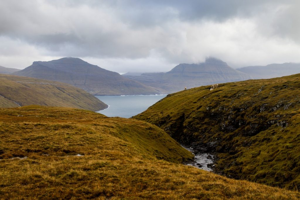
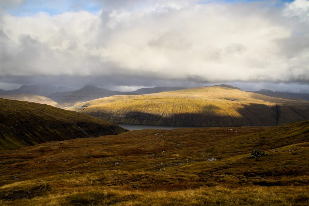
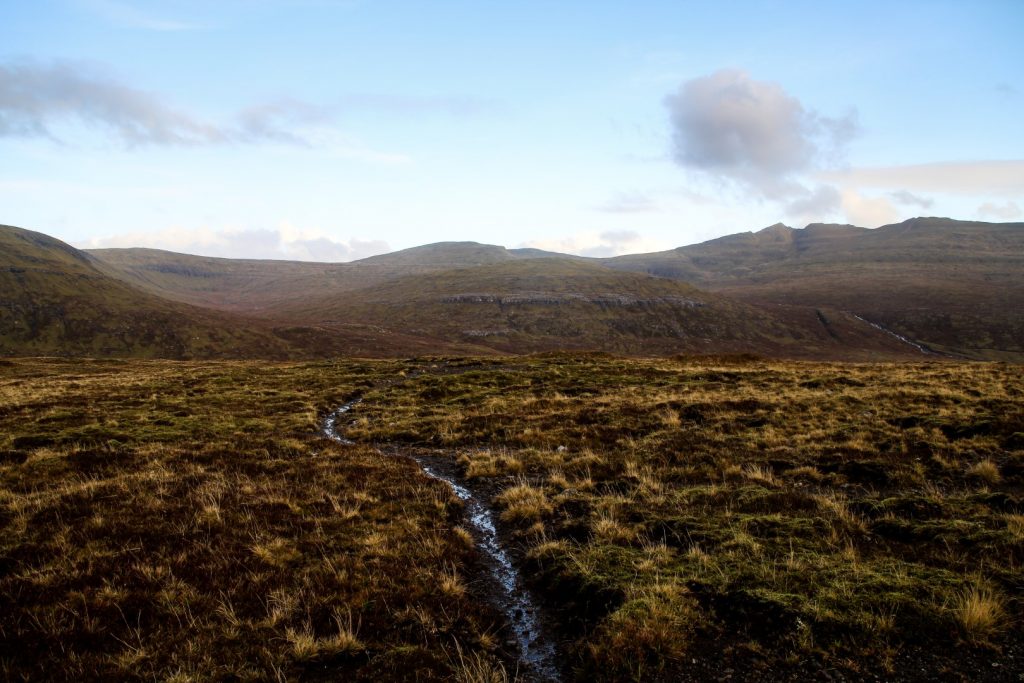
I enjoyed the gradual ascend, following the cairns along a stream. At one point, I took a little detour to see a massive gorge before continuing through a swampy meadow and gradually up towards a mountain pass.
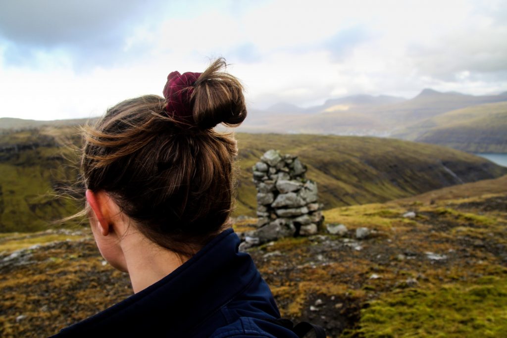
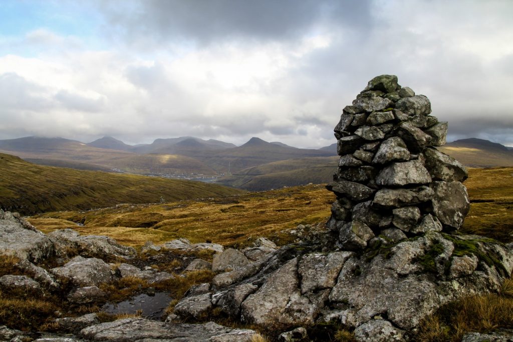
It wasn’t long until I met the trail from Slættanes to Sandavágur and had a wonderful flashback to the most adventurous hike on this trip to the Faroe Islands. I really enjoy coming through areas I’ve already been and remembering certain things about the landscapes in the different areas. I definitely feel like I know Vágar well by now, and I can’t wait to have this feeling on the other islands as well!
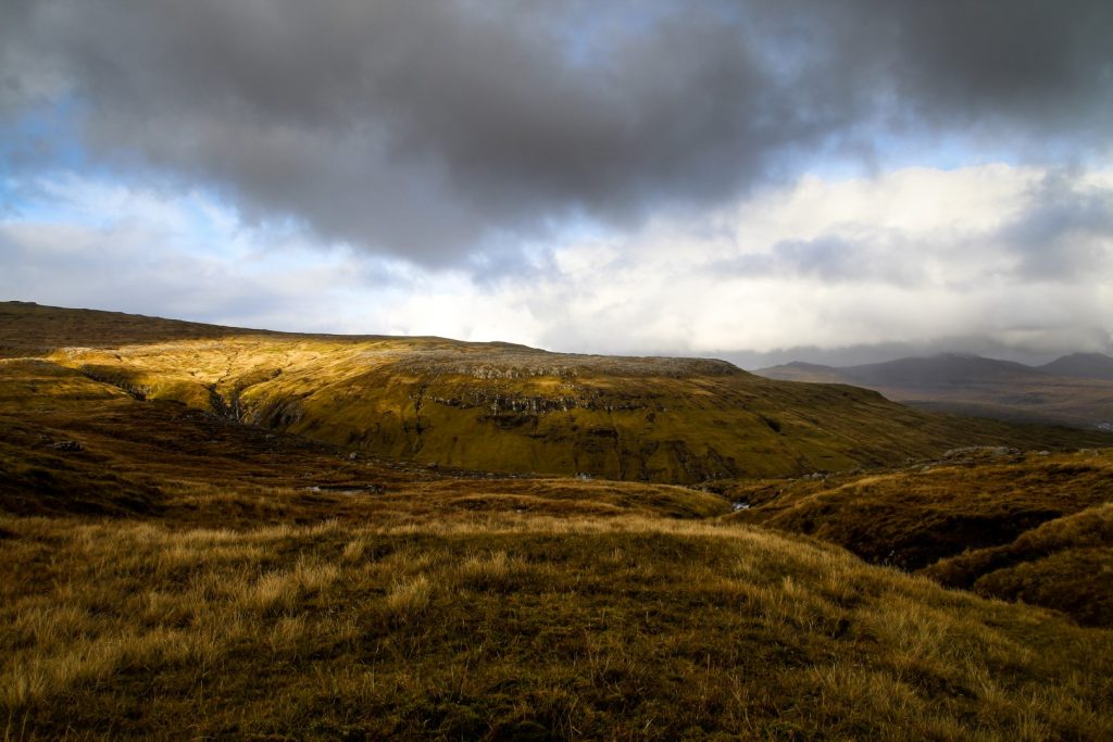
As I got close to the highest point of the trail at 393 meters, it started raining lightly. Thankfully, I only had the easy section of mostly downhill hiking left, so I didn’t mind too much. After all, I can’t expect perfect weather on the Faroe Islands – and especially not in October!
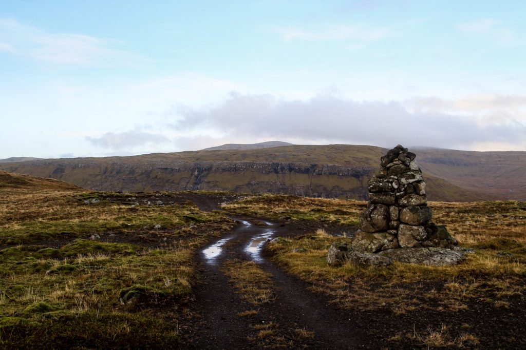
I continued over the barren landscapes, following the cairns religiously and jumping over the streams and rivers I came across. I met another cairn trail going left up to the mountains. I think this is the trail that connects the village of Miðvágur with the trail that I was on, but I’m not sure. I will hike this trail one day to find out!
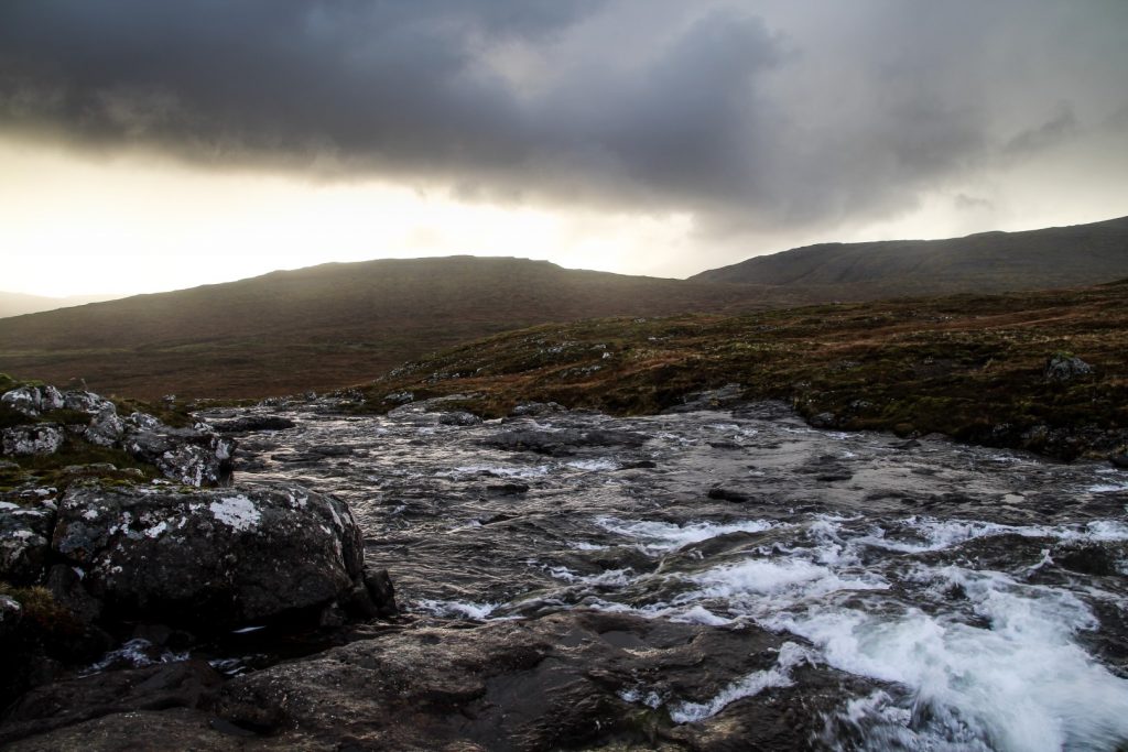
A bird popped out from the ground, reminding me to be careful as I passed by her nest. I was approaching the wide river Sjatlá, which would give me bigger problems than I’d ever imagined.
I thought this hike would be straightforward and easy, but when crossing the river was impossible… well, I felt rather defeated.
I tried my hardest to cross it, following the river down while constantly looking for a narrow place to cross. Sometimes it looked fine my side, but then it was too wide on the other side. Other times vice versa. But the rocks were never quite close enough for me to confidently make the jump. After a few heavy rainfalls the past few days, the river had just become too forceful.
So I swallowed a bitter pill and made a detour of over a kilometer to the gravel road that leads out of Vatnsoyrar towards Fjallavatn. There, two bridges made it an easy crossing, but now I’d lost the trail and had to hike back up to rejoin it. When I finally did, it was time for a well-deserved lunch break.
It wasn’t long until I had to descend back down to the road, which felt rather silly as I’d just spent time and effort hiking back up from there. Oh well.
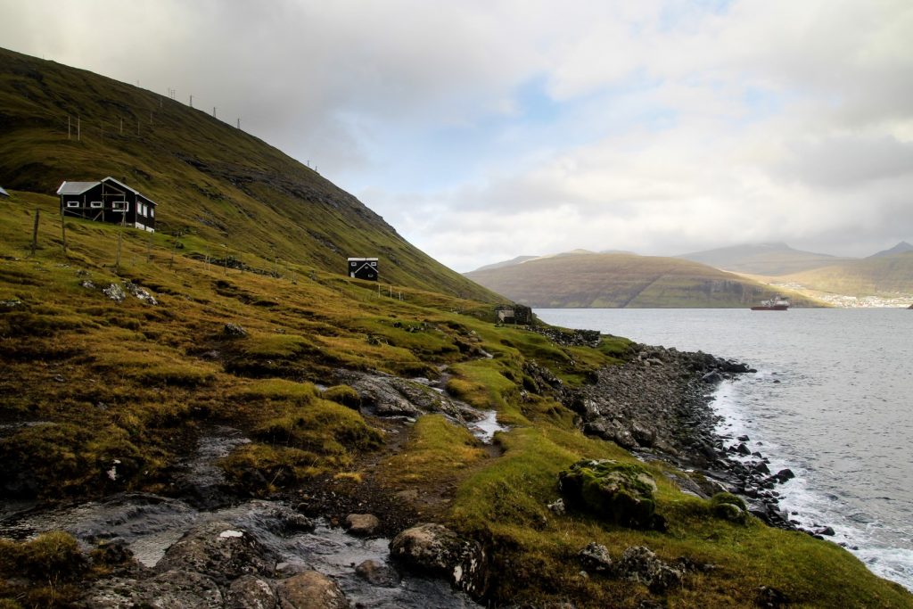
I crossed the road and started hiking up a small hill on the other side of it. I had to build myself a little stone bridge to get over a stream, and then I continued upwards with the cairns in sight. I soon came to the end of a dirt track and found a sheep trail that I could follow for a while. The thick clouds that had darkened the landscapes all day suddenly gave way and revealed a beautiful blue sky.
The ascend was gradual and easy, and soon the landscape flattened out once again, and I joined the trail with huge cairns that leads from Sørvágur to Slættanes. I still have yet to hike this trail, but I can’t wait to do it. I just love the trails that go through Vágar’s barren middle!
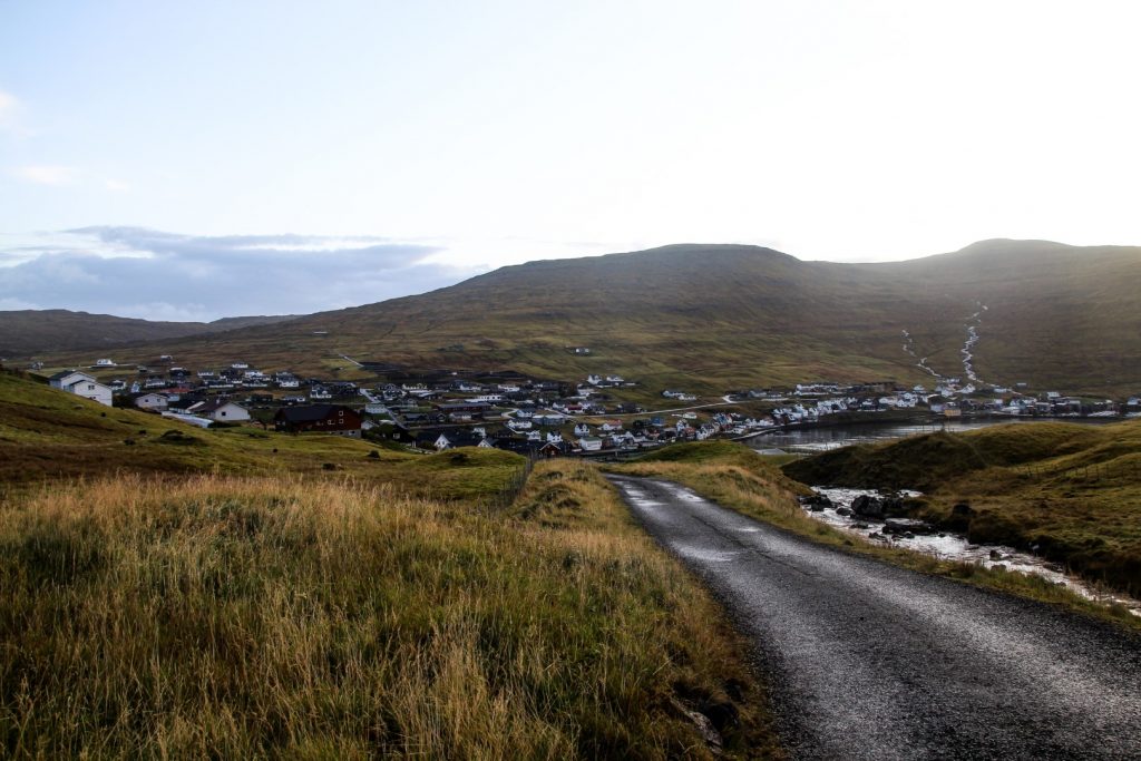
A dog ran to greet me just as I spotted Sørvágur beneath me. I was almost there! I followed a dirt track that took me past a little lake and further down to Sørvágur. Just under five hours after leaving Oyrargjógv, I had completed the hike. The same hike that the villagers had to embark on every time they wanted to leave the island! Imagine that.
Hiking route description: Oyrargjógv to Sørvágur
The hike begins in Oyrargjógv at the end of the road where there’s plenty of space for parking. Walk through the gate and follow a footpath along the fence towards the few buildings in the area. You’ll have to cross a waterfall which can be challenging as it’s quite wide.
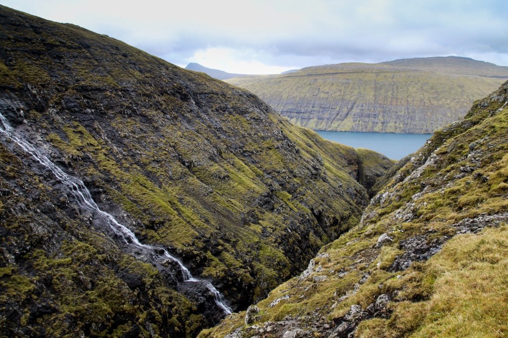
Cross the fence and start hiking up before you get to the gorge. You should be able to see a cairn above you that you can aim for. Once you get over the steep part, you will have to cross a fence and then continue on flatter ground with a gradual ascend. It can be a bit difficult to spot the cairns in this area as they are quite low, but keep walking straight and you will find them. If you want to see a beautiful gorge up close, take a small detour to the right.
Continue along the stream through a swampy meadow until the cairns take a left turn up a mountain pass. Where the landscape flattens out, you will see cairns to the left up Gásafelli and to the right up Krossafelli; this is the trail between Slættanes and Sandavágur. Don’t follow these cairns, instead follow the ones straight ahead. You’ll soon reach the highest point of the hike, afterwards it’s mostly downhill all the way to Sørvágur. The cairns can be difficult to spot as there are many rocks in the area, so take your time to make sure you don’t miss any.
The next section involves a river crossing and a few stream crossings, but they are all easy to get over. After a while, you will see a cairn to your left, ignore this as it’s a different trail and continue straight ahead. When you see the river Sjatlá, descend towards it and cross if possible. If you can’t cross it, you’ll need to hike down to the bridges on the road and then rejoin the trail afterwards, a detour of about 1 km each way.
Continue along the cairns to the right of the river and follow them down to a different part of the road, and then up again on the other side. You will have to cross a wide stream, and then continue upwards to the end of a gravel road. There, you will see a sheep trail which you can follow. You will soon spot the huge cairns on the trail from Sørvágur to Slættanes to your right. Don’t follow them, but instead continue straight ahead and follow the cairns down to Sørvágur which will soon appear in the distance. Continue down a dirt track that will take you to Sørvágur.
This hike is 9 km, takes 4-5 hours and is of moderate difficulty.

Leave a Comment