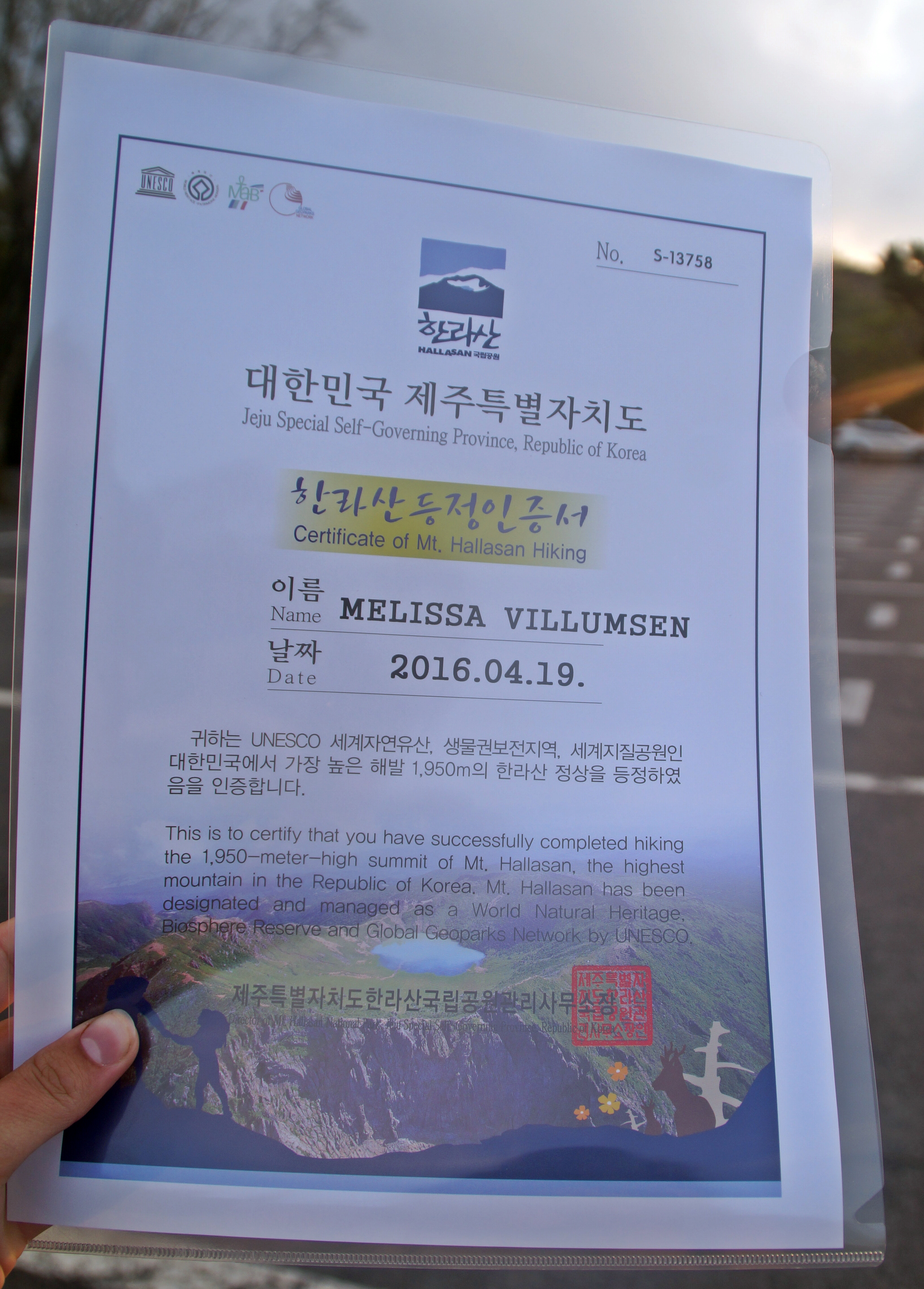
After spending a day in rainy Busan, I flew to Jeju Island, a special self-governing province located 130 km. from the southern coast of South Korea. Jeju Island is the honeymoon destination of South Korea, well known for its worldclass beaches and beautiful natural heritage. I spent my days on Jeju touring the island, going from one natural wonder to another. On my second day, I decided to do what I love the most – to go hiking in beautiful, natural surroundings. At 1950 m., Mount Hallasan is the tallest mountain in South Korea and therefore a must-do for me.
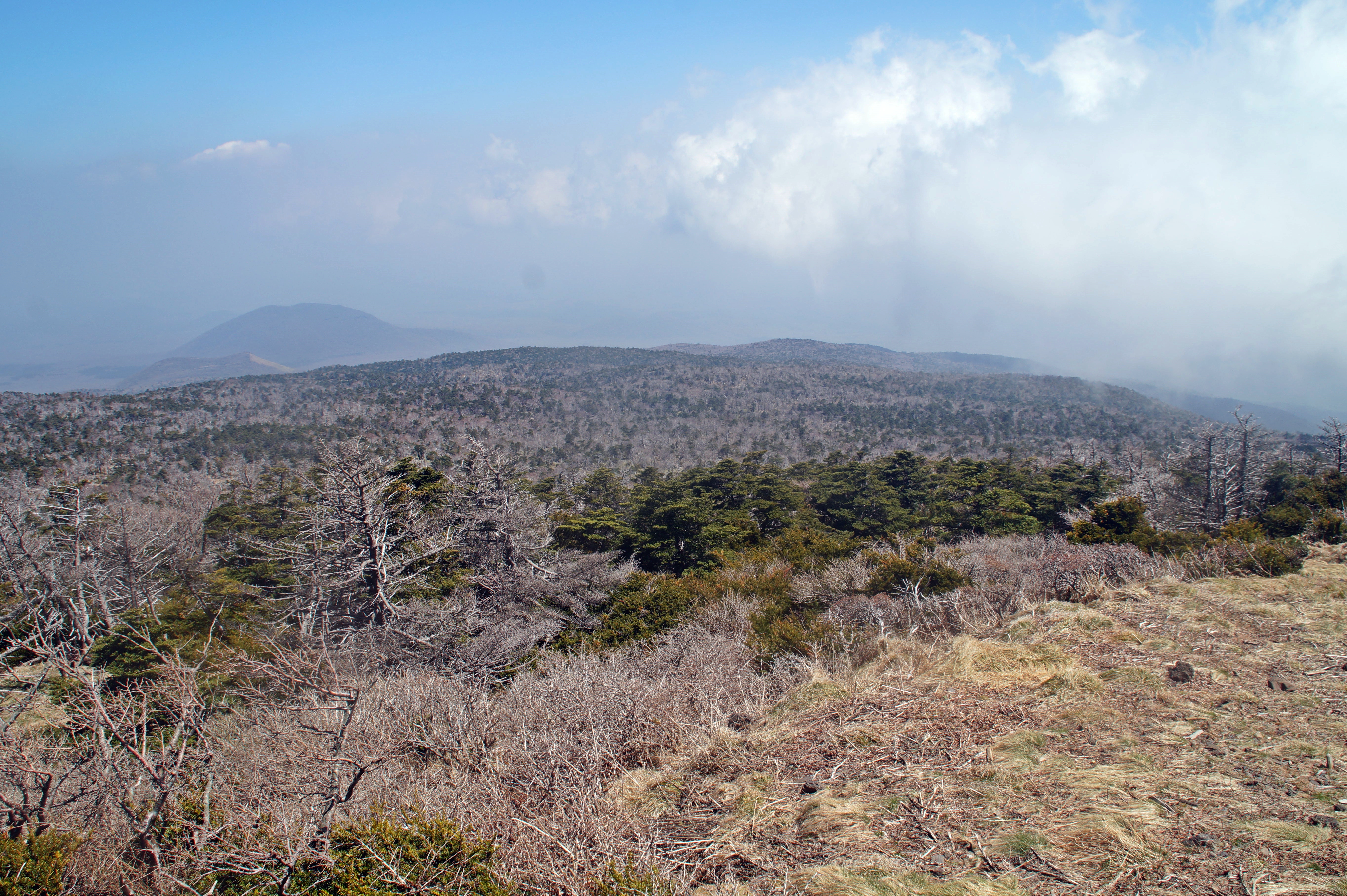
Mount Hallasan is an extinct shield volcano that can be seen from every corner of Jeju Island, since it’s situated right in the middle of the island. Climbing the volcano is a full-day activity and climbers have to start hiking at 10 AM in order to be safely down before sunset.
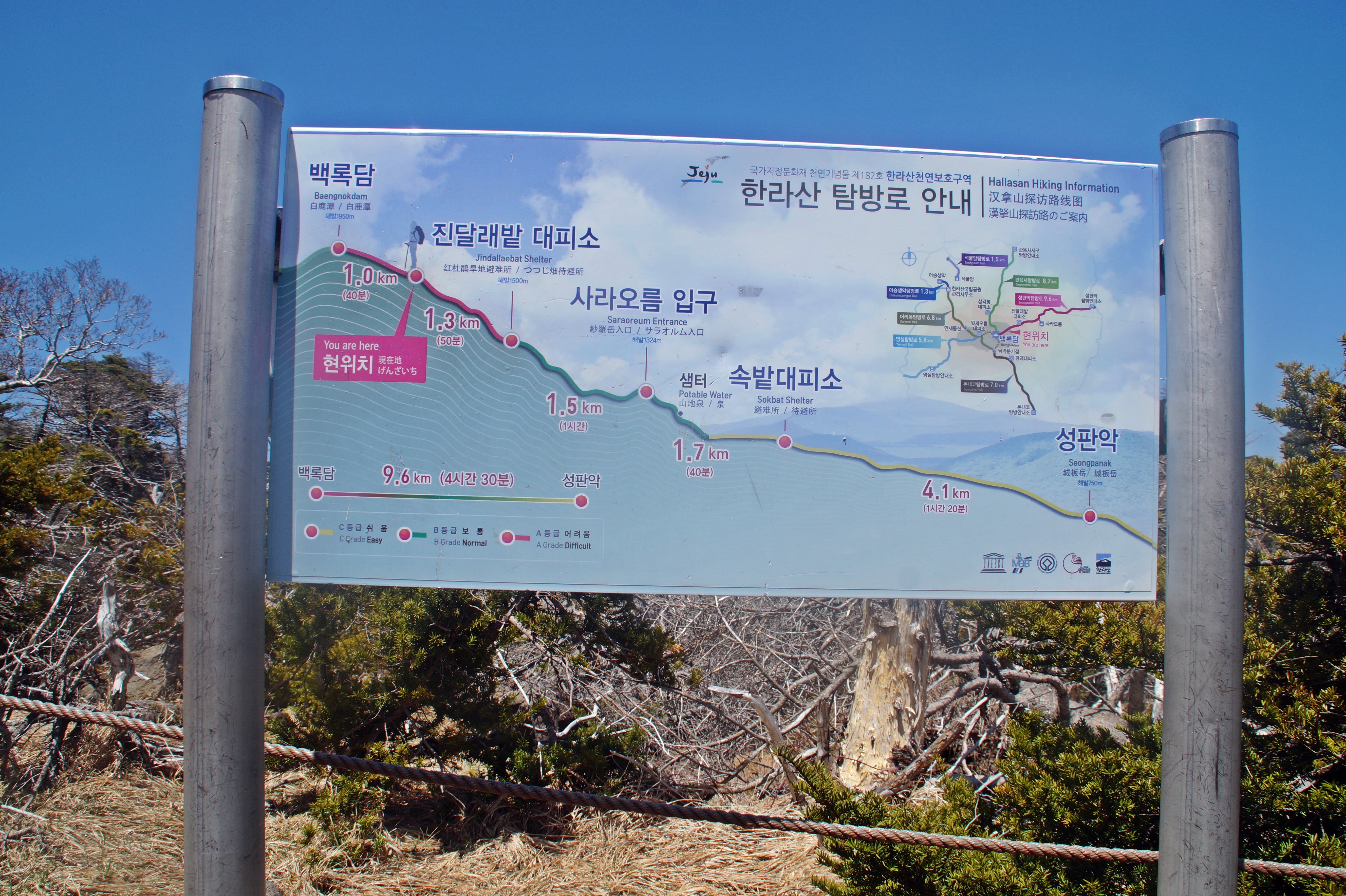
Since my phone had been shattered because of my stupidity on a top bunk in Japan, I had no alarm and therefore, no way of waking up early, since my body really likes to sleep. My ideal scenario was to get up at 6 AM and then get to the Hallasan National Park by 8 AM, but I couldn’t really plan anything. At the latest, I could get up at 8 AM, which would allow me enough time to get ready, go to the bus station, drive for 40 minutes and then be at the beginning of the 9,6 km. Seongpanak Trail leading to the summit of Mount Hallasan by 10 AM.
But of course, the universe didn’t want it to be that way. With a bit of luck, I opened my eyes at 8.40, debated for two seconds whether or not I could make it, decided to give it a go, ran to the bathroom and got ready in 10 minutes, ran to the bus station and caught a bus at 8.58 and arrived at 9.35 – talk about getting ready fast!
Okay, so I might not have looked my best that day, but it turned out to be one of the best days on this journey so far, so I’m really glad that I made the effort and got there in time to start the hike!
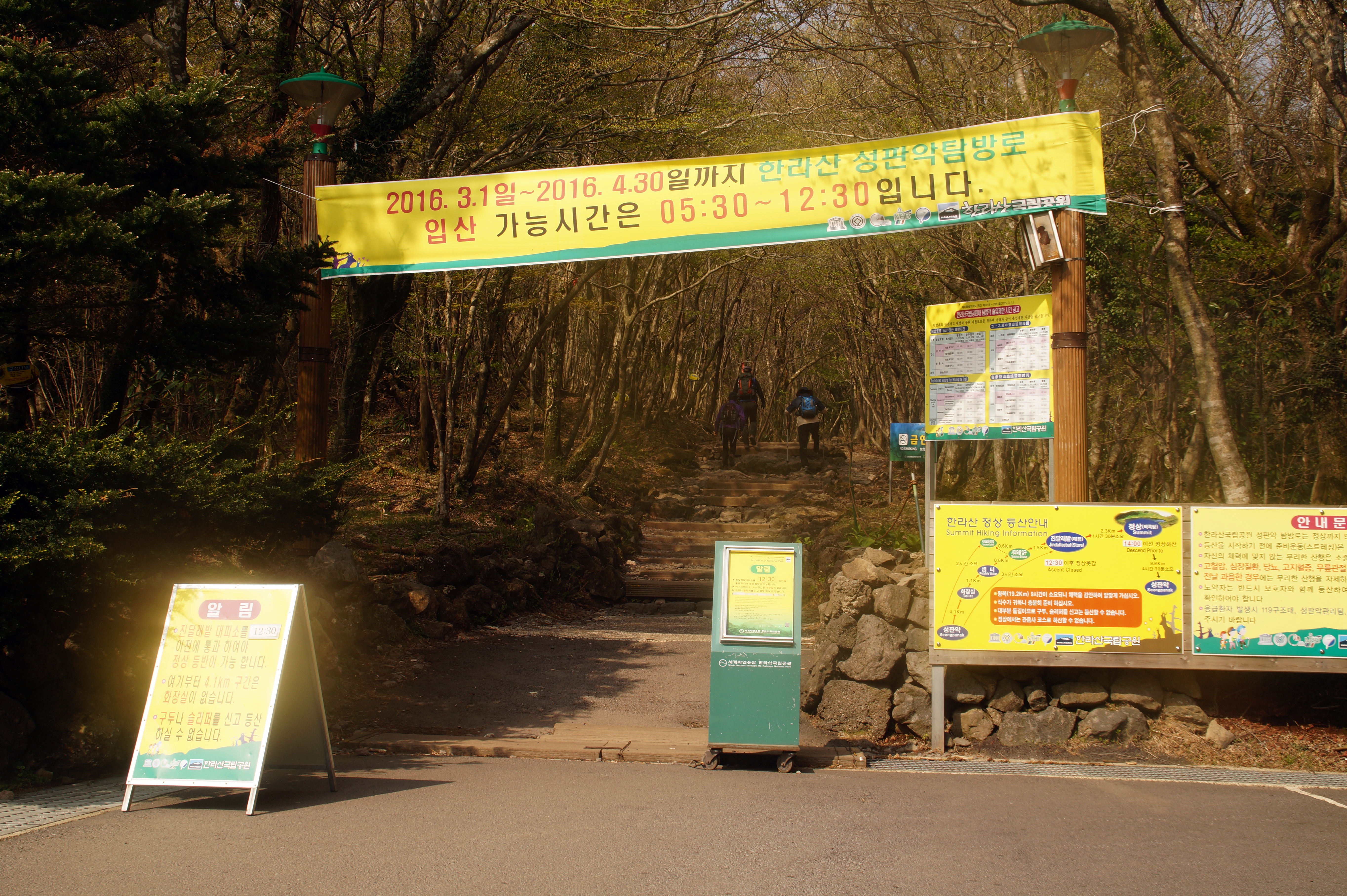
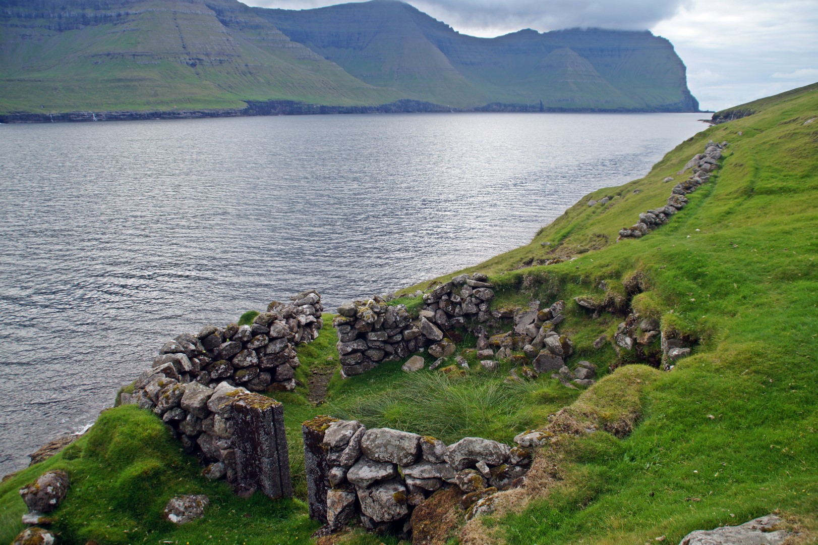
Seongpanak Trail start
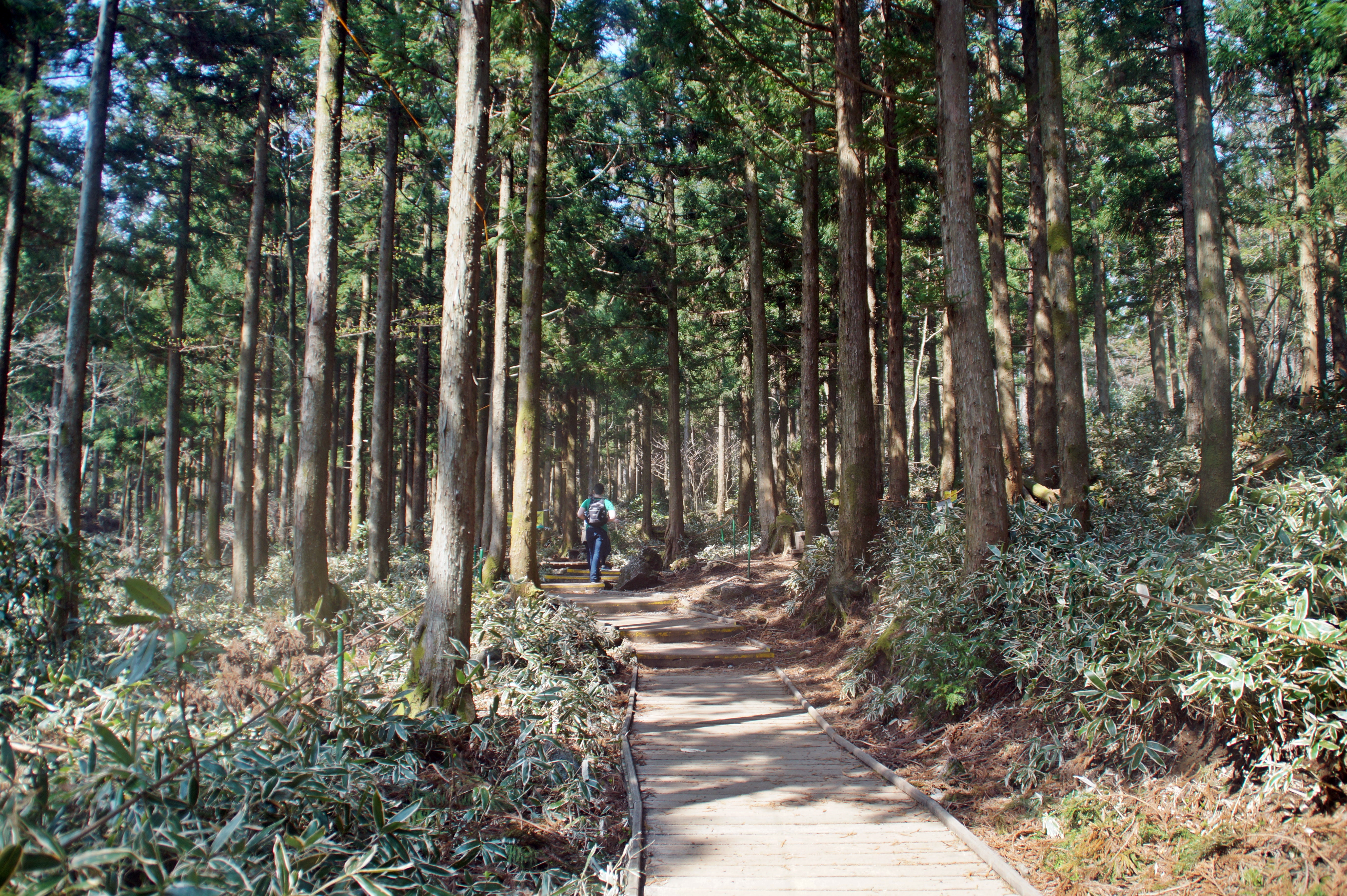
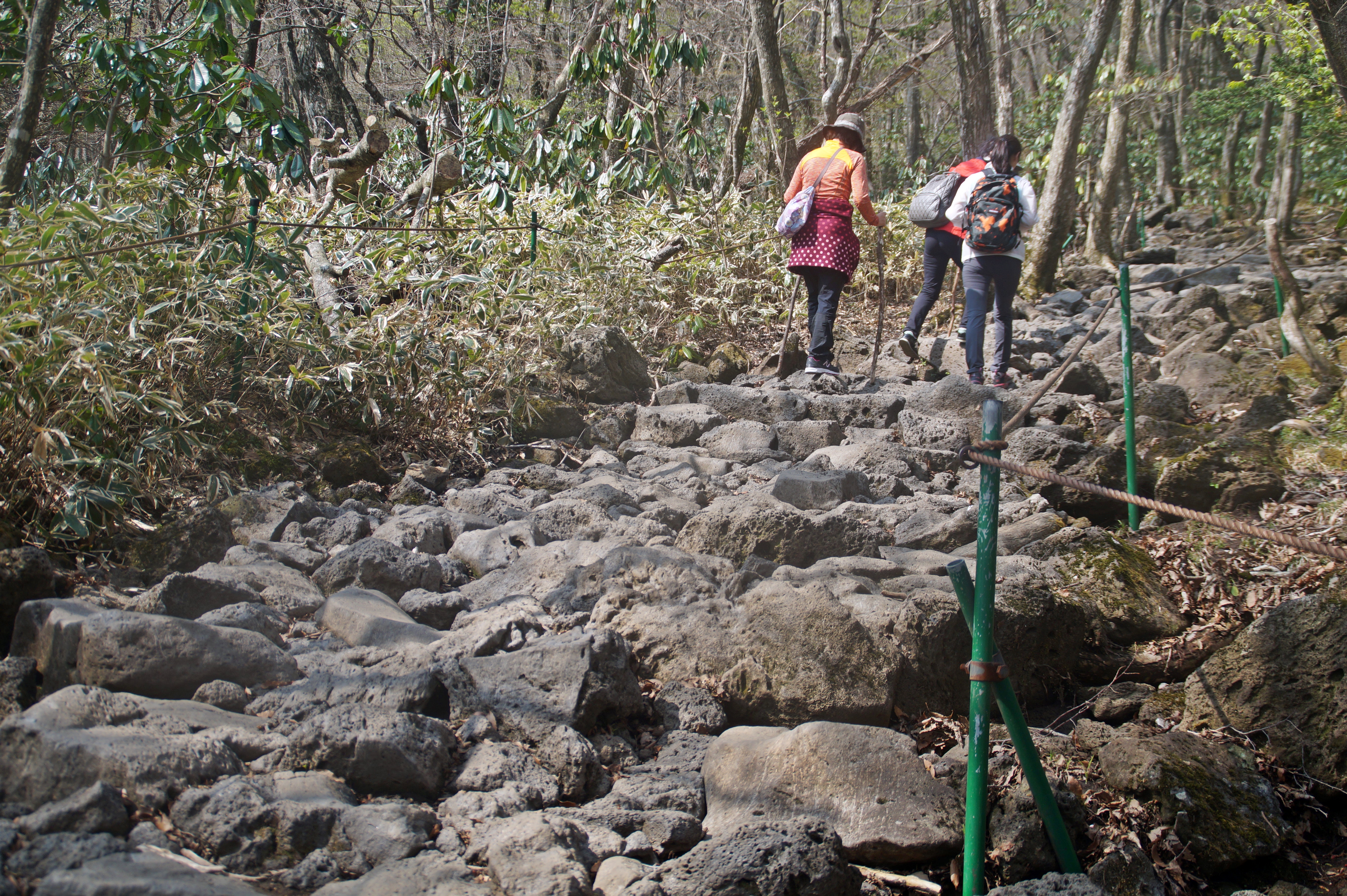
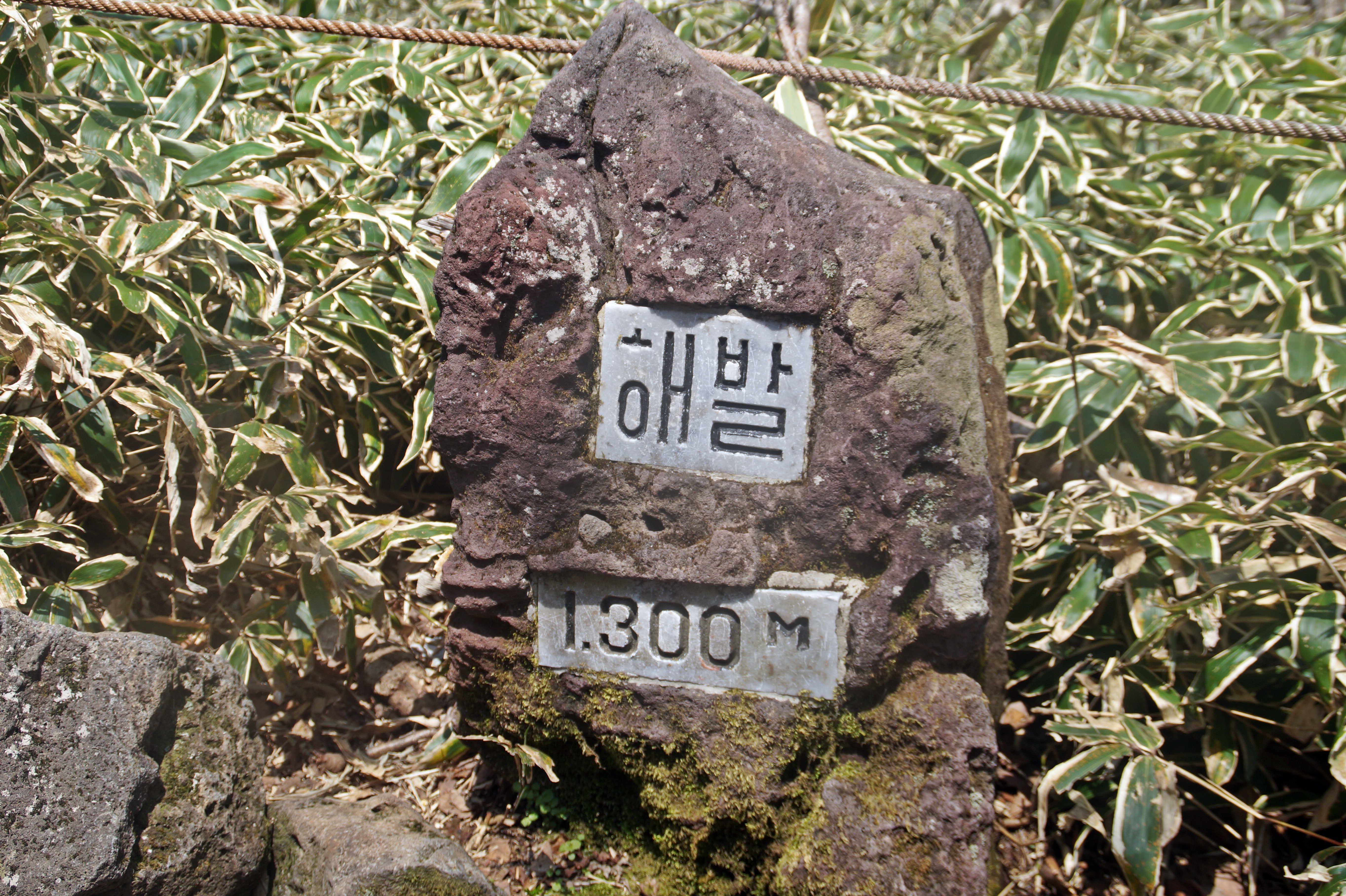
At 9.40 and at an altitude of 750 m., I set off on what would be one of the easiest, but also one of the longest, hikes that I’ve ever done. The entire trail was made with walkways or large stones and gradually went upwards all the time, but never so steep that it got tough. The only tough part was the length of the trail and the fact that I had almost no water.
Because I had been in such a rush in the morning, I had forgotten to fill up my water bottle, and walking in the spring heat was making me really thirsty. On the maps along the trail, I saw a sign that read “potable water”, so I relied on that to quench my thirst. But suddenly, I realized that I had gone past the place and had seen no sign of water anywhere. I was dying for some water, so thankfully a nice local guy poured some of his water into my bottle and saved my day!
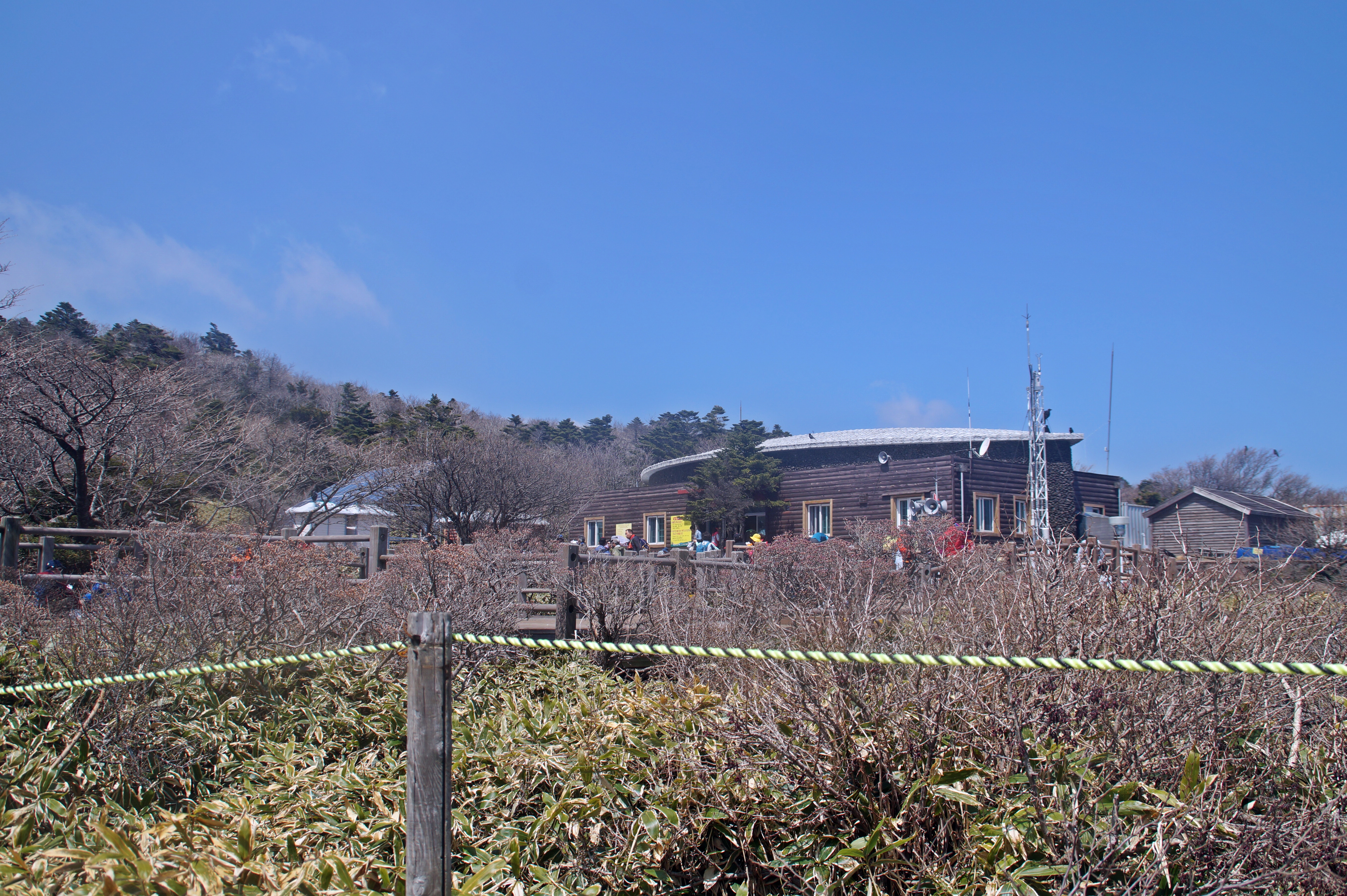
While hikers have to be at the beginning of the trail at 10 AM, there is also another point to reach before 12.30 AM – the Jindallaebat Shelter located 7,3 km. from the start, at an altitude of 1.500 m. Jindallaebat is the last rest stop on the trail and the check-in point for the summit.
I tried my best to walk as fast as possible, determined to reach there before 12.30 AM, so I could go to the summit. It would be such a shame to get so far and be so close to the summit, but then not be able to complete it. At the first shelter, I had allowed myself 1 minute of rest, two biscuits and some water before pushing on again. I had been walking so fast that I actually got to Jindallaebat at 11.40 AM, 50 minutes earlier than I had hoped for! It was great, because it meant that I could take a rest, buy some chocolate at the store and stock up on my water!
Almost at the shelter!
Relieved to finally be at the shelter!
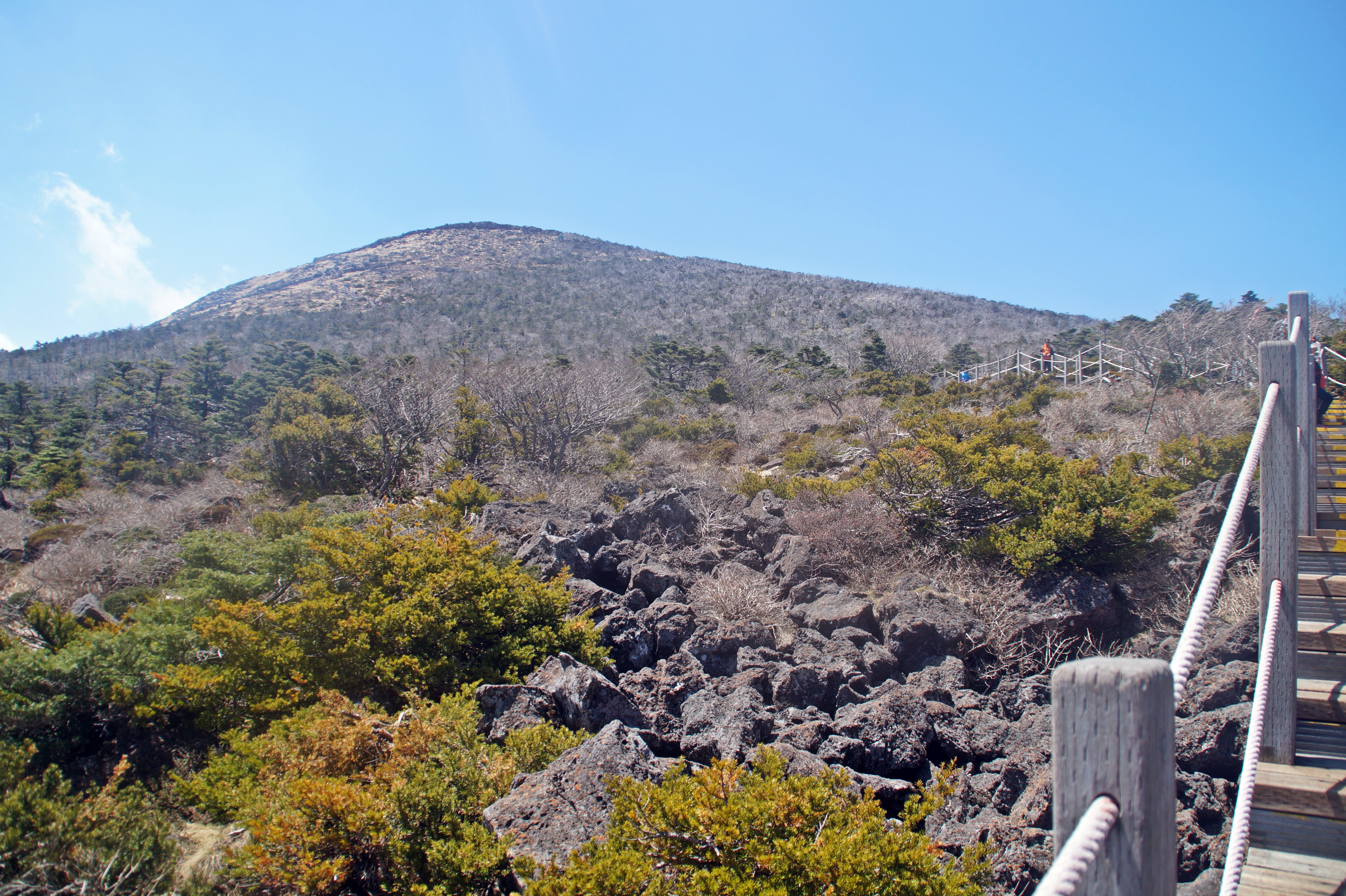
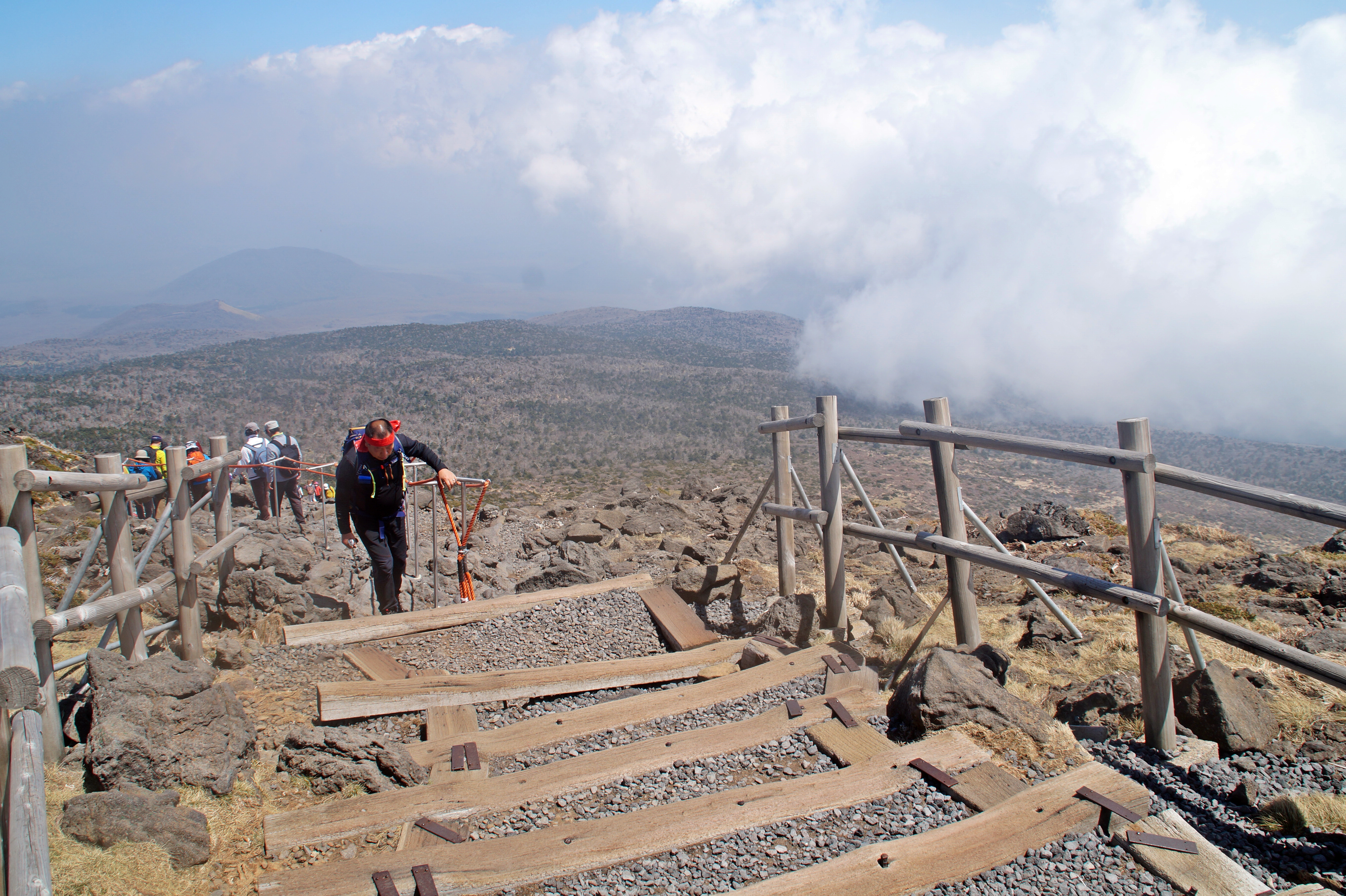
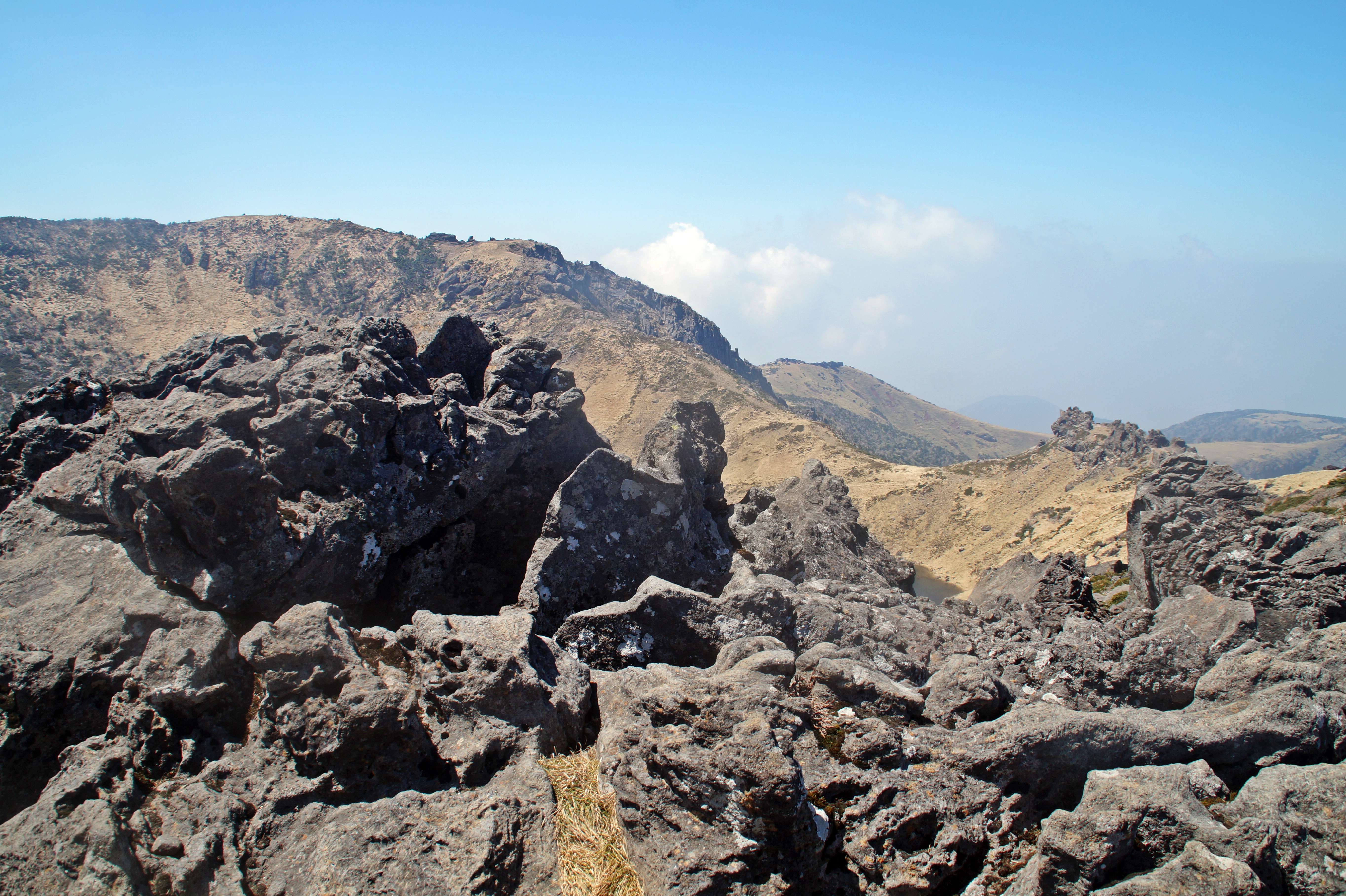
From the Jindallaebat Shelter there is just 450 m. to go on rather steep and overcrowded walkways. This was definitely the hardest part of the trail, mainly because my legs were exhausted after the long and quick hike that I had just done. But I pushed on and at 1.20 PM, I finally arrived at the summit of Mount Hallasan, and after taking a few photos of the view and the crater lake, I sat down to rest and that is where I stayed until it was time to start the descent.
Finally at the summit
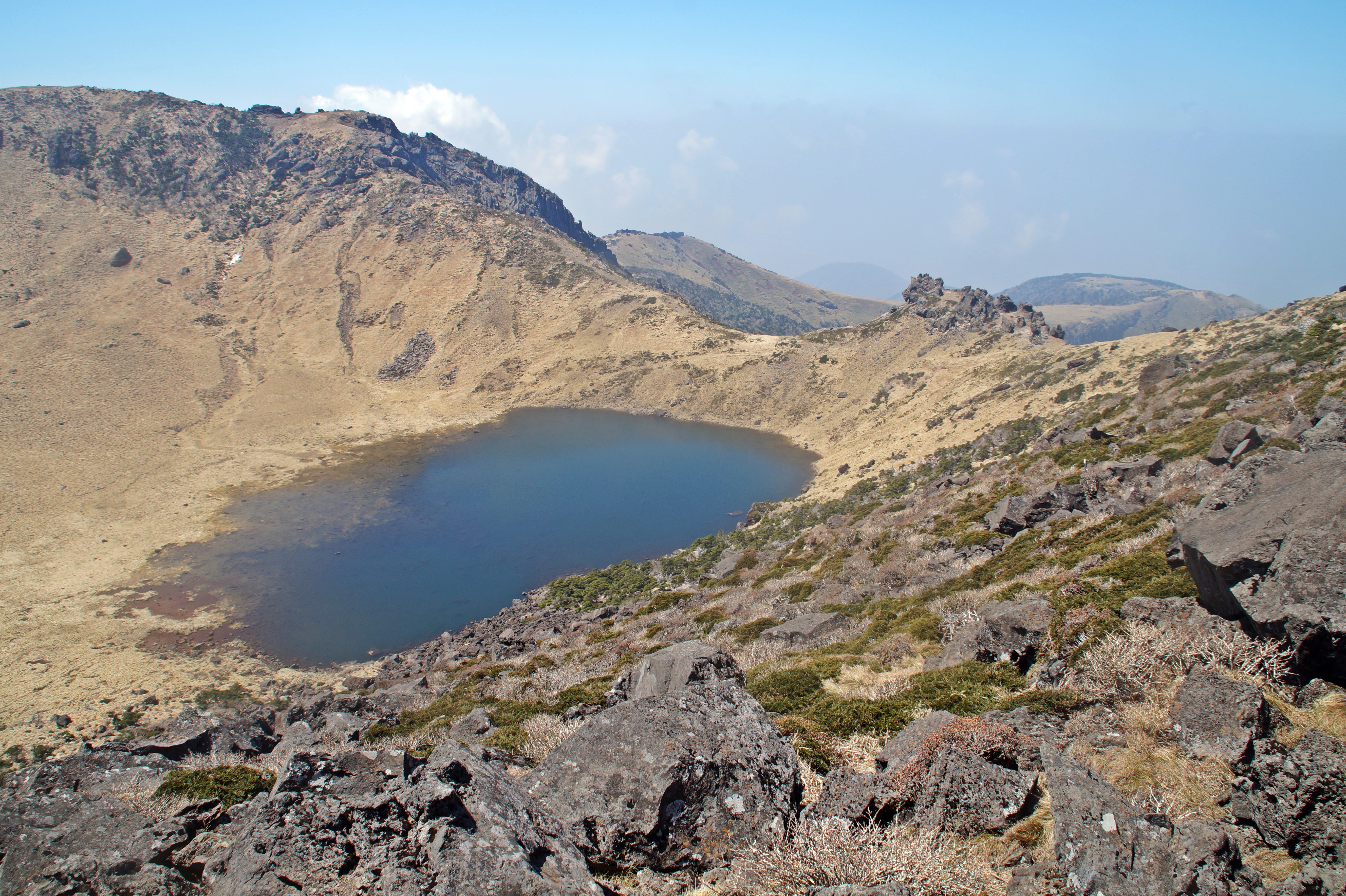
The crater lake
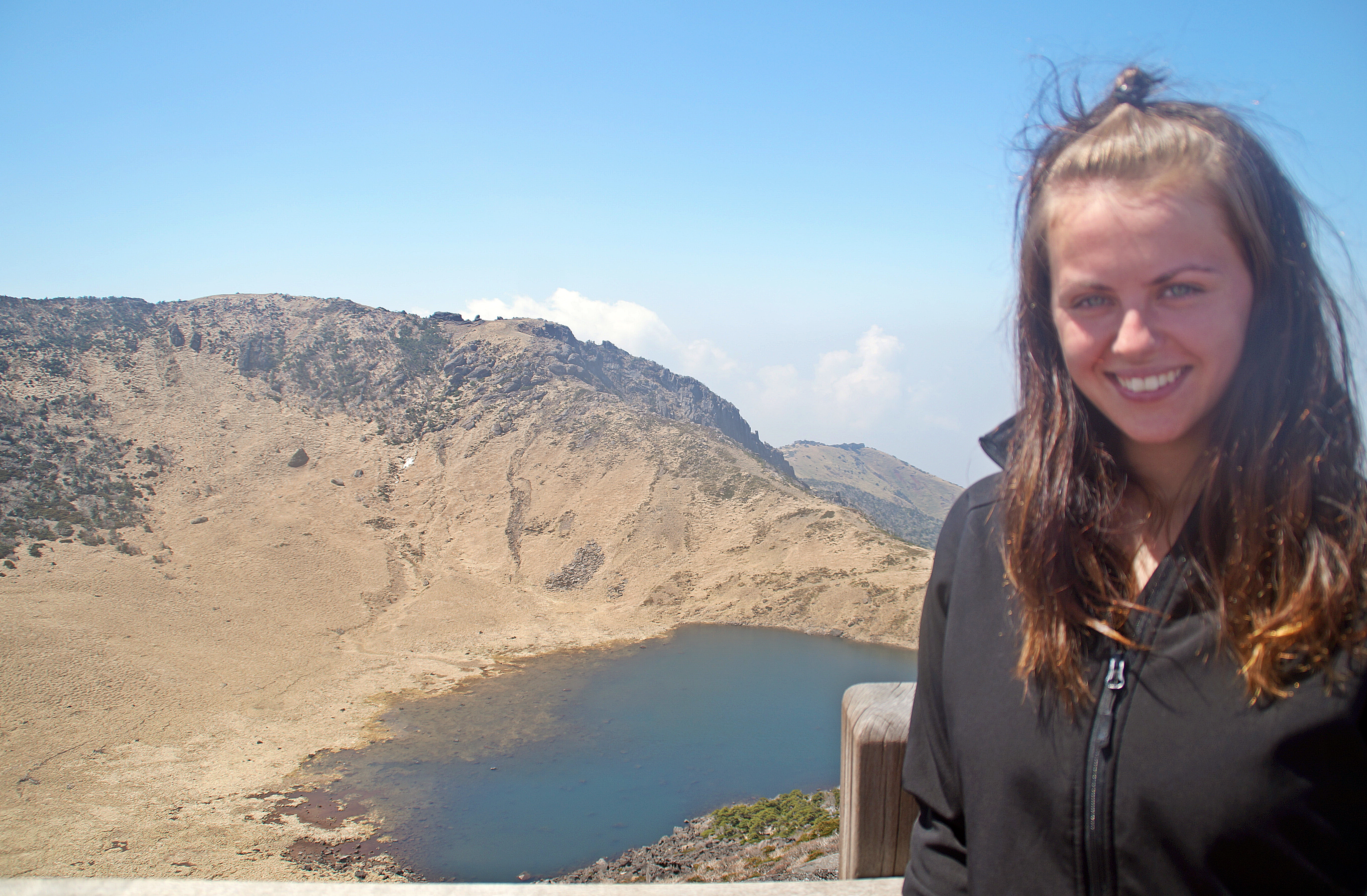
While resting, I got talking to two American girls called Alexandria and Taylor, and later, two English girls called Charlotte and Kate also joined the conversation. We all decided to do the long hike back together and although it was a struggle at times, it was enjoyable because of the great company.
At 3.10 PM, we had arrived back at the Jindallaebat Shelter, where we rested for a while, before starting the loooong journey back to the beginning of the trail, where a bus was waiting to take us back to Seogwipo. We got back at 5.30 PM, just half an hour before sunset. By the end of the hike, my legs felt like they could fall off any second, but despite the pain, I was extremely happy about my decision to go in the morning. Mount Hallasan is now the second tallest mountain that I’ve ever hiked (Mount Kinabalu is the tallest) and the tallest mountain that I’ve ever hiked alone!
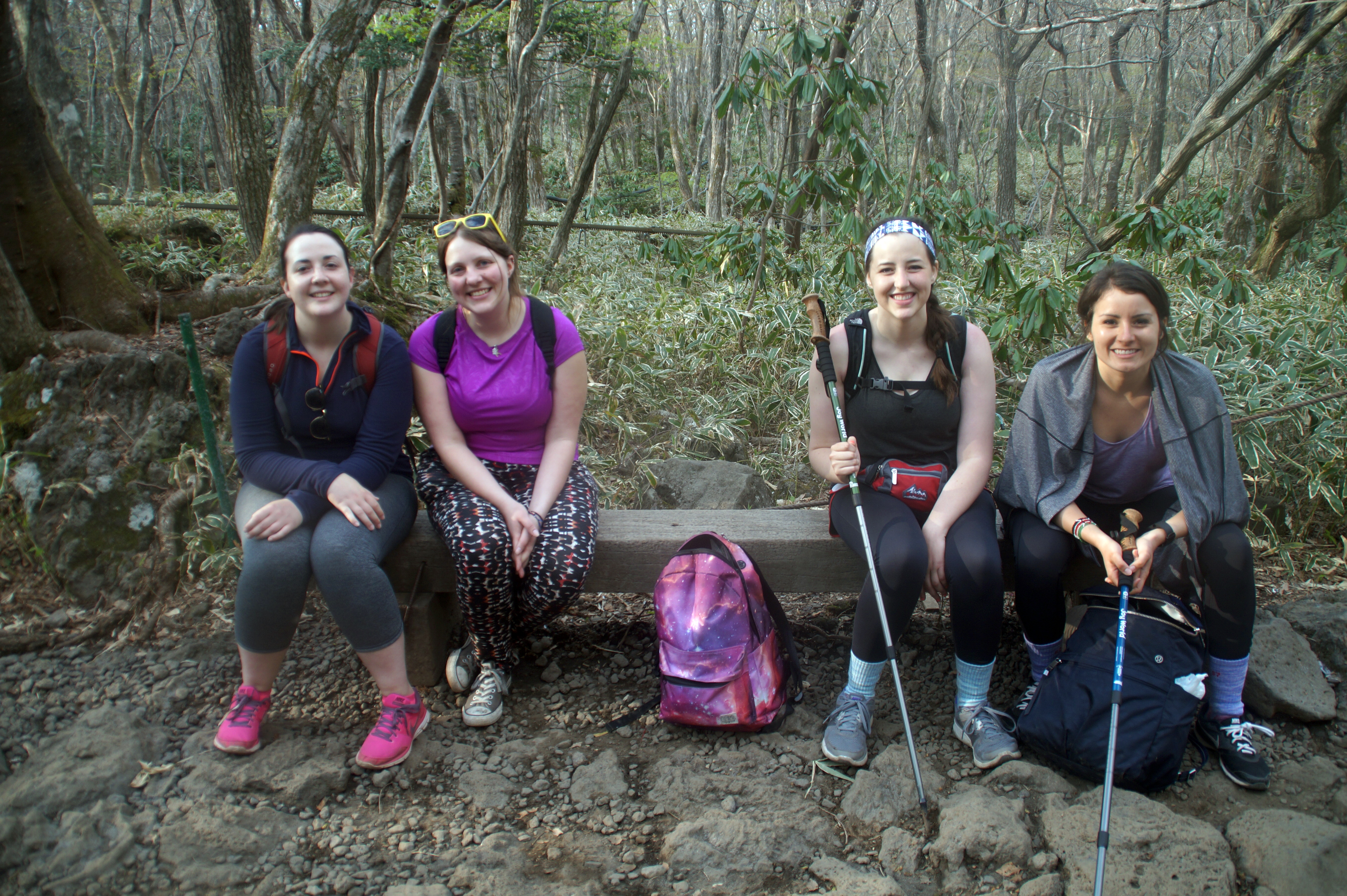
My new mountain friends

8 COMMENTS
Jasmine On
8 years agoHi, I am planning to hike Mt Hallasan in Nov. I will be staying in Seogwipo area.
You have indicated that you took a inter city bus direct from Seogwipo to Mt Hallasan.
What is the bus no? What is the bus fare? Where you took the bus?
Thanks
Jasmine
Melissa Cherry
8 years agoHi Jasmine! Unfortunately, I can’t remember those details about the bus, but I’m sure your hostel will know. From what I remember, it was quite difficult and I can’t find any information online, unfortunately :/
Monica
8 years agoSomeday you have to tell me how do you do to travel so much, Melissa 🙂
Melissa Cherry
8 years agoI will! Anytime you want 😀 but basically it’s about prioritizing travel over other things!
Ann
8 years agoCongratulations, Mel, you did it! Photos are super!
Melissa Cherry
8 years agoThank you Ann! I’m very glad I did 😀
Robert
8 years agoCongratulations for the successful hiking! 🙂 Very nice photos!
Melissa Cherry
8 years agoThank you so much Robert, I’m glad you liked them! 😀