This post contains affiliate links. If you make a purchase through these links, I may earn a commission at no extra cost to you. Thank you!
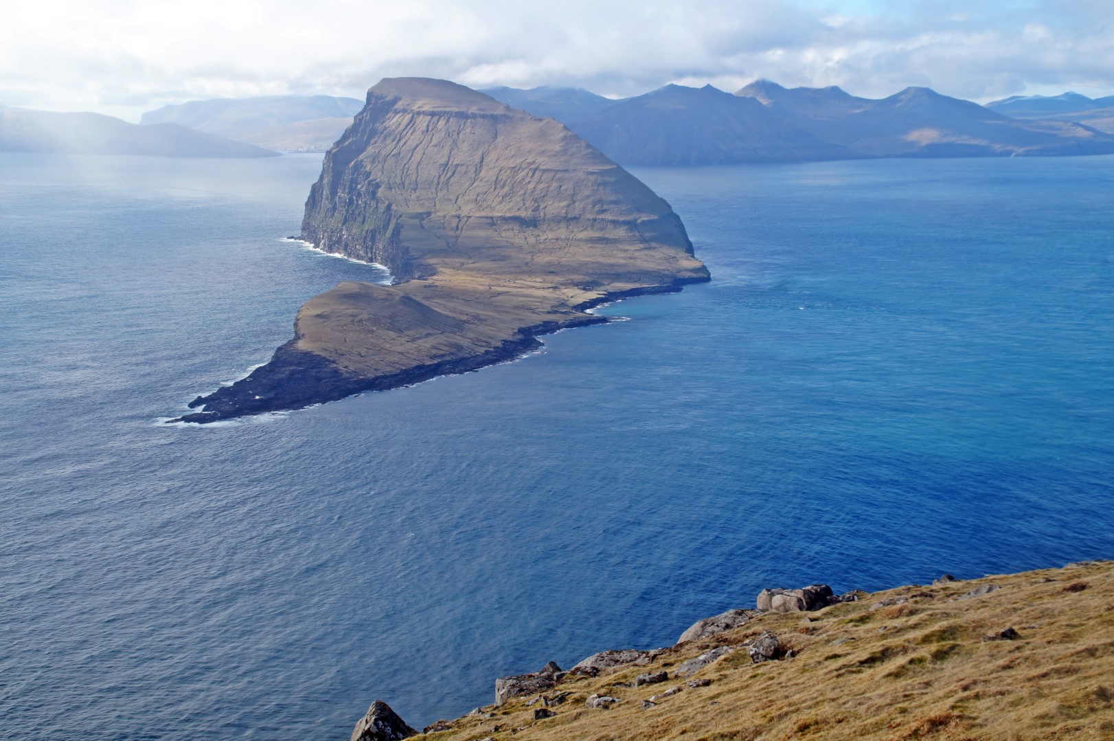
On my fourth day in the Faroe Islands, I felt a sudden urge to return to one of my favourite islands – Nólsoy. Originally, my plan was to see as many new islands as possible during the 7 days that I had available, but I had started to miss Nólsoy and after hiking to Mykineshólmur on Mykines three days ealier, I had become eager to try the more difficult hike to Borðan, the southernmost point on Nólsoy. The weather was great that day, the best that I had ever experienced on the Faroe Islands, so it was a perfect day for hiking.
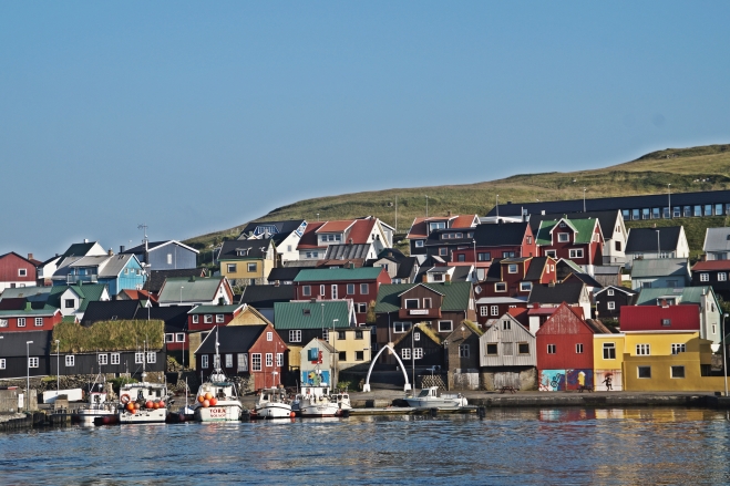
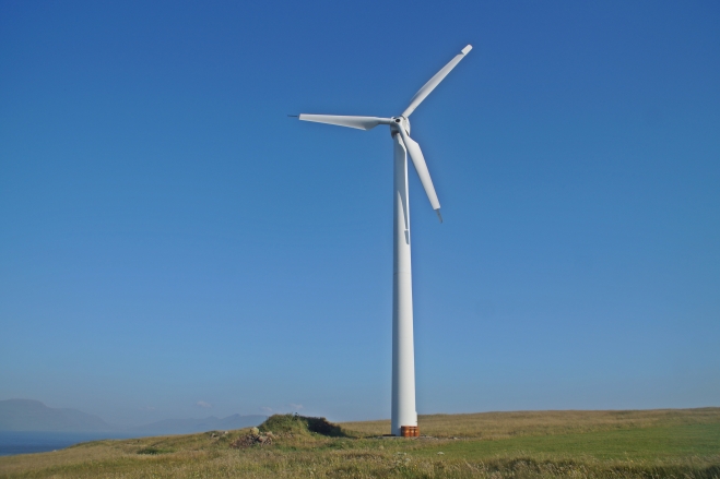
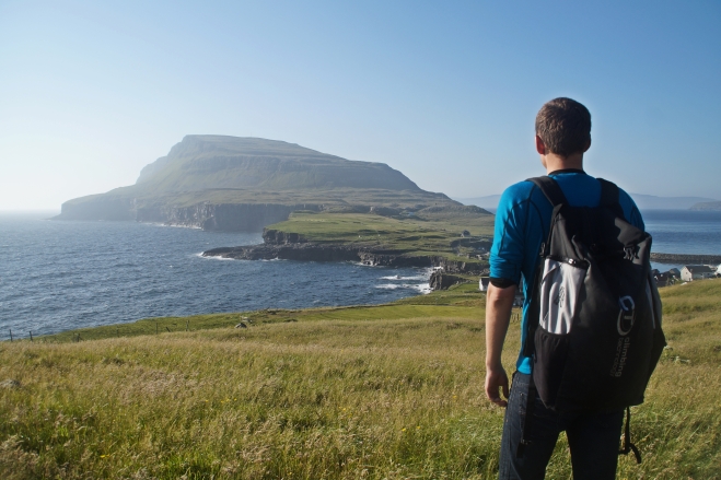
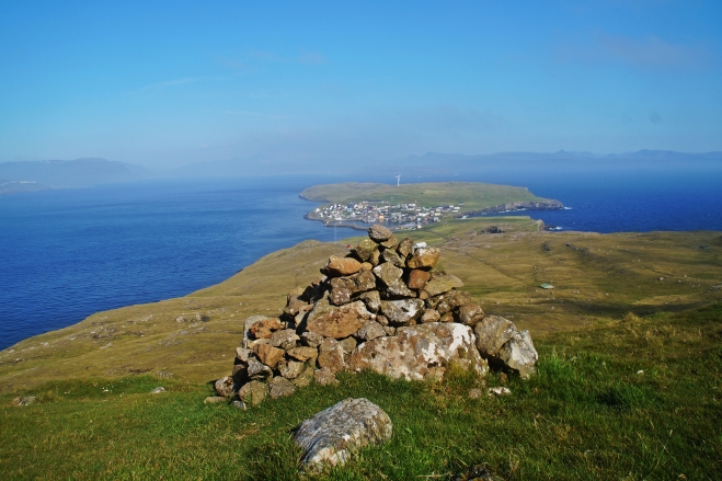
I invited Mads, my new hiking buddy, along and we set off early to the island located just across the fjord from Tórshavn. We wanted to get an early start, as the hike is supposed to take 3½ hours each way, but we had to get a few things to take with us before leaving for the hike and since the village shop didn’t open for another 40 minutes, we decided to walk the short distance to the windmill located a few hundred metres North of the village. Here we got a great view of the small village and the mountain that we would later climb, Eggjarklettur at 372 m.
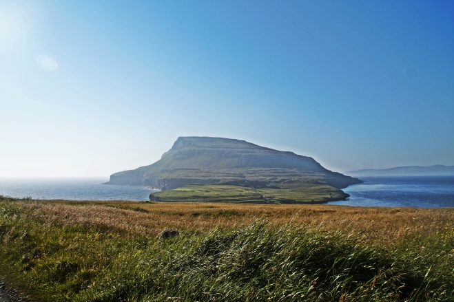
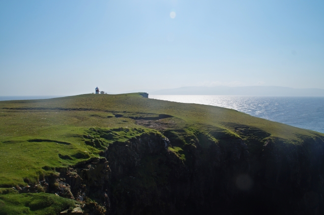
We arrived back half an hour after the shop had opened, bought our stuff and enjoyed a few Sun Lollys in the sun before setting off on our long hike to Borðan. Our goal of the day was to reach the lighthouse at the South end of Nólsoy.
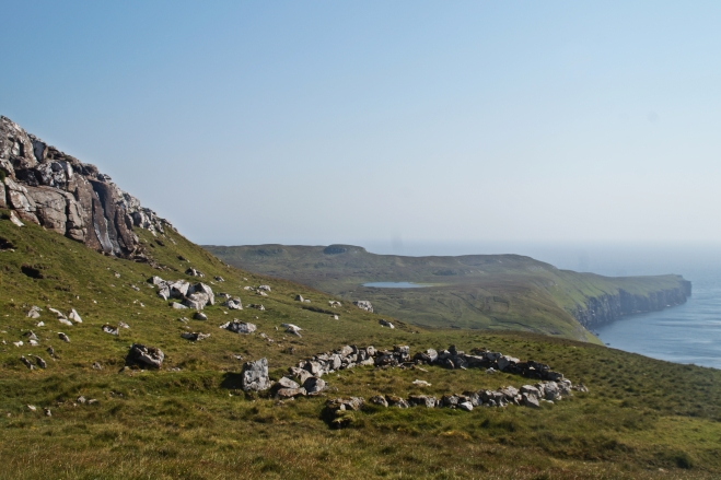
The first part of the hike is the most difficult part; climbing half way up Eggjarklettur before finally reaching flat ground. On the way, it’s possible to see the remains of Korndalur, the original settlement located about two hundred metres from the modern village. Mads and I had quite a hard time finding it though and we weren’t sure that we actually did.. There were a few houses scattered about and small pieces of ruins, but no actual town as far as we could see.
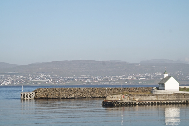
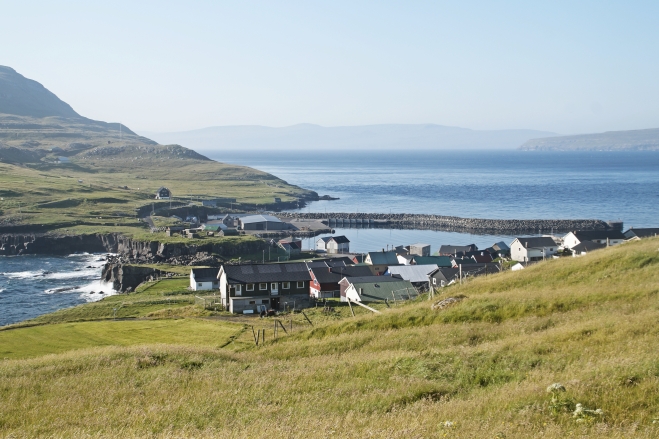
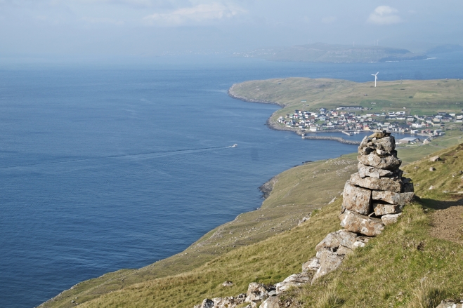
Once you get halfway up the mountain, it’s recommendable to take time to look back at the village and take in the most beautiful view that you can get on Nólsoy. From here, the houses look like small lego bricks, and it’s possible to see Tórshavn in the distance as well as the islands of Eysturoy and Borðoy. We took our first break here, not that we actually needed it after only 20 minutes of hiking, but the view was too breathtaking to move past quickly.
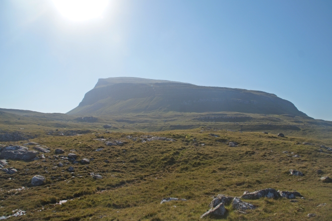
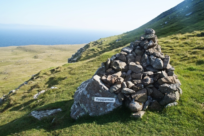
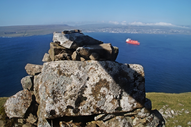
The next part of the hike was supposed to be the easy part, despite taking about 3 hours each way, as it is basically just flat ground with the mountain beside you at all times. But this proved to be the most challenging part – for us anyways – as the ground was slushy and swamp-like. It was awful to walk on and our feet were killing us before we were even halfway to the lighthouse.
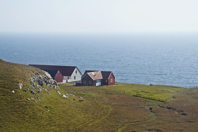
We had an idea that it wouldn’t take us long to get to the lighthouse, but somewhere along the path, we got a bit lost and ended up at what seemed like the most remote farm on Earth. But we were near the coast now, so all we had to do was to find the lighthouse. But since it’s a very small lighthouse, it was only thanks to Mads’ brilliant sense of direction that we eventually found it.
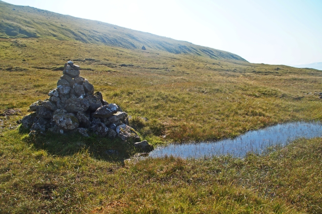
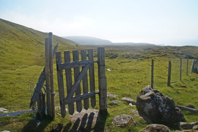
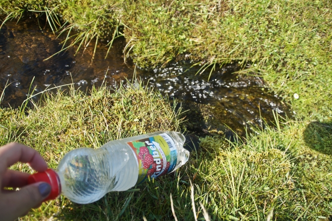
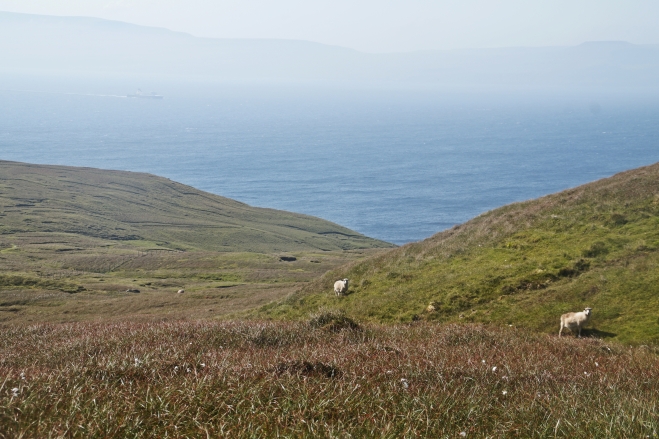
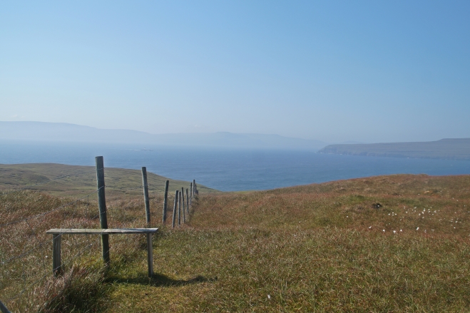
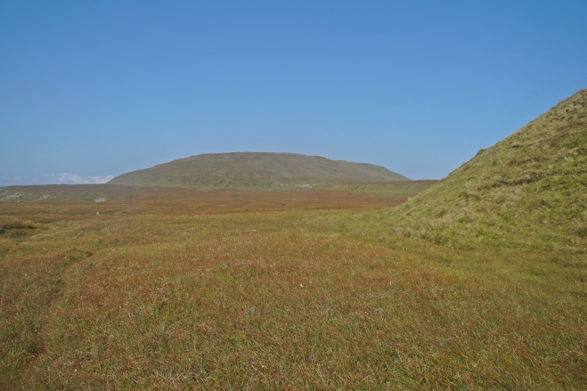
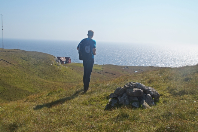
At the first sight of the lighthouse, I started running towards it as we had made a bet on how long it would take us to get there – and I won an icecream! Getting there after hiking for 3½ hours was such a great accomplishment – and now it was time to eat some lunch and relax for a while!
We later found out that there are actually two lighthouses on Nólsoy and the one that we hiked to is not the main one at Borðan, it’s the one at Øknastangi, which is the southeasternmost point on Nólsoy. Now it makes sense that the lighthouse was so small.. I also found out that the other lighthouse is located behind the farm that we walked past…. So as it turns out, we didn’t actually get lost – we just got confused!
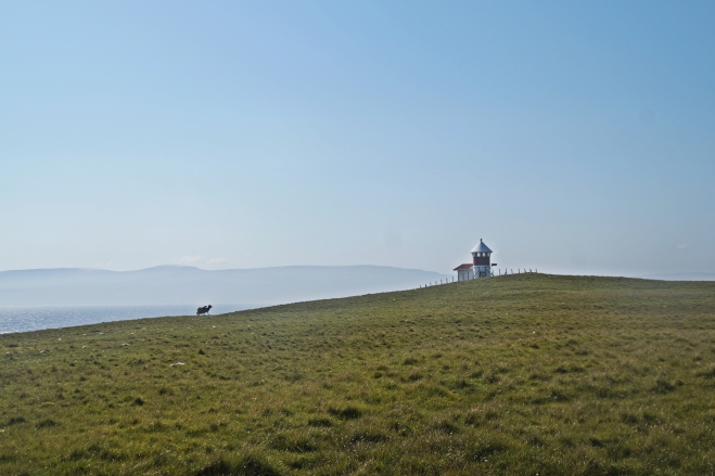
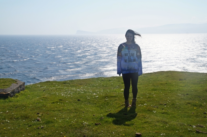
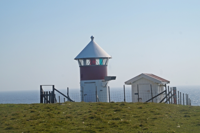
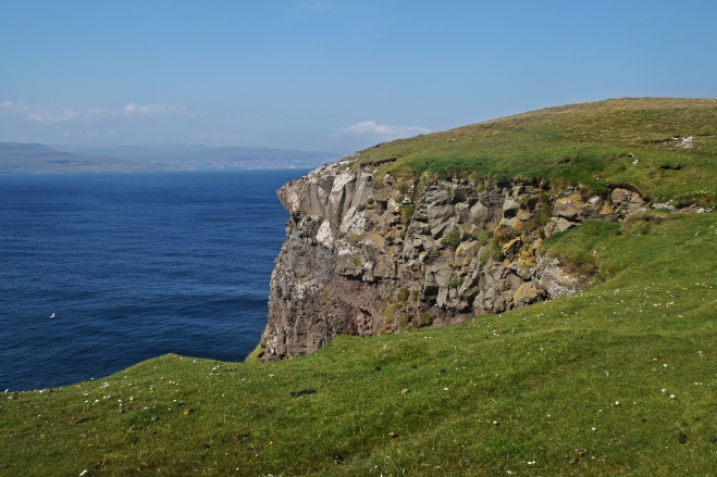
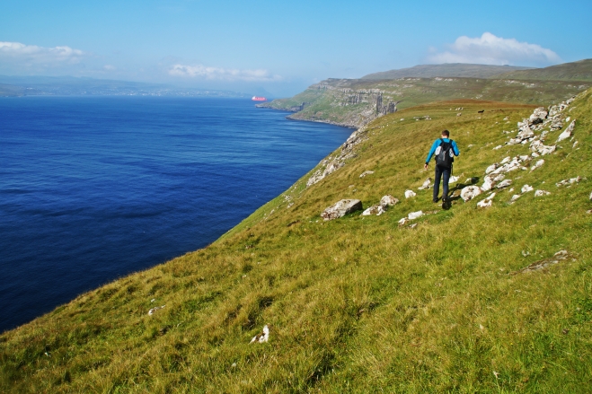
The lighthouse at Øknastangi is definitely worth hiking to as well though, as it’s very cute and the cliffs beneath it are beautiful. Since we were now closer to the village, it didn’t take us long to get back. We had a ferry to catch, so we picked up the pace and got back to the village 2,5 hours later. On the way back, we hiked along the coast, which had very steep cliffs, so it’s definitely a more dangerous route than the other one, but it’s also a lot quicker.
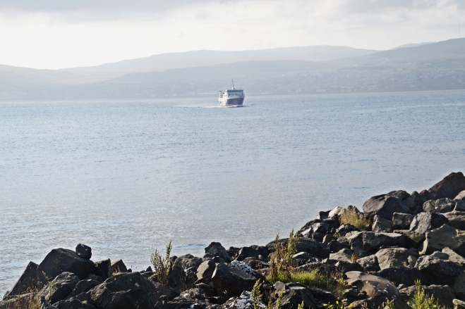
By the end of the hike, we had walked 18 kilometres in 6 hours, so we were really tired and worn out. I can’t even begin to describe how amazing the feeling was, when we could finally see the village again after climbing halfway up the mountain on the way home – such a relief to finally be back and be able to catch the ferry that we could see coming closer to the island.
Despite the hike being quite challenging, we had a fabulous day and the hike was very enjoyable. I can recommend it to anyone who loves to hike, has a thing for lighthouses and doesn’t mind getting a little dirty. Otherwise, Nólsoy is still a lovely place to visit, even if you don’t go hiking; The village is charming, the small walks are beautiful and the views are amazing from everywhere on Nólsoy!
Interested in exploring Nólsoy by boat?
Enjoy a unique trip around Nólsoy by boat where you’ll get to see the many hidden caves of the islands. It’s the perfect way to spot the seals, puffins and other seabirds that thrive on and around Nólsoy. The two-hour tour is available from April to October. The price starts at 2,100 DKK for 1-3 people. Read more here!
Alternatively, you could take a summer trip on the historic scooner Norðlýsið, where the captain will sail you around the island before stopping in the village. The three-hour tour is available from May to August. The price is 850 DKK per person for adults and 425 DKK for children. Read more here.
Leave a Comment
Pingback: A hike to the abandoned village of Skarð | I Live as I Dream on 14/09/2015
Pingback: An abandoned world: A hike to the forsaken village of Skarð – Northtrotter on 14/09/2015
2 COMMENTS