This post contains affiliate links. If you make a purchase through these links, I may earn a commission at no extra cost to you. Thank you!
After spending two nights in Vestmanna with Rigmor, Jens and their family, it was time to head back to Hoyvík and Poul and his family. We had arranged to go on a 1-night trip to the island of Hestur the next day, as Poul’s family owns a house there. Hestur was one of four islands in the Faroe Islands that I had yet to visit, so I was very excited to go there and cross another one off the list. Now I only have Lítla Dímun, Fugloy and Svínoy left!
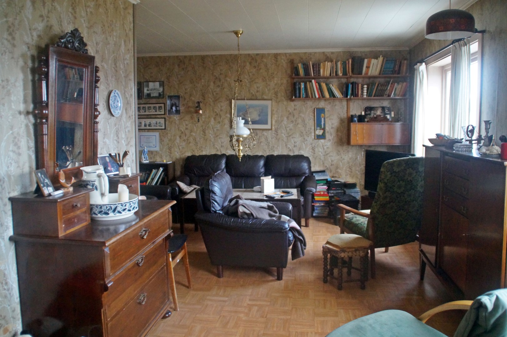
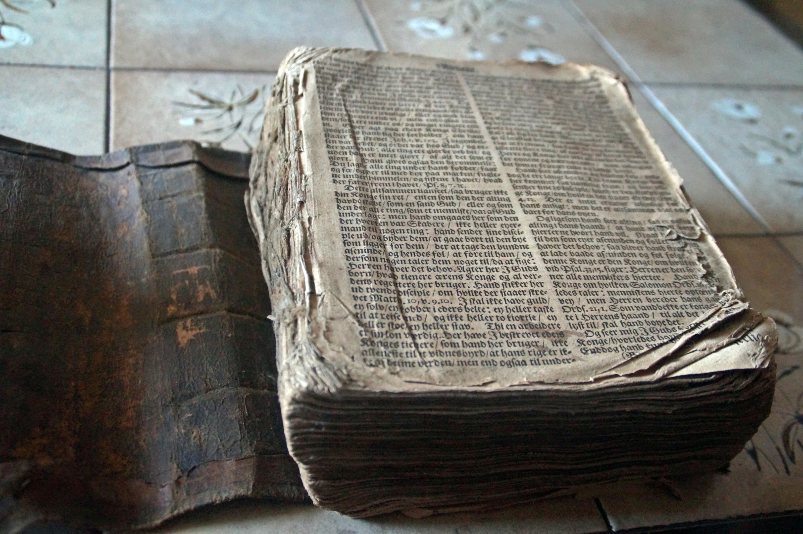
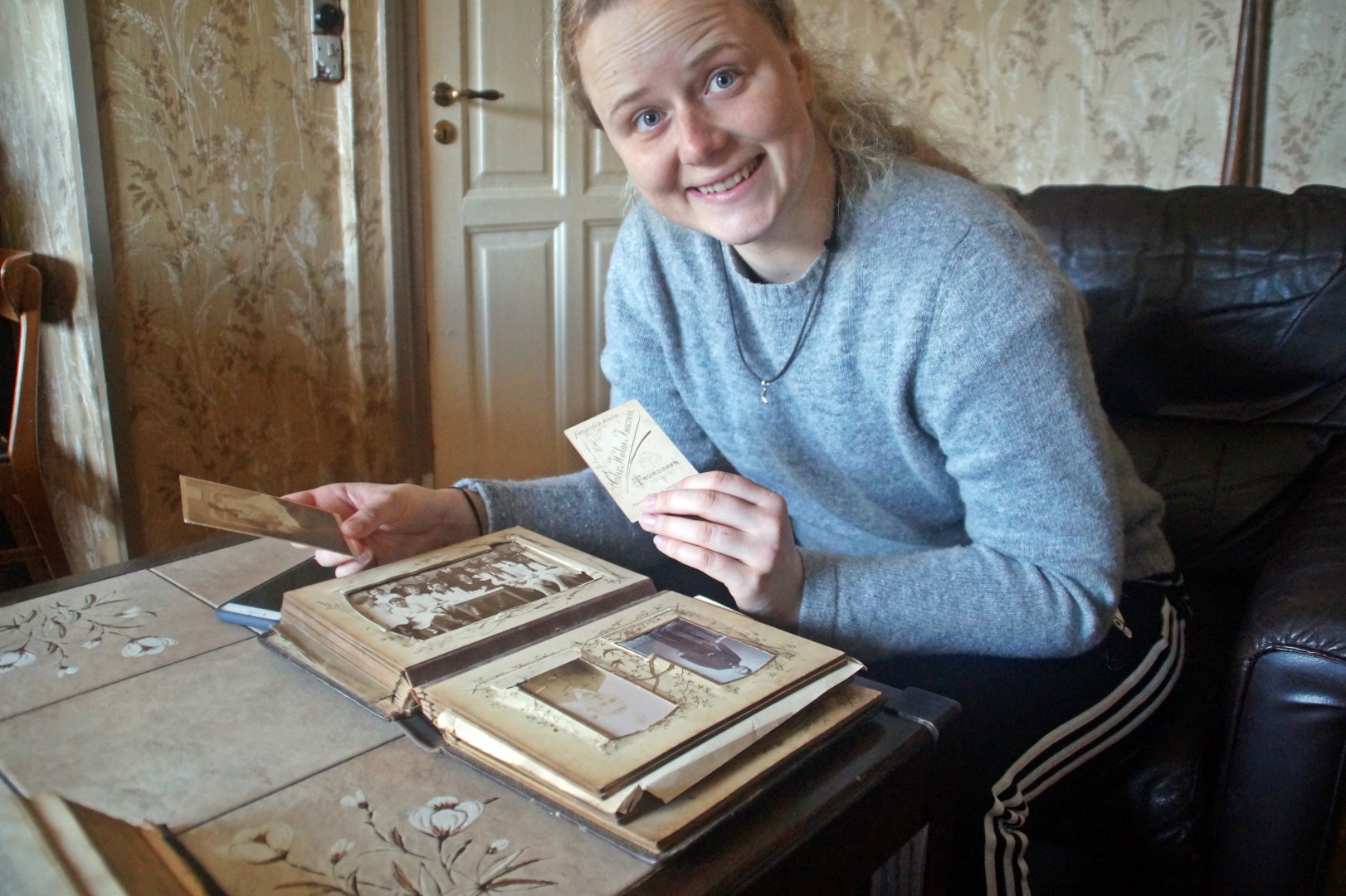
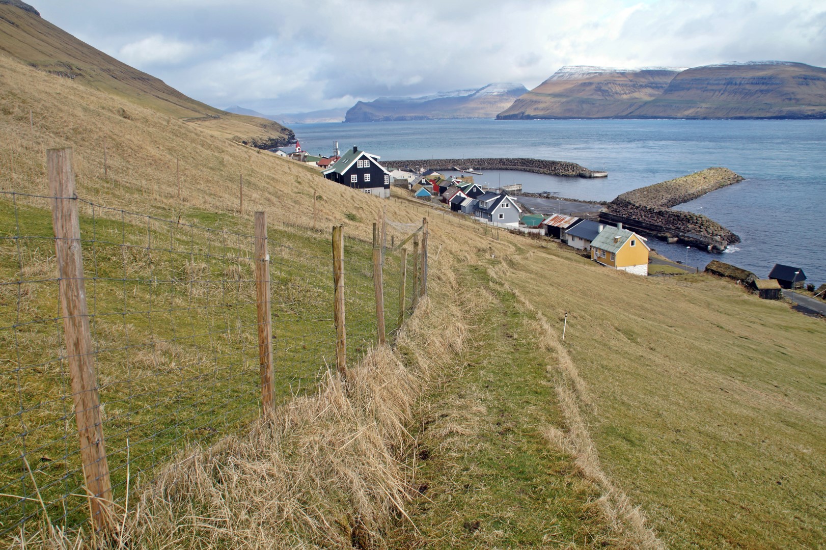
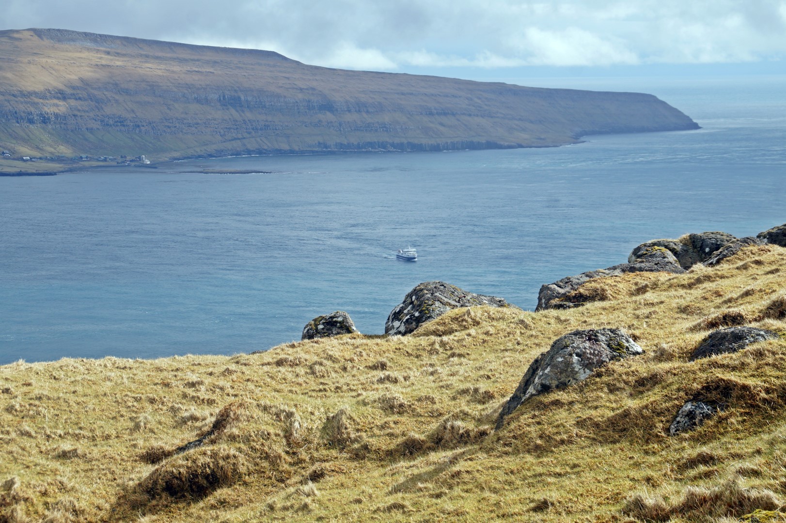
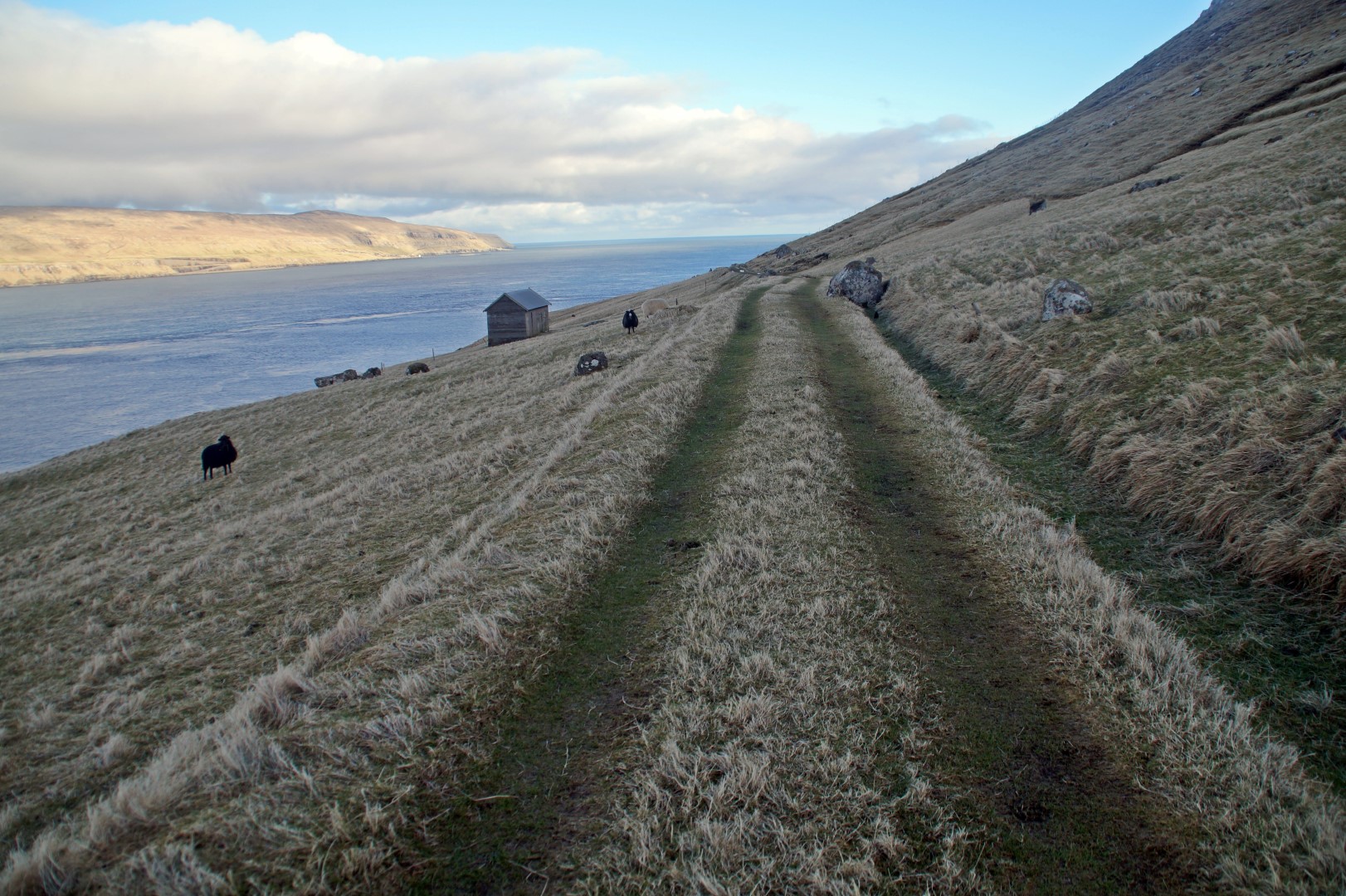
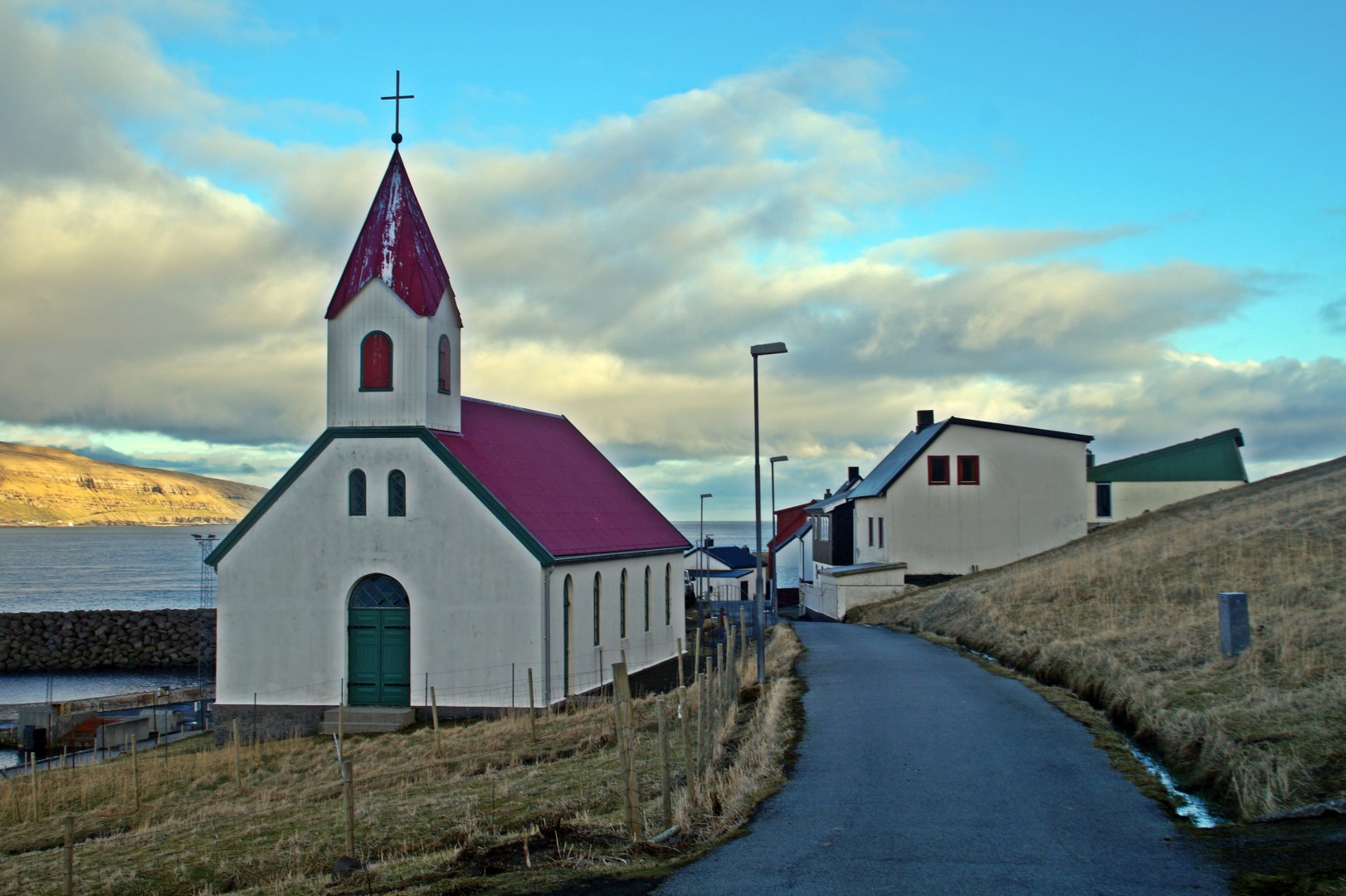
We left Hoyvík early in the morning to catch the ferry to Hestur from the harbour in Gamlarætt at 8.45. 15 minutes later, we arrived on the island and walked to the family’s old house, located right by the church in the only existing village on the island. Their house is very cozy and reminded me of a modern version of Erling’s summer house in Saksun. There are a lot of interesting things in the house, including a 400-year-old bible!!!!!
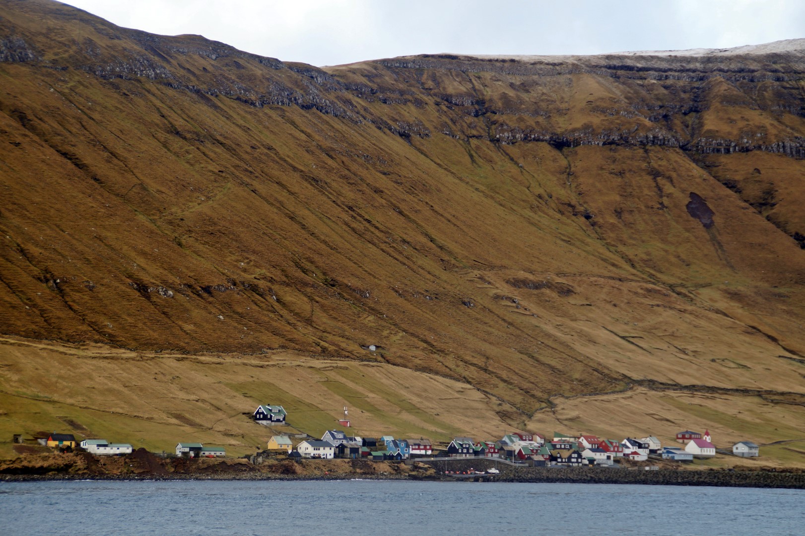
I didn’t really know what to expect of Hestur. I knew that it would be a beautiful island, because everything in the Faroe Islands is, but I didn’t expect much of it since it doesn’t look too spectacular from the ‘mainland’. But the island sure did surprise me – and big time!!
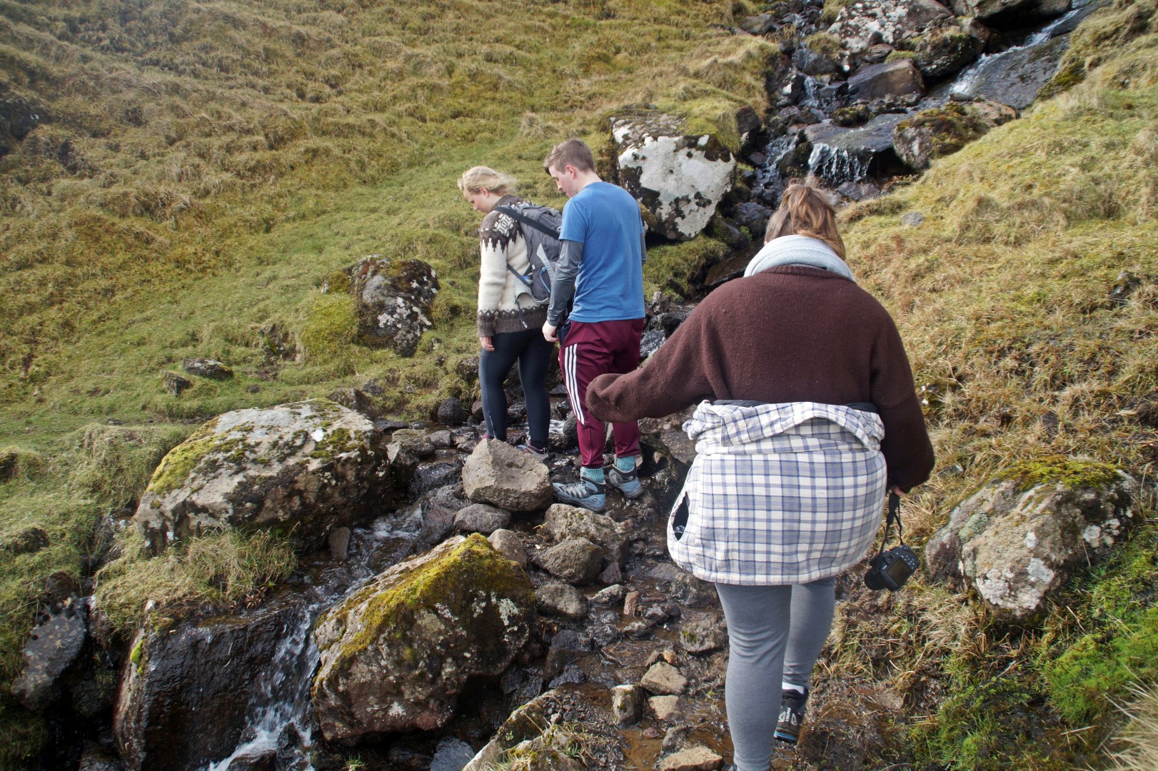
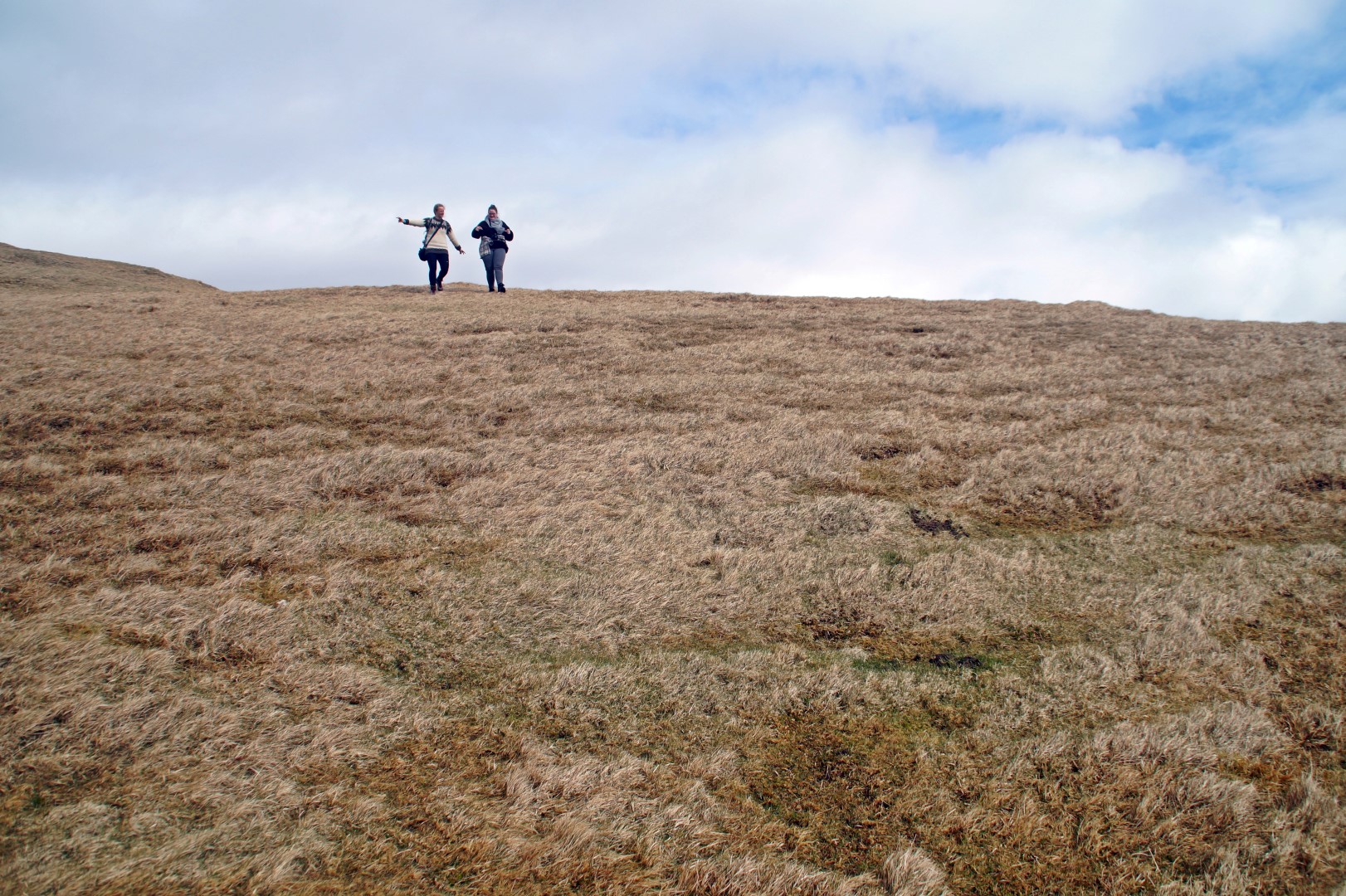
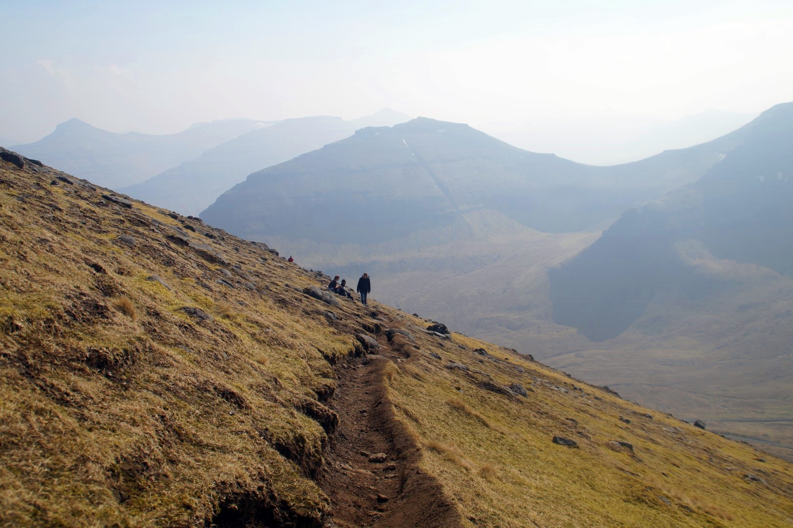
An hour after arriving, Katrine, Poul and Poul’s sister Ata and I decided to go on a hike. What started off as a plan for a short hike to an abandoned Viking Age village in Hælur, ended with being a 30 kilometre long hike around and through the entire island for Poul and I, discovering new amazing places and breathtaking views of the other islands.
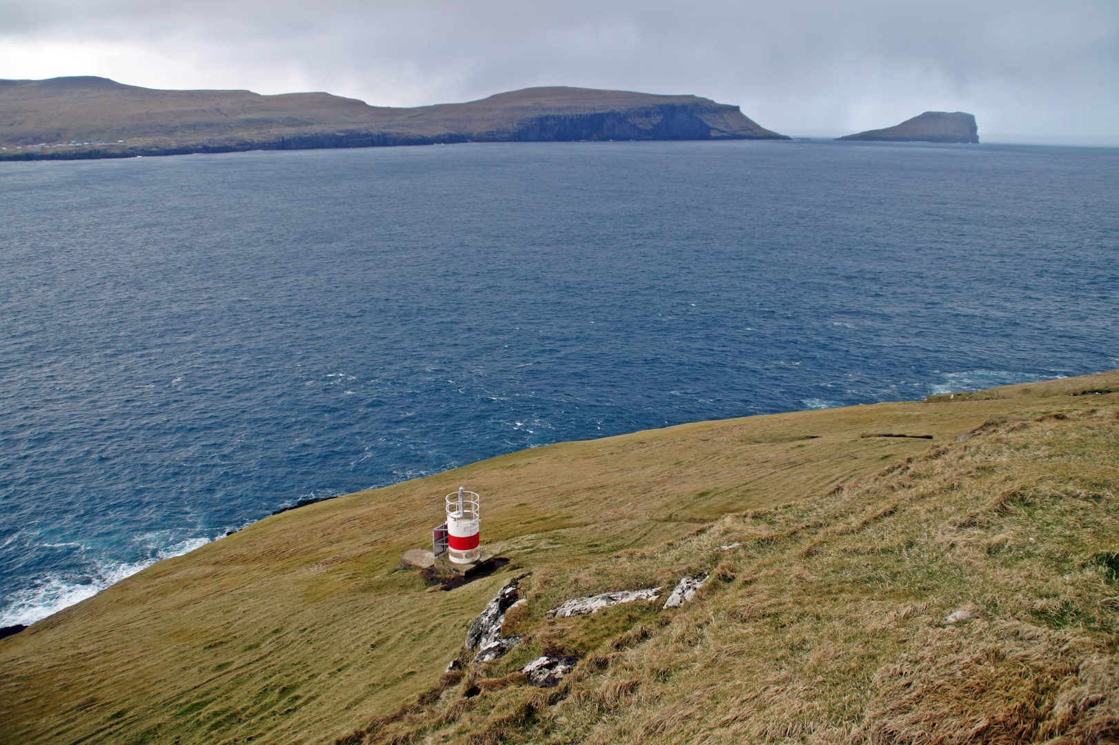
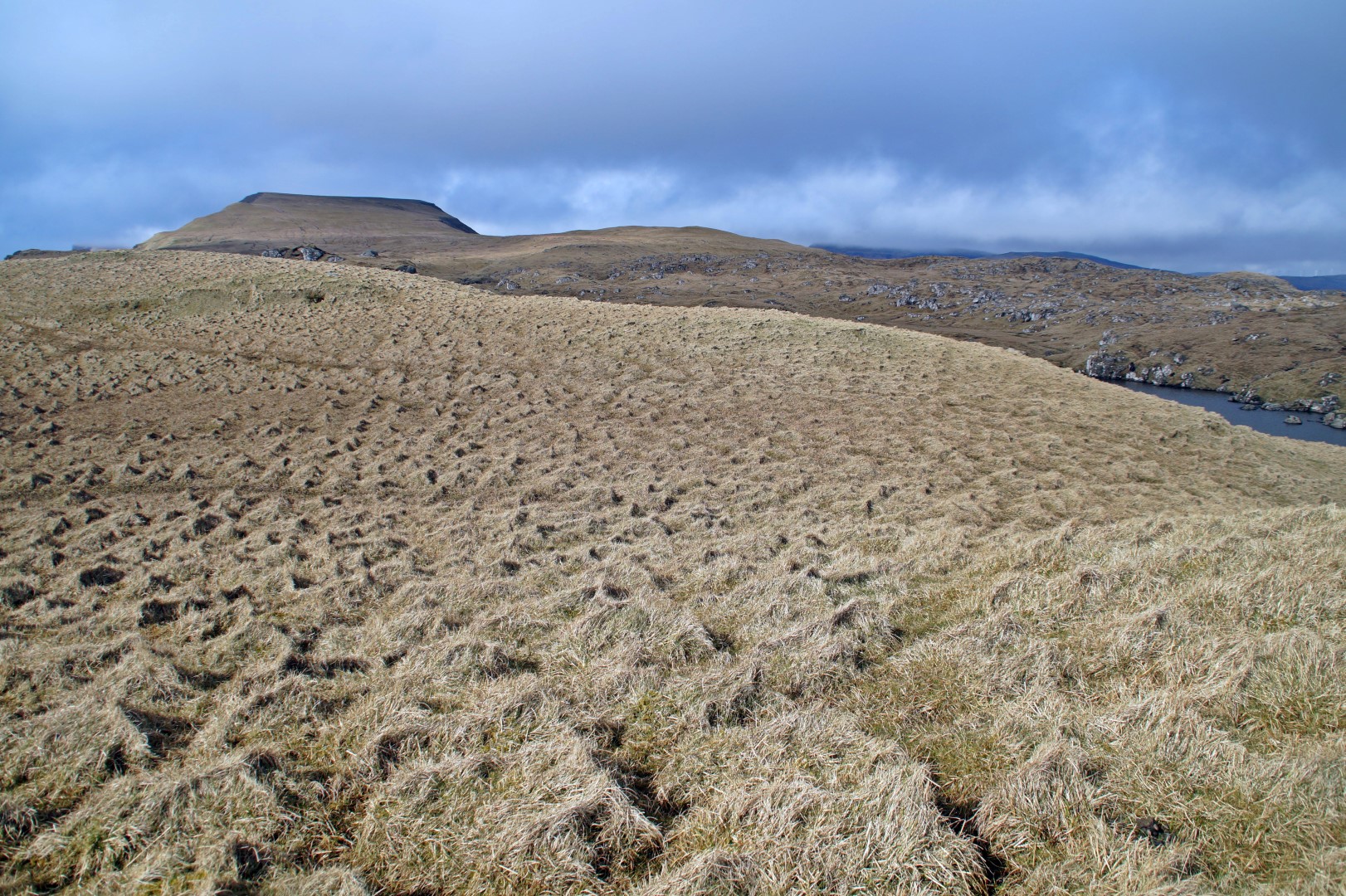
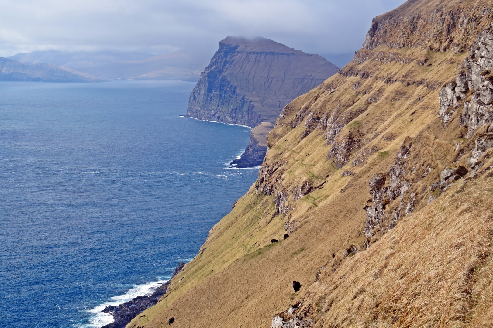
We started the hike at 10.30 AM and walked from the village over the Nakkur Mountain at 298 m and past a small lake to the tiniest lighthouse I’ve ever seen. The lighthouse is located at Hælur, on the southernmost tip of the island. It was quite hard to find at first, as we only had a terrible map to go by, but Poul ended up finding it!
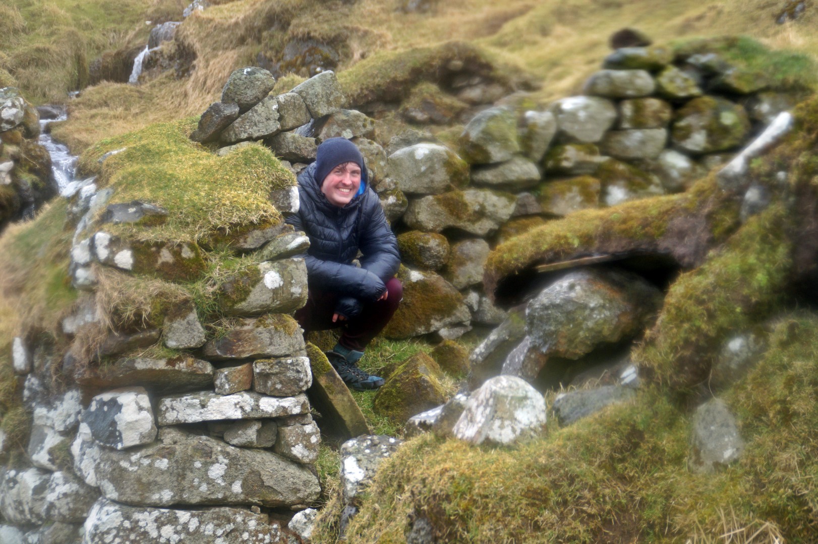
Afterwards, we walked over to the abandoned village, located just a few hundred metres to the north of the lighthouse, also at Hælur.
The village is an old settlement from the Viking Age. It lies on the sun-ward side of Hestur, where the cereal could ripen better than anywhere else on the island. But due to extreme difficulties in landing boats and fishing there, the village was abandoned many hundreds of years ago, and later on, the current village was established on the other side of the island.
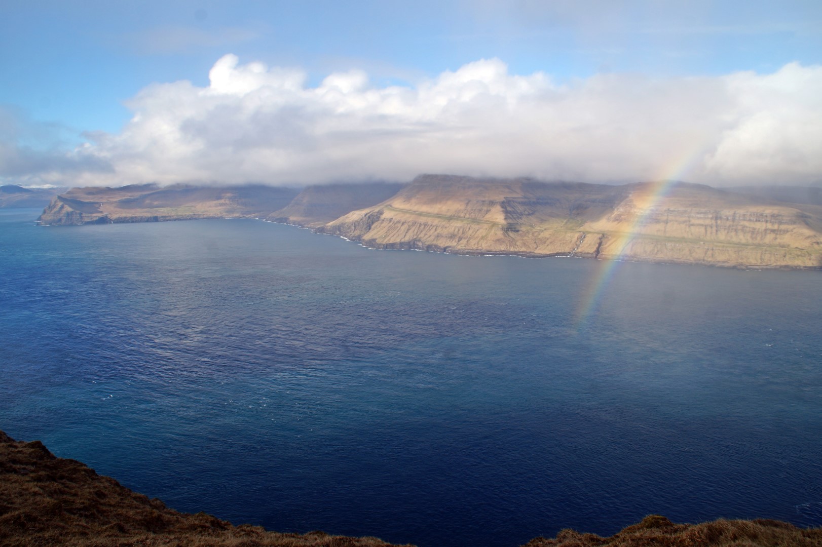
When we were exploring the village, the blue sky suddenly turned grey and clouds spit out rain. Poul and I had just decided to continue the hike, while Katrine and Ata decided to head home, so we really hoped it would clear up.
We stayed in the village for a while, waiting for the weather to change for the better, and miraculously, it did just a few moments later! The worst parts of the rain seemed to go around Hestur and thus, it didn’t hit us too badly. The Faroe Islands truly is the Land of Maybe! You really never know with the weather, but thankfully it was with us for most of the day on Hestur!
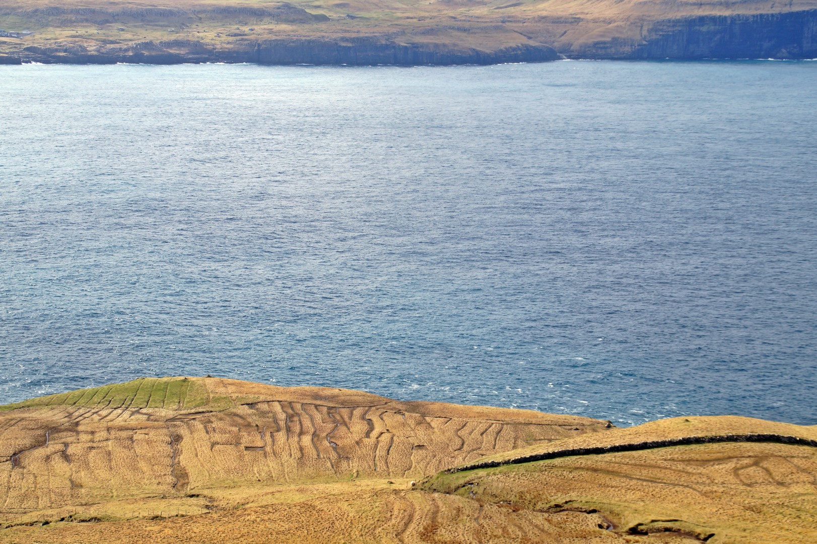


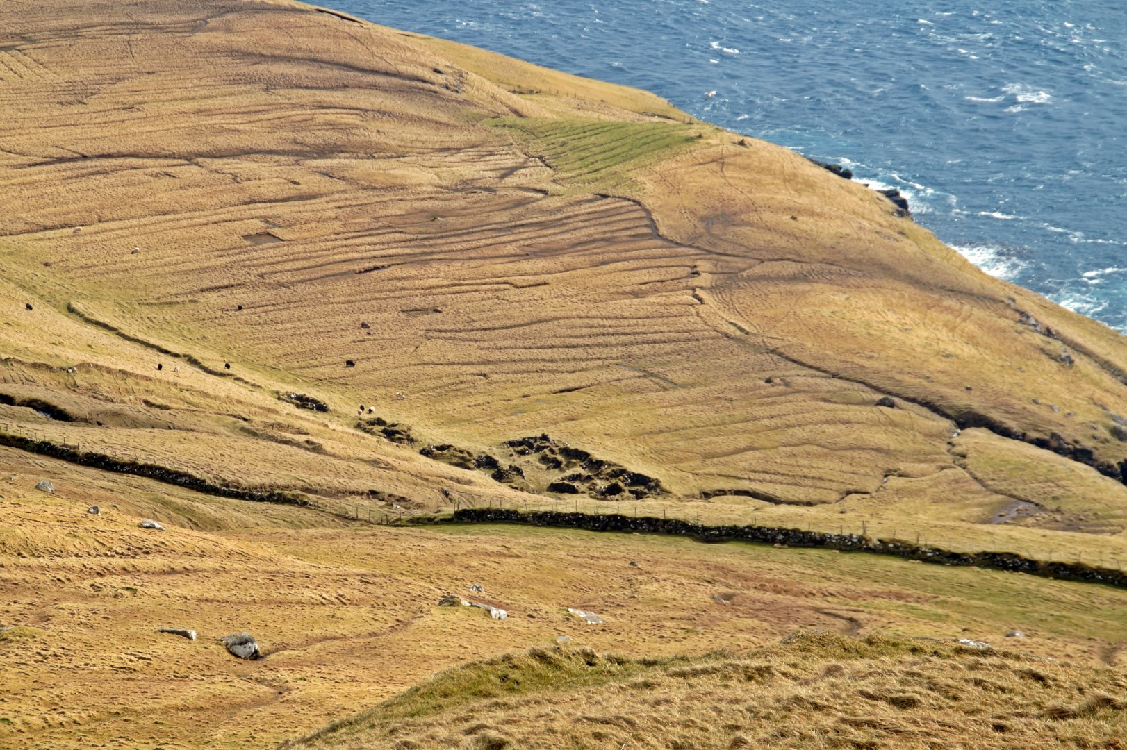
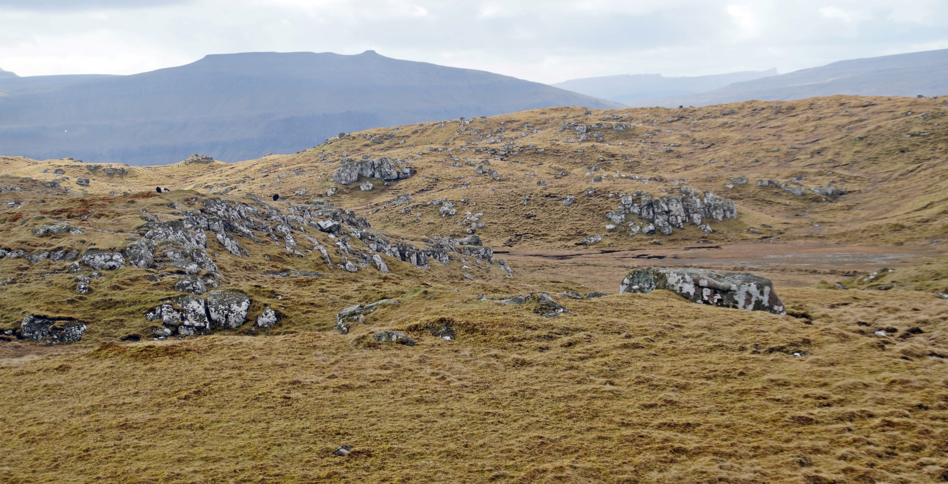
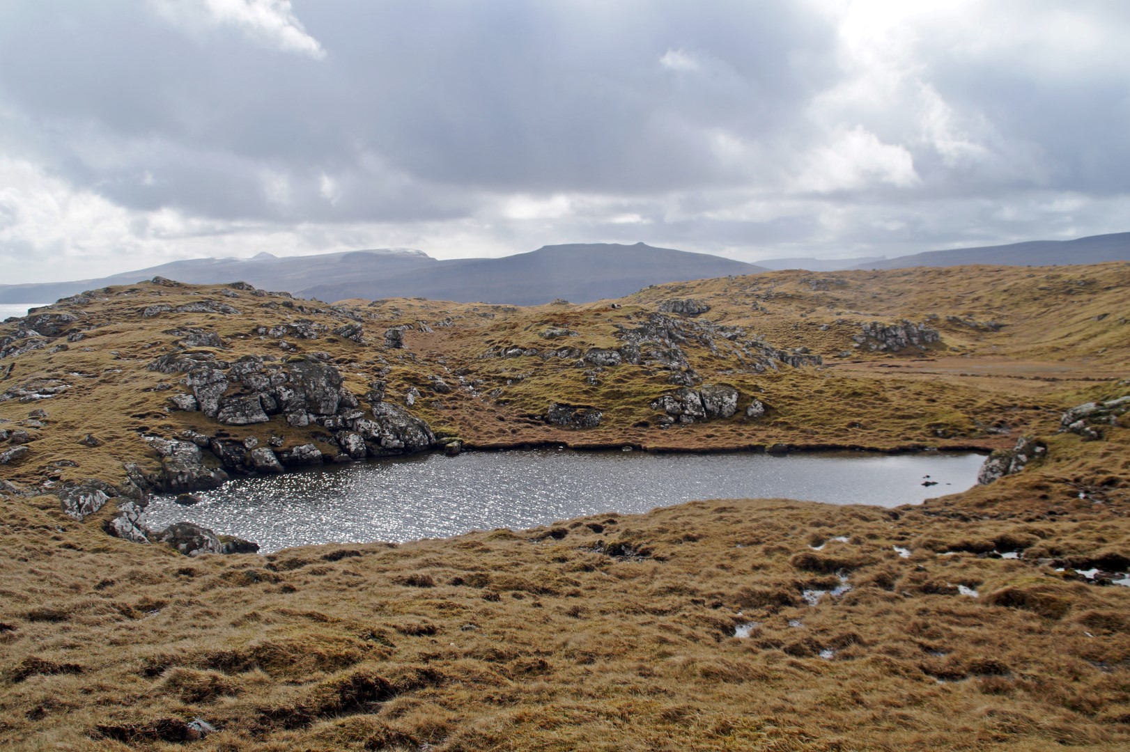
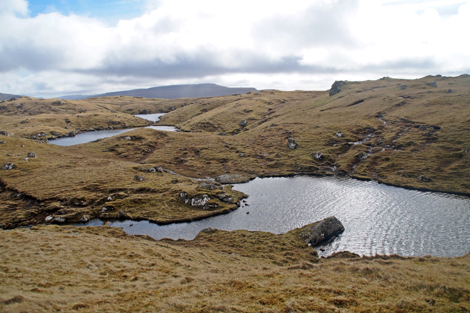
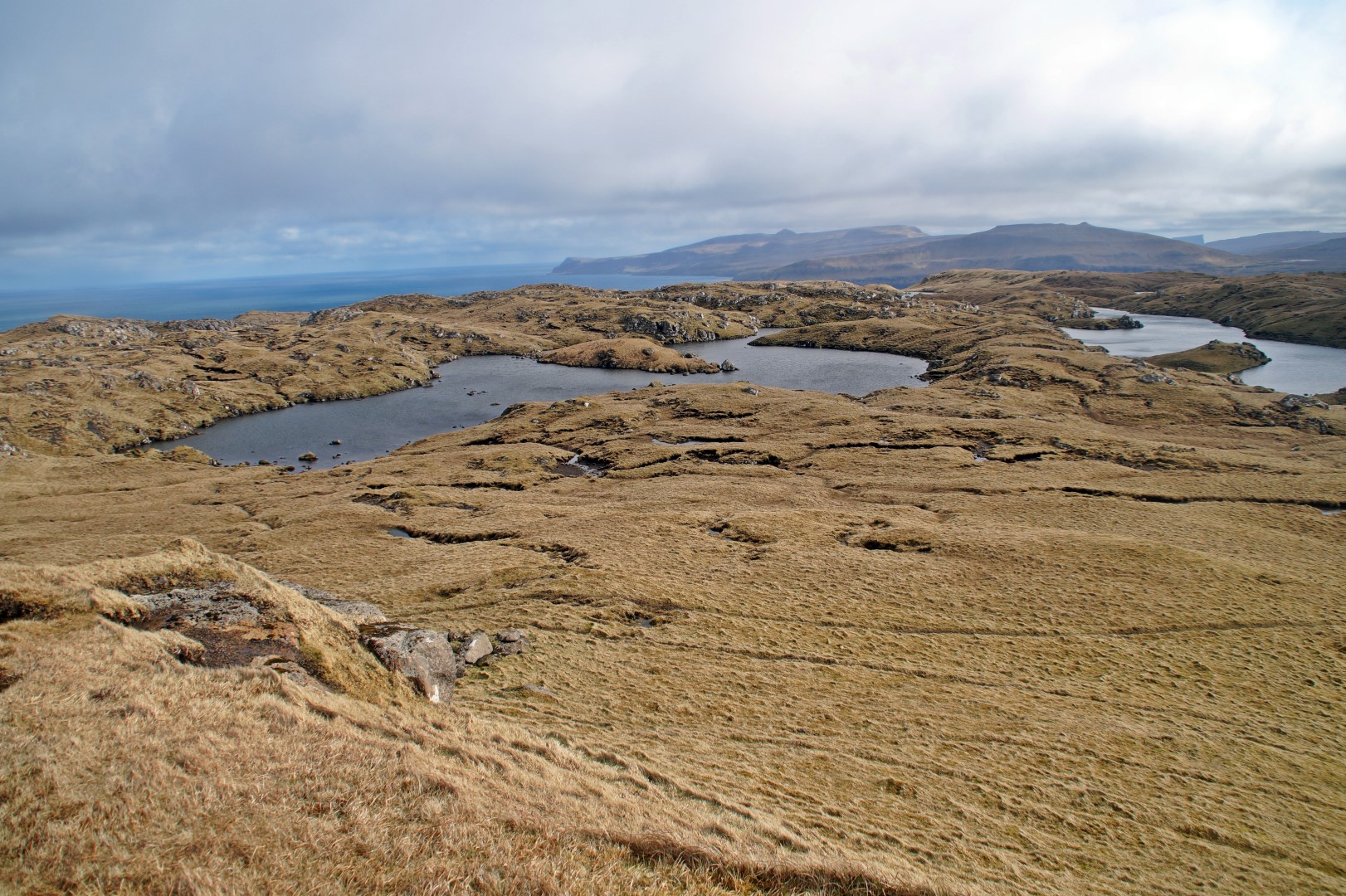
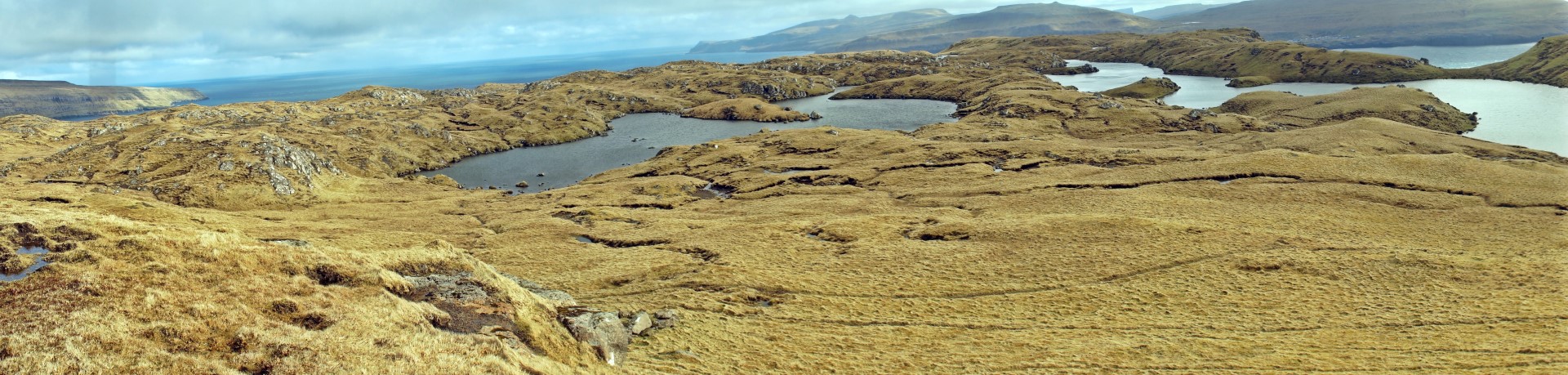
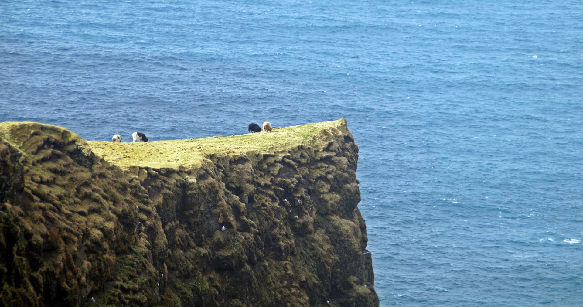
Poul and I wanted to climb all 4 mountain tops on the island, so we backtracked a bit and climbed up the Navirnar Mountain at 211 m first. Soon after, we came past a moorland with four lakes, the biggest one being Fagradalsvatn. Hestur was already starting to surprise me with its outstanding beauty that I for some reason hadn’t expected to find there.
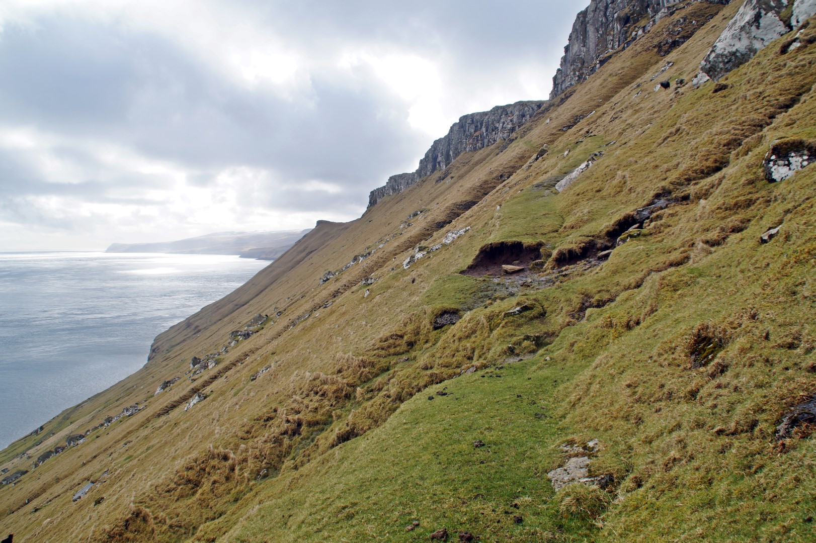
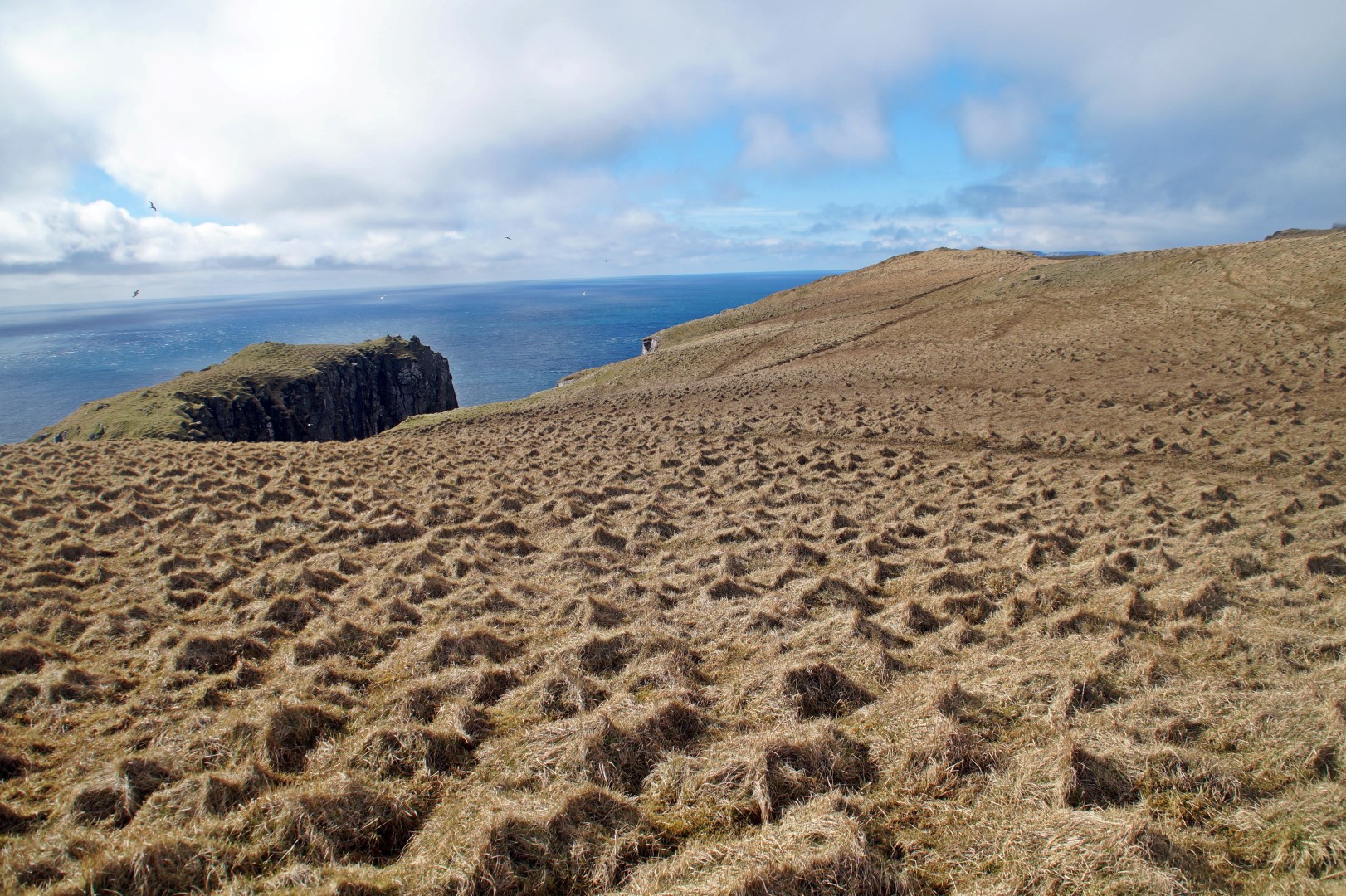
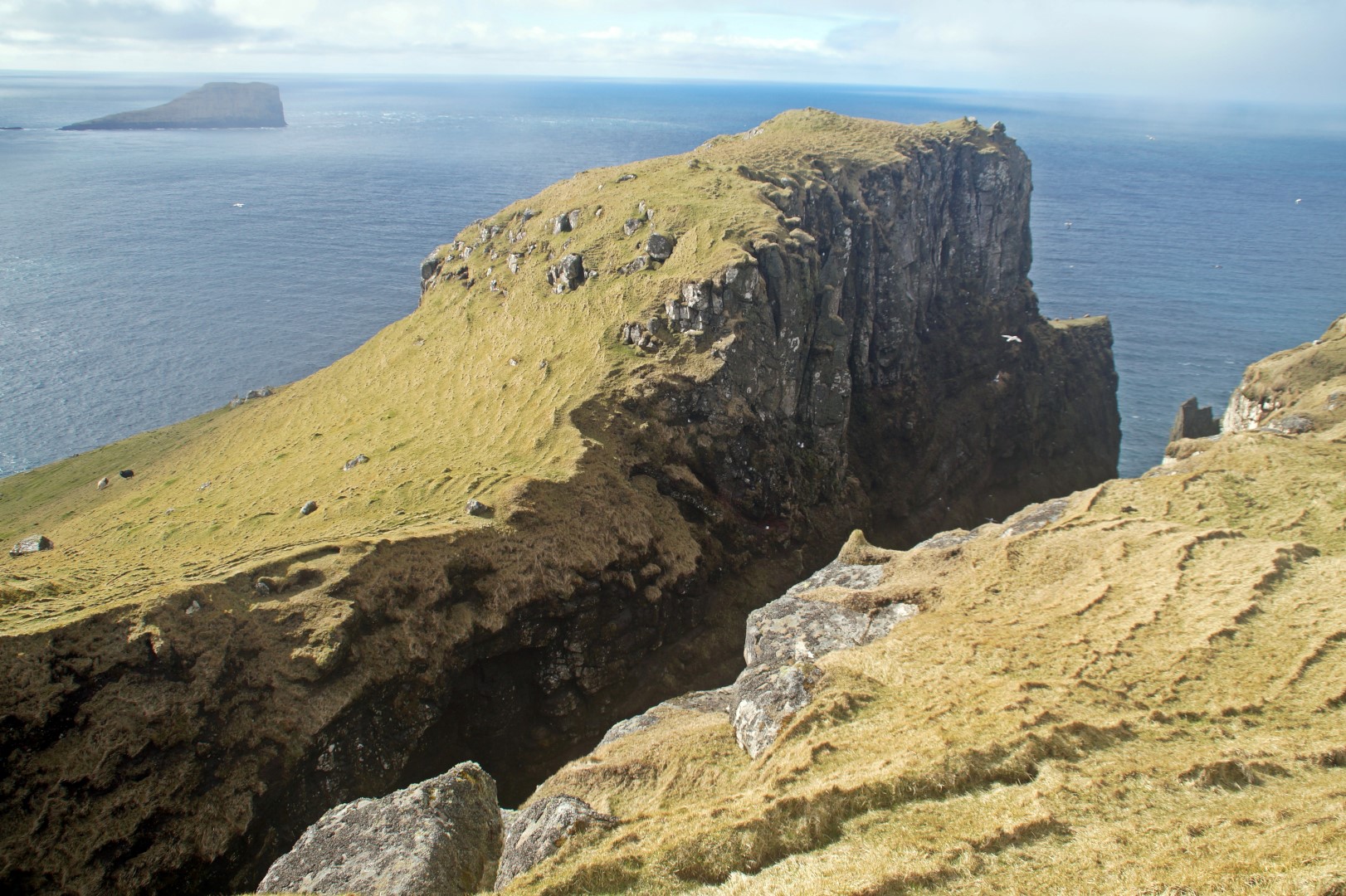
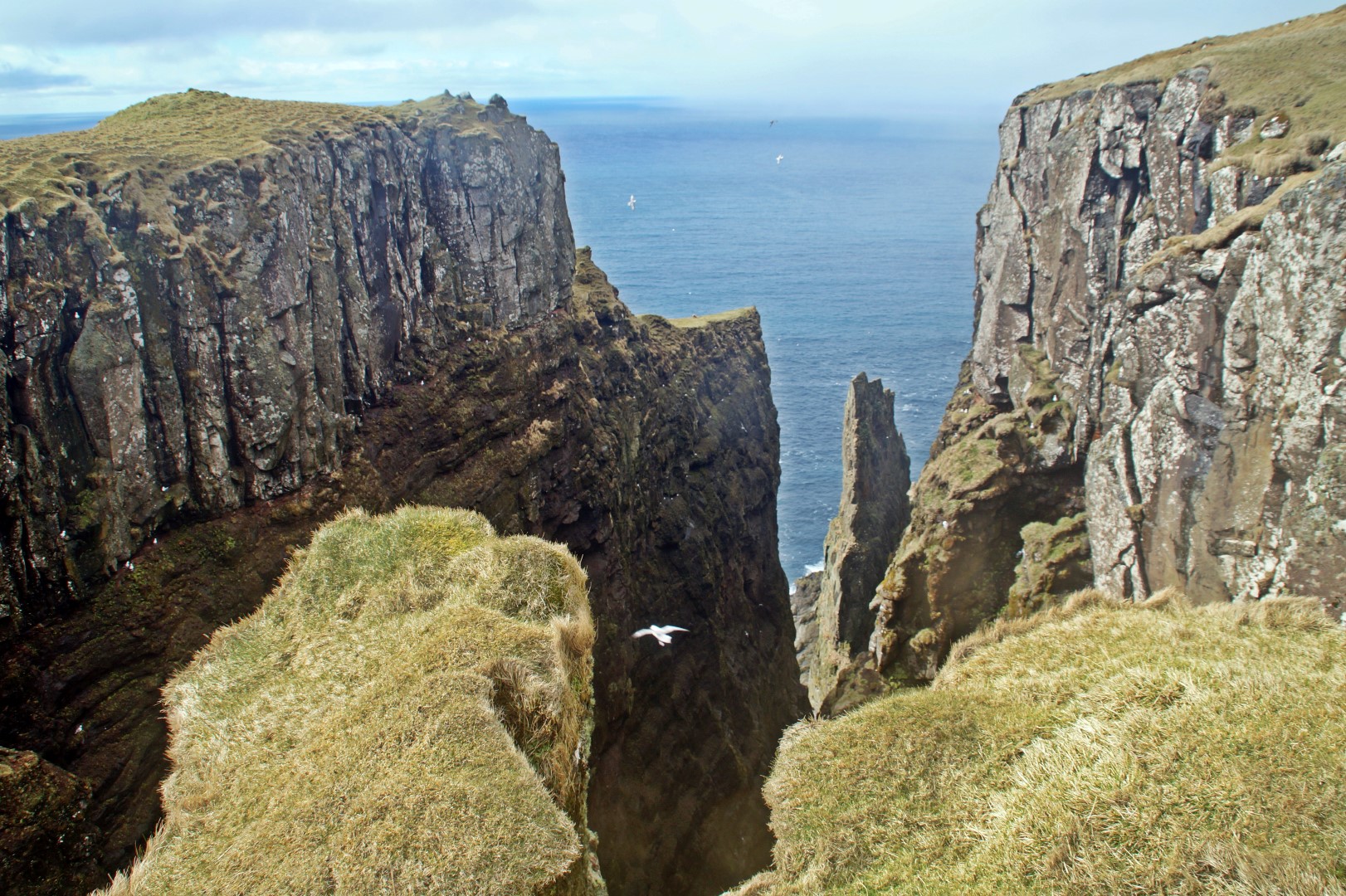
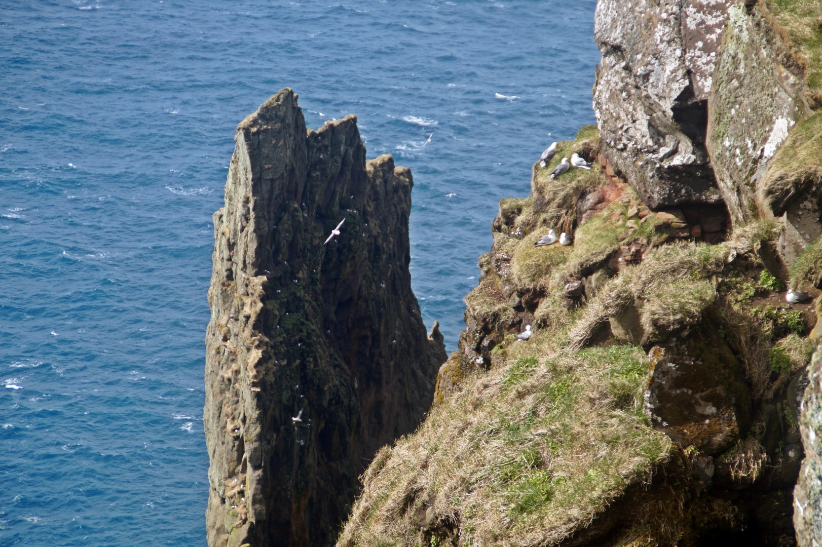
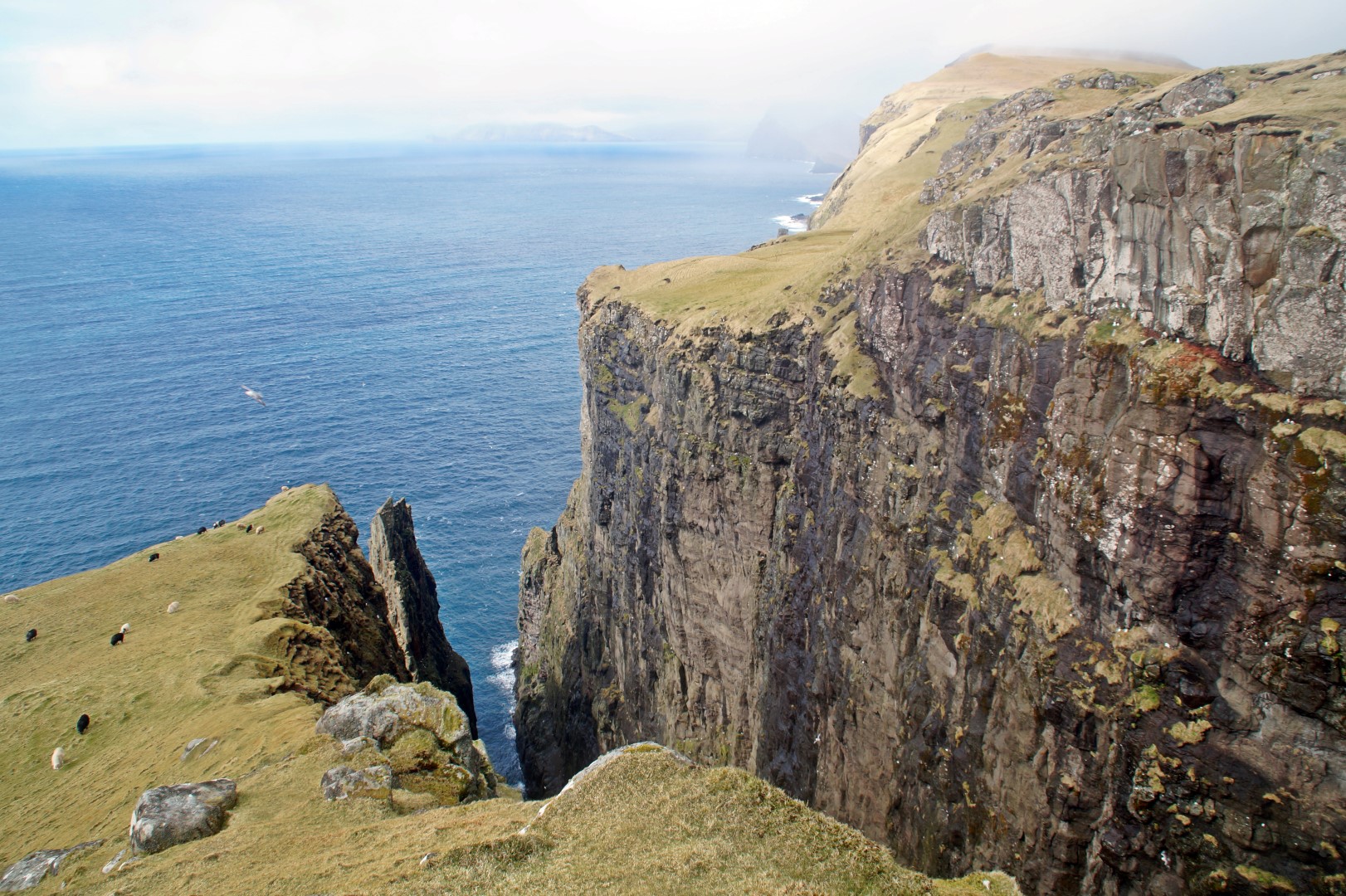
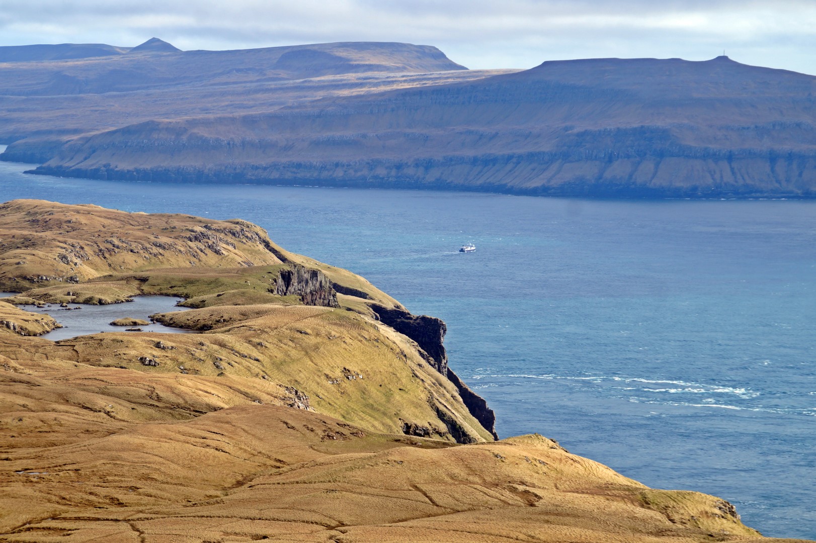
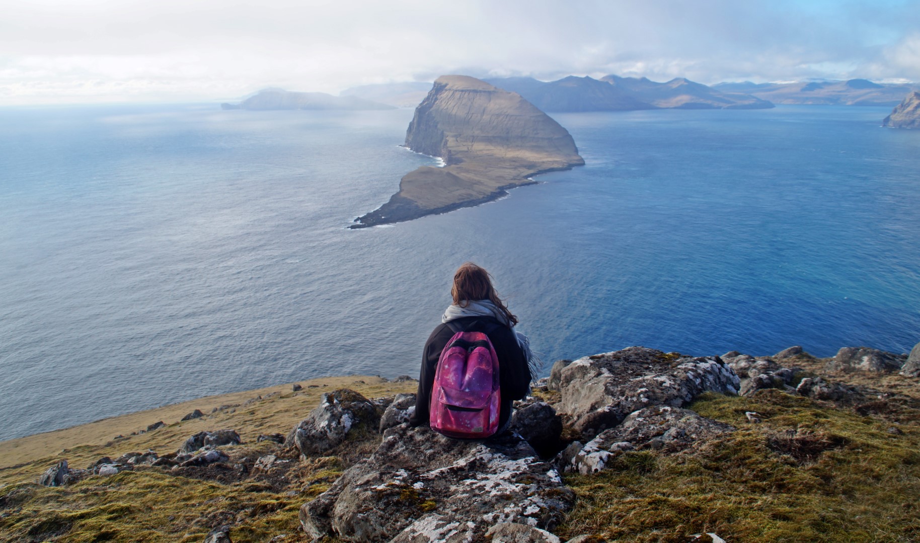
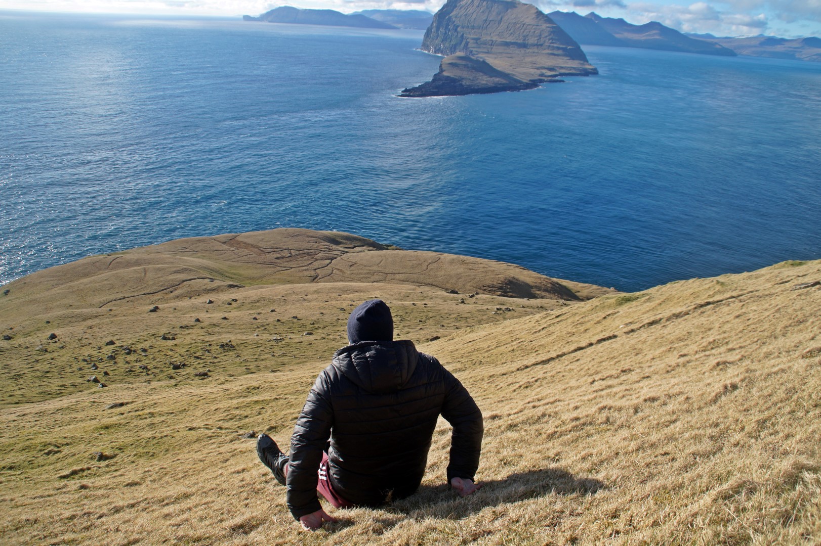
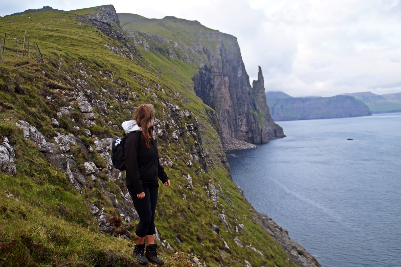
To the west of the four lakes is one of my new favourite places in the Faroe Islands, the bird cliffs of Álvastakkur that fall vertically into the ocean!
The view was absolutely breathtaking and there were Arctic fulmars flying about everywhere! The cliffs were steep, so we didn’t walk too close to the edge, but just enough to get this brilliant view of the entire place.
I was so impressed with Hestur already that I simply didn’t think it could get any better!
The weather was still great, so we decided to continue the hike despite being hungry (we hadn’t eaten since breakfast at 8 AM) and extremely exhausted. We figured that since we were up there, we might as well just see everything!
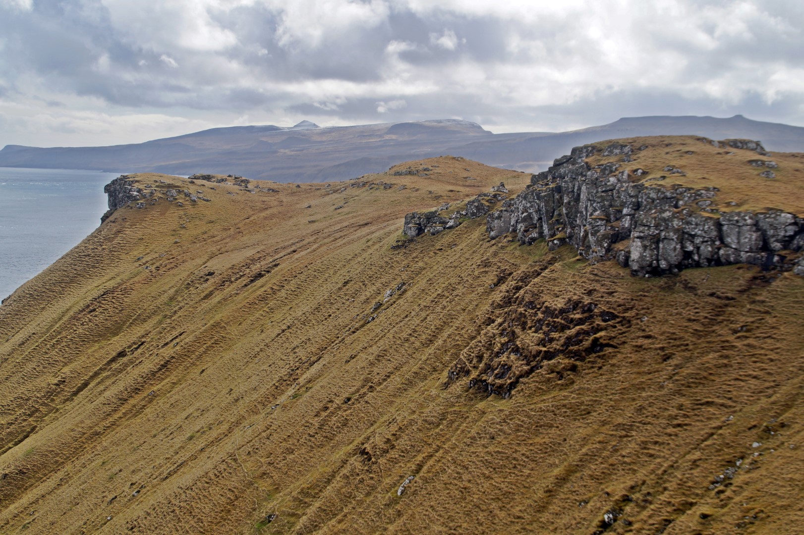
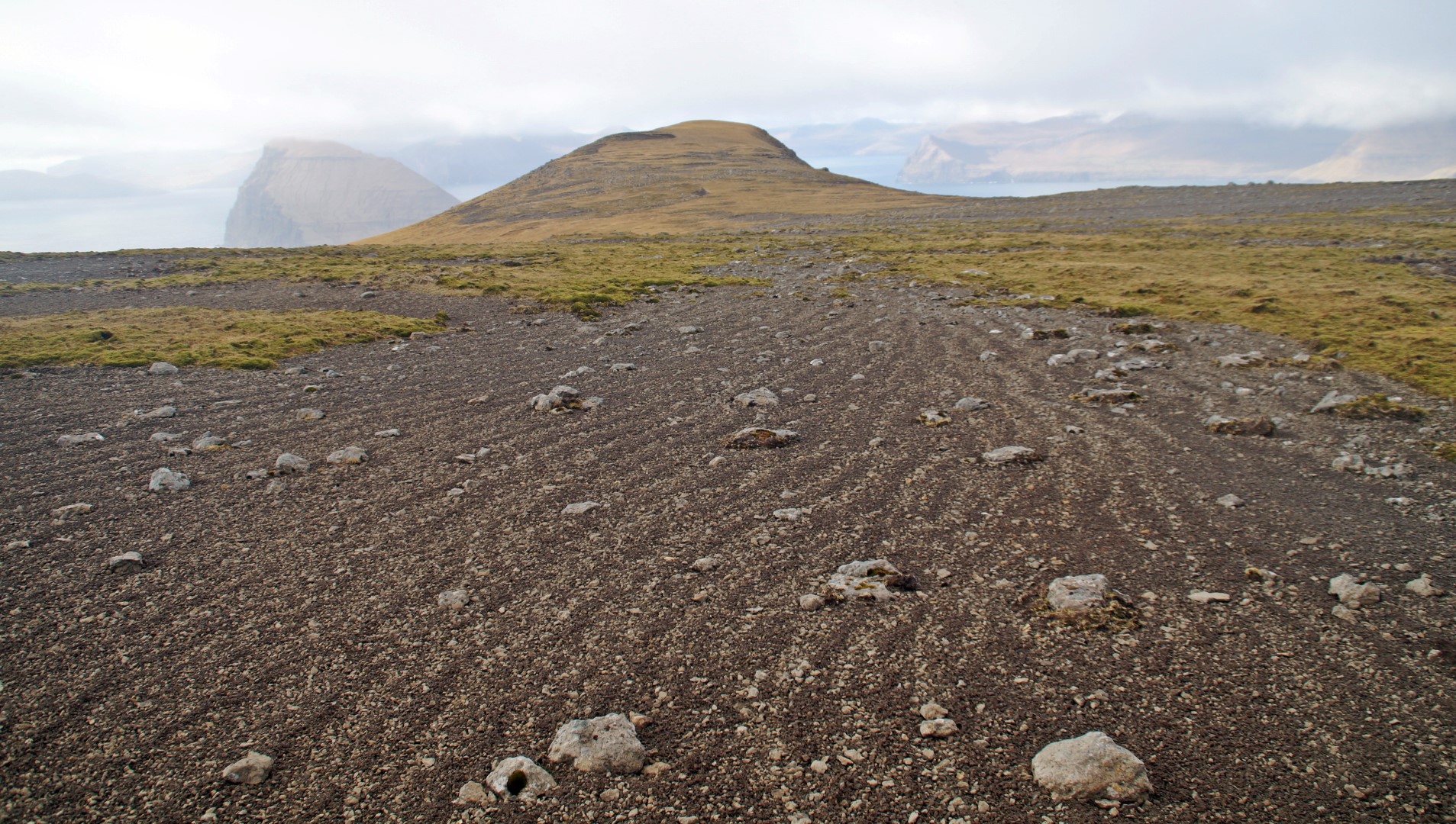
We then climbed the Eggjarok Mountain at 421 m and afterwards, we started the ascend for the Múlin Mountain, also at 421 m, which is the last mountain in a row of four on the island, located on the very north part.
In between the two mountains, we saw the village of Hestur down below. We were so close to it, but despite being overly tired, we weren’t ready to head home just yet. We just had to experience the northern part of Hestur first!

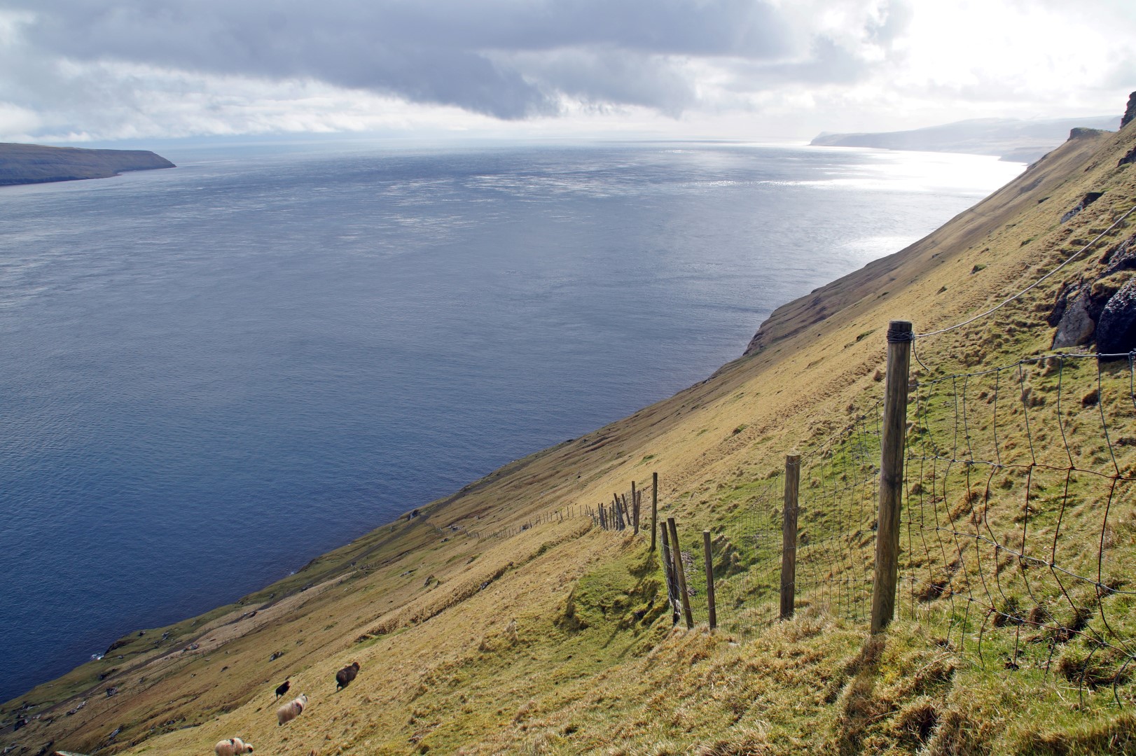
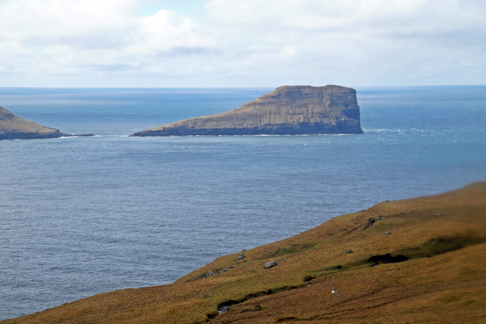
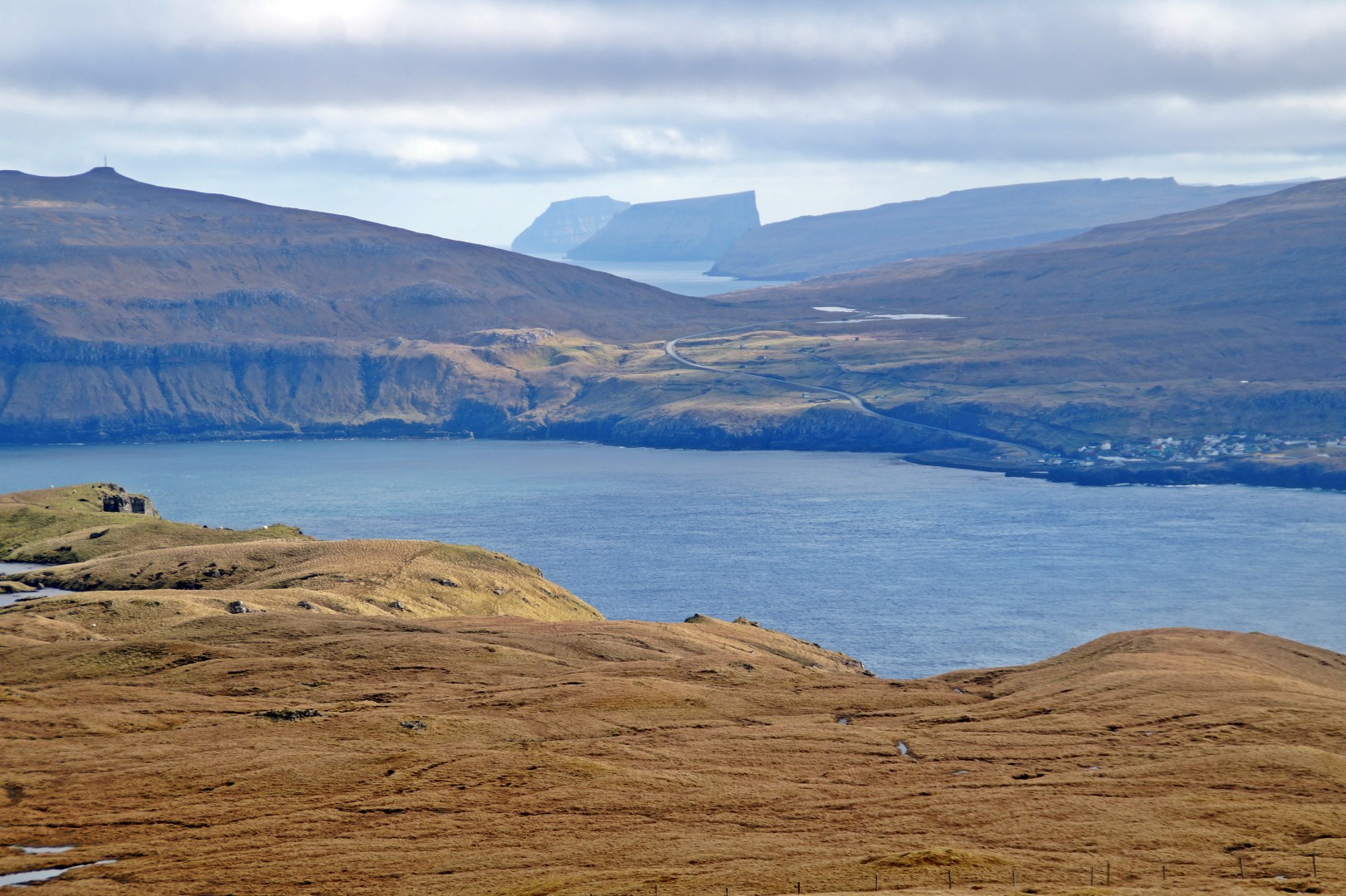
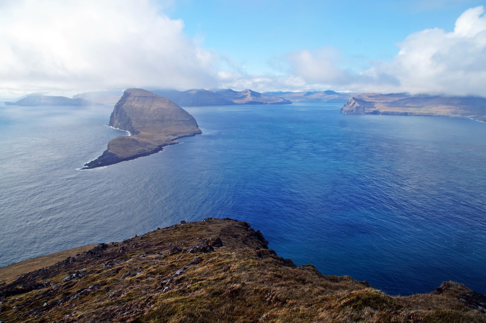
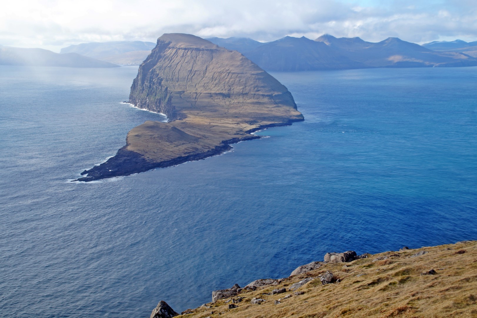
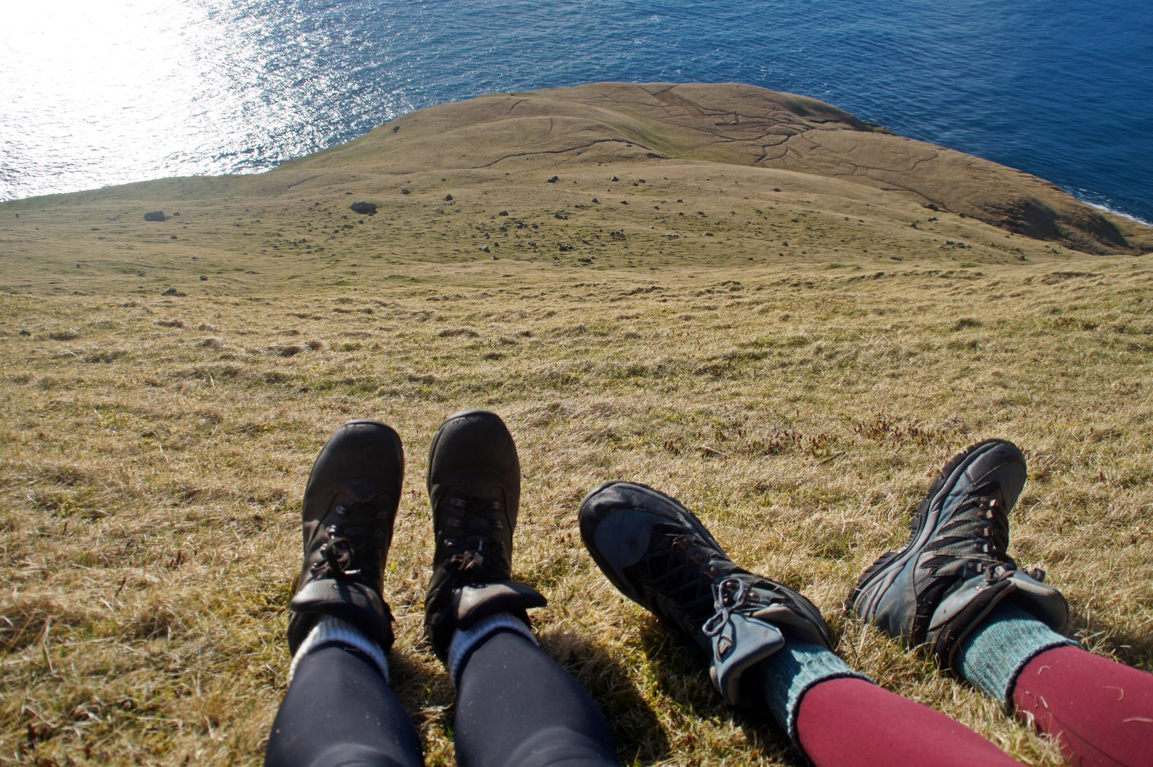
The views from the top of the mountains were so breathtaking that even the pictures can’t capture it properly – it simply has to be seen. We could see all of Hestur with its many lakes, and 9 other islands in the near and far distance; Sandoy, Skúvoy, Stóra Dímun, Lítla Dímun and Suduroy to the south; Streymoy and Eysturoy to the east; and Koltur and Vágar to the north. Especially the magnificent shape of Koltur keeps impressing me. From wherever you see it, it’s as if it changes shape. It’s the weirdest shaped island I’ve ever seen, and I love it!
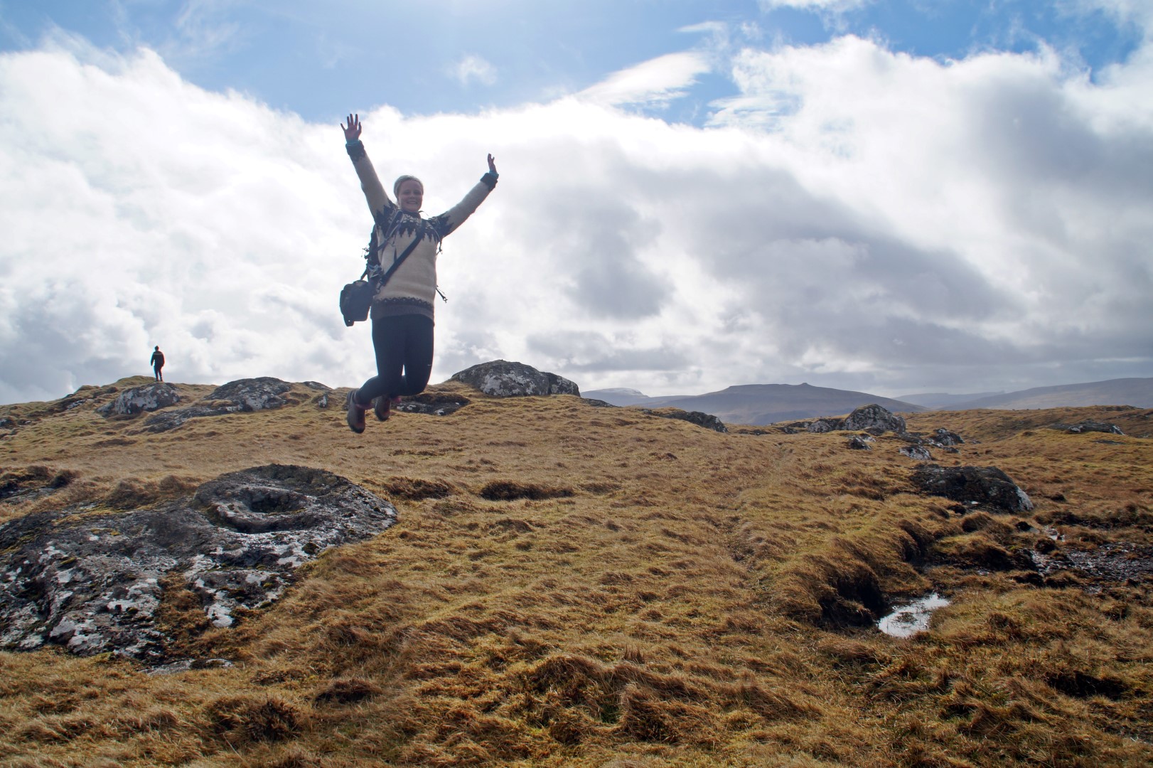
We were now finally at the very top of the island after 7 hours of hiking, first over a mountain to the south tip of the island with the lighthouse, then to the abandoned village, then up another mountain to the moorland and the spectacular bird cliffs, and finally up the two highest mountains and out to the northernmost tip of the island – Múlin.


It was time to go back down and head back to the house, but that was way easier said than done. Poul estimated that it would take about 20 minutes, but boy was he wrong! The north side of Hestur is so extremely steep, that I just couldn’t walk down it – I had to slide. In the beginning, it was a pain, but then I found a technique and it suddenly became all fun and games! Poul decided to join me, so we slid down the mountain together all the way to the bottom, where we found a path that led us back to the village, which seemed so much further away than I had thought.
Finally, 1,5 hours later, we arrived back to the tiny village, went inside the house and collapsed on the sofa.
I’ve never been more exhausted after a hike before, probably mainly because we hadn’t eaten for 11,5 hours! Our dinner that night went down quickly, that’s for sure!
After the loooooong day of hiking around and through Hestur, it has become my favourite island because of its varying geology and views to the other islands. It’s the best place to view the spectacularly shaped Koltur, it has four big lakes on top of its ridge, it has a cute lighthouse, it has a tiny little village and it’s full of history with its abandoned Viking Age village and many folklores. I already can’t wait to return to the island someday!
There’s still more to see on Hestur despite us going almost everywhere! Next time I visit, I want to go to Brattaberg, from where you can see the entire dramatic west side of the island, and another place on the west side where you can see all the way down to the bottom!
Tour the caves of Hestur
Hestur is full of caves which are unfortunately impossible to reach without a boat, but this tour has you covered! It’s something I’ve wanted to do for a long time, but I haven’t found time for it yet, so please do tell me how it was if you decide to go!
Leave a Comment
Pingback: My 17 favourite new destinations of 2017 – Northtrotter on 18/06/2017

7 COMMENTS
Liz L'Etoile
2 months agoWhat a wonderful post! We love the Faroes and absolutely recommend the boat tour of Hester. Thank you for sharing.
Mel
2 months ago AUTHORThank you! I’d love to take that boat trip one day!
Marco
6 years agoLovely pictures, Melissa. A must see for me now. Thanks.
Melissa Cherry
6 years agoThanks so much Marco! I hope you’ll have an amazing time when you go there! 😀
Ann
7 years agoEvery time I look at this place through your breathtaking pictures I feel deeply in love with this place! I know how you feel about this place, it does need to be shown to people, Mel, and your posts give this unique chance, they can tease!
Melissa Cherry
7 years agoI’m glad you feel that way, dear Ann! The Faroes definitely needs to be recognized by more people!