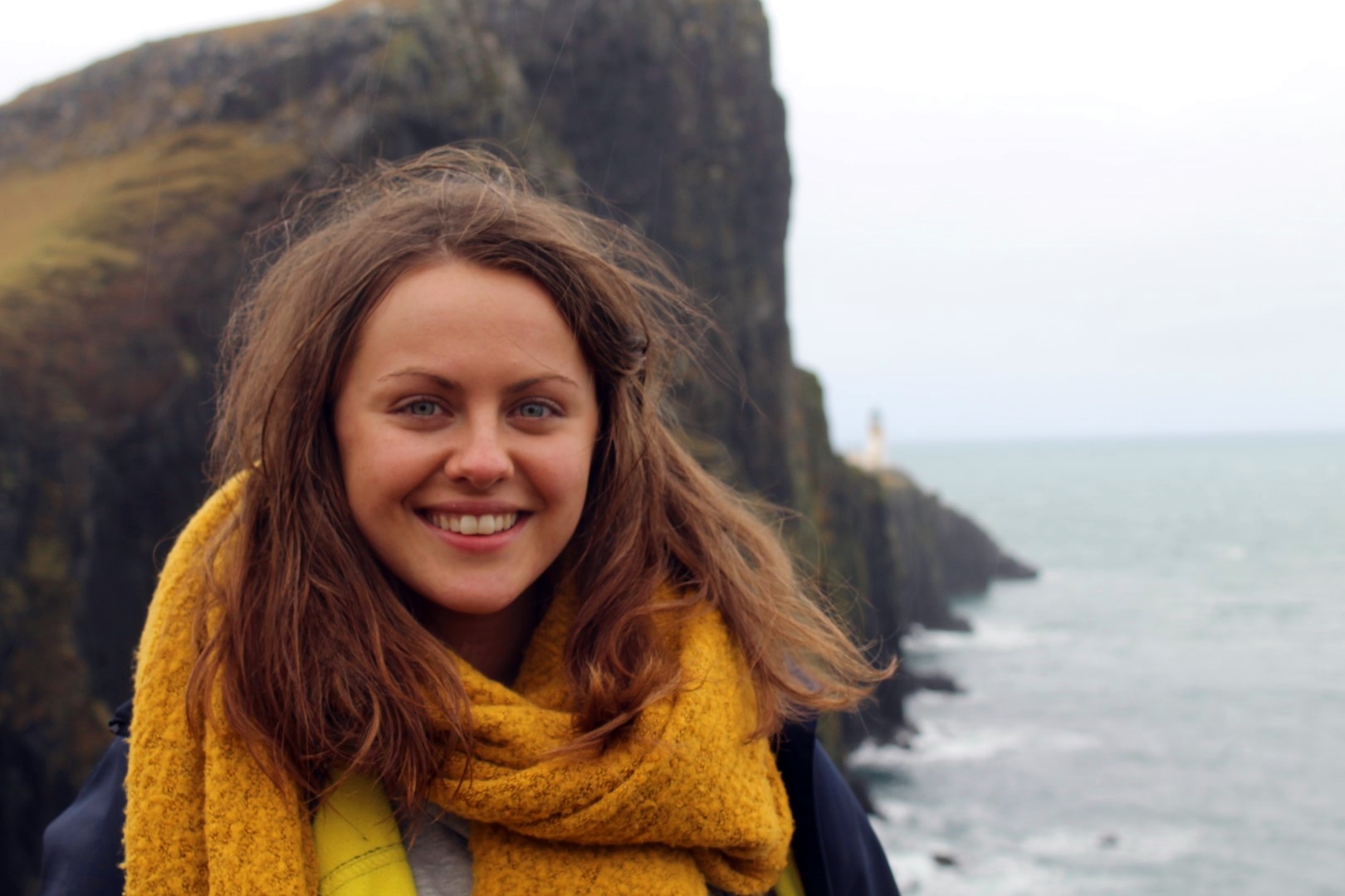
We woke up after a long and uncomfortable night in the front seats of our rental car. My younger brother Brandon and I had stayed at the port in Leverburgh on the Isle of Harris, waiting for a ferry to continue our roadtrip through the Outer Hebrides. We were heading to the Uists, a group of nine inhabited islands linked by causeways. These are Berneray, North Uist, Baleshare, Fraoch-Eilean, Grimsay, Benbecula, Flodaigh, South Uist and Eriskay, going north to south. Although the islands are often grouped into one, they are very different. For instance, North Uist and Berneray have a Protestant majority, South Uist and Eriskay have a Catholic majority, and Benbecula in the middle has a mix.
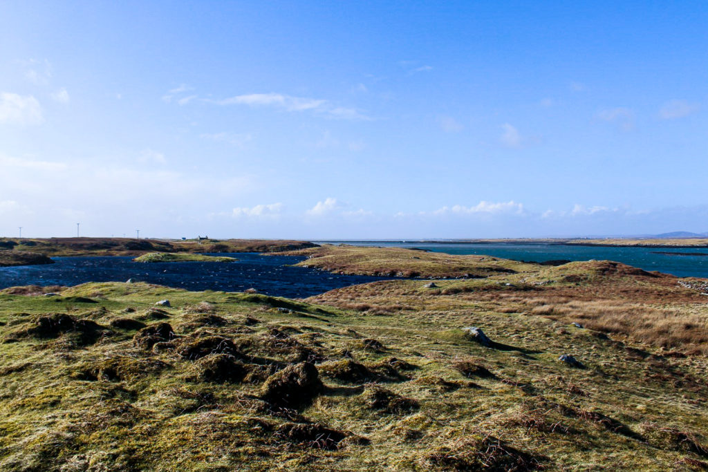
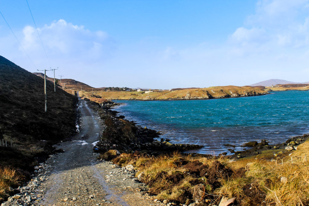
The island group is a remote part of Scotland that is rarely visited by tourists. Only few make it past Edinburgh, the Highlands and the Isle of Skye, and when they do reach the Outer Hebrides, the majority choose to visit the northerly island of Lewis and Harris – which, don’t get me wrong, is understandable considering the pure beauty and exciting history of the island – but the Uists don’t deserve to go unnoticed. I, for one, was incredibly surprised by how beautiful the island group truly is. The nature is wild and unparalleled, with vast sandy beaches in the north and barren mountains in the south, and a flat and rocky landscape dominated by sea lochs and freshwater lochs in between. It often felt as though we were driving through the ocean, with crashing waves on both sides of the road. Around 5,000 lucky people call these islands home. Gaelic is spoken widely and old traditions live on, so there is plenty to learn and experience on the Uists.
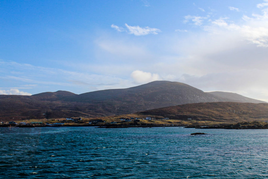
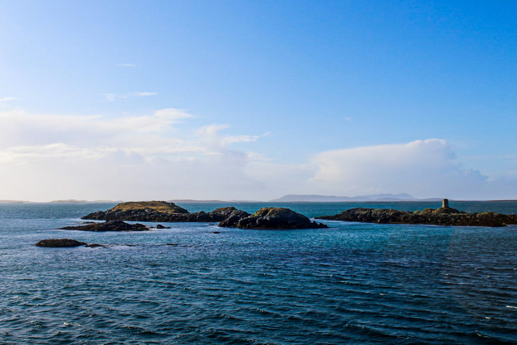
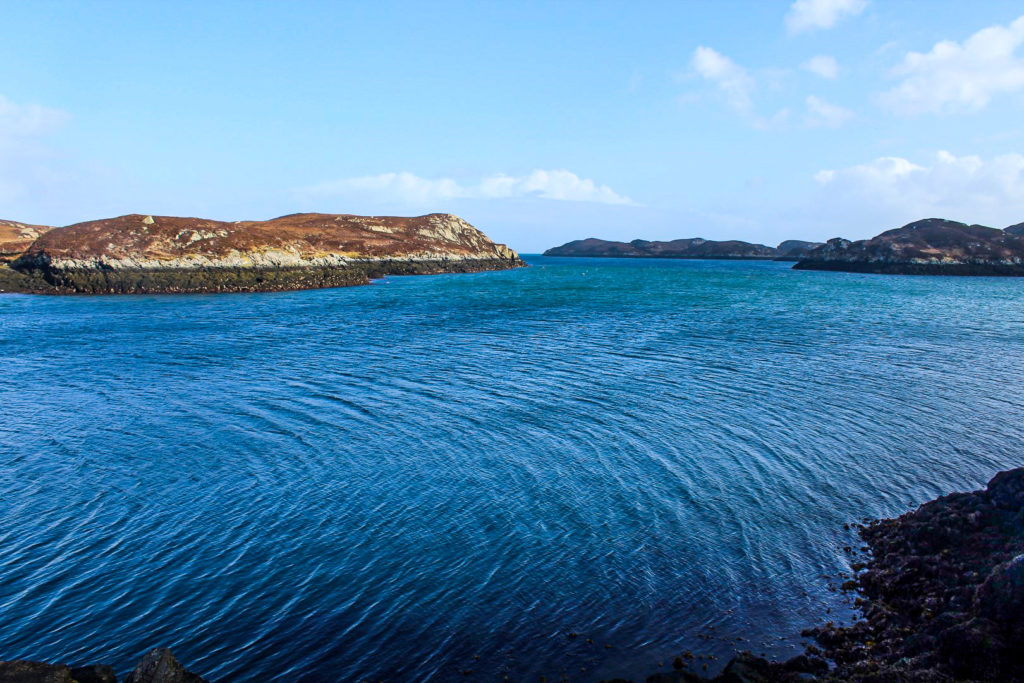
At 09.30 AM, the ferry arrived and we drove the car on board and then found ourselves some seats, which we’d only use when it got too cold to stand outside. The views as we sailed away from the mountainous Harris were breathtaking, and soon we reached some of the skerries and islets that also make up part of the Uists. We arrived after an hour on the ocean to Berneray, the northernmost island of the Uists.
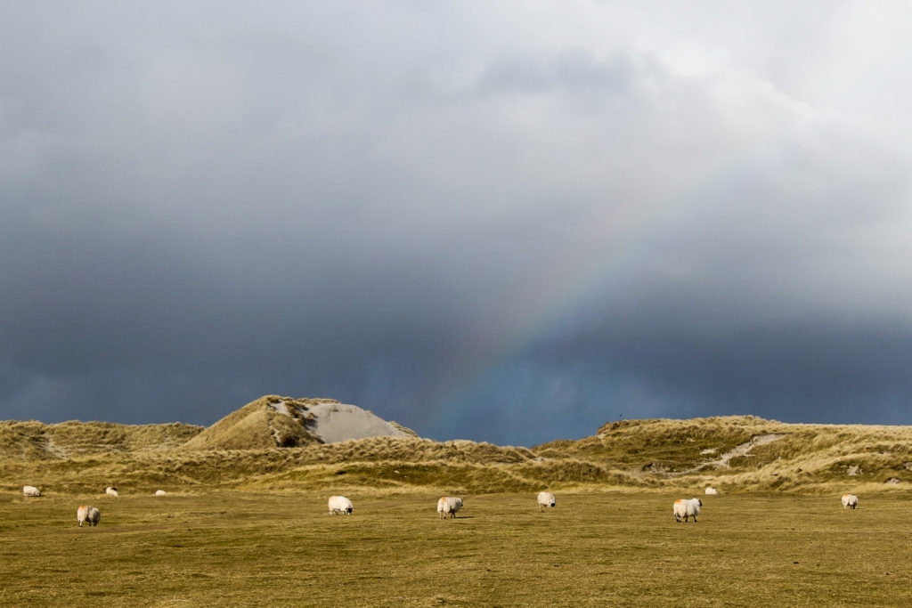
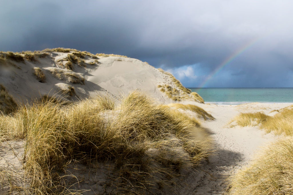
Tràigh Lar, the most beautiful beach in Scotland?
We had done little research and didn’t know what to expect, especially since none of us had ever met anyone who had been to the Uists. But sometimes, travelling without a plan is the best way to discover a new place. For Berneray, it certainly was!
We picked out a beach on the map, hoping to find one that could match the enchanting beaches on Lewis and Harris. We didn’t – we found one that was MUCH more beautiful. Or at least we thought so.
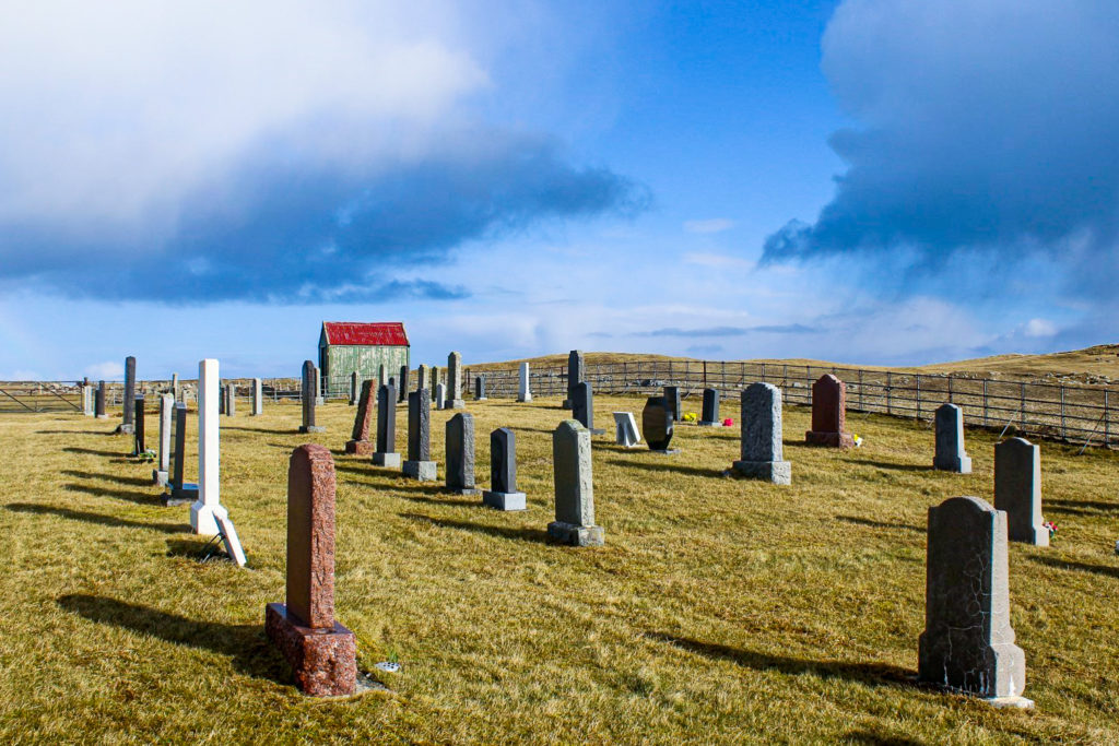
We parked the car near a graveyard and walked over a meadow with grazing cows and entered the beach through low dunes that reminded me of Denmark’s West Coast. The sight that met us was nothing short of spectacular. The beach, which in Gaelic is called Tràigh Lar but is often referred to as the West Beach, stretches along the entire west coast of Berneray. The sand is the purest white and the ocean is turquoise. It’s hard to believe that it’s even Scotland – and apparently, the tourism board in Thailand thinks so too as they once used a picture of this very beach to promote a beach in Thailand! A world of difference, especially in temperature, but I can’t argue with them that it looks like somewhere out of a tropical country!
The sun was shining beautifully, so despite the cold March temperatures, we laid on the beach for a while until a sudden raincloud forced us to get a move on, reminding us that we were in fact in Scotland and not in Thailand.


Lunch in the village of Lochmaddy
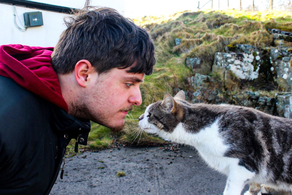
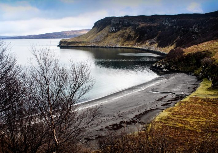
Leaving the rain behind us, we continued to the village of Lochmaddy, the administrative centre of North Uist, although it doesn’t (at all) look like a centre of anything. Lochmaddy is a gorgeous (very) small town, nestled amongst sea lochs and skerries.
We went for a short walk along the rocky shores of the village and made friends with a local cat before settling for lunch at the Lochmaddy Hotel. They offered burgers, fries and onion rings, and even a vegan version for me!

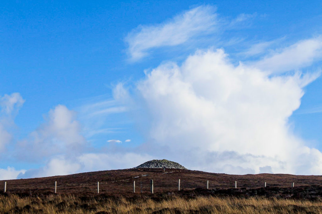
Barpa Langass, a Neolithic burial chamber
The little research I’d done prior to our trip mainly involved archaeological sites, and one of these was Barpa Langass, a Neolithic chambered cairn set in the middle of North Uist’s flatlands. The chamber was built around 5,000 years ago and used for burials. Burnt bones, pottery sherds and a few flint tools were discovered during the excavation of the chamber.
Unfortunately, the entrance was closed off due to a recent collapse of the stones, but it was well worth a look around anyway. I’ve seen a lot of Neolithic sites in Scotland, but nothing quite like this one.

A perfect view over North Uist
The sun was still shining with just a few rain showers interrupting in between; typical Hebridean weather. Since the visibility was great, we decided to drive up to the St Kilda Viewpoint on the mountain of Cleitreabhal a Deas.
Although it is an “official” viewpoint for St Kilda, we couldn’t spot the remote archipelago, which is 45 miles off the coast of North Uist. We could only see out to the much nearer Haskeir Island. But the views over the lowlands of North Uist with the hills of South Uist in the distance were well worth the drive up there.


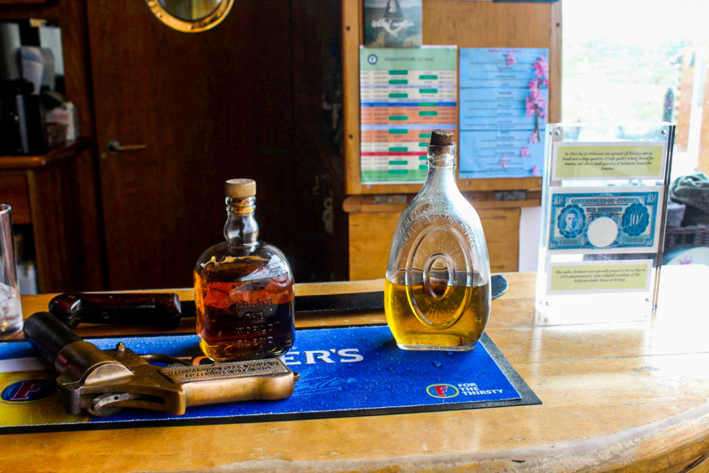
A history of whisky on the island of Eriskay
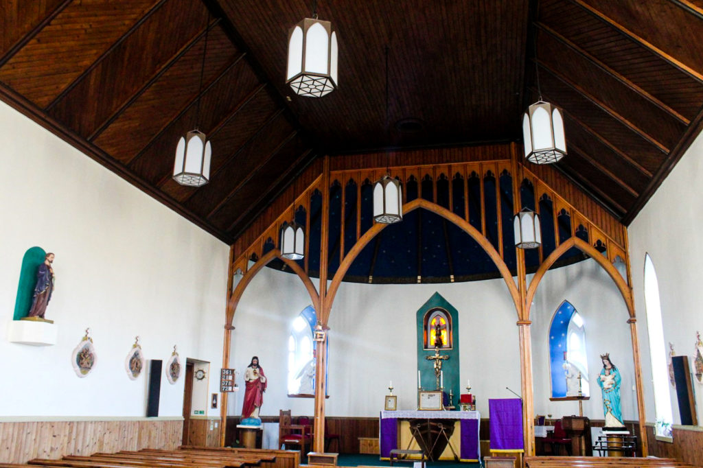
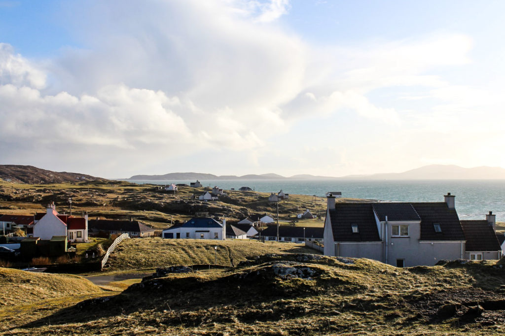
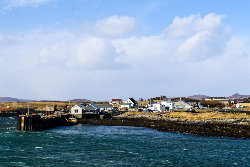
Our ferry connection to the neighbouring island of Barra was approaching, so we made our way down south through the islands of Benbecula and South Uist to Eriskay where the port is located. We had some time before our departure to explore the main village on Eriskay, which we discovered is a beautiful little gem, complete with a quaint Catholic church on top of a hill, overlooking the rugged island and the causeway connecting it to South Uist.
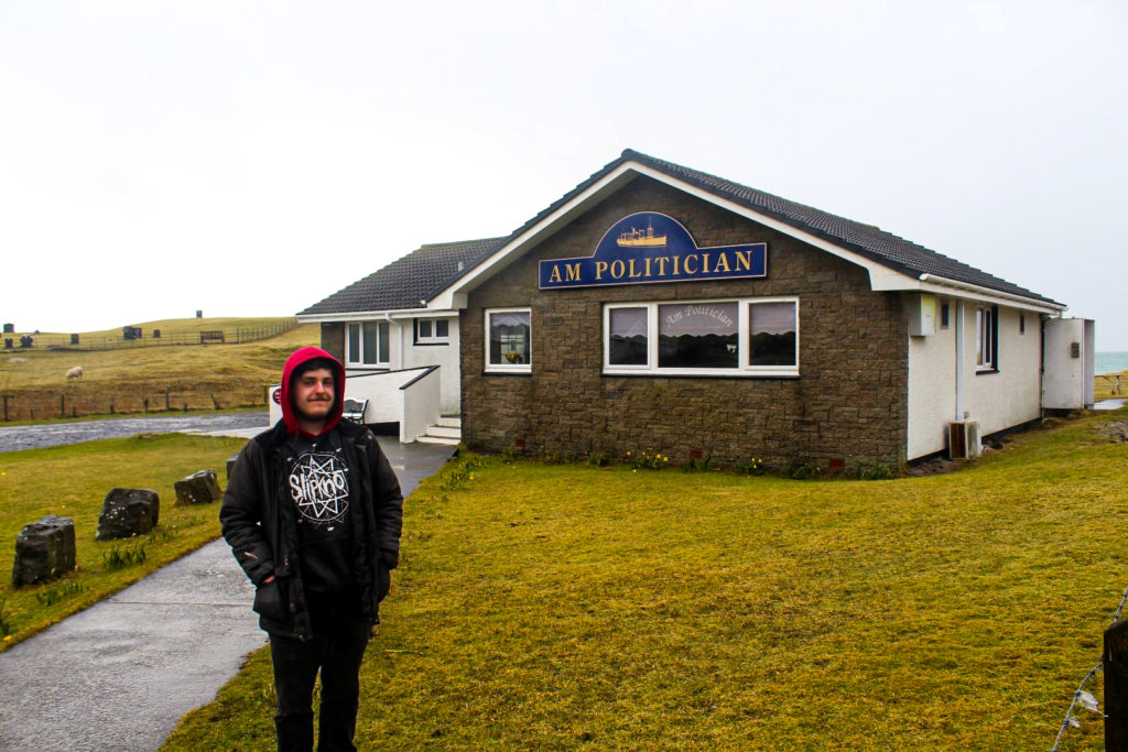
In the late afternoon the following day, we returned to Eriskay from our trip to Barra. At Brandon’s request, we stopped by the local pub, The Politician, named after the SS Politician, a cargo ship loaded with 22,000 cases of malt whisky and £3 million worth of Jamaican banknotes that ran aground off the coast of Eriskay in 1941. Much of the whisky was recovered by the islanders, but their joy was short-lived as they were soon prosecuted by the HM Customs and Excise as they hadn’t paid duty on the whisky.
We soon made friends with the bartender who showed us some bottles of whisky that were pulled from the ship, remarkably well-preserved. Then we settled for a wonderful dinner (the best food we had on the Outer Hebrides!) and played a few games of pool before calling it a night.
We weren’t feeling up for yet another night in the car, so we drove to the nearby Kilbride Hostel and got a private en-suite room with an enormous kitchen and living room all to ourselves, for just 20 pounds each. Oh, the joy of travelling in the off-season!


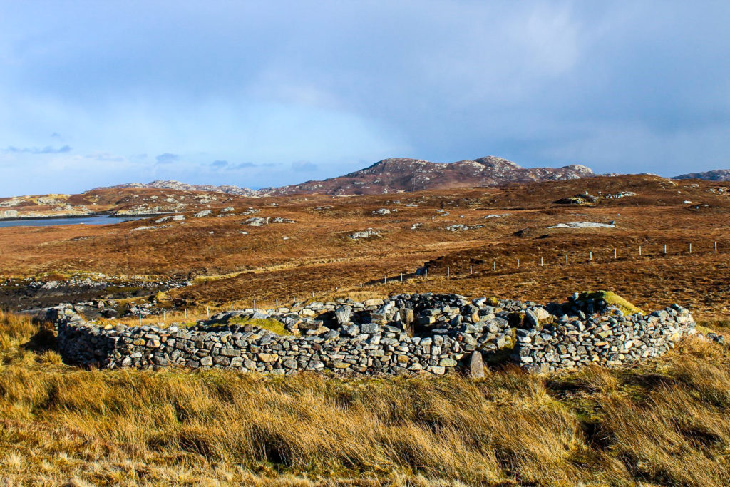
The tale of Britain’s only mummies
The next day, we had a full day of exploring on the Uists. We bought some breakfast in the local Coop and drove to Lochboisdale to eat it while looking out at the ocean from the small harbour. Lochboisdale is the largest town on South Uist, but definitely not the prettiest. So we were soon on our way again, this time to a very exciting place – Cladh Hallan, a site with remnants of ancient roundhouses where Britain’s only prehistoric mummies were discovered! The site dates back to around 2200 BC, although the roundhouses are from around 1250 BC.
A team of archaeologists discovered four skeletons on the site in 2001, but at first, they didn’t realize that they were actually dealing with mummies. The soft tissue had decomposed and the skeletons had been buried, so they looked like any other prehistoric burial. However, it was later revealed that one of the skeletons dated to ca. 1600 BC, and another dated to ca. 1300 BC, but they were buried sometime around 1120 BC! Shortly after death, the bodies were put in a peat bog for 6-18 months, seemingly in order to preserve them. They were then retrieved from the bog and placed in a house, which some archaeologists interpret as a ritual act. It’s unknown why they were buried centuries later. But it’s definitely an interesting discovery, beyond comparison.
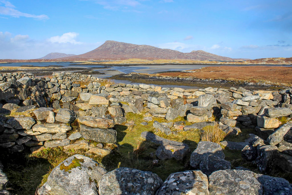
A 30+ km stretch of beach
Cladh Hallan is located below low dunes near a beach that forms part of a wide white shell beach that stretches over 30 km along the entire west coast of South Uist.
Although it’s not the prettiest beach on the Uists – nothing beats Berneray’s Tràigh Lar – it’s well worth seeing due to its majesty. I just wonder if anyone has ever hiked the entire length of the beach!


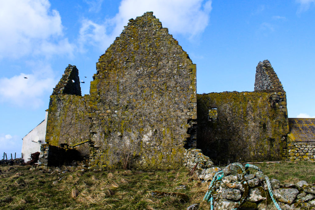
Ormacleit Castle… or not?
Further up north on South Uist, we reached the ruin of Ormacleit Castle, which my research had led us to. I can’t remember how I found this site – or why I chose to include it in our itinerary, because it’s just about the weirdest “castle” we’d ever seen. Attached to what looked like an abandoned farm, the ruin looked as though it’d never even tried to be a castle.
Apparently, the ruins are that of a mansion from the early 18th century, built by the chief of Clan Ranald. However, it was only used for a few years as the chief was killed at the Battle of Sheriffmuir in 1715, and the “castle” was burned down the same day. All of this is something I learned afterwards when reading about it online, as there were no information signs anywhere near the “castle”. And with the dilapidated state of the place amongst abandoned farms, you can probably imagine why we were so confused!

Past a loch and horses to the ocean
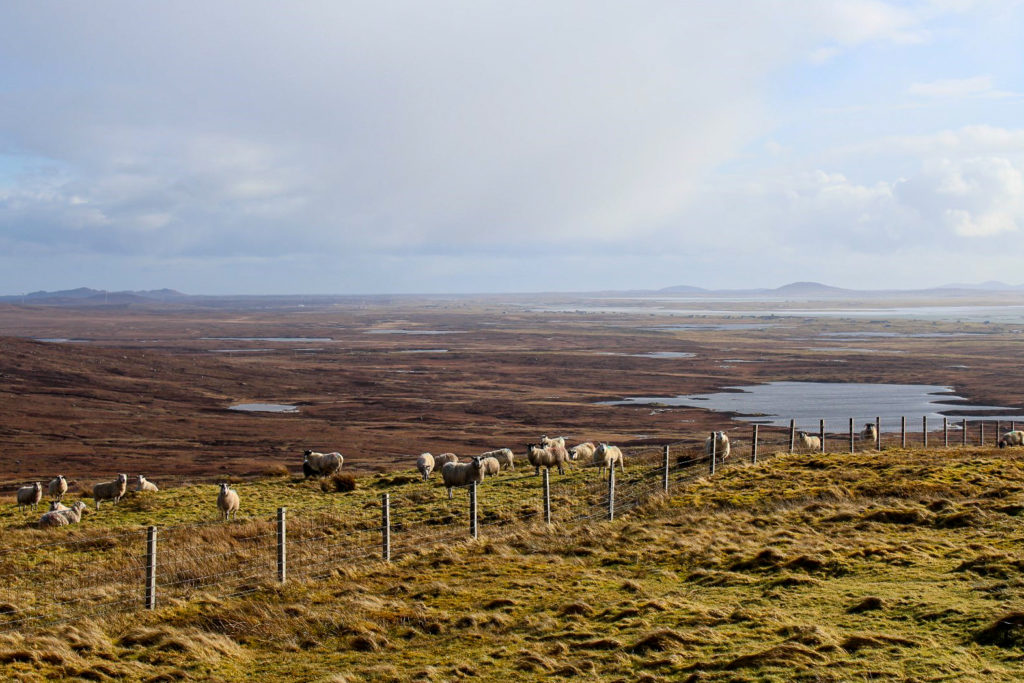
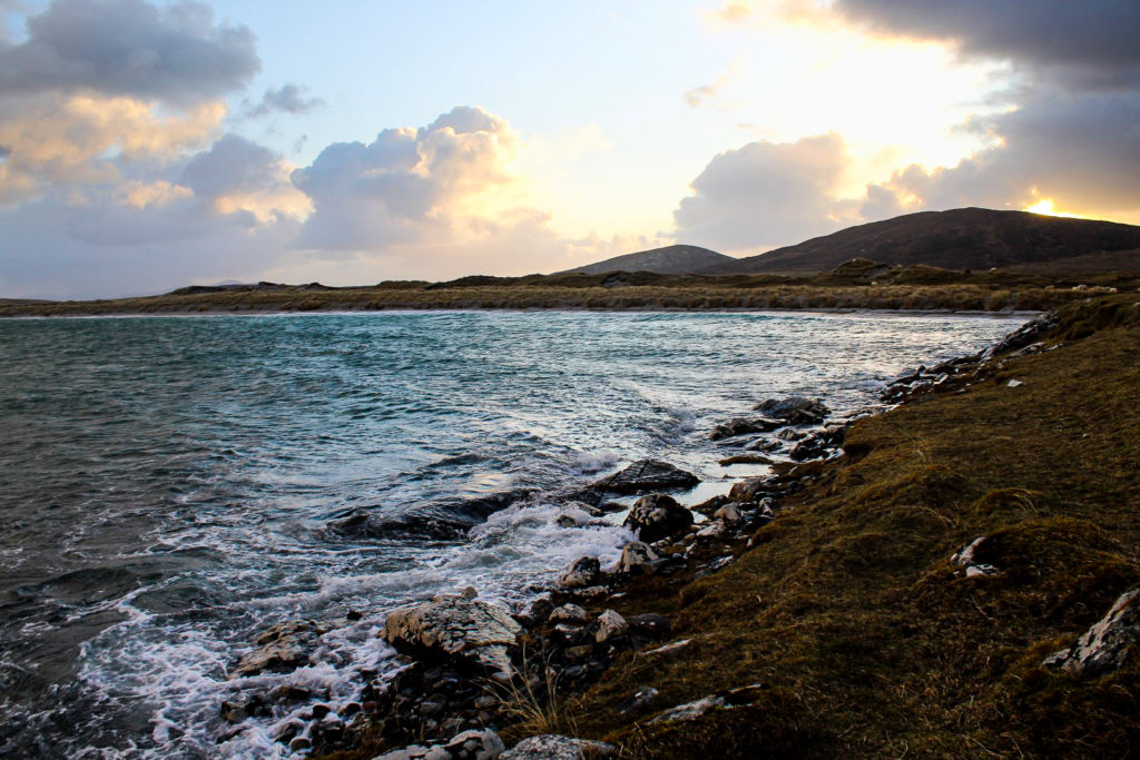
We were about to leave South Uist behind, but first we wanted to experience some of the best nature the island has to offer. We both agreed that North Uist is the more beautiful of the two, but the drive up to Loch Sgiopoirt along a scenic, narrow road certainly gave North Uist a run for its money.
As we were driving past the freshwater lake, Loch Druidibeag, we were suddenly stopped by two curious horses that blocked our way and walked up to the car. We rolled down the windows to pet them, and one of them tried to eat my hair. We tried rolling forward very slowly, but they didn’t give up easily! A few hundred meters further along the road, two of their friends were waiting for our arrival. And the same thing happened again!
Once we finally got past the (a little too) friendly horses, we parked the car and walked the last part of the road down to the ocean, dramatically dotted with skerries and rocky islets.


The wheelhouse, a local secret on Grimsay
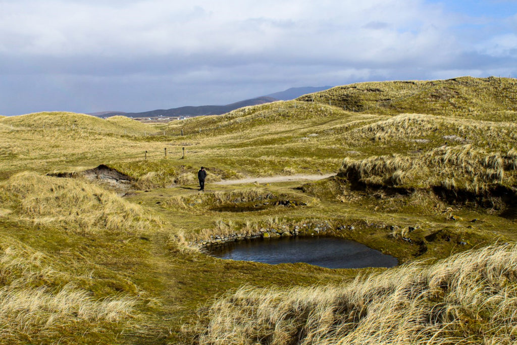
Moving onto the island of Benbecula, we stopped by the Puffin Craft Studio, a lovely little craft shop with everything from postcards and cute homemade signs to beautiful jewellery made with local rocks. We had a long talk with the owners who immediately started giving us recommendations for places to visit when I told them about my archaeology studies. One of the places they mentioned is a local secret, one you won’t find unless you know exactly where to go.
They pointed it out on the map for us, and off we went to the tiny island of Grimsay to search for the local secret, an Iron Age wheelhouse hidden in the hills of the island. There is no path leading to it, nor any signposts, but we found it after a little while of searching through the area. If you want to see it too, your best bet is to visit the Puffin Craft Studio, support them and ask for them to point it out for you!
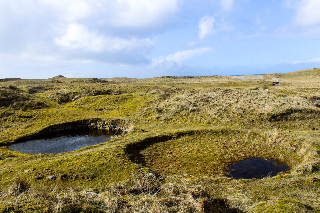
Wheelhouses are circular drystone buildings with the interior divided by stone piers arranged like the spokes of a wheel with a central room. They date to the Iron Age, somewhere between 500 BC and 500 AD. They are only found on the Outer Hebrides and Shetland, and this one is thought to be the best preserved of its kind. It’s actually one of many archaeological sites along the northern coastline of Grimsay, ranging from the early Iron Age through to modern times.
Unfortunately, a scientific excavation has never been carried out on the site and a lot of information was lost due to an amateur excavation in the 1990s. Hopefully someday, a proper excavation will be carried out to reveal more about Grimsay’s best kept secret.
A detour to the Scolpaig Tower
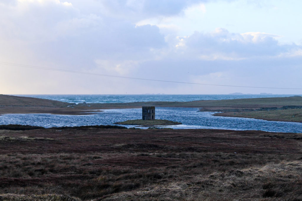
The very last place we visited on the Uists was a last-minute add-on. On our way back north to Berneray where we planned to spend the night, we took a short detour to see the Scolpaig Tower, located in the middle of a lake on North Uist.
The tower was built around 1830 on the site of an Iron Age fort on a small islet in Loch Scolpaig. The Gothic-style tower was primarily built for decoration, but also to provide employment due to local famine. It’s not used by anyone apart from birds that nest in the walls, and tourists like us that come to view the rather odd structure.
It was nearing sunset when we arrived and we were both tired and hungry, so we gave up on walking down to the lake, and instead just viewed the tower from the road. Apparently, it can be reached via a stone causeway when the water level is low, something that would be really fun to do if I ever return to the Uists (I sure hope I will!).
The creepiest hostel on earth vs another night in the car
We made our way to Berneray, intending to stay at the Berneray Youth Hostel. The hostel is a so-called trust hostel with no staff and the doors always open, so guests just choose a bed and then leave the payment which is collected once in a while. We were excited for a comfortable night in a cozy setting, but it wasn’t quite what we’d hoped for. In fact, it was the opposite.
Because the hostel is creeeepy.
It’s set in two blackhouses, the traditional houses on the Hebrides, which are beautiful, but also very cold and dark – and full of cobwebs and dirt from former guests. Definitely not worth the price of 16 pounds each! But the worst part is the location. The hostel sits at the edge of a cliff by the ocean in a deserted area. It just couldn’t get any spookier! We both felt too uneasy and creeped out to stay, so we decided to look elsewhere. We drove around the entire island, knocking on the doors of all b&bs we came by, but they were all closed. We tried the hostel once again and even cooked our dinner in the tiny, old kitchen, but we just couldn’t get ourselves to lie down on the beds. We knew we would be in for some serious nightmares if we did! So instead, Brandon opted for the cold waiting hall at the ferry terminal and I settled in the equally cold car for the night.

Farewell Uists
The next morning, we were supposed to leave the Uists early to return to Lewis and Harris, but strong winds got our ferry cancelled, so we had to wait for another ferry in the afternoon instead. Since we had more time on the Uists than expected, we decided to leave with a bang and go for a long and beautiful drive to Cheesebay, a remote crofting township on the northeastern coast of North Uist. It was lovely to get the last few glimpses of North Uist’s unique landscapes.
Soon, we were sailing past the many skerries and islets off the coast of the Uists, and past lighthouses that invited us for scenic hikes when we return to the islands one day. I, for one, will jump at the chance as I truly enjoyed the Uists much more than I’d expected to, and I would love to see more of this remote and special part of Scotland!


Leave a Comment