↠ Sponsored post ↞
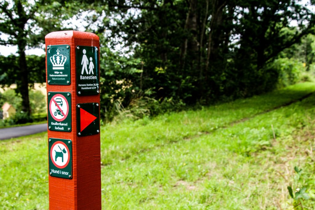
Banestien is a newly inaugurated hiking trail between the two towns of Odder and Horsens in East Jutland. The 36,3 km trail largely follows the old railway that connected the two towns between 1904 and 1967.
It winds through varying landscapes along dirt roads, footpaths and field boundaries, and runs through the old station villages where many of the station buildings are still standing.
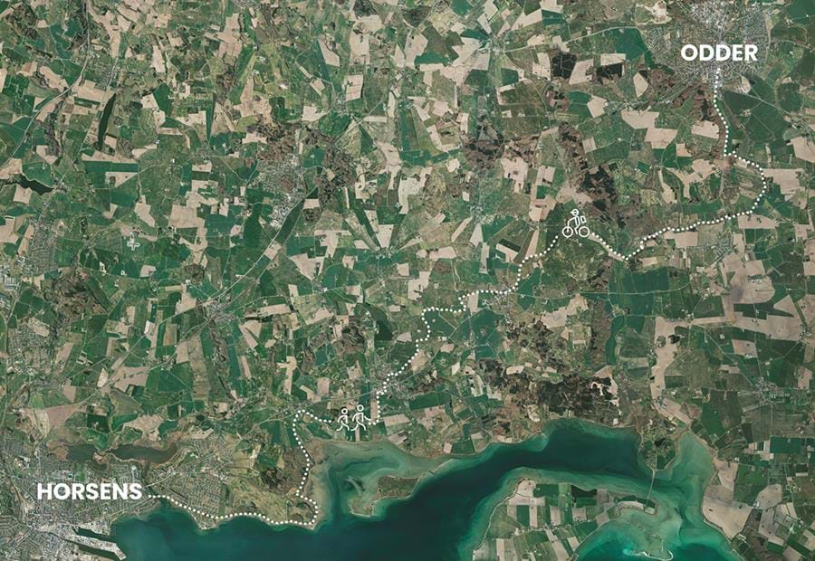
Map from Odder.dk
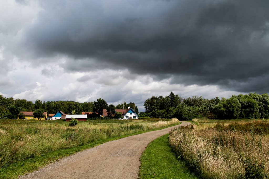
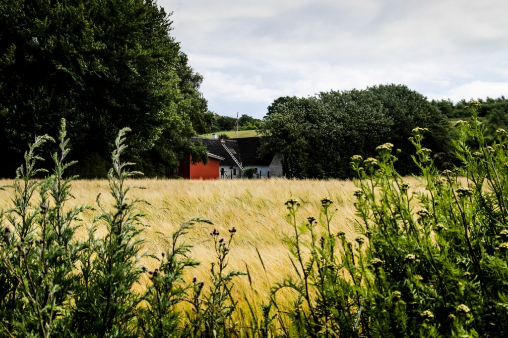
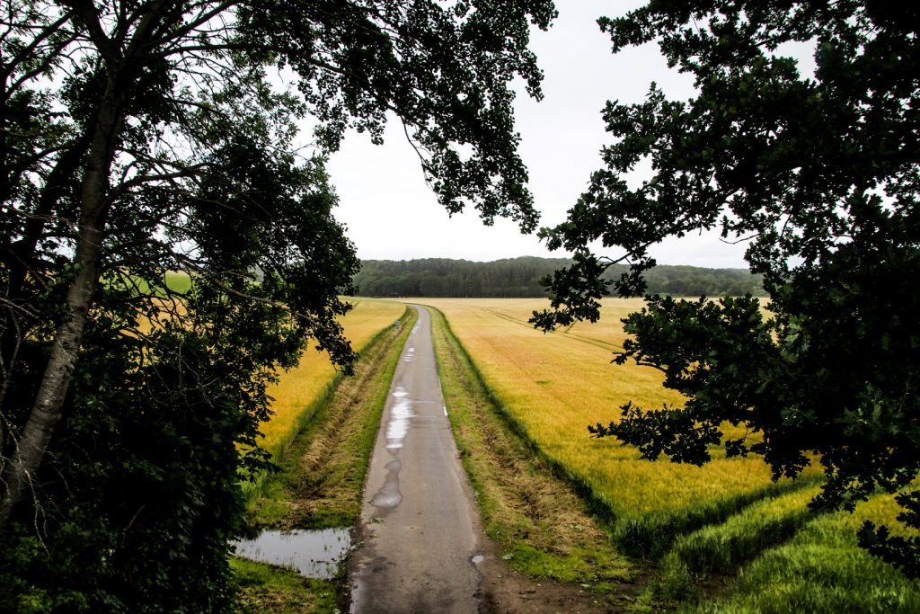
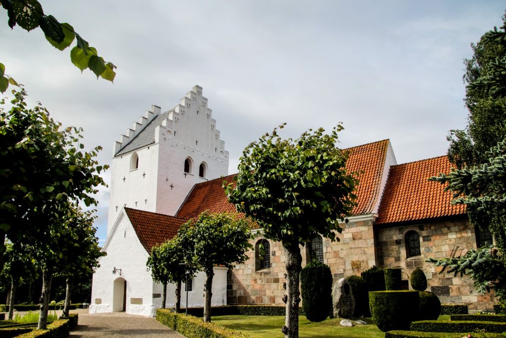
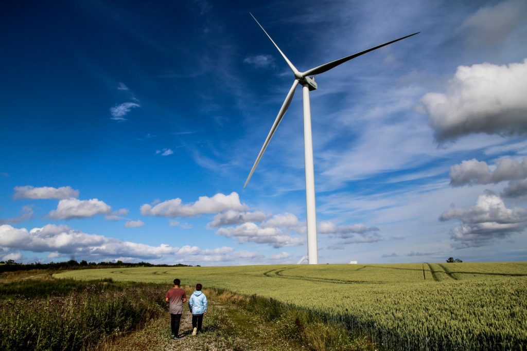
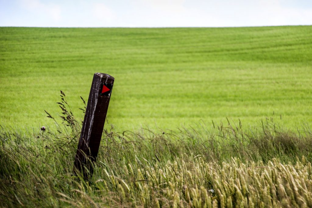
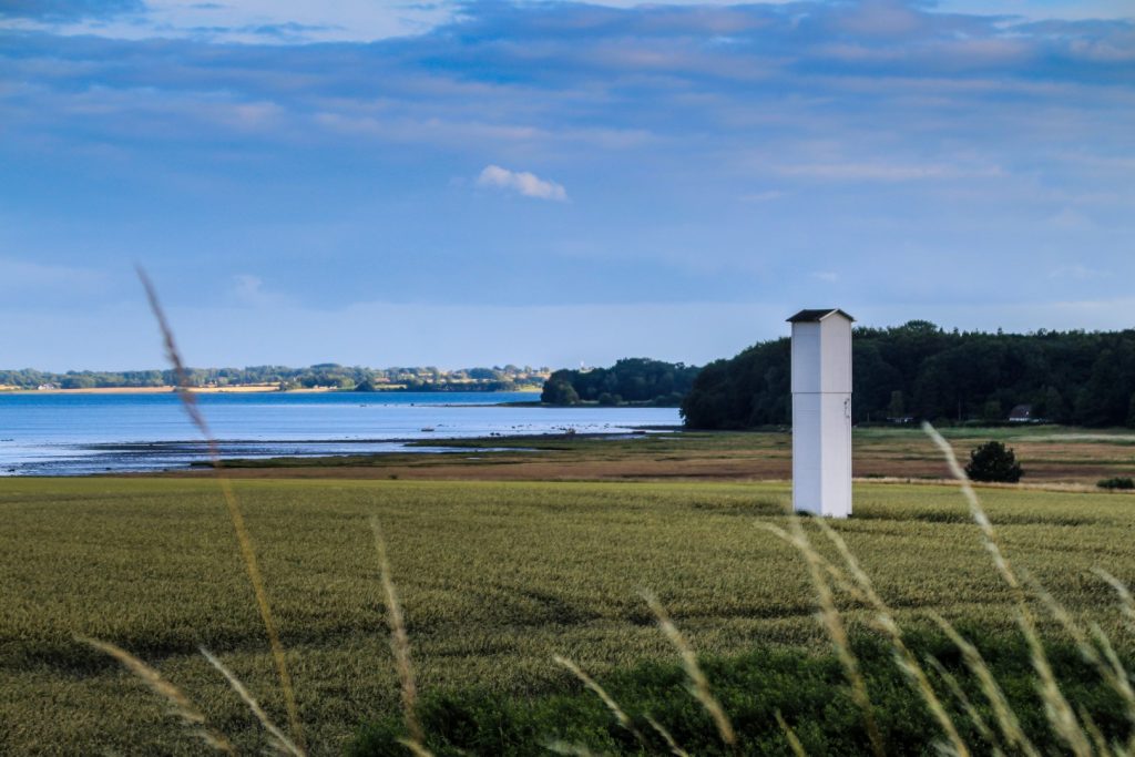
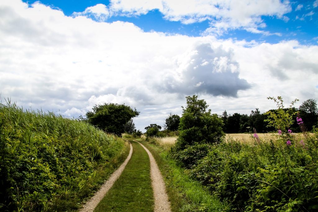
Setting off from Odder Station
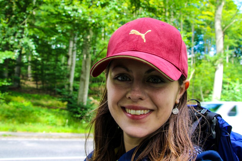
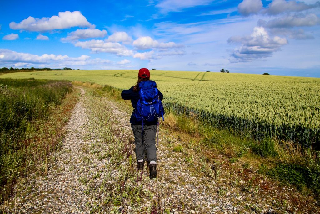
I decided to hike the trail over two days, starting in Odder and ending in Horsens. 36,3 km is doable in one day, but I wanted to take my time to fully enjoy it and have time to take photos, so an overnight stay along the route was perfect for me.
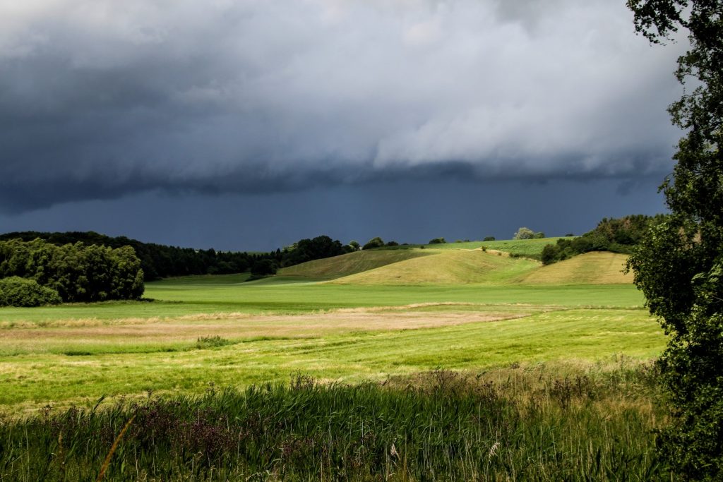
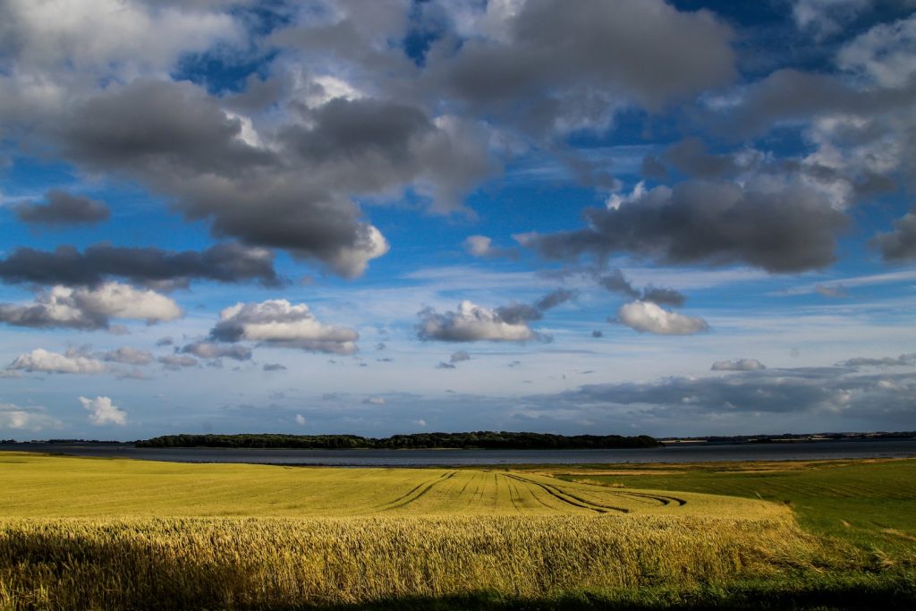
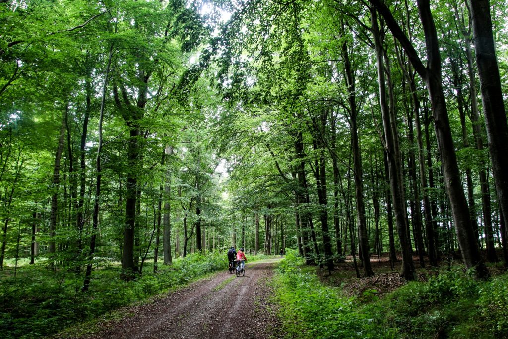
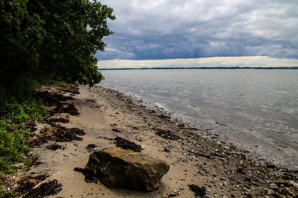
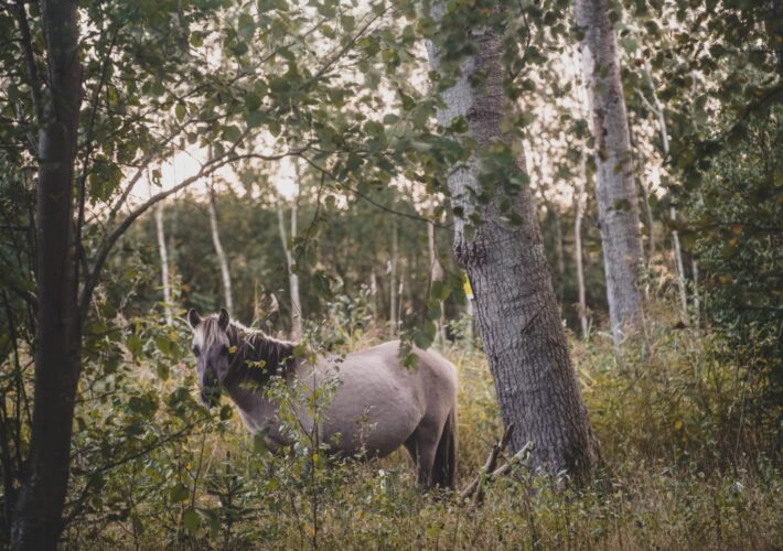
On an early July morning, I set off for Odder Station and walked out of the town following the main road towards Horsens. The first few kilometres of the trail follows the main road alongside the Vejlskoven forest, which is a popular place for hikers and joggers.
It was a typical July morning in Denmark. The temperature was pleasant, not too high or too low, and the sun was battling the clouds, looking for an opening for a chance to shine.
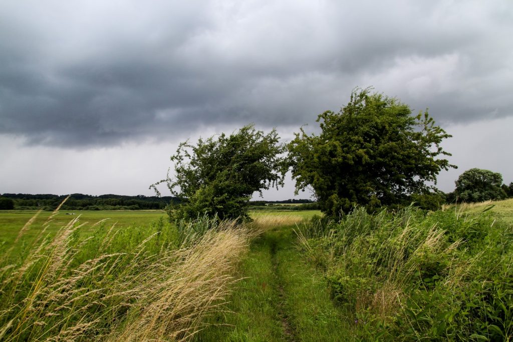
Into the wilderness at Randlev Mose
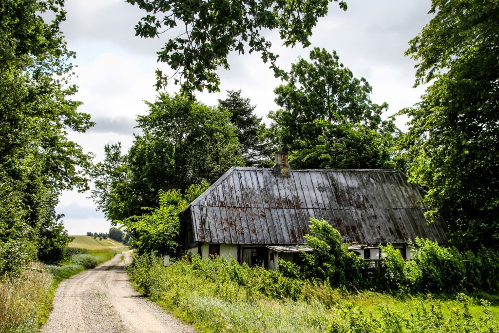
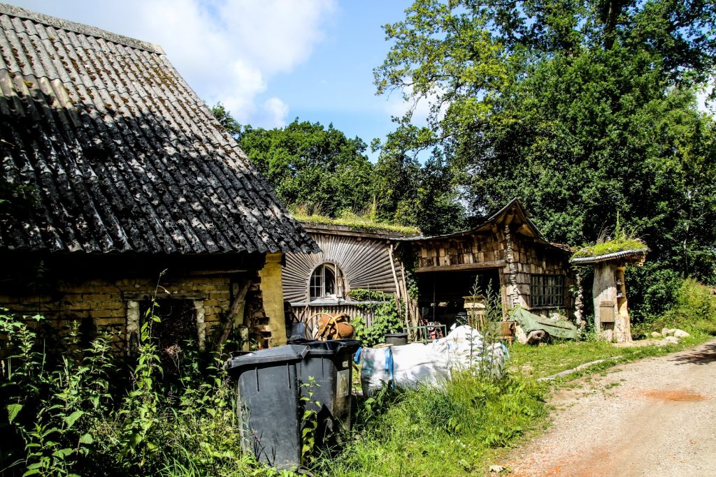
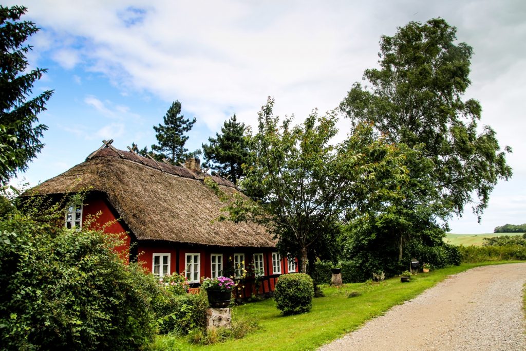
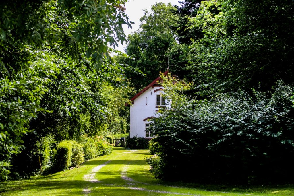
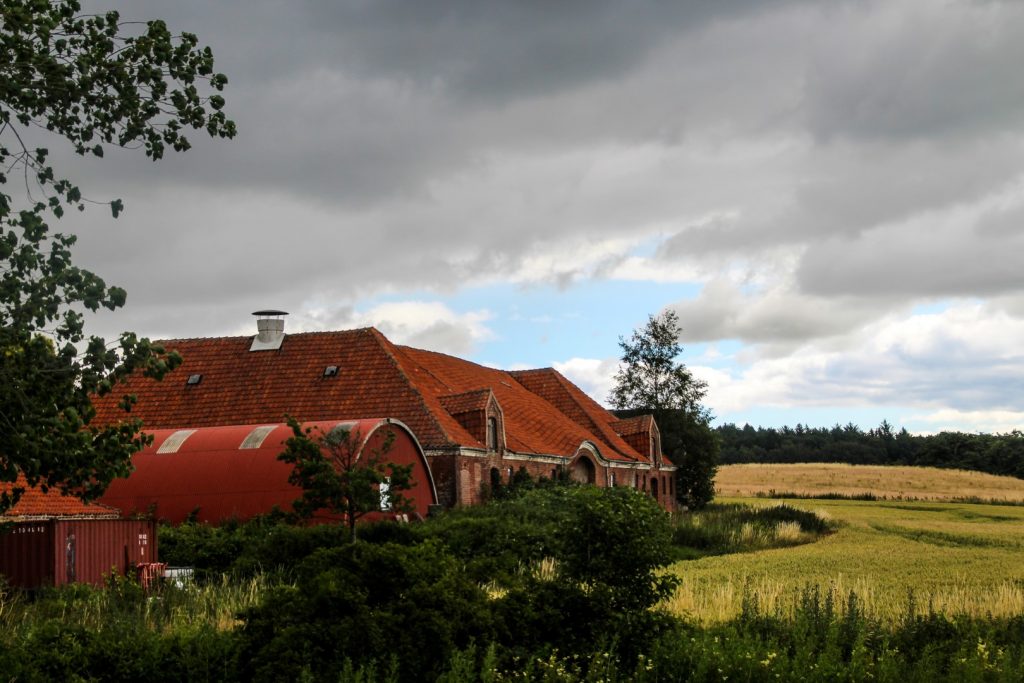
At the edge of Vejlskoven, I turned onto a country lane towards the village of Randlev and then onto a gravel road that I’ve known and loved for many years. My dad and I used to deliver adverts in Randlev, and I was always overly excited every time we’d drive this road. It runs through the wetland landscape of Randlev Mose (‘Randlev Bog’) and its tiny village of Drammelsbæk which is home to many half-timbered cottages as well as one of the most unusual houses in Odder. This africanized wooden house was built in recent years and joined onto a run-down farm building that has been there for as long as I can remember. I absolutely love the fact that the old farm building was preserved and kept exactly as it was.
I didn’t have much breakfast before leaving for the hike, so I followed a little nature path to a grassy area where I found a little bench to sit and enjoy a snack. The sun was still fighting for attention but the clouds seemed to be winning and I felt some drops of rain as I got up to continue my hike.
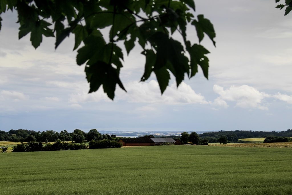
Onto the next bog, Ørting Mose
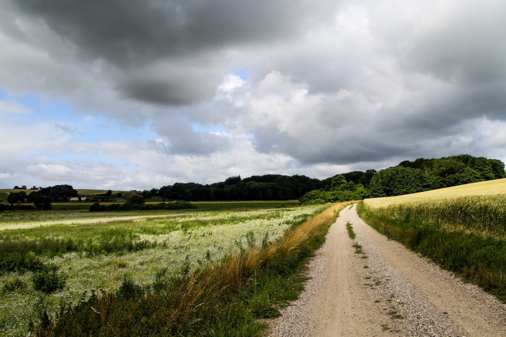
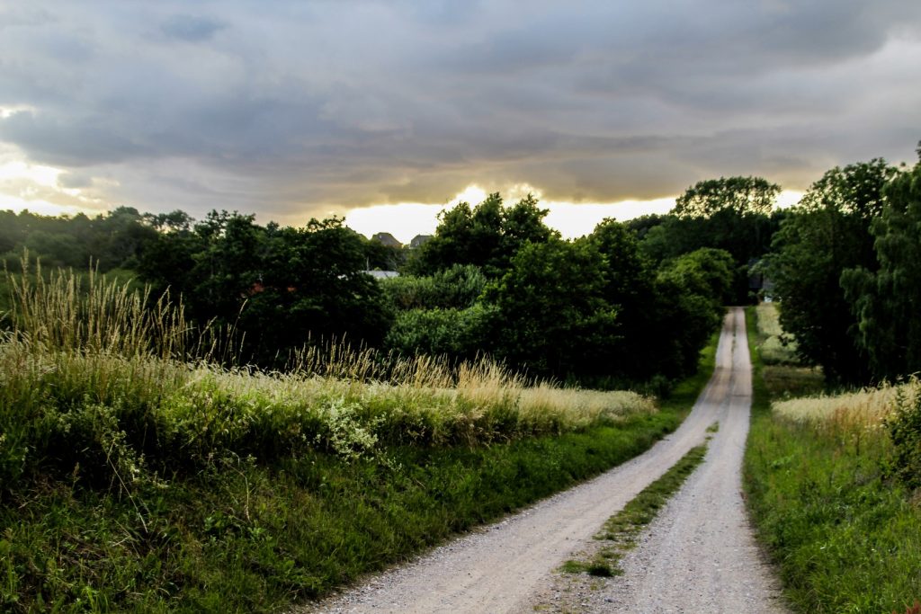
I left the quaint houses of Drammelsbæk behind and continued along a tiny footpath that joined onto the main road. I crossed the road and found the next gravel road which took me into the heart of Ørting Mose (‘Ørting Bog’), which lies as an extension of Randlev Mose. I’d never been to this area before, so I was glad to discover yet another stunning place to go for hikes in my birth region.
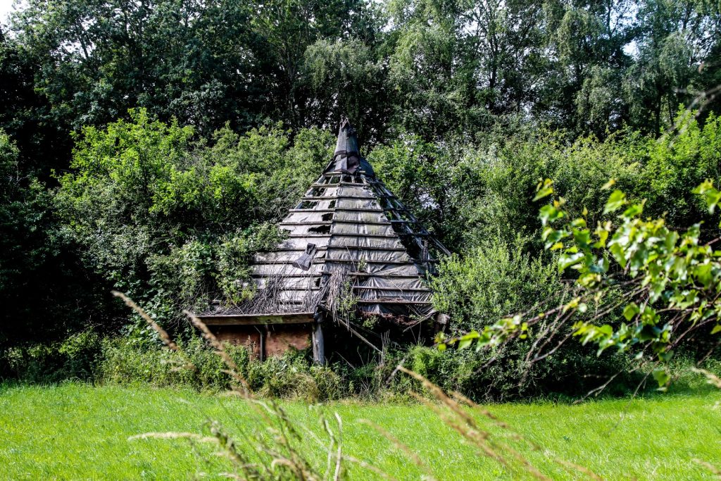
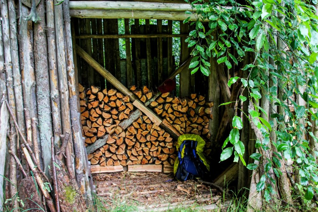
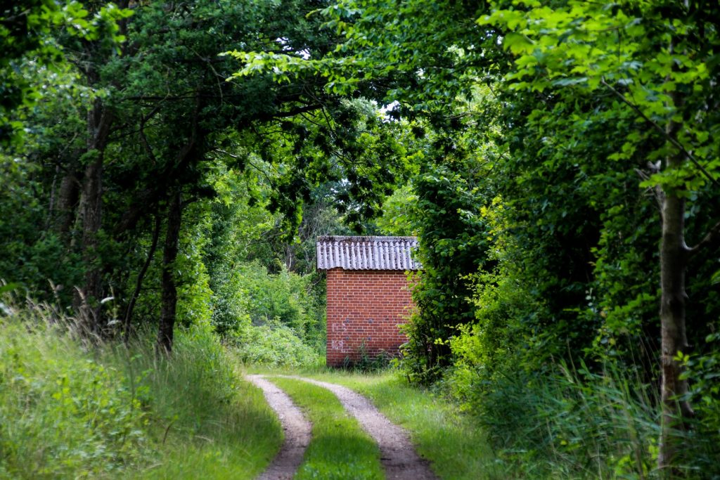
Unfortunately, the drops of rain soon turned into a wild downpour. But luck was with me as I spotted a wooden shed with a good roof where I could seek shelter until the storm had blown over.
Three hares jumped past me and into a field as I made my way out of my shelter and onto the gravel road again. The sun had returned, so thankfully it was only a quick downpour. But it was nearly 1.30 pm, three and a half hours after I’d left Odder so I needed to get a move on if I wanted to make it to my accommodation in Haldrup that same night.
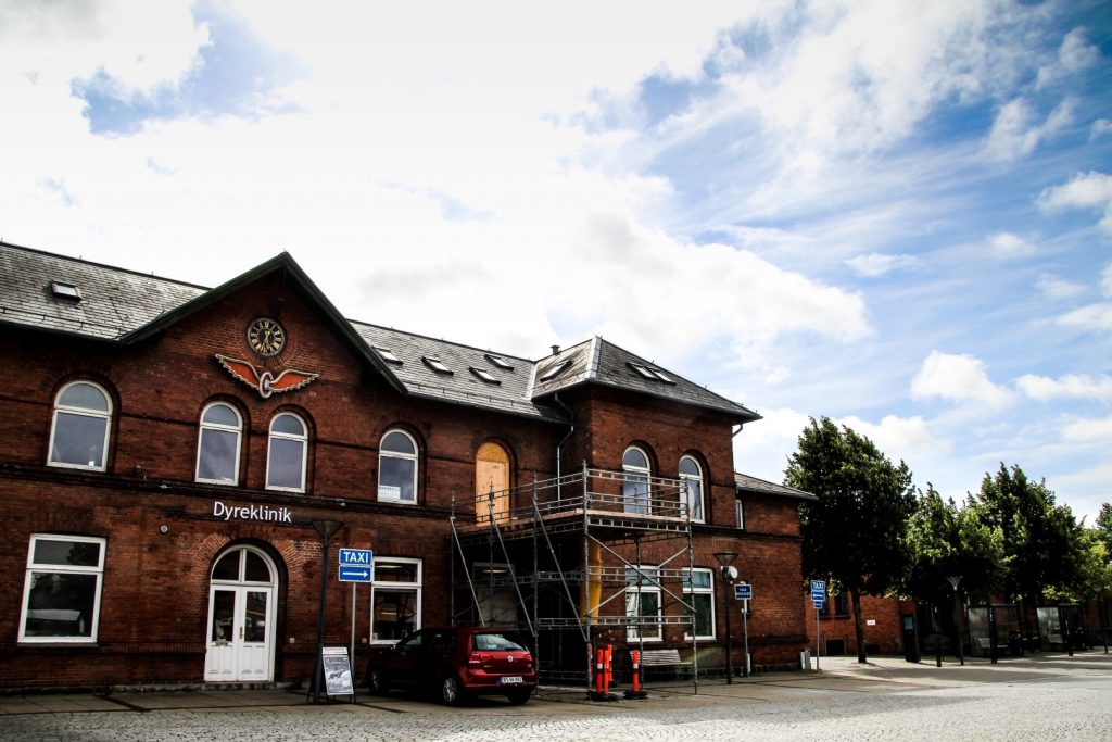
The railway tracks at Bilsbæk
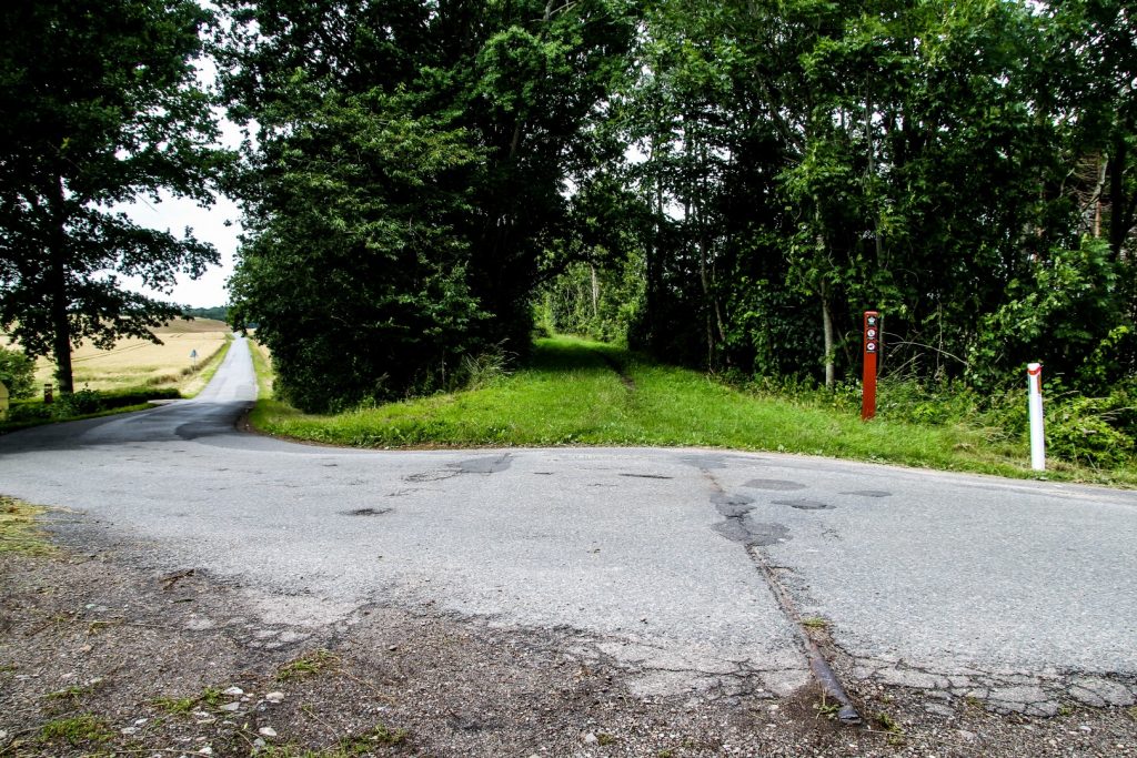
The idyllic nature paths and gravel roads came to an end as I joined onto Bilsbækvej which connects the two villages of Bilsbæk and Ørting.
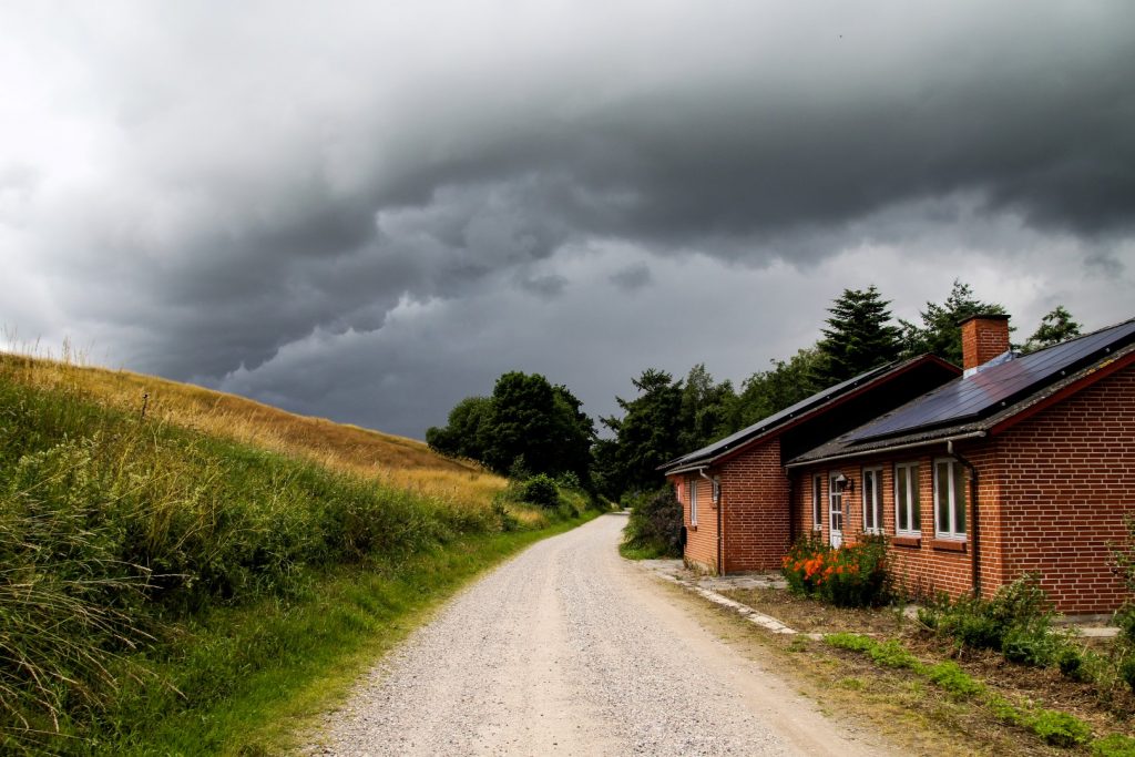
At Bilsbæk, I saw the first of the 32 old station buildings along the old railway. But the most interesting sight was in front of the building; preserved railway tracks embedded in the asphalt! It was literally history peeping through!
Along Akjær-Hundslund Nature Path
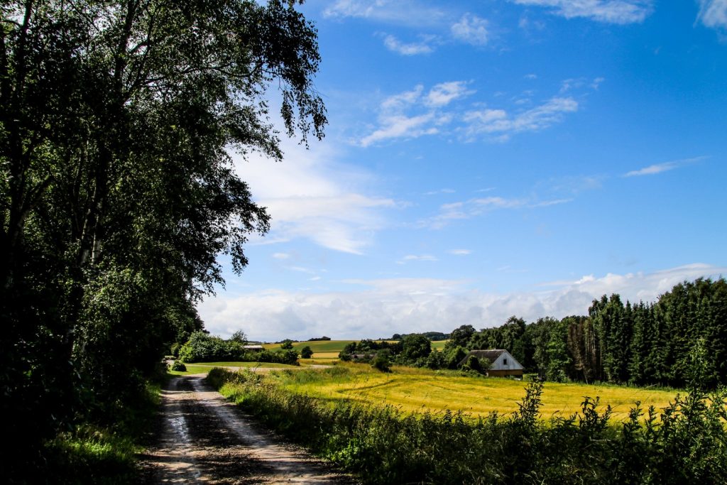
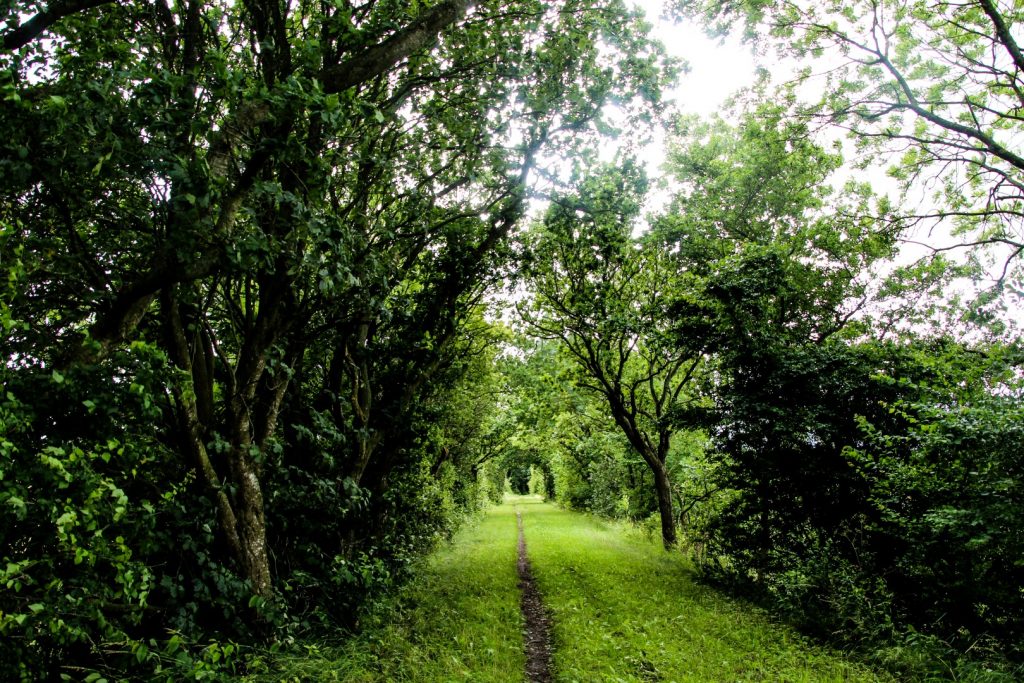
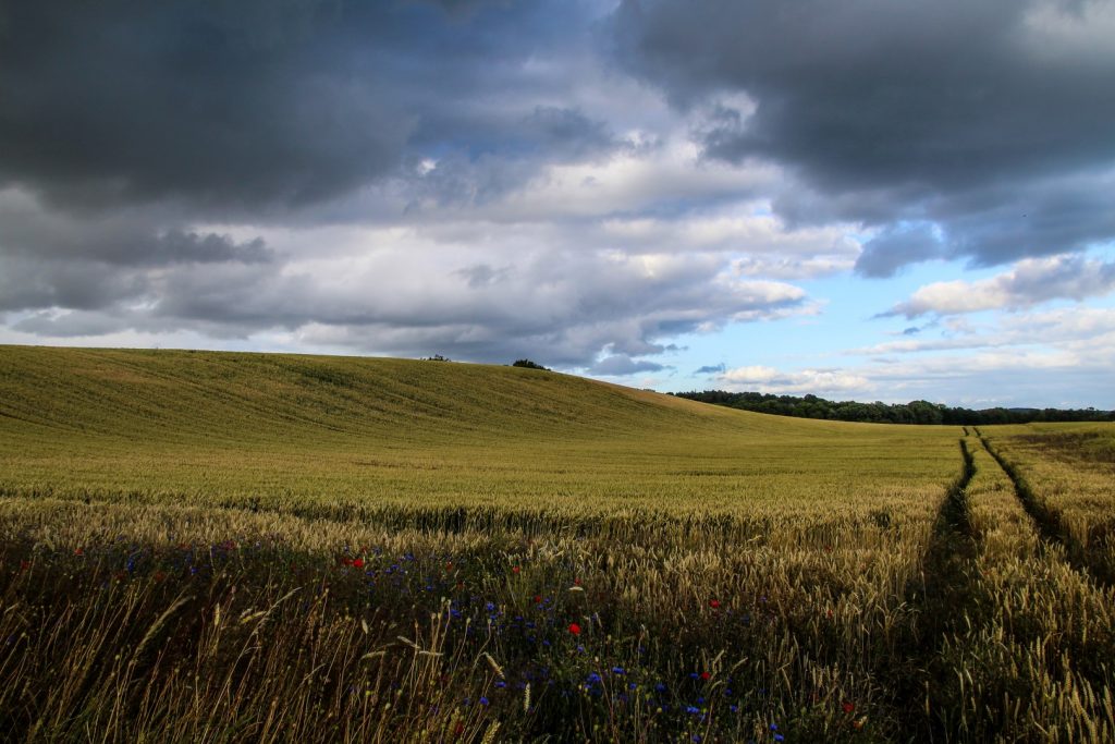
I ate my lunch on a bench near Bilsbæk Station before continuing on the route which joined onto Akjær-Hundslund Natursti (‘Nature Path’), the longest preserved section of the old railway at 5,5 km.
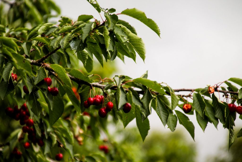
The majority of the nature path is lined by apple trees and cherry trees, which reportedly stem from the apple cores and cherry stones that the passengers on the old railway threw out of the windows while passing by.
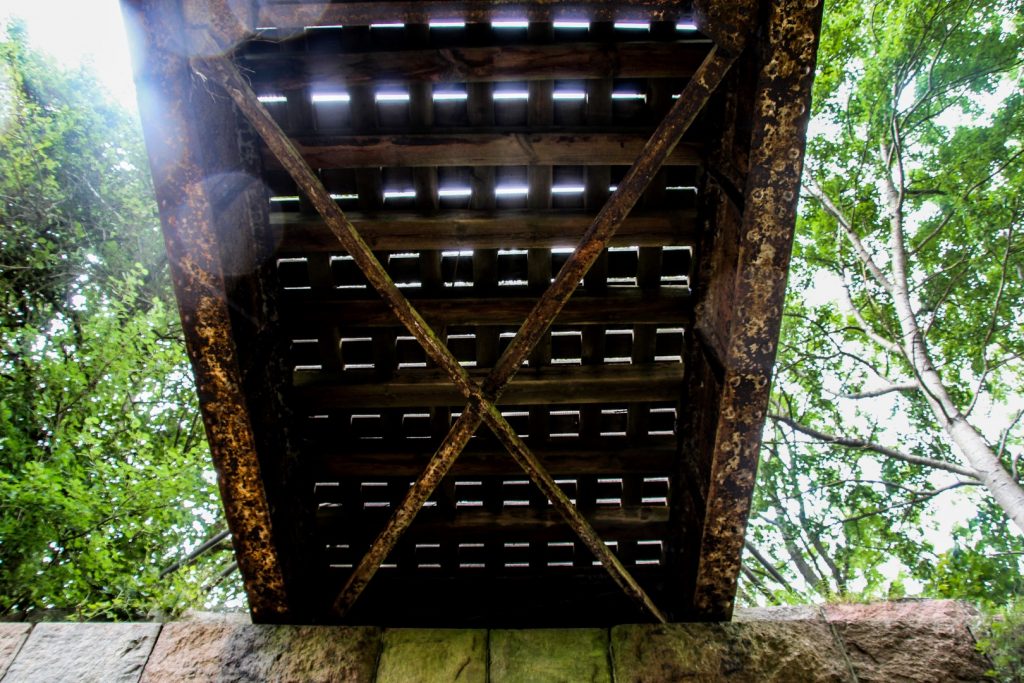
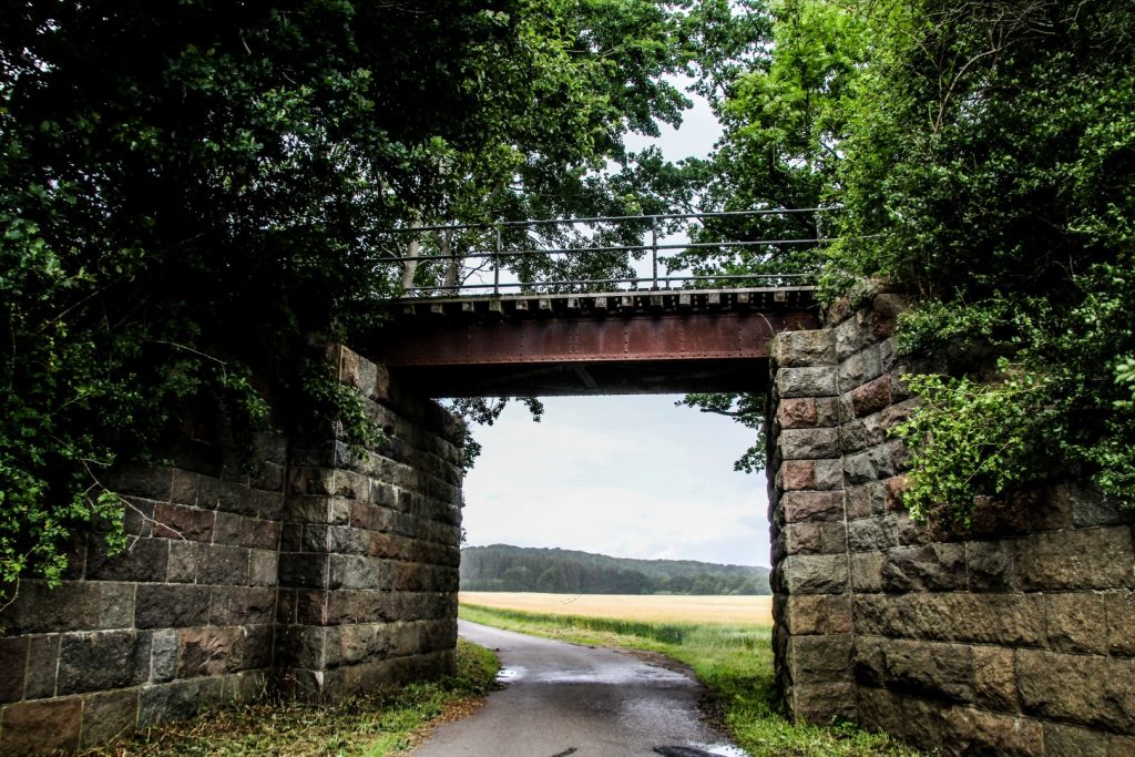
I came to an old railway bridge which is incredibly well-preserved. But I couldn’t just continue without seeing it from below! So I climbed down a steep hill to peep up at the old tracks. The railway in this section was elevated above the existing fields so it wouldn’t affect the road networks back in the days. Luckily so, otherwise this well-preserved piece of the old railway wouldn’t exist today.
With the narrow path surrounded by trees on both sides, it was easy to imagine a train running through above the fields. What a beautiful trip it must’ve been.
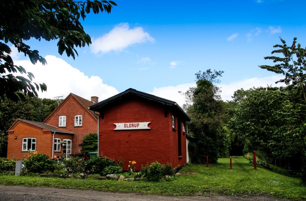
All of a sudden, I came to an opening in the forest and spotted the old Oldrup Station, which has been turned into a beautiful home with flowers all over the garden.
I met the owner who told me that he used to visit his grandmother when she lived there in the 1960s after the railway was put out of use. She had kept the old Oldrup sign and after her grandson took over the house, he also decided to keep it to preserve history. I love how they built a home in the old building and thus made sure to preserve it for generations to come.

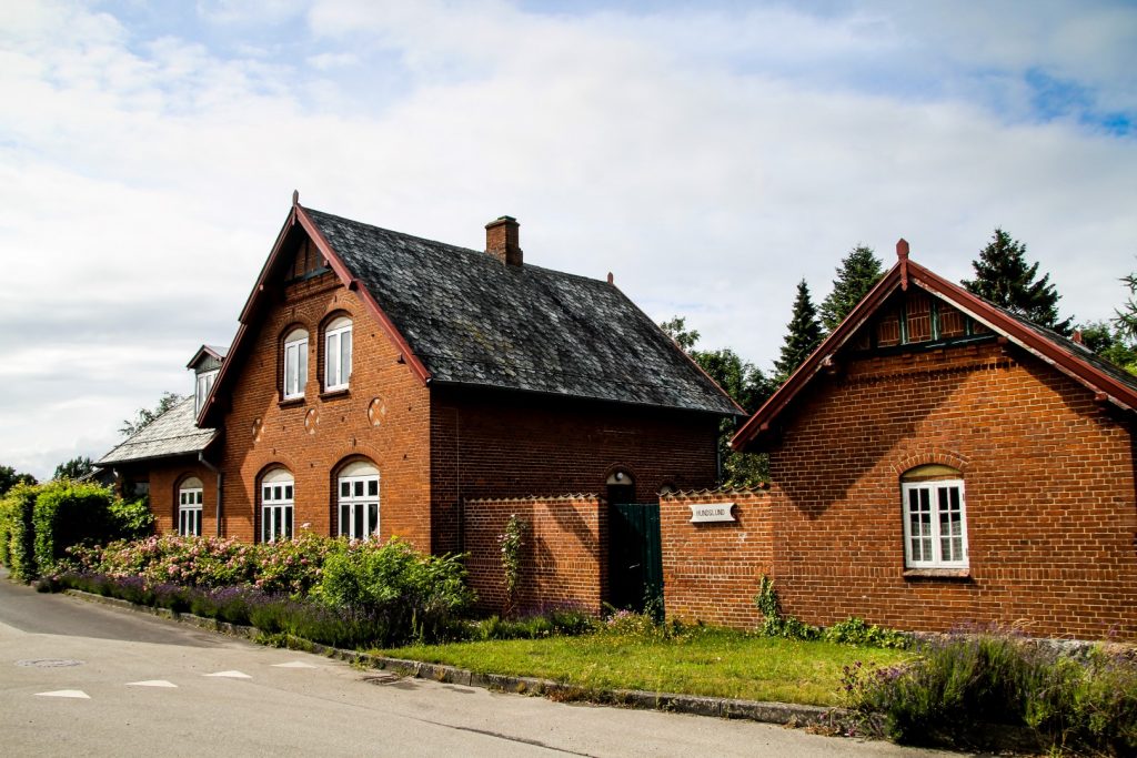
The historic village of Hundslund
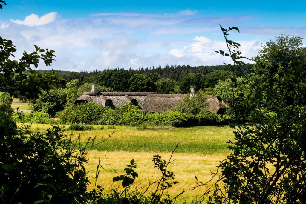
The nature path ended in the outskirts of the village of Hundslund where the well-preserved old station building still stands.
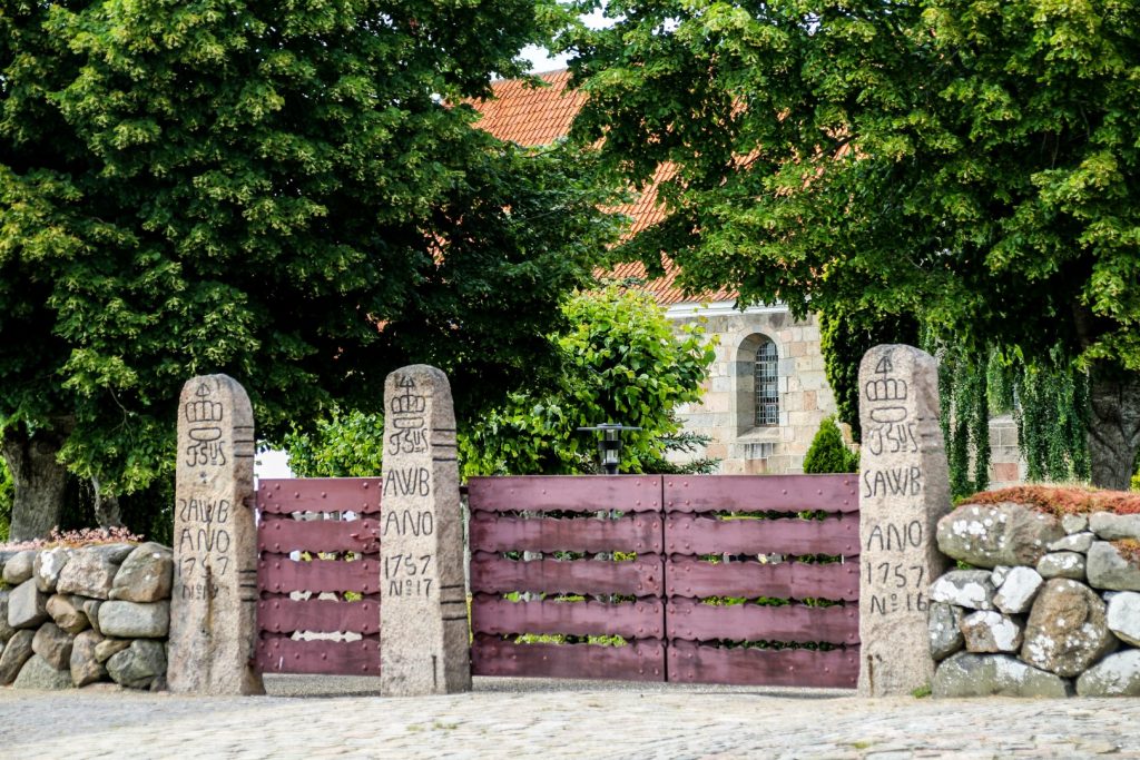
Since I was already there, I decided to take a small detour from the trail to Hundslund Church to see the three hunting preserves stones that mark the entrance to the church. These stones originate in historical times and are characterized by their carvings which always include a crown at the top of the stone, a royal monogram, initials of the district, the year it was carved and the stone’s number within the district.
The stones were used as boundary markers for the royal hunting preserves scattered around Denmark, primarily founded during the rule of King Frederik II (1559-1588 AD), although the stones were not erected until the rule of King Christian IV (1588-1648 AD). The stones were erected on ridges or mounds to be seen from afar so people could see that they were on royal territory where hunting was banned.
There are 120 registered hunting preserves stones around Denmark, but only very few of them are placed in their original contexts. The three stones at Hundslund Church are believed to have been originally placed near the Åkjær Manor.
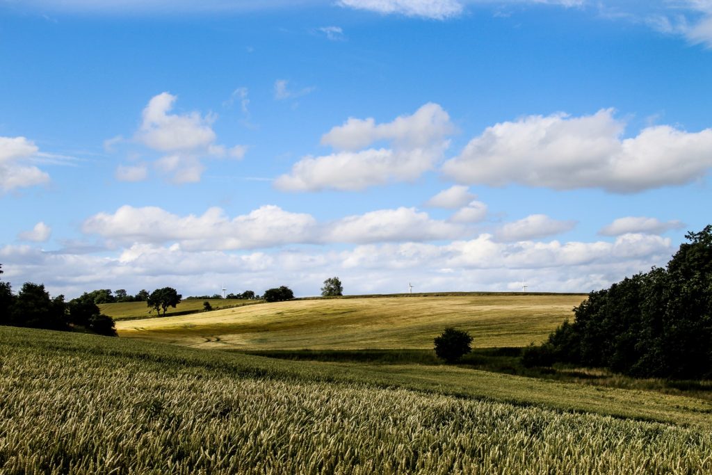
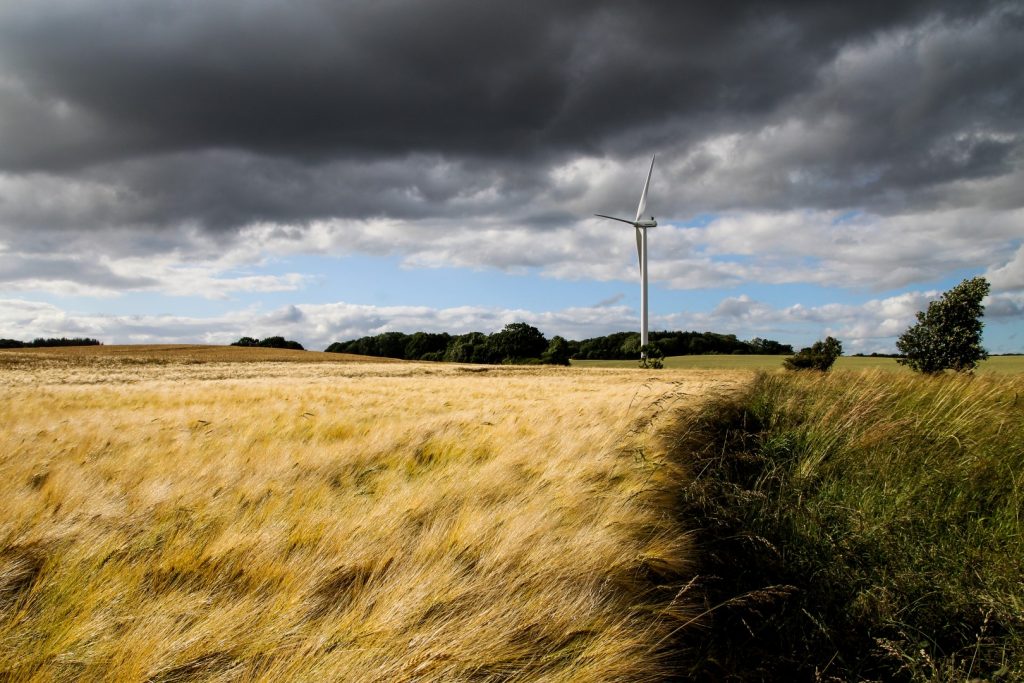
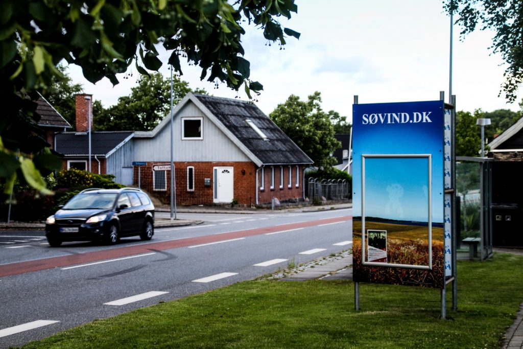
Along Søvind-Hundslund School Path to the wind turbines
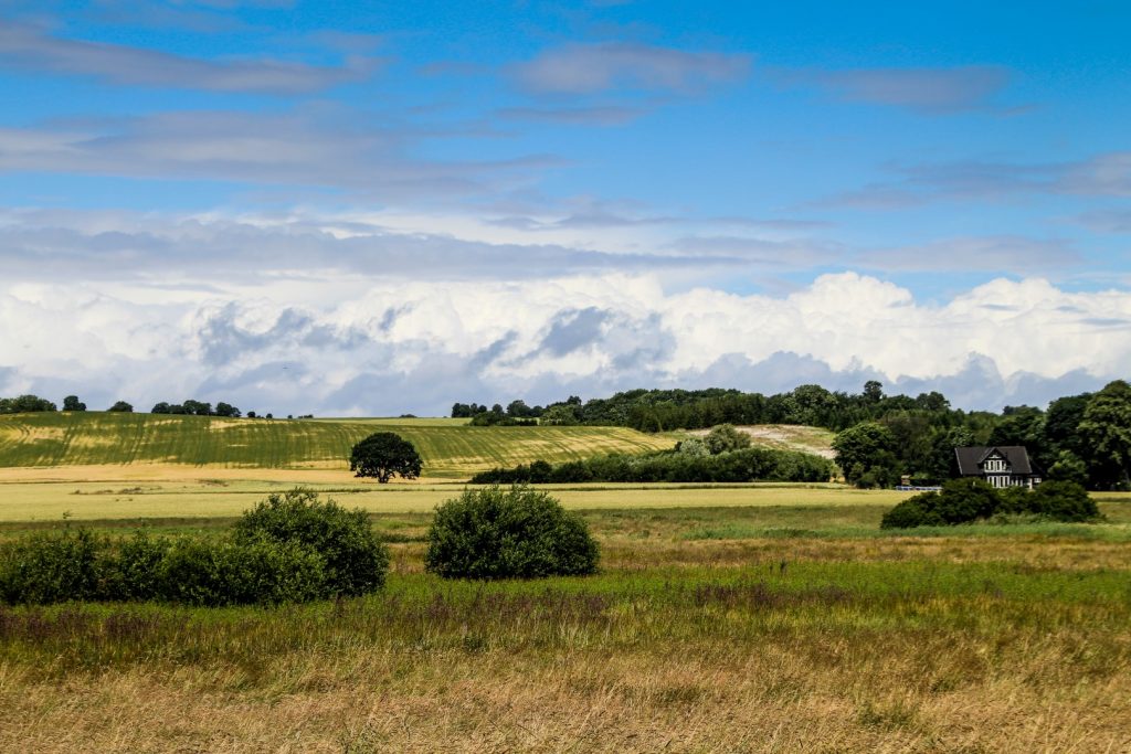
From Hundslund, I joined onto the newest part of Banestien, Søvind-Hundslund Skolesti (‘School Path’), which was inaugurated last summer. The footpath is called a school path because it connects the two schools in Hundslund and Søvind. The entire 5,3 km path runs through field boundaries on private lands in a hilly lanscape that was formed during the last ice age.
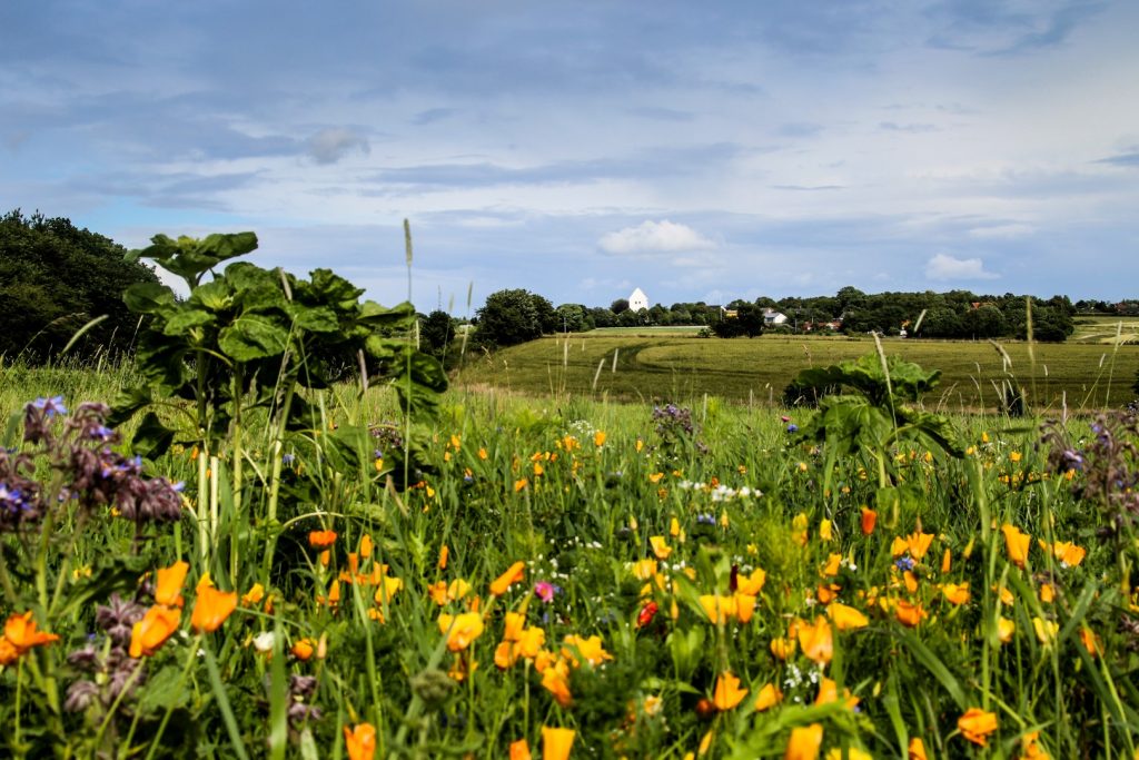
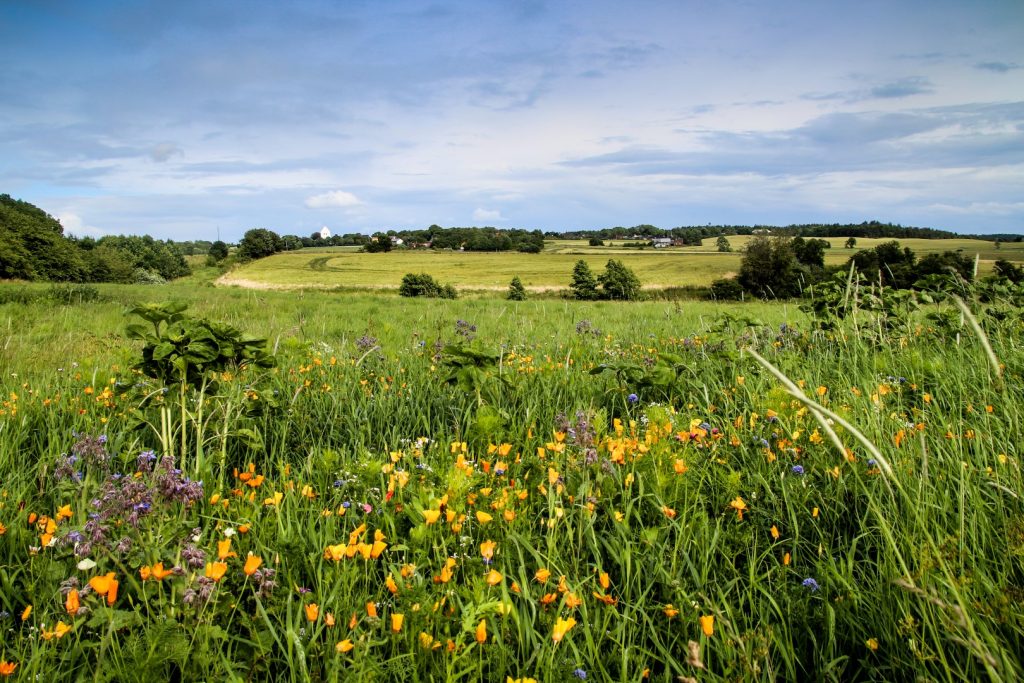
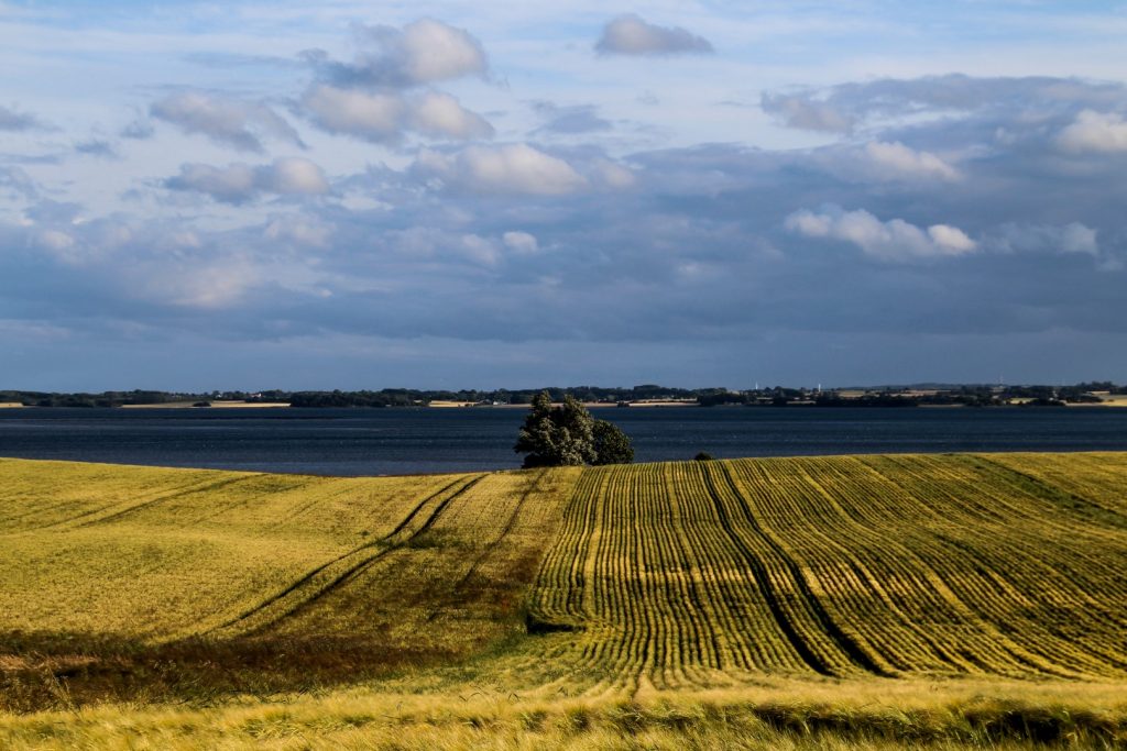
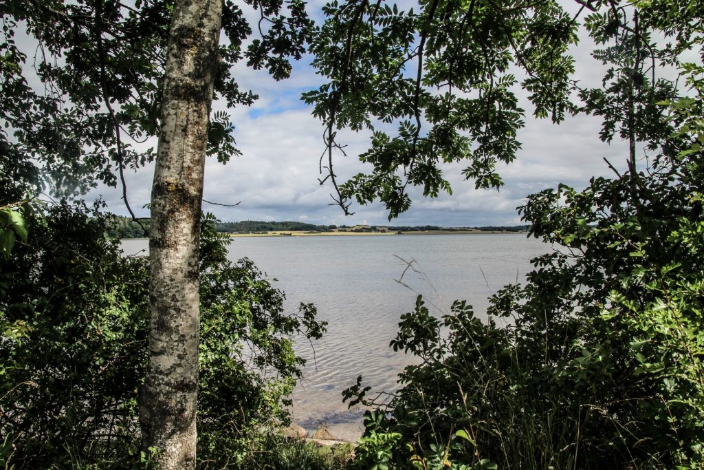
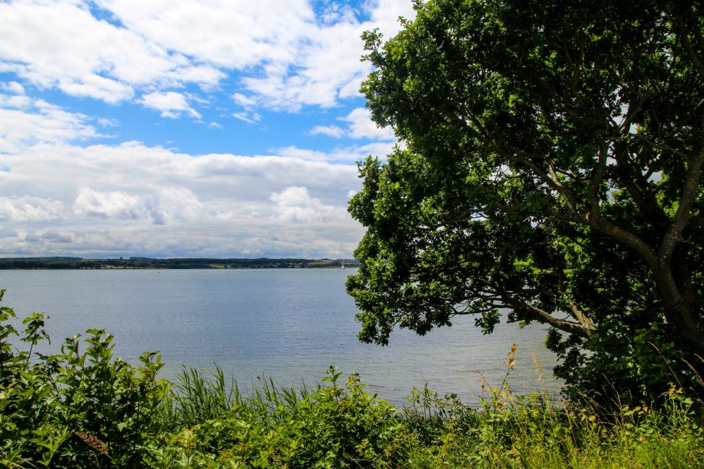
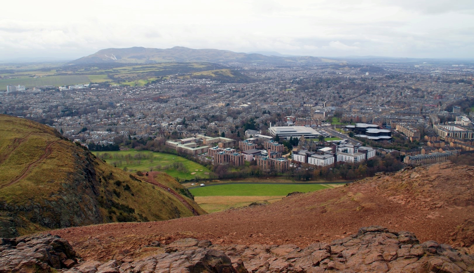
The path offers beautiful views over Hundslund, the hilly countryside and Horsens Fjord in the distance. I found the most beautiful wildflowers along the side of a road that separated two parts of the path. There, I sat and waited for my mum and younger brother who were on their way to meet me to walk with me for a while.
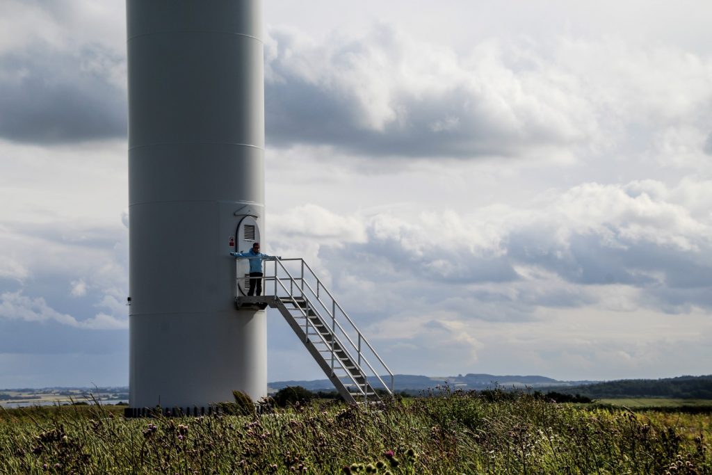
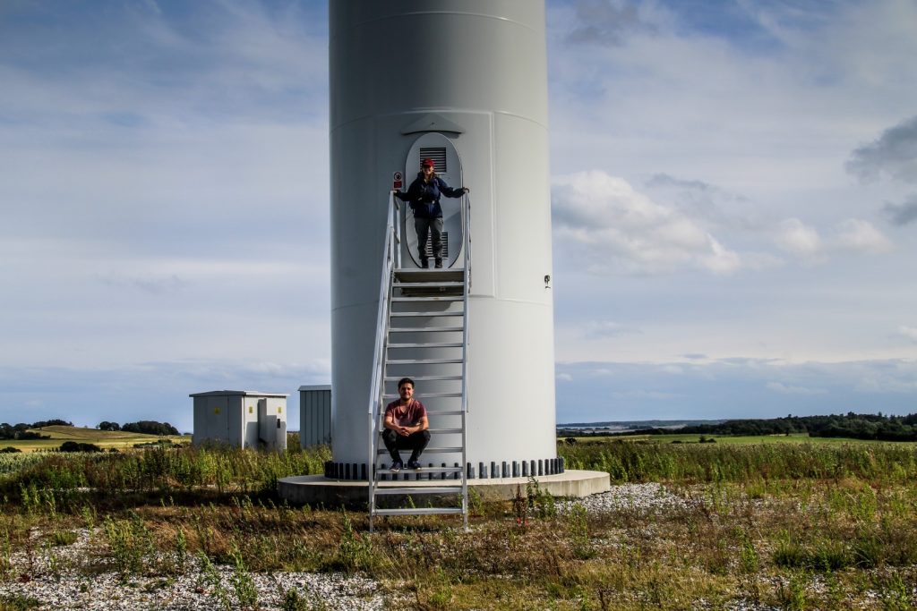
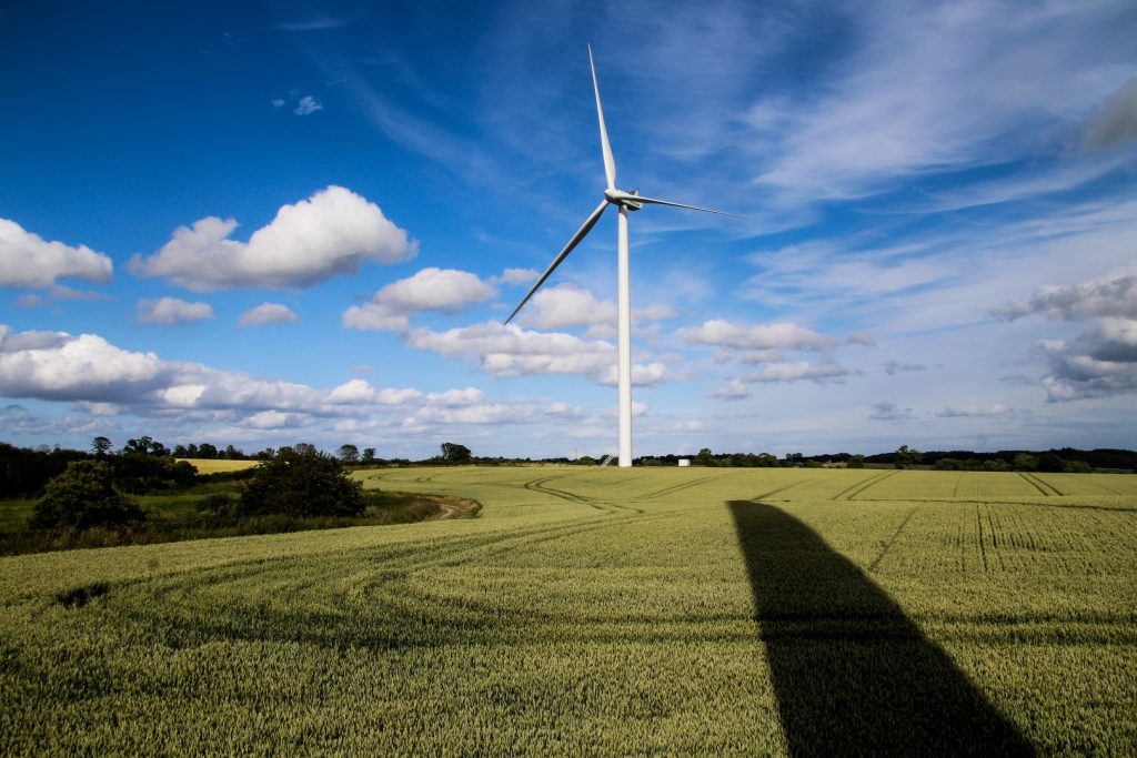
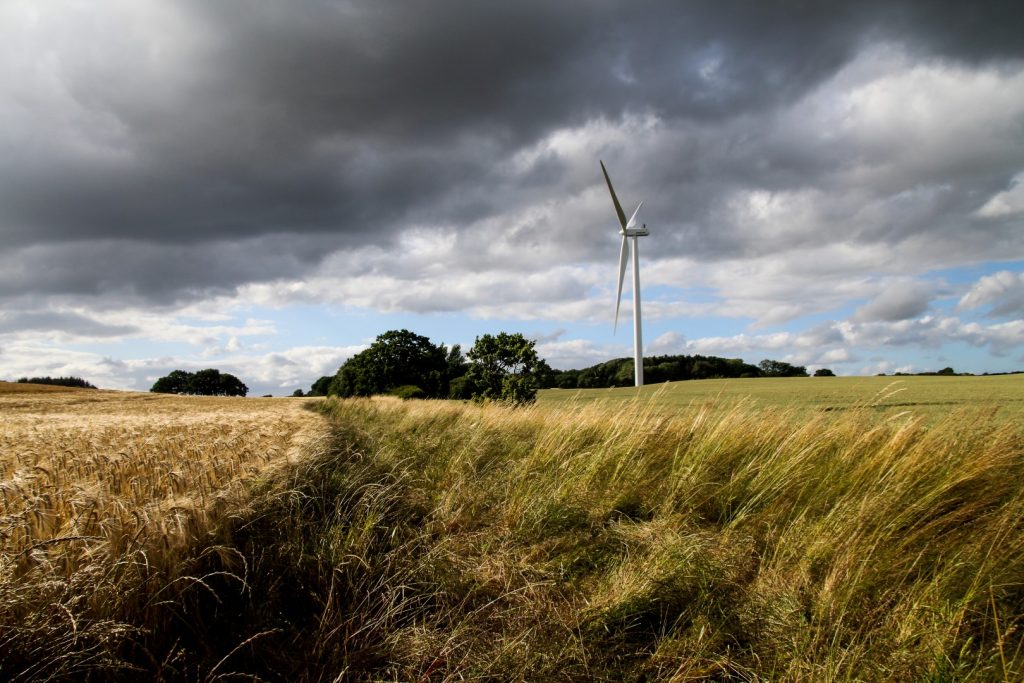
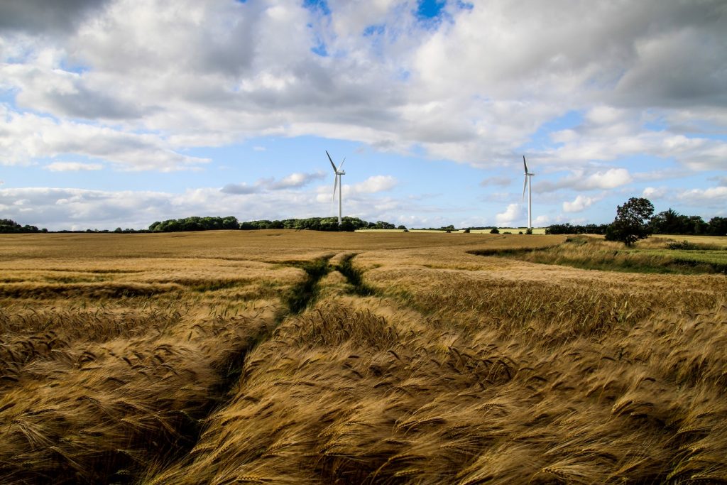
Together, we walked to two 125-metre tall wind turbines with blades that went around surprisingly slow considering how windy it was. We felt so small Iooking up at the enormous blades!
We noticed that one of the wind turbines was open and we couldn’t help ourselves – we just had to look inside it! I’ve never seen the inside of a wind turbine before, so it sure was an interesting experience!


That time when the path disappeared…
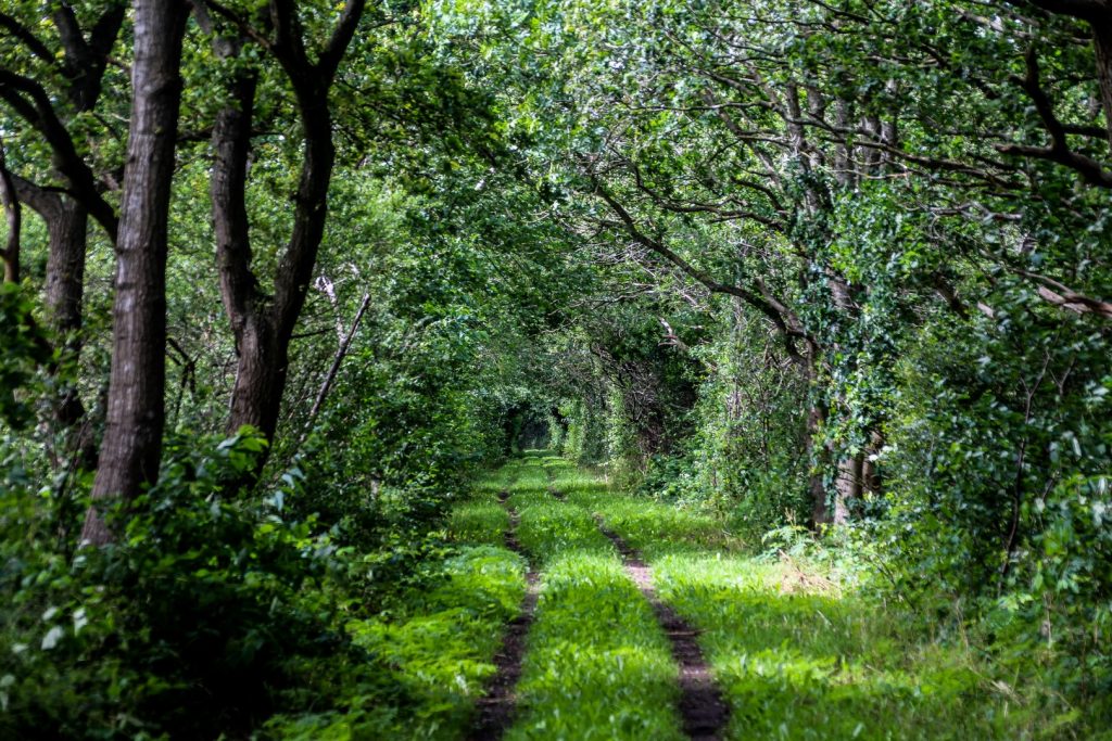
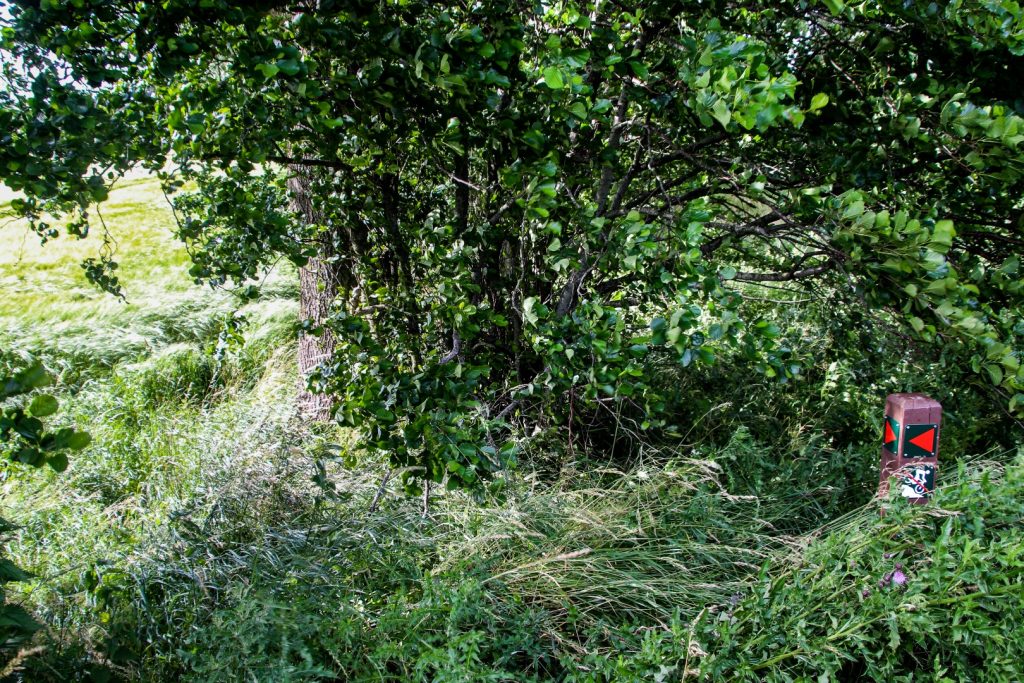
After our little wind turbine adventure, we said goodbye as they headed back to the car and I continued along the.. well, supposed path. Because after the wind turbines, the path became practically invisible and many of the signs were hidden in tall grass.
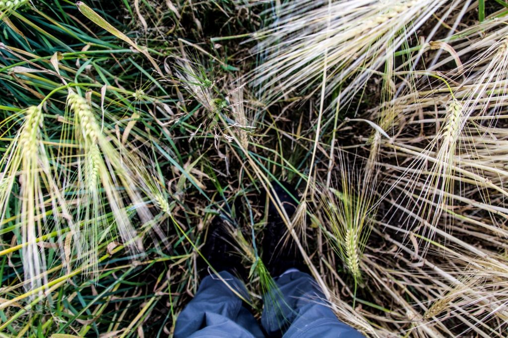
I managed to find the path after a while of searching and for the next 2,3 km I fought my way through tall grass, stinging nettles and thistles. Sometimes it was so difficult to get through that I had to walk in the outskirts of the fields while trying to be as careful as possible. I did – eventually – arrive in the town of Søvind, although much later than I’d hoped. That was definitely an adventure that gave me flashbacks to my off-trail adventure along Odder Å back in May!
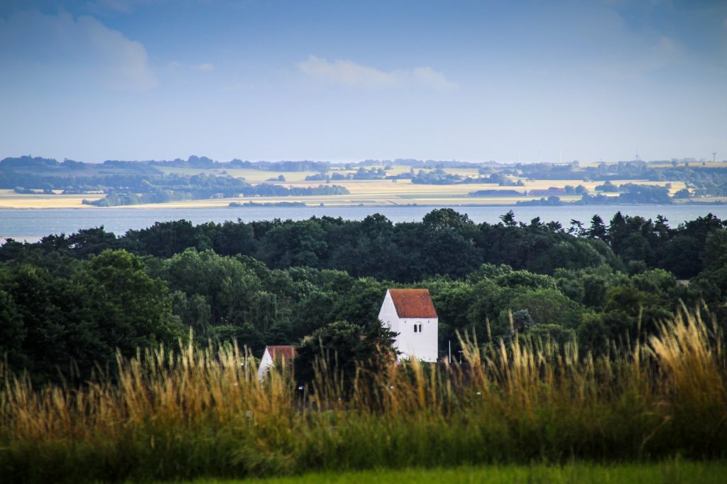
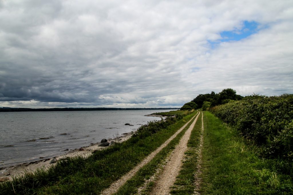
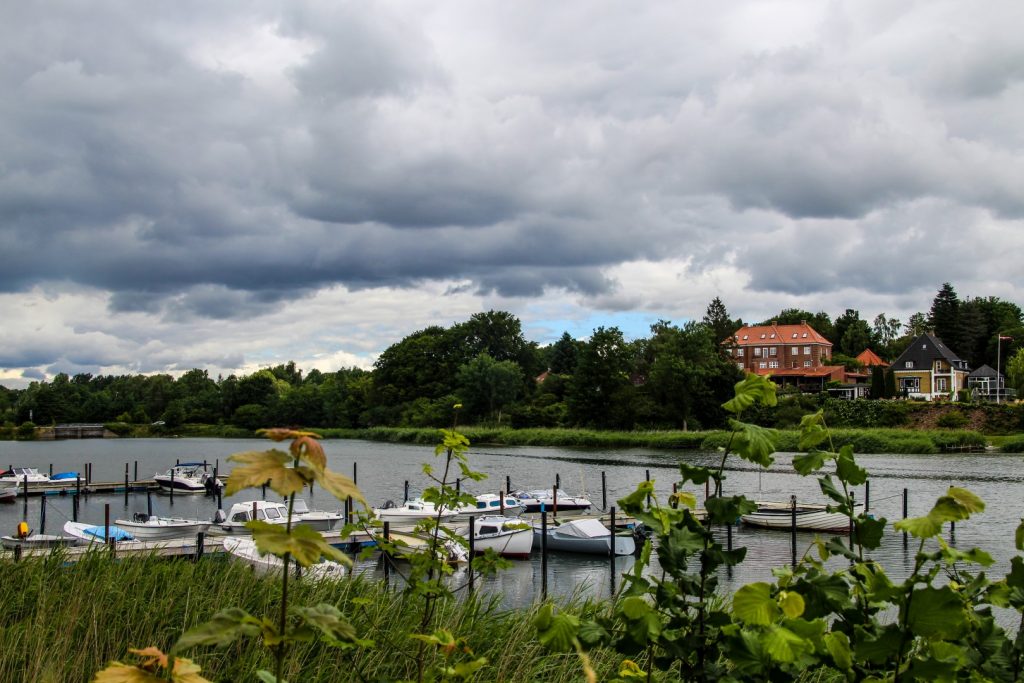
Alongside Horsens Fjord to Haldrup
When I finally reached Søvind, my legs were starting to get really tired. But I still had an hour to walk before getting to my b&b in Haldrup.
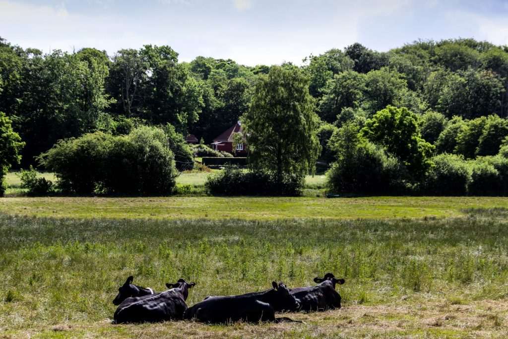
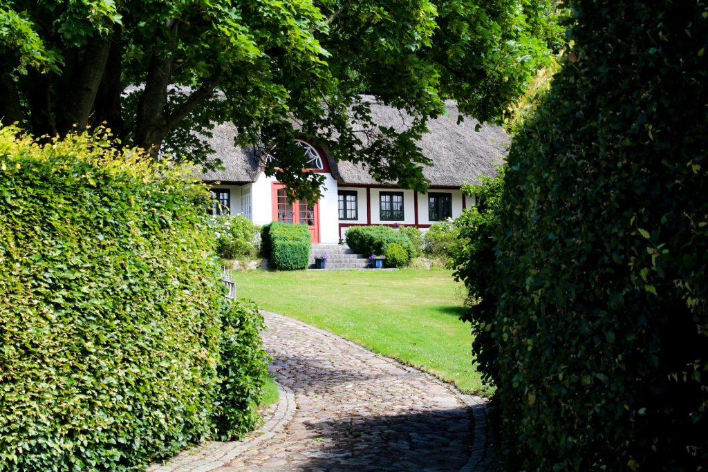
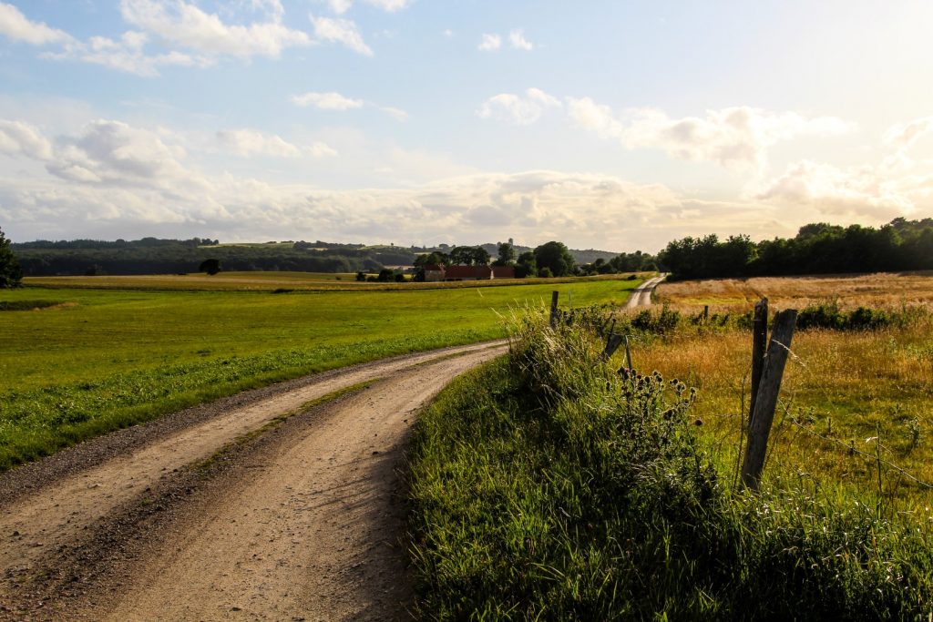
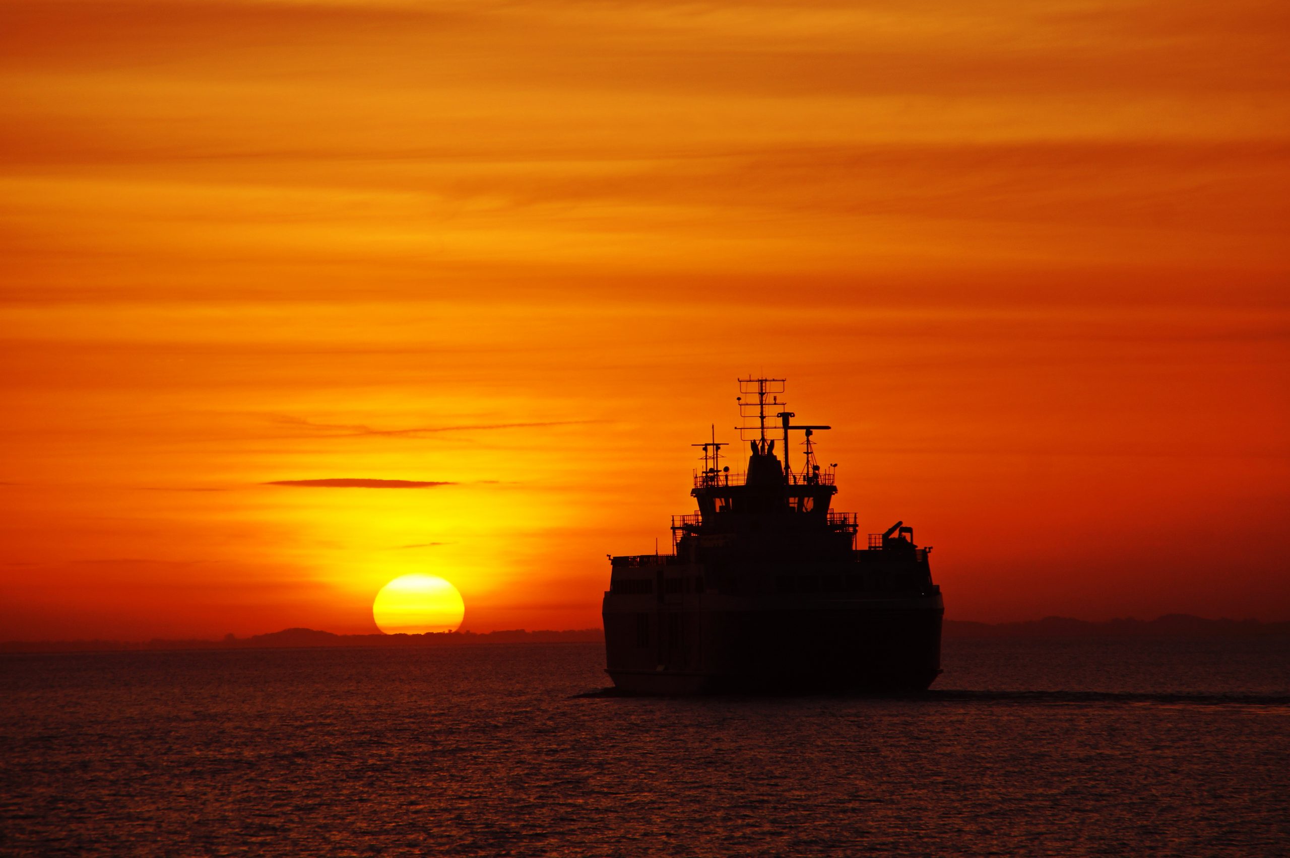
Thankfully, this stretch is particularly beautiful, enough to distract my thoughts and keep me motivated. I hiked along hilly dirt roads that took me down to the fjord with amazing views of the island of Vorsø. I passed beautiful half-timbered cottages and fields with colourful wildflowers, all bathed in the soft light of golden hour.
This section is called Husoddestien, a 13 km gravel path that runs along the northern shore of the fjord, all the way from Søvind to Horsens. I cycled this part of the route back in June, and I was glad that I got to return to hike it. The lush greens of June had already disappeared and given way to golden autumn colours. I guess nature is just as confused as we are this year since our summer feels more like autumn.
Overnight in a cozy b&b in Haldrup
I arrived in Haldrup just past 8 PM, ten hours after I’d left Odder. That’s pretty slow for 25 km, but I did take many breaks along the route including the involuntary shelter refuge from the downpour in Ørting Mose.
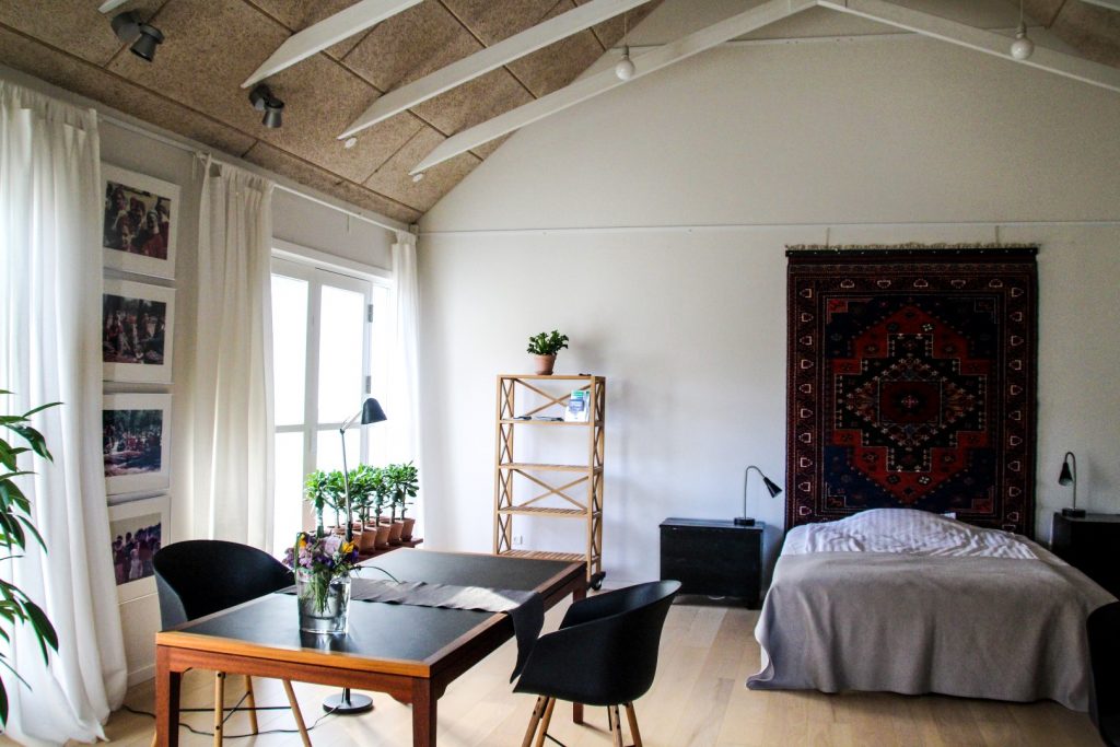
I was staying overnight in Haldrup Bed and Breakfast where Birte, Bent and their son Niels awaited me with delicious dhal and local strawberries for dessert. We shared a cozy evening with stories from their active lives that has taken them on hiking adventures in Norway and a fairytale journey to Bhutan.
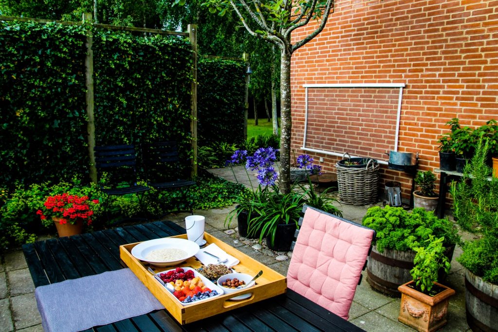
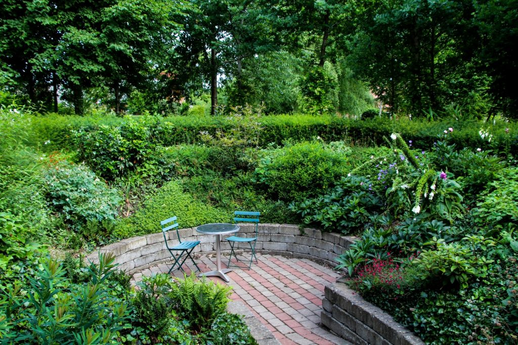
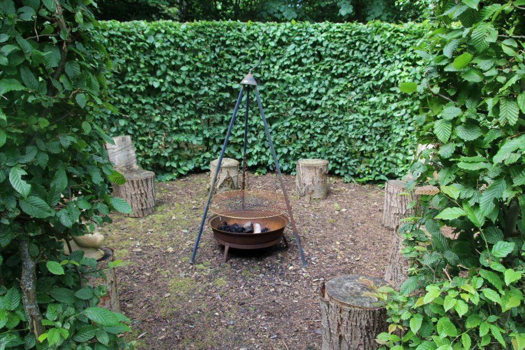
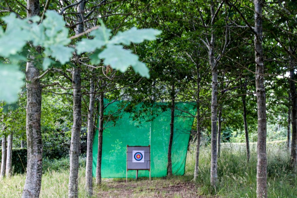
After dinner, I went to sleep in my room full of Turkish carpets and photographs from their world travels. I had a good night’s sleep and woke up to breakfast on the sun-kissed terrace. The b&b doesn’t just offer a big and bright room and delicious food, it also comes with an enormous garden – one of the biggest I’ve ever seen – which is free to explore. I was in awe at all the elements in the garden which includes a lookout tower and archery!
Through Stensballe Forest to Troensø
I had 11 km left to hike before arriving in Horsens which didn’t seem like a lot apart from the fact that my legs were still heavy. I set off from Haldrup at 10.30 AM along a small footpath that runs parallel to Husoddestien.
It wasn’t long until I joined back onto Husoddestien which took me in through Stensballe Forest. I listened to the soothing sounds of nature and tried to forget that my legs still hadn’t recovered from yesterday’s 25 km.
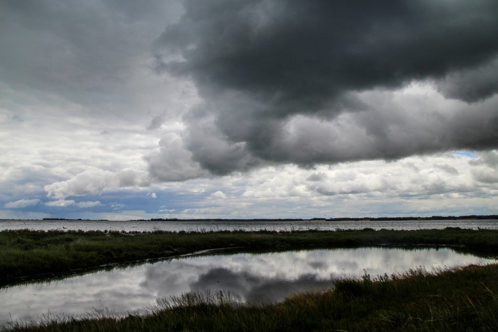
This section of the route is by far the most popular. For the first time since I left Odder, I was joined by joggers, hikers and cyclists. It started raining a bit, but it didn’t last long although the dark clouds hardly ever gave way to the sun.
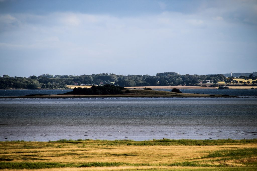
I arrived at Troensø, a newly-formed island which recently evolved into a peninsula. There, I had my first break and enjoyed my lunch while gazing out at Horsens Fjord and the landscapes on its southern coast.
The last stretch to the finish line
I went back into the forest and followed the shoreline where the speed on the old railway was down to 10-15 km/h towards the end of its life as the slope slowly slid out into the fjord.
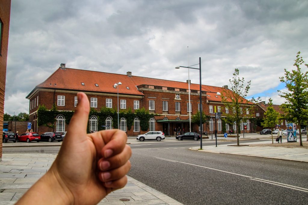
It wasn’t long until I reached Stensballe, the easternmost suburb of Horsens. Enormous villas came into sight and I was beginning to see the end. Now I just had to follow the path to the harbour and make my way to Horsens Station.
The marked trail of Banestien ended at Næsset, so I just chose the quickest route to get to the station from there. At 1.30 pm, I stood in front of the station. I’d made it! 36,3 km from Odder to Horsens, along some of the most beautiful landscapes in the region. My legs were relieved although I was sad to see the end of the trek. It had been a wonderful experience, one I hope to inspire others to have!
Interested in hiking Banestien? Look no further!
DESCRIPTION OF THE ROUTE (ODDER-HORSENS):
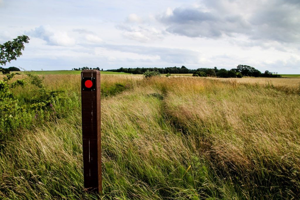
- Walk out of Odder along the main road towards Horsens, following the red poles on the left-hand side of the road.
- Turn left at the sign for Randlev, walk a few hundred meters and then turn right onto the gravel road, entering Randlev Mose. Follow the red poles past the village of Drammelsbæk.
- Continue along the gravel road until you reach a small footpath. Follow the footpath.
- You’ll come out at the main road which you cross and join onto another gravel road a few meters to the right. Enter Ørting Mose.
- Follow the red poles along Mosevej until you reach its end.
- Turn right onto Halen, yet another gravel road, until you get to the main road, Bilsbækvej.
- Turn right and follow Bilsbækvej until the road starts descending.
- Turn right onto the Åkjær-Hundslund Nature Path and continue along the entire stretch. Two roads cross the path, but simply cross over and continue along the nature path.
- When you get to Hundslund, continue straight along Guldagervej. When it ends, cross over Langgade and join onto Søvind-Hundslund School Path.
- After about 1 km, you’ll reach a road. Turn left and follow the road until you see the red pole to your right (it’s a bit hidden; it’s located just before you reach a cottage on the right-hand side).
- Follow the narrow footpath to the two large wind turbines.
- Just before you get to the second wind turbine, you should be able to see a sign that leads to another footpath (it was very overgrown when I was there, but it’s located in the corner of the little forest).
- Follow the red poles along the overgrown trail for several km. When you reach a gravel road, continue straight across it and join back onto the trail that will take you to Søvind.
- Follow the road past the school to Ravnebjerget. Cross over and walk a few meters to the right, where you’ll join onto another path.
- Follow the path until it ends, then turn left onto another path that will take you to Toftumvej.
- Turn left onto Toftumvej and right onto Oddervej. Follow Oddervej for 200 meters until you see Haldrupvej on your left-hand side.
- Follow Haldrupvej, which makes a turn and becomes Havmarken and later Bavnen. This road takes you to the village of Haldrup.
- When you get to Troldumhøjvej, cross it and join onto a gravel path. Continue along the path into Stensballe Forest.
- When you come to a crossroad, turn left and follow the path down to the fjord. Continue along the path following the shore all the way to Stensballe, Næsset and Horsens.
- The route between Næsset and Horsens Station isn’t marked, but you can follow the main road Strandpromenaden, which becomes Niels Gyldings Gade and later Bygholm Parkvej. Turn right when you get to the bridge at Claus Cortsens Gade and then left onto Løvenørnsgade, which will lead you to the station.
LENGTH AND TIME: The trail is 36,3 km, which can be done in a (long) day, but I suggest spending two days doing it – or doing small sections of the hike over a longer period if you’re not used to hiking long distances.
HOW TO GET THERE: Odder and Horsens are well connected by trains and busses from all over the country. There are also busses to the other villages and towns along the route, if you wish to shorten the journey. See the times for transportation here.
ACCOMMODATION ALONG THE ROUTE: A quick search on airbnb reveals options in Søvind, Haldrup and Stensballe. I personally recommend the b&b in Haldrup, which isn’t just a place to sleep, but an experience in itself. Read more about the b&b here.
EATING AND DRINKING ALONG THE ROUTE: There is a supermarket in Søvind and a small shop in Hundslund, but otherwise, you’ll need to bring your own foot. You can stock up on food in Odder or Horsens, depending on where you choose to start your journey.
↠ This trip was made in collaboration with Visit Odder and Visit Horsens, but all opinions expressed are solely my own ↞
Leave a Comment
Pingback: Traversing Lolland: A hike along the old railway from Rødbyhavn to Maribo – Northtrotter on 18/07/2020
Pingback: My July-August 2020: A summer adventure in Germany and the Alps – Northtrotter on 18/07/2020

2 COMMENTS