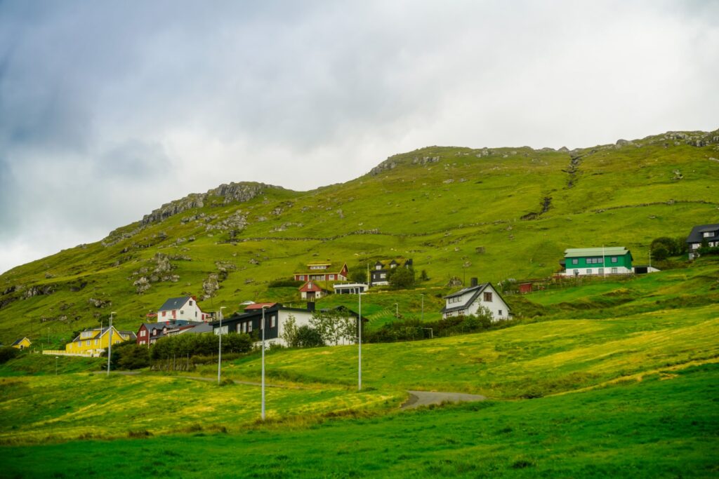
At the end of my summer trip to the Faroe Islands in 2022, I went on a hike with two friends and my younger brother, a hike I’d wanted to do for years. Ever since I accidentally took the wrong bus and ended up in Kaldbak, all by myself, back in March 2015. The mountains above the little village intrigued me, but I had somewhere to be and I was already late. So I just waited for the bus back and kept Kaldbak and its mysterious mountains in my mind until this cloudy summer day, when I finally went back to Kaldbak to make a little dream come true.
Kaldbak sits beneath two mountain peaks; Kaldbakskambur at 588 m. and Ritufelli at 499 m. Neither of the mountains are very steep, so we were in for an easy hike – at least until it was time to get back down!
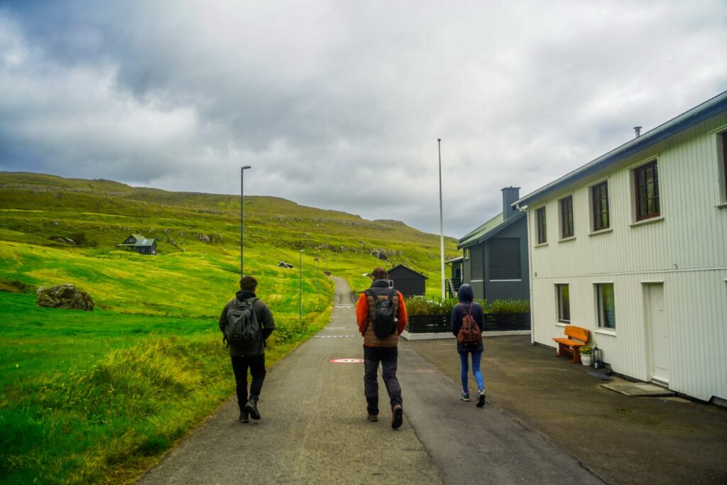
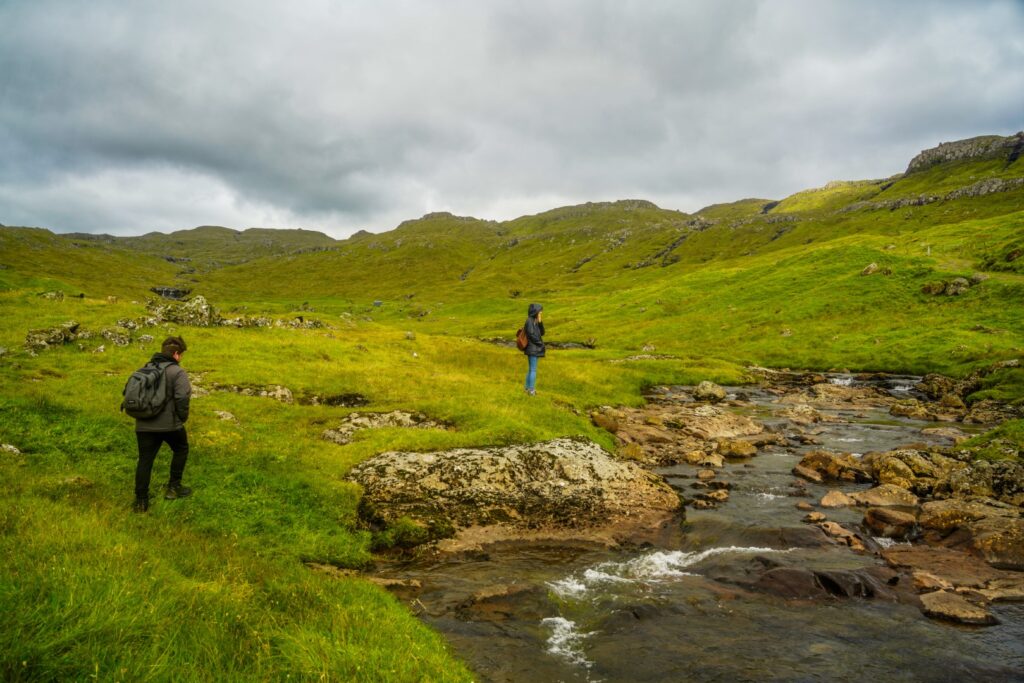
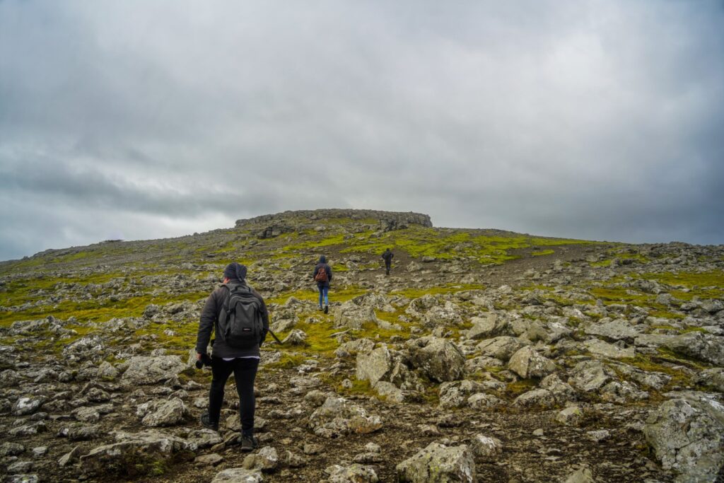
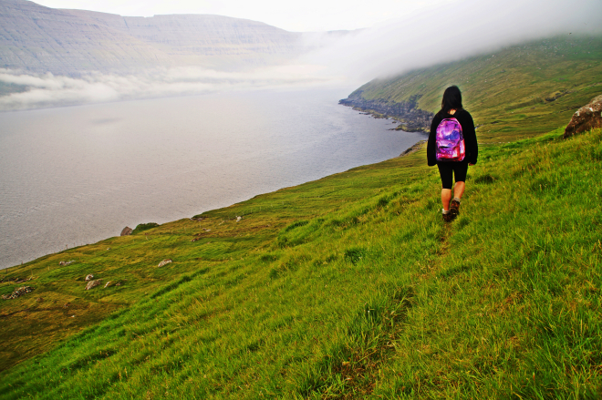
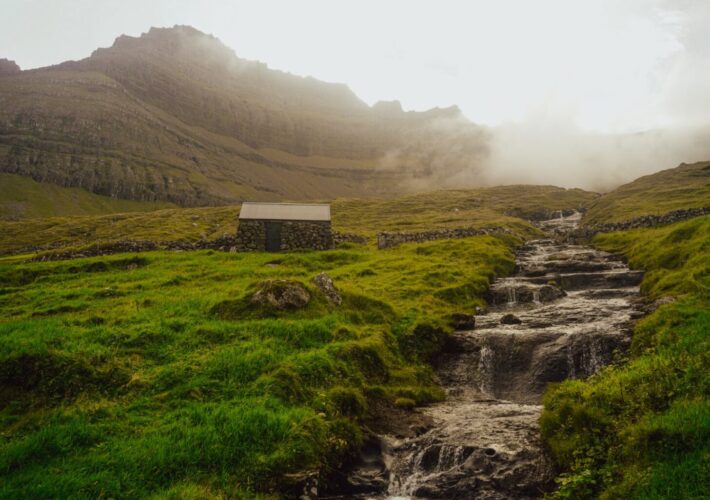
Our hike started with a little wander to the end of the village, and then we followed a remote road out of the village and towards the mountains. After a while, we came to a gravel road and a river that was a bit of a challenge to cross. The road soon disappeared, and we were left finding our own way in the Faroese wilderness. Luckily, getting lost in the Faroes is difficult to do (unless it’s foggy!), as there are no trees so you can almost always see where you’re going. So we just aimed for the first peak, Kaldbakskambur.
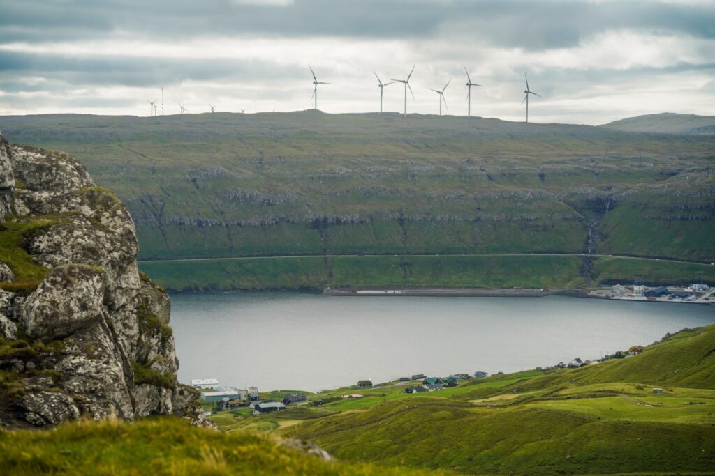
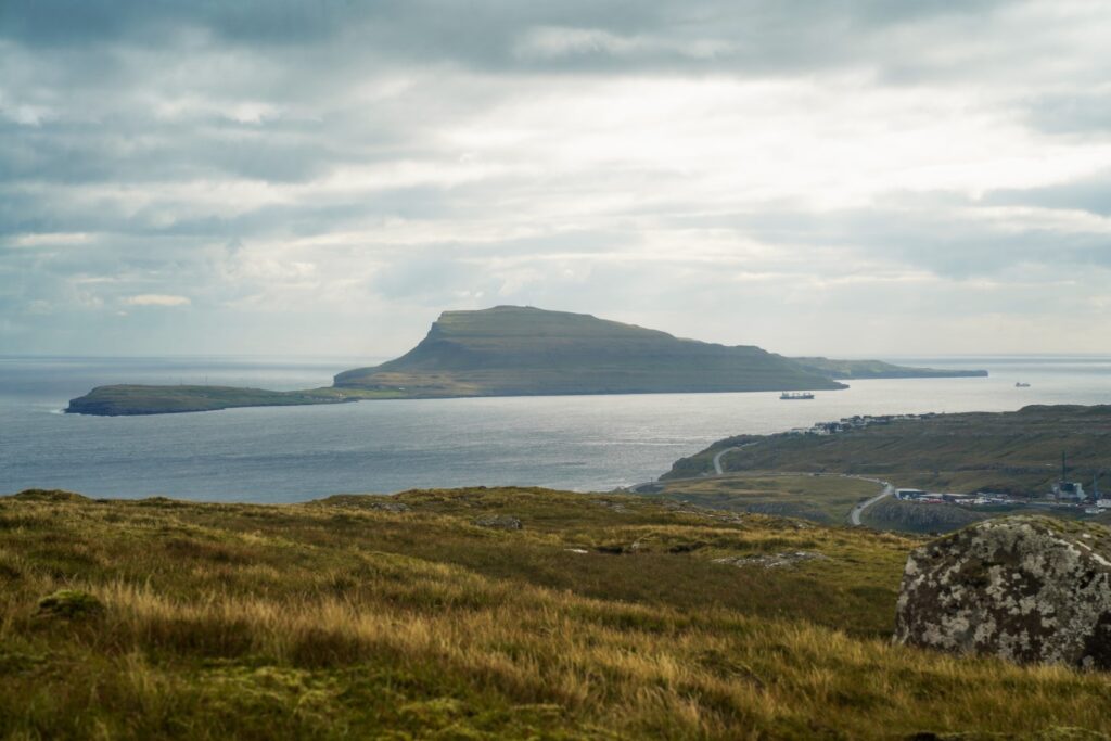
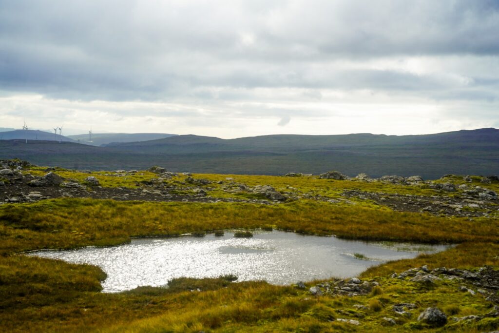
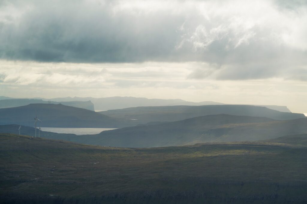
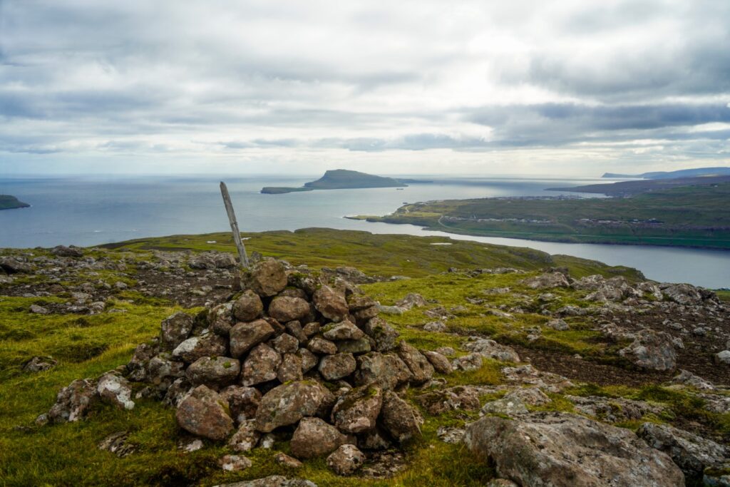
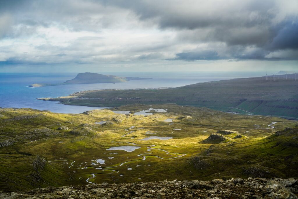
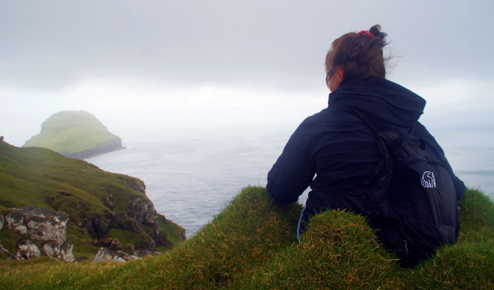
The climb up was a little steep, so we took it slow. We came past a small lake that looks heart-shaped on the map, but sadly not in reality. As we got further up the mountain, the island of Nólsoy and Tórshavn, the Faroese capital, came into view. Soon, we could also see the oddly-shaped island of Koltur in the distance!
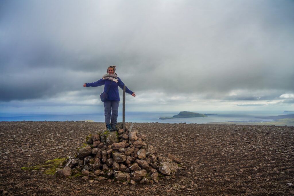
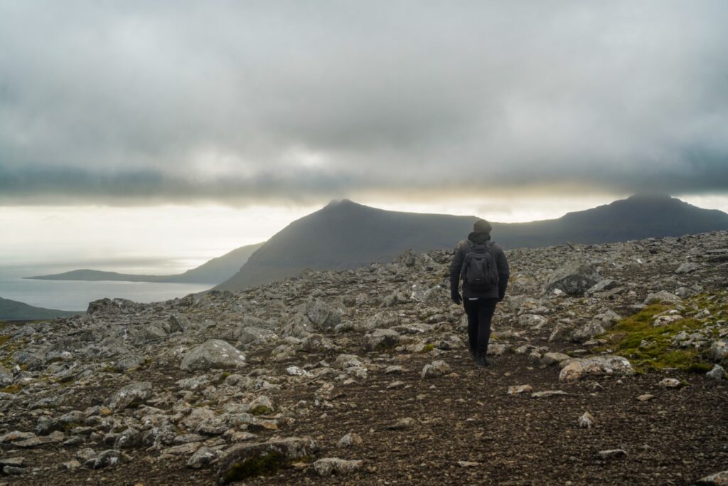
Three hours after we’d set off on the hike, we reached the summit of Kaldbakskambur and the highest point of the hike. From then on, the hike was easy as we mostly had to descend to reach the next mountain summit.
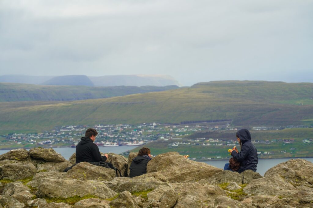
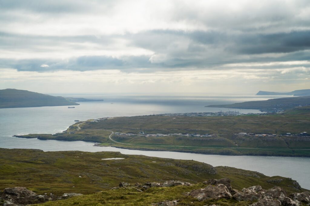
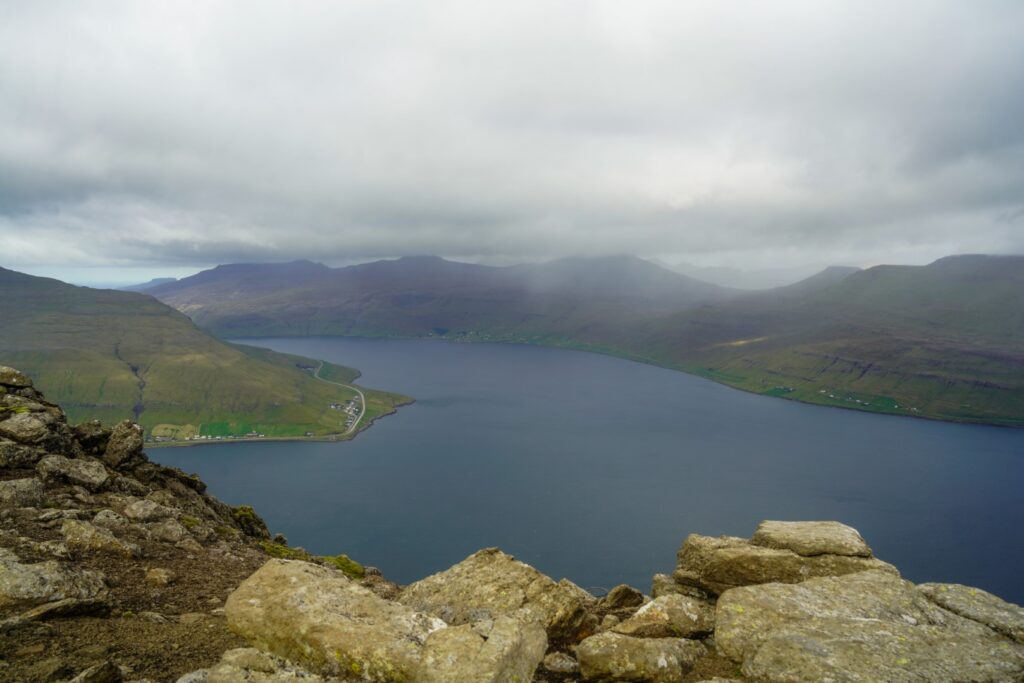
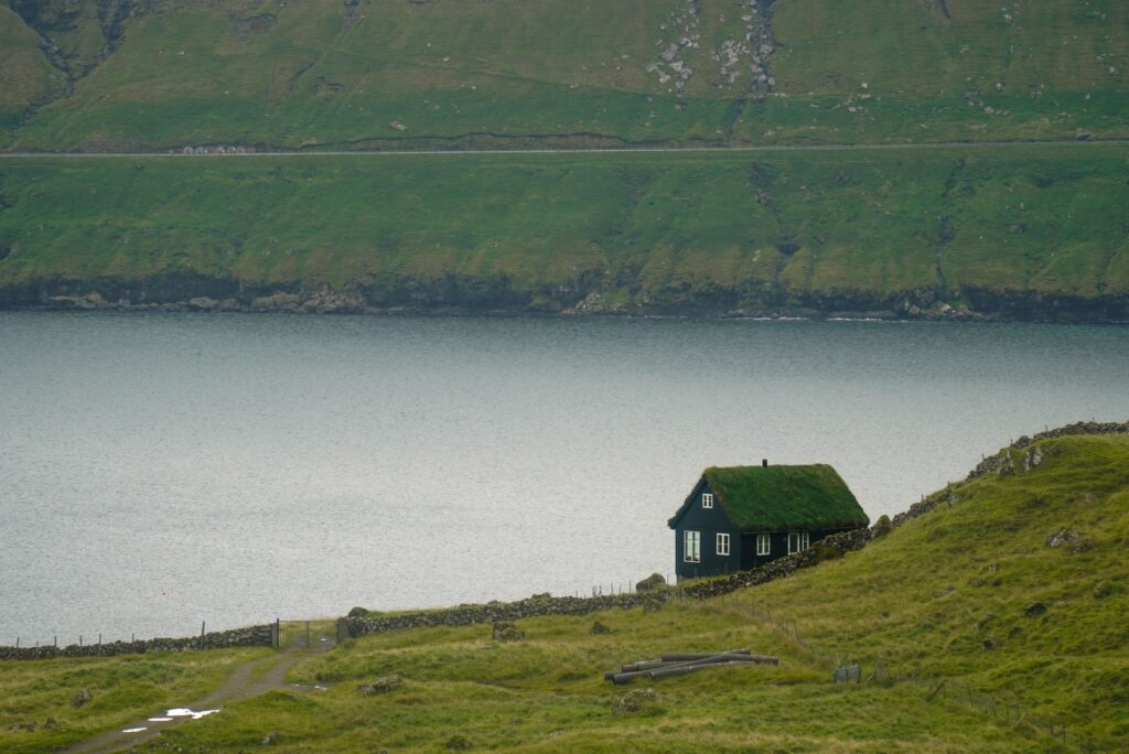
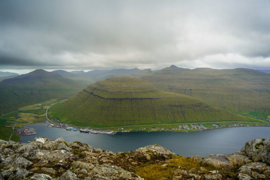
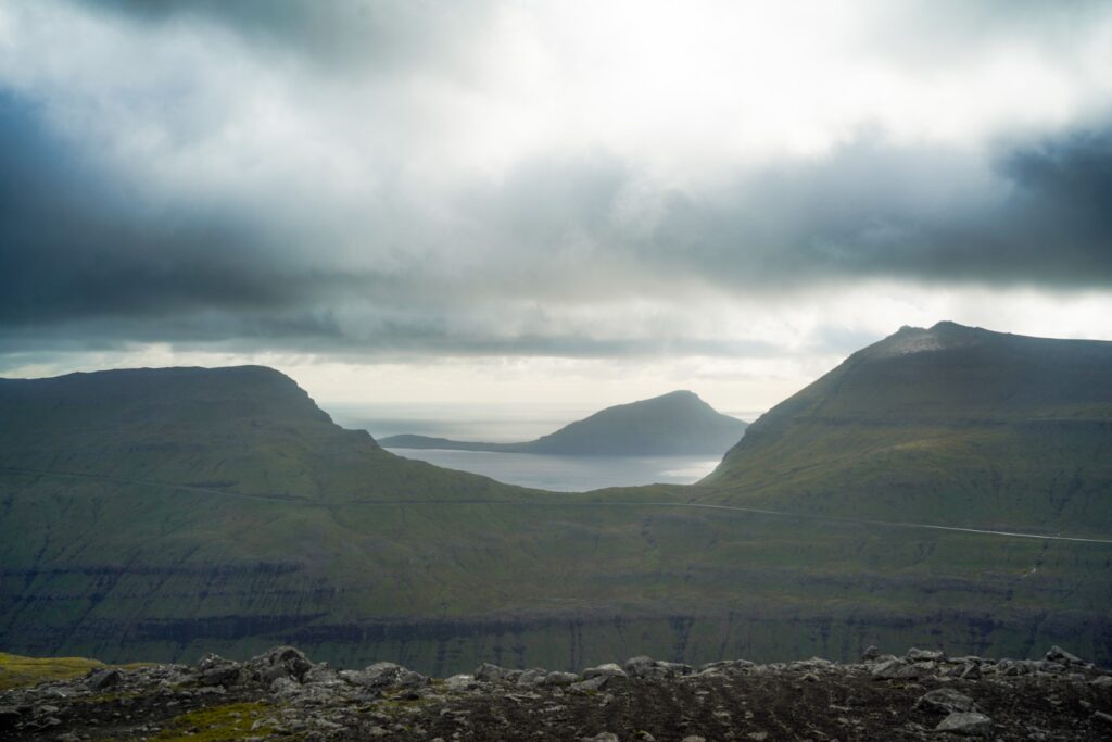
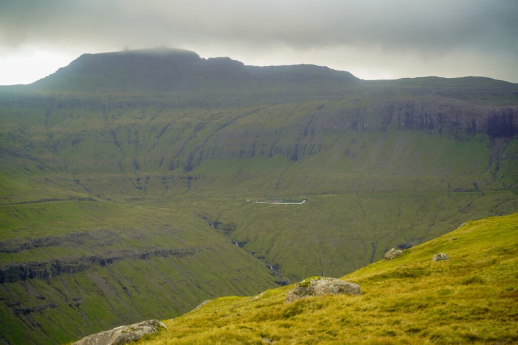
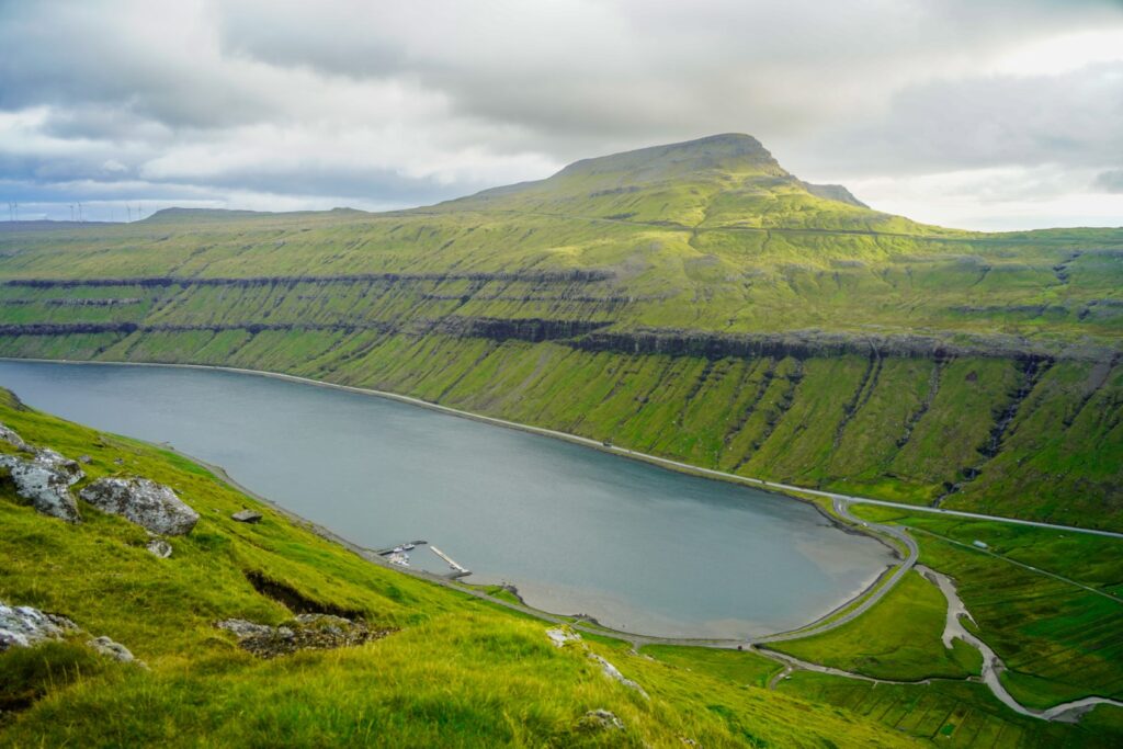
We came past a cairn from the trail between Kaldbak and Signabøur, another hike I’d like to do someday. The village of Kollafjørður came into view along with its four-kilometre long fjord. We soon came to the mountain pass, Ritufelshálsur, between the two summits, and then the short and gradual ascent towards Ritufelli began. We reached the summit an hour and a half after we’d reached the first summit!
Ritufelli was my 65th peak on the Faroe Islands. One day, I hope to bag all 340 of them!
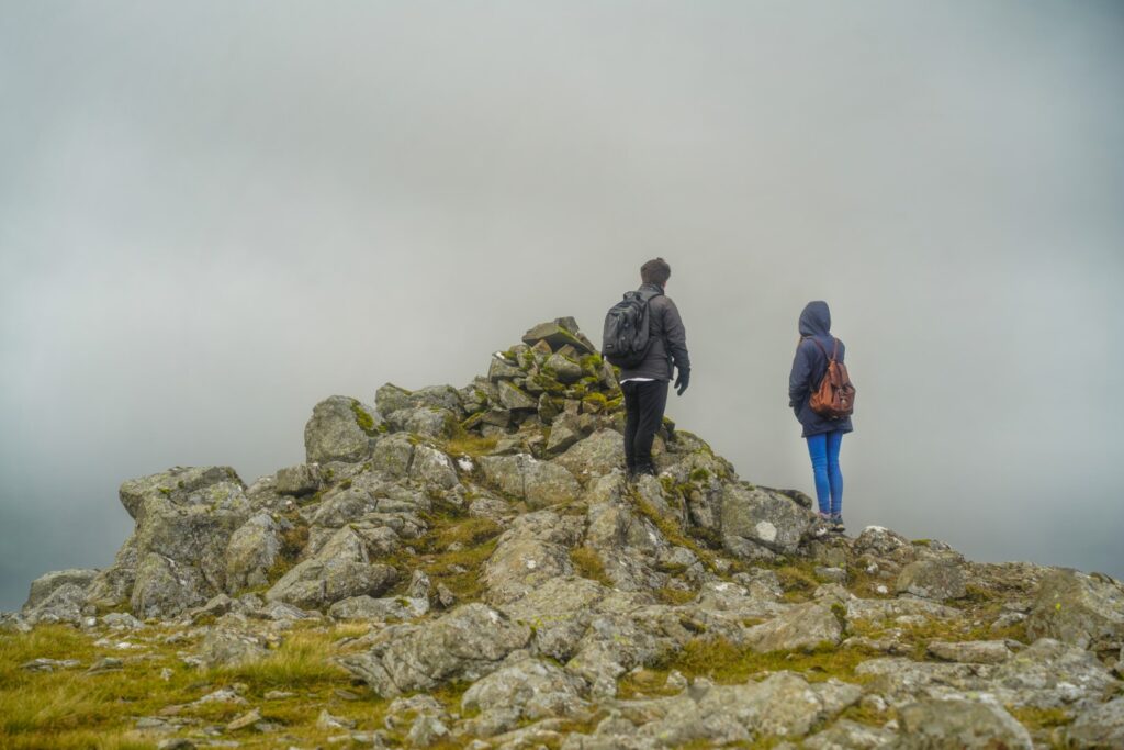
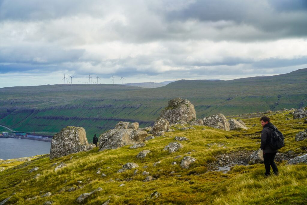
Then came the most difficult part of the hike when we had to find our way back down to the road. Going back the same way that we came up would’ve taken too long, so instead, we tried to go down near the village of Kaldbaksbotnur. What we didn’t realize was that the village sits below high vertical cliffs that are almost impossible to climb down…
We searched and searched for a good spot to come down, but it was very difficult. The cliffs were too steep and too wet. Eventually, we managed to find a place that didn’t look too treacherous. Slowly, one by one, we hoisted our bodies down and finally got to safe ground. In hindsight, we should’ve just hiked back to Kaldbak, but we were in a bit of a hurry as my brother had to catch a plane back home that same evening. Thankfully, it all worked out in the end, but this was definitely not an ideal way to end an otherwise easy hike!
Hiking route description: Kaldbakskambur and Ritufelli
The hike begins in Kaldbak on Streymoy. Follow the main road in Kaldbak to its end and then walk left up the road Við Á. After a while, you’ll come to a gate and a gravel road. Follow it and take the first right. You’ll come to a river which you’ll have to cross. Turn left shortly after. Go to the end of the gravel road and then find somewhere to cross the fence to your right where there’s no barbed wire.
Start climbing up, aiming for the first peak, Kaldbakskambur. The easiest way up is to follow the ridge on the right, past Múlin, a small peak below the summit, which you’ll see on your left. The ascent from there is very gradual. Once you reach the summit, you’re at the highest point on the hike.
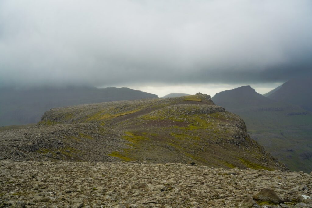
Start descending towards Ritufelli which is just southwest of Kaldbakskambur. Follow the ridge around the valley and then ascend to Ritufelli’s summit.
To get back to civilization, you can choose to try to climb down the cliffs to Kaldbaksbotnur like we did, but I wouldn’t recommend this. Instead, hike towards Kaldbak and go down there. I don’t think it’s necessary to take the same route back over the mountains, instead you can go down the valley and make your way to the village from there.
The hike is approximately 10 km, takes 5-6 hours and is of moderate difficulty.
Leave a Comment