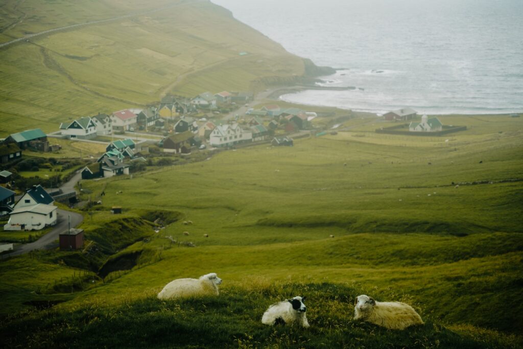
On a foggy day during our visit to the Faroe Islands in September 2022, my family and I took the ferry over to Sandoy, an island just south of the capital. Sandoy is the flattest island in the country, but flat doesn’t mean boring; it just means that the landscape is unique and offers much easier and more accessible hikes than the rest of the country. Oh, and Sandoy also has the best beaches in the country, hence its name!
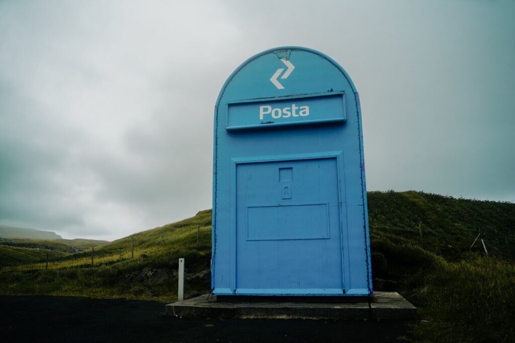
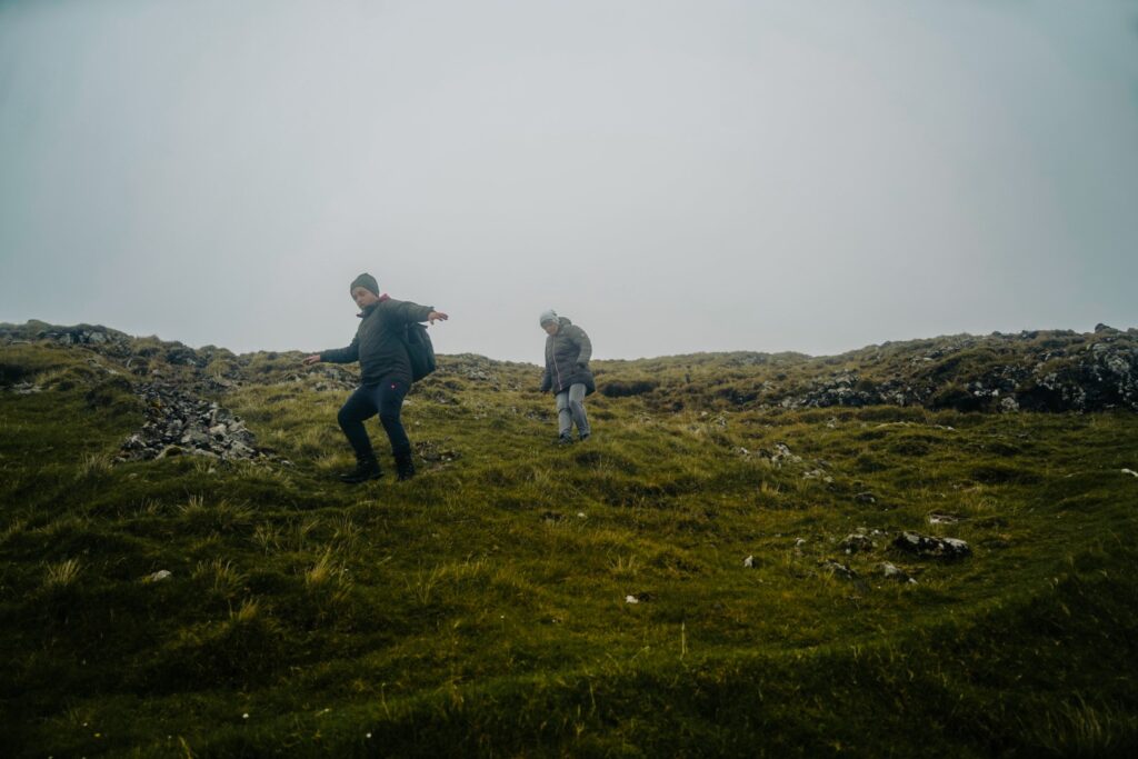
We spent the day roadtripping through the island, driving along every single road. We visited one of the largest letterboxes in the world in the village of Skopun. We drove out to Søltuvík to see a monument to the British steamer, Principia, which was shipwrecked after an autumn storm in 1895, leading to the deaths of 28 people and just one survivor who managed to stay alive for 14 hours on the sea before finally being rescued. We drove around the village of Sandur and took a quick detour to the small villages of Húsavík and Skálavík on the east coast. But the biggest adventure of the day was a hike between the two most beautiful villages on the island: following the old cairn trail from Skarvanes on the southwest coast to Dalur on the southeast coast. My mum, younger brother and I undertook the hike while my dad and grandmother drove around to meet us on the other side.
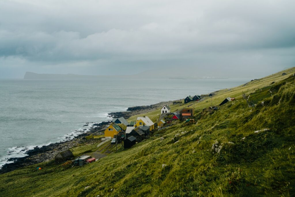
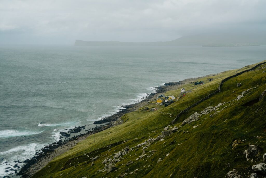
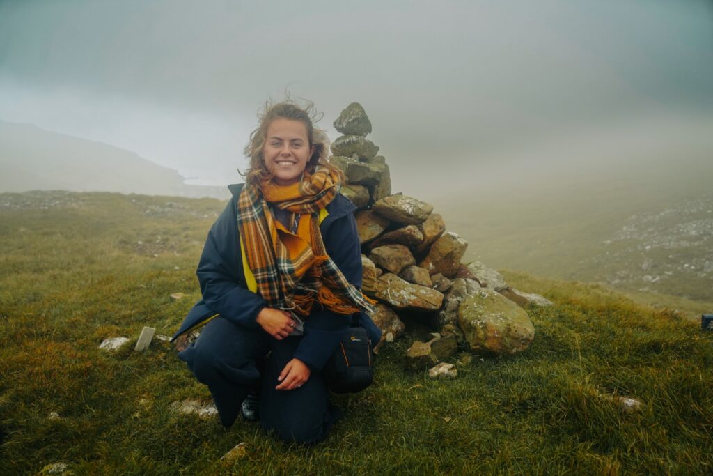
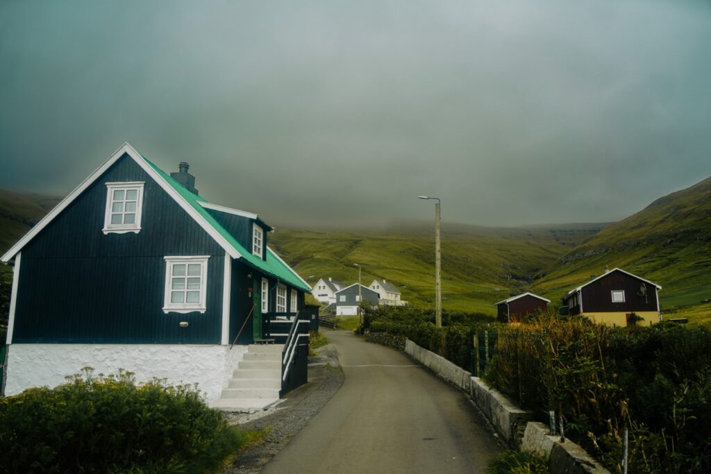
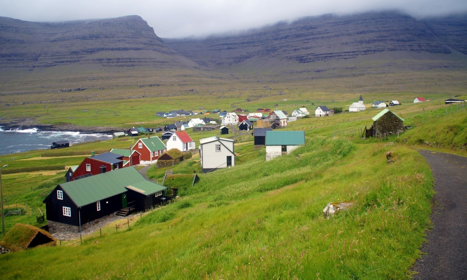
We started in the tiny village of Skarvanes, which is my favourite village on the island, home to just a few families. A friend of mine grew up there, and I can just imagine how amazing it must’ve been. Yes, the village is very isolated, but it’s super safe and the views are just breathtaking. I can’t imagine a better place to grow up.
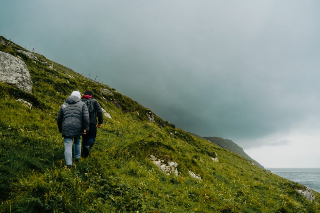
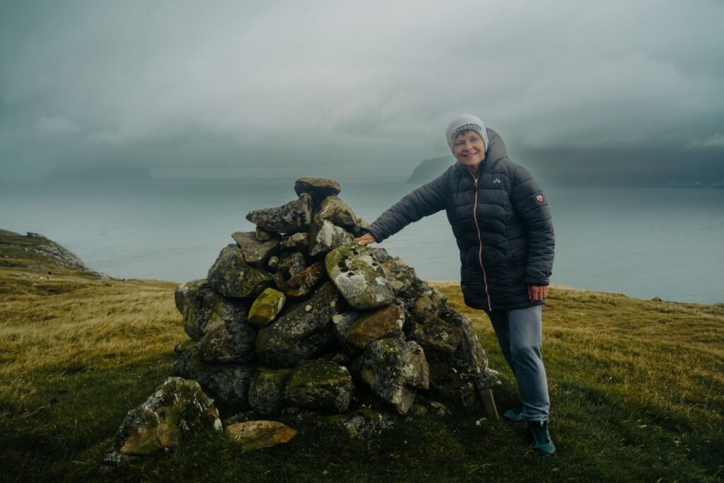
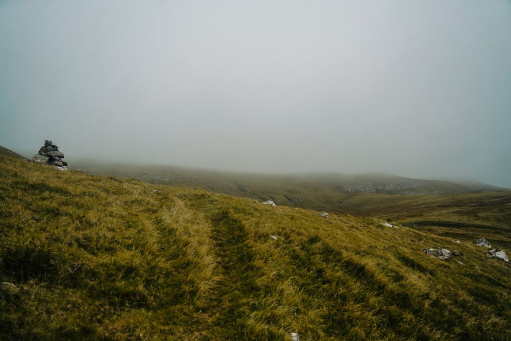
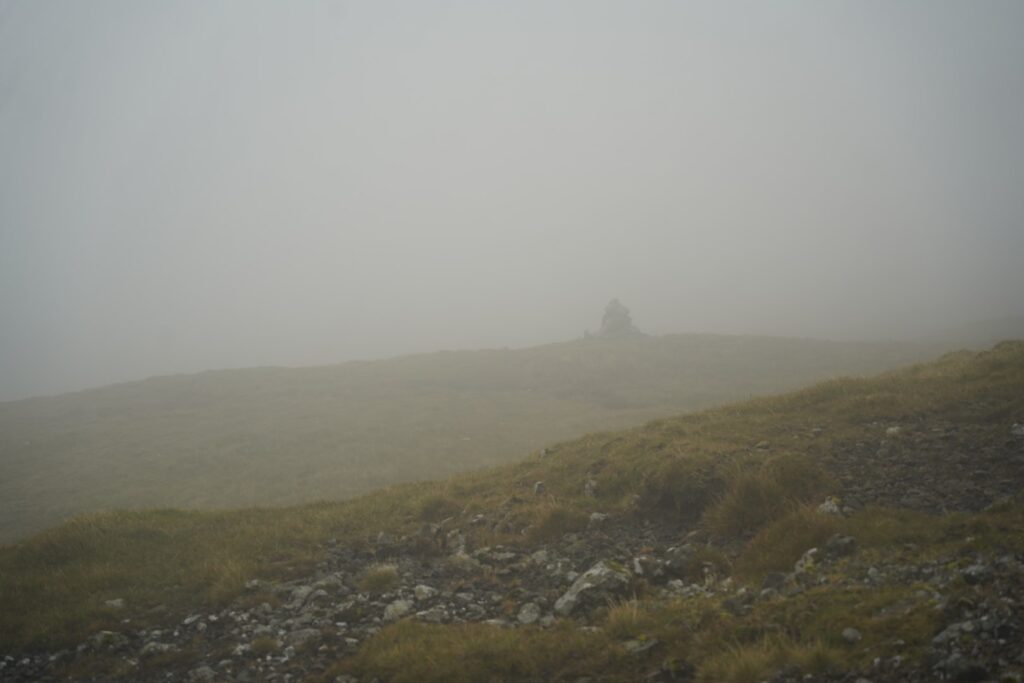
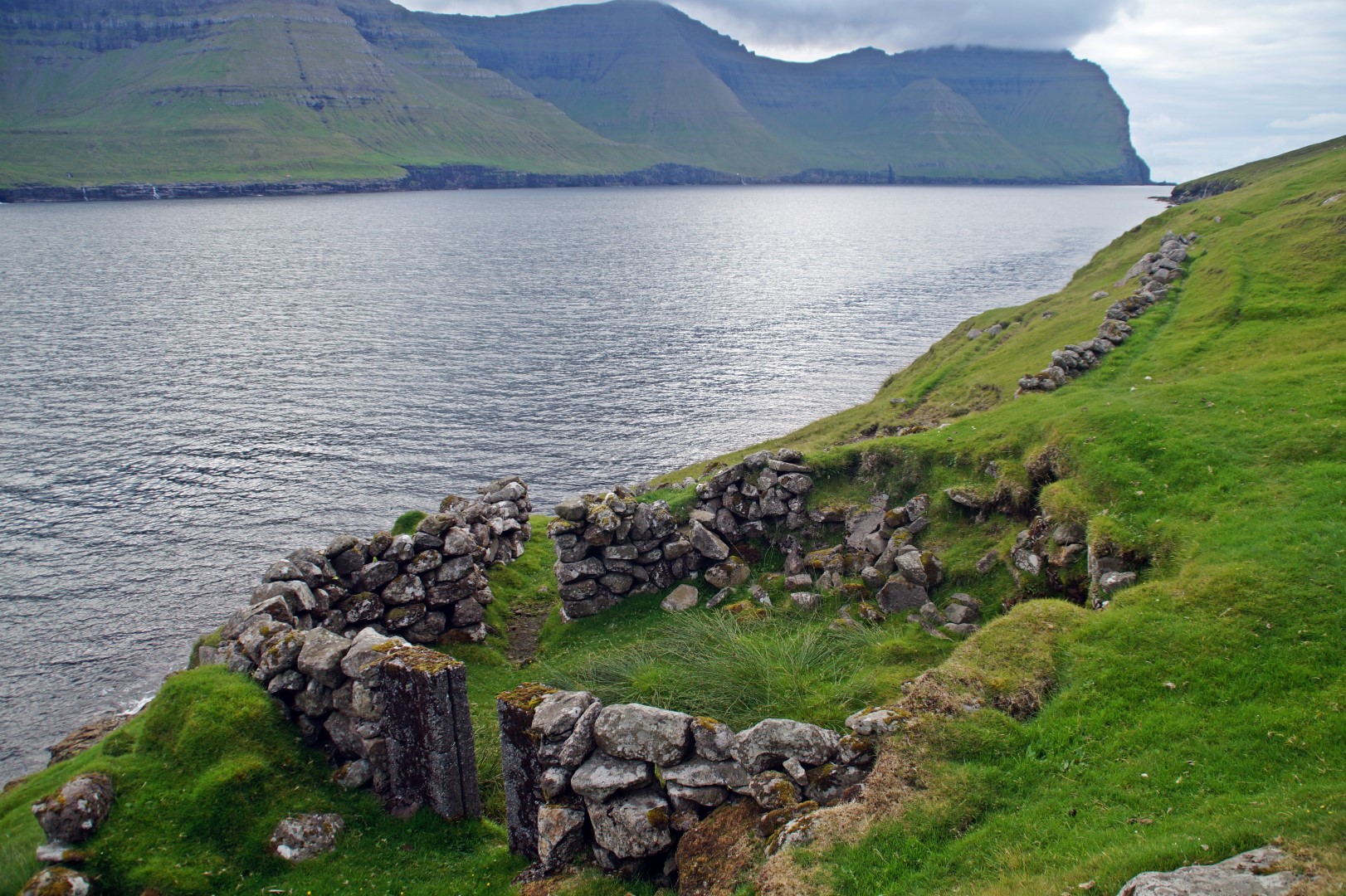
The first part of our hike was the hardest. We had a steep climb up from Skarvanes with beautiful views looking back to the village. The steep ascent continued to the first cairn, but it wasn’t long until the terrain flattened out and the ascent became gradually easier. Unfortunately, fog soon engulfed us, and we weren’t able to see the views I’m sure are incredible in clear weather. But we hiked on, following the side of the Vestfelli mountain (304 m.) and going from cairn to cairn which were thankfully visible despite the thick fog.
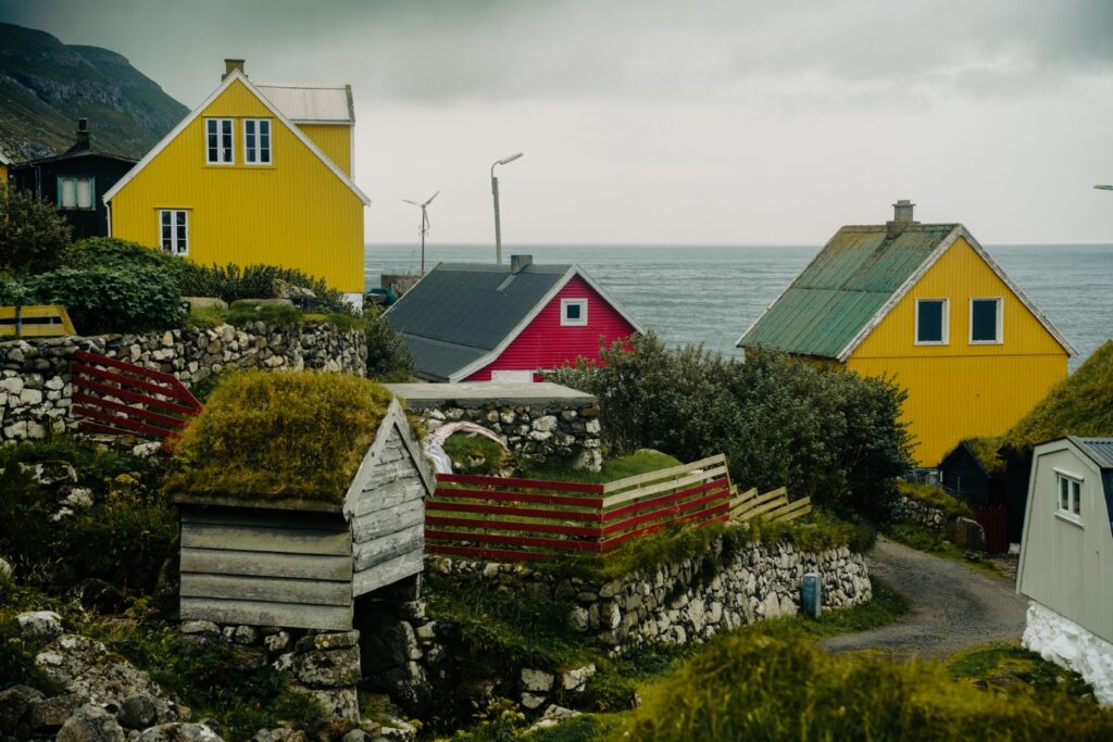
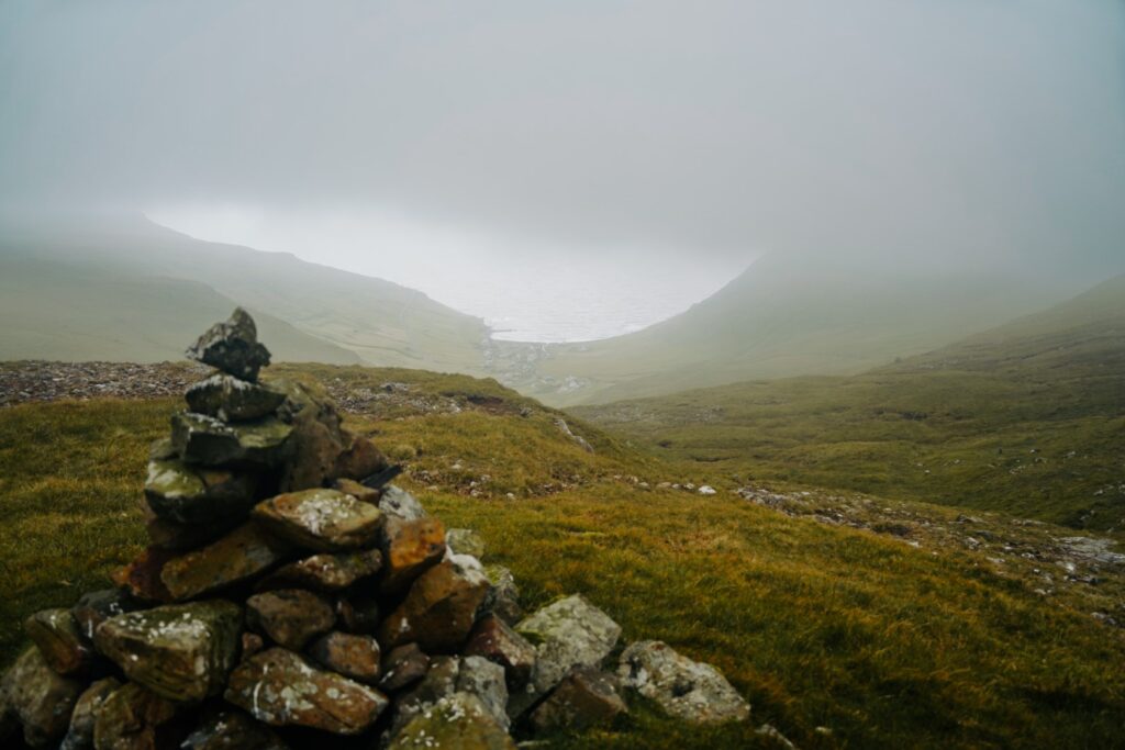
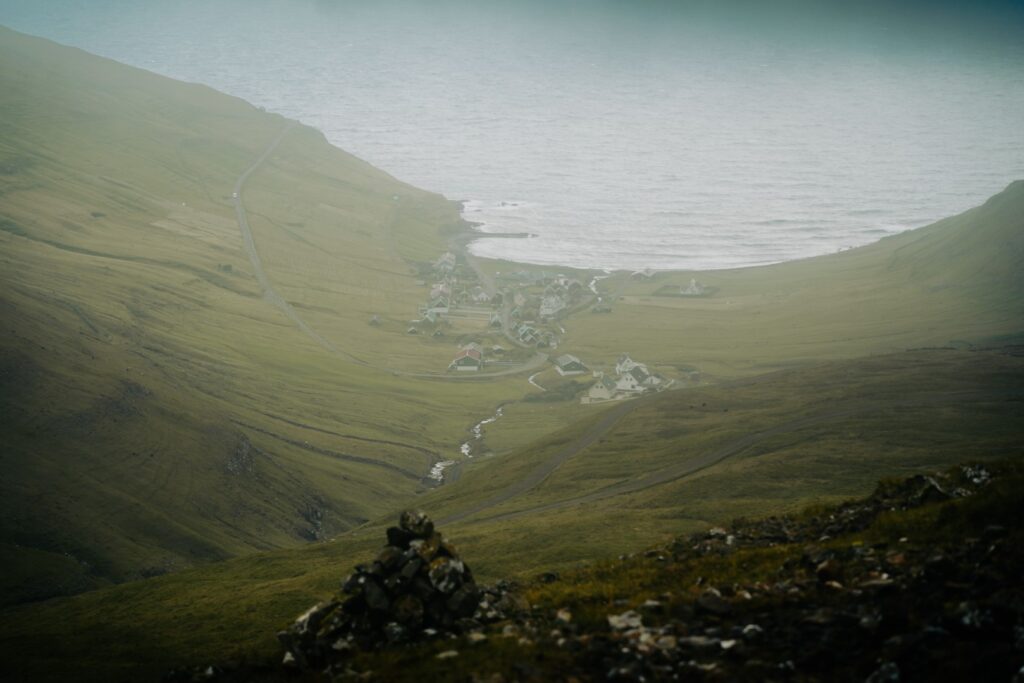
We came to another steep section before the landscape flattened out. Halfway through the hike, the gradual descent towards Dalur began. We hiked below the fog, and suddenly, the tiny village came into view below us. The last time I visited Dalur was in 2015, and I remember thinking it was the cutest little place, and I had the same exact feeling this time. I love how isolated it is, and its location at the edge of a deep valley is just incredible. After five kilometres and an hour and 45 minutes of hiking, we arrived in Dalur and were reunited with my dad and grandmother who were waiting for us by the harbour.
If you’re looking for a quick and relatively easy hike to do on your trip to Sandoy, this is a great option. It is a lot easier if you have someone pick you up on the other side, but you could also hitchhike back or hike back the same way you came!
Hiking route description: From Skarvanes to Dalur
You can begin the hike in either Skarvanes or Dalur. We started in Skarvanes, so I’ll be explaining the route from there, but if you start in Dalur, you can just reverse this description.
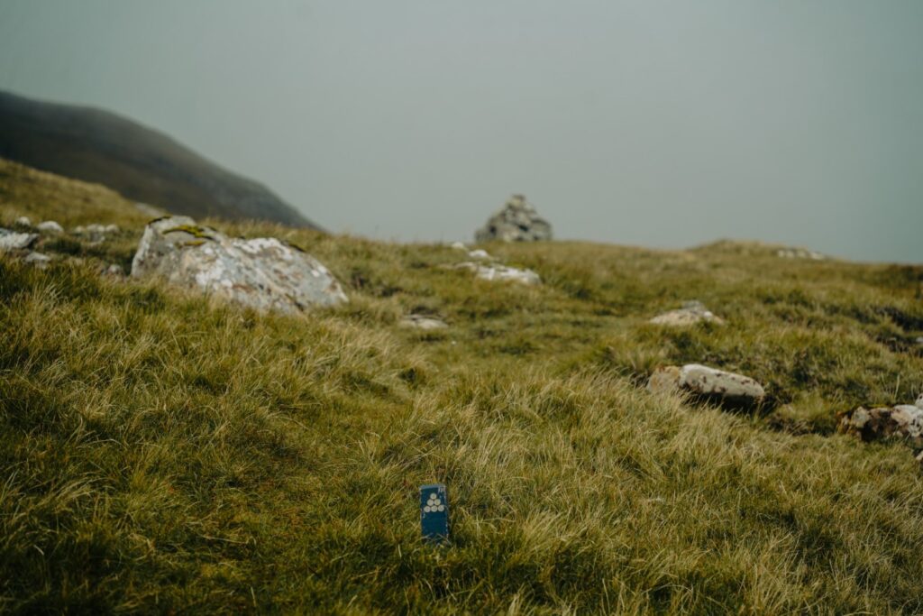
Take the upper road and head south out of the village. You’ll be following a gravel road for a little while, but it will soon disappear and turn into a trail. It can be hard to see the trail, but there are little blue wooden poles marking the hike the entire way – and occasionally also cairns. You’ll have to climb over a few fences along the way, using small wooden steps. Keep hiking up, and you’ll soon meet the first cairn, and shortly after, the ascent becomes easier and less steep until another short steep section comes. Then the landscape flattens out again, and the hike is easy from then on and until the end.
Keep following the wooden poles and cairns which are even visible in thick fog. Halfway through the hike, the descent towards Dalur begins. It’s gradual and easy. The village will soon come into view, and not long after, you’ll be on the gravel road taking you down to the little colourful houses.
The hike is 5 km, takes 1,5-2 hours to complete and is of moderate difficulty. The route is generally easy but with a steep ascent in the beginning.

Leave a Comment