On a sunny Sunday in mid-February, I met up with a friend for an early bus journey back to the Cairngorms, where I’d first hiked a week prior. I’d planned out a long yet relatively easy hike in the Cairngorms National Park which is easily accessible from Aberdeen, taking us to the beautiful Loch Muick, a large lake nestled below some of the highest munros in the area.
Arriving in the small village of Crathie at 10 AM, two hours after we’d set off from Aberdeen, we immediately set out on our hike, not wanting to waste any daylight. We already knew we wouldn’t be able to make it back before dusk, but we tried to limit the nighttime hiking as much as possible.
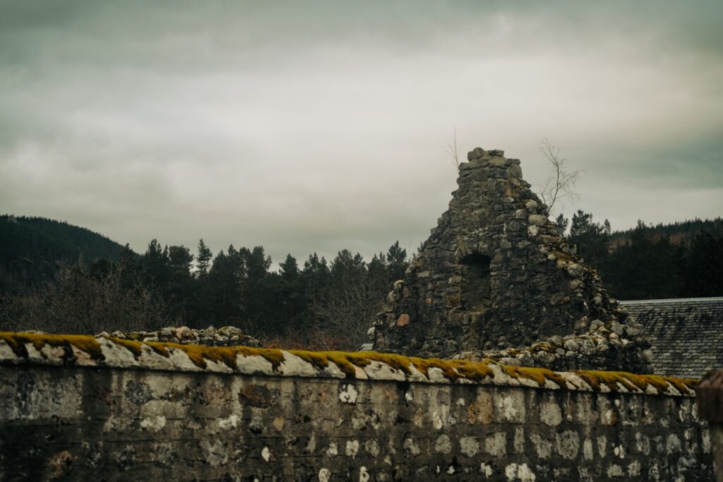
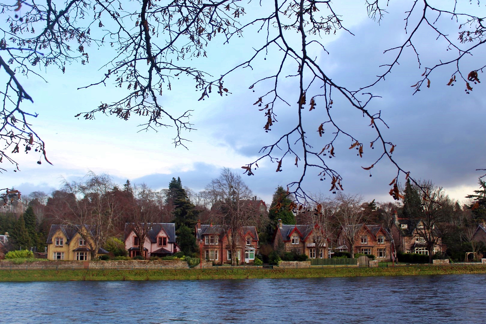
Making our way out of Crathie and into the wilderness, we came by the ruins of St. Manir’s Church, which was first mentioned in 1574 but may be even earlier in date. The graveyard includes the graves of employees of the nearby Balmoral Estate, including John Brown, who was the servant of Queen Victoria. In 1804, the church was closed and replaced by a smaller church in the north, which was also replaced at the end of the 19th century by a more elaborate church still in use today.
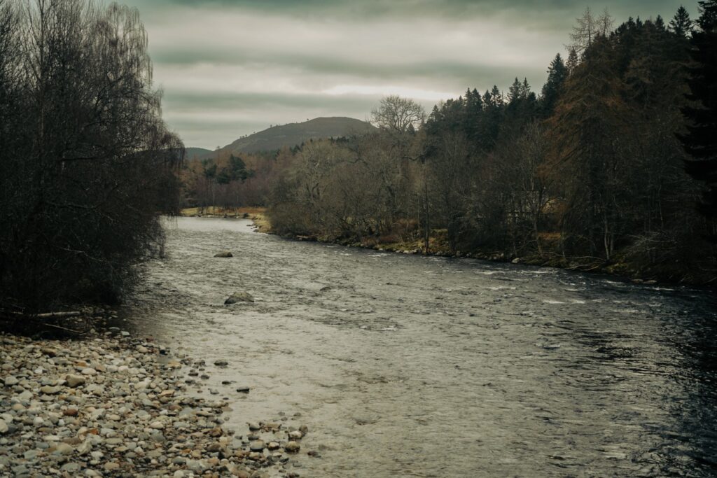
We crossed the river Dee and then set out on the first long stretch of paved country roads that gradually ascended; not the most interesting, but the scenery did begin to open up, revealing the breathtaking foothills of the Cairngorms. The light was beautiful from the get-go, the wind was mild and the air cool – perfect conditions for a long day of hiking!


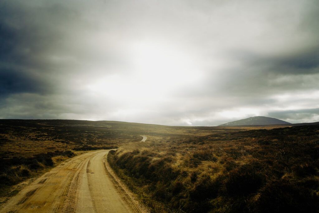
Eventually, we did join onto a “real” trail, but not for long. I didn’t actually realize beforehand that it’s possible to drive all the way out to Loch Muick – but oh well, at least we really got to take in the views by hiking there instead!
Upon approaching the Tom Bad a’Mhonaidh, a low mountain (a ‘Marilyn’) at 473 m., we decided to take a short detour to its summit since we were so close. It didn’t take us long, and we were rewarded with wonderful views of the landscape we’d hiked through and those we had yet to conquer.
It wasn’t long until we reached the next Marilyn, Meall Corm at 553 m., which my friend suggested we climb. I’m always up for bagging mountains, so of course I agreed. This detour was longer and harder, in fact we were surprised by how steep the ascent was to the summit. But as always, the views on top made it worth all the effort. That’s the great thing about hiking. You put in lots of effort, but you are always rewarded at the end!

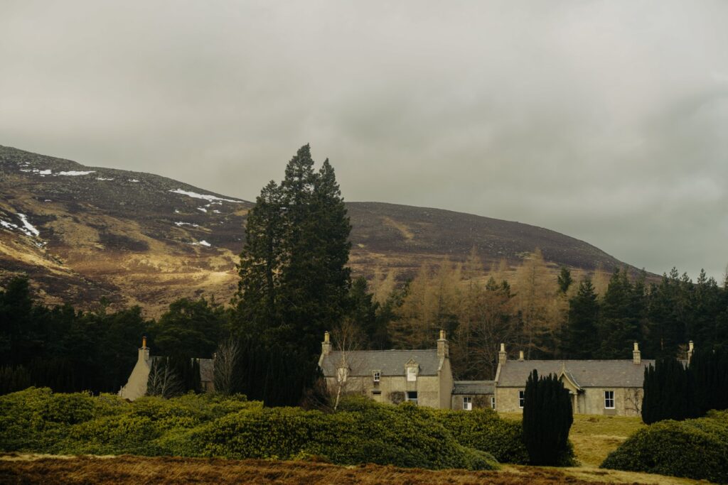
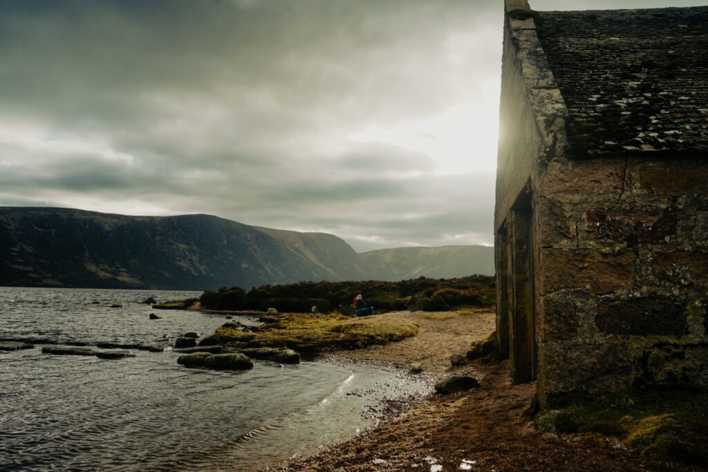
Back down on the gravel road, we soon reached a small forest and then came to the Allt-na-giubsaich or ‘the Queen’s Lodge’. This grand hunting lodge was visited by Queen Victoria and Prince Albert in the autumn of 1848. In the following year, they stayed overnight there, and Queen Victoria wrote; “the scenery is beautiful here, so wild and grand – real severe Highland scenery, with trees in the hollow. We had various scrambles in and out of the boat and along the shore, and saw three hawks, and caught seventy trout. I wish an artist could have been there to sketch the scene; it was picturesque – the boat, the net, and the people in their kilts in the water, and on the shore.” I think she describes the area perfectly.
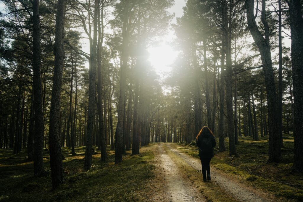
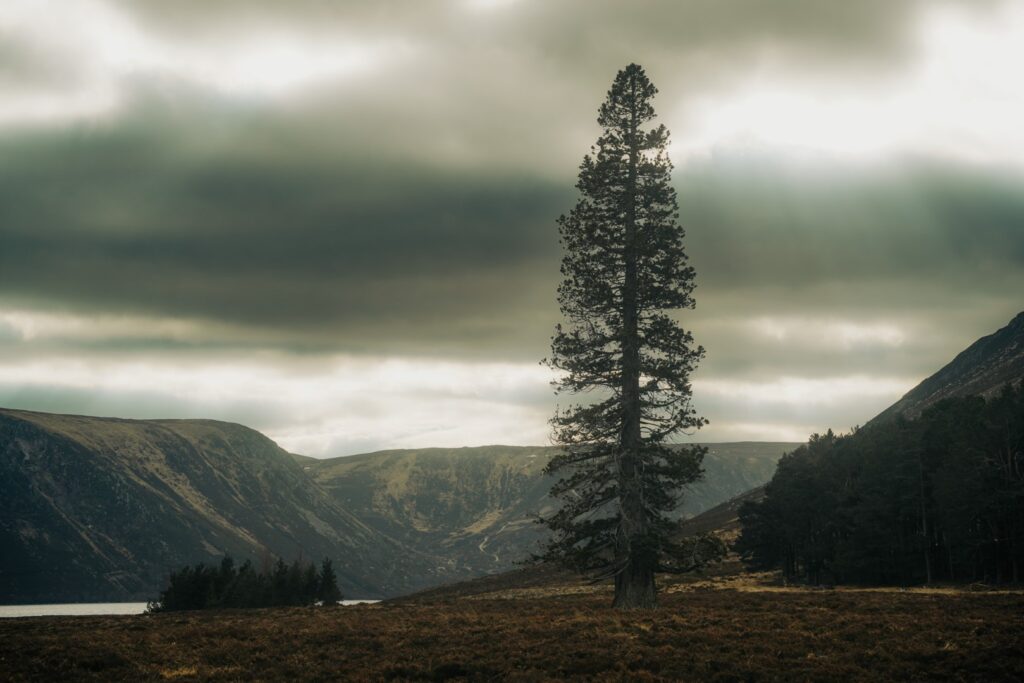
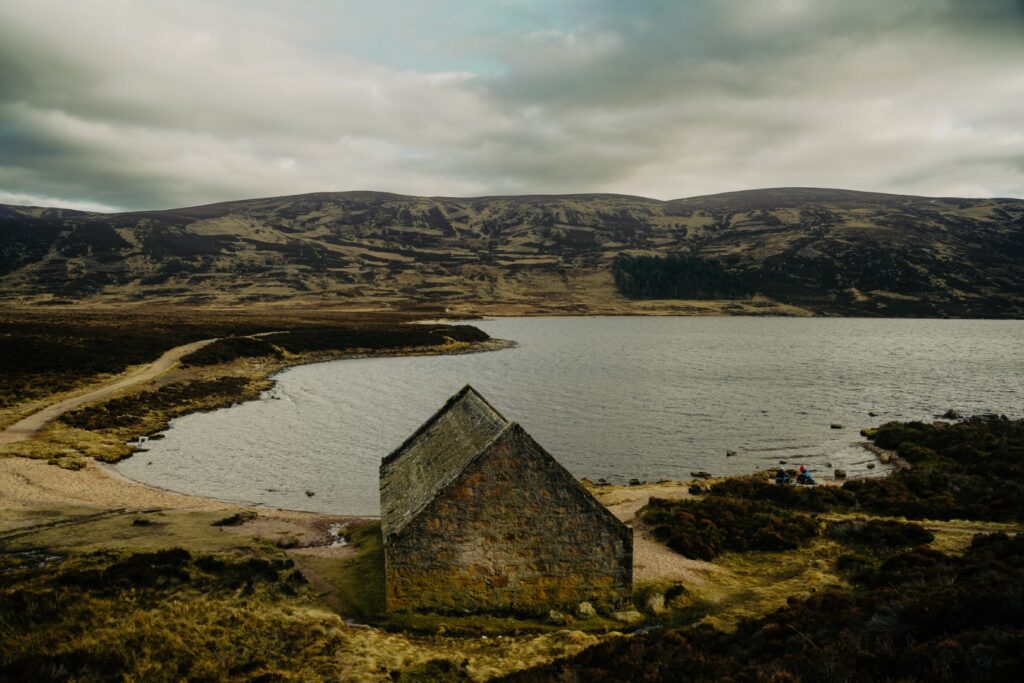
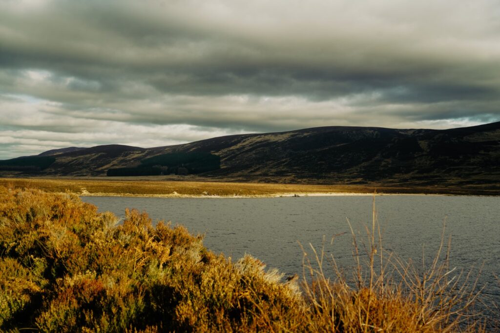
Reaching Loch Muick, we found a spot by the shore to enjoy a little break but it was quite cold and windy, so we didn’t linger long. Instead, we continued on our hike, following the shore of the lake. Wanting to take a different route back to Crathie, we continued almost to the end of the lake, then took a trail through a forest and up to the Falls of the Glasallt. I later learned that if we’d walked a few hundred metres further along the shore, we would’ve reached Glas-allt-Shiel, Queen Victoria’s old lodge which she called her “widow’s house” as she went there to heal after the death of her husband, Prince Albert.
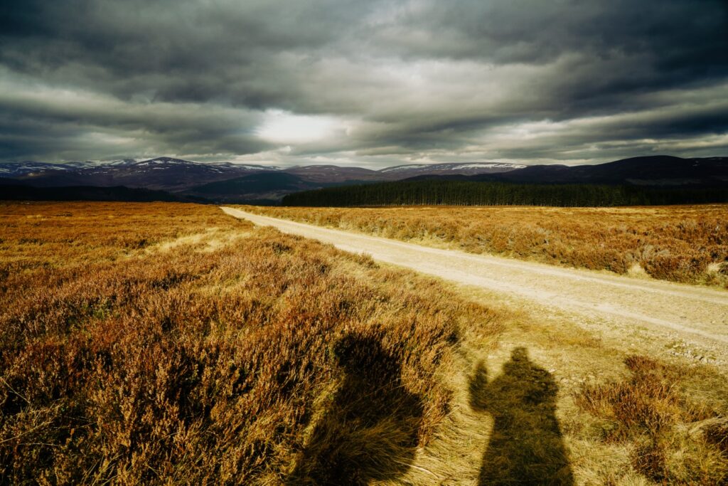
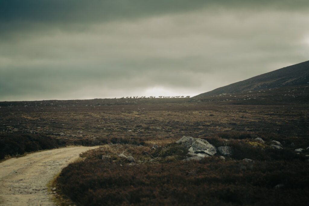
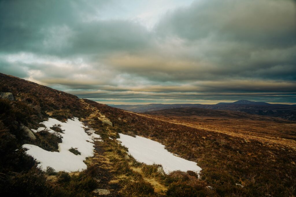
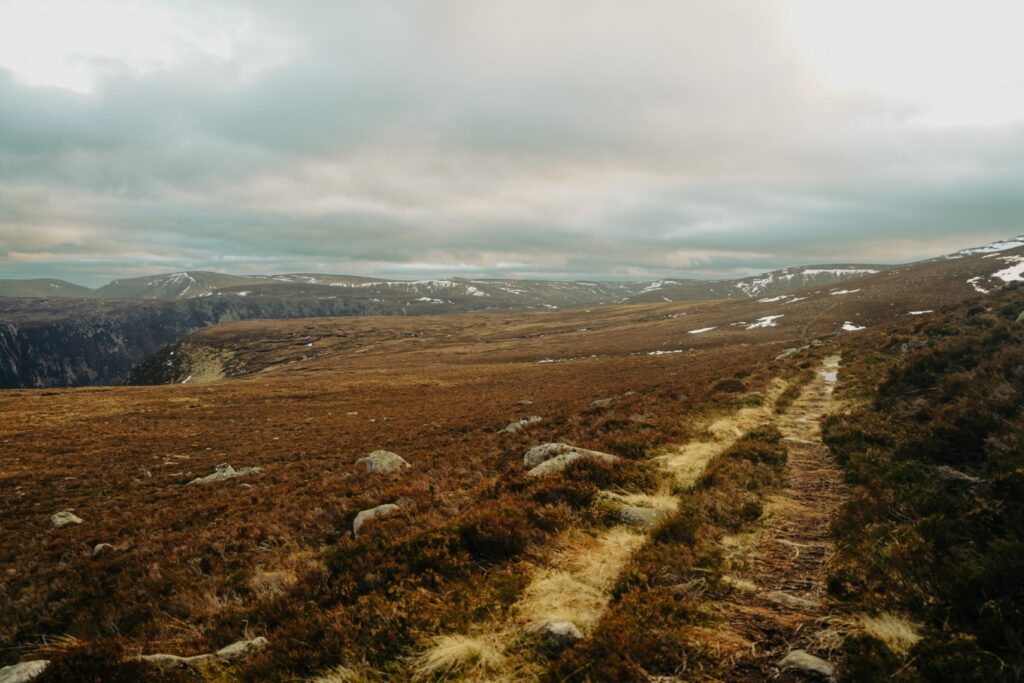
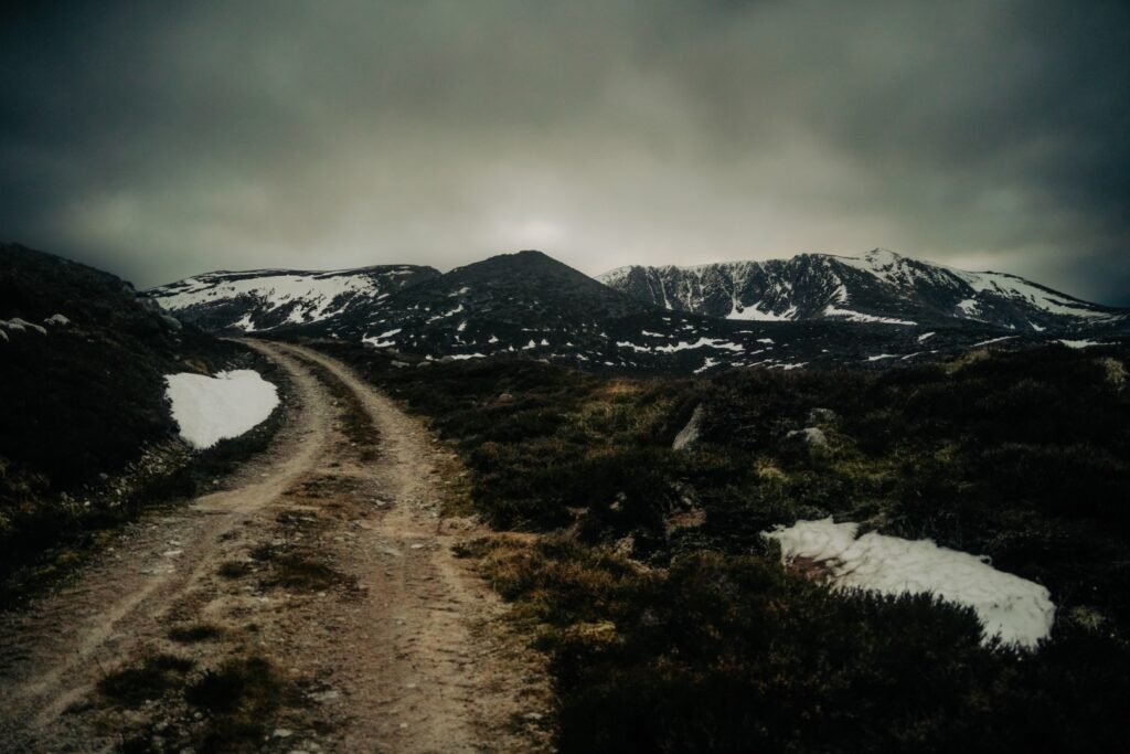
The ascent up to the waterfalls was our favourite part of the hike. We were quite tired already and didn’t really feel up for more ascending, but the trail was really fun with many turns and rocks to skip around on. The scenery was also the best we’d had on the hike, with lovely views over the lake and the waterfall cascading down the rocky cliffs. We filled our bottles with the fresh mountain water, and then continued up to a mountain pass between Little Pap (956 m.) and An t-Sròn (708 m.). This was when we first came into contact with snow! I was actually surprised we hadn’t seen any earlier considering the early time of year, but then again, it had been quite mild since I arrived in Aberdeen. We had to take a few small detours to avoid some sections of deep snow, but it really wasn’t too bad.
Up next was a long section of gradual descending with a few short ascents. A nice and easy way to end the day, if it wasn’t for the facts that our legs and feet were killing us, the sun had already set and we still had 12 kilometres to go… Oh well, there’s nothing a bit of Taylor Swift singing and song ranking can’t cure!
We pushed on and eventually, after 9,5 hours and 33 kilometres, we arrived back in Crathie and sat down at the bus stop to wait 1,5 hours for our bus back to Aberdeen. We’d left the city at 8 AM in the morning, and we weren’t back until 11 PM. It was a really long day, but it had been incredibly fun and beautiful all around!


Hiking route description: Loch Muick loop
The hike begins in the village of Crathie. You can reach Crathie with the 201 bus from Aberdeen (see the timetable here). When you get off the bus, take the road leading past the circular building which is the local visitor centre. Follow the road past the ruined church and then take a left turn and cross the bridge over the River Dee. Go right, then immediately left and left again, heading up to the Royal Lochnagar Distillery. Continue along the road for a few hundred metres, then take a right turn. Continue along the road, past a fence. Enjoy a gradual ascent towards the munros.
At the crossroad, take a right turn onto a grassy path. The low mountain ahead is Tom Bad a’Mhonaidh (473 m.), and it’s a short detour to the summit if you fancy a nice view! Back down on the path, it starts to become rocky so be careful where you tread. At the crossroad, turn right onto a gravel road and another gradual ascent. Another low mountain is up ahead, Meall Corm (553 m.), which is a longer detour but also very worthwhile. There’s another mountain right next to it, Craig of Inchnabobart (521 m.), but that requires another descent and ascent to summit.
Back down on the gravel road, you’ll soon reach a forest and a crossroad. Take a right turn and continue on the gravel road past Allt-na-giubhsaich (‘the Queen’s Lodge’) and you’ll soon reach Loch Muick. Follow the trail along the northeastern shore until you reach a small shore near the end of the lake. Continue to Glas-allt-Shiel (‘the Widow’s House’), then take a right turn to a trail going up through the forest. Follow the trail to the Falls of the Glasallt. The trail is quite steep but with many rocks to stabilize yourself, and there’s a small waterfall to cross but there are plenty of rocks to step on. Don’t forget to fill your bottles with the clean mountain water!
Continue up and turn right after the small wooden bridge. A long section of gradually descending with a few short ascents is up next. When you reach a crossroad, turn right and then immediately left onto a grassy path taking you up to a gravel road. Turn left and follow the gravel road for several kilometres until you reach the next crossroad. Then turn right and continue until you reach the forest above Crathie. Turn right, go through the gate and then make your way back across the bridge and to the bus stop.
The hike is 32 kilometres, takes 9-10 hours and is of moderate difficulty. There are no hard ascents or descents, but it is a very long hike in rough terrain.
Pingback: My May 2023: A month of research, hikes and fun on the Faroe Islands – Northtrotter on 22/05/2023
Pingback: My favourite new destinations of 2023 – Northtrotter on 22/05/2023

2 COMMENTS