Our summer holiday in Austria last year was coming to an end, and with just one day left to explore, my mum and I decided to go on a hike while my grandmother and dad stayed back in our holiday cottage to enjoy one last day in our little village.
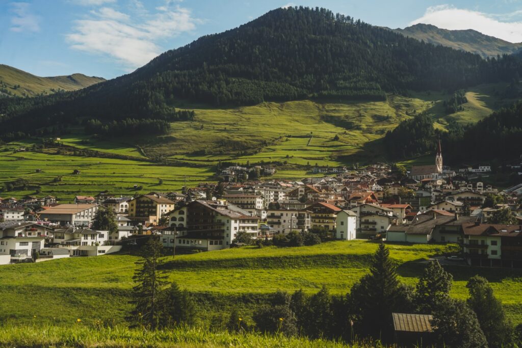
In the early morning, we set off for Nauders, an Austrian village located near the borders to both Italy and Switzerland. I chose the area for one very specific reason: I wanted to hike to Dreiländergrenzstein, a rock that marks the very spot where the borders of Austria, Italy and Switzerland meet – a so-called tripoint. I’m a huge geography nerd, and I love seeking out special places like this one. My mum wanted to join me, and I was thrilled at the opportunity to share my passion for hiking and odd geography with her!
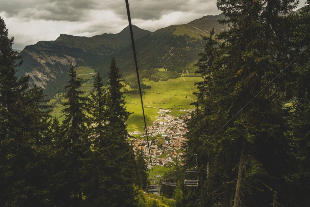
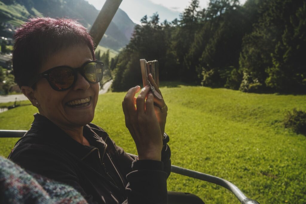
Upon arriving in Nauders, we boarded the Mutzkopfbahn chair lifts and enjoyed a serene although slightly nerve-wracking ride high up into the mountains. There, high above Nauders, our hike began.
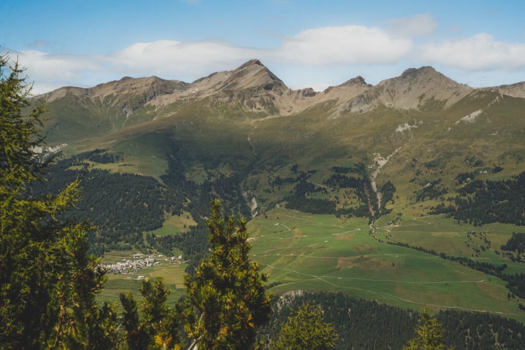
We headed straight out on the trails, in direction of Schwarzer See (‘the Black Lake’), following quite a few other hikers. It was a beautiful morning with sunshine and a bright blue sky, and we were excited to get going!
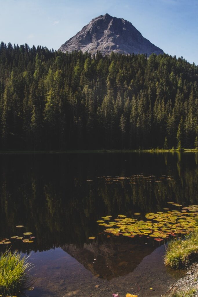
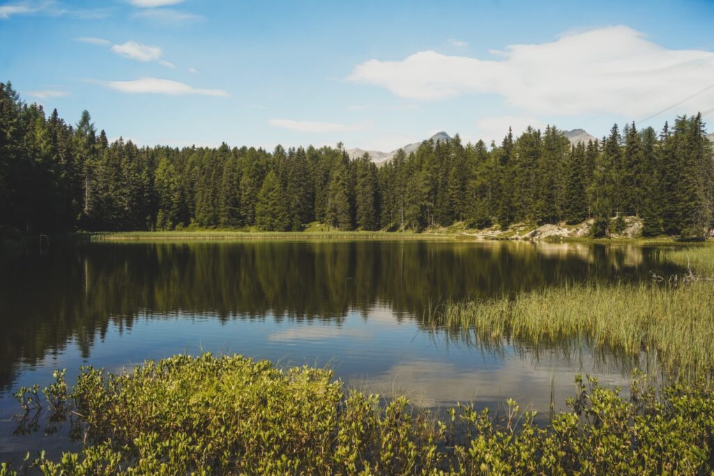
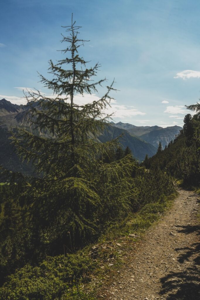
We expected to be climbing up the entire way out, so we were pleasantly surprised to see that the trail began with a long descent along steep trails and staircases winding through a picturesque forest. Soon, we reached Kreuzmoos, a boggy area with a long wooden bridge that offered some nice level hiking. Unfortunately, the pleasure of level hiking was short-lived as the trail went steeply uphill shortly afterwards. The rest of the way to the lake was quite tough with lots of uphill hiking, but the views of the mountains reflecting in the still dark lake were worth every bit of effort. It was so so beautiful!
Looking at my watch, I was surprised to learn that it’d only taken us half an hour to do this section of the hike. We were on fire!
We noticed that quite a few hikers were going around the lake, which seemed like a nice short hike but we had other plans for the day. So we had a short snack break on the lake shore and then continued on our way, now following the signposts towards Grünsee Lake (‘the Green Lake’).
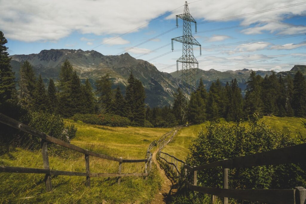
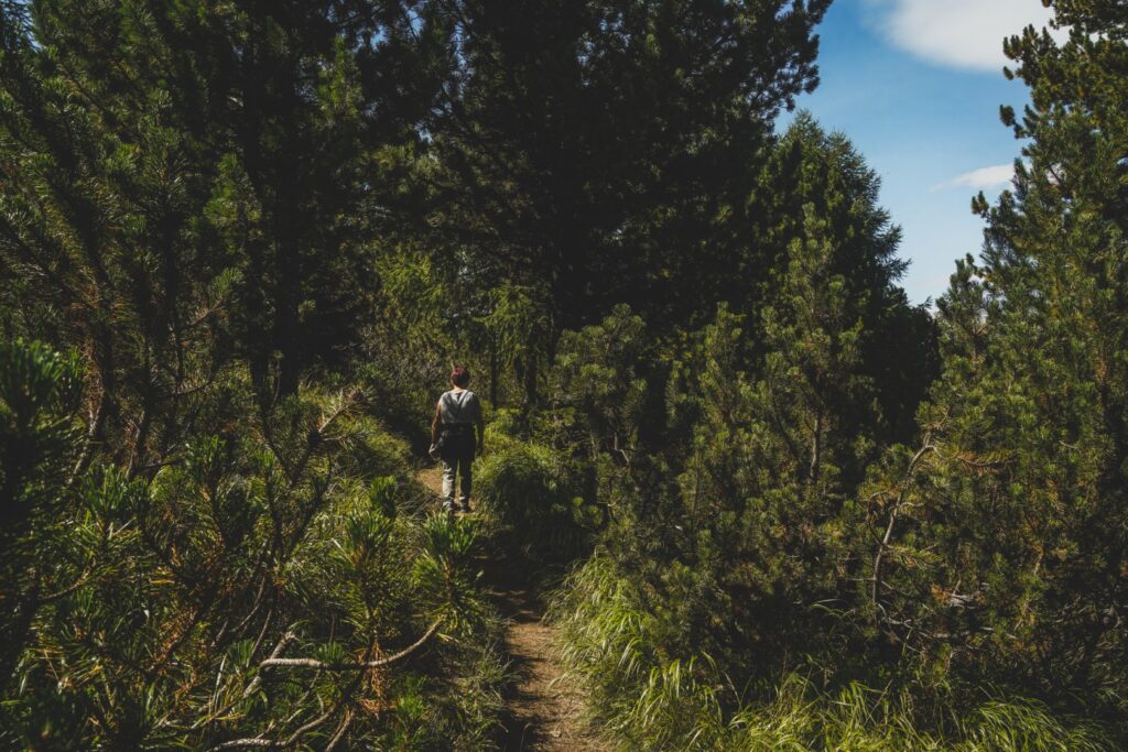
Next up was another nice section of level terrain which was a welcome change to the constant uphill hiking. We followed a mountain biking trail for a while – a so-called shared trail – and there were several bikers whizzing past us. It looked so cool, but also incredibly scary as the trail only got steeper. The next long section went uphill, but we hiked at a steady pace with no breaks. We were determined to reach our goal destination in good time so we could get home to the others in the afternoon.
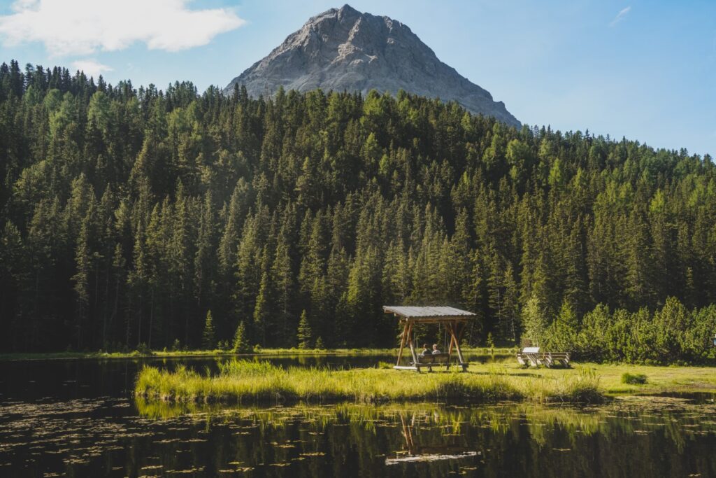
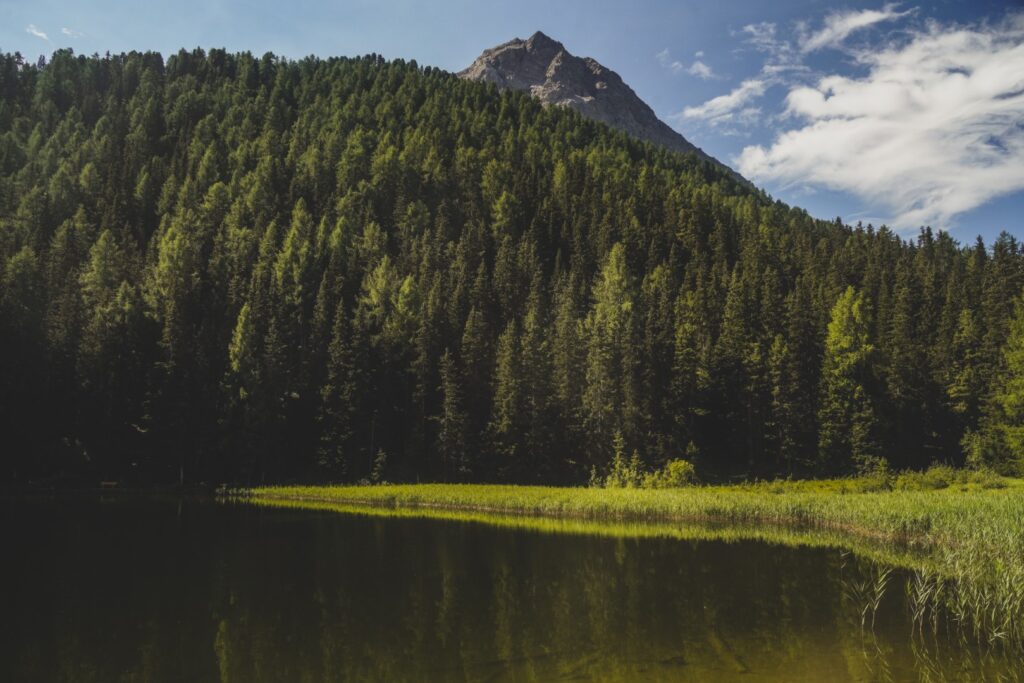
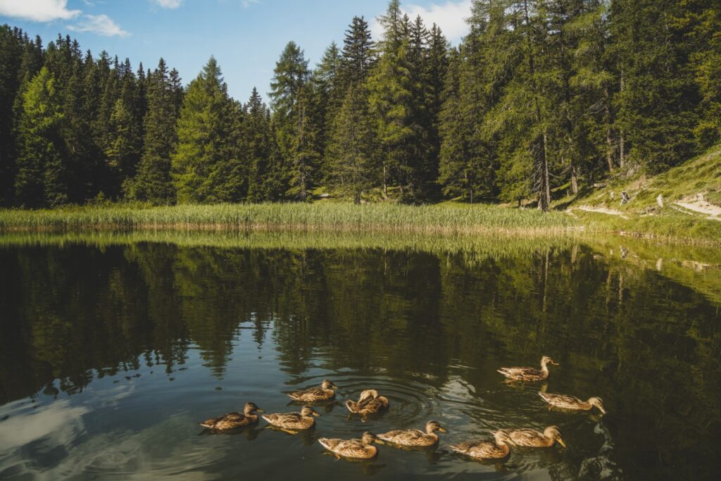
We reached the second lake, the beautiful dark green Grünsee, just an hour after we’d set off for the hike. I absolutely loved the scenery there, it was even better than at Schwarzer See!
The signposts which had been quite consistent throughout the hike suddenly failed and we just couldn’t figure out how to move on from the lake. We ended up walking all the way around it, unable to find the right trail. Eventually, we ended up back where we’d arrived at the lake, and after some close inspection, we finally found the right trail just beyond it…
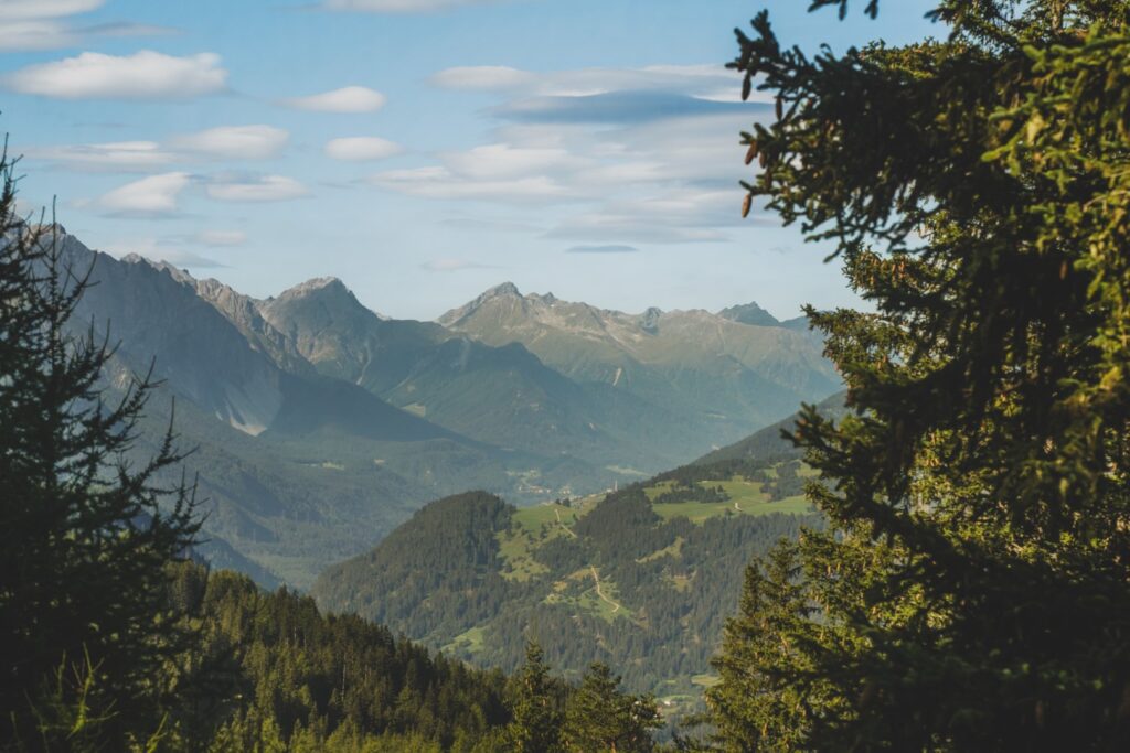
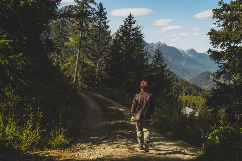
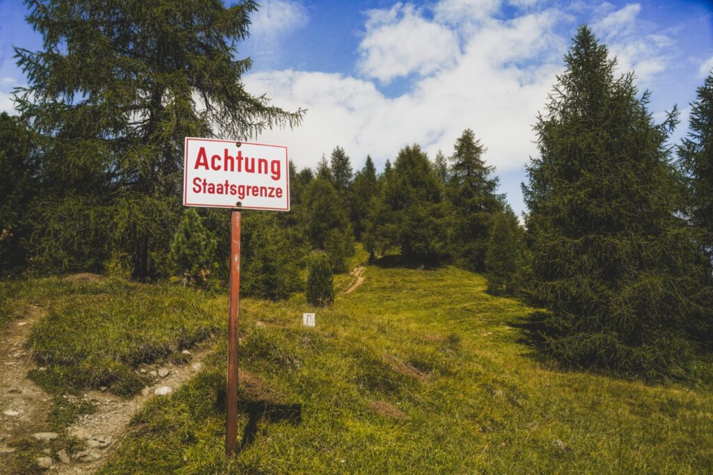
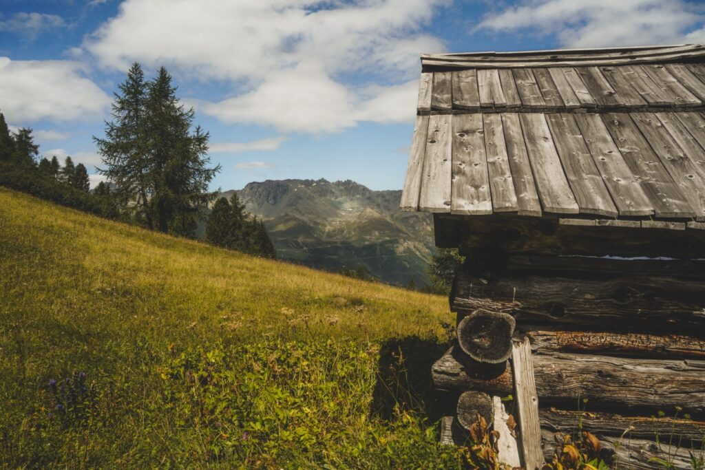
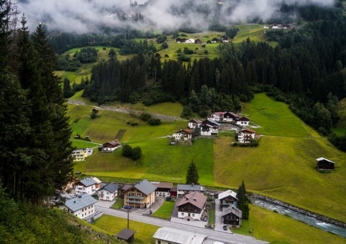
The trail continued going steeply uphill, but then we got to a section where it went just gradually up and even downhill in some sections. A nice change for our tired legs. But it wasn’t long until it went uphill again. We walked through a green valley with the most incredible mountain views, and cozy wooden cabins dotted throughout the landscape. As the clock turned to midday, we crossed the border into Italy where the next section of the hike went through.
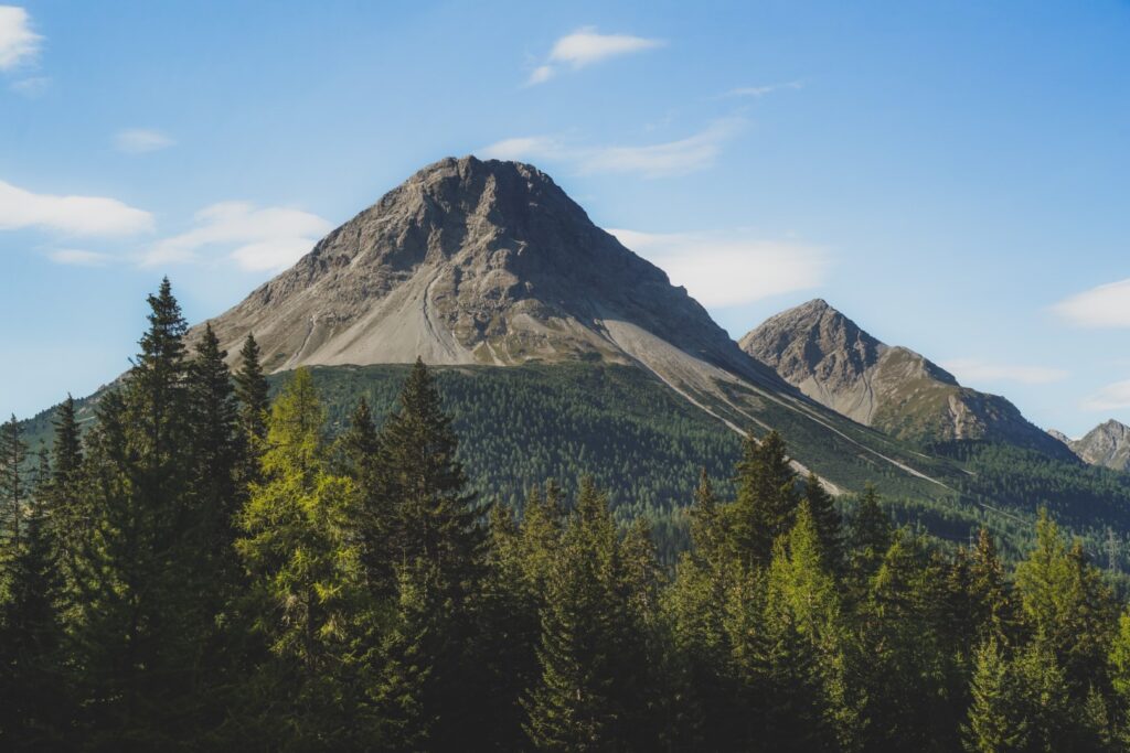
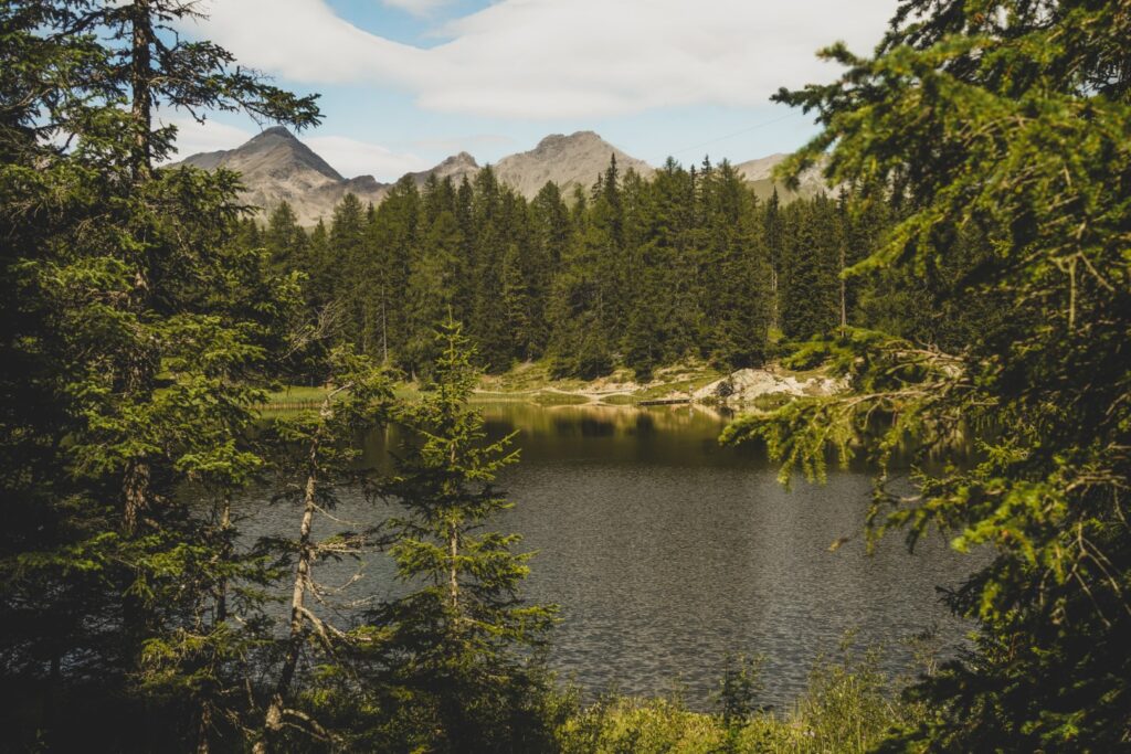
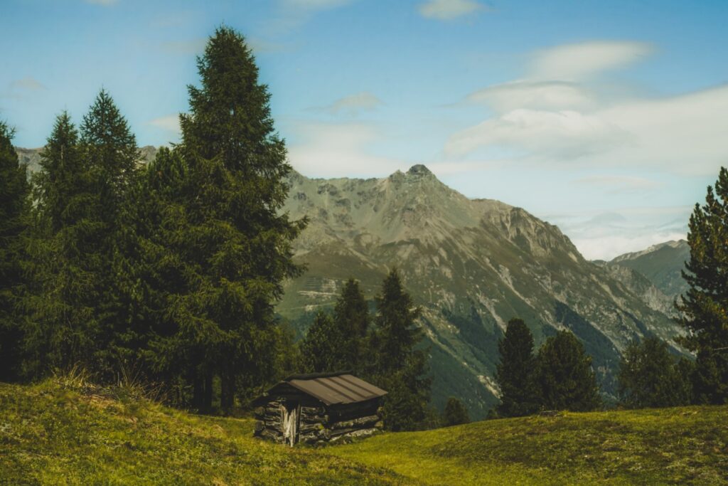
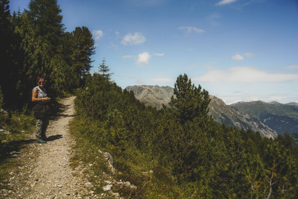
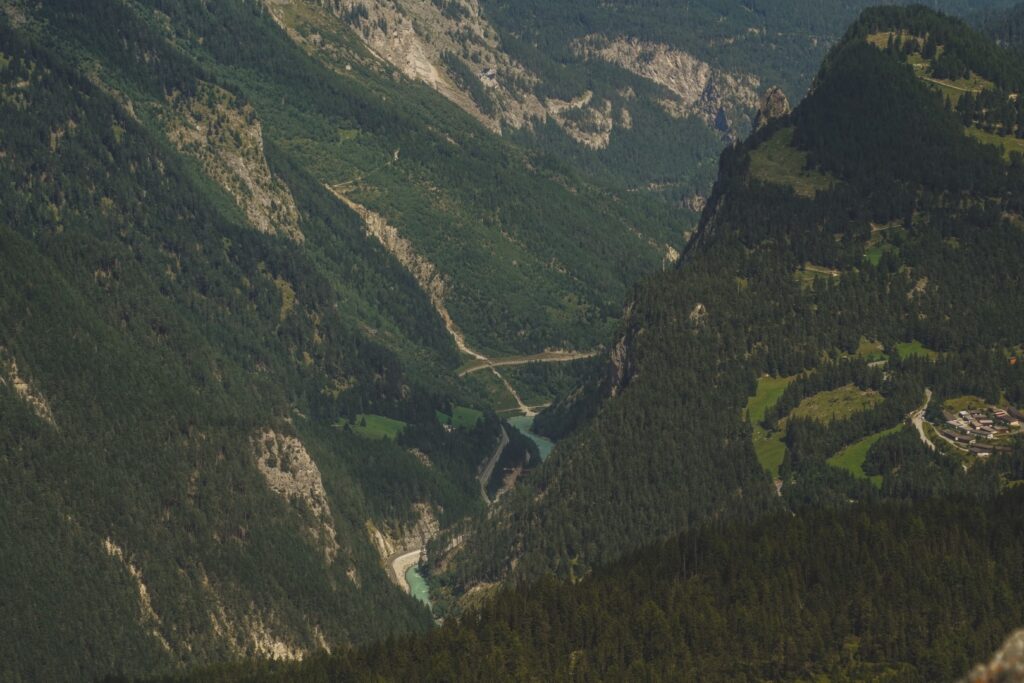
All throughout the hike, we’d been walking towards the iconic Piz Lat mountain, and by now, we were on the slopes of it. Our legs felt heavy as we continued up the mountain, following the narrow trail to our end destination. Looking down, we could now see the village of Nauders which looked incredibly small from up there. The last section of the hike followed the borders of Italy and Austria, going in and out of the two countries which was a rather special experience.
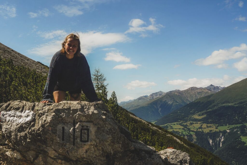
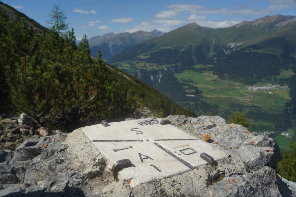
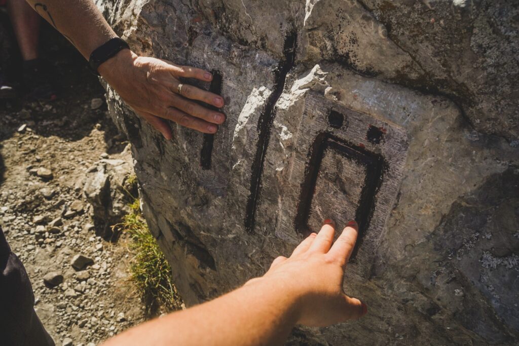
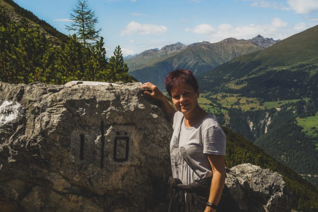
We kept pushing on, despite being so incredibly exhausted from the constant uphill climb. But then – finally, at 12.30 PM – we reached the Dreiländergrenzstein! It was as though all of my long gone energy came rushing back; I was so incredibly excited to finally be there.
We sat down on the Swiss side for a snack and then I placed my butt on the very point where the three borders meet. A pretty special experience. I was in three countries at once!
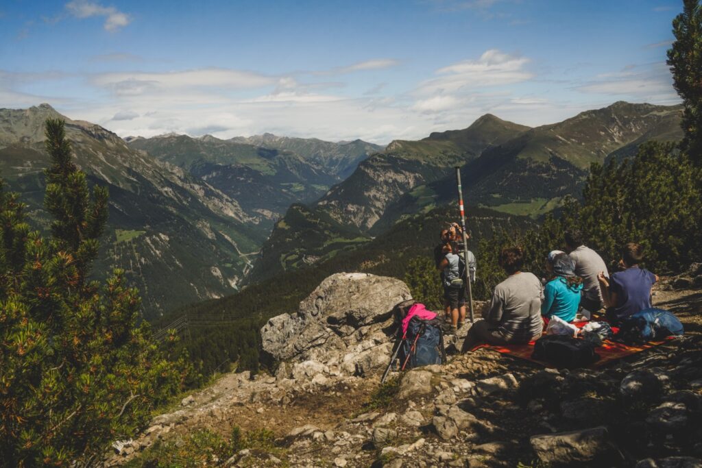
We stayed for a while to enjoy the view and our accomplishment, and then it was time to reverse our hike to get back to the chair lifts and Nauders. It was nice to go downhill for such a long way, but the thought of the last uphill part was gruelling. At one point, we took a wrong turn and ended up walking further into Italy! Thankfully, we quickly realized our mistake, but we had to walk back uphill again to get back on the right trail. We were exhausted by the time we got back to Schwarzer See, and the worst was yet to come. But thankfully, our memory failed us and the uphill section at the beginning of the hike was a lot shorter than we had remembered, so although tough, it wasn’t nearly as bad as we’d feared.
It was an incredible feeling to finally get back to the chair lifts and just sit down and enjoy the ride back down the mountains. A high-five was exchanged. We’d done it. It had been a tough hike but we’d done it in just five hours and we’d enjoyed (almost) every minute of it!
Hiking route description: Dreiländergrenzstein on the tripoint border of Austria, Italy and Switzerland
The hike begins at the upper station of the Mutzkopfbahn chair lifts in Nauders, Austria. A return ride in the lift costs 16 euros per person and can be purchased at the lower station. Alternatively, it’s 12 euros for one way if you fancy hiking one way. There’s a nice toilet next to the upper station.
From the upper station, follow the signs towards Schwarzer See (route 9), first going right and past Restaurant Mutzkopf. The first section is downhill and it’s rather steep in parts. You’ll soon reach the bog of Kreuzmoos with a nice level wooden bridge to walk on. At the end of the bog, you’ll reach two trails going in opposite directions. Take the one going left, not the one with the giant butterfly. Turn right soon after. Another short level section is up next, but then it starts going steeply uphill, and it’s mostly uphill until you reach the lake. Take your time to enjoy the magnificent views.
Now follow the route to Grünsee (route 6). Turn right and follow Schwarzer See for a little while and shortly after leaving it behind, turn left (not the first left which is the trail around the lake). There’s a nice level part and then it goes uphill again, and you’ll be sharing this part of the trail with mountain bikers. At the crossroad, follow the signpost going left for even more uphill climbing. Then turn right, keeping right on the hiking trail that splits from the mountain biking trail. You’ll soon reach the gorgeous dark green lake of Grünsee.
Up until now, the route has been well-signposted, but it can be very confusing to understand the signs at Grünsee (we ended up walking around the lake trying to find the right trail…). You have to follow the route to Dreiländergrenzstein (route 47) now. The trail is just to the left of where you arrived at the lake. You’ll have to join the mountain biking trail for a few meters (hikers stay to the right) before turning left and then right. There’s a very steep section and then a gradual ascent and a bit of descending. You’ll soon reach a wooden path. Keep going straight and then at the crossroad, turn right, going uphill. You’ll be crossing into Italy soon after, and after a right turn, the next section of the hike follows the border between Italy and Austria, going in and out of the two countries. Up next is more steep uphill climbing with only a short level and downhill section, but you’re finally nearing the end. Keep pushing on, and before you know it, you’ll have reached Dreiländergrenzstein and the tripoint!
Relax, enjoy the view and regain some energy, and then reverse the route to get back to the chair lifts. You can either take the lift down or hike down following the signs towards Nauders.
The hike is 13 km, takes 5-6 hours and is of moderate difficulty.
Leave a Comment
Pingback: My favourite new destinations of 2021 – Northtrotter on 24/10/2022
Pingback: My October 2022: Autumn on Lolland – Northtrotter on 24/10/2022

2 COMMENTS