This post contains affiliate links. If you make a purchase through these links, I may earn a commission at no extra cost to you. Thank you!
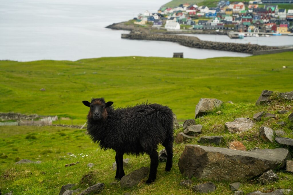
For my lifelong quest to see just about every corner of every island in the Faroe Islands, I returned to a favourite of mine last summer. That island was Nólsoy, the place where I spent six weeks writing my BA thesis, but still hadn’t managed to explore in depth.
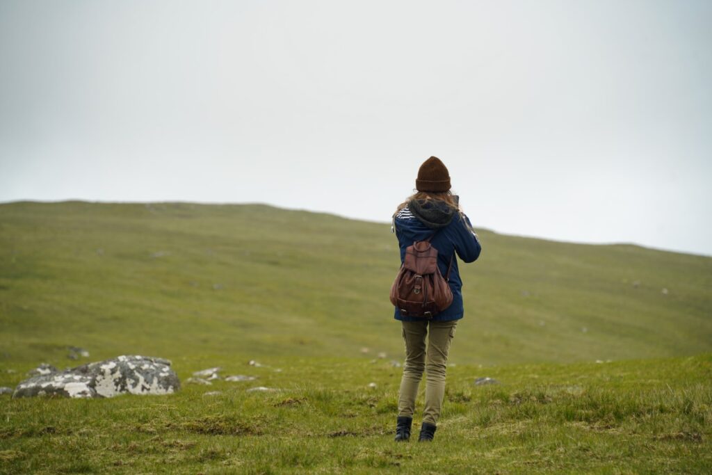
So, back in July last year, I boarded the ferry with my tent and settled on Nólsoy for three days. The goal? To climb every mountain on the island (there are only four) and hike out to the lighthouses on the southern end of the island, one of the most serene places in the country. And I wanted to do it all in one day!
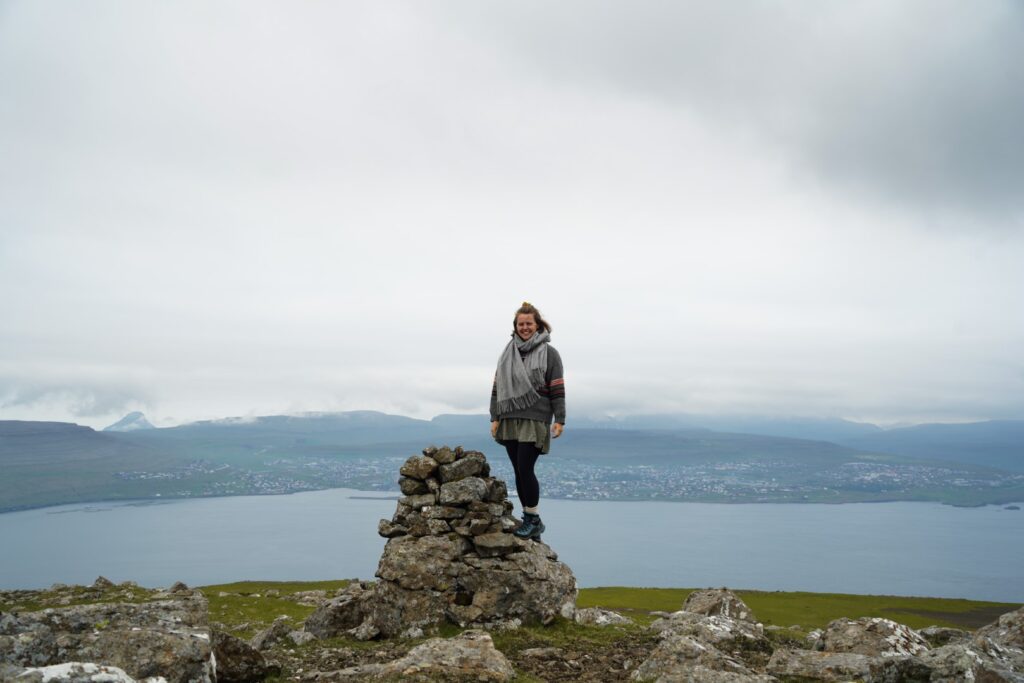
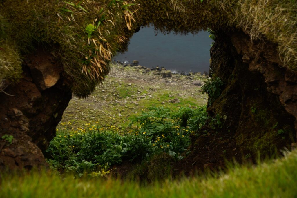
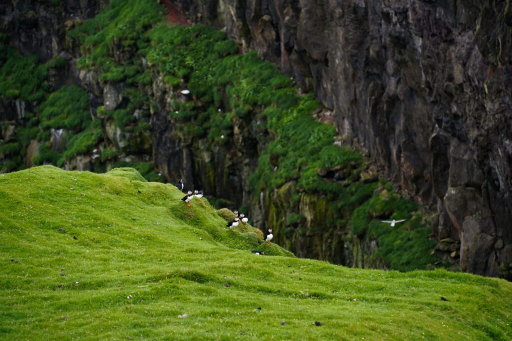
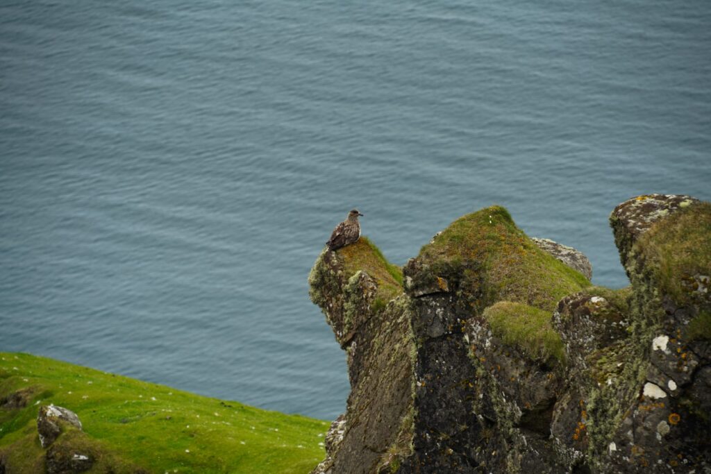
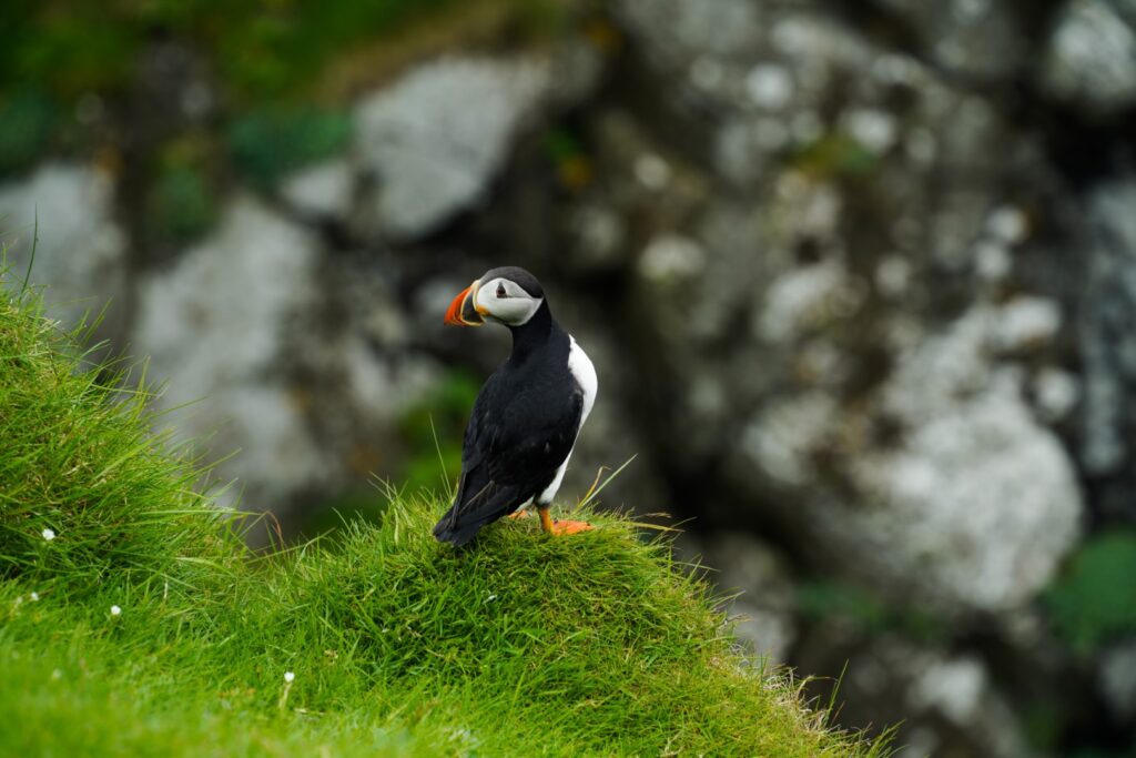
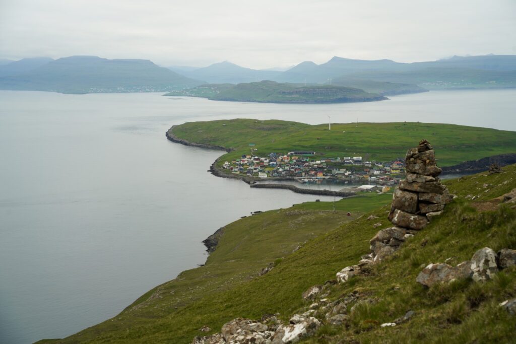
While awaiting my friend Lucie’s arrival to the island, I walked around Stongin, the northern end of the island, and discovered a hidden puffin paradise. Even the parts of the country I know best can keep surprising me, and that’s why I love the Faroe Islands so much. With Lucie’s arrival early the next morning, we set off on our long hike, starting from the only village on the island and going over the four peaks to the lighthouses at the southernmost end of the island.
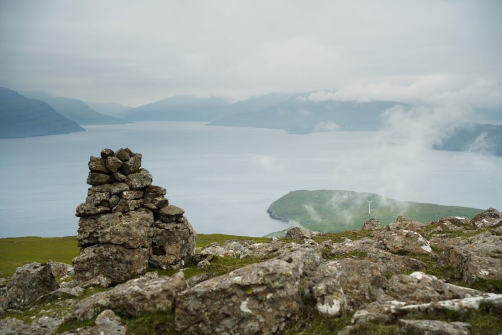
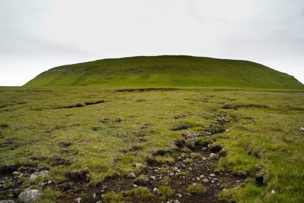
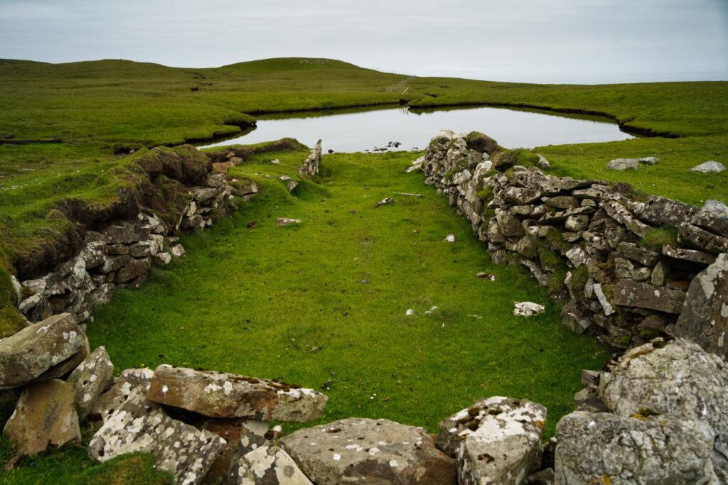
The first mountain we had to conquer was Eggjarklettur, the highest on the island, and it was right up ahead. We trotted past the ruins of Korndalur, Nólsoy’s former settlement, and soon found the cairn trail leading us halfway up the mountain. The cairns don’t stop there; they continue to the lighthouses in the south, but since we weren’t following the usual route there, we abandoned the trail to summit the mountain.
Then came the steepest climb of the day although it’s hardly a challenge compared to most other mountains in the Faroe Islands. But we were off to a slow start, and took our time to reach the top of the 372 m. high mountain. Once we got there, we were awarded with a wonderful panoramic view of the entire island and its surrounding neighbouring islands.
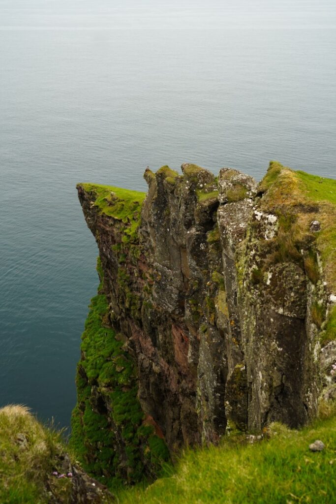
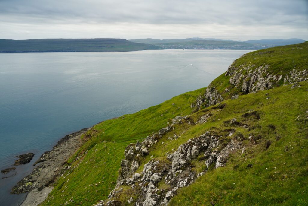
The next peak was just a few hundred metres away, the small protruding hill of Uppi á Manni at 352 m. high. Although very close to the highest point, Uppi á Manni offers even better views in my opinion as it’s possible to peek down at Nólsoy’s rugged east coast with the rocky peninsulas of Skriðutangi and Bolstaður – my favourite place on the island!
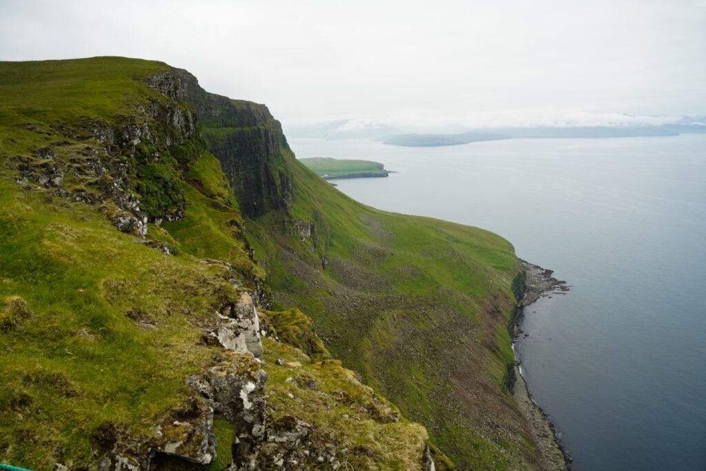
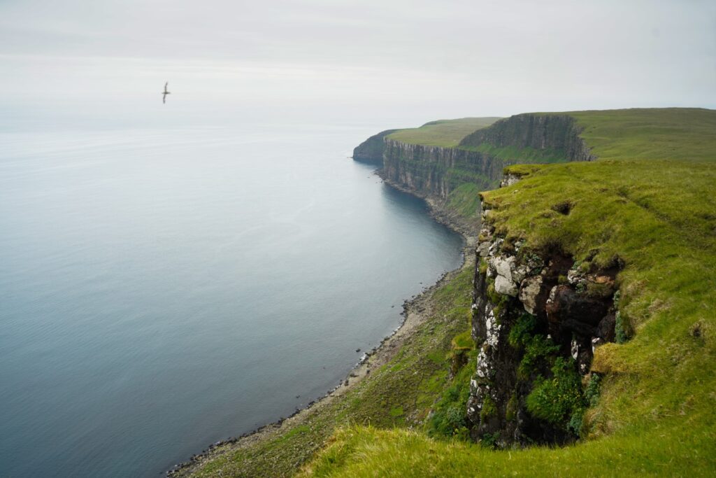
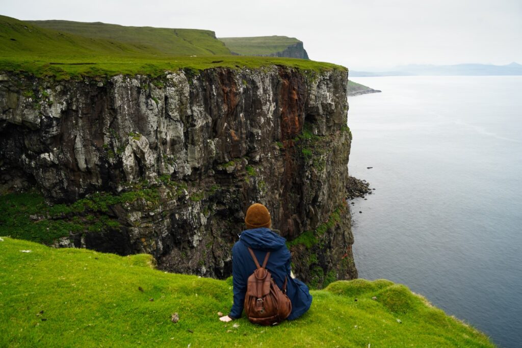
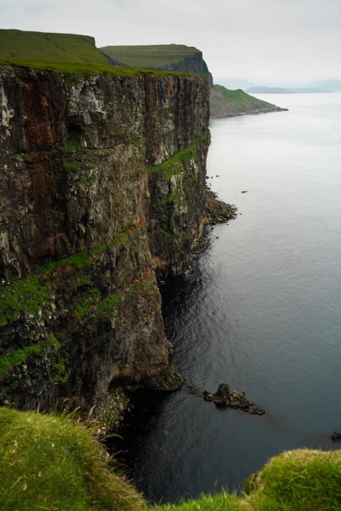
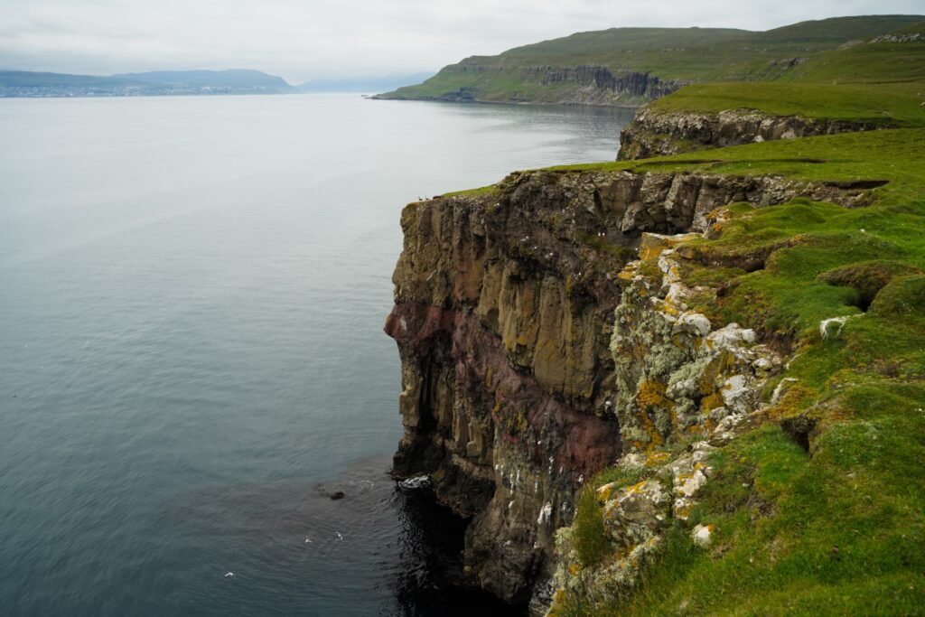
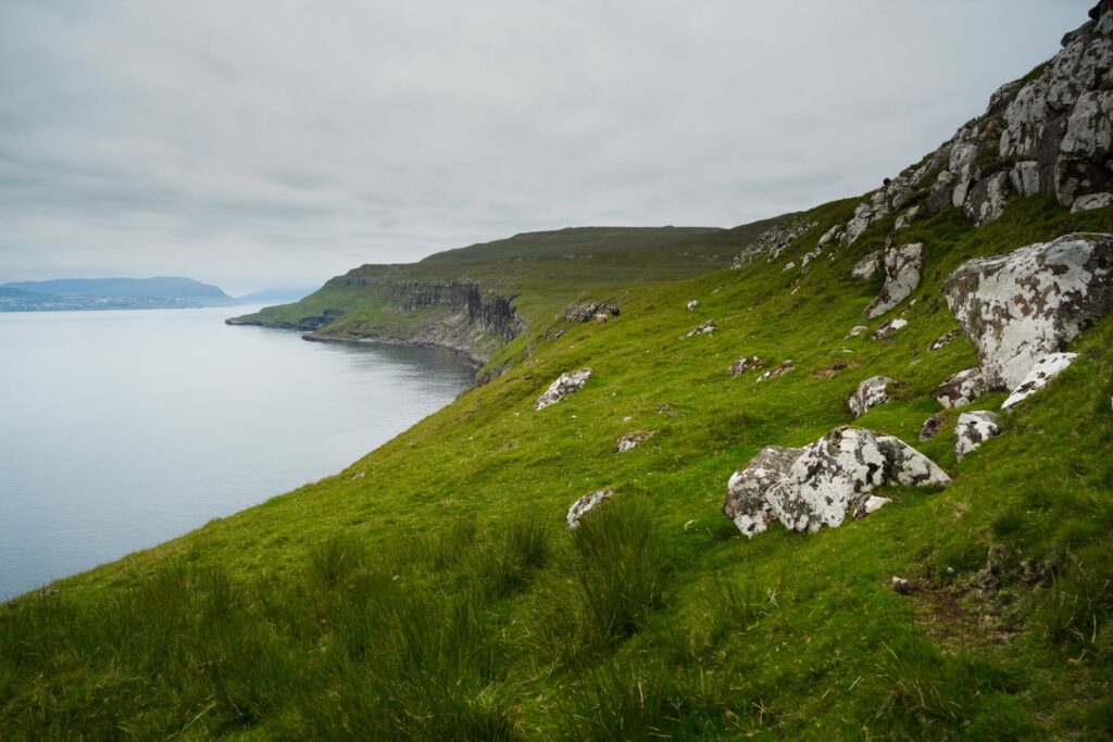
As we continued further south, Nólsoy’s little village came into view again before disappearing shortly after, leaving us alone with a view of the dramatic bird cliffs of the east coast.
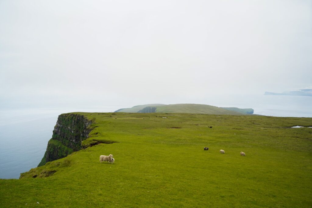
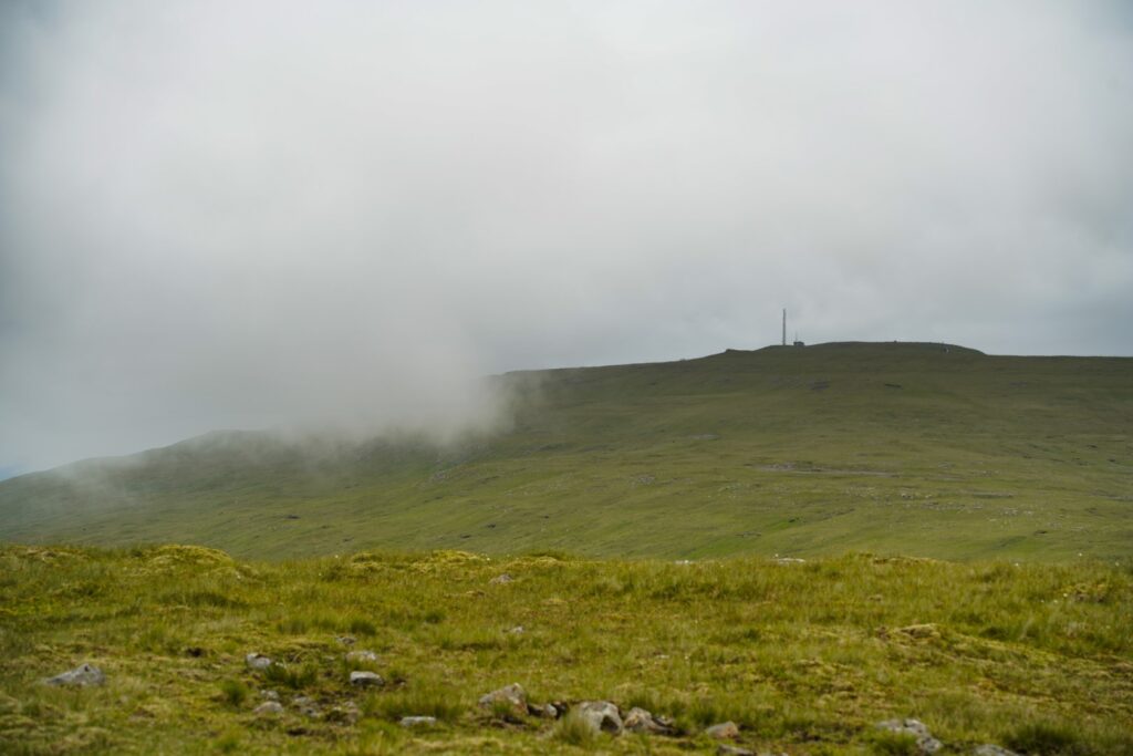
Skúvafjall was up next. From our point of view, this “mountain” looked like a massive hill to conquer, but in reality it’s a mere 234 m. at the highest point.
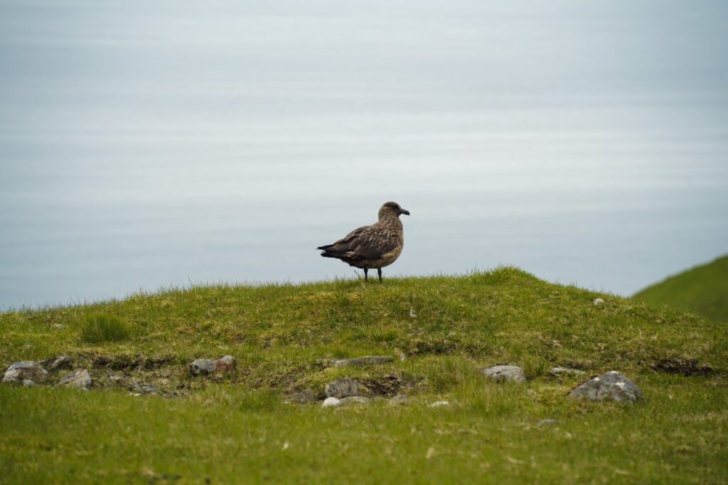
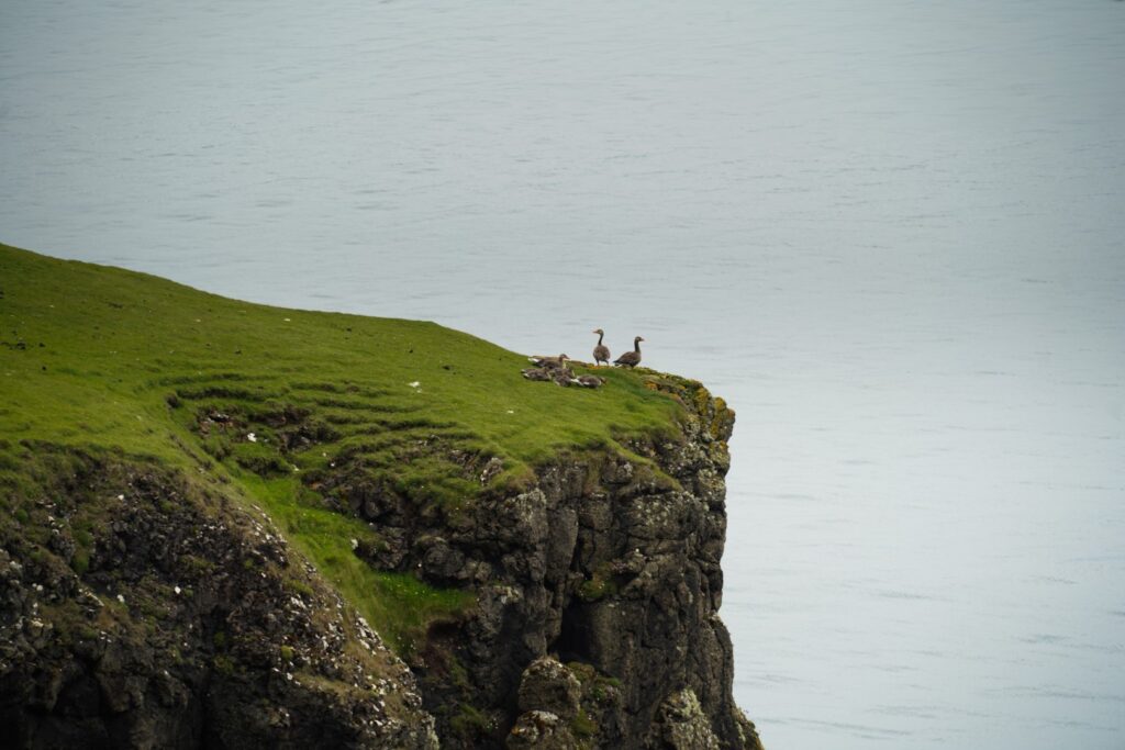
Two huge birds passed us as we walked on, staying close to the edge for the views but not too close for it to be dangerous. I’ve hiked the east coast a few times before and I know that those cliffs are vertical with a huge drop, so this is definitely not the place to be a daredevil.
To reach Skúvafjall, we had an easy descent from Uppi á Manni and then a very short and easy ascent to the top. Climbing Nólsoy’s mountains really is a walk in the park.
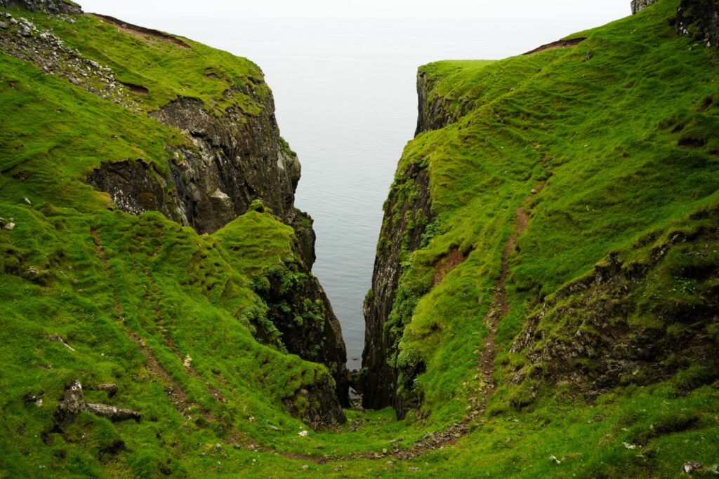
Halfway down Skúvafjall, we decided to take a little snack break but two very noisy and rather aggressive birds didn’t enjoy our presence and warned us off in an instance. So off we went again, heading for the Hásteinsgjógv gorge. Neither of us had been there before, so we were amazed when we saw the incredible views that are well hidden at this faraway spot at the southeastern end of Nólsoy. Well, for us humans it might be hidden and unknown, but for the puffins it was certainly not. Hásteinsgjógv is another puffin paradise on Nólsoy although much less accessible than the one at Stongin.
Curious as we are, we couldn’t help but climb down the gorge when we spotted a grassy section that looked safe. It was, until a certain point where we could go no further without a risk of falling. Grabbing hold of the protruding rocks of the gorge, we enjoyed the view for a moment before climbing back up again to continue our hike, heading towards the last peak of the day.
It might be a bit much to call Líðarfjall a mountain with its silly 152 m., but it is included on the official Fjallalistin which lists all 340 mountains on the Faroe Islands. It’s not even the lowest – in fact, eight peaks are even lower!
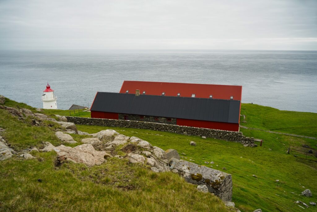
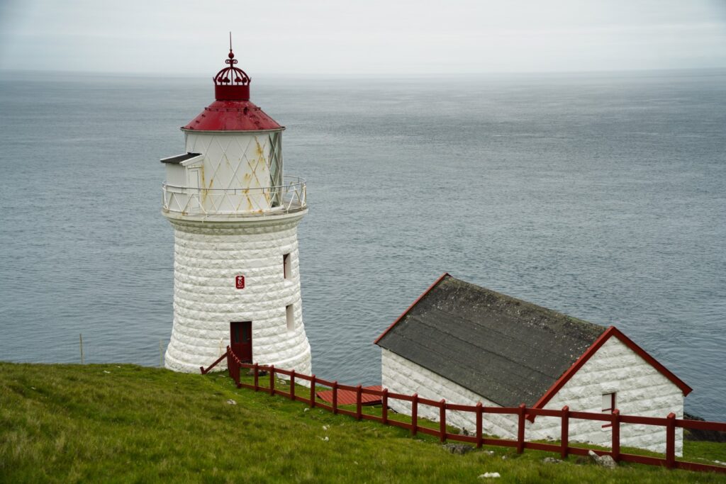
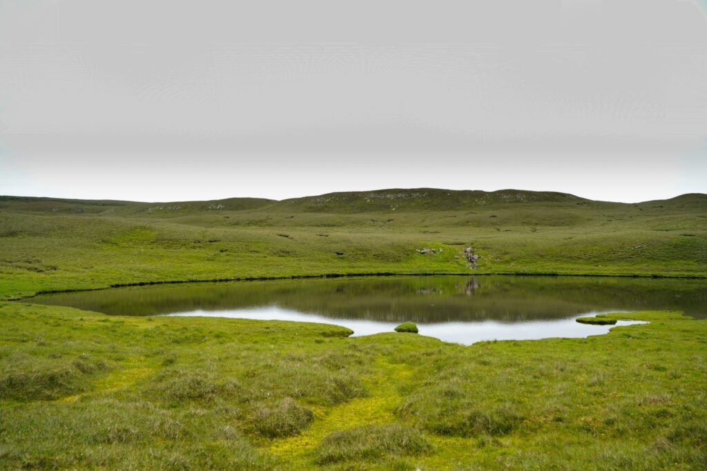
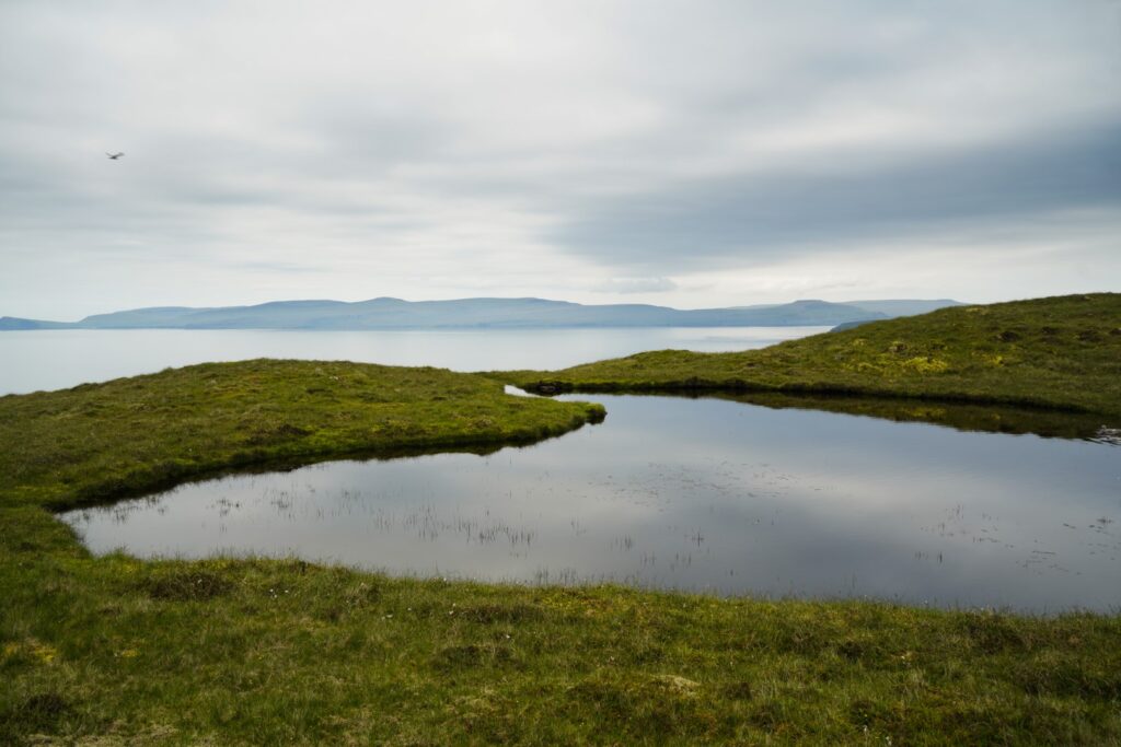
From the summit of Líðarfjall, we could look down to the lakes of southern Nólsoy where Halavatn dominates. Descending slowly to enjoy the views, we finally reached the first lighthouse after five hours of hiking. We arrived at Nólsoyarviti which is home to the best known of the two lighthouses on Nólsoy, and the oldest of the two, built in 1893. This was where I tried to camp without a sleeping bag back in May 2019, and obviously failed miserably. But I love this place. It offers peace like no other place on the Faroe Islands.
Bidding farewell to the lighthouse, we followed a trail to the other lighthouse at Borðan and noticed that parts of the trail is paved with rocks. I wonder if the lighthouse keeper used to drive along this road between the two lighthouses back in the days. Once upon a time, there was a small settlement at Nólsoyarviti where the lighthouse keeper lived with his family. The small harbour at Stallurin which we passed halfway to the other lighthouse also bears witness to this time of activity at the far end of Nólsoy.
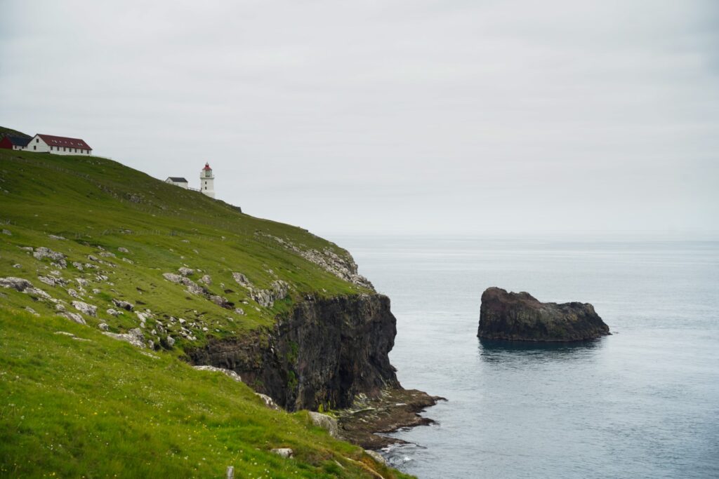
We stopped for a lunch break near the little harbour as we found the perfect spot by a little stream with a beautiful view of the lighthouse we’d just left behind and the Kapilin sea stack that stands lonely in front of it. Soon after, we reached the little lonely lighthouse at Borðan, built in 1900.


Leaving the second lighthouse behind, it was finally time for us to make our way back to the village. But the way is long and for some reason, our lunch break seemed to take all of our energy away instead of doing the opposite.
But still, we weren’t about to miss a golden opportunity to explore the west coast of Nólsoy. Although the east side is far more rugged and wild, the west coast is full of little gorges such as Gjógvin á Borðuni just beyond the lighthouse and Fiskigjógv a bit further north.
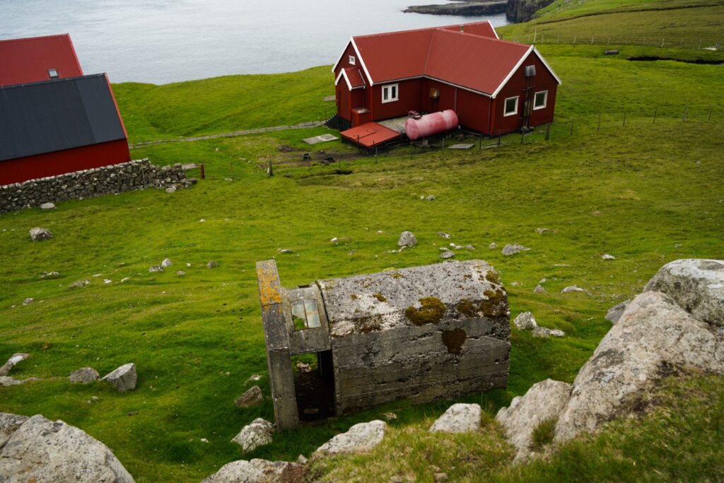
So instead of hiking back on the official trail, we stayed as close to the shore as possible in order to see all the small gorges. There were some sheep trails to follow but they got too steep at one point, forcing us further inland to the little lake Tjørnin á Reyðastíg. At one point, we passed the ruin of what looked like a house, which might be the remains of the house where British soldiers dwelled during the Second World War.
We had to cross a few streams and walk through swampy meadows, and soon found ourselves above a tiny beach in front of the little sea stack, Flesin á Høsmøl. Another gorge allowed us a look down to the rocky beach. Not long after, it was time to ascend a bit, going away from the coast. We crossed a few more streams and another little lake, and soon spotted the cairns from the official trail.
The northern part of the west coast is less interesting than the south, so we decided to follow the trail back to the village, giving our tired legs an easier descent. Hungry and out of food, we hurried through this part that we know so well, and made it to Maggie’s just in time for a very well-deserved meal before the kitchen closed.
We got back to the starting point of our hike ten hours after we’d set off in the morning! A very long day of hiking had come to an end, and it was time to celebrate with a delicious meal before wandering off to the tent for a good night’s sleep.
Hiking route description: The ultimate Nólsoy hike over the mountains to the lighthouses in the south
The hike begins past the village on Nólsoy, going south towards the highest mountain, Eggjarklettur at 372 m. Follow the road out to its end, past the old ruins of Korndalur, and then you’ll see the cairns leading you halfway up the mountain. At one point, you’ll have to abandon the cairns to climb the last part up to the summit of the mountain. There is supposed to be a trail but I haven’t found it yet – maybe you’ll have more luck than me! But off-trailing here really isn’t an issue. This is the steepest ascent of the entire hike but it’s short and quite easy.
Once at the top, take some time to enjoy the views, and then continue to the little hill you see in front of you, right at the edge of the cliff. This is Uppi á Manni, the second-highest peak of Nólsoy at 352 m. It’s a small descent and then an even easier ascent to the top.
Follow the cliffs around going further south towards the third peak, Skúvafjall at 234 m. Keep on the high ridge to avoid having to descend and ascend more than necessary. You’ll soon spot Skúvafjall which looks quite high but is very easy to climb. You’ll first have to do an easy descent before hiking up to the summit. Up ahead is Líðarfjall which rises a mere 152 m., but first I urge you to take a detour to the Hásteinsgjógv gorge. It’s a beautiful place and a great spot for watching puffins in the summer! You’ll have to walk across a valley when descending from Skúvafjall and then head to the coast shortly before reaching Líðarfjall. It’s possible to walk down part of the gorge but do be careful as it can be slippery and rocks may be loose! From there, the ascent to Líðarfjall is short and easy, just a few hundred metres away to the right from the gorge. The summit may be hard to find as it’s not prominent at all, so your best bet is to look at a map while nearing it.
Continue south, descending, and you’ll soon reach the lighthouse at Nólsoyarviti. Take some time to explore the beautiful area, then follow the trail going southwest past the little harbour at Stallurin to the lighthouse at Borðan. The trail disappears at one point, but just follow the coast and you won’t get lost.
From the second lighthouse, it’s time to start hiking back north to the village. Follow the west coast as closely as possible for the best gorge views. There are a few streams to pass but there are plenty of rocks to step on. Shortly after you’ve passed the little rocky beach by the sea stack Flesin á Høsmøl, ascend inland and make your way to the cairn trail and follow it back to the village.
You’ll have to climb a few fences throughout the hike but there are stepping stones at most fences so it’s an easy task.
The hike is 16 km, takes 9-11 hours including breaks and is of moderate difficulty. The mountains are all easy to climb but the hike is long and steep in parts.
Interested in exploring Nólsoy by boat?
Enjoy a unique trip around Nólsoy by boat where you’ll get to see the many hidden caves of the islands. It’s the perfect way to spot the seals, puffins and other seabirds that thrive on and around Nólsoy. The two-hour tour is available from April to October. The price starts at 2,100 DKK for 1-3 people. Read more here!
Alternatively, you could take a summer trip on the historic scooner Norðlýsið, where the captain will sail you around the island before stopping in the village. The three-hour tour is available from May to August. The price is 850 DKK per person for adults and 425 DKK for children. Read more here.

Leave a Comment
Pingback: My May-June 2022: Around Denmark, Germany and a slice of the Czech Republic – Northtrotter on 17/05/2022
Pingback: A complete guide to the island of Nólsoy, Faroe Islands – Northtrotter on 17/05/2022

2 COMMENTS