After having decided to ditch my bike plans and go for car rental instead, I headed up north to start my explorations of the 137 km long island of Öland, located off the east coast of Sweden in the Baltic Sea.
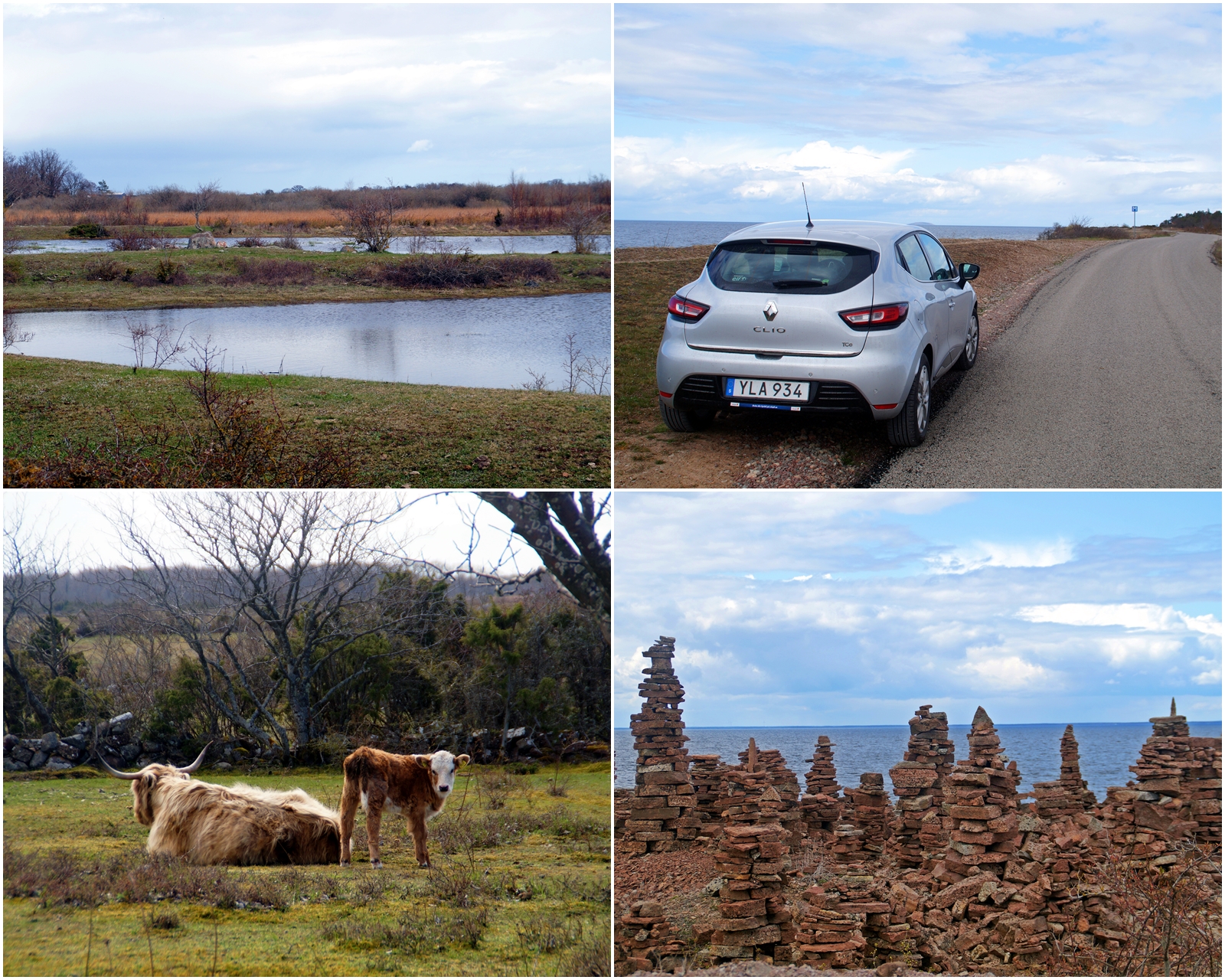
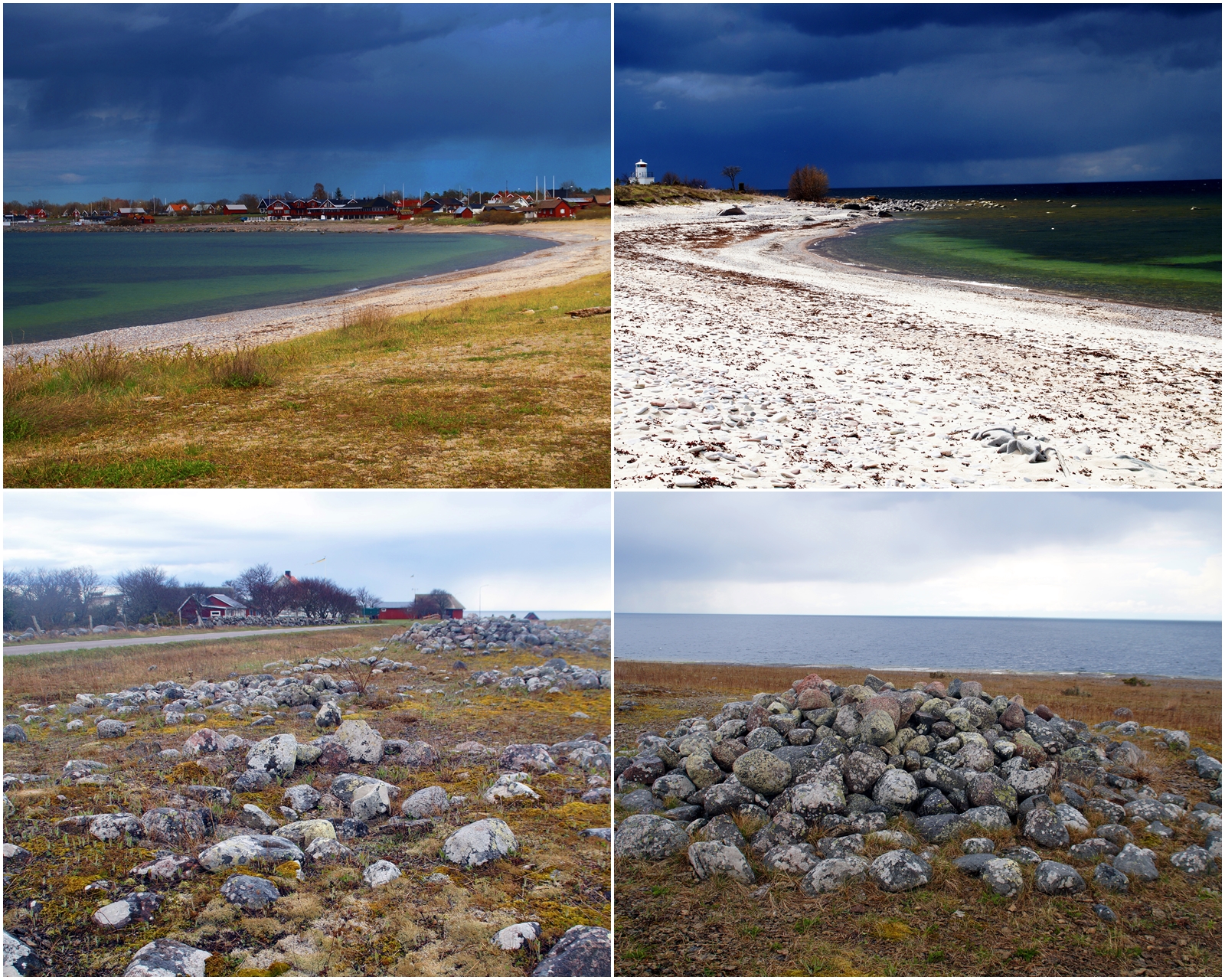
I set off at 12 AM and spent the next eight hours driving from Borgholm to the very top part of Öland and back again, stopping at more than 20 places on the way. For the first few hours, I drove along the west coast of the island with a constant view of the bright blue Baltic Sea.
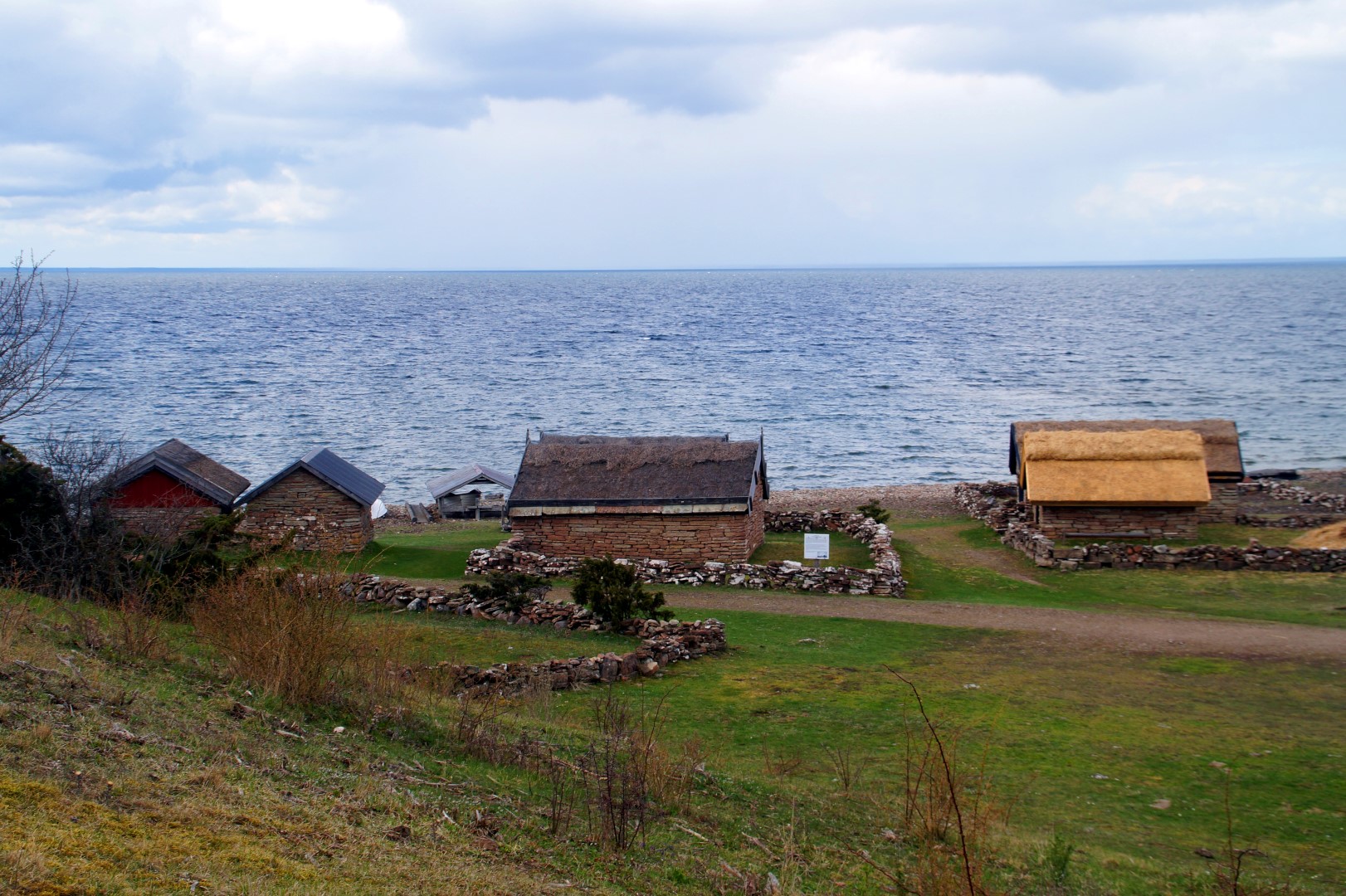
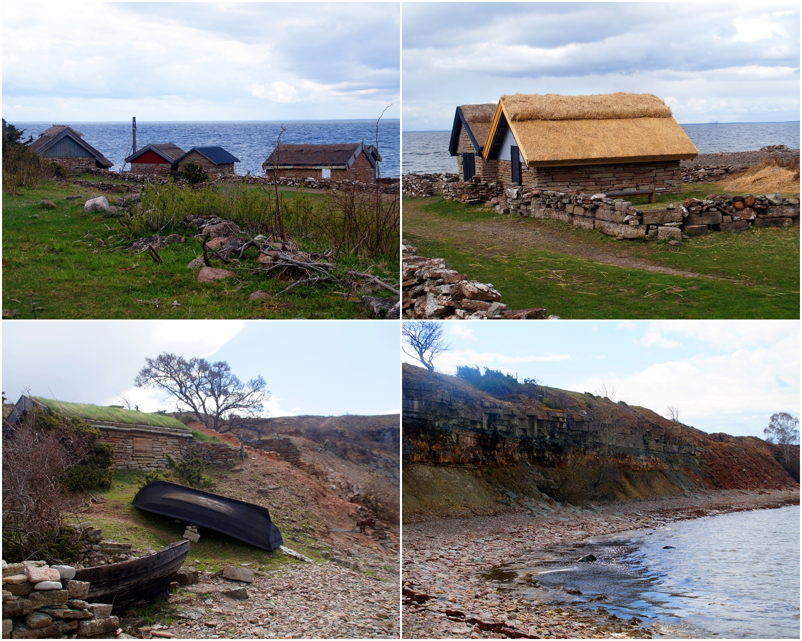
My first stop was the tiny abandoned fishing village of Bruddesta from the early 1800s, located on an isolated, rocky beach.
Further up along the west coast I went, and soon I came to a large meadow area full of small lakes. This nature reserve is known as Knisa mosse and is one of Ölands few wetlands and the oldest bird protection area on the island.
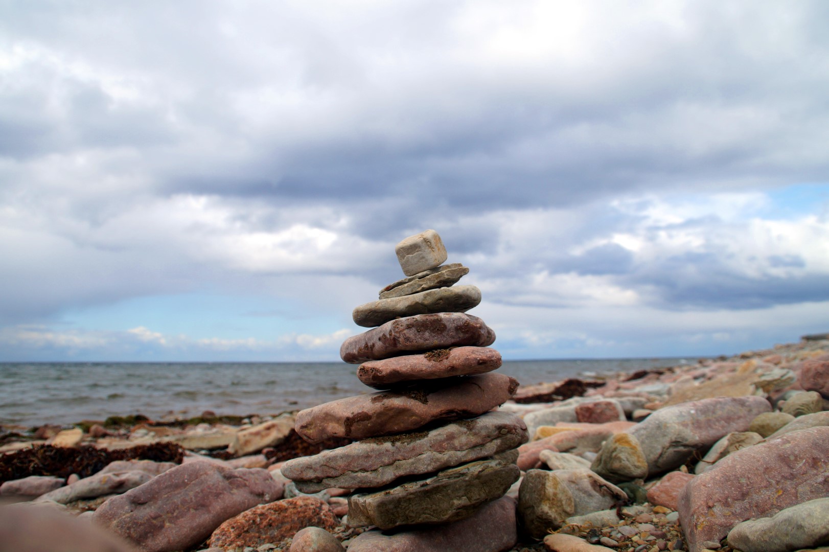
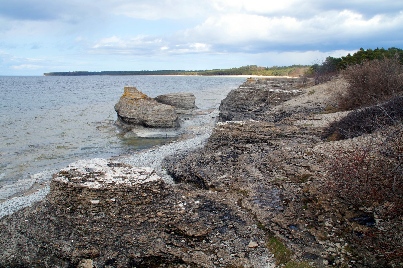
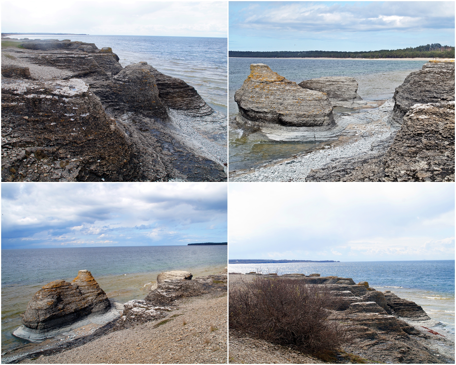
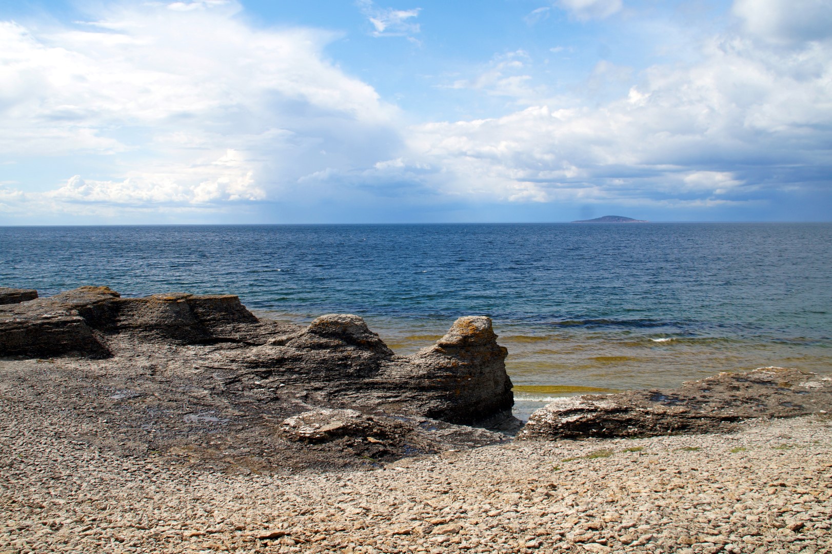
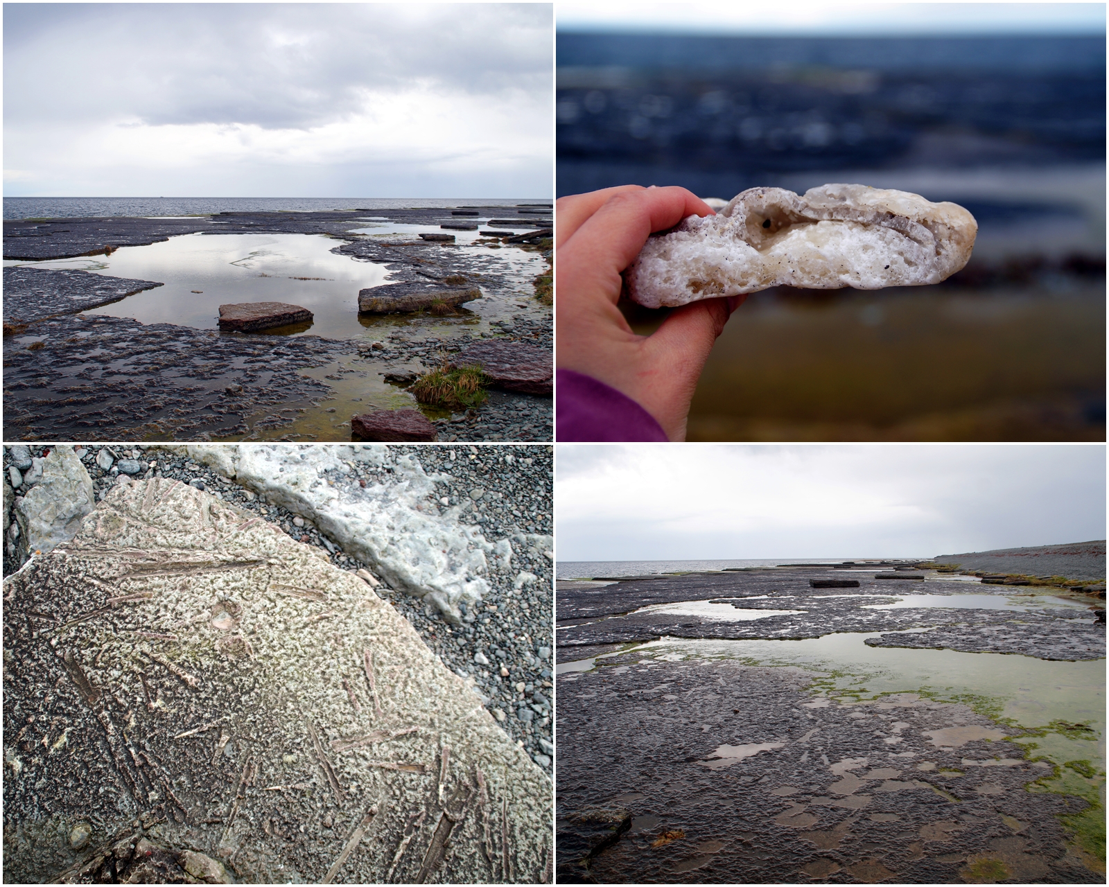
The north part of Öland is very rugged and most of the beaches consist of semi-large stones, although there are a few sandy beaches in between. One beach in particular is very beautiful, known as Byrum’s raukar, which is located about 1,5 km south of the village of Byrum. Byrum’s raukar are a geological formation of a group of 120 limestone stacks which are very rich in fossils.
After exploring the spectacular stacks, it was time to head inwards towards the middle of the island, although that part is quite small and you can easily find yourself at the east coast if you aren’t careful. Because while the island is 137 km long, the widest part of the island is only 16 km!
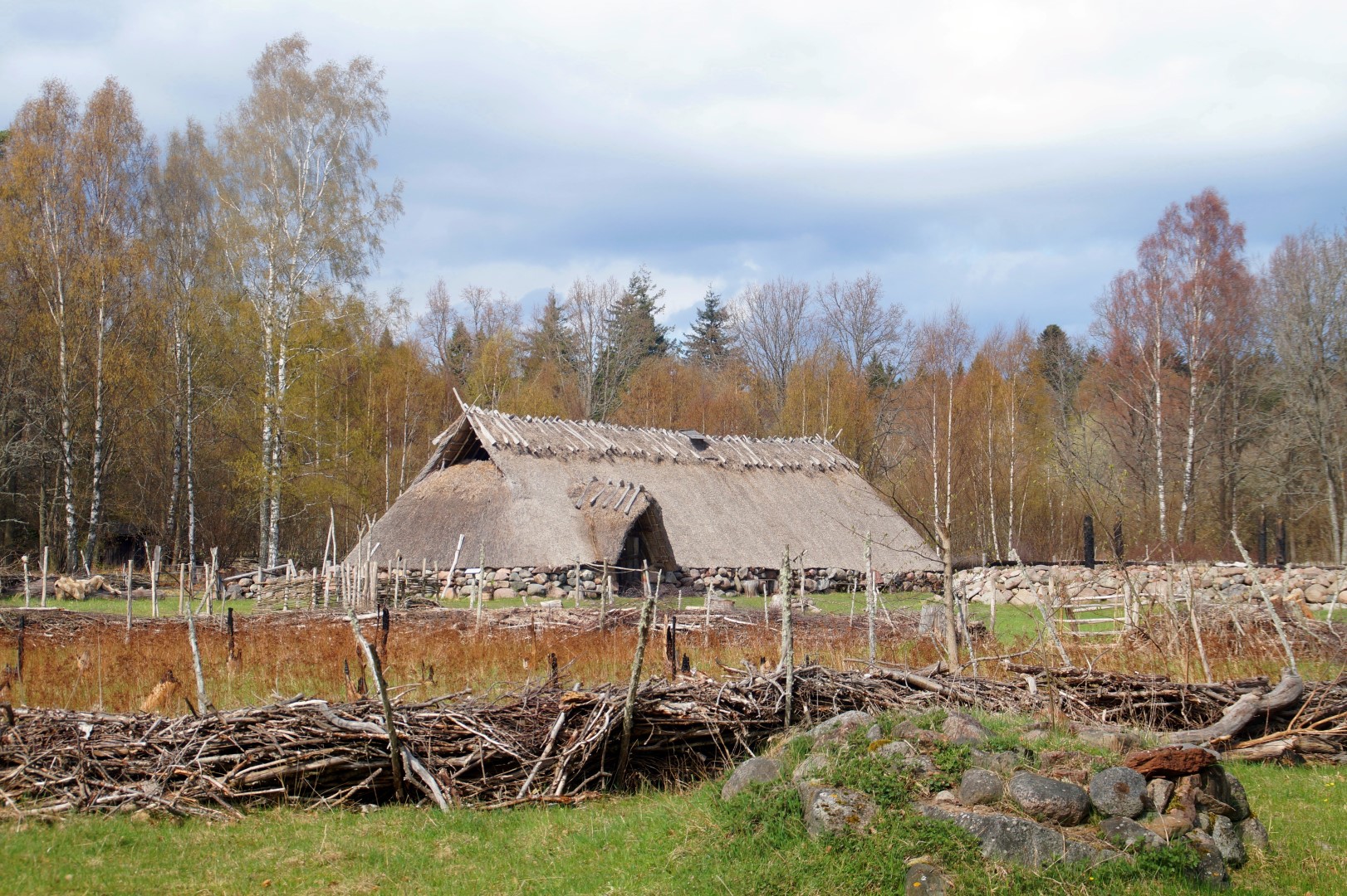
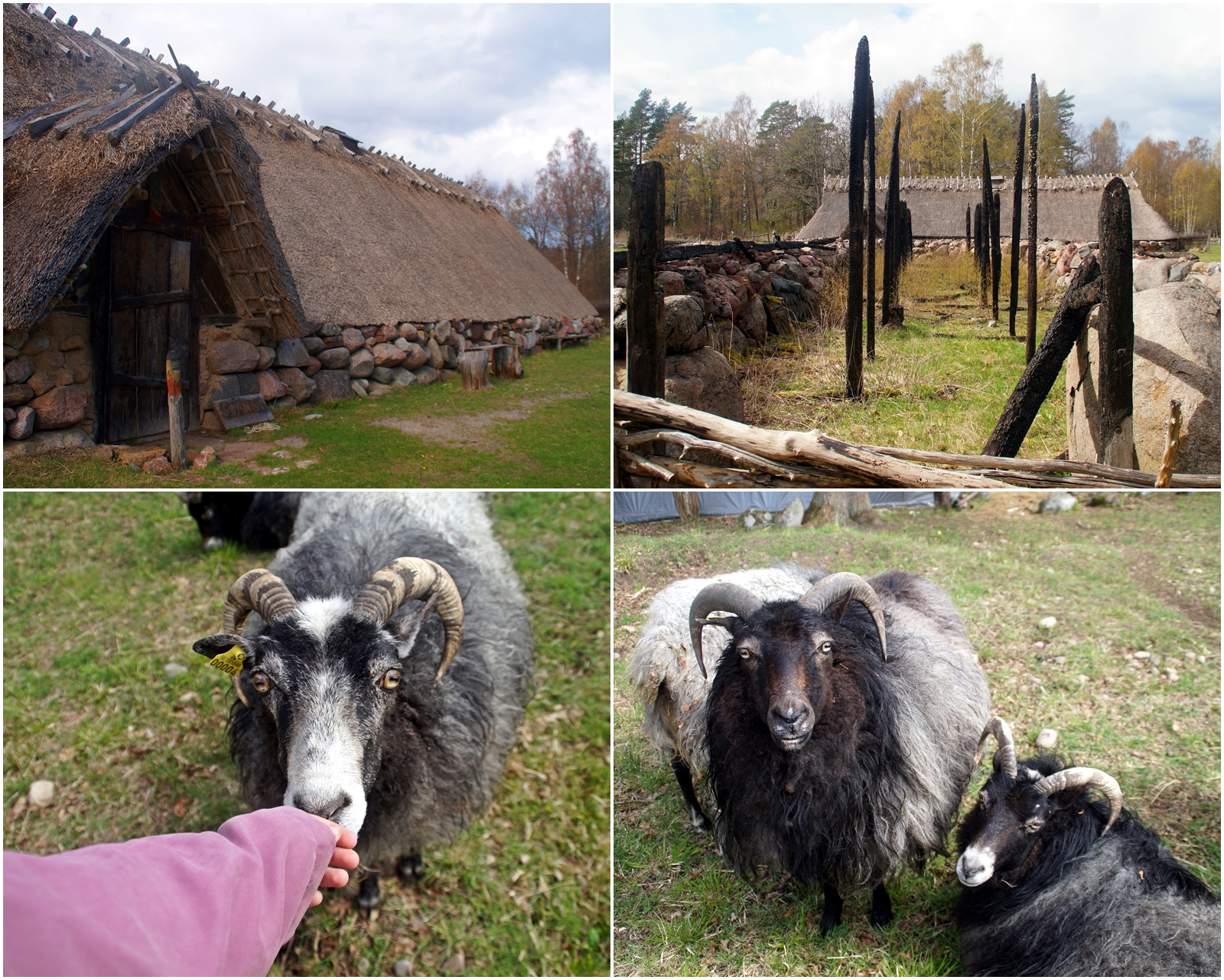
I was heading to Skäftekärr, which houses a small reconstructed iron age village, made to look like the real deal from about 500 AD. The museum wasn’t open, so I was only able to stroll through the area and look at the buildings from the outside. The place reminded me of my beautiful workplace, the Land of Legends, where we also have a reconstructed iron age village, only ours is bigger, but the area in Skäftekärr is just as beautiful.
I then headed back to the west coast and further up north to Byxelkrok, a small fishing village, where I bought myself some lunch that I enjoyed while driving slowly further along the coast.
Not far from the village lies another nature phenomenon, the Neptuni åkrar, which is a cobble beach that is a result from stones that eroded through the movements of waves during the last ice age. On the cobbles, it’s possible to find many fossils from Brachiopods and Trilobites, which are one of the earliest known group of anthropods and are now extinct.
A the very south part of the nature reserve, there’s also a Viking Age graveyard!
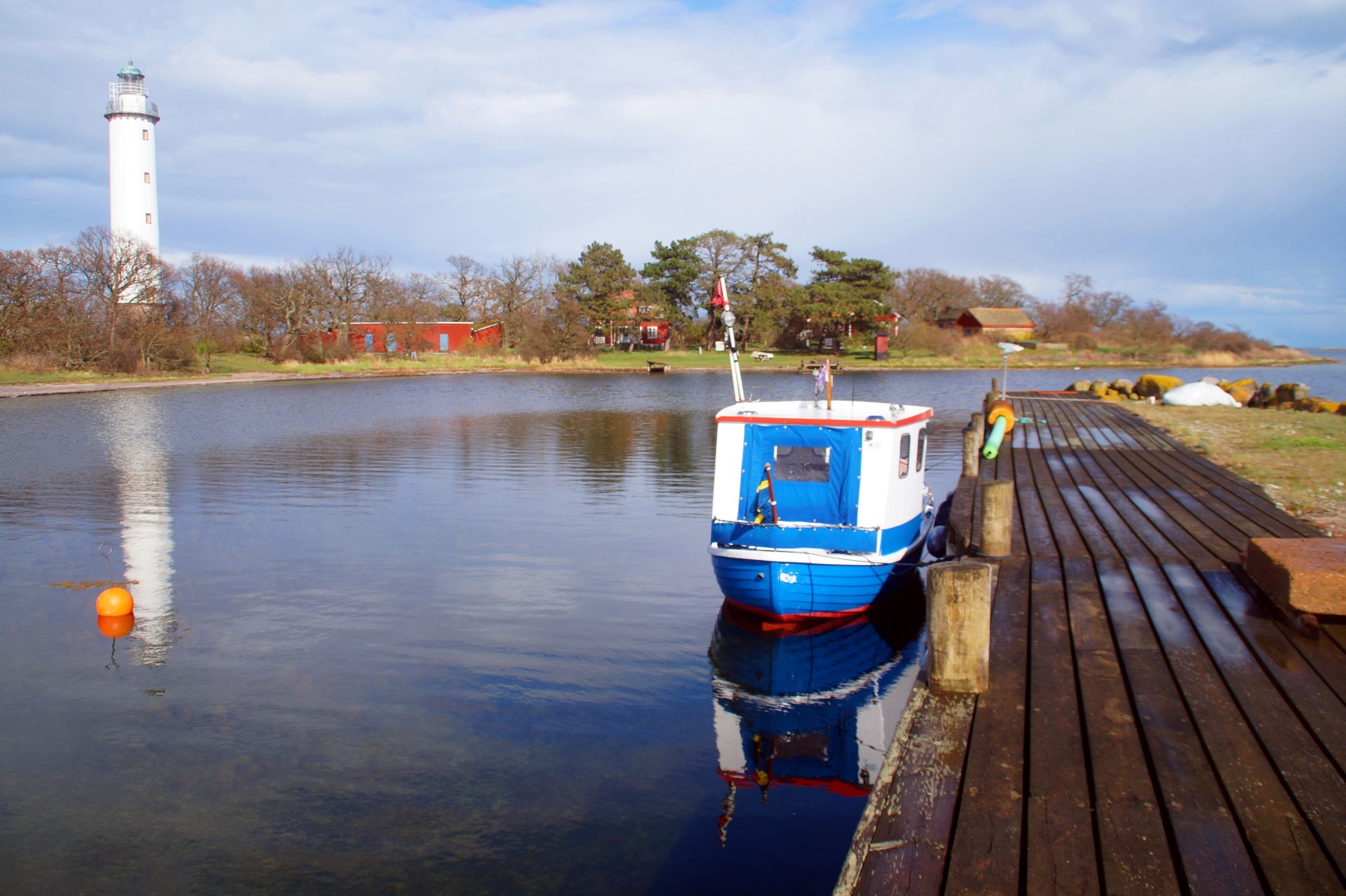
The next stop was the one that I was most excited for – the northernmost end of the island! I drove as far as I could until I came to a little pedestrian bridge that lead to the tiny island of Stora Grundet with the historic lighthouse Långe Erik, built in 1844, and the connected buildings from the early 1900s. I followed the Fyrstigen trail around the tiny island and had great views of the Grankullaviken bay throughout. I loved that little island, and what made it even better was that I had it all to myself! The north part of Öland is much less touristy than the south, as I’d find out the next day…
The weather was really weird that day, as it kept changing from sunny and hot to heavy rainfall to hailstones and back to sunny. Thankfully, I had more dry weather than wet, so I did really enjoy the day, although the rain always seemed to come when I’d just gotten out of the car to go for a long-ish walk. It happened the first time when I was walking the Fyrstigen – and, would you believe it – again, when I was walking a 4,5 km trail through Trollskogen.
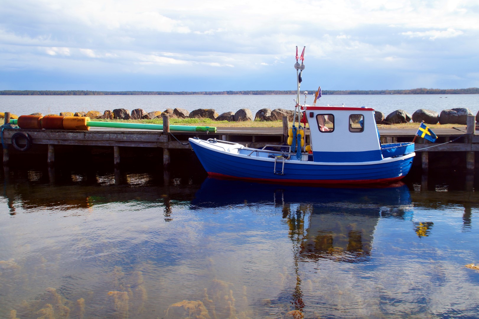
On my way back to the car from the lighthouse, I spotted the cutest boat I’ve ever seen! It was extremely tiny and painted in the cutest blue and red colours. I want one!


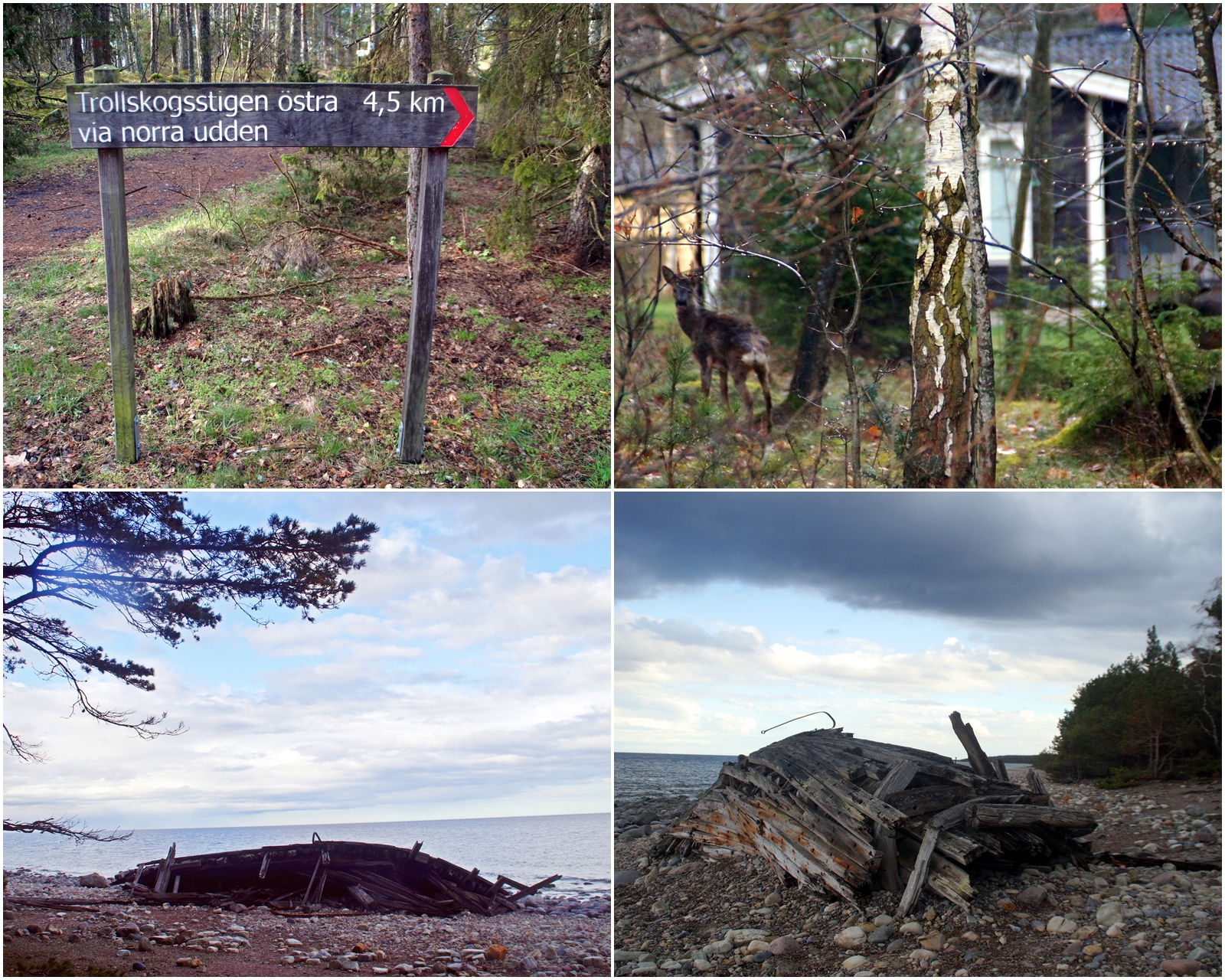
Afterwards, I decided to head northeast to enter Trollskogen, a windswept pine forest and nature reserve that is home to many interesting trees and mysterious historic sights. The forest is characterized by its lichen-covered pine trees, where most have been deformed by the wind over two hundred years.
The most interesting historic site in the forest is the Swiks shipwreck, a three-masted schooner from Åland that wrecked on the Northeast coast of Öland on December 21st 1926. The ship, holding a crew of seven, was on its way from Flensburg in Germany to Mariehamn on Åland when a snowstorm forced the ship to round north of Öland in order to seek shelter in the city of Kalmar, but the ship got stuck in sand dunes below the water near Trollskogen, forcing the crew to abandon the ship and escape in a lifeboat. Until the 1950s, the ship laid off the shore until a winter storm threw it up on the beach, where it has stayed until this day.
I wanted to explore as much as possible of interesting Trollskogen, so I decided to follow the longest of the hiking trails through the forest, which is 4,5 km long. The trail took me past all the interesting sites and out to the edge of the island, where I could see Långe Erik in the near distance.


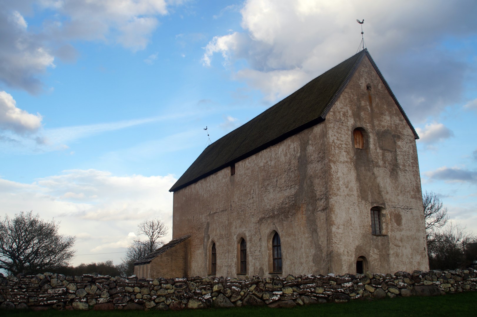
After the 1-hour walk through Trollskogen, I decided that it was time to call it a day, so I found my way back “home” to Borgholm in my rental car. But on the way, I made a short detour, as I wanted to see the oldest church on Öland, Källa gamla kyrka, a stone church which was built in the 13th century on the site of an 11th century wooden church. The church was abandoned in the 19th century and has since remained intact and with only minor adjustments since the Middle Ages.

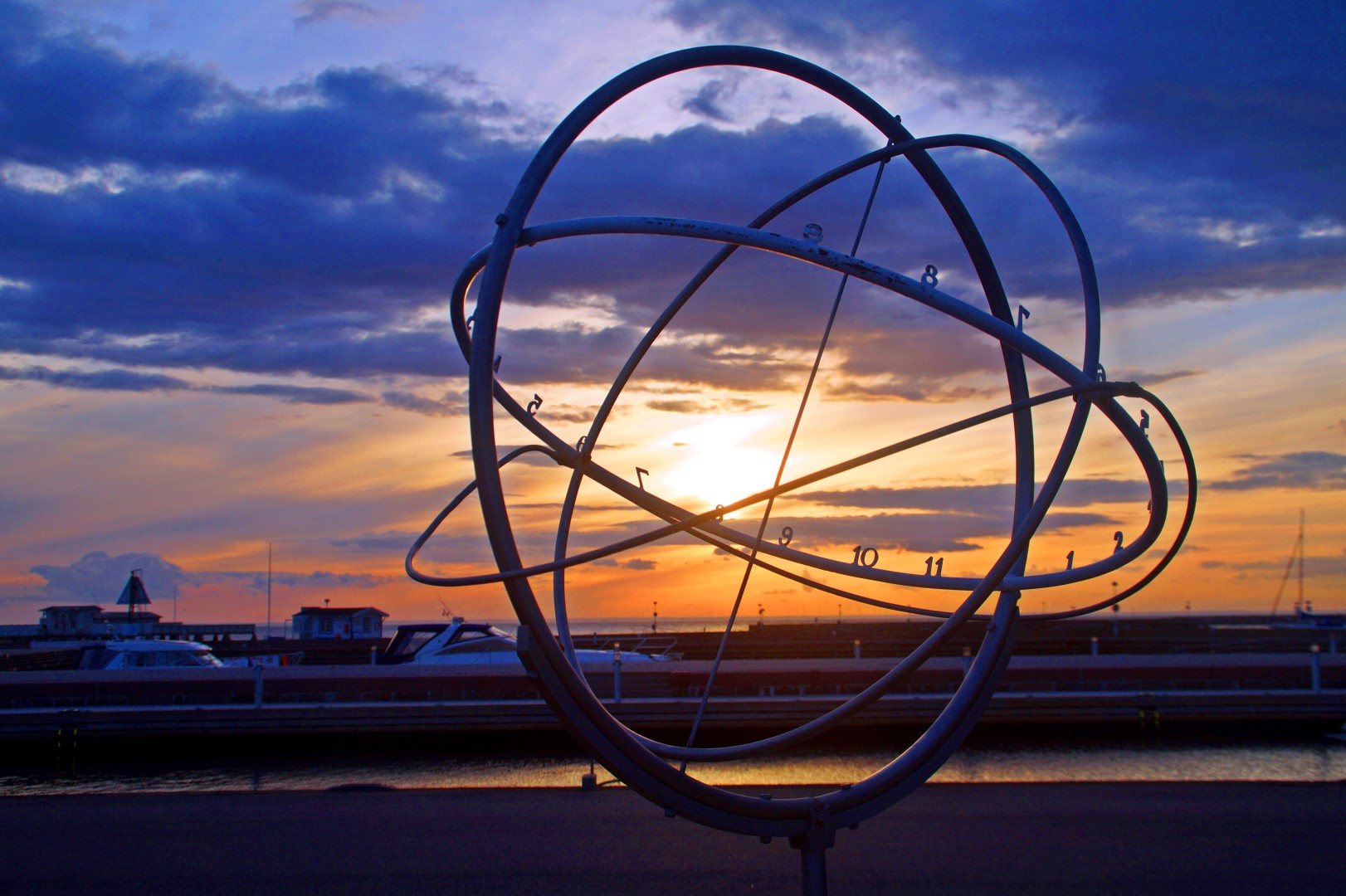
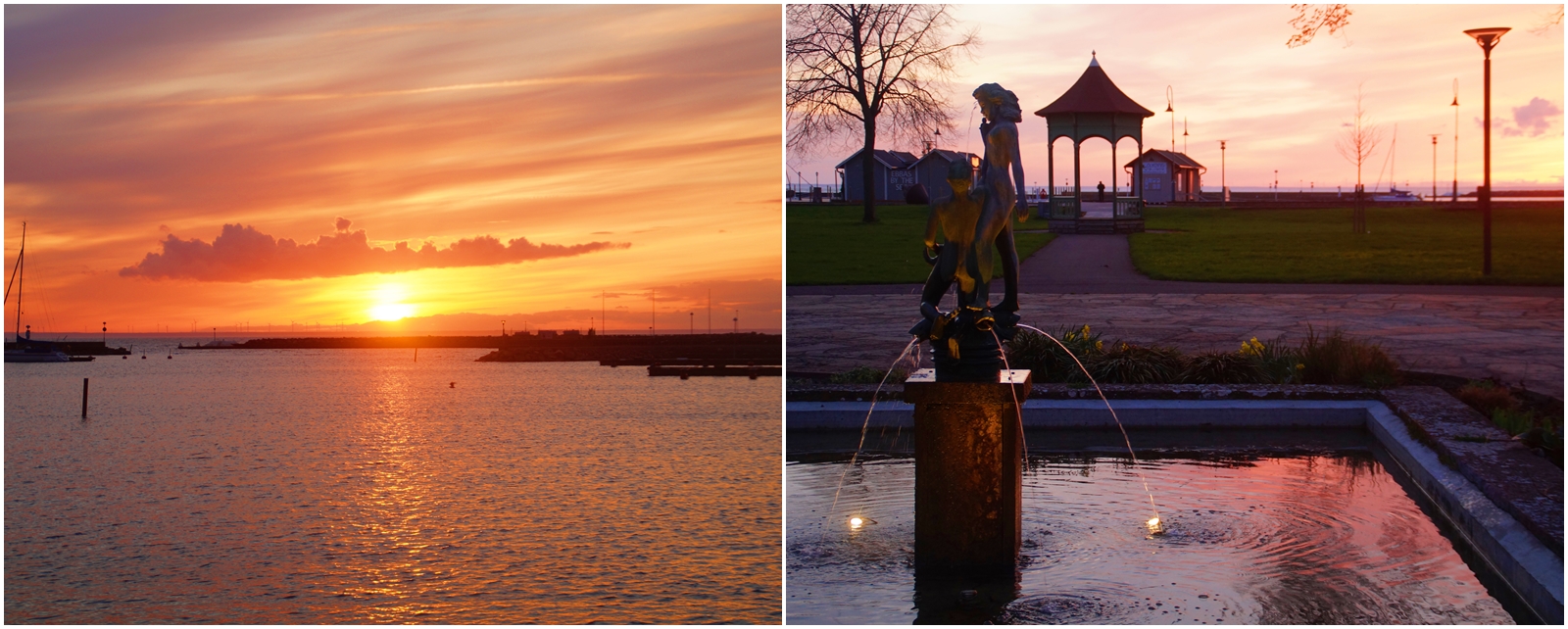
I got back to Borgholm at 8 PM, grabbed a pizza at the nearby restaurant, watched the colourful sunset and then tried to concentrate on writing my exam.
Exploring the north part of the island had been great. I’d come to love Öland already, although I wasn’t ever in doubt that I would as I really love the Baltic Islands. Now I was excited for the next day, which was dedicated to the south part of the island!

Leave a Comment
Pingback: My June 2018: Summer in Montreal and Peru – Northtrotter on 26/06/2018

1 COMMENT