This post contains affiliate links. If you make a purchase through these links, I may earn a commission at no extra cost to you. Thank you!
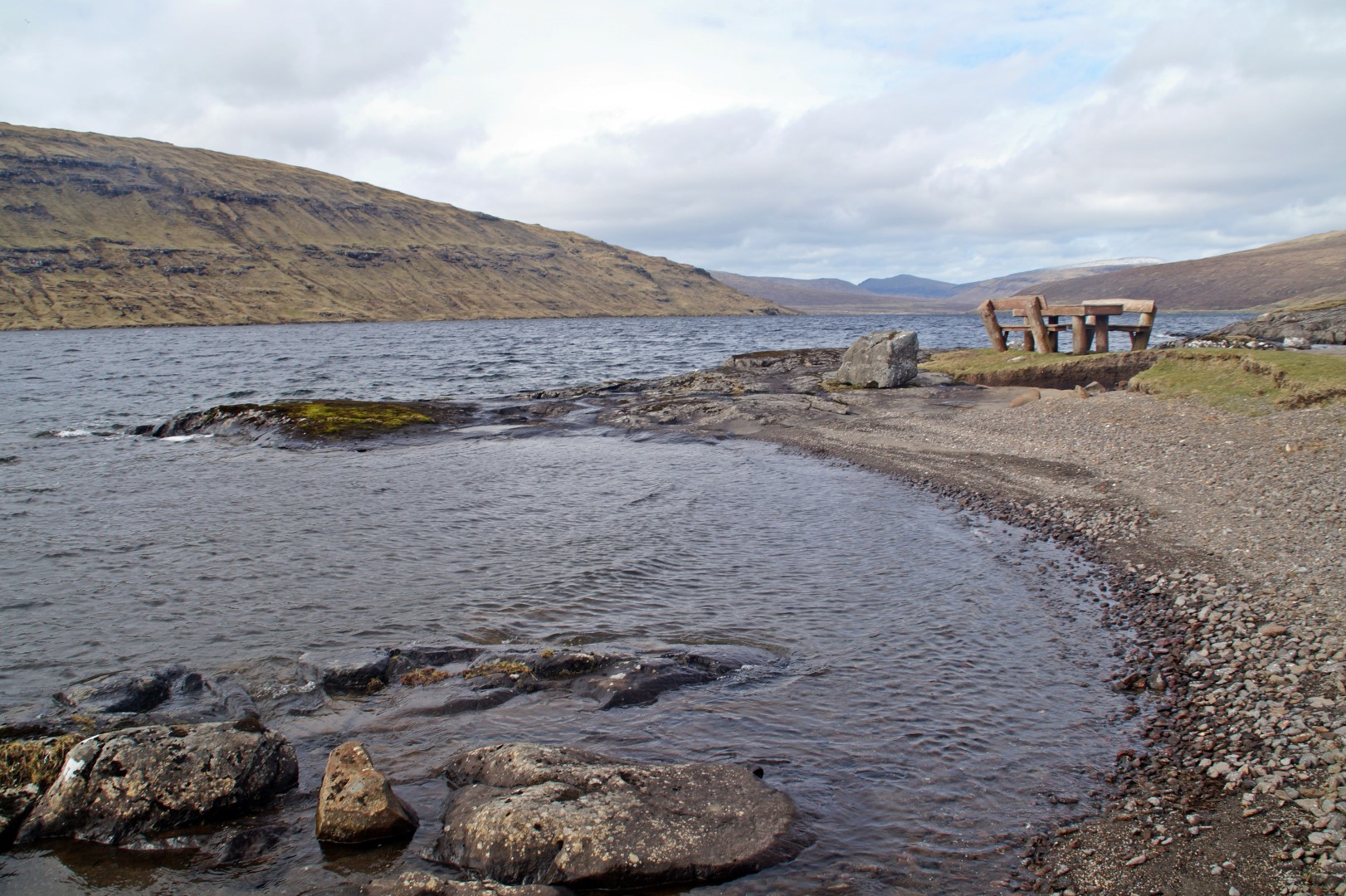
On April 10th, Katrine and I left Hoyvík for a few days to visit one of my Faroese families in Vestmanna. But first we wanted to head back to Vágar, as we’d both been dying to get back to Lake Leitisvatn after we found out that we’d missed ‘the best view in the Faroe Islands’, when we went there in August.
Trælanípa (‘the slave cliff’), which is famously known as the mountain where vikings used to throw down slaves, is also very famous for the otherworldly views that you can get from the top. It’s one of those insta-famous places in the Faroe Islands that in recent years has lured many photographers to the country. So of course we had to see that as well.
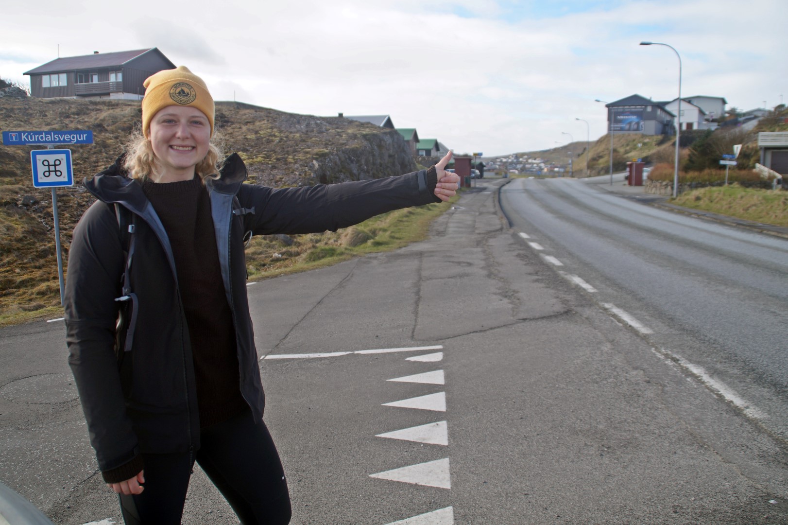
We set off early in the morning after Poul had gone to work, and stood ourselves on the main road leading out of Hoyvík. We were ready to start hitchhiking again, like we did so much back in August. We quickly caught a ride, and then another one, and soon after, we arrived by the lake on Vágar and started the hike.
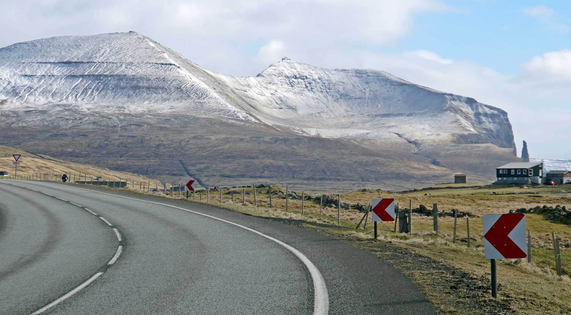
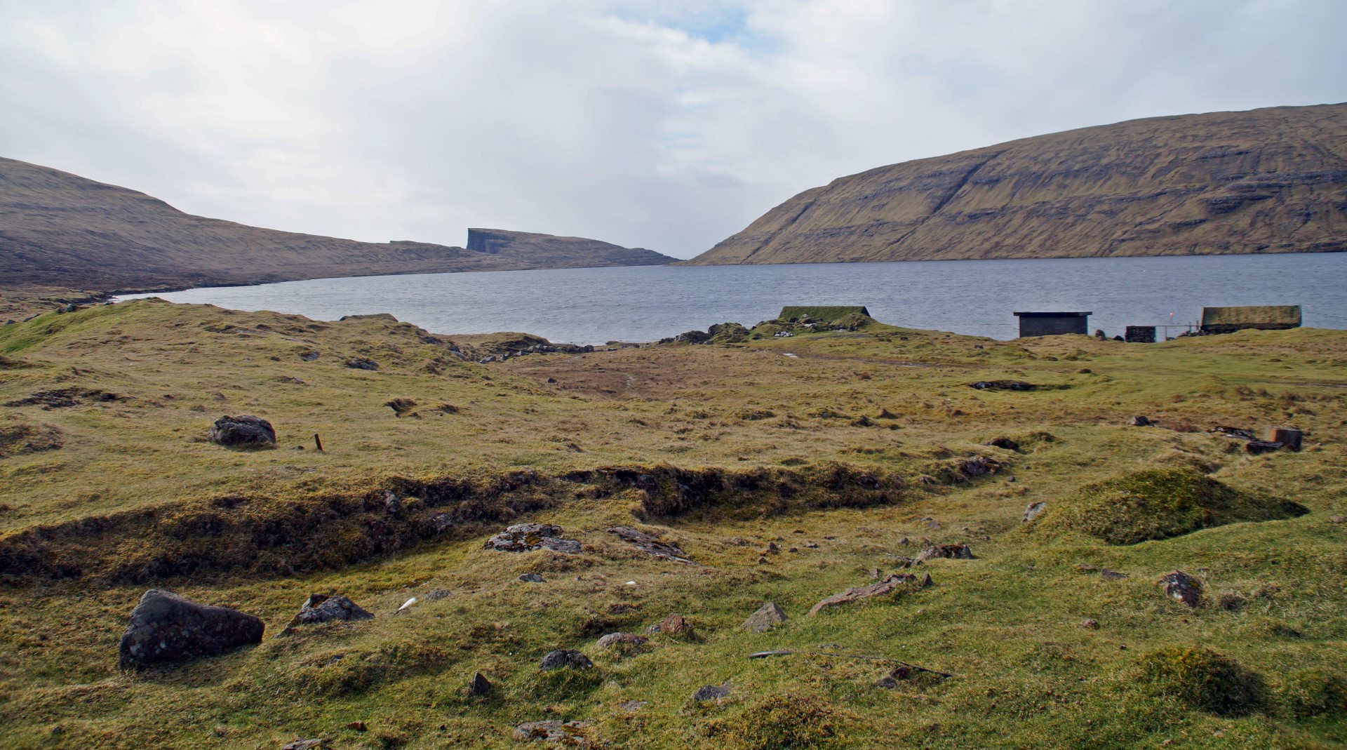
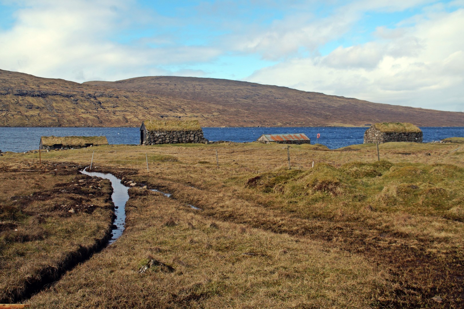
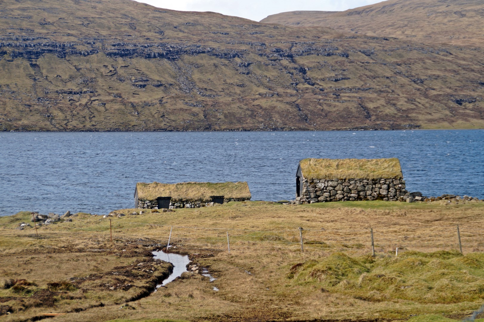
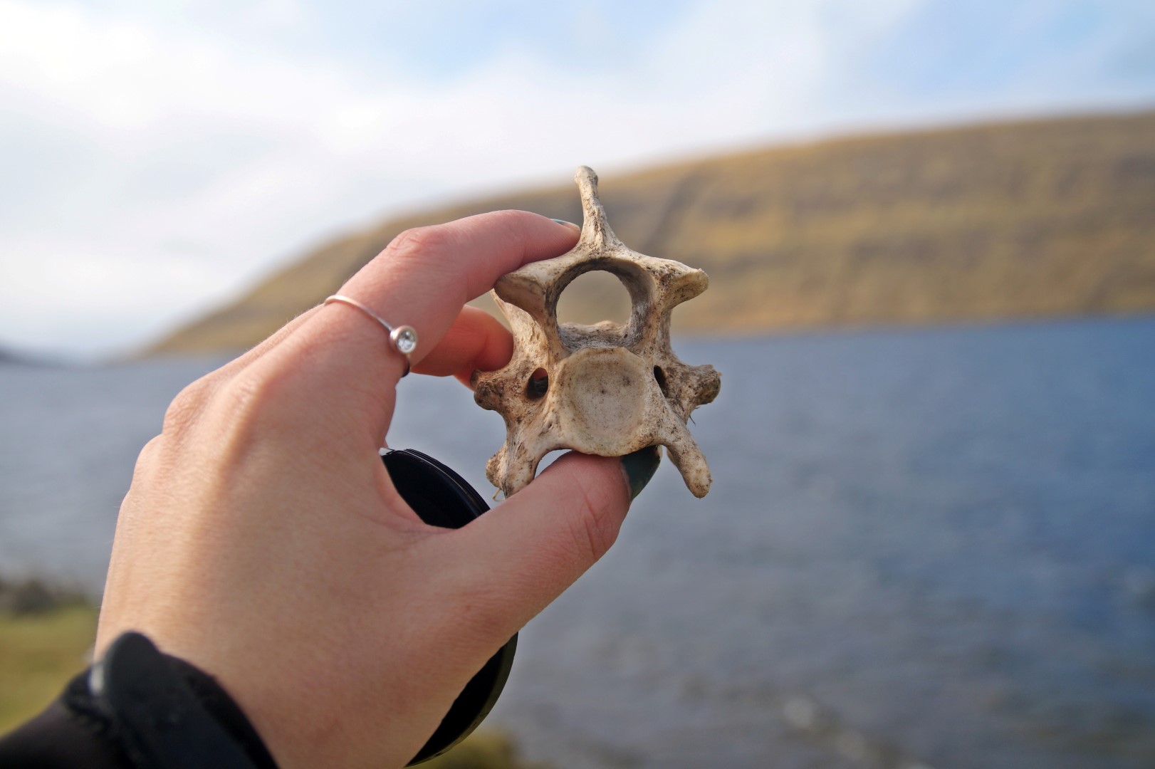
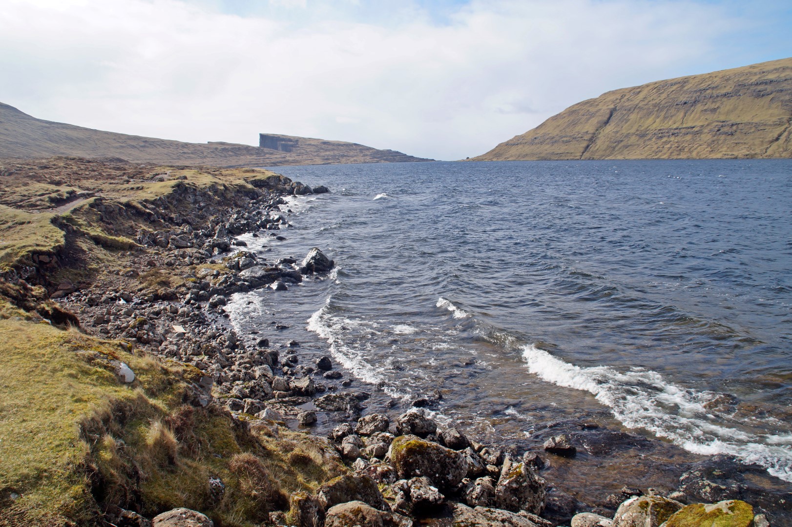
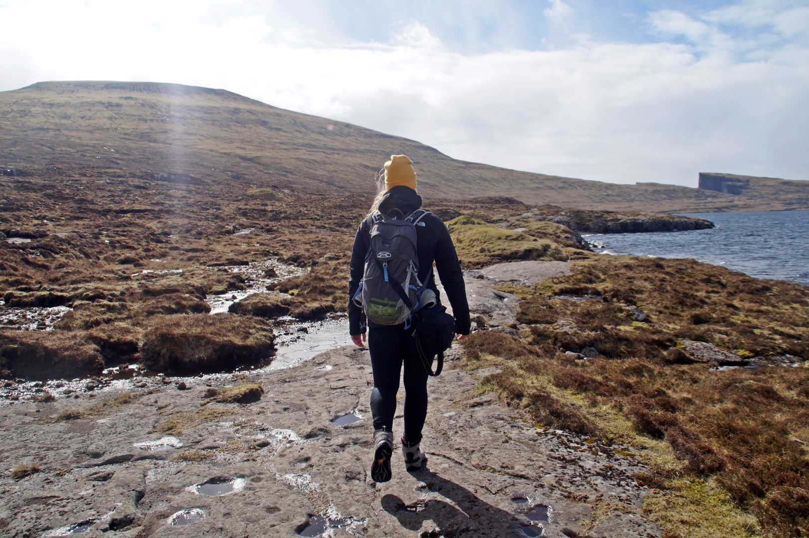
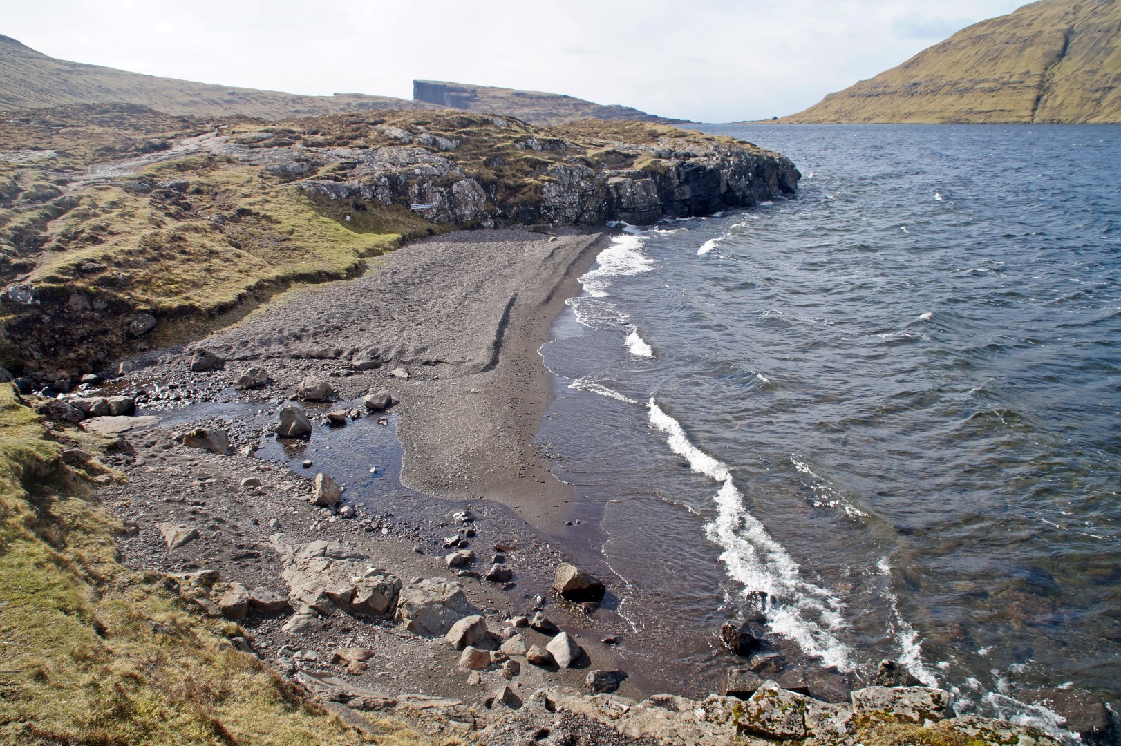
Our mission, of course, was to walk to the end of the lake and then climb the small mountain of Trælanípa at 142 metres.
But I didn’t want to only see what everyone else sees. I wanted to find my own perfect view, and that I must say that I did. I decided to climb Ritubergsnøva, a mountain that I hadn’t ever heard of anyone climbing before. It’s the mountain that you see in all the pictures from Trælanípa, but that no one ever climbs.
At 376 metres, it’s not at all the highest mountain in the country, but it was tough to climb nonetheless. I went up straight from the lakeside, from the foot of the mountain, and then just started walking up, up and up. No paths, no signs, no nothing. Just a peak at the very top that I aimed for.
Katrine didn’t want to come along, so we decided to meet up again on Trælanípa. The mountan didn’t look that tall or tough to climb, but I underestimated it A LOT. It took me way longer than I expected, and after what felt like an hour instead of the estimated half an hour, I reached the top, bathed in sweat, but happy as ever.
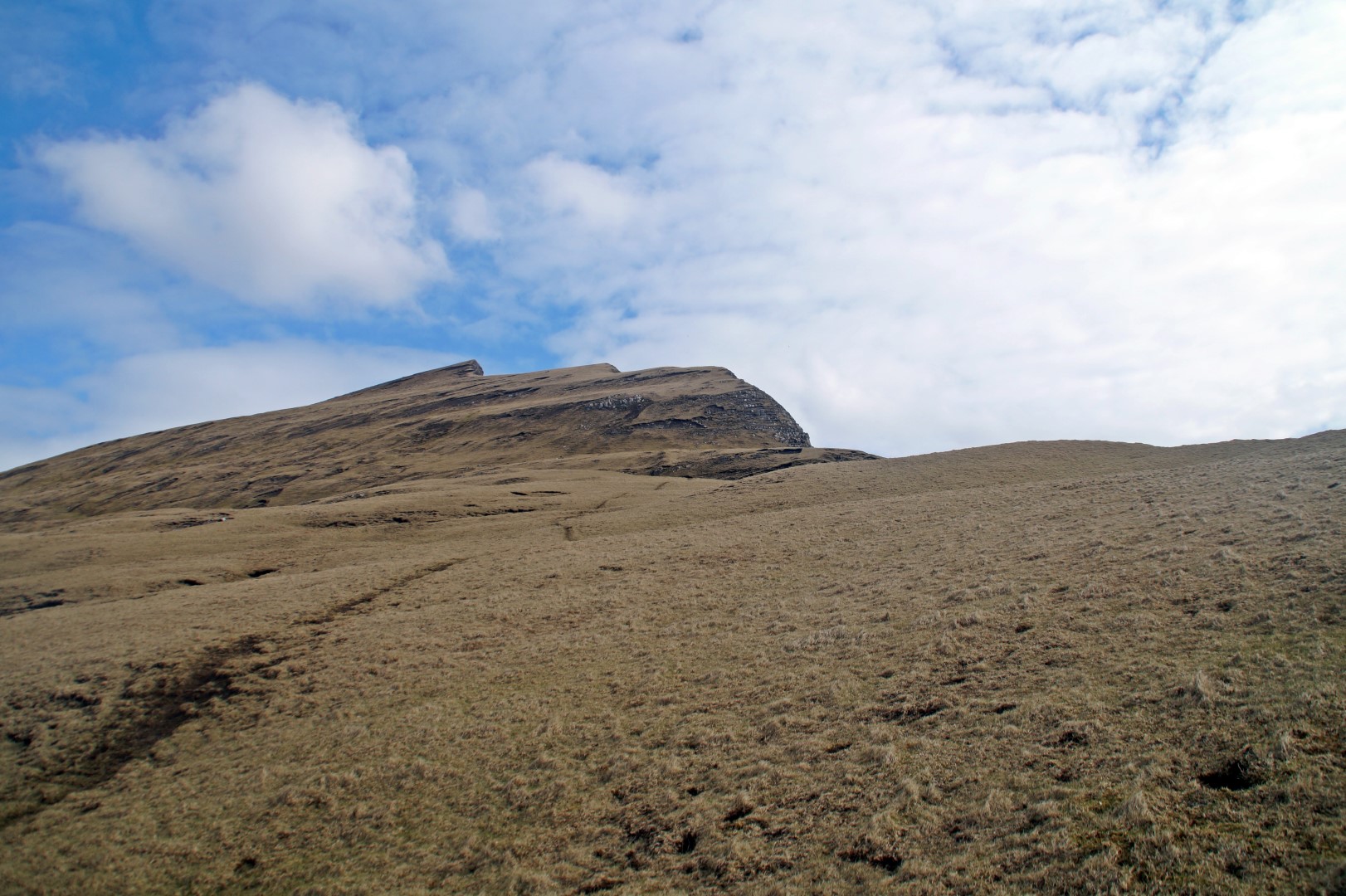
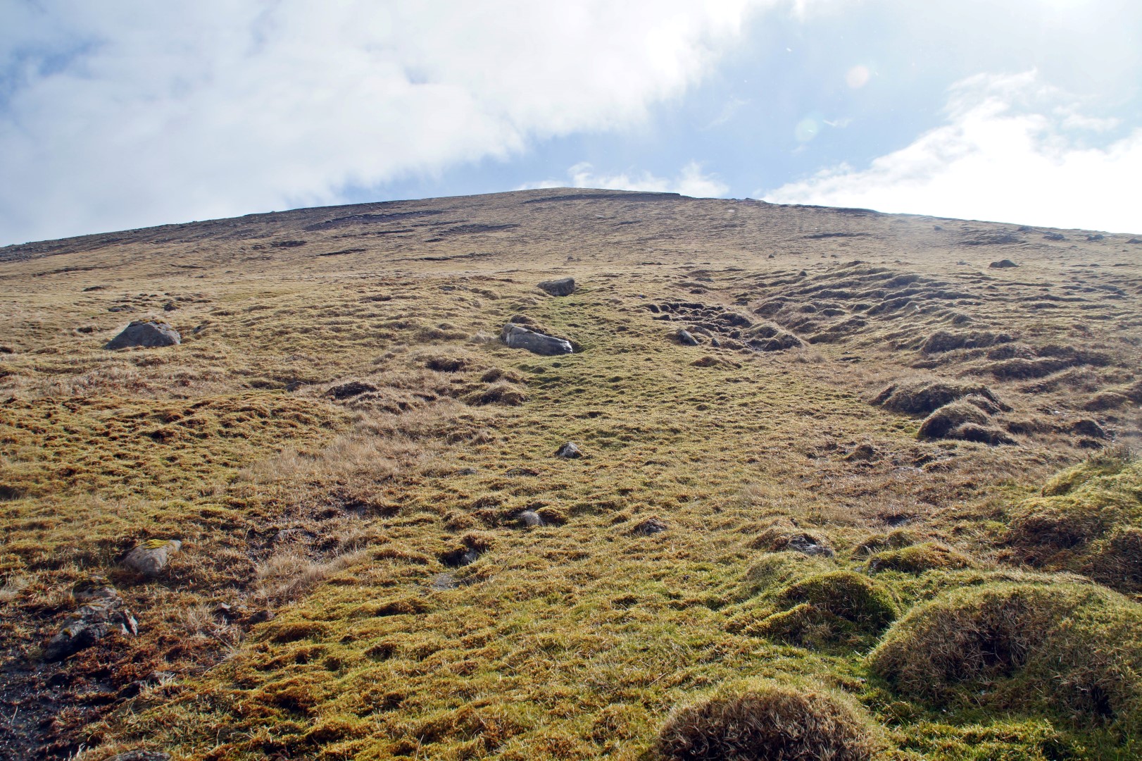
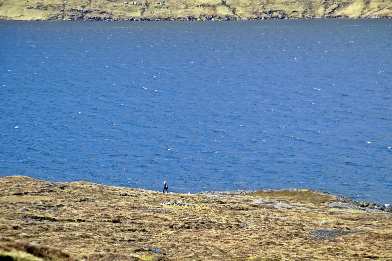
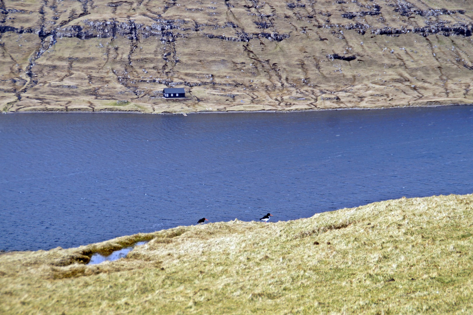
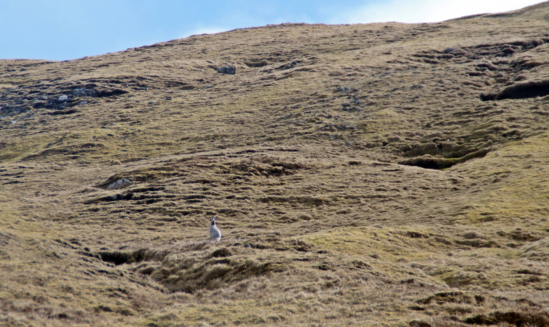
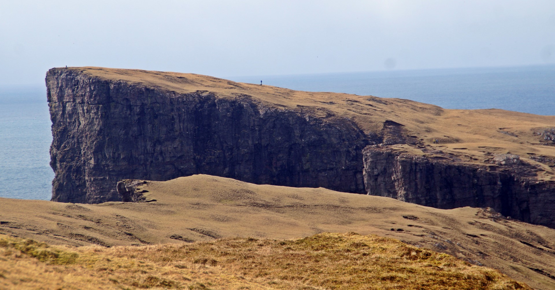
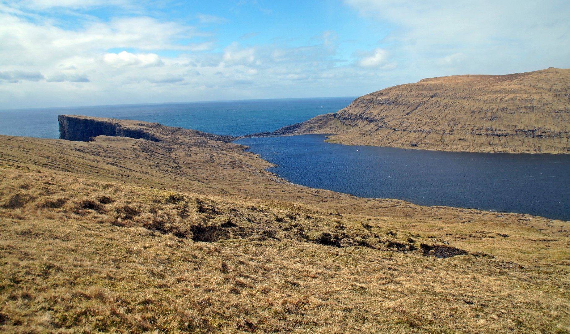

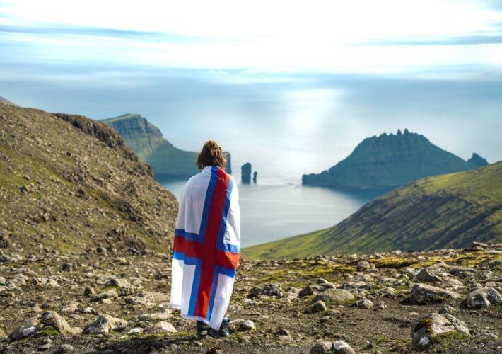
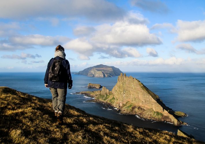
The view from the top of Ritubergsnøva was just like I had imagined and hoped for. I could see the entire length of the lake and Trælanípa from one side. From the other side, I had a view of the islands of Koltur, Hestur, Streymoy and Sandoy. But to the right was my favourite sight. I could see all the way to Trøllkonufingur, where we went back in August, but the best of all were the dramatic cliffs falling vertically into the ocean, right by where I was standing. It was bird heaven. It was so noisy up there, but the good kind of noisy – the bird kind of noisy. I knew that I had to hurry back to Katrine, but I did take the time to just stand there for a little while to enjoy my achievement. I’d found a perfect new spot – and who knows, maybe a future insta-famous spot? In my opinion, the view doesn’t get any better than this.
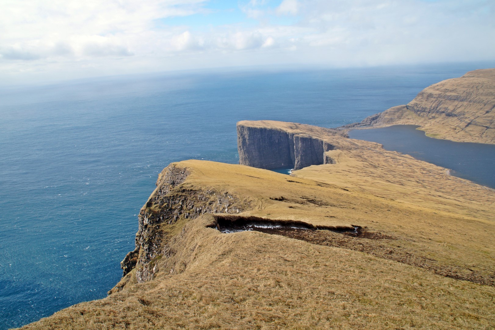
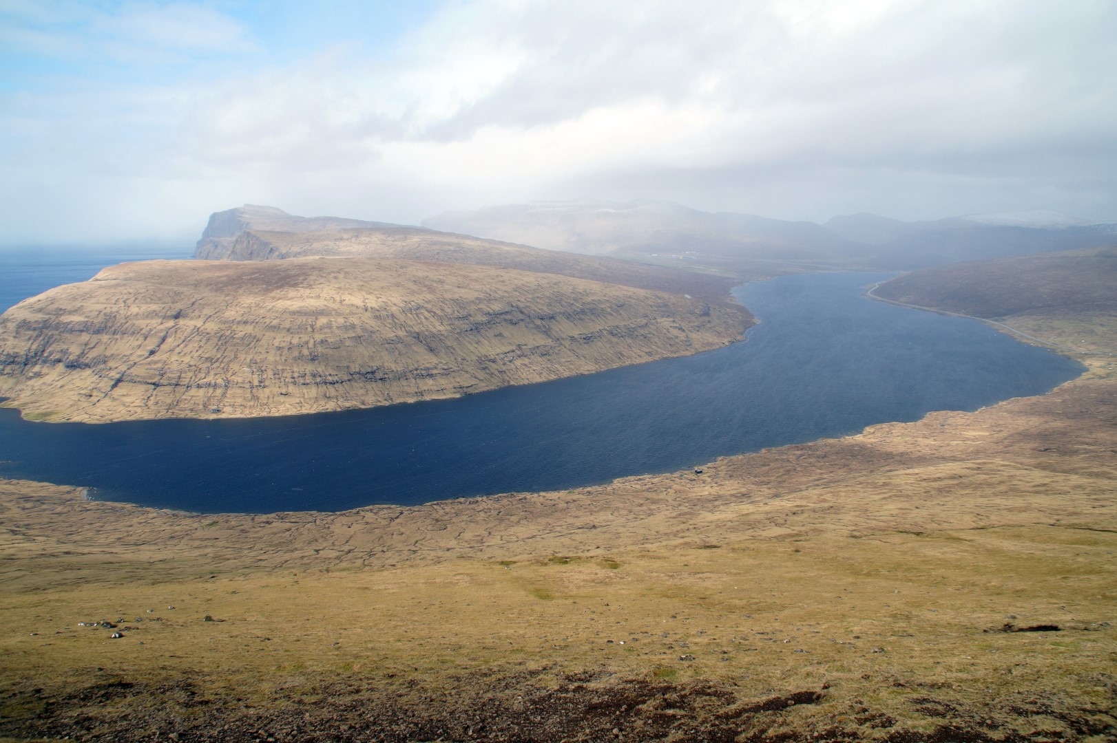
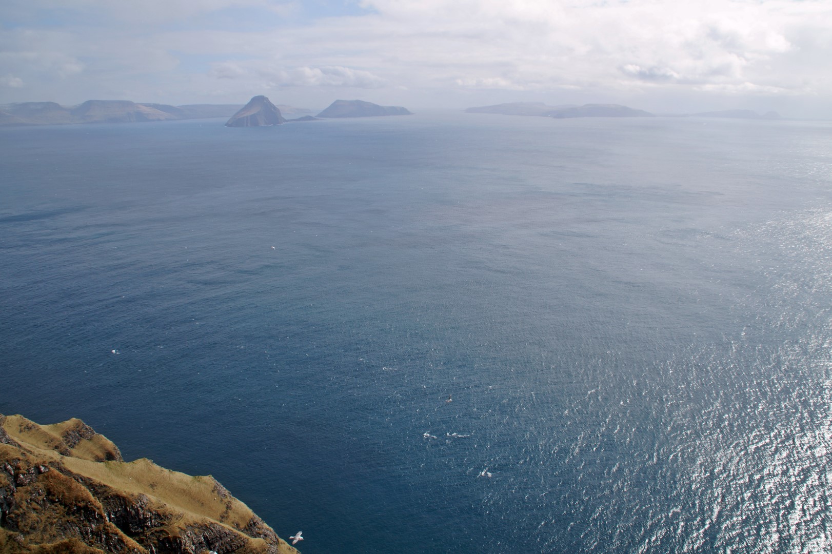
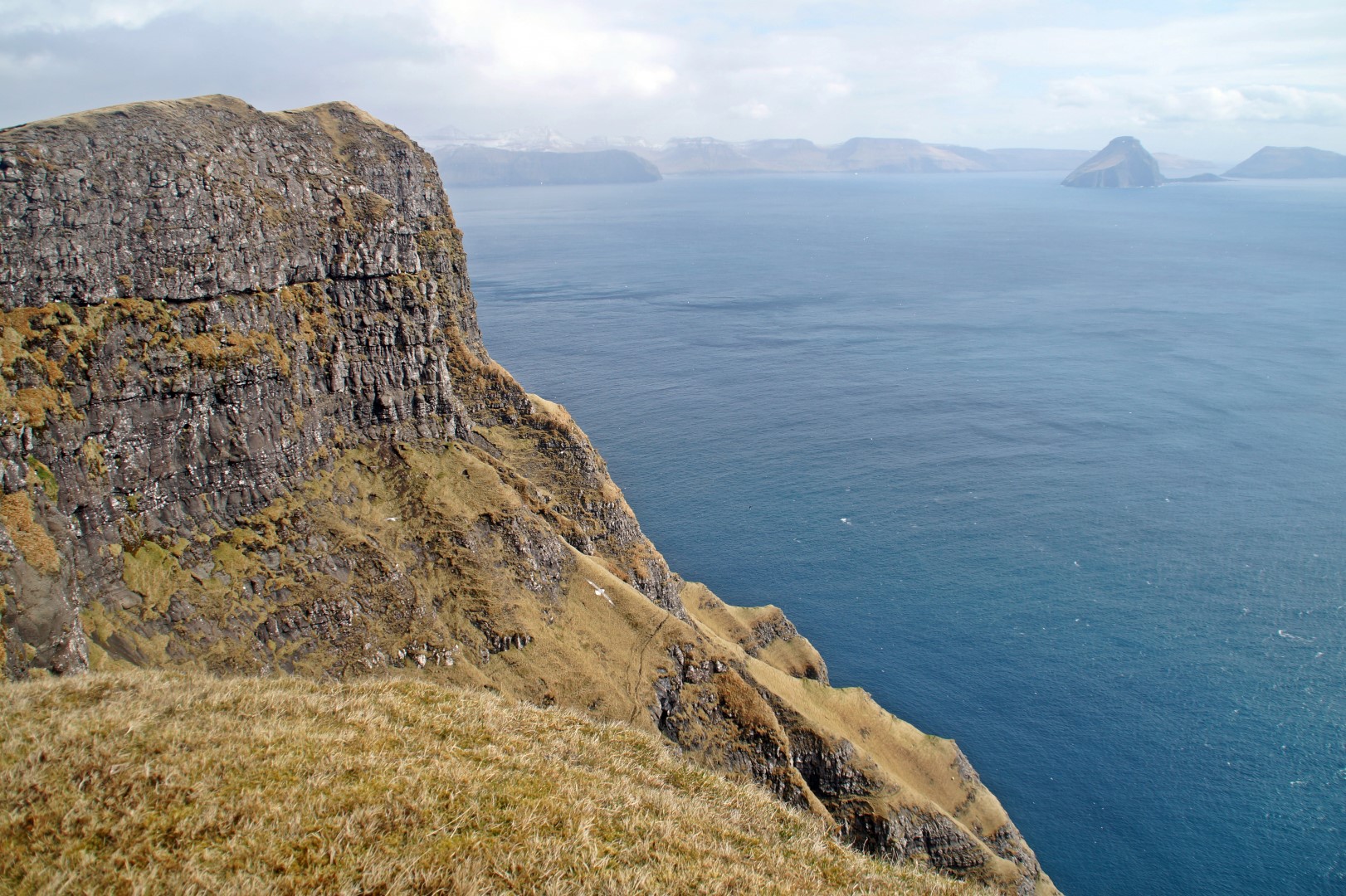
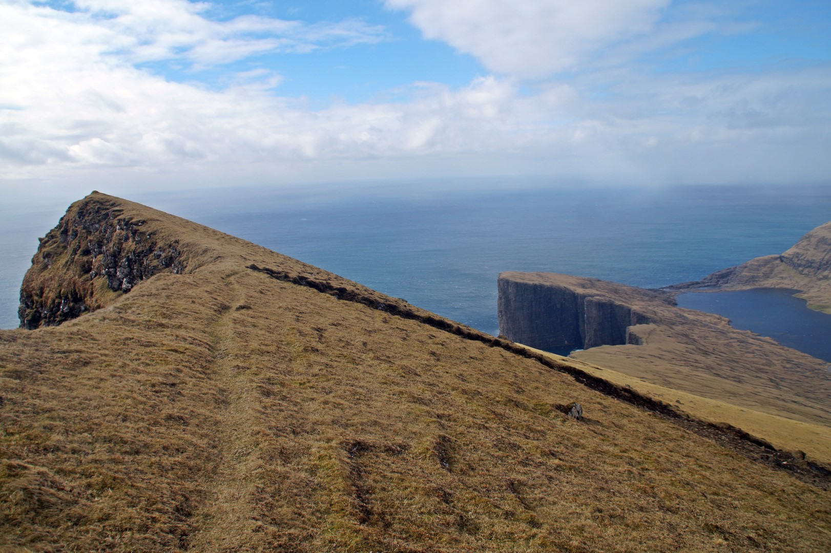
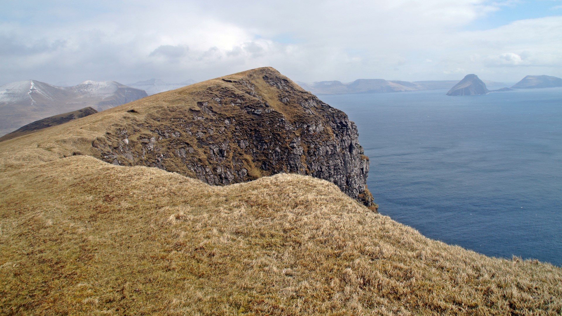
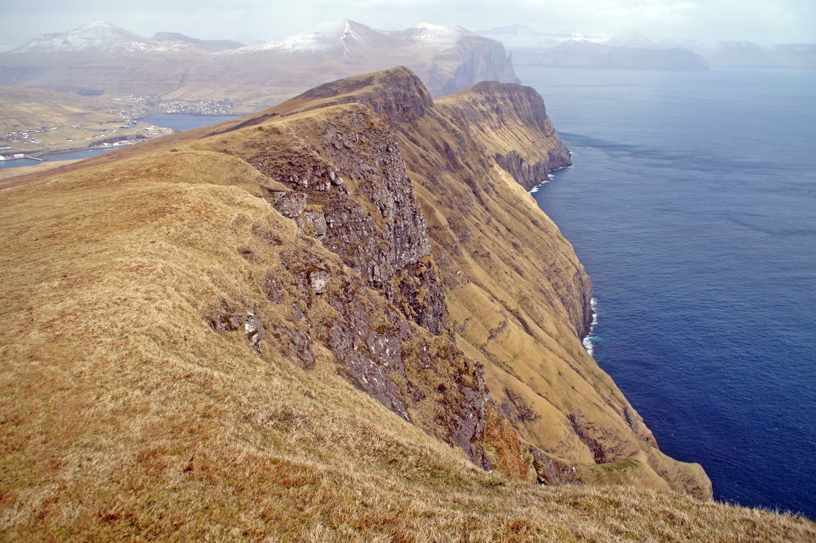
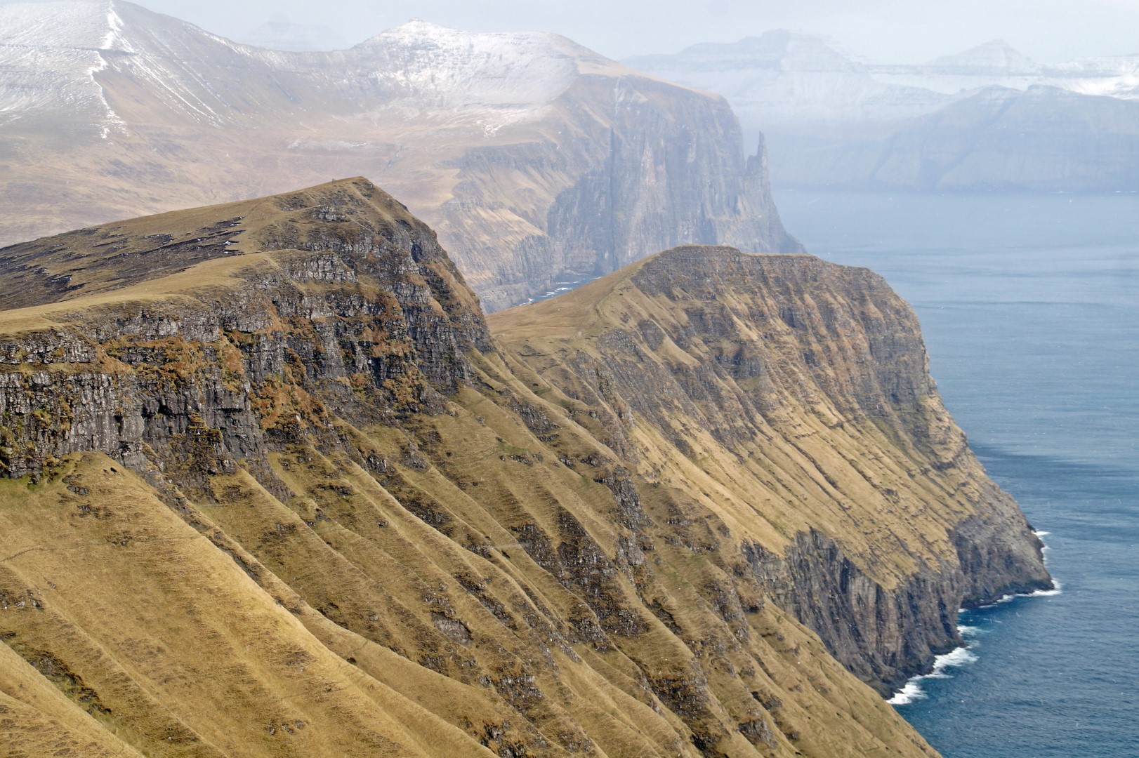
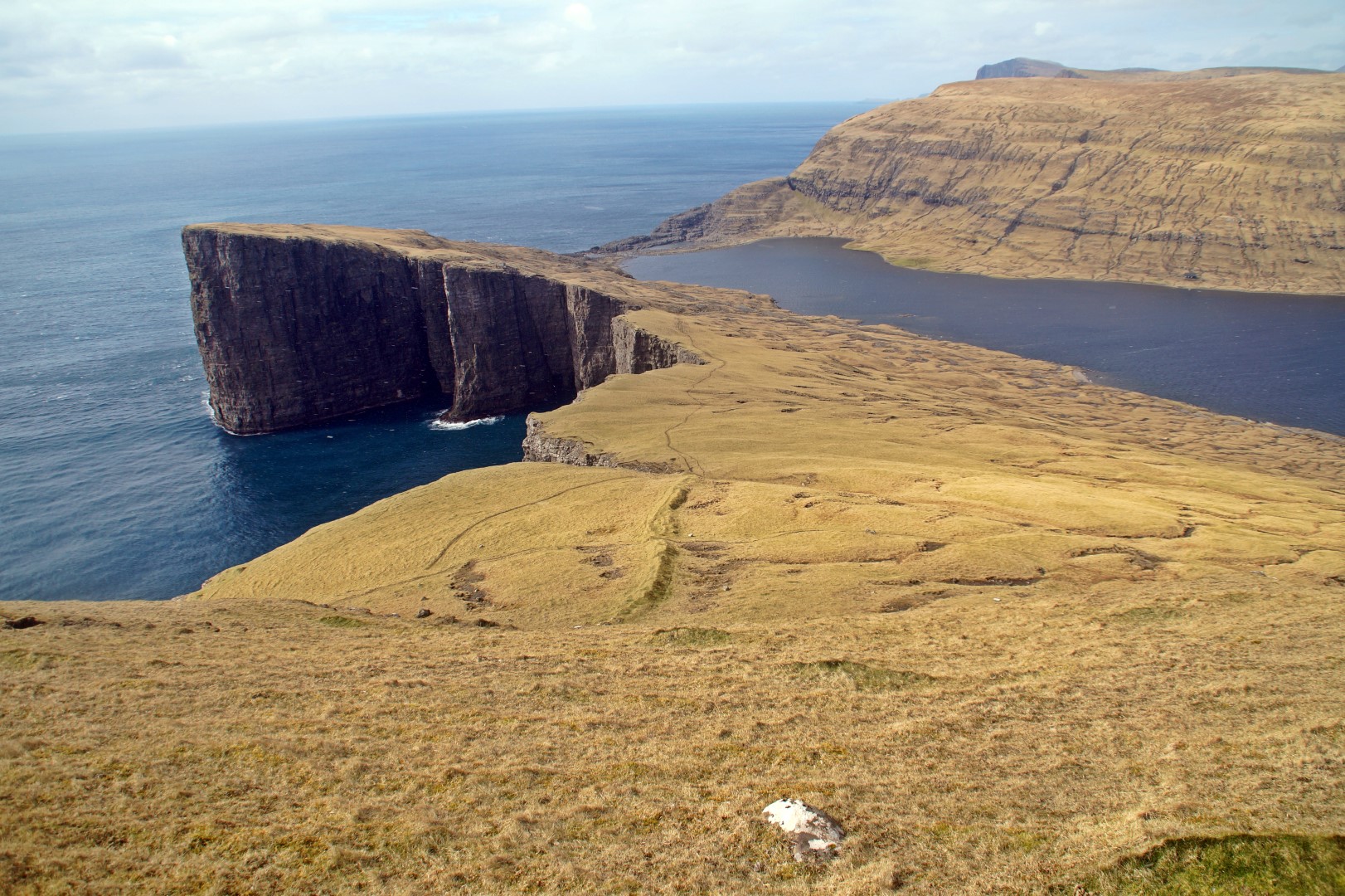
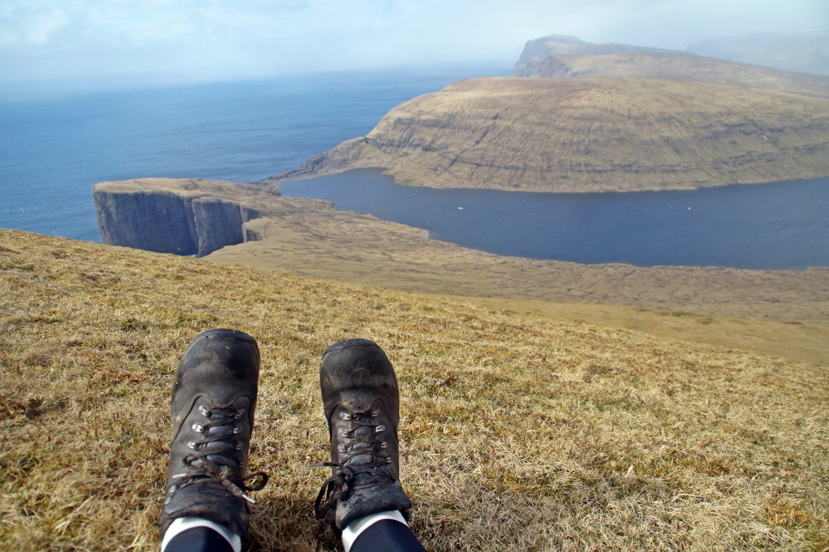
I hurried back down the mountain, half running and half falling on my butt. A few moments later, I reached Trælanípa and started hiking up that, looking for Katrine in every direction. Then I heard someone call my name. It was her; we had found each other. Thank goodness, because I was afraid I’d taken too long and she’d started walking back.
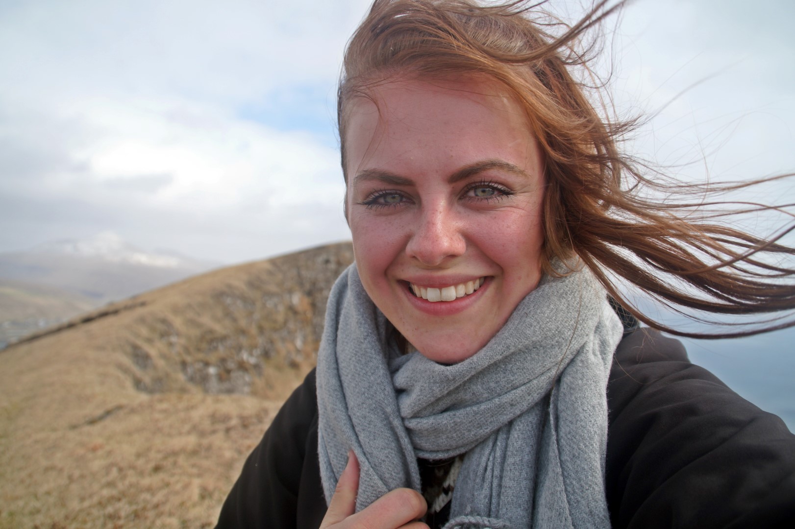
We sat on the top for a while enjoying the sun, took some obligatory photos of each other at that insta-famous spot, and then climbed back down and walked along the lake to Miðvágur, from where we started our hitchhike to Sandavágar, where we had our next adventure that same day (stay tuned for the next post!), before finally getting to Vestmanna in the evening.
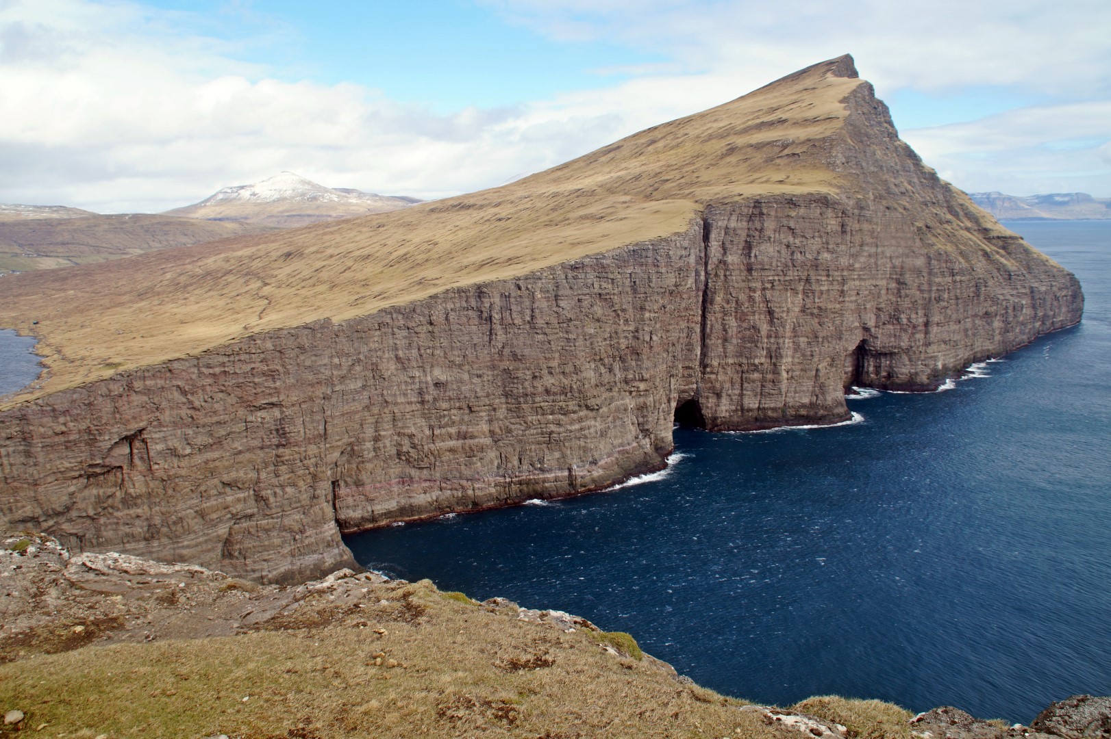
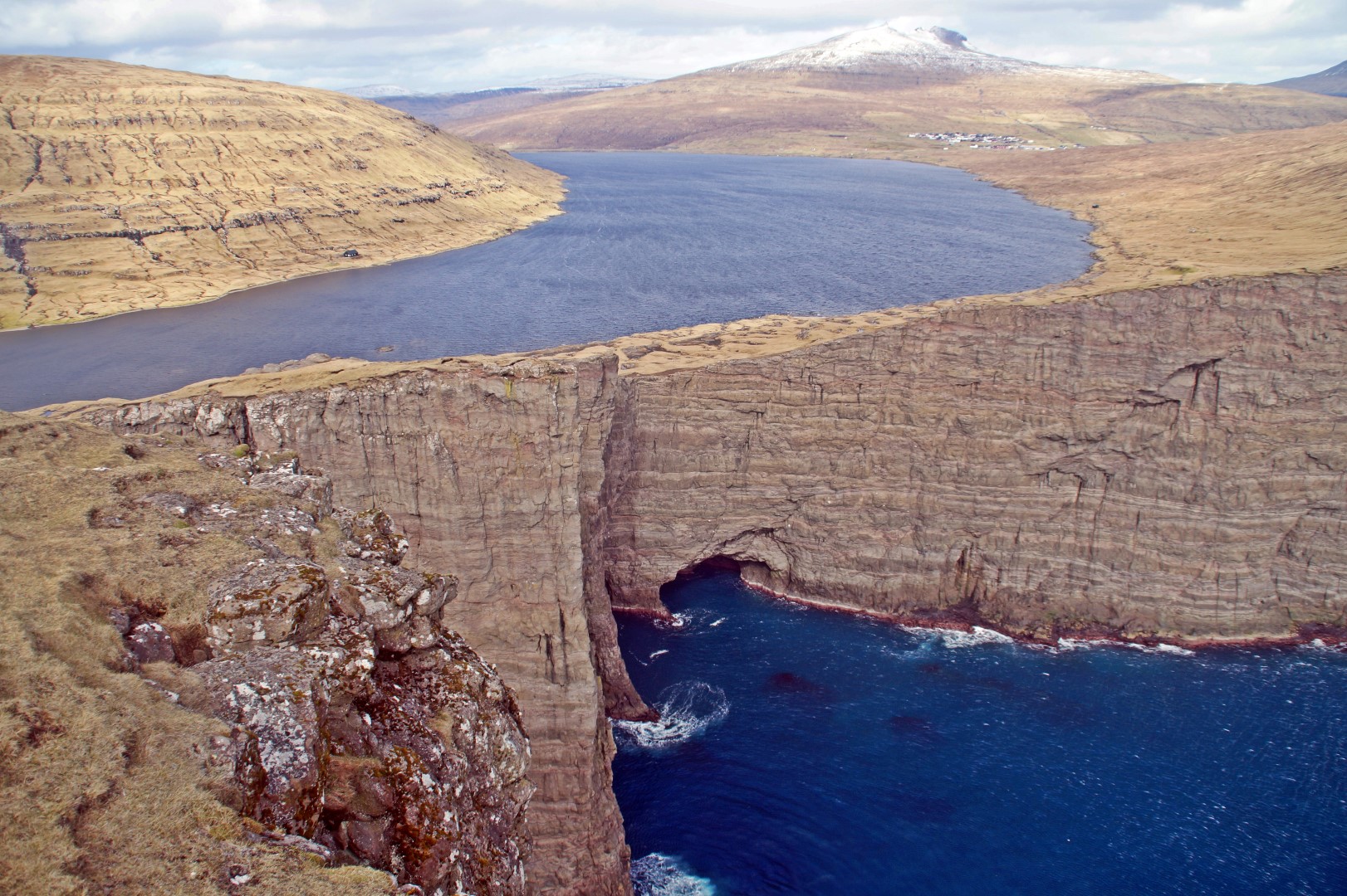
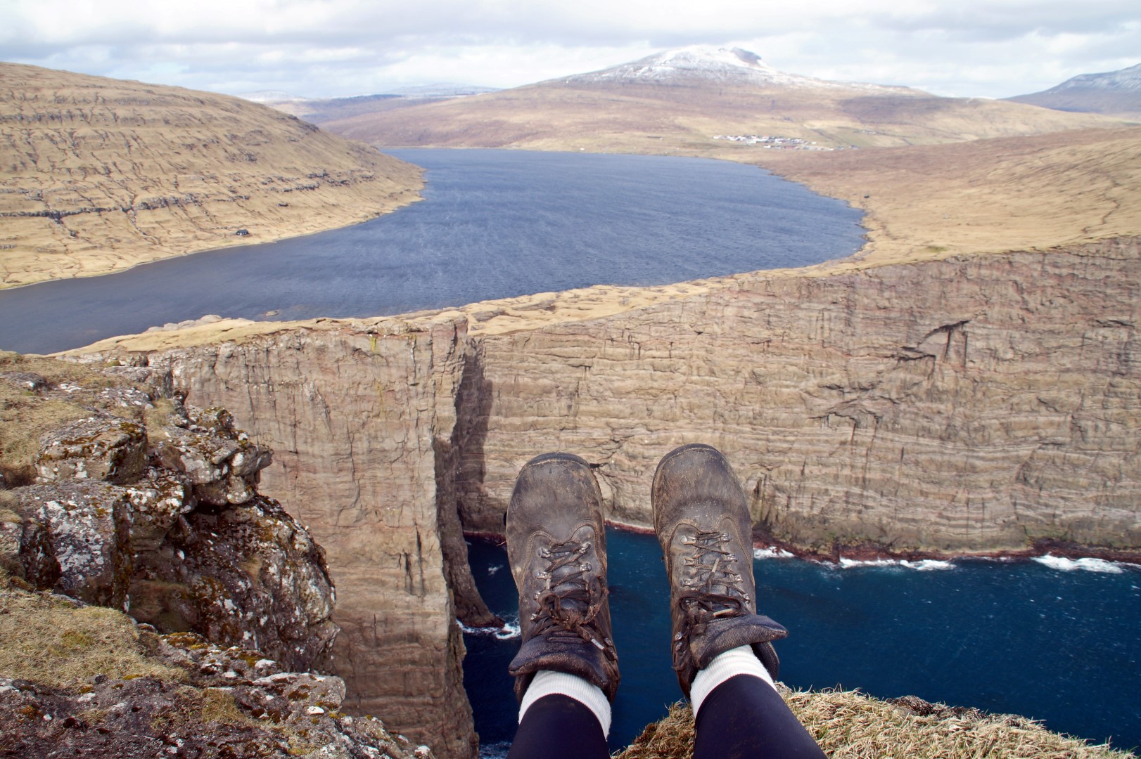
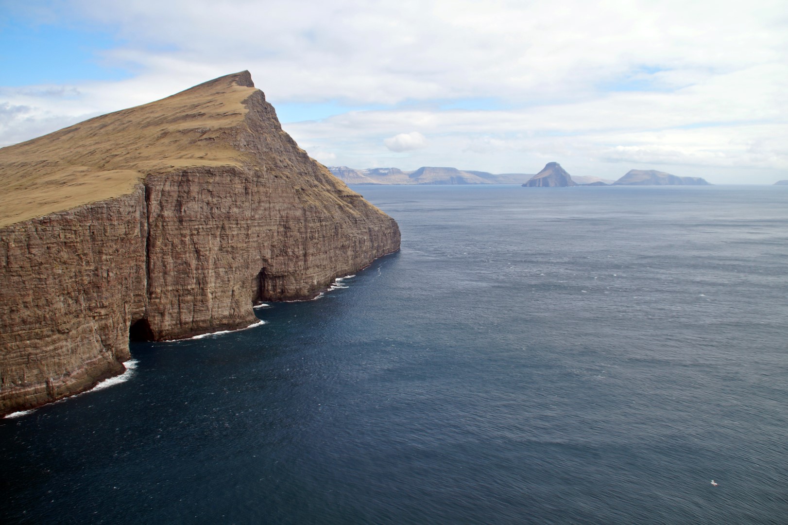
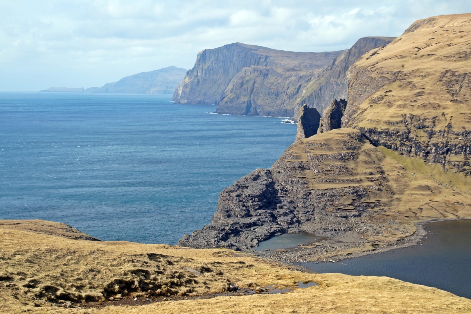
The view at Trælanípa was just as I had expected, absolutely breathtaking, but I do believe you need a drone to get exactly THAT view that the big instagrammers always post from their sponsored trips to the Faroe Islands. I probably won’t be getting a drone anytime soon, but someday, I’ll take a helicopter ride over that special place! In my opinion, the view from Ritubergsnøva beat the one at Trælanípa, and I would suggest for tourists without a drone to go there instead. It’s a tough hike, but it’s so worth it! It’s definitely one of the most beautiful spots in the Faroe Islands.
I’m already looking forward to coming back to the lake, so I can conquer the mountains of Middagsfjall and Ravnsfjall, to see what amazing views they have to offer.
Want to explore Leitisvatn and Trælanípa with a guide?
Make sure you don’t miss any of the iconic views and choose a hike with a local guide. This will also give you an opportunity to learn about the history of the place – and perhaps you can persuade the guide to take you up Ritubergsnøva too!
If you prefer an alternative way of getting to Trælanípa, kayaking might be the right choice for you. It’s a lot of fun and it’s cheap, too!
Leave a Comment
Pingback: Mountains above Lake Leitisvatn: Finding the undiscovered in a touristy area – Northtrotter on 07/06/2017
Pingback: Camping by Lake Leitisvatn – Northtrotter on 07/06/2017

6 COMMENTS
Sheena Rasmussen
8 years agoSå smukt! Vi havde også en vidunderlig dag derude – og vi vil helt sikkert gerne derud igen. Gerne med dig 😀 Der er så meget af Vagar, som jeg så gerne vil udforske!! Vi bør helt sikkert koordinere vores ture til Færøerne igen <3
Melissa Cherry
8 years agoDet ville være skønt at tage derud igen med jer! Vágar er en helt fantastisk ø, og jeg drømmer allerede om at bestige de andre to bjerge ved siden af Ritubergsnøva samt bjerget på den anden side af søen! Måske vi kan gøre det sammen? 😀 Jeg glæder mig allerede til vi ses deroppe igen!! <3
Ann
8 years agoWow, wow, wow, dear Mel, you did find your perfect spot. You know what you do not need any drone, you have already captured this place greatly, I vote for this spot and nominate it! Bravo!
Melissa Cherry
8 years agoI’m glad you agree, dear Ann! I’m actually not a fan of drones, since it’s not the actual place that you see for yourself, so I think you’re right! 😀