↠ Sponsored post ↞
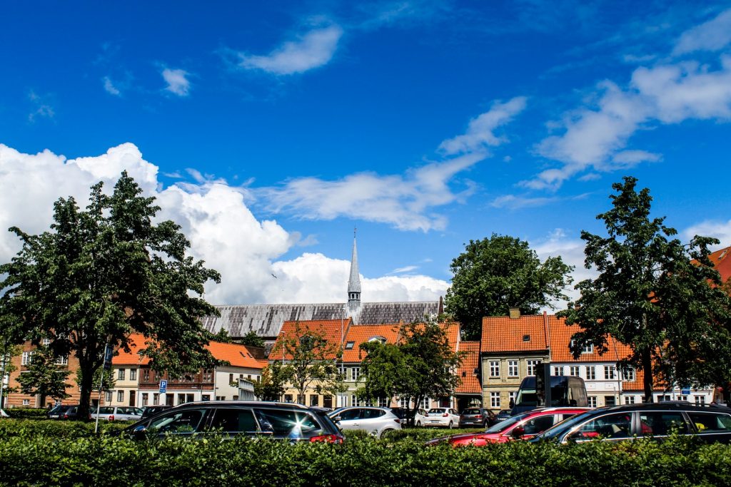
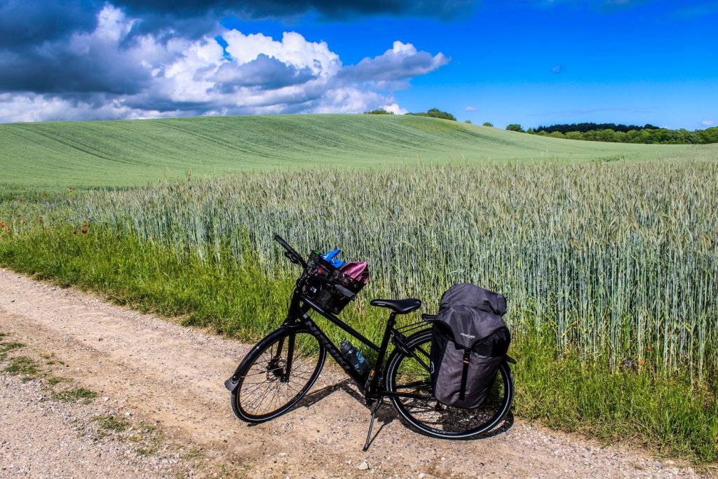
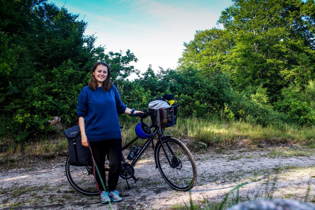
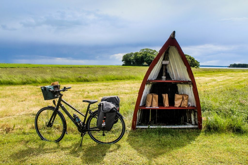
Nervously, I stepped into Tandhjulet in Odder to pick up my rental bike that was going to take me along Horsens Fjord over the weekend, on my first ever solo overnight cycling trip. In front of me stood a new black bicycle from Nishiki, a lot better and nicer than the one I usually ride to work. I was also given a bicycle bag to carry my camping gear, leaving me with only a small backpack to carry on my back. And then I was on my way. I said goodbye to my mum as I boarded the train to Horsens, the starting and end point of the journey.
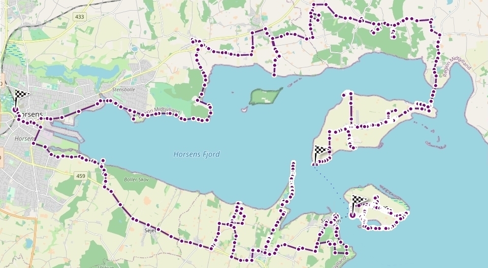
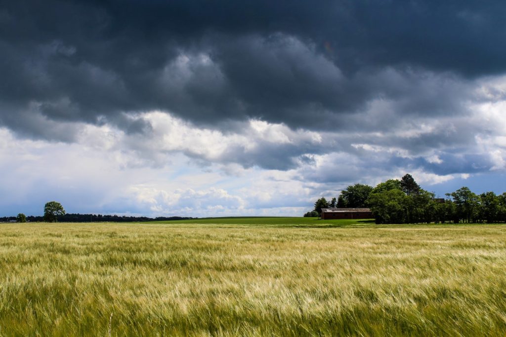
For the next three days, I was going to follow the shores of Horsens Fjord on an established 52-km biking route. The route can be completed in a day, but I chose to spend a lot longer so I could take it slow, do many detours and see as much as possible. I actually ended up biking/hiking 119 km in all over the course of those three days; 41 km the first day, 32 km the second day and 46 km the third and last day!
Along Husoddestien to Husodde Beach
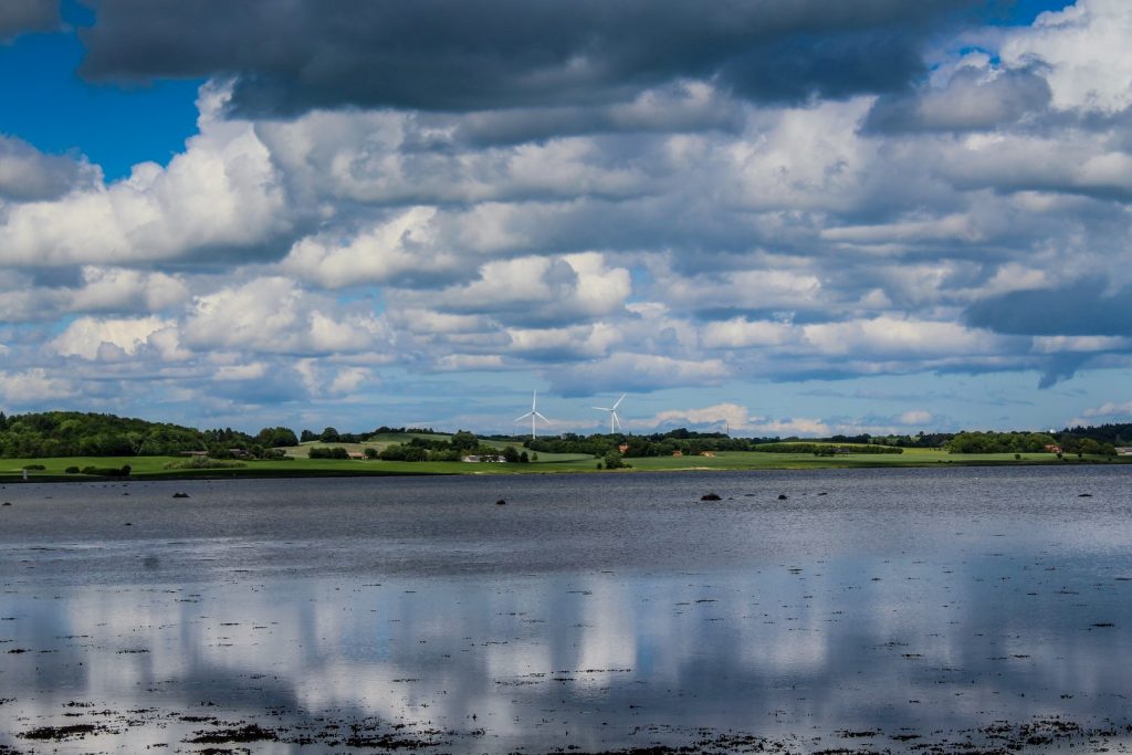
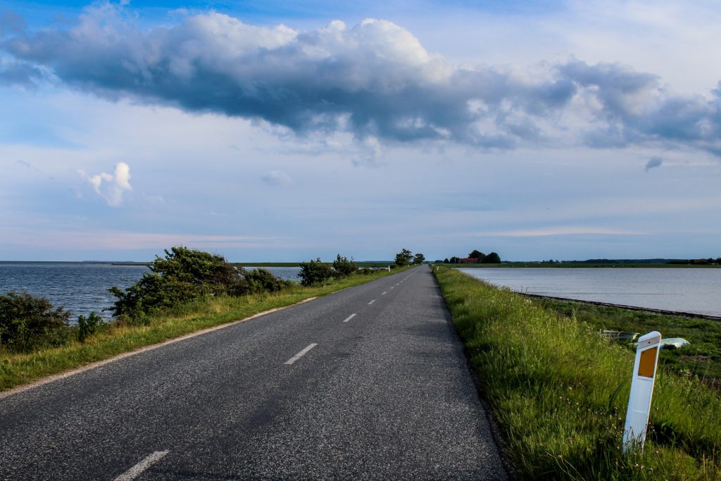
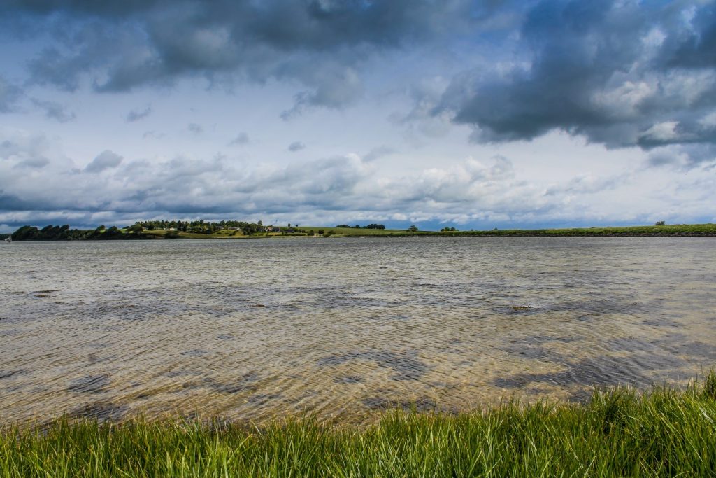
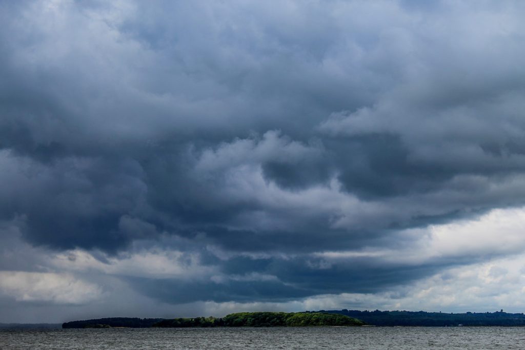
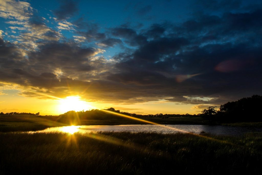
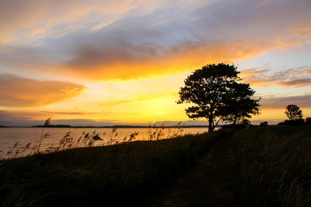
I set off to Horsens shortly before midday and arrived at Horsens Marina, the starting point of the journey, at 1.15 pm. I was thankful to see a blue sky with no threatening clouds in the distance. The weather report for the weekend promised lots of rain, but I was hopeful that it would stay dry.
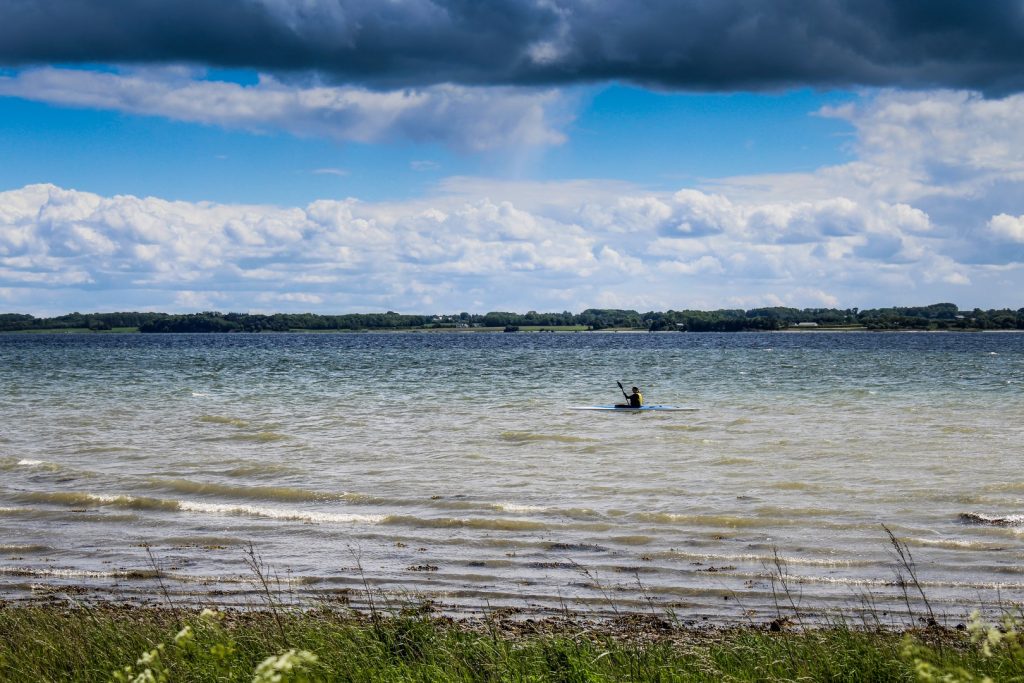
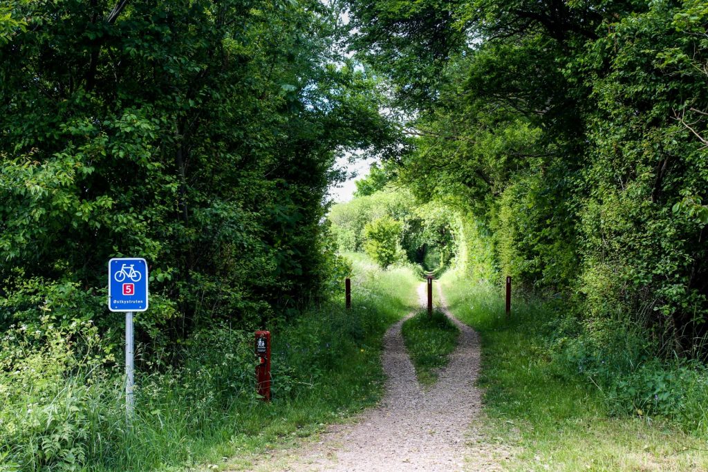
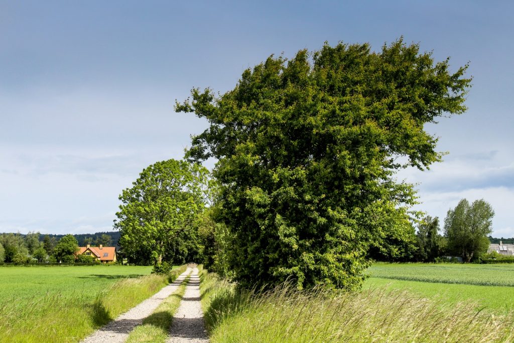
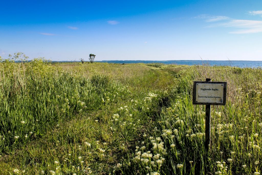
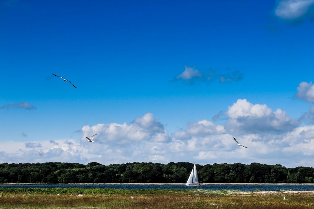
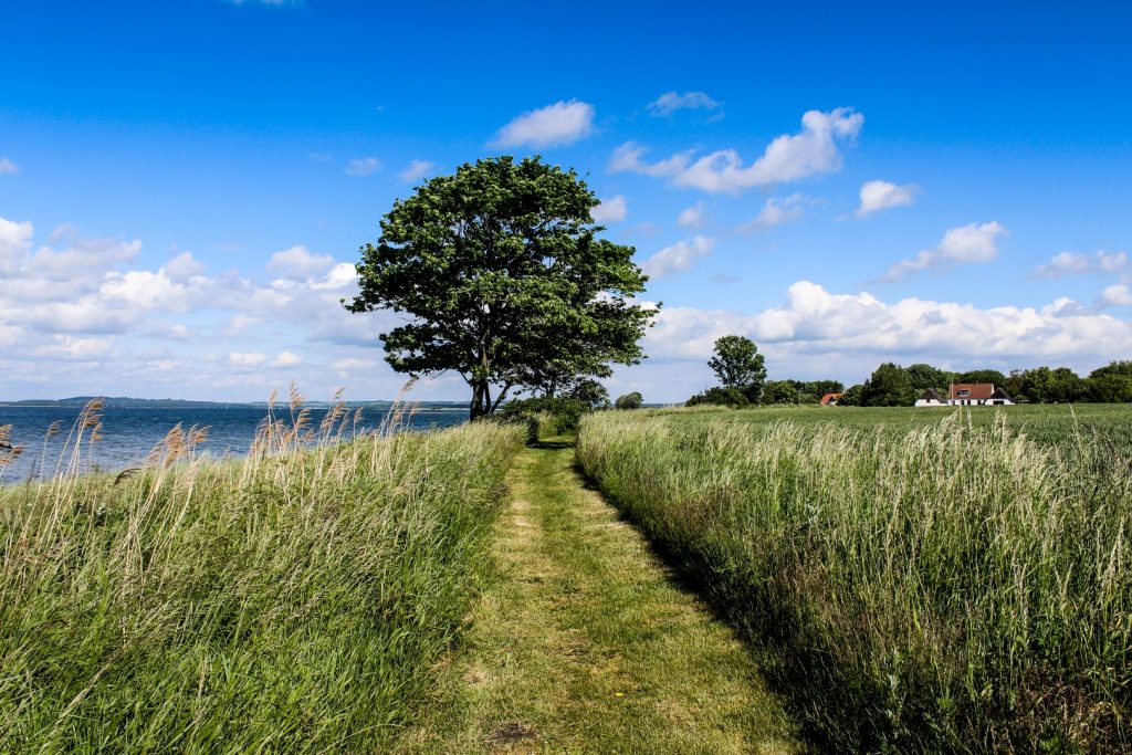
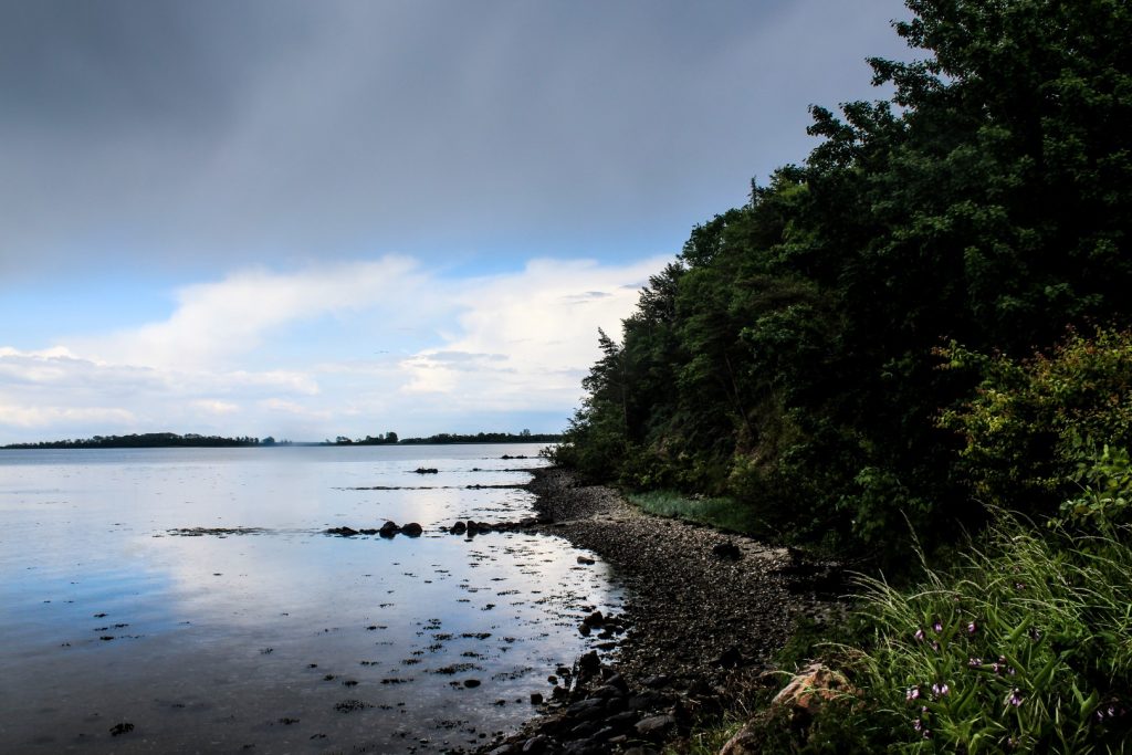
The first long stretch of the route is along Husoddestien, a gravel path that follows the northern shore of Horsens Fjord for thirteen kilometres, all the way from Horsens to Søvind. After buying some snacks for the journey in a local supermarket, I biked over a small bridge and onto the gravel path. There were lots of people out; bikers, runners and hikers, all enjoying the unexpected beautiful weather. I soon arrived at my first planned stop, Husodde Beach, which is known as one of the best beaches in Horsens and a hotspot for water sports activities.
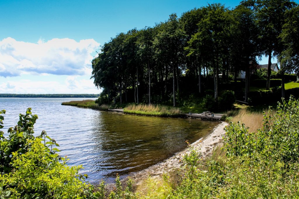
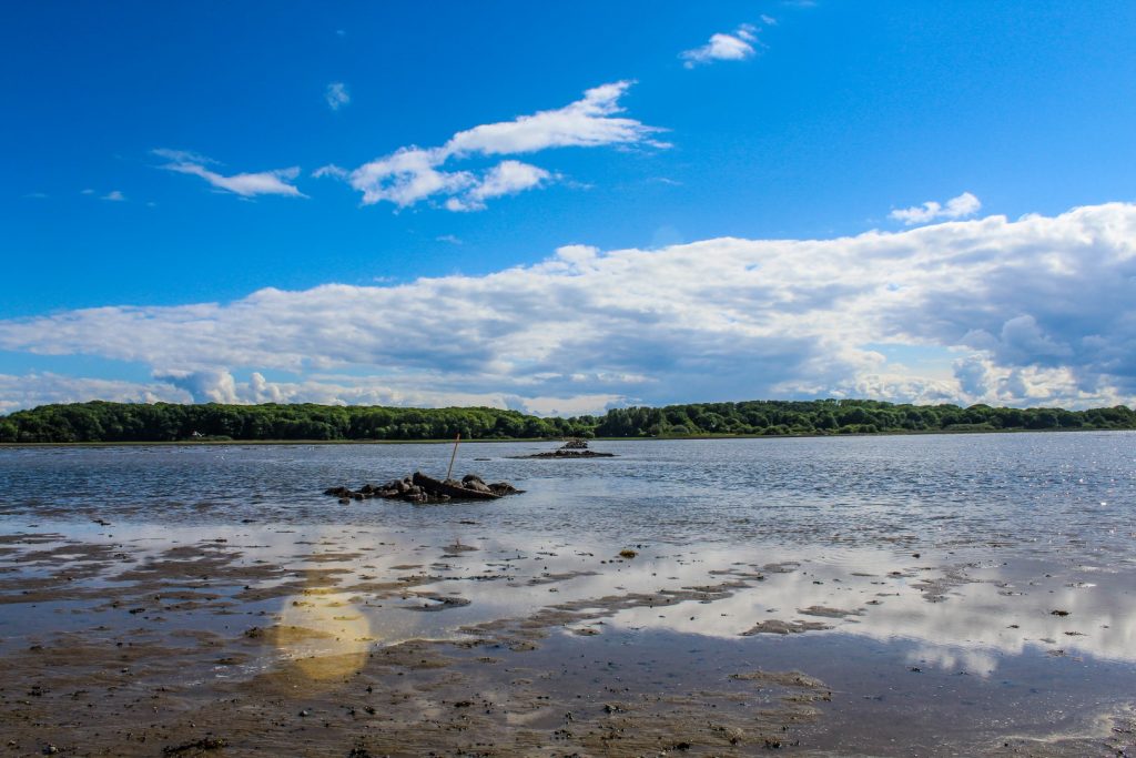
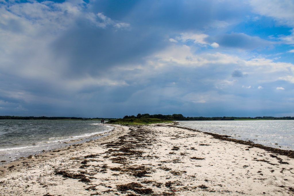
Troensø, the new island/peninsula
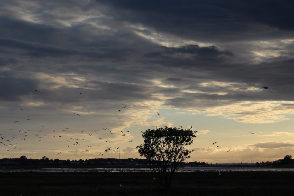
I continued along the gravel path into the small Brakør Forest, where I was on the lookout for a path down to the ocean to see the newly-formed island of Troensø. The 1100 square meter island was discovered in 2011 and got its name after the journalist Jens Troense planted the Danish flag on the island and slept there for two nights. However, the island is no longer an island as it has recently evolved into a peninsula.
Despite this, it’s still an incredible piece of nature and well worth a visit to see the fjord views and study the many birds that rely on the peninsula as a breeding ground.
The quaint villages of Haldrup and Søvind
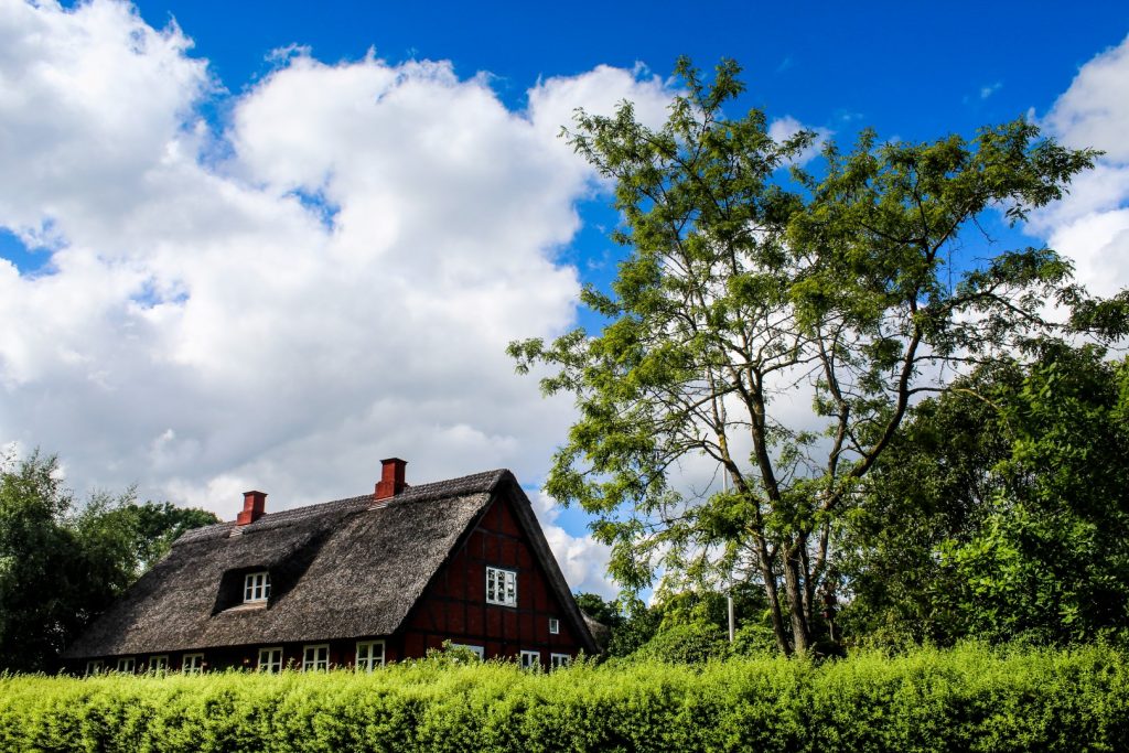
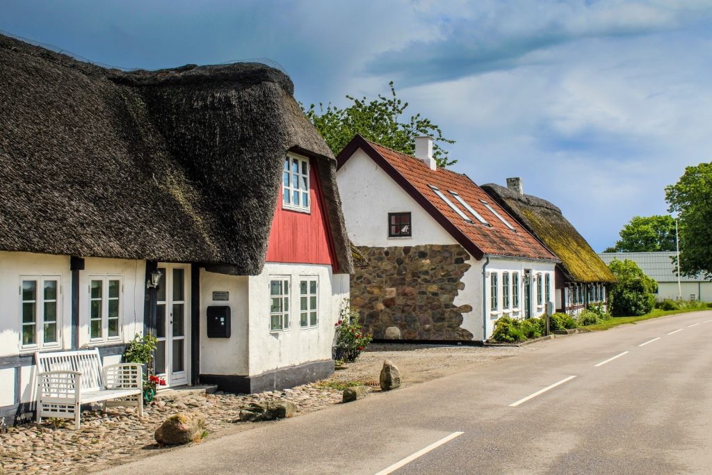
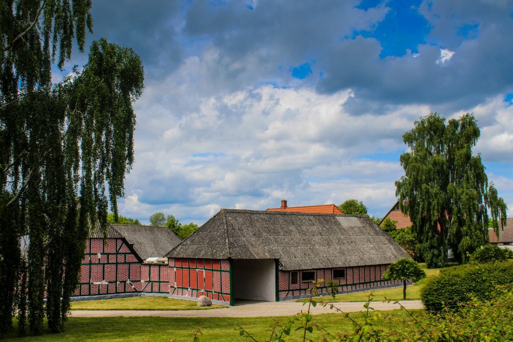
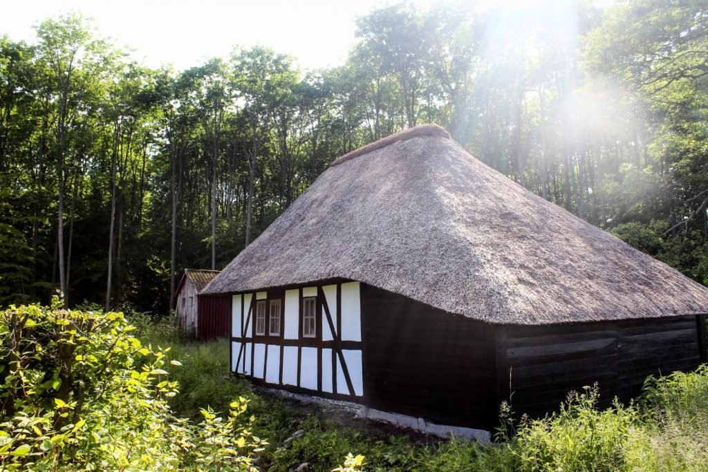
Husoddestien continued into the large Stensballe Forest to the tiny village of Haldrup, which is a great place to see traditional half-timbered cottages.
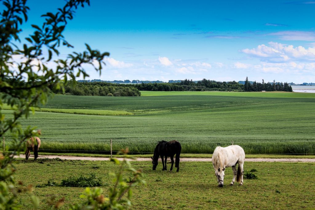
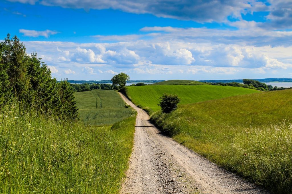
The last stretch of the gravel path took me through hilly landscapes with colourful wild flowers and grazing horses to the village of Søvind, which is home to a picturesque mill.
View of the nature reserve of Vorsø
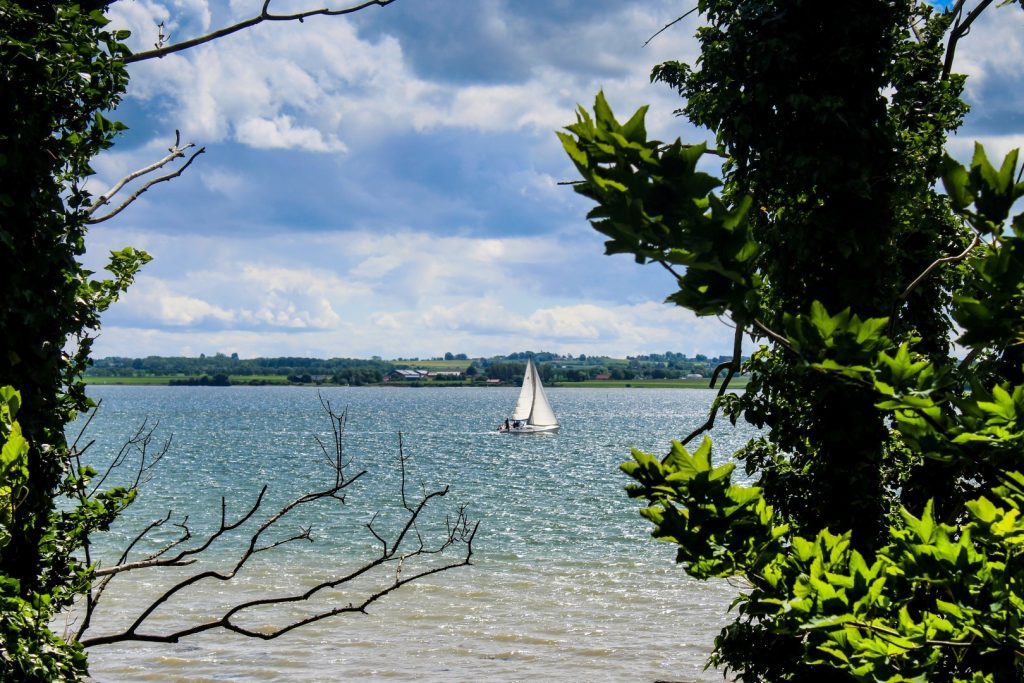
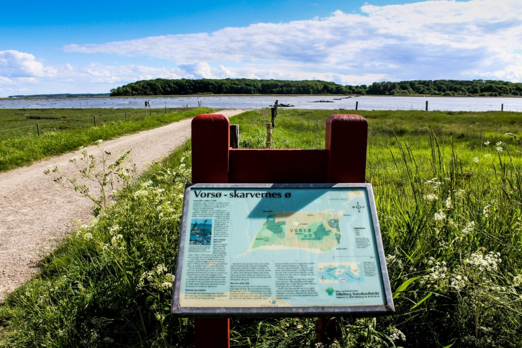
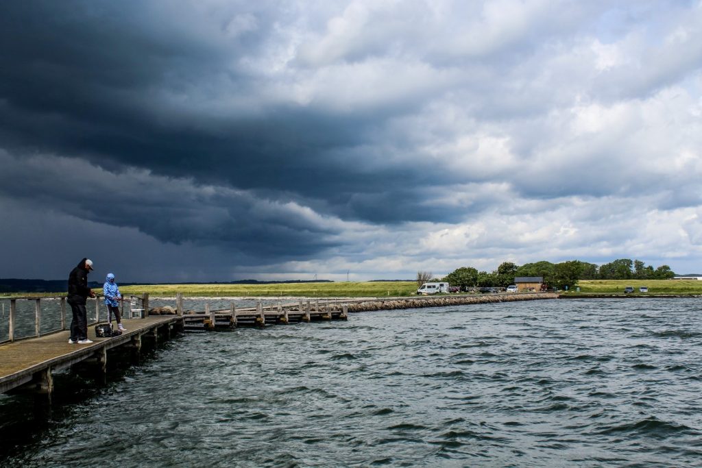
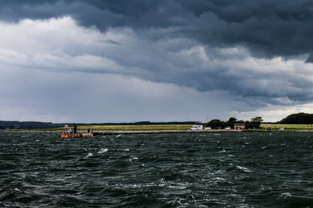
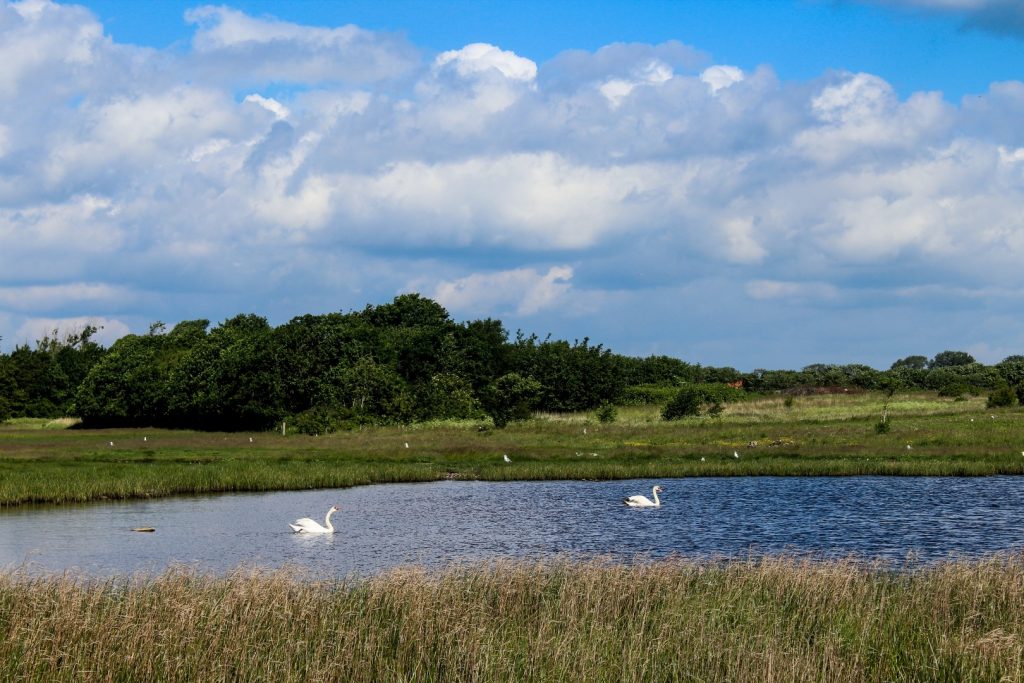
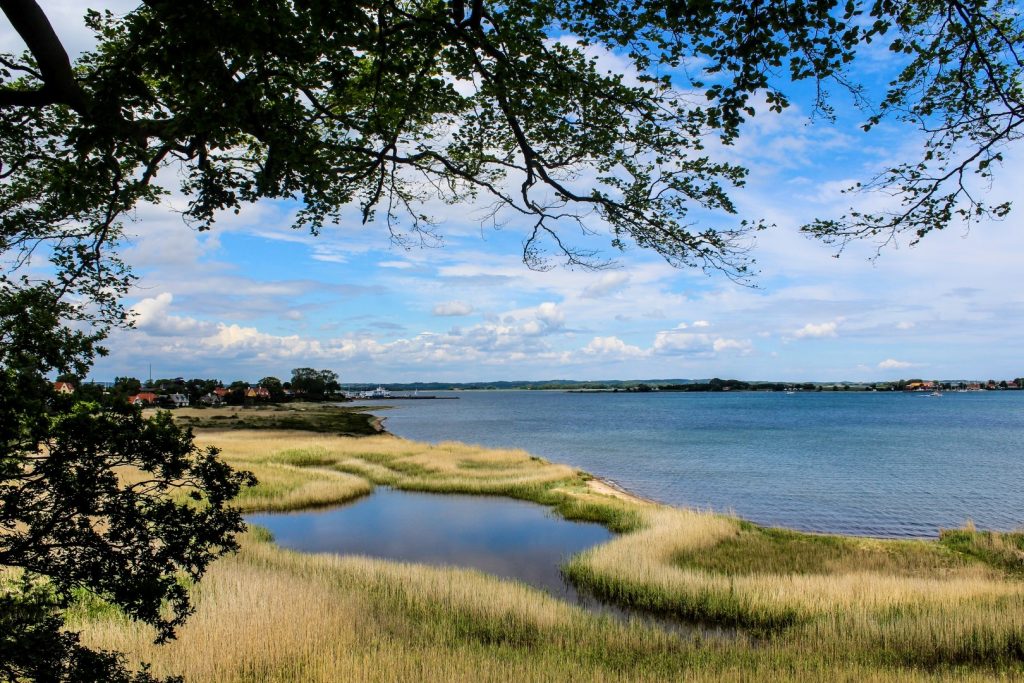
Søvind was also the place where I took my first long detour from the route. I biked down to the beach near the village of Brigsted to see the island of Vorsø up close.
Vorsø is a 62-hectare nature reserve with restricted access, where nature is left to its own devices. The lack of human interference has resulted in a large cormorant colony as well as rare plants. The island was purchased by zoologist Herluf Winge in 1919 as he wanted to create a sanctuary for flora and fauna. Today, the island is owned by the Danish Ministry of Environment and inhabited only by the ranger Jens Gregersen and his family.
Vorsø is accessible via an old wading path, but there is only public access through guided tours a few times per year in order to protect the unique flora and fauna of the island. Seeing Vorsø up close has only made me more eager to go there. I’m keeping an eye out for any upcoming tours this summer, which I might combine with a night at the primitive campsite on Brigsted Beach!
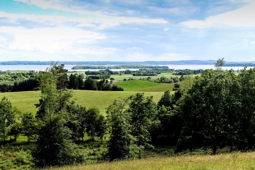
The Lookout Hills near Trustrup
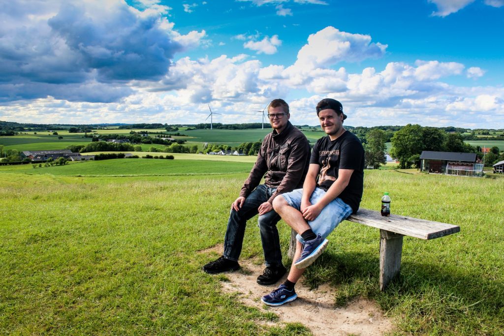
I could’ve stared out at Vorsø forever, but eventually, I had to pull myself away as I had planned to meet up with my younger brother Brandon and his friend Oscar at my next stop, Udsigtshøjene (‘the Lookout Hills’) near Trustrup.
Getting there was tough! The landscape became gradually hillier and I found myself struggling to make it up the hills on my bike. Who would’ve thought that for flat Denmark! But eventually, I made it, and just in time as the boys drove into the small parking lot as I arrived, huffing and puffing and completely red in my face.
The lookout hills gave me a welcome break from biking as we decided to hike the short 1 km route over the hills that rise 70 meters above sea level. It’s a beautiful walk that I’ve done a few times before, but it never gets old. I know this part of East Jutland well, and these lookout hills offer the best viewpoints in the entire area!
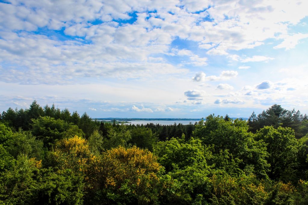
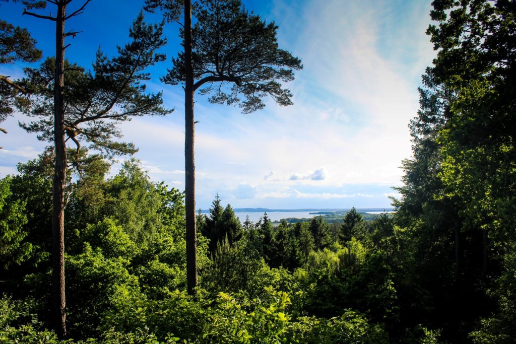
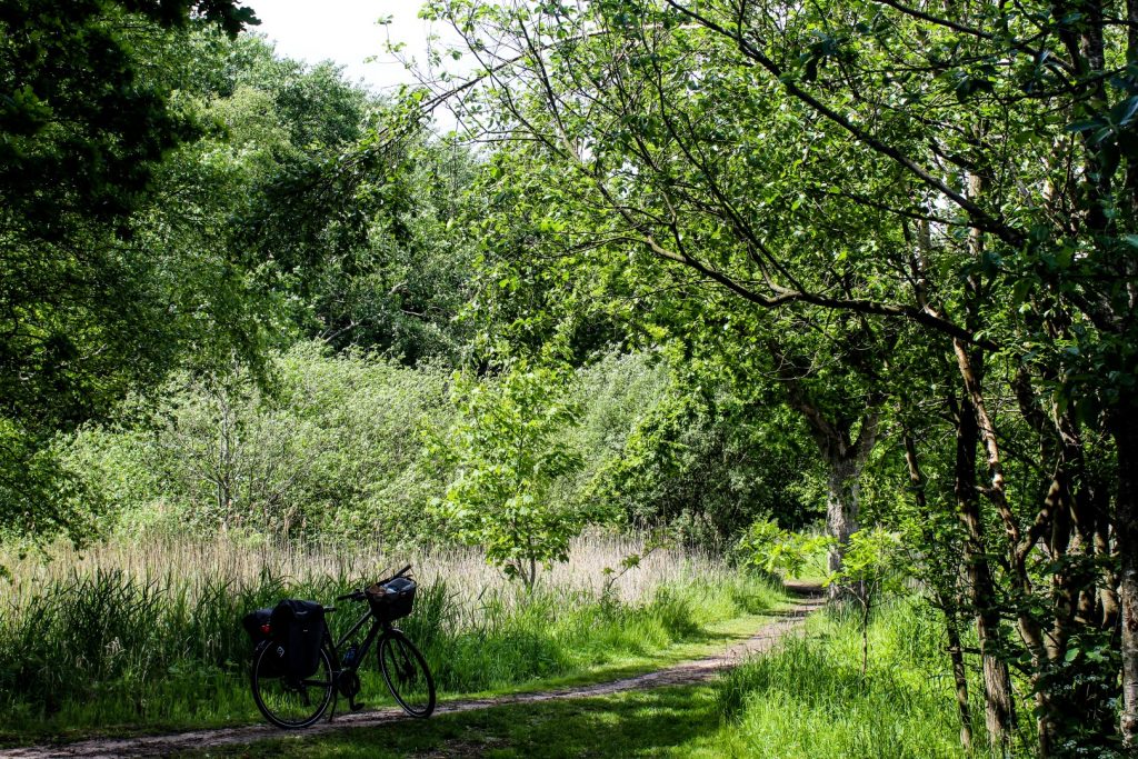
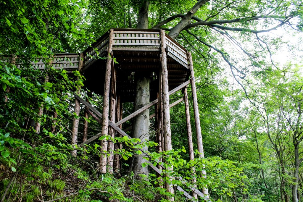
Forest walks in Sondrup Bakker
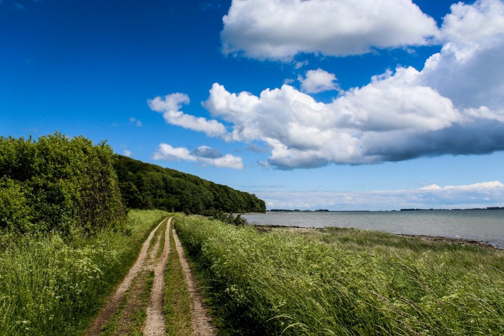
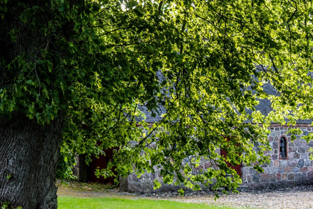
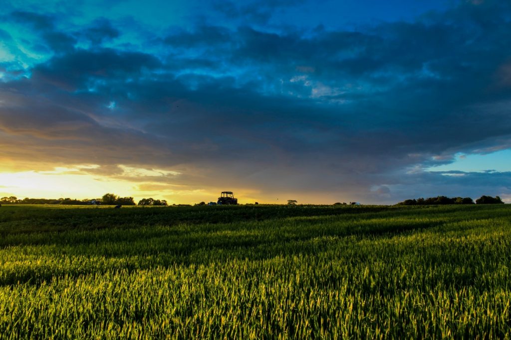
After our short hike, I said goodbye to the boys and continued by myself to Sondrup, a hilly area with vast woodlands that I’ve loved ever since I was a child and went on school trips there.
I made the mistake of biking into the forest instead of leaving the bike by the road so I could hike up the hills. Instead, I ended up pushing my bike along the steep forest trails to the top of several hills to find the best viewpoints. After much struggle, I found the best one at Blakshøj, a 73 meter high hill with a Bronze Age burial mound on top, which offers astonishing views over the forest and Horsens Fjord.
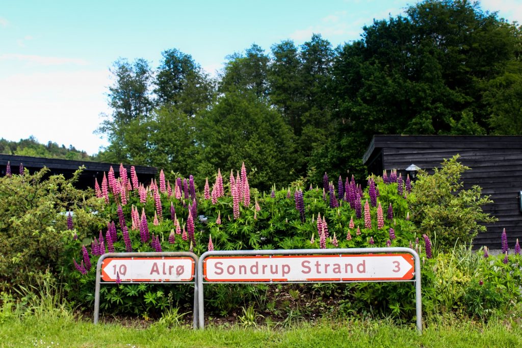
Over the dam to Alrø
Evening had arrived and I still had several kilometres to travel before arriving at my end destination for the day on the island of Alrø, which is home to just 150 souls.
From Sondrup, I continued along hilly roads to the gorgeous village of Amstrup. Just beyond the village is the dam that connects Alrø with the mainland, but I didn’t cross over straight away as I wanted to enjoy the beginning of golden hour from the beach near Amstrup with a beautiful view over the flat island.
A cozy night at Galleri Mynster
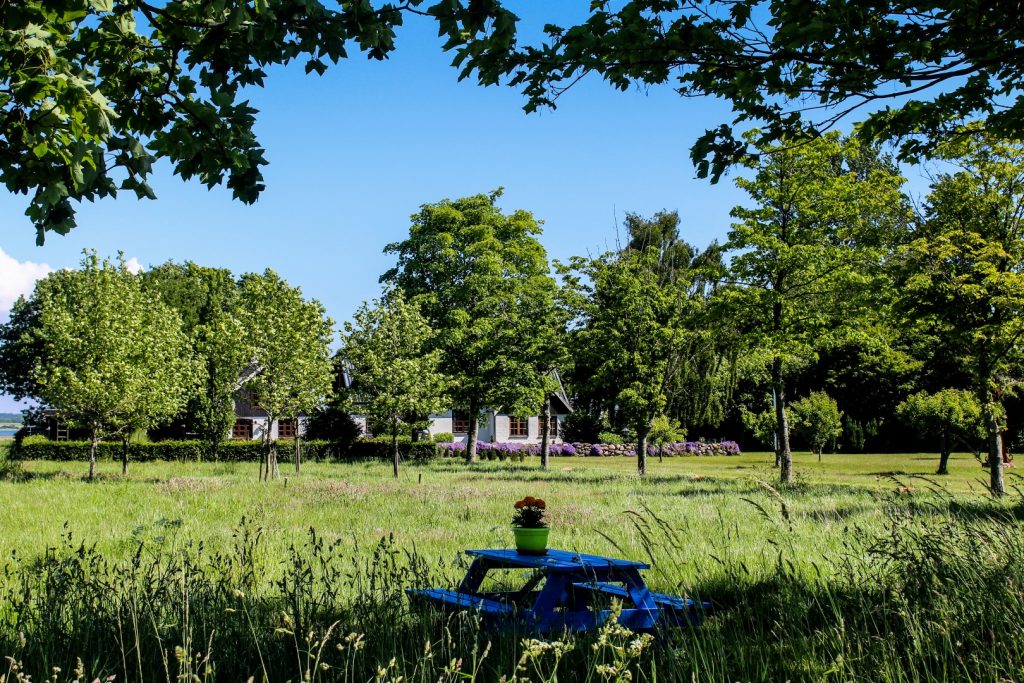
Eventually, I made it over the dam after many photo stops and found my way into the middle of the island, where the majority of the farms and houses are located.
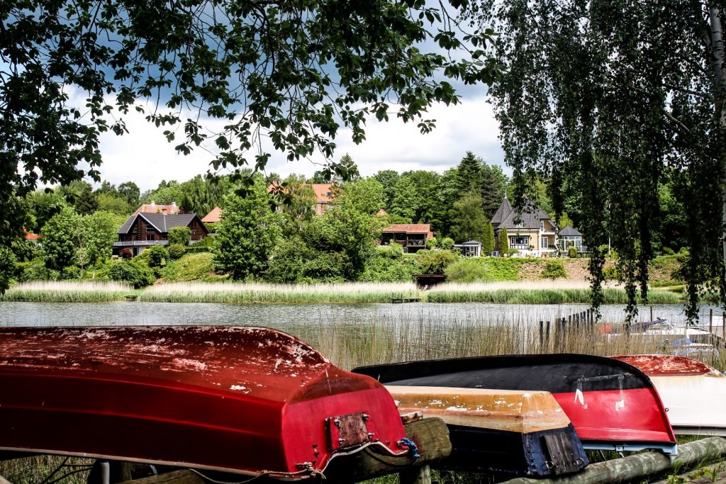
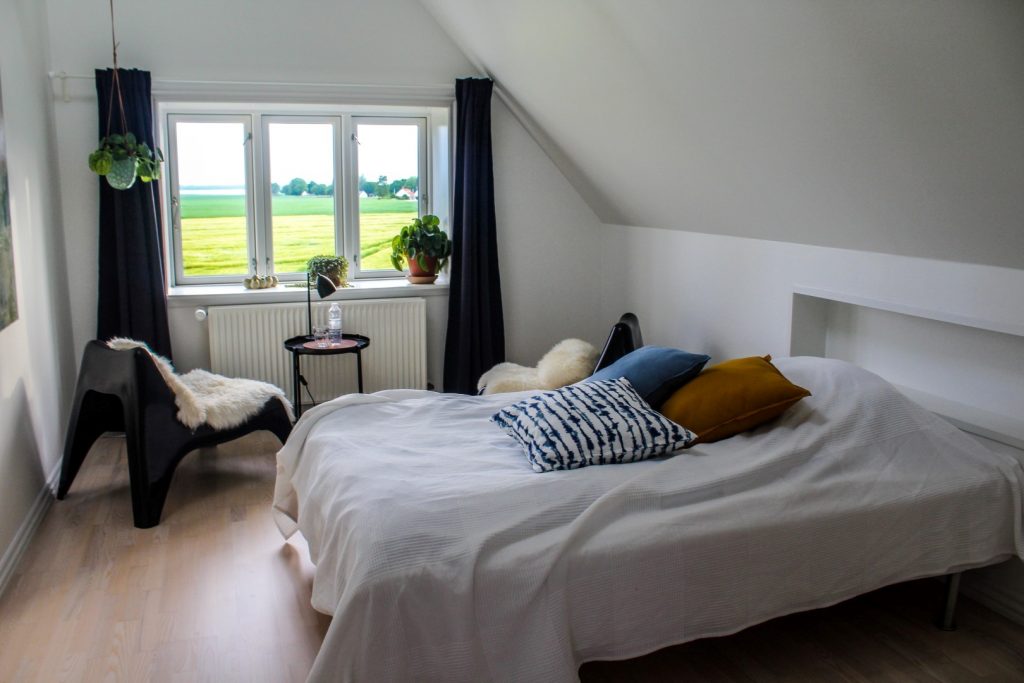
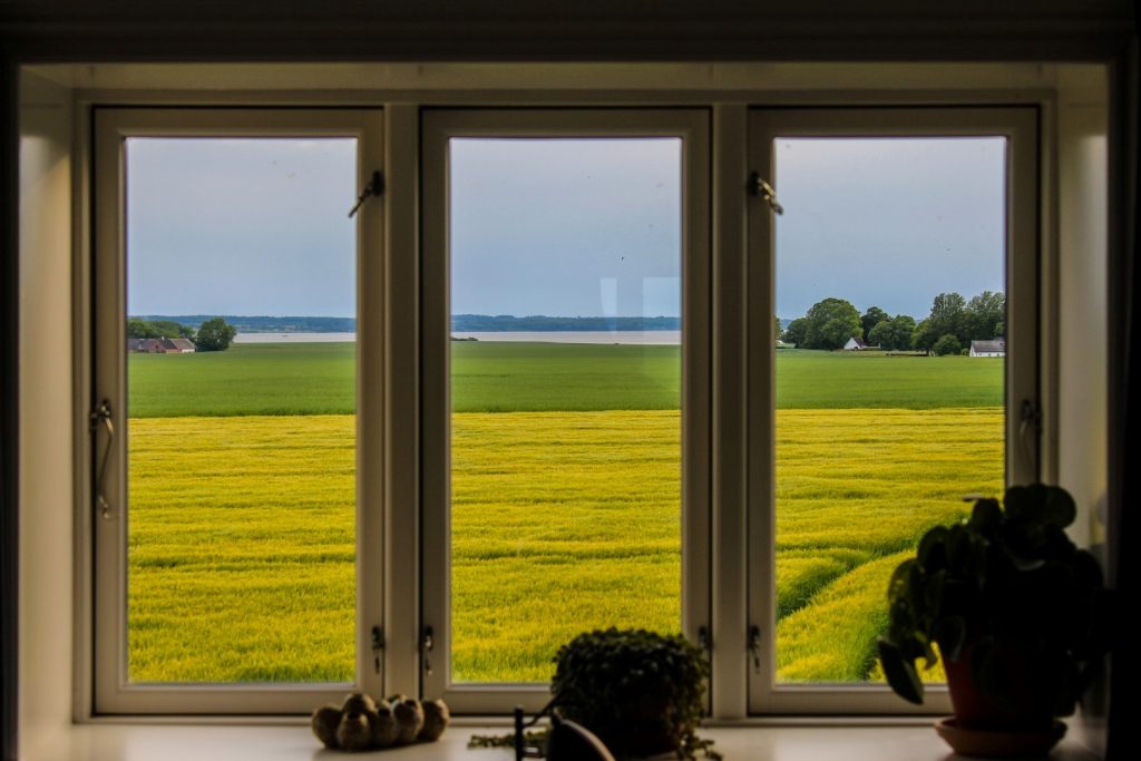
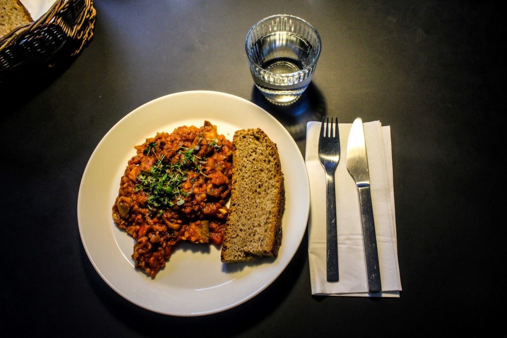
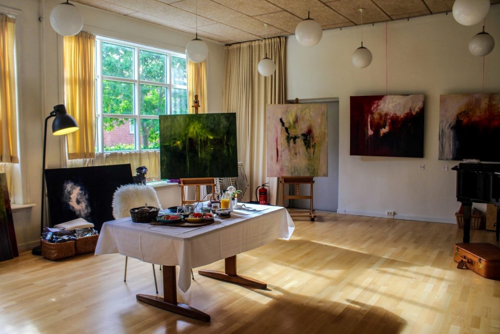
I was staying overnight in the cozy B&B at Galleri Mynster, located in the old school in the middle of the tiny village. The school was built in 1911 and served as a school for Alrø’s children until 1979 when it was turned into a privately owned home. I was welcomed by Tine, the owner of the gallery, and her husband Rasmus who had cooked me a delicious vegan dinner. I had a good chat with Tine about island life and her incredibly inspiring creative work life before going to sleep in my comfy bed while looking out at the vast fields of Alrø through my window.
A morning bike ride through Alrø
The next morning, I woke up to a big breakfast buffet that Tine served in her beautiful gallery. Sun rays penetrated the windows and created a beautiful morning light as I tucked into my meal. I’d gotten up quite early as I wanted to explore as much as possible of Alrø before catching a ferry to Hjarnø at 1 pm.
Alrø is an island that I know well as I often went there as a child with my family and school, and I still frequently visit the island to look for flint tools on the islands’ south coast. But this was the first time that I was there to explore.
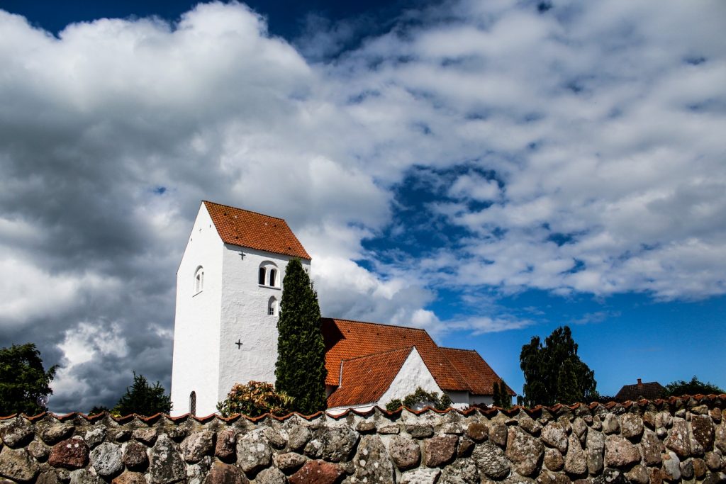
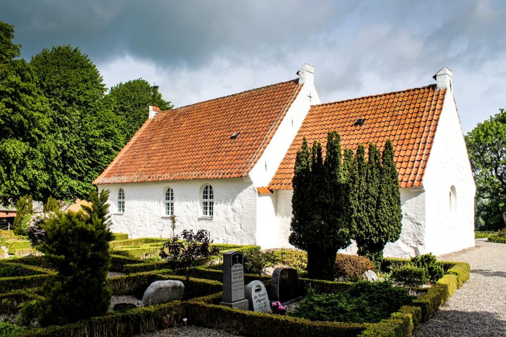
I started my tour of the island by biking to the 15th century church, located on the highest point on the island at 15 meters above sea level. Unfortunately, the church was closed, but I had a nice wander around the grounds, enjoying the views over the flat island.
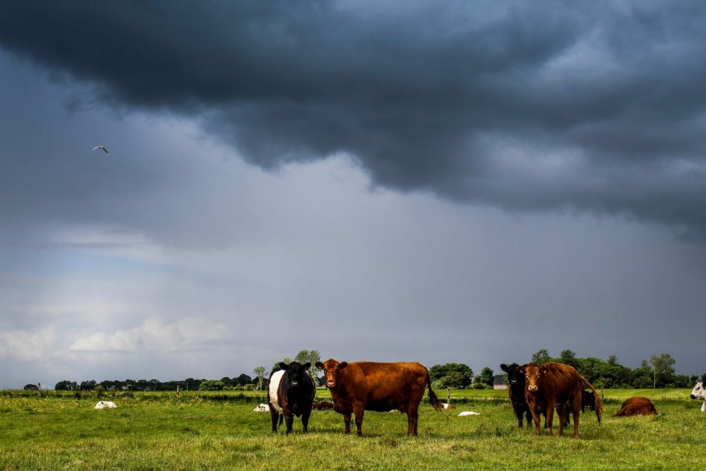
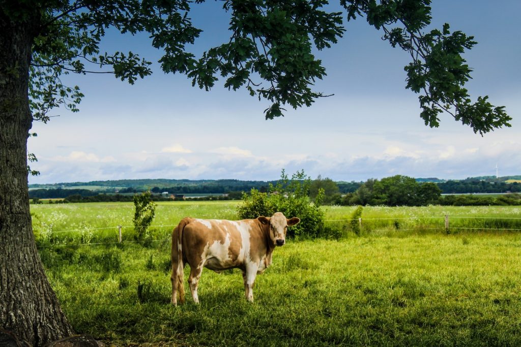
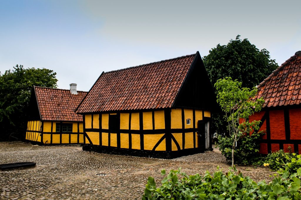
Alrø is an idyllic island, full of old half-timbered cottages and fieldstone farms. The soil is fertile and the majority of the island consists of fields and grazing areas for cows and horses. Tine had told me where to find the cows that roam along the northern coast, so I biked to the dam and walked along the shore until I got to them. Unfortunately, it started raining shortly after, so I had to hurry back after just a few shots.
The rain didn’t last long, so I continued on my journey, back into the village and down a long road to the old harbour that used to house the ferry that connected Alrø with Sondrup on the mainland before the dam was built in 1929-31. There’s a little footpath along the coast that I followed for a while before thunderous clouds forced me to turn around.
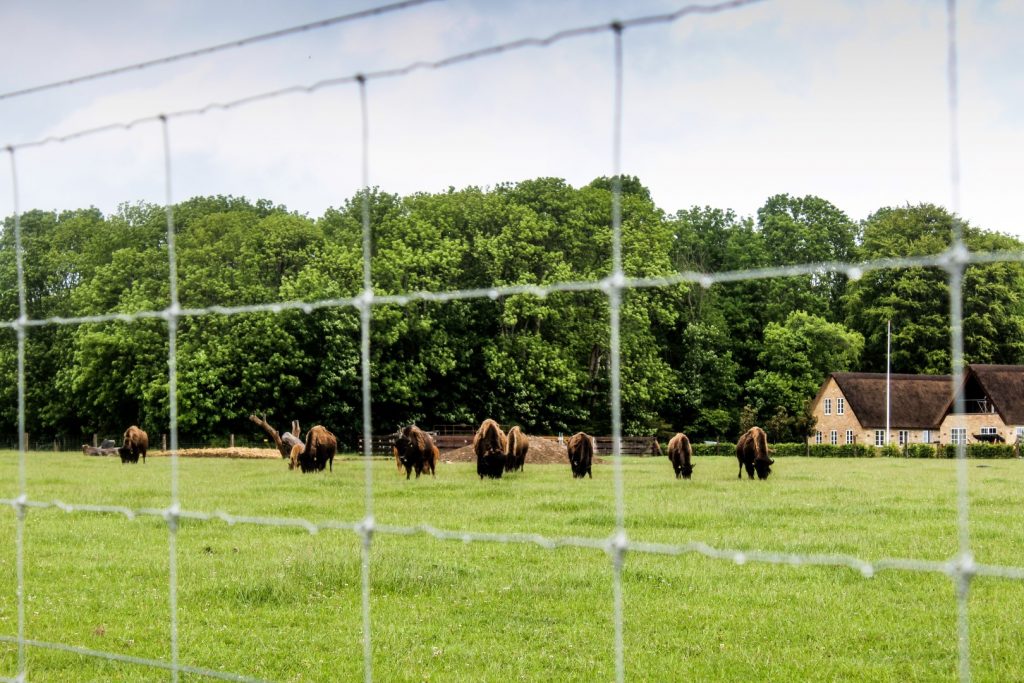
I wasn’t even back in the village yet before the clouds opened and spat out heavy rain, but I kept going as I still had more places I wanted to see on the island. Drenched, I continued to the tiny settlement of Sønderby with a few cottages and farms located in front of a small forest. In Sønderby, there was one thing I really wanted to see – a field full of bisons! I found them on a field by the ocean.
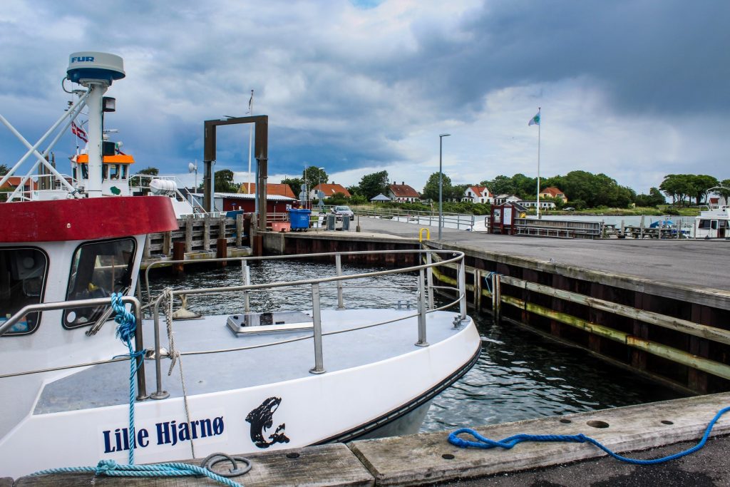
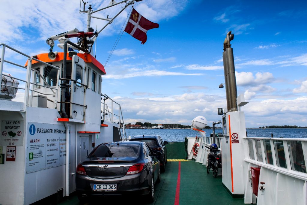
With the bicycle ferry to Hjarnø
The rain subsided as I made my way to Egehovedet on Alrø’s southern end where the ferry to Hjarnø would depart half an hour later. I sat on the wet bench to eat the lunch that Tine had packed for me, and soon after, I boarded the tiny bicycle ferry that took me on a short, bumpy ride to the next and last island on the journey.
I arrived on Hjarnø shortly past 1 pm and since I was staying overnight, I had plenty of time to explore the tiny island of just 3.21 square kilometres.
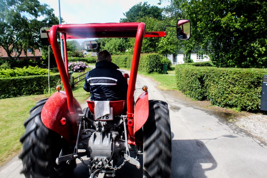
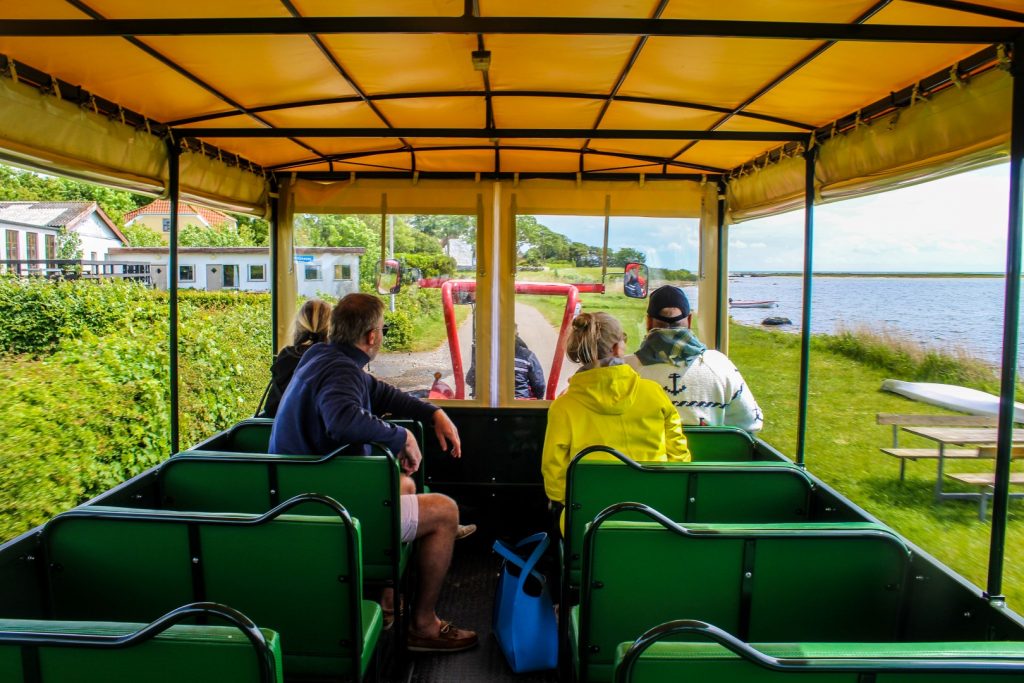
Exploring Hjarnø by tractor
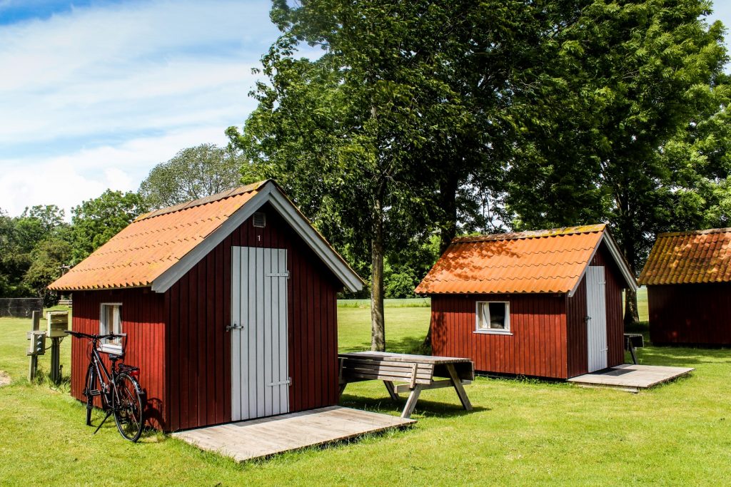
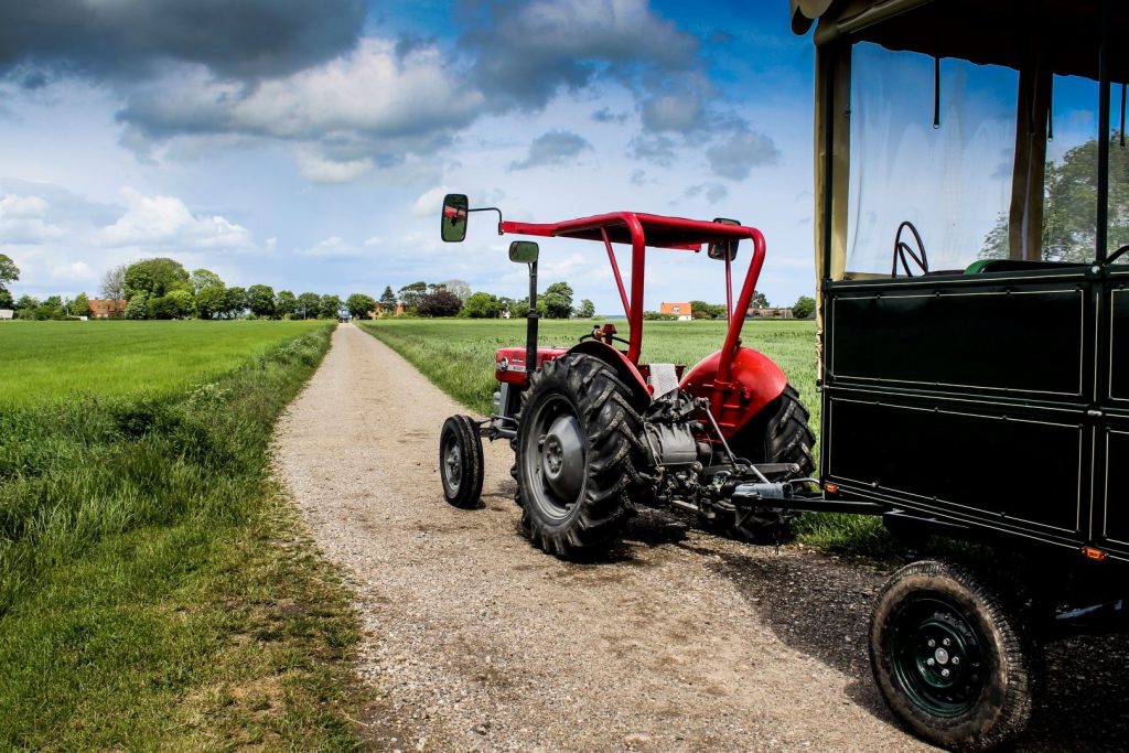
I biked to the campsite, where I was welcomed with open arms and given a cozy hut for the night instead of a tent spot. Carl, the owner of the campsite, asked if I would join a tractor trip around the island with two groups of tourists in order to take pictures for his website. It was the perfect deal for me as I got to see Hjarnø in a fun way and have a knowledgable local guide for a few hours.
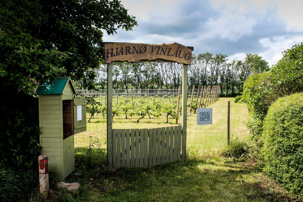
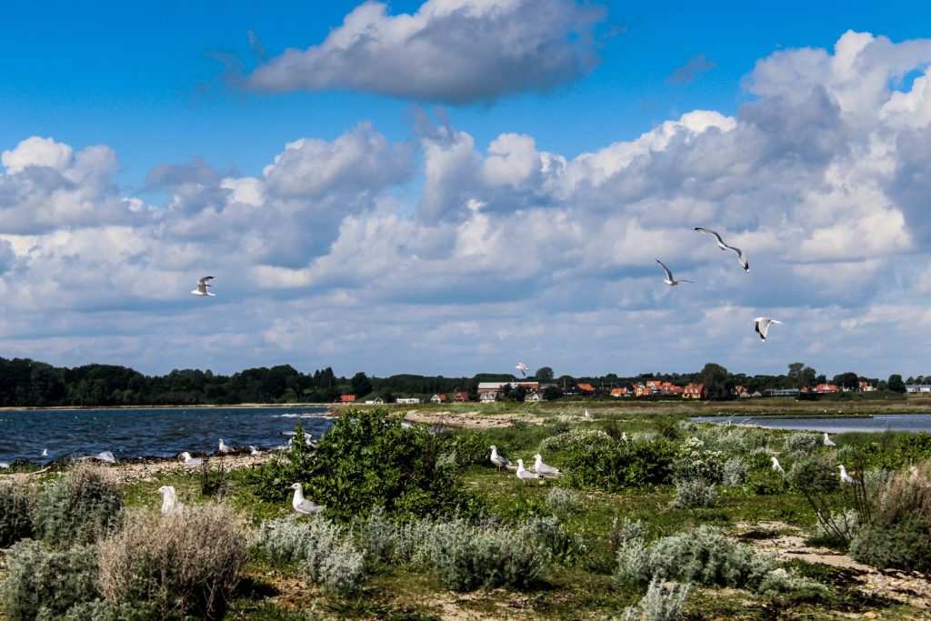
Carl took us to the outskirts of the island where we visited a vineyard with approximately 1200 vines, which is owned by 11 residents. We also stopped by a cozy farm shop and drove as far north as we could to see a seagull colony. It’s not permitted to walk on the northern coast of Hjarnø during breeding season, so we only viewed them from afar.
An unexpected turn of events
And then things took an unexpected turn. What I’d thought would be a peaceful evening with a walk around the southern coast and dinner at the café turned into a bit of a mission to rescue a baby crow.
When I got back to the campsite after the tractor trip, I still had three hours before my reservation at the café, which would’ve been plenty of time to hike the 5 km route through the town and along the southern coast. But I hadn’t even gotten out of town when I spotted the poor chick, which was in obvious bad shape. I caught the chick in my hands and went back towards the campsite to try to find someone to help me, but then it started pouring. An elderly man beckoned me into his shed for shelter and took a look at the chick. He said that there was no hope, but I couldn’t give up on it. I decided to call animal protection, and after explaining that the chick wasn’t moving one of its wings, they agreed to send a volunteer to the island.
Hjarnø Sund – a submarine Stone Age settlement
While waiting for the volunteer, Daniel, to arrive, I took the chick on a little adventure to a very famous Stone Age settlement, located a few hundred meters from the harbour.
The site is called Hjarnø Sund and is a submarine settlement from the Late Mesolithic Ertebølle Period (ca. 5500-4000 BC). The area around Horsens Fjord has been sinking since the end of the last Ice Age due to fracture in the earth’s plate, which has resulted in a depression of the coastlines, trapping artifacts and other remains from coastal settlements from the Stone Age in an anaerobic environment known as the gyttja. The layer of gyttja means that organic materials are preserved. Recent erosion along the coast has been exposing previously covered sites, a process that led to the discovery of the Hjarnø Sund site in 2008.
Following its discovery, the site was excavated by archaeologists from the University of Aarhus, Moesgaard Museum and Horsens Museum, unearthing unique artifacts such as decorated wooden paddles, a dugout canoe, an antler axe, an elmwood bow, hazelwood stakes, hazelnut shells, plant seeds and various flint tools.
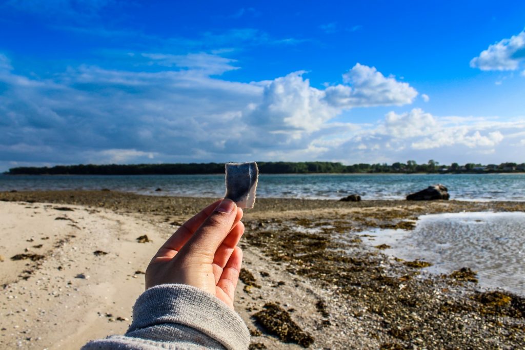
For a Stone Age nerd (with specific interest in the Ertebølle Culture) like me, it was incredible to see this site with my own eyes, even though the place merely looks like a stony beach to the average person. I actually visited this site three times to search for flint flakes and tools, and I ended up with a good handful!
Dinner at Den Gamle Smedje
As soon as I saw the ferry approaching, I biked to the harbour and met Daniel, who took a look at the chick. He found an abscess under one wing, but thought the chick might have a chance at survival. He promised to take it to a wildlife expert the next day.
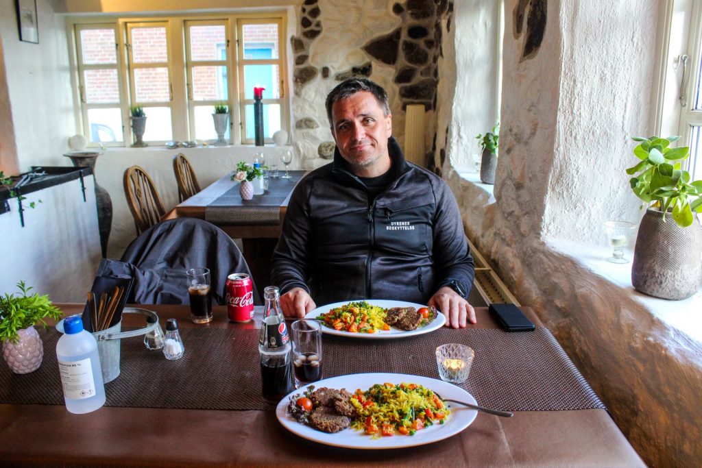
While he was already on the island and all the chick needed was peace to rest, I asked him to join me for dinner and a bit of sightseeing. Daniel is vegan like me, and luckily, the local café, Den Gamle Smedje, had enough for both of us! We enjoyed a wonderful meal in the cozy environment of the small café while chatting to the owner who told us her story of how she rescued a duck and brought it back to health. The world is full of beautiful people!
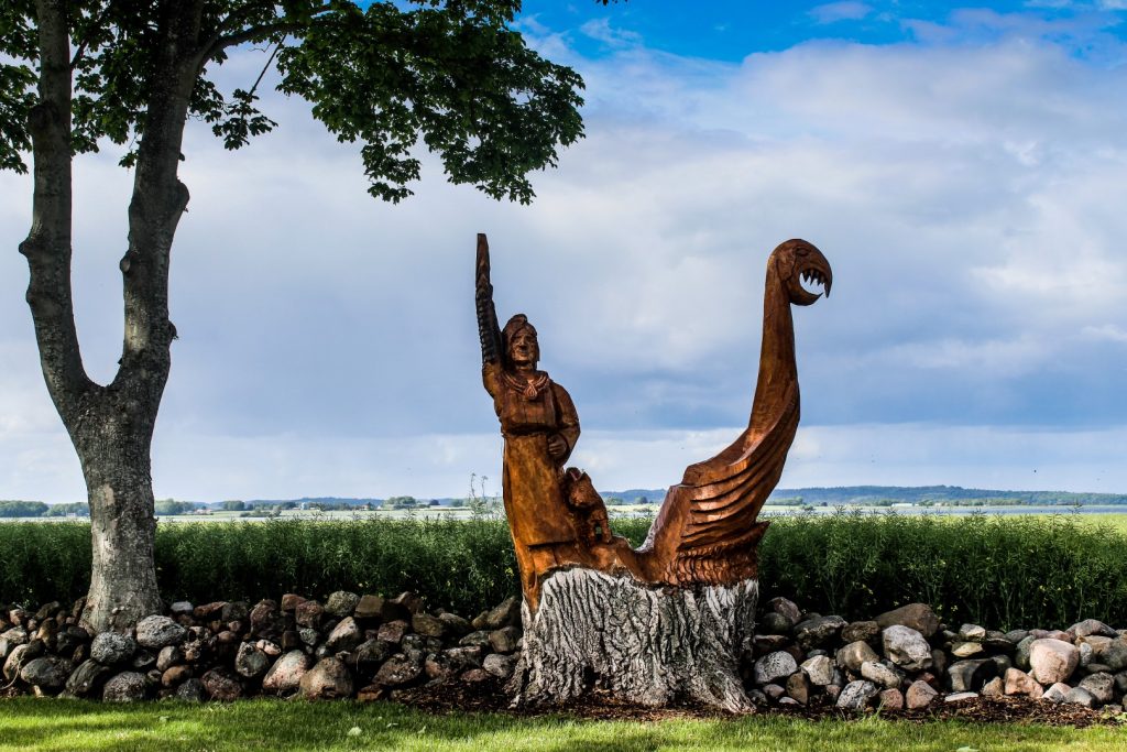
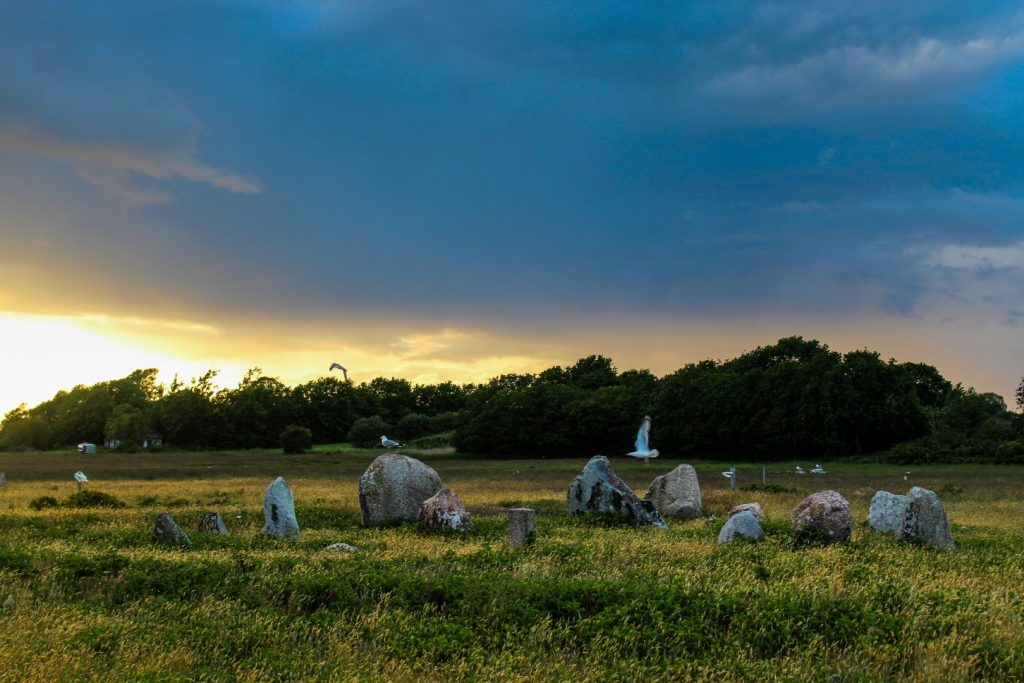
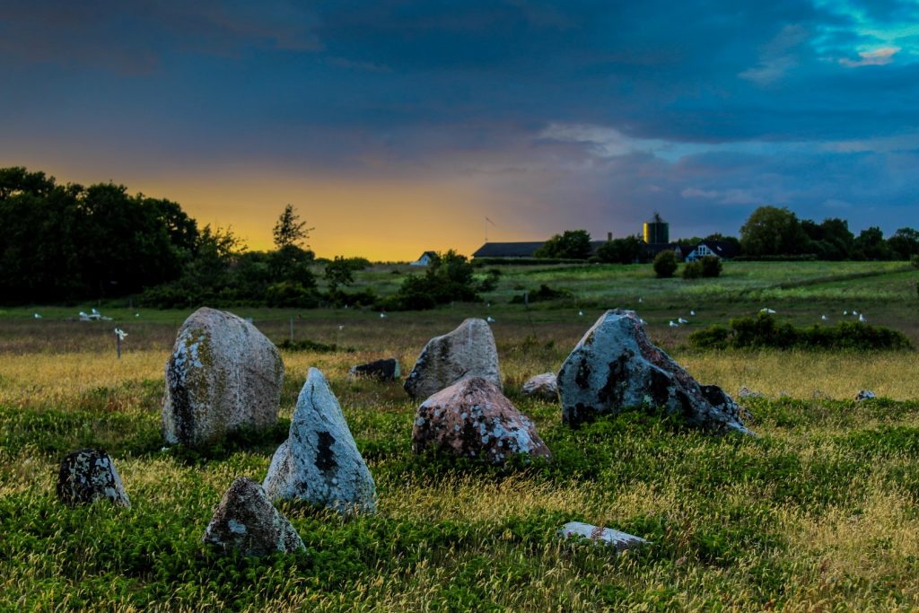
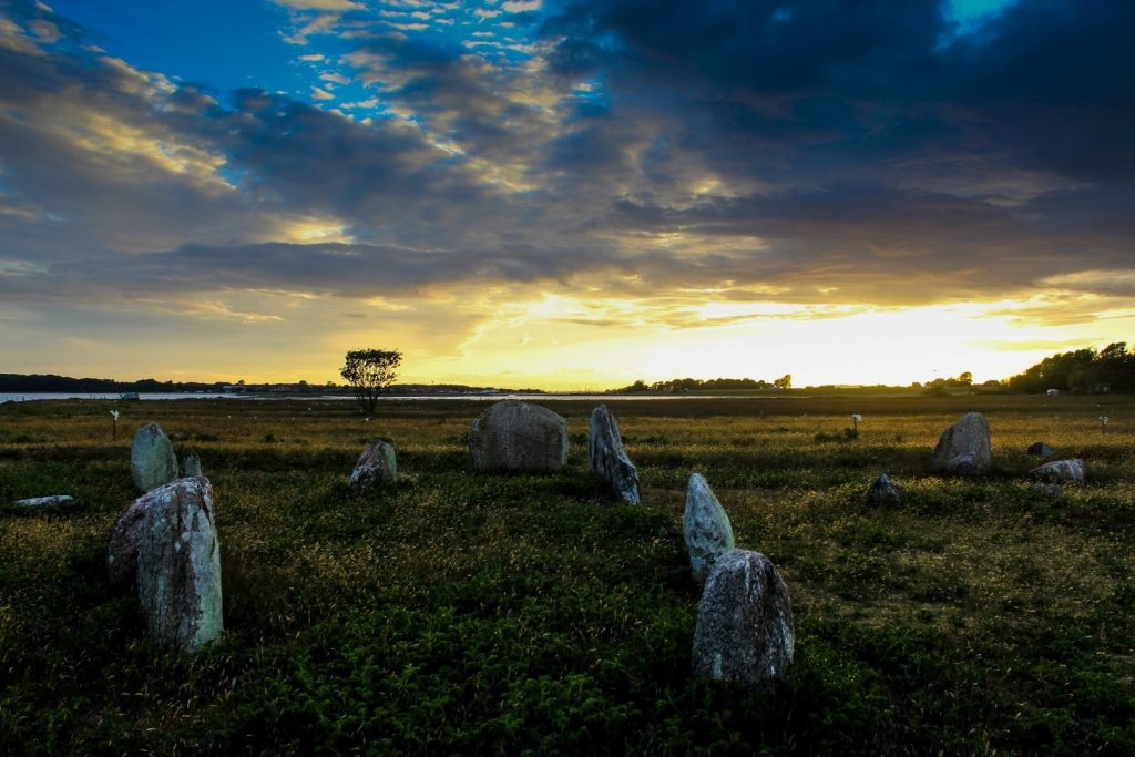
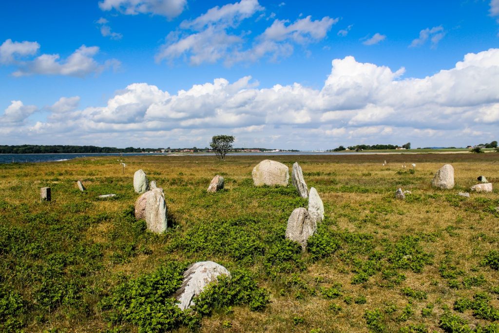
Kalvestenene – stone ships from the Viking Age
After dinner, we drove to the eastern end of the main road and walked along the southern coast to Hjarnø’s best known archaeological site, Kalvestenene.
The area consists of 10 stone ships thought to be cremation burials from the Germanic Iron Age and Viking Age (ca 400-1050 AD). Drawings from the 17th century indicates that there was once 34 stone ships, but the majority of the stones were removed in the following centuries for other purposes. Three of the stone ships have been excavated, revealing remains from cremated bodies and a few sherds.
The sun was setting when we arrived at the site, creating a magical and mystical scene. We walked back to the car as the sun fell below the horizon and drove back to the harbour where Daniel and the chick caught a ferry back to the mainland. Unfortunately, the chick died a few days later, but I’m still thankful that Daniel made such a huge effort to save the chick’s life.
An early morning walk around Hjarnø
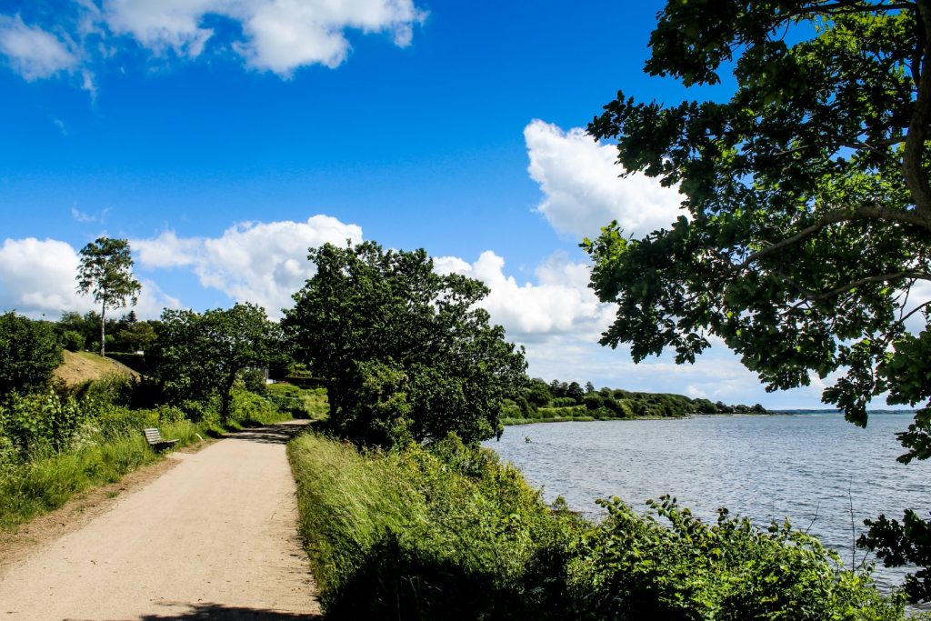
After a wonderful night in my cozy hut, I got up early to complete the walk around the southern coast of the island. The 5 km route doesn’t take long, about an hour, but I spent two hours doing it as I ate my breakfast by the ocean and took many photo breaks.
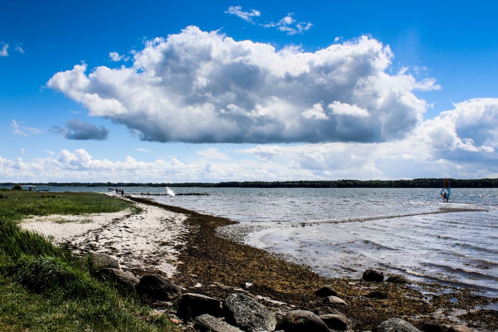
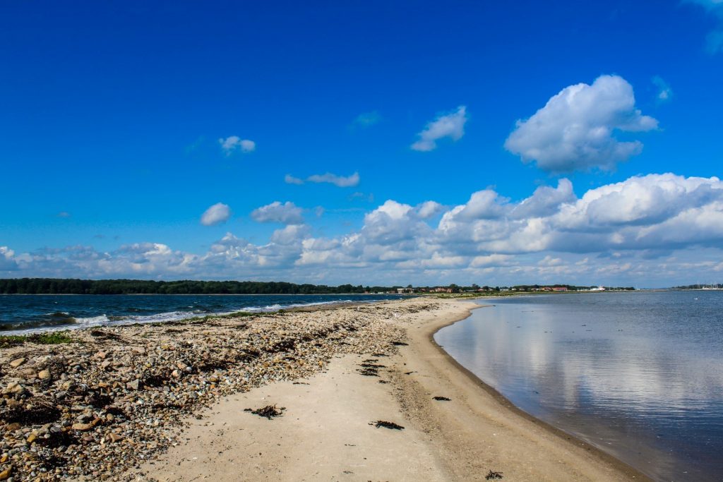
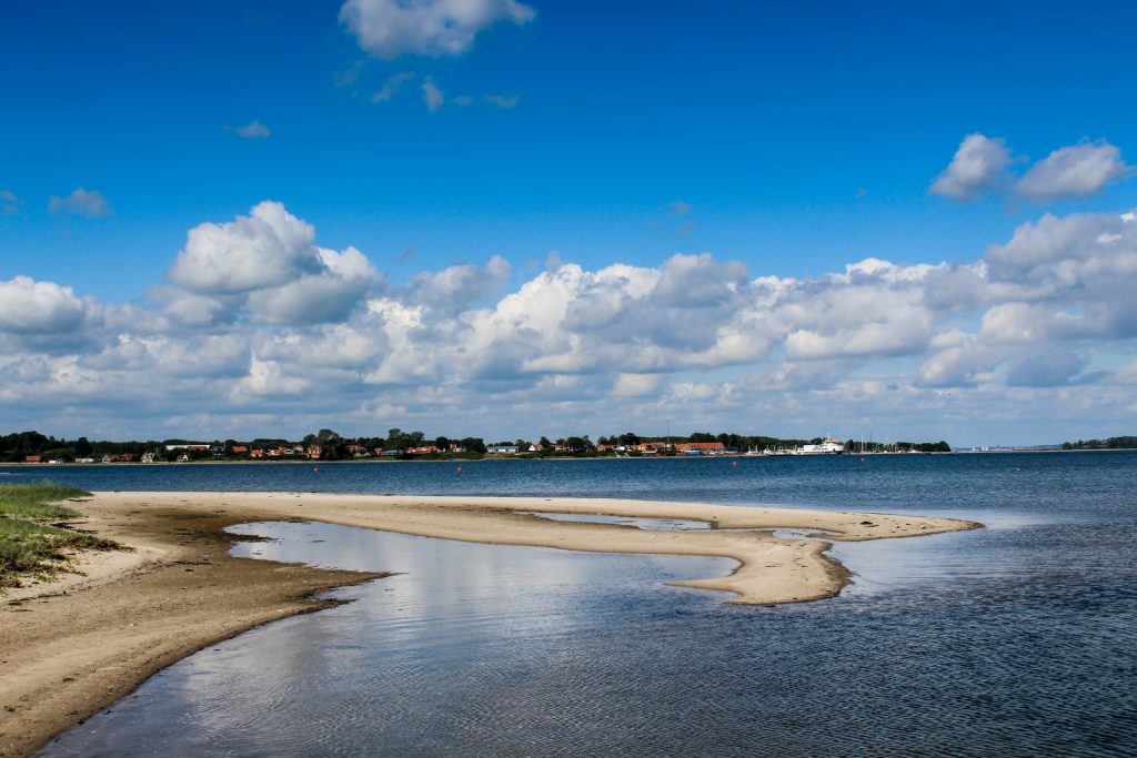
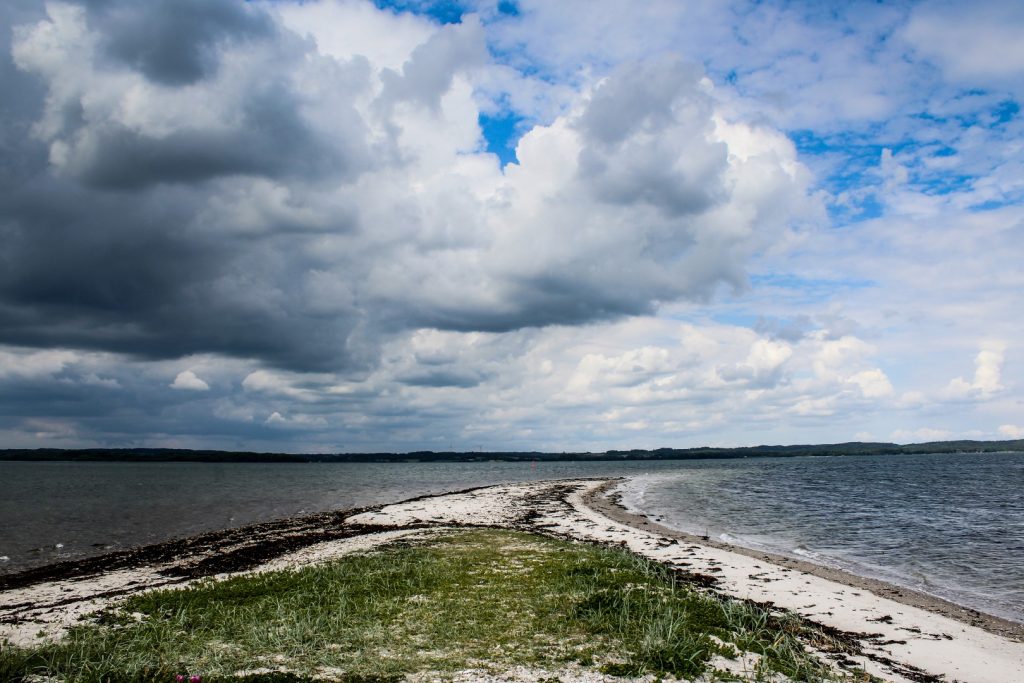
I saw many of the places I’d already seen the day before such as Kalvestenene and Hjarnø Sund, but I also saw a new area which is quite unique – Hjarnø Odde, a long stretch of beach which looks like an island, but is actually connected to Hjarnø in two places, although one of them is by a footbridge. The weather was beautiful, the best it’d been all weekend. If only I’d had more time to sit on the beach!
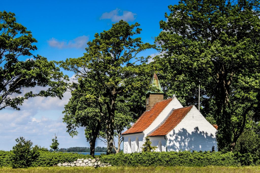
I left the beach behind and headed to the islands’ tiny church from the 16th century, which is actually the second smallest church in Denmark. Unlike most villages churches, this one is open daily for visitors, and it’s worth going inside to see the unique church ship which is a model of a Viking ship.
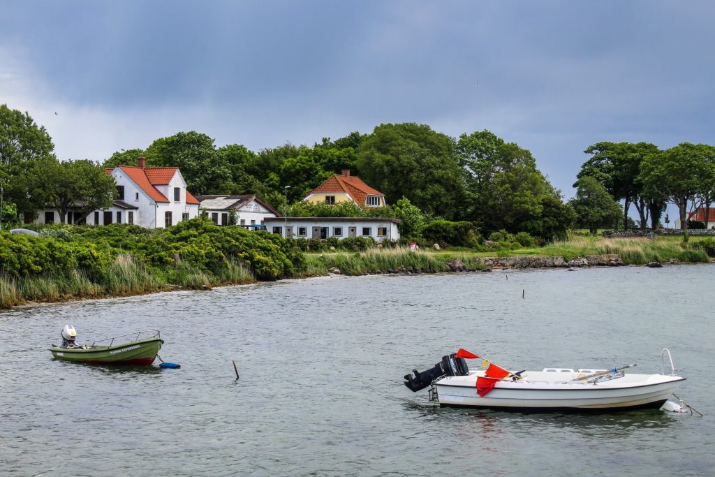
The route then took me to the harbour and back along the main road to the village which is full of beautiful fieldstone houses and farms. There’s also a small forest in the village which I took a stroll in before heading back to the campsite to collect my stuff and say goodbye to Carl and his wife Susanne.

Back to the mainland and straight to Tønballe Nature Center
I caught the ferry to Snaptun on the mainland at 12.30 pm, and it brought me there in just a few minutes. Hjarnø is only 800 meters from the mainland and the ferry runs 29 times per day, which is probably the reason why so many young families have moved there recently. 17 out of the islands’ 113 residents are children under 13 – something that is (unfortunately) unique for the small Danish islands.
Once I got to the mainland, I headed away from the route straight away to explore a bit of the picturesque Tønballe Nature Center, which is located in the outskirts of Snaptun. I remember going there as a child with my younger brother and dad, but all I could recall was that I thought it was a beautiful place, so I wanted to revisit it.
I biked around the forest for a while before reaching a lookout tower that I’d spotted on the map. I was below it when I got there so I climbed up a steep and slippery hill to get up to the tower, only to realize that there was a staircase just a few meters to the right. Silly me! Once I got up there and saw the view, I remembered it. The view was imprinted in my mind and the memories of the trip came rushing back. It’s truly a beautiful – yet often overlooked – place!
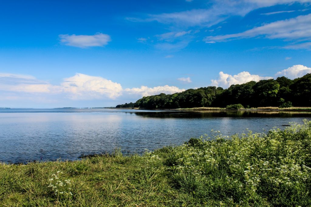
Borre Knob, an overlooked nature area
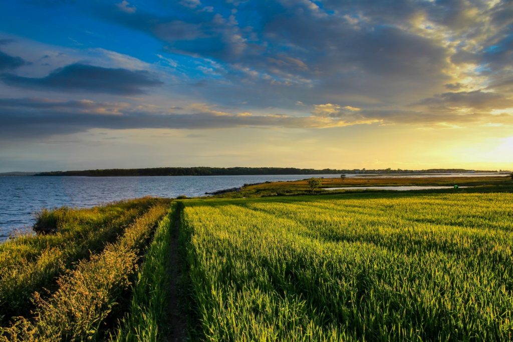
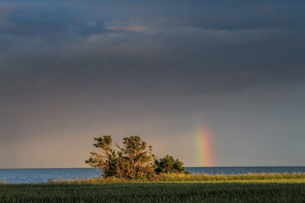
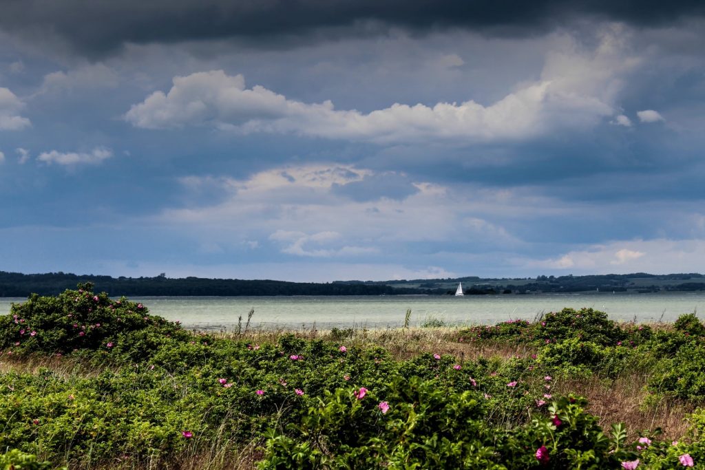
From one overlooked area to another, I biked along the route to the village of Glud and then took yet another detour, this time to Borre Knob, a peninsula that stretches 2 km out into Horsens Fjord and almost touches Alrø.
I was able to bike almost to the edge of the peninsula, but I had to push the bike for the last 200-300 meters as the ground got too sandy to bike on. The sun was still out so I decided to eat my lunch on a bench while gazing out at the islands and the northern shore of the fjord that I’d traversed the previous two days. But the sun didn’t last forever; small drops of rain started to fall on me, and I knew it was time to get a move on.
The cozy village of Glud in rain
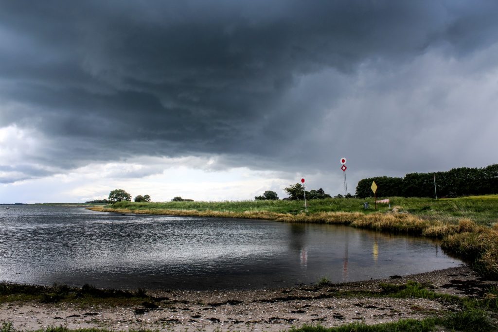
The rain became heavier as I biked back to Glud. And it continued. I thought it would never stop! I contemplated whether or not I should stop somewhere to keep dry, but I figured I might as well keep going, especially if I was to get to Horsens that same evening.
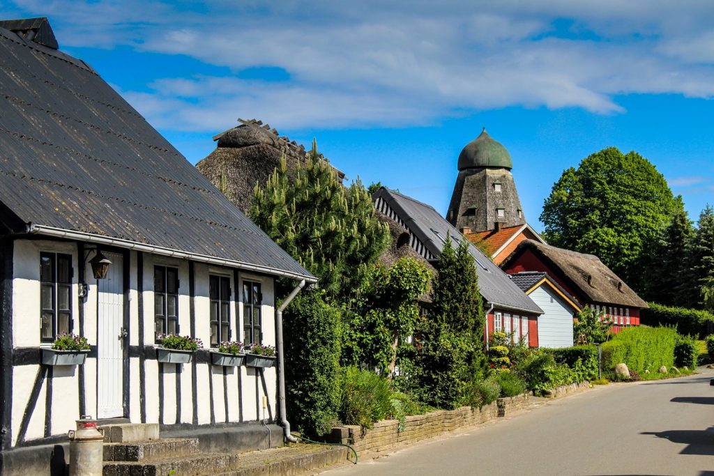
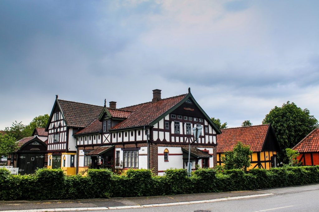
Once in Glud, I biked around to see some of its many beautiful half-timbered cottages while reminiscing about the summer day I spent in the fields of the village a few years ago, where I tried metal detecting for the first time (I didn’t find anything apart from a few nails!).
I biked to Glud Museum, an open air museum with 14 historical buildings that I’d been looking forward to explore. But with the constant rain and being under time pressure, I decided to postpone my visit for a sunny day where I’d have lots of time to fully indulge myself.
Finding Dysbjerg Sandbanke, an overgrown sandhill
A few hundred meters outside of Glud, I took another detour down to the fjord, this time to see an overgrown sandhill, Dysbjerg Sandbanke, a striking feature in the otherwise flat landscape. For many centuries, the hill was a natural meeting point for locals, and several folktales relate to the place. Unfortunately, the useful soil of the hill has been collected for many years, which means that the once so large hill has become increasingly smaller, and due to it now being completely overgrown, it can be difficult to spot.
I did manage to find it after a while, and I discovered a small footpath which lead to the top of the sandhill. There was no view as trees blocked it, but it was still a nice little nature walk. Once I got back to the bike, the rain had stopped and it actually stayed dry for the rest of the day!
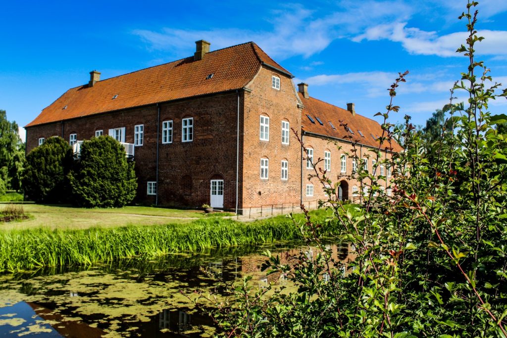
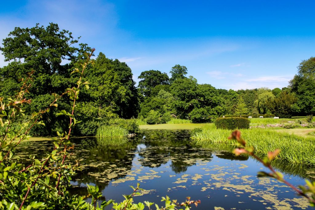
Boller Castle and its fairytale-like surroundings
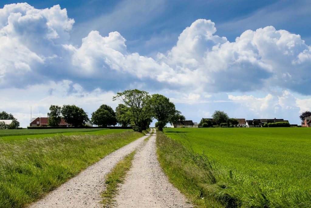
The next long section of the route took me along a main road, all the way from Glud to Boller, an eight km stretch. At Boller, I made another stop to explore some of the many interesting places in the area. Boller Castle, which dates back to the middle of the 14th century, is set in fairytale-like surroundings with a garden full of beautiful flowers and an oak tree that is about 1000 years old and is amongst the oldest trees in Denmark.
I didn’t allow myself a lot of time in the area as I wanted to catch a train back to Odder forty minutes later. It was already past 6 PM and I was exhausted, but I promised myself to return to the area to explore it further – and I did! A few days ago, my family and I explored the charming Japanese Garden in the castle garden and the nearby enchanting forest of Klokkedalen.
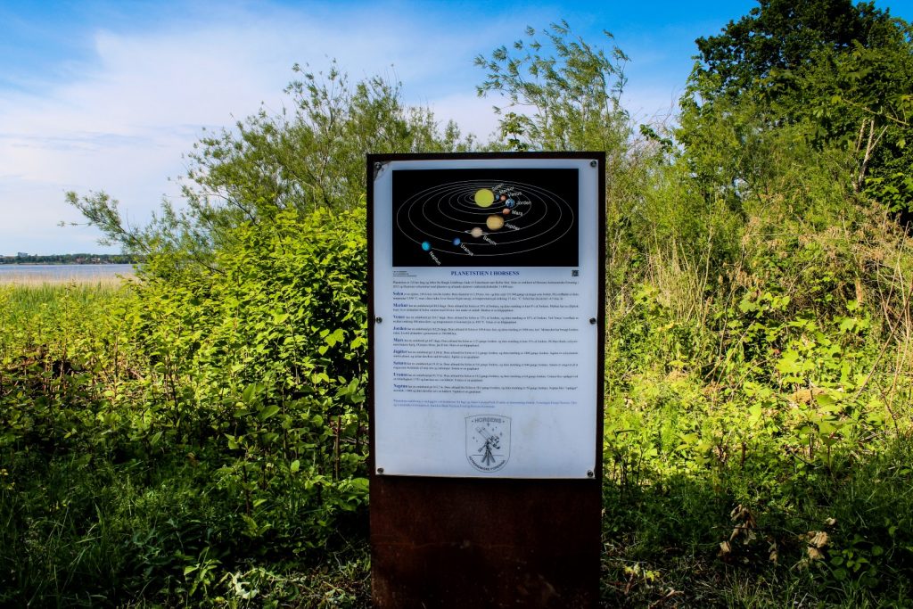
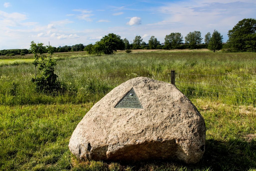
Along the Planet Path back to Horsens
There was one last thing to see on the route before getting to the train station – Planetstien (‘the Planet Path’). The path is three kilometres long and features the sun and the planets of our solar system with the distances between them in a scale of 1:1498 million.
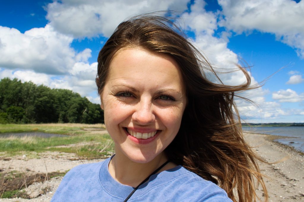
My journey started at the most distant planet, Neptune, and ended at the Sun, where I took a victory selfie to celebrate the completion of my three-day journey!
Info on biking along Horsens Fjord
ROUTE: The journey begins at Horsens Marina, follows the northern shore of Horsens Fjord past Stensballe, Haldrup, Søvind, Sondrup and Amstrup to the island of Alrø, where you can catch a bicycle ferry to the island of Hjarnø and then onwards to Snaptun, where the route continues along the southern shore of Horsens Fjord through Glud, Sejet and Boller and via the Planet Path back to Horsens.
LENGTH AND TIME: The route is 52 km long and can be biked in one day, but if you’d like to take some detours like I did, I suggest adding on a day or two.
HOW TO GET THERE: Horsens is the eighth largest town in Denmark and can be reached from all corners of the country. It’s well connected by trains and busses. See the times for transportation here.
BIKE RENTAL: I rented my bike at Tandhjulet in Odder as I live near Odder, but there are plenty of options for bike rentals in Horsens too, including the option to borrow a bike for FREE.
ACCOMMODATION ALONG THE ROUTE: There are plenty of options for accommodation in Horsens and along the route, including on Alrø and Hjarnø. You can see a list of accommodations in and near Horsens here. On Alrø, I can recommend staying at Galleri Mynster, where you’ll enjoy a cozy atmosphere and amazing window views, as well as dinner and breakfast that can be vegan and allergy friendly. You can book the room on Airbnb. On Hjarnø, the campsite offers an atmospheric stay, which caters to all budgets. See more here.
EATING AND DRINKING: There aren’t many supermarkets along the route, so I recommend bringing enough food and snacks for your journey. If you fancy eating out, there are options all over Horsens, as well as three places on Alrø, and a hot dog stand and the cozy café, Den Gamle Smedje, on Hjarnø (they serve vegan food if ordered a day in advance).
↠ This trip was made in collaboration with Visit Horsens, but all opinions expressed are solely my own ↞
Leave a Comment
Pingback: An abandoned world: The architectural masterpiece of Sondrup Bakker, Denmark – Northtrotter on 19/06/2020
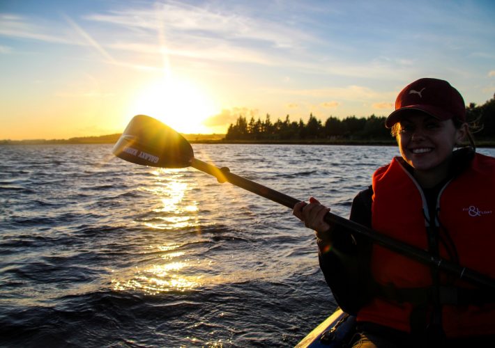
Pingback: Adventure at sea: A two-day kayaking trip on Horsens Fjord – Northtrotter on 19/06/2020

2 COMMENTS