I’ve spent the past eight months living on a farm outside Rødby, a small town of just over 2,000 inhabitants at the southern end of Lolland. Every day when I walk to work, I pass by a a section of Rødby Kanal, a canal that originates in Kramnitze, a village about 10 kilometres northwest of Rødby. I had long been intrigued by the history of the canal and the landscapes it flows through, so one Saturday, I decided to find out more. I travelled to Kramnitze and hiked along the banks of the canal in a search for its end.
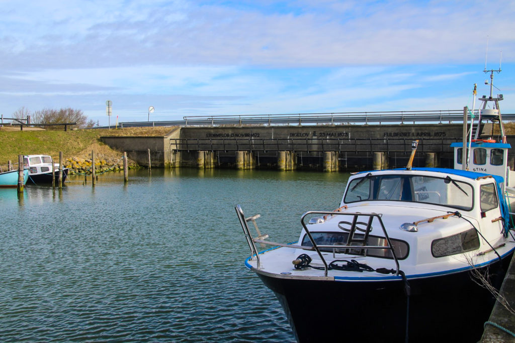
Before 1878, the canal didn’t exist and Rødby was still a harbour town, whereas the coast is now five kilometres away. Back then, Rødby Fjord was a natural connection between the town and the Baltic Sea, but it was drained in 1878 to make space for agricultural lands, but also as a direct result of a storm flood that hit the Baltic Sea coasts in 1872, killing at least 271 people, destroying 2.850 houses and leaving 15.160 people homeless in what is known as the biggest storm flood disaster in the Baltic Sea in modern times.
On Lolland, the waves rose three metres above the average and broke through the weak dykes that were supposed to protect the low-lying land from flooding. Rødby Fjord and Nakskov Fjord, which were eight kilometres from each other before the flood, were suddenly connected, and the southwestern part of Lolland had become an island.
The following year, the largest coastal protection scheme ever in Denmark was launched. Rødby Fjord was drained and four-metre high dykes were constructed along the entire coast of southern Lolland, reaching a length of 63 kilometres. In addition, 24 kilometres of canals as well as several drainage ditches were dug, some of them following the natural courses of former streams. The dykes were finally completed in 1878, although it wasn’t until 1966 that Rødby Fjord was completely drained.
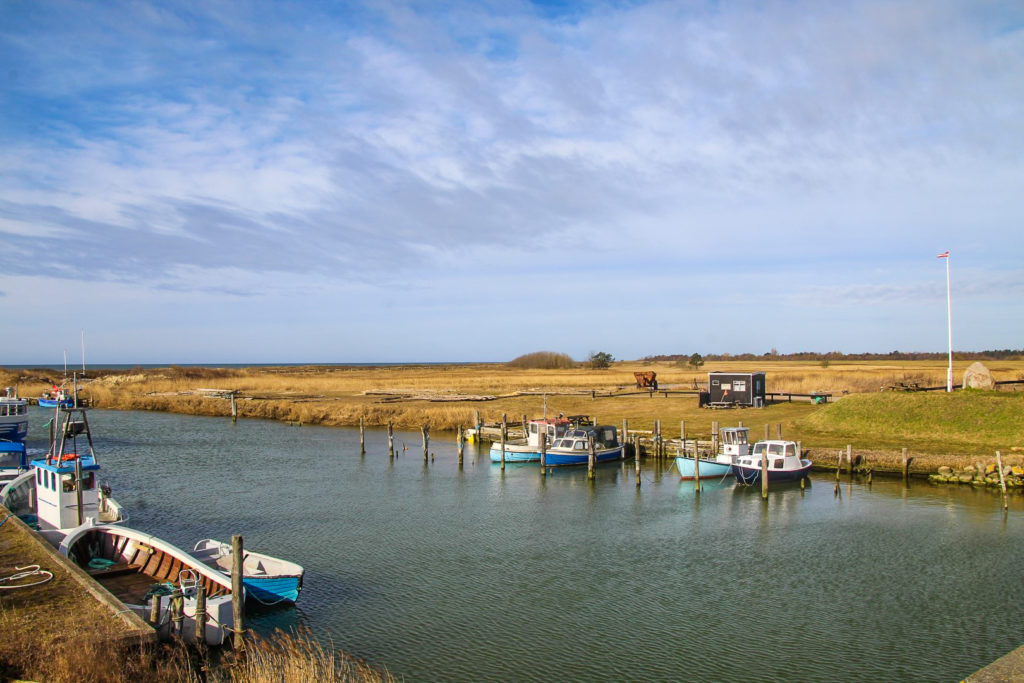
In the morning of a sunny Saturday in late March, I hopped on a minibus and arrived in Kramnitze 20 minutes later. The village is mostly home to summer houses for holiday-makers that come to enjoy the beautiful beach and the peace found here at the edge of Denmark.
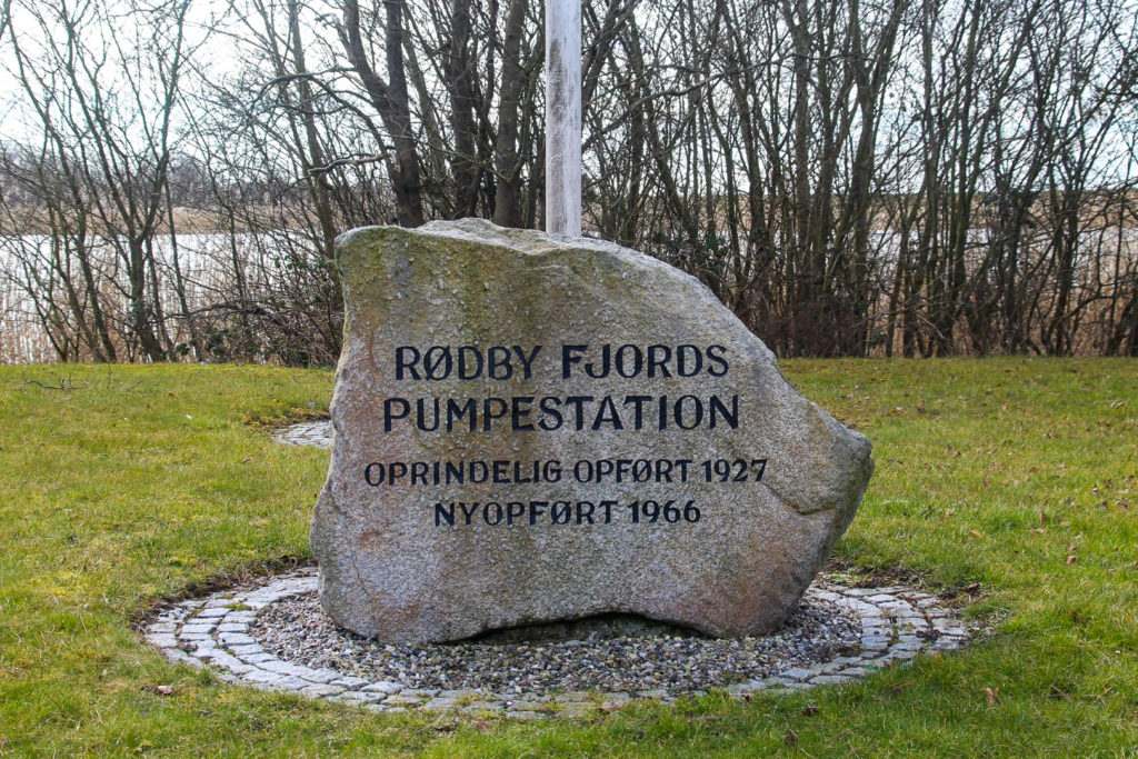
But Kramnitze is also home to the last remaining part of the former Rødby Fjord, as well as a pumping station from 1966 which constantly pumps water out from the grounds to keep the former fjord drained. It’s actually the largest pumping station in northern Europe, pumping up to 20 m³ of water into the Baltic Sea every second!
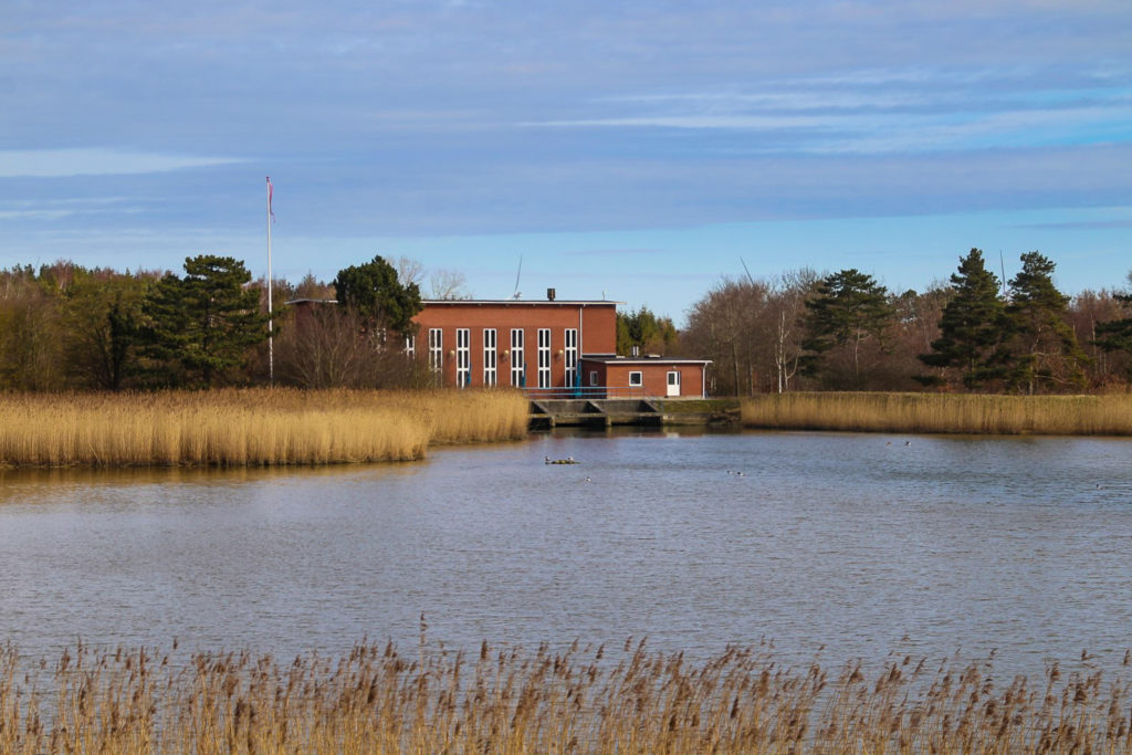
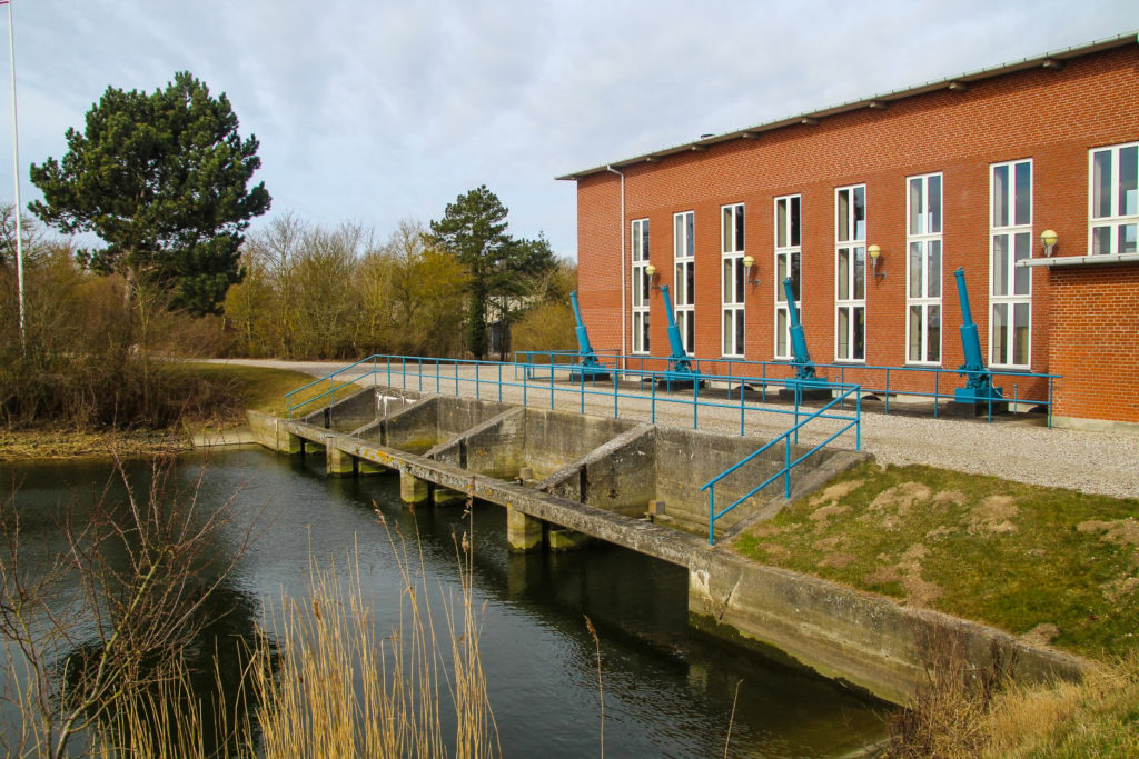
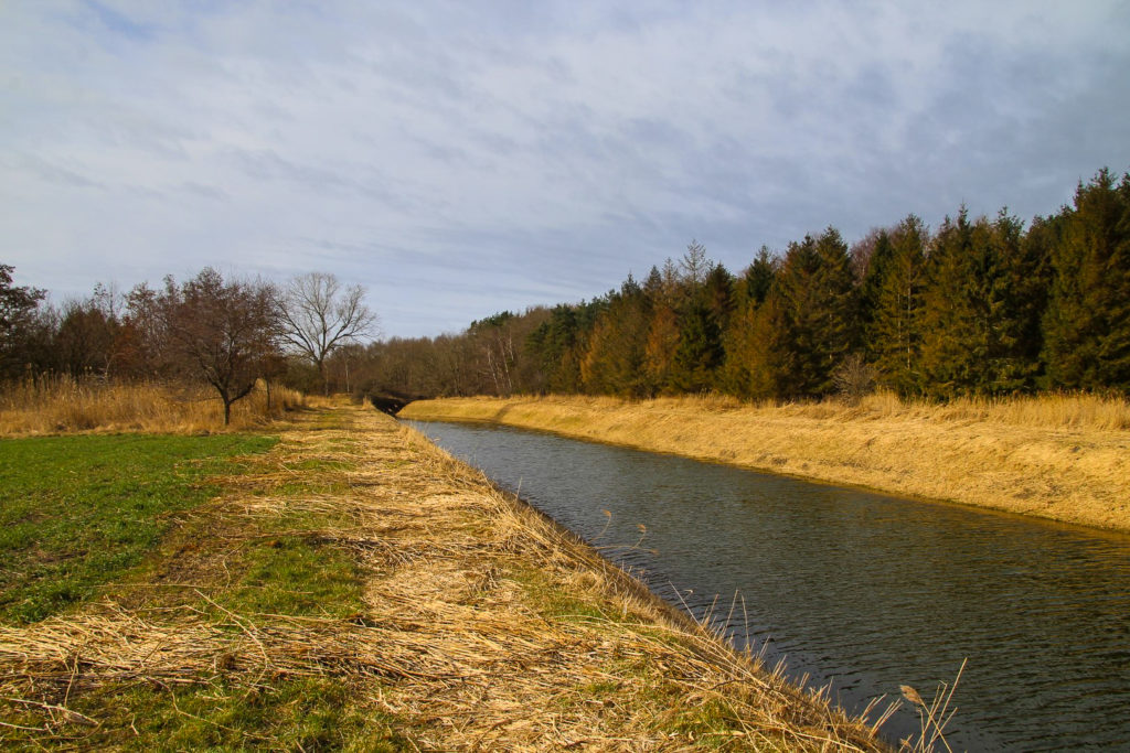
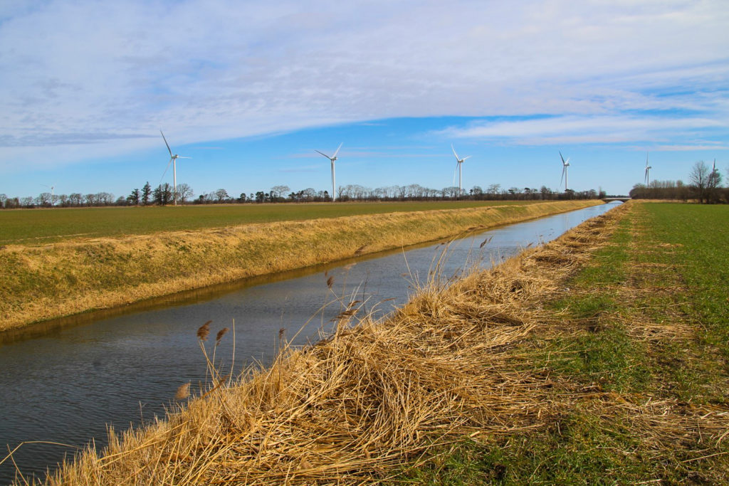
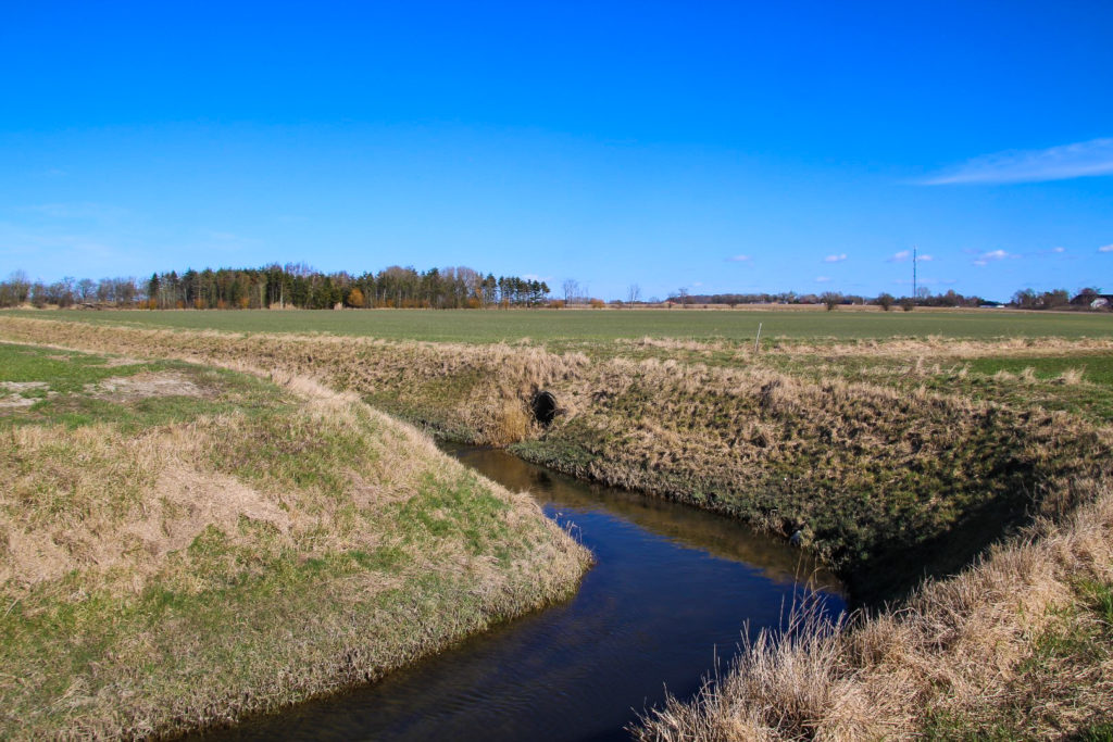
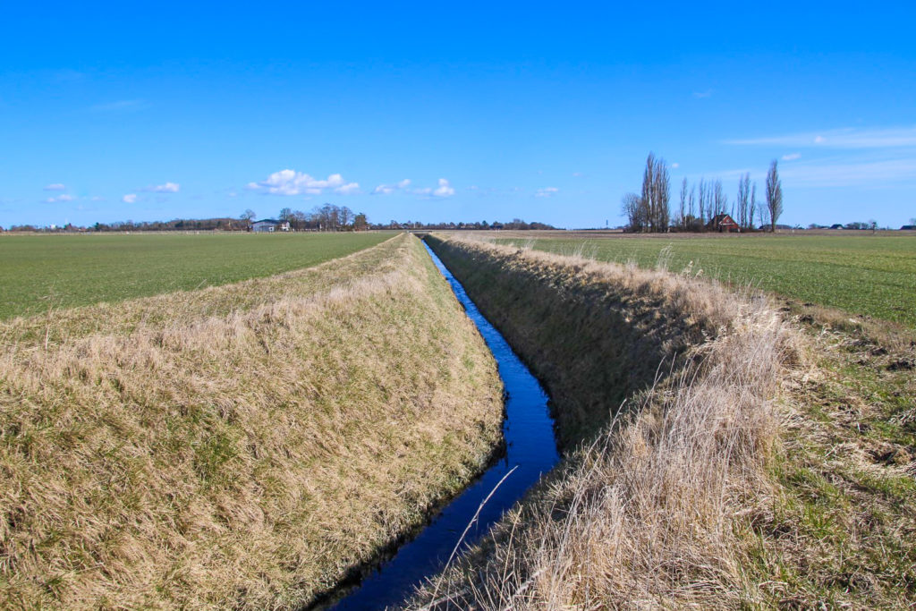
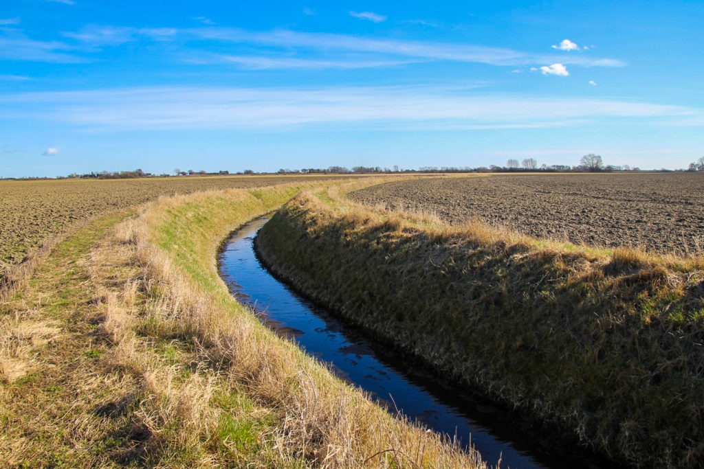
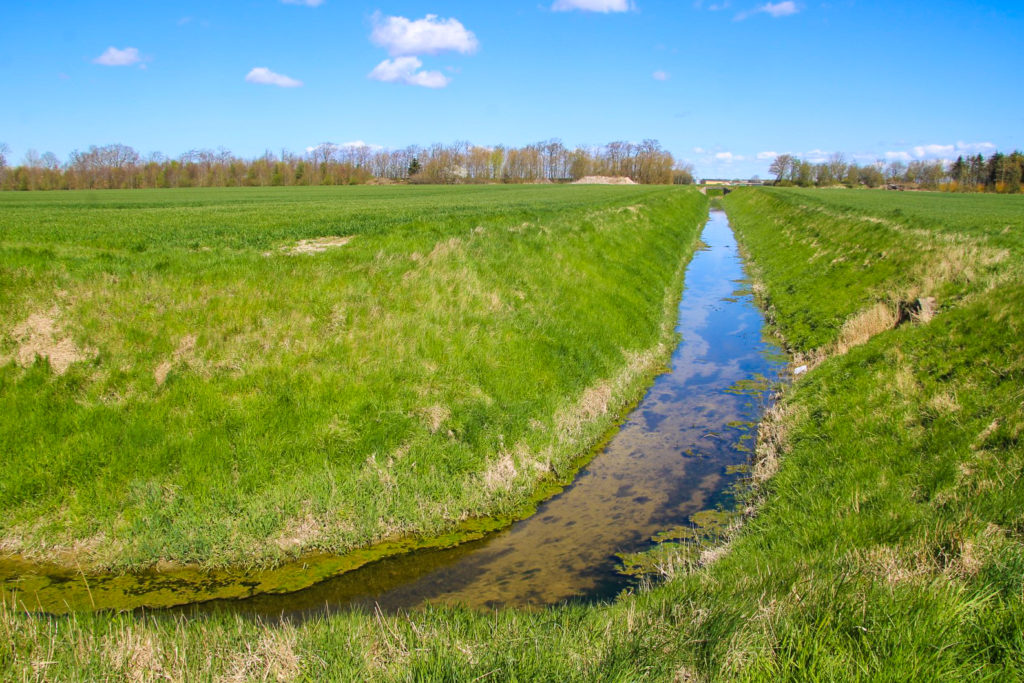
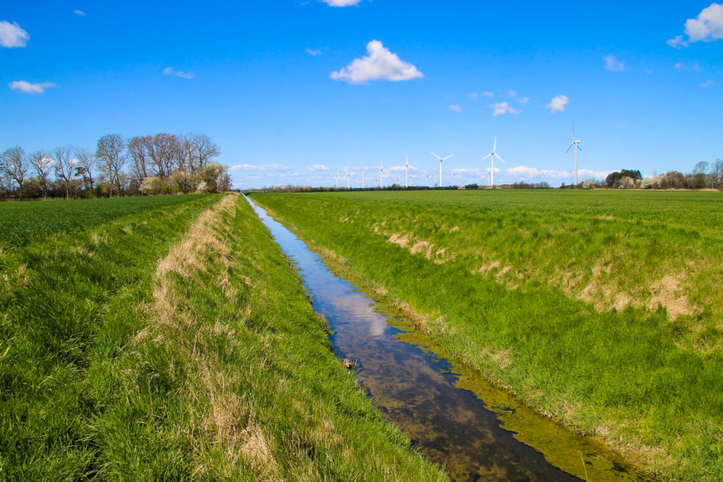
Just beyond the pumping station begins the wide Hovedkanalen (‘the Main Canal’), which becomes Rødby Kanal a few kilometres later. I couldn’t wait to follow the canal to see the landscapes it flows through. This wasn’t going to be the typical hike – I wouldn’t be following a trail or visiting tourist attractions, but I would be immersed completely in nature and the flat agricultural lands of southern Lolland. I would also get to see my temporary home from new perspectives, from places where few have walked before.
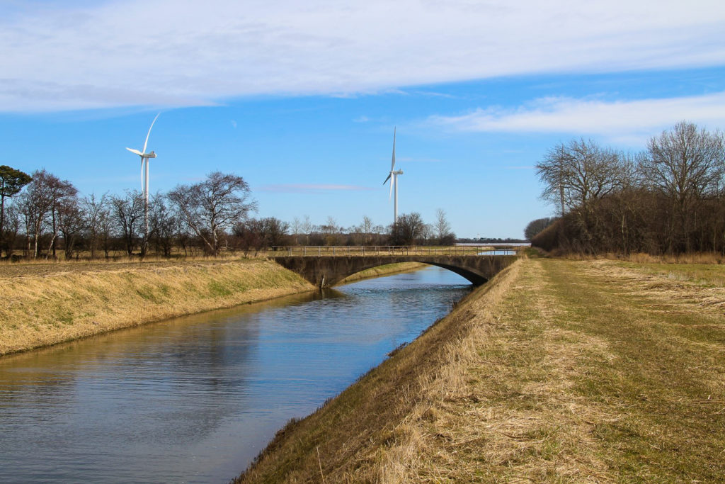
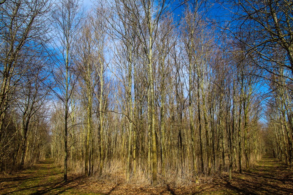
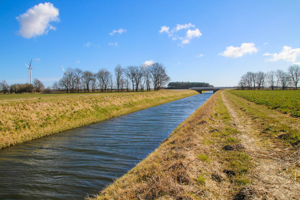
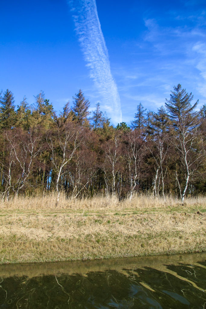
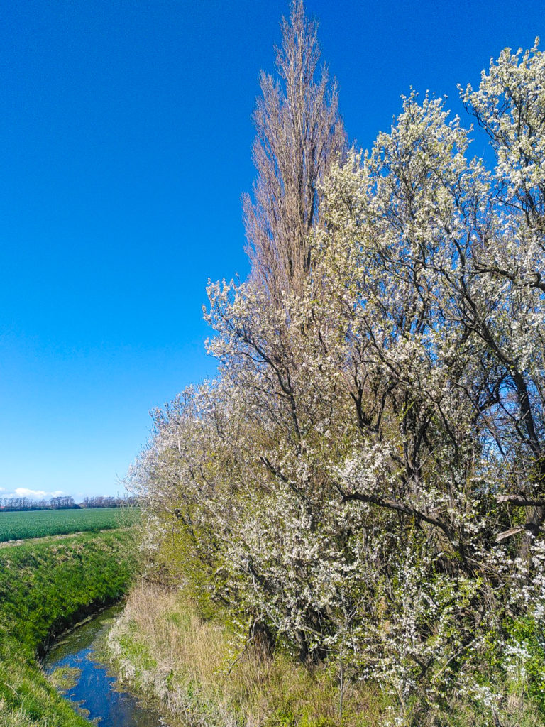
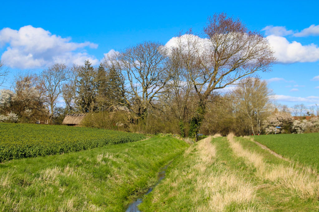
With the wind in my face, I wandered along the banks of Hovedkanalen and across a small road bridge until I reached my first obstacle, shortly before getting to the beginning of Rødby Kanal. A small ditch that was just a little too wide for me to cross was in my way, so I had to walk 500 metres along it until I finally got to a bridge where I could cross. I then walked the 500 metres back along the other side of the ditch. The detour was annoying, but I actually discovered a gorgeous little forest because of it – complete with a bench with a lovely view of the ditch and the naked trees of the forest.
I reached the end of Hovedkanalen where it splits into two, with Rødby Kanal going east and Nordkanal (‘the North Canal’) going north. I think it would be fun to follow Nordkanal one day, but this day was all about discovering my local canal, so I continued east along Rødby Kanal.
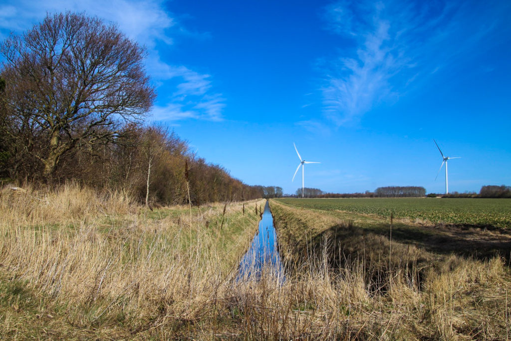
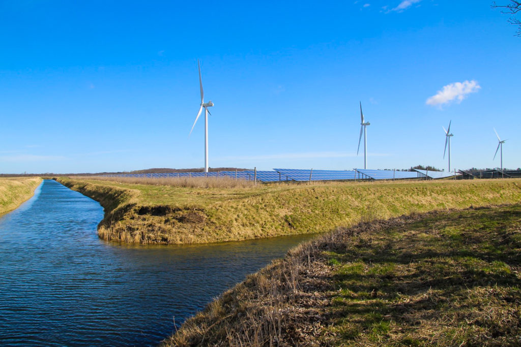
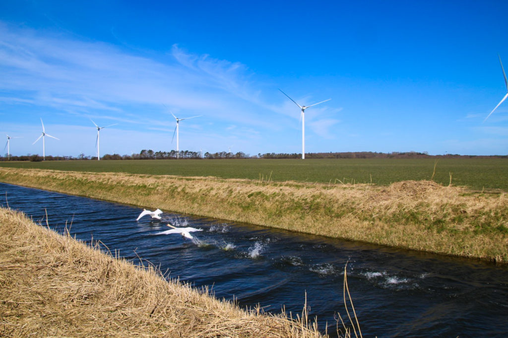
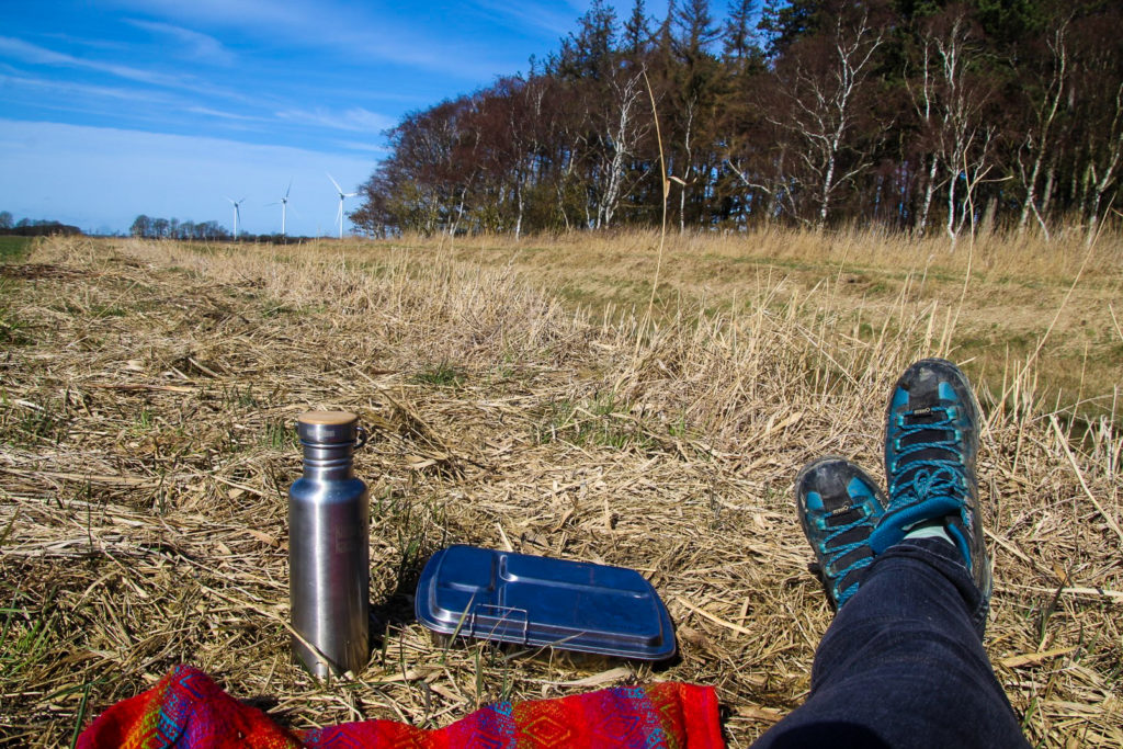
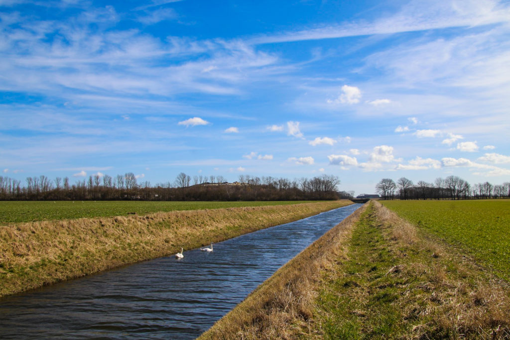
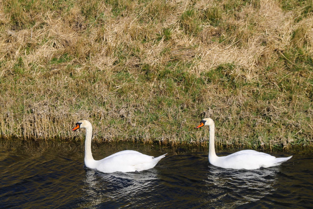
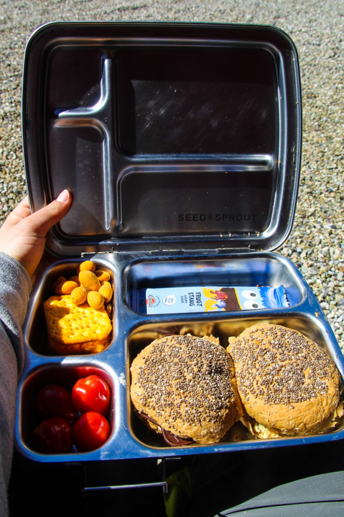
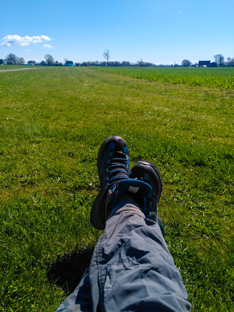
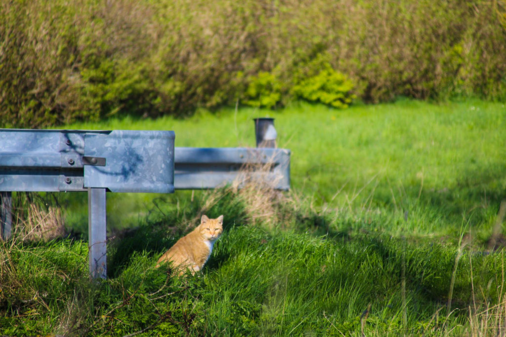
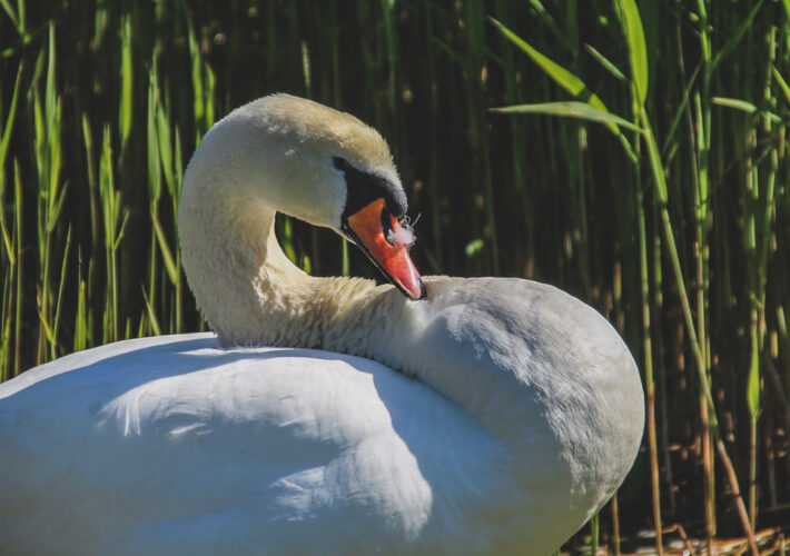
This section of the hike brought more wildlife. First, I met two geese that quickly flew off when they spotted me, and moments later, two swans appeared and swam alongside me for a while before dramatically flying off as if suddenly realizing the potential threat in me… Not long after, I found a nice spot to sit on the grass to eat my lunch, sheltered from the wind by a tiny forest opposite me. I enjoyed the peace and quiet, miles away from the nearest road and with only the sound of nature, distant wind turbines and my own satisfied munching.
When I got up to continue my hike, I spotted another set of swans (or maybe they were the same ones?) in the distance. They allowed me to get up close to them before turning around to float the other direction, leaving me to hike on my own.
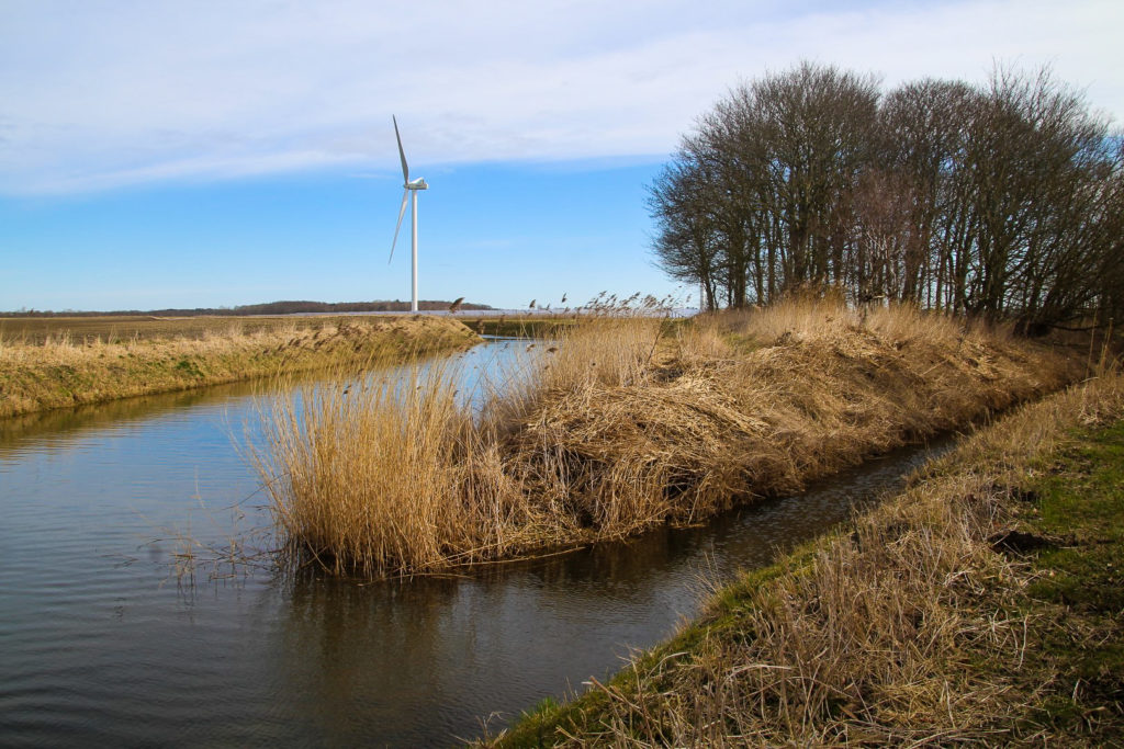
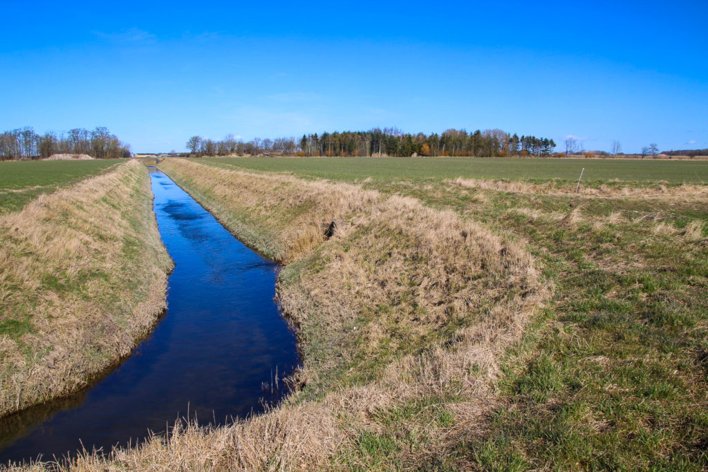
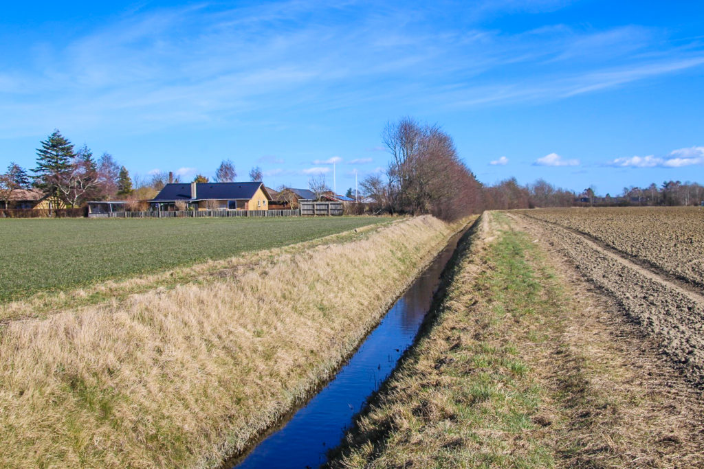
I soon reached another small forest but there was plenty of space for me to walk between the trees and the canal. In fact, I was surprised to learn that I could walk with ease along the canalside the entire way with hardly any obstacles apart from the aforementioned ditch! It’s almost as if they designed the canals with hikers in mind!
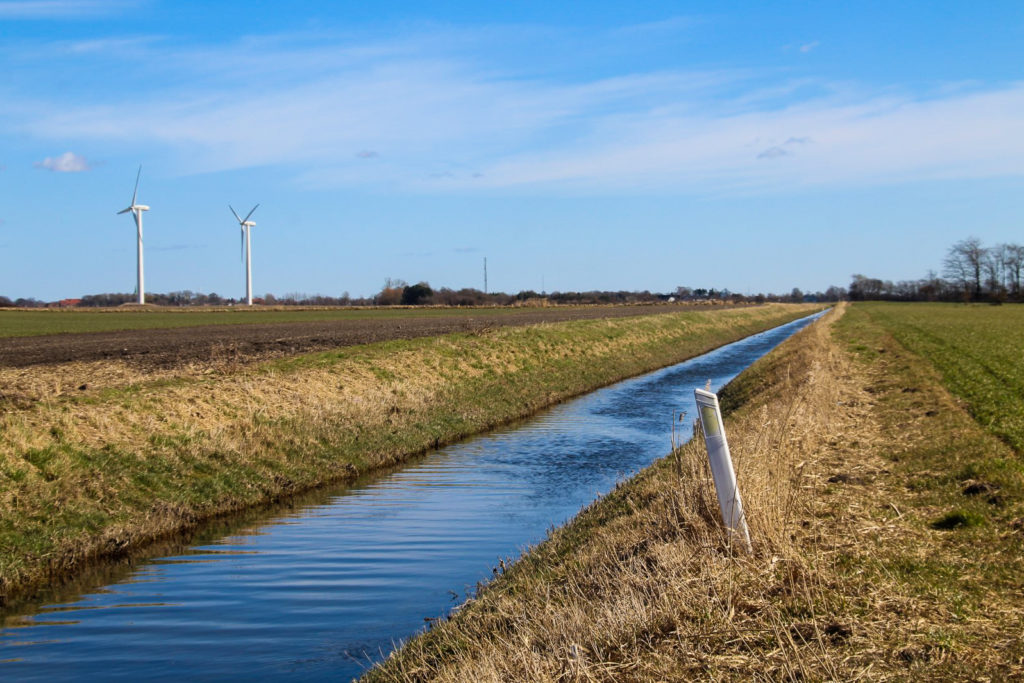
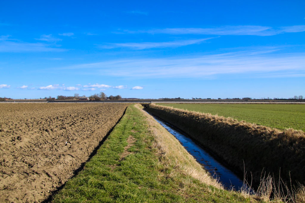
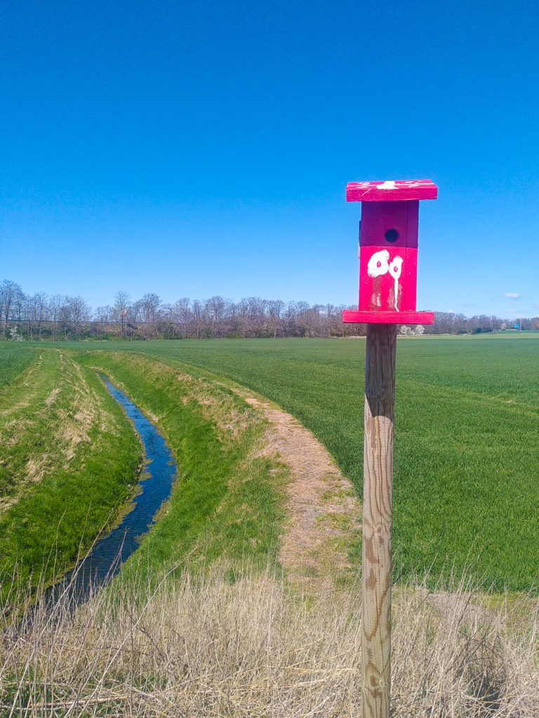
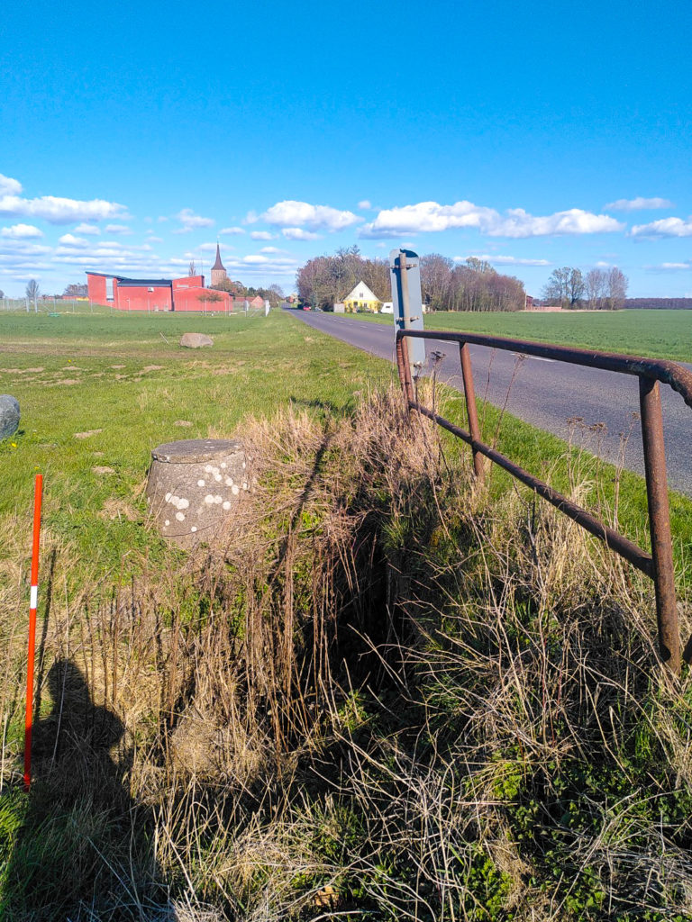
Another ditch appeared on the other side of the canal, and Rødby Kanal narrowed a little. A large bird of prey flew above me as I neared the end of the forest, and random reflective road posts started appearing here and there. I wonder how on earth those got there!
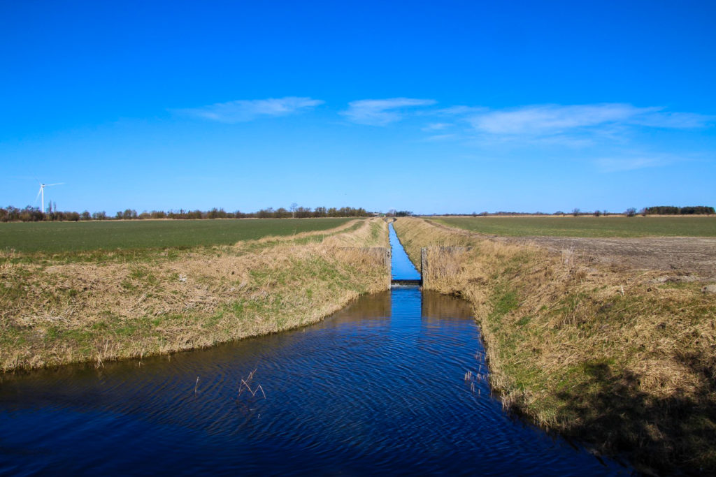
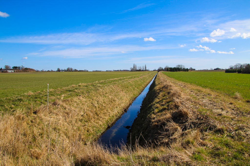
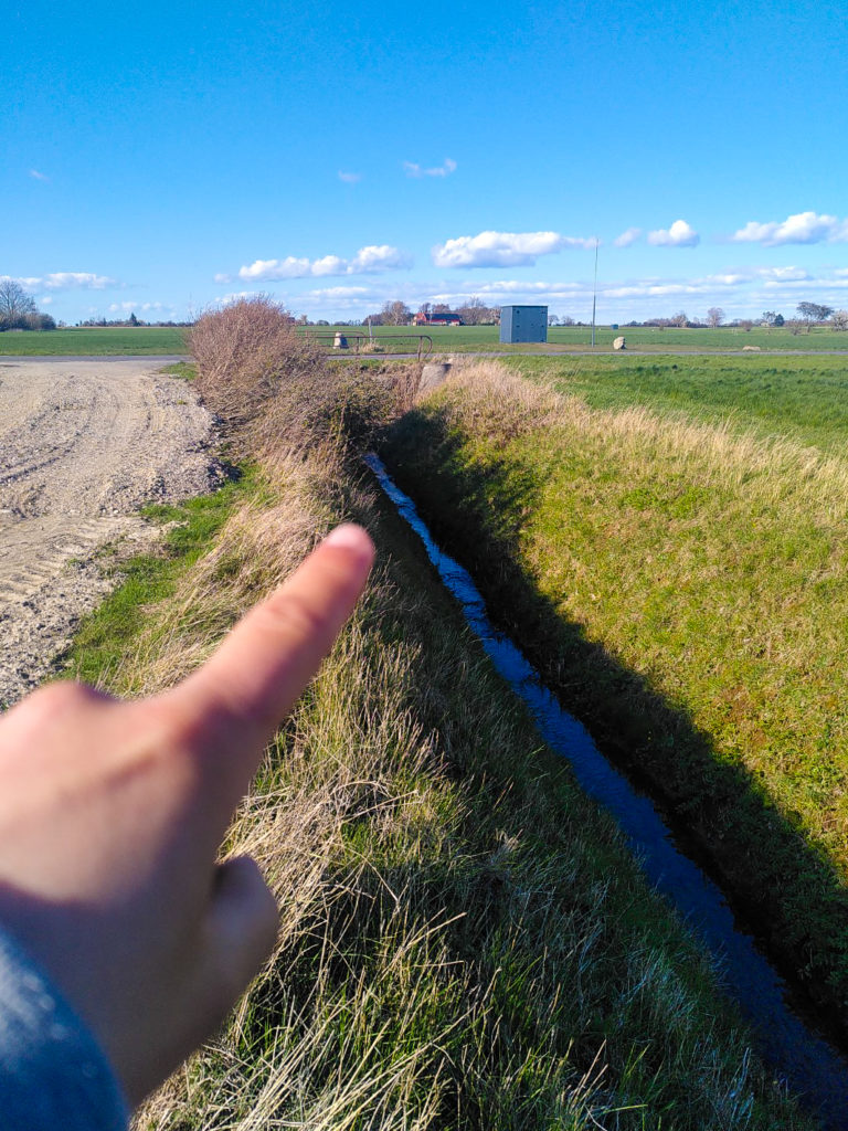
During my research, I’d clearly missed the fact that Rødby Kanal actually splits in two, and I was extra surprised when I learned that my local part of the canal is merely a narrow ditch, and that the main flow actually goes northeast and continues for another 15 kilometres until it ends a few kilometres outside of Holeby….
I debated what to do. Should I abandon my original plan and follow the main flow of the canal to its end? Or should I just continue along the part of the canal I’d been so curious about for months? Or do both, maybe? I decided on the latter. I would hike along the narrow part of the canal that day, and then return another day to hike along the main, wider part of the canal.
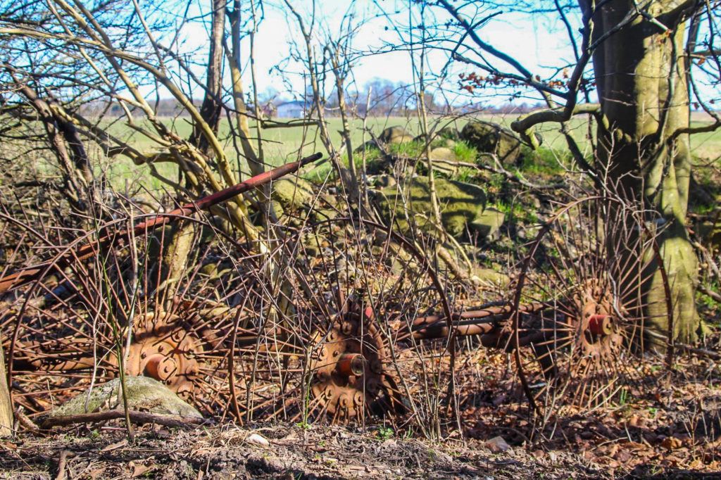
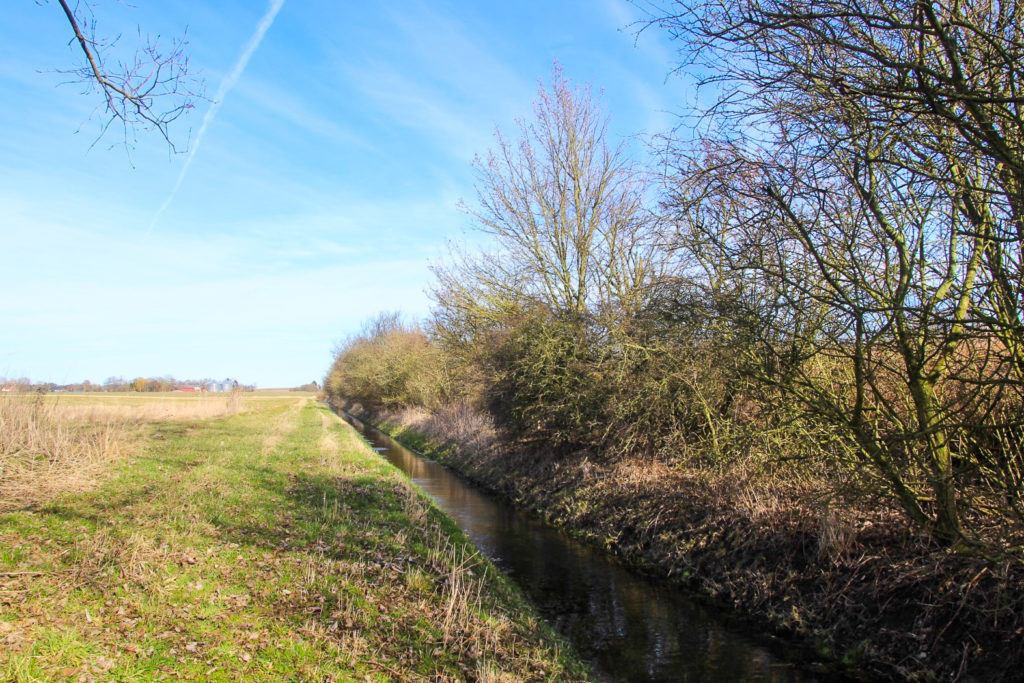
And so I continued, along the narrow canal, through yet another small forest full of abandoned farming equipment that I had to fight my way through as fallen trees blocked my way along the canalside. I followed the canal past the outskirts of Rødby and into well-known terrain.
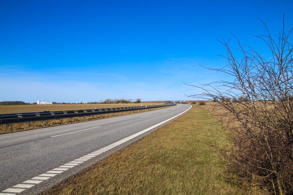
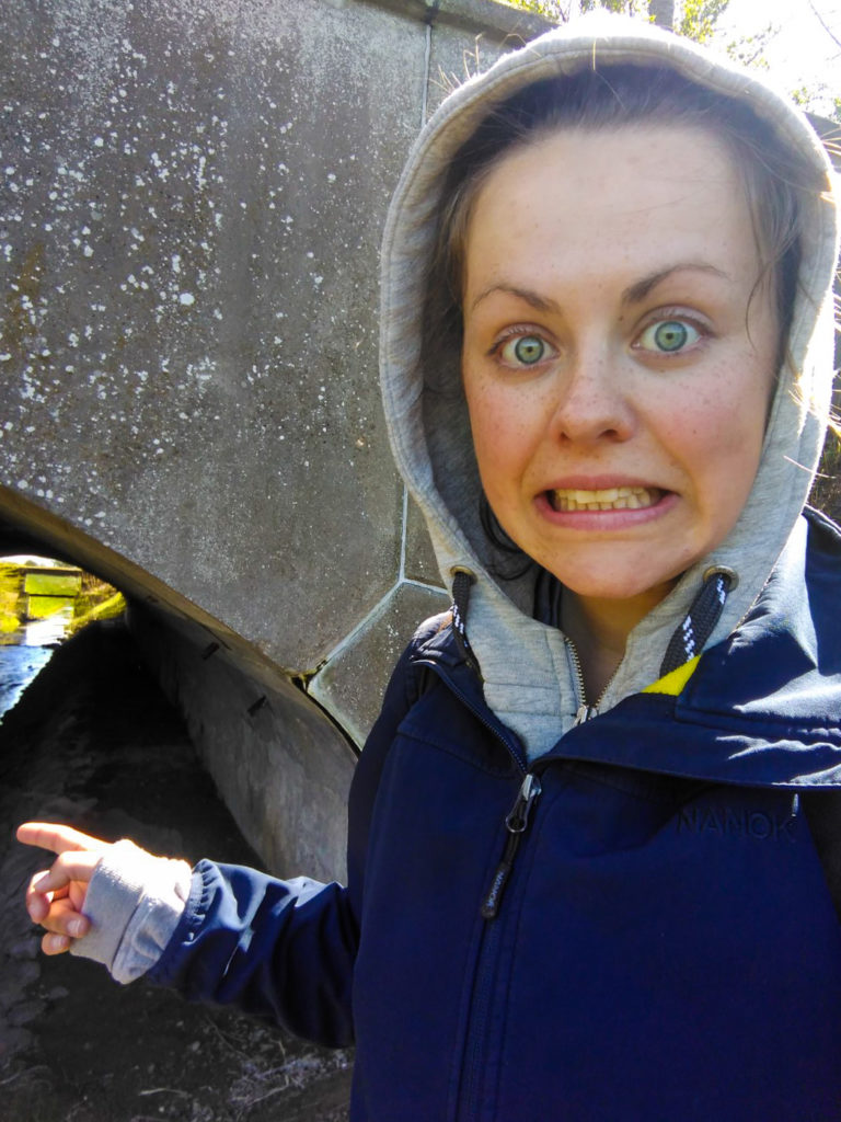
The next section of the canal actually has a trail alongside it, one I’ve walked many times with the dogs from the farm. Unfortunately, the ease of the trail was short-lived as I soon reached the highway which the canal flows under. There is no way to cross, no bridge or anything, and although the highway through Lolland is deserted in the weekends, it’s not a risk worth taking as people down here tend to drive very fast. So I had to take a long detour, back to the trail and up to a road that crosses over the highway, before walking down another road that crosses the canal, and then I could finally rejoin where I’d left the canal on the opposite side of the highway.
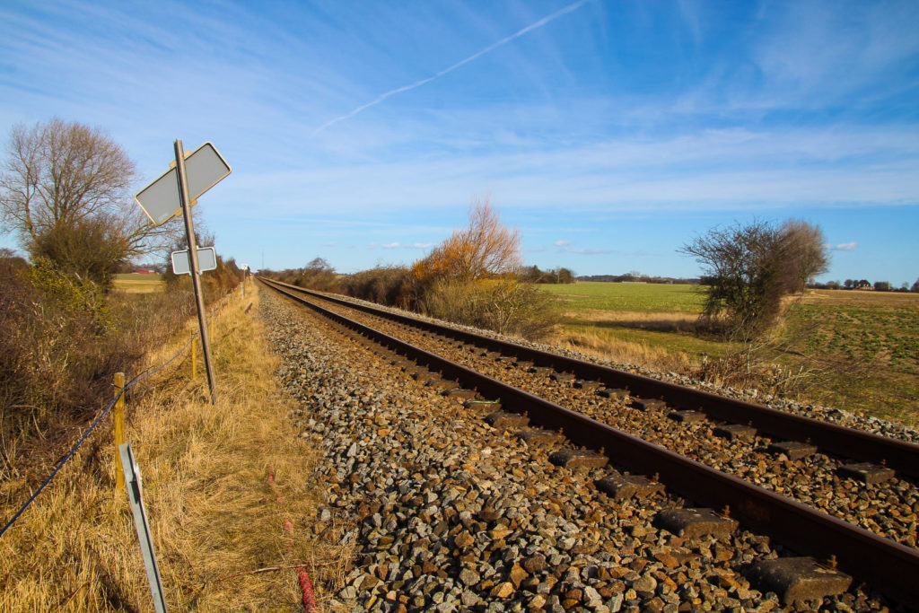
Then came the section of the canal that I walk past every day on my way to work. It’s very narrow here, and very close to the end according to maps.me. However, as I’ve learned in the past, you can never trust maps! Because the canal didn’t end where maps.me suggested, instead it continued south for another 500 metres before finally ending somewhere beneath the railway tracks. I wanted to be sure that I’d found the end, so I even walked onto the tracks to look – and sure enough, I had come to the end of the first part of Rødby Kanal!
Five weeks later, at the end of April, I returned to the spot where the canal splits in two, determined to finish the hike and find the end of the wider part of the canal. I had cheated a little, however, as I’d actually found the end the day before and parked my bike near it so I wouldn’t have to walk the seven kilometres home after a long hike. Way to be prepared!
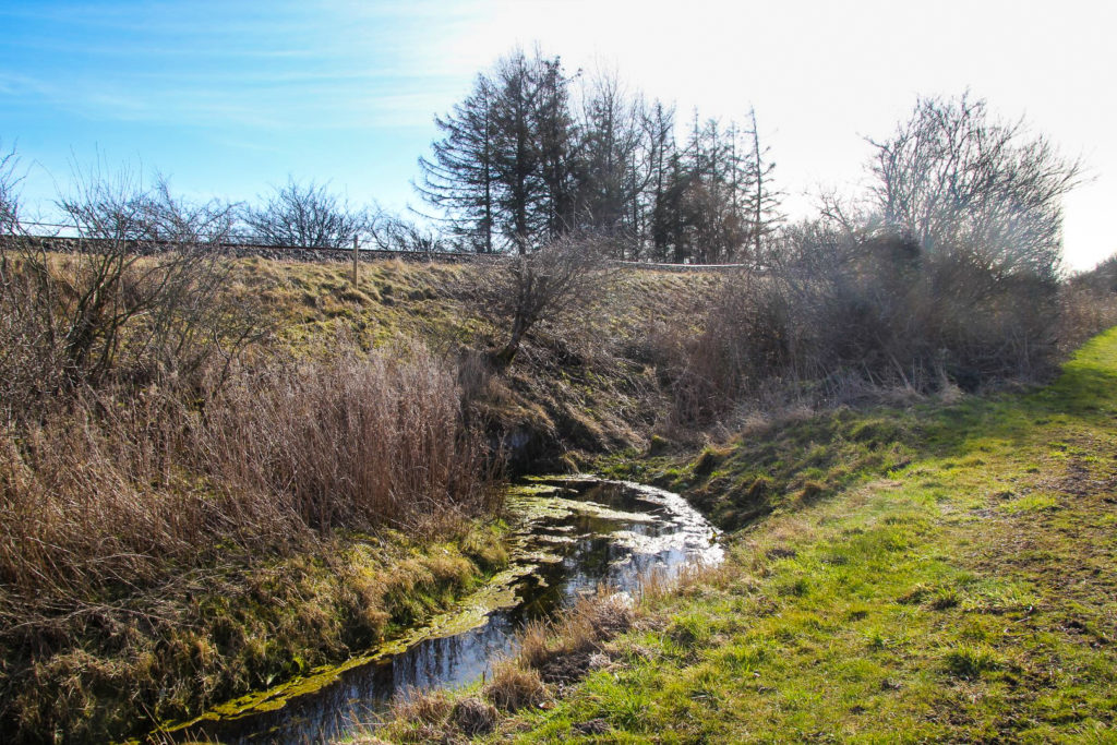
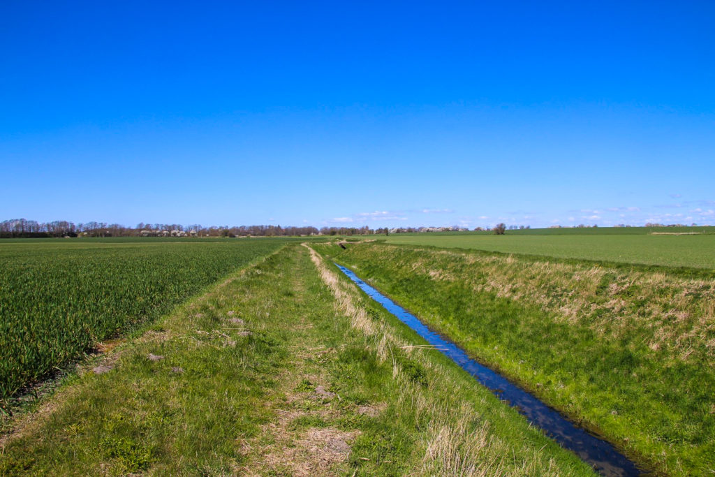
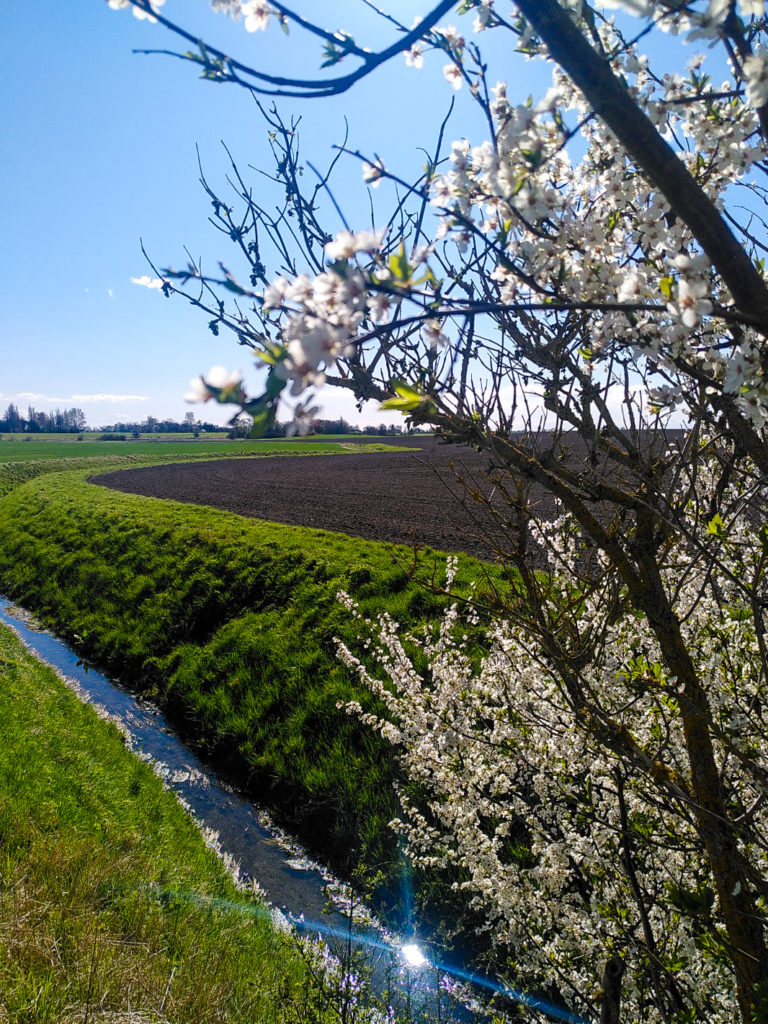
After five weeks of zero rain, the canal looked rather sad in comparison to my March hike. As I write this (in June), the part of the canal that I pass by on my way to work has dried out completely.
It was another beautiful day, warm but not too hot to hike, and I enjoyed the solitude of being completely alone in the middle of nowhere. After a few kilometres, I reached the outskirts of Rødby, only now I was in the northern part of the town as opposed to the southern part that I’d walked past in March. It was fun discovering a new part of my temporary hometown.
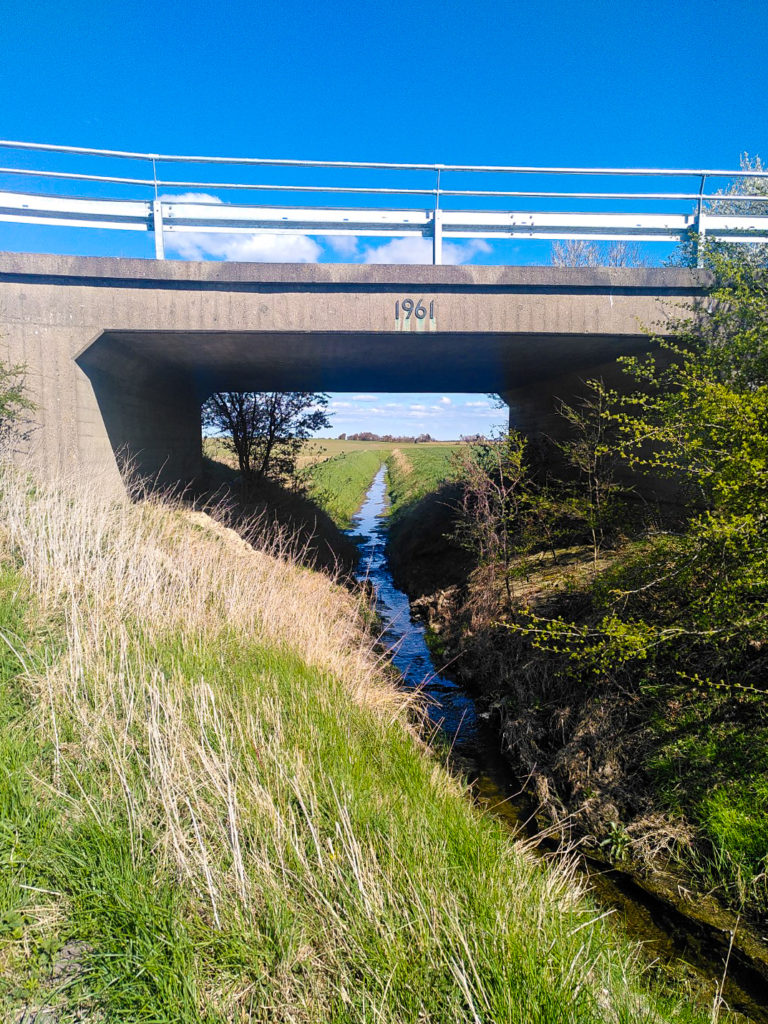
Further along the canal, I saw my favourite village in the area, Sædinge, from a new perspective, and then came to the highway… Again! Thankfully, this time, I was able to continue following the canal without a detour as there is a bridge going under the highway, wide enough for me to crawl alongside the canal. So I crawled under the highway! Coming out on the other side, I joined onto a path that lead me to the old railway trail that connects Rødbyhavn with Maribo. I didn’t stay for long though, as the canal flows under the trail and into more flat farmlands.
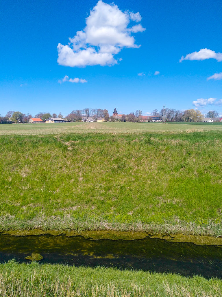
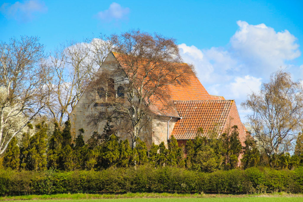
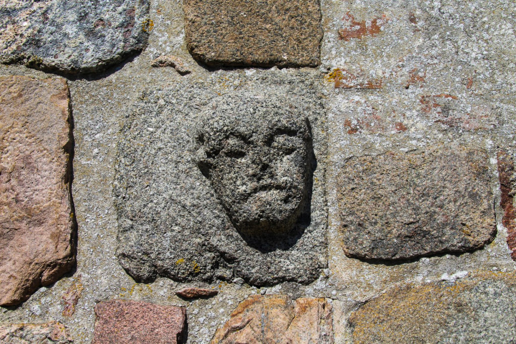
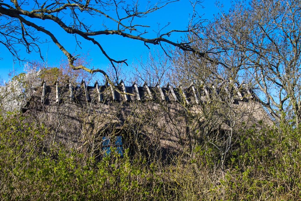
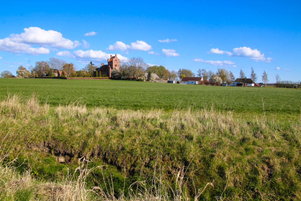
The next section was really interesting as I got to see the 12th-century Ringsebølle Church from a fresh perspective. I’ve walked and run past that church many times, but never been inside, so I decided to do a little detour to finally explore the church which is believed to have been built by Irish monks. It was actually built on a former island in the former Rødby Fjord, but there are no visible signs of the island today.
Unfortunately, the church wasn’t open, but I decided to linger for a while anyway, to enjoy my lunch in the sun with a view of the ancient church.

The next part of the hike took me past some well-known landscapes near the villages of Tågerup and Lundegårde that I’ve often walked and run through. I was really enjoying seeing the areas from different angles.
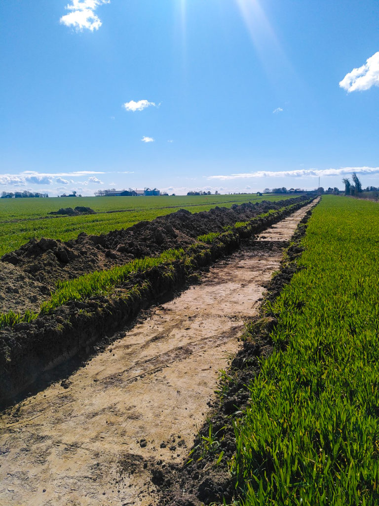
I had to cross the railway tracks twice as the canal bends and flows beneath it twice, and then I came past an excavation that my colleagues recently carried out. I reached the tiny village of Torslunde, which I’d never been to before, and then walked under another road bridge, clinging to its sides to avoid falling into the canal. I could’ve just crossed the road – it’s just a normal, quiet road – but this felt much more adventurous!
A deer jumped out right in front of me as I neared the end of the canal, with the town of Holeby in the distance. I hiked over a couple of fields and then finally, with tired legs and sunkissed cheeks, reached the end of the almost-empty Rødby Kanal. Mission complete!
Hiking route description: Along Rødby Kanal through southern Lolland
The hike begins behind the pumping station in Kramnitze. Follow Hovedkanalen, the canal behind the pumping station, on its right side. A few kilometres along the canal, you’ll reach a road bridge. Cross it and keep walking along the canal. You’ll soon come to a small forest. At the edge of the forest, you’ll reach the first obstacle, a small ditch that you can either try to cross, or take a detour of about one kilometre. If you decide to take the detour, follow the ditch for 500 metres until you reach a small bridge, cross it and follow the other side of the ditch back to Hovedkanalen. Soon after, you’ll reach the beginning of Rødby Kanal, which is where Hovedkanalen splits into two slightly narrower canals. The one going east is Rødby Kanal, which you should follow on its right side.
You’ll have to cross a few road bridges and then after several kilometres, you’ll reach the area where Rødby Kanal splits in two. You can either choose to follow the main flow of Rødby Kanal, (the longer of the two), the narrower flow or both, like I did (on two separate days). Below, I’ll explain how to follow both parts of Rødby Kanal:
The narrow flow: The narrow flow is to your right. Hike on the right side of it, and you’ll soon reach a small forest which you’ll have to make your way through. There is no path through the forest, but it’s small and not dense, so it shouldn’t be too difficult. Continue along the right side of the canal as you pass by Rødby and continue along a short trail on the left side of the canal and further into a field until you reach the highway. DO NOT ATTEMPT TO CROSS THE HIGHWAY. Cars drive fast here, and it’s much better to just take a detour around the highway. Follow the canal back to the trail and turn right onto the old railway path. After 450 metres, turn right onto Lundegårdsvej and follow the road over the highway bridge. Take the next turn you see to your right, onto Ottelundevej and follow it until you reach the canal. Then walk along the canal to the edge of the highway – that way you won’t miss a thing! Follow it back to Ottelundevej and cross over the road, continuing along the canal on its right side. You’ll soon reach a point where the canal goes south. Follow it for another 500 metres and you’ll have reached the end of the first part of Rødby Kanal! The hike ends here. To get back to civilisation, follow the canal back to Ottelundevej, turn right and then left onto Lundegårdsvej and follow the road until you reach Rødby.
The route is an easy 16 km, which takes 5-6 hours to complete.
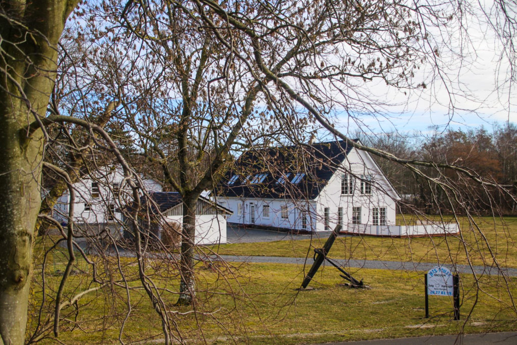
The wide flow: The main flow of Rødby Kanal goes north. Follow the canal on its right side. After a few kilometres, you’ll reach the outskirts of Rødby. If you need the loo, there’s a primitive toilet in the forest to your right. You’ll soon see the village of Sædinge to your left, and soon after, you’ll meet the highway. The bridge under the highway is wide enough for you to cross without getting your feet wet! Once you get out on the other side, ignore the ditch to your left and continue following the canal to the old railway path and then over the small bridge, staying on the right side of the canal. You’ll soon see the ancient Ringsebølle Church, which is a nice little detour. Just walk up to the church when you get to the first road, and then return back to the canal to continue the hike. You’ll soon reach the railway tracks which you’ll have to cross twice, and then you’ll get to a road which you can either walk over or take the more adventurous route, under the bridge! The village of Torslunde is up next. Once you get there, cross over to the left side of the canal and continue out of the village. The last stretch goes through a couple of fields, and then the canal ends abruptly at the other side of Fuglsevej. The hike ends here. To get back to civilisation, turn left and continue along the road until you reach the town of Holeby.
The route is 24,5 km, takes 8-9 hours and it is easy although rather lengthy.
Leave a Comment