This post contains affiliate links. If you make a purchase through these links, I may earn a commission at no extra cost to you. Thank you!
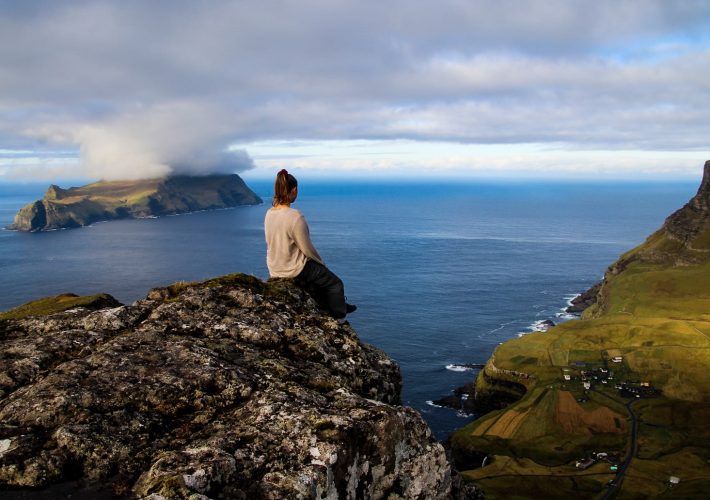
Last year in August, when I travelled through the Faroe Islands for a week, I took a trip to the island of Mykines, famous for its rich birdlife, including my favourite bird – the puffin. This year, I wanted to show Katrine this magical island, which in many ways differs from the other Faroese islands. Not only is the island perfect for birdwatching and a great place for hiking, it’s also one of the most picturesque islands, no matter where you go.
Mykines is popular with tourists as well as Faroese people (and apparently crazy ornithologists too), who visit the island and its 14 year-round residents in the summer months. Despite this, there are still plenty of unexplored places on the island, and although we also hiked the popular Mykinesholmur route, which I also did last year, we decided to see some more of the island and chose to hike the lesser known route to Knúkur, the tallest mountain on the island, through the stone forest of Korkadalur.
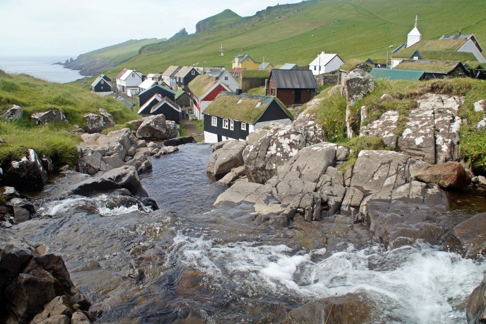
The hike starts on the only road that leads through the tiny village. We asked the lady behind the counter in the only shop on the island, and she told us the route which seemed easy to follow. Little did we know, the one track with ruts that she told us to follow turned out to be one of many, so inevitable as it is when I go hiking, we got lost. Thankfully, Mykines is a small island, so we could see the village below us for most of the hike, so we couldn’t get lost for real, but we did go a bit off-track.
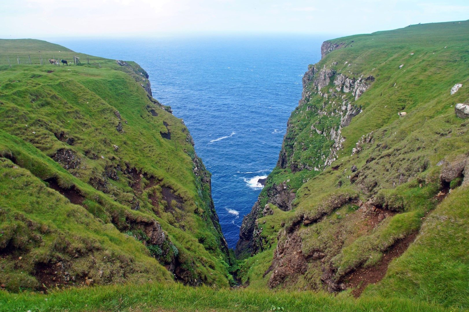
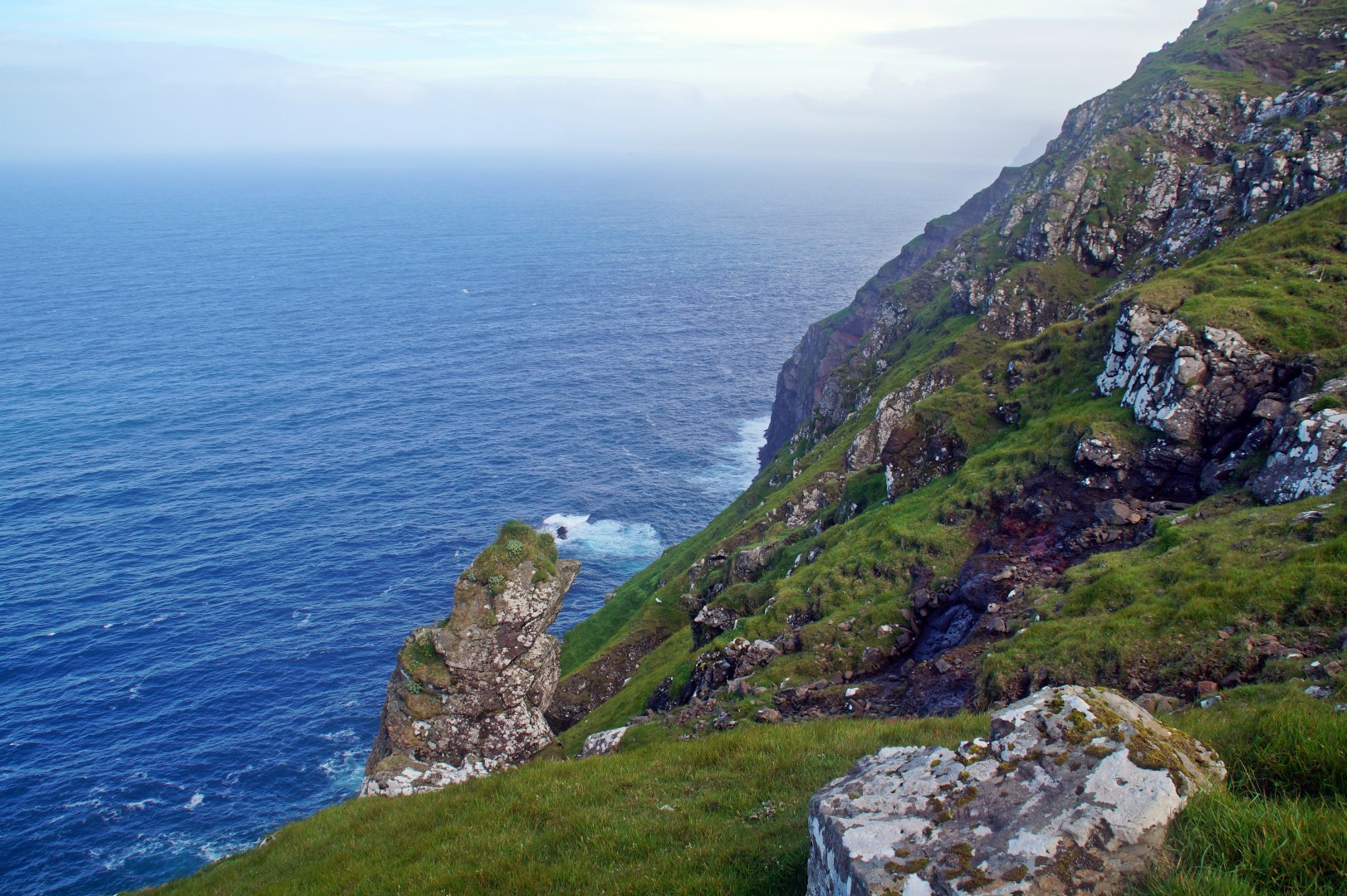
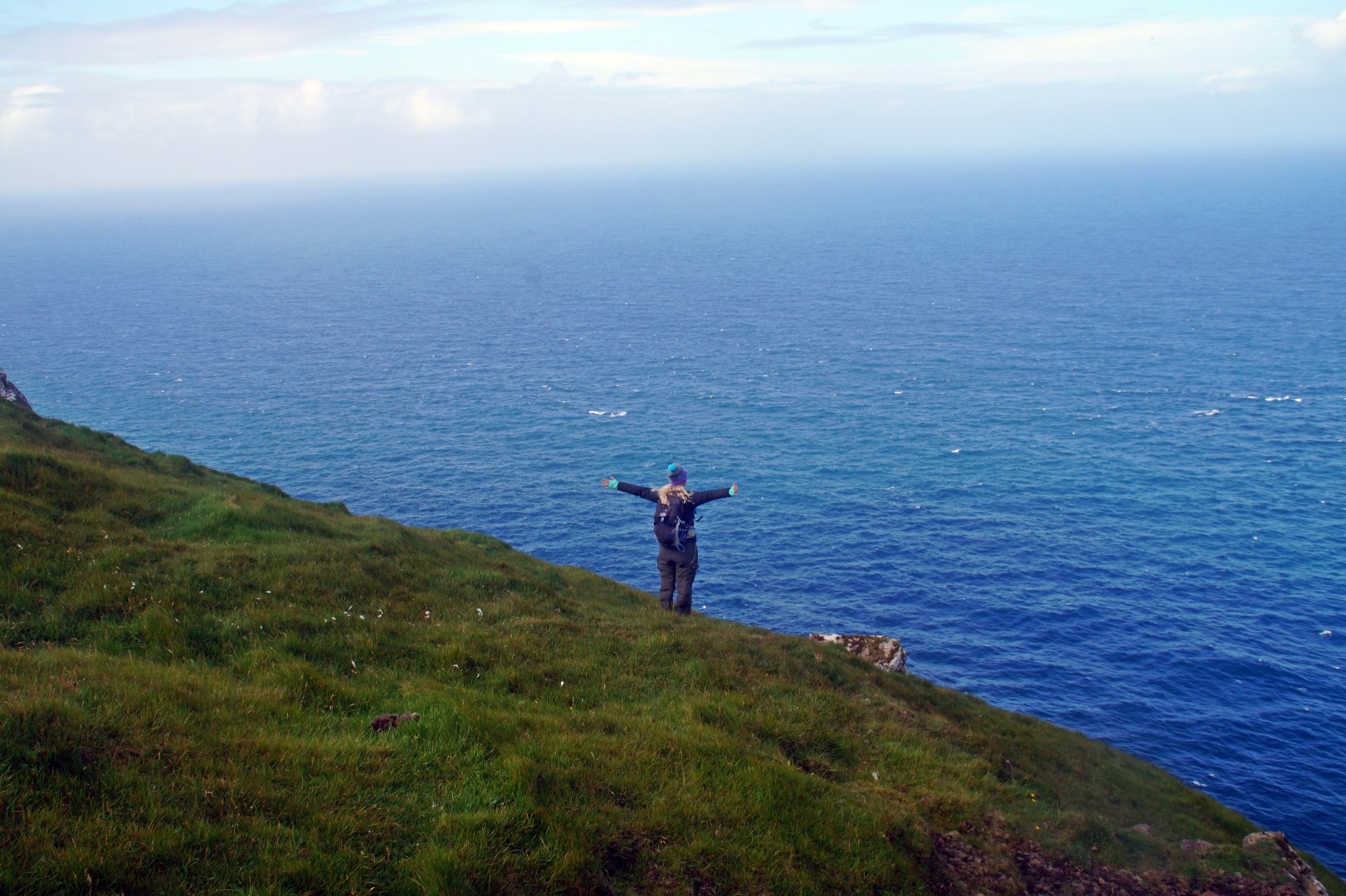
But going off-track is always fun – I actually enjoy getting lost, because I always come by something amazing and unexpected. We were walking along the cliffs on the north side of the island, when we came to the beautiful gorge, Tindagjógv at 150 m. above sea level. A quick search on Google shows no pictures of this amazing place, something that I cannot understand. How can a place as gorgeous as this, just as spectacular as the famous gorge in Gjógv, if you ask me, not be recognized and appreciated? I’m sure it will be someday, but at least we got to enjoy this magnificent view with birds as our only company.
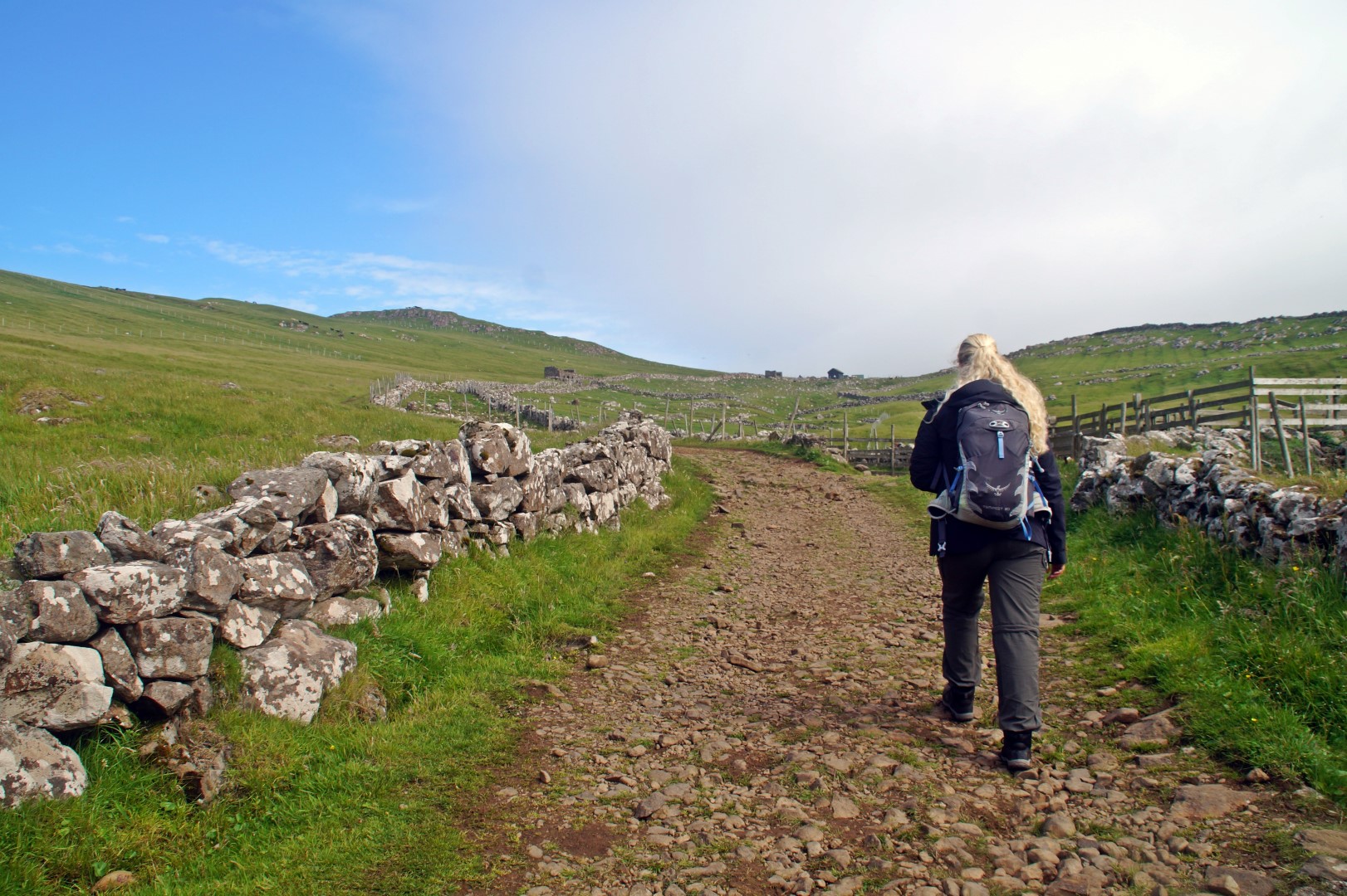
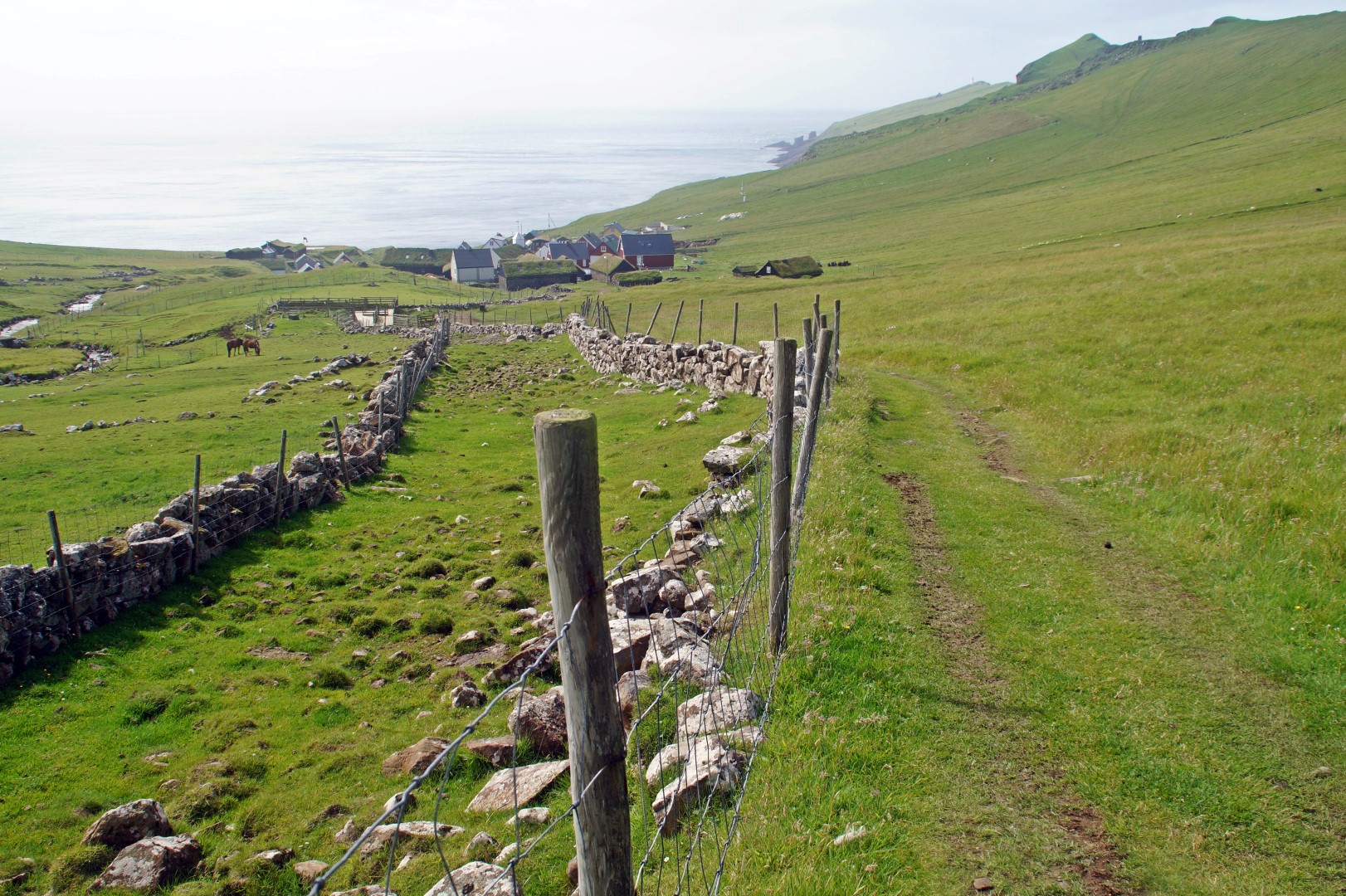
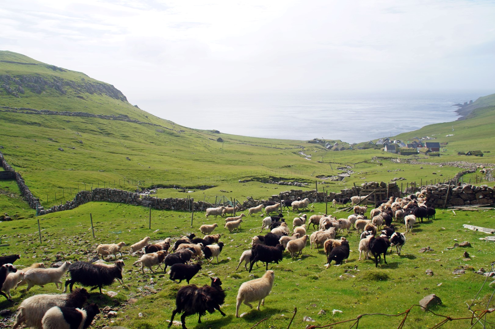
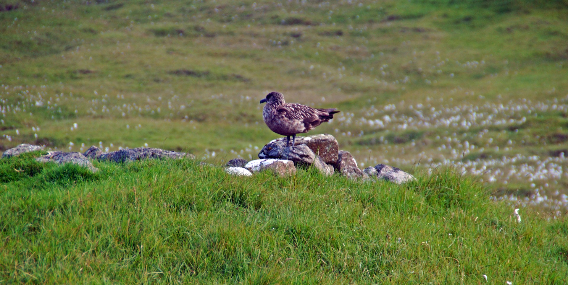
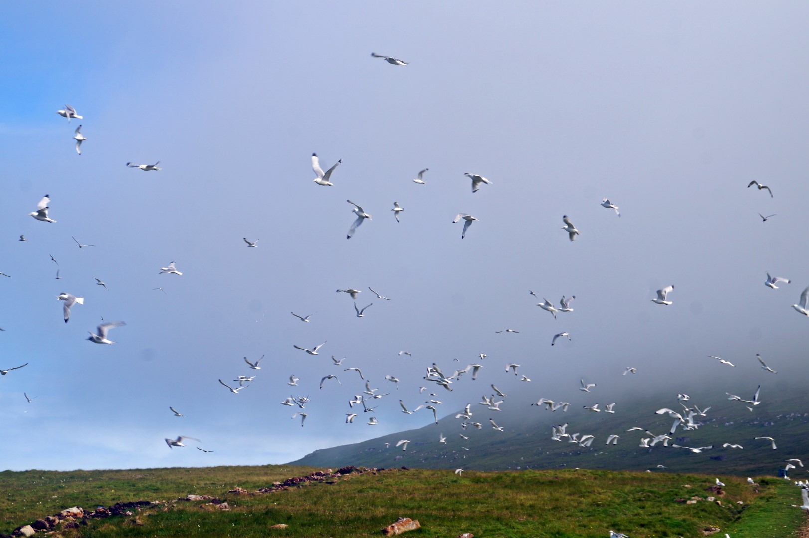
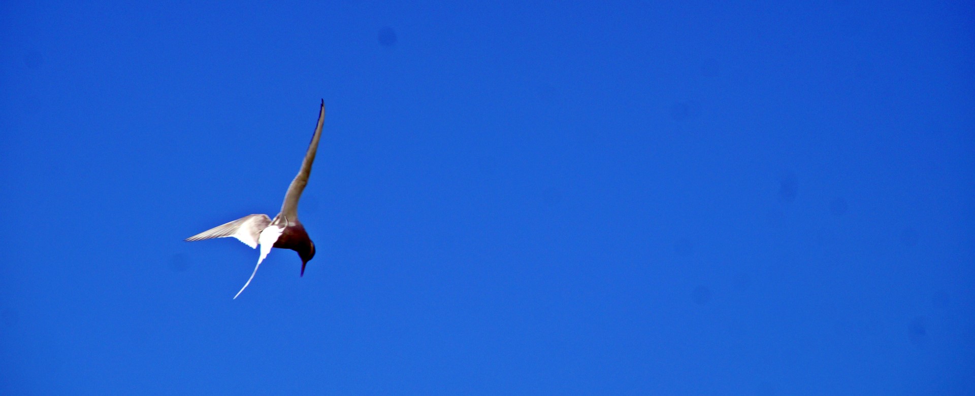
During our hike, we were often attacked by the arctic skua birds, whose nests are in the ground, since there are no trees on the Faroe Islands. We did our best to not step on any, while trying to cover our heads from the aggressive birds who, once in a while, would take a quick dive and come within a meter of our heads, trying to defend their territory. Pretty scary experience that was!
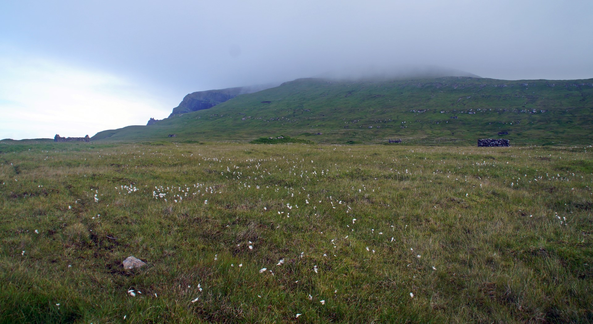
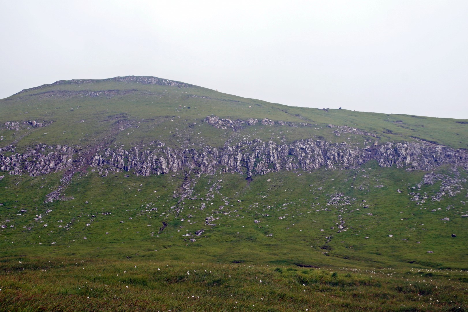
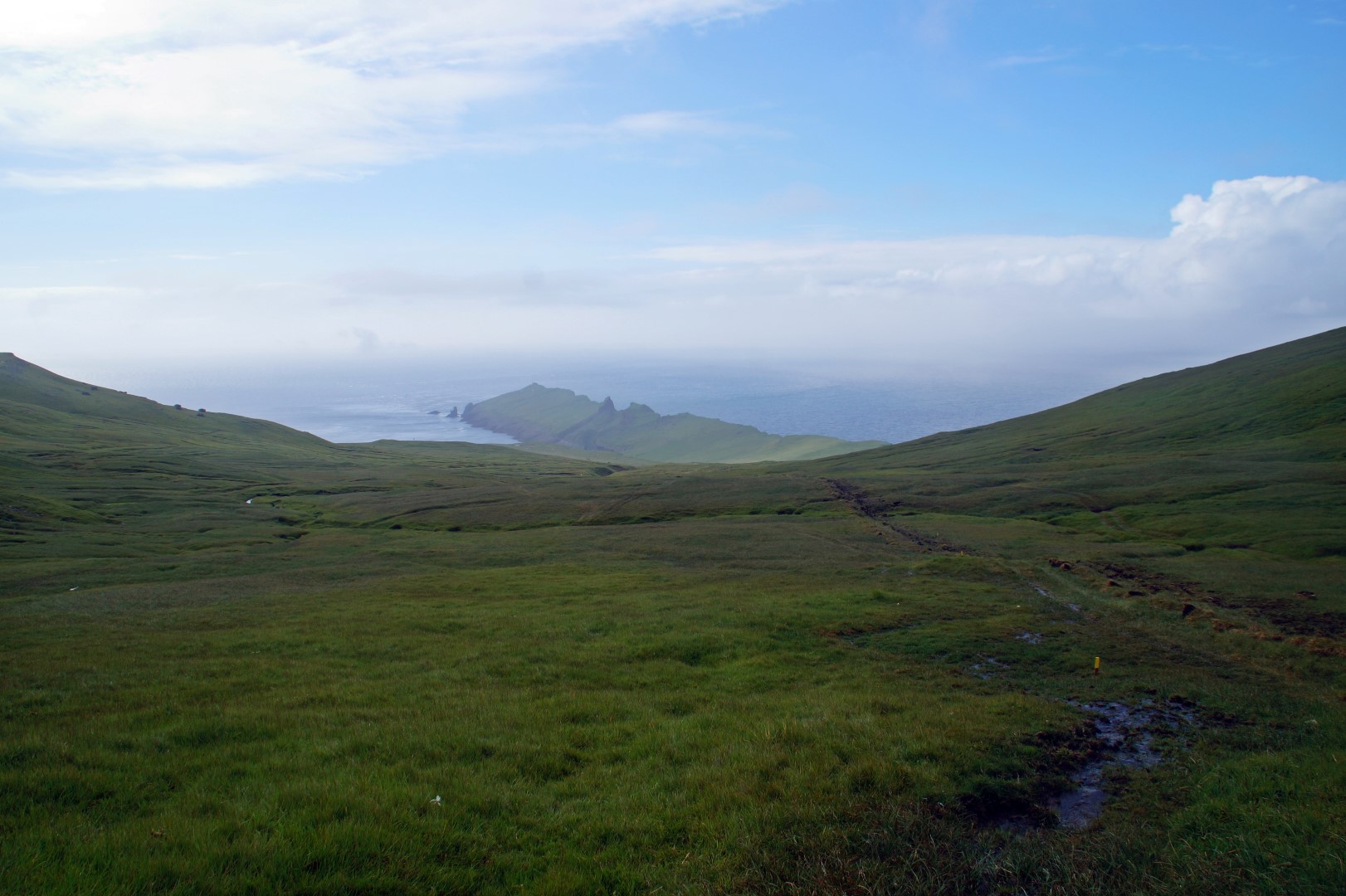
After admiring Tindagjógv for a while, it was time to find the right track, which would take us to the stone forest of Korkadalur and then onwards to Knúkur. We walked back towards the village until we came to a place that we thought looked kind of like a stone forest. We weren’t exactly sure what we were looking for, as neither of us had seen one before, but I’m pretty sure that we found it.
In Korkadalur it’s possible to see 20 to 30 m. high basalt columns, which we tried to search for, although the search was made difficult by the incoming fog.
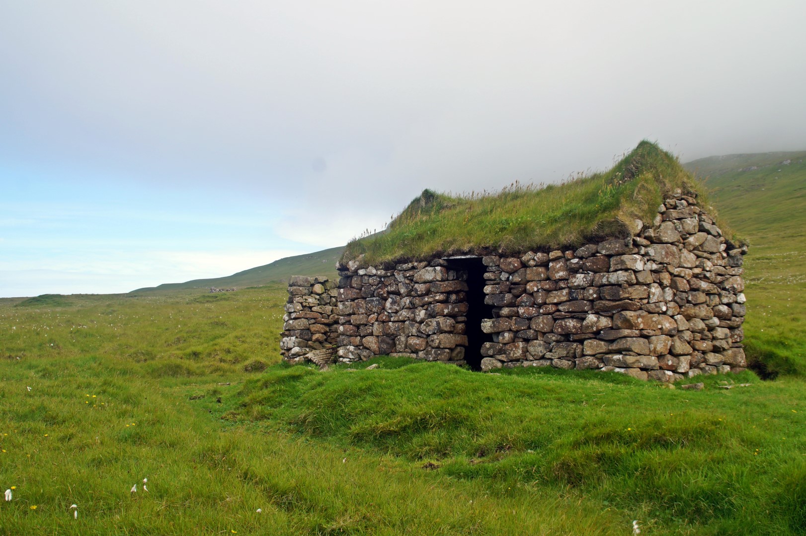
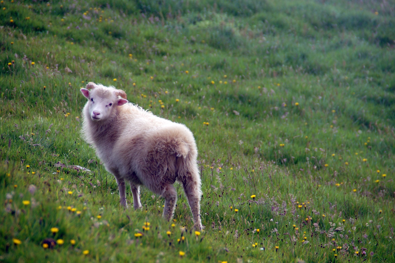
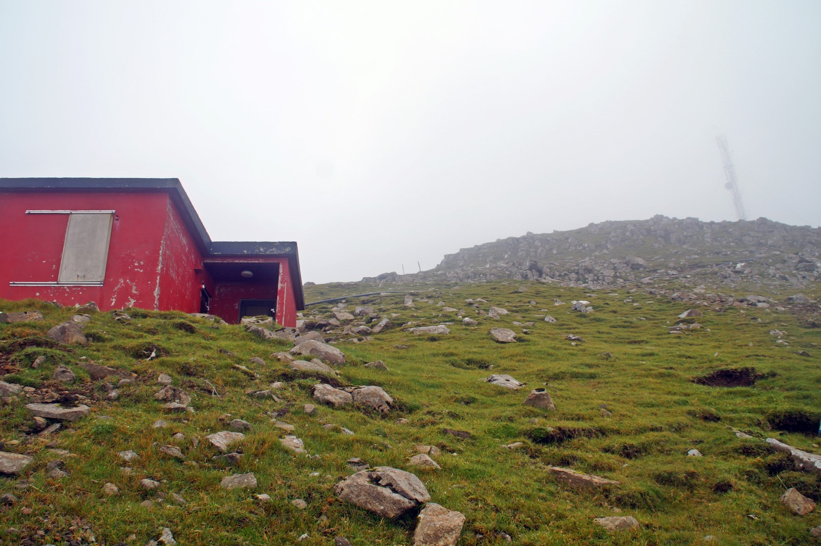
From Korkadalur, we could see the old antenna house from 1979, which is still in use today, on top of Knúkur in the distance. Finally, we knew which way to go, although the fog was making it more and more difficult to see. We had been told by several locals to never hike in fog, so we decided to take a break for half an hour, when we were halfway up the mountain, as the fog was now so thick that we couldn’t even see 20 metres ahead of us. We didn’t want to risk getting up there and falling off the edge.
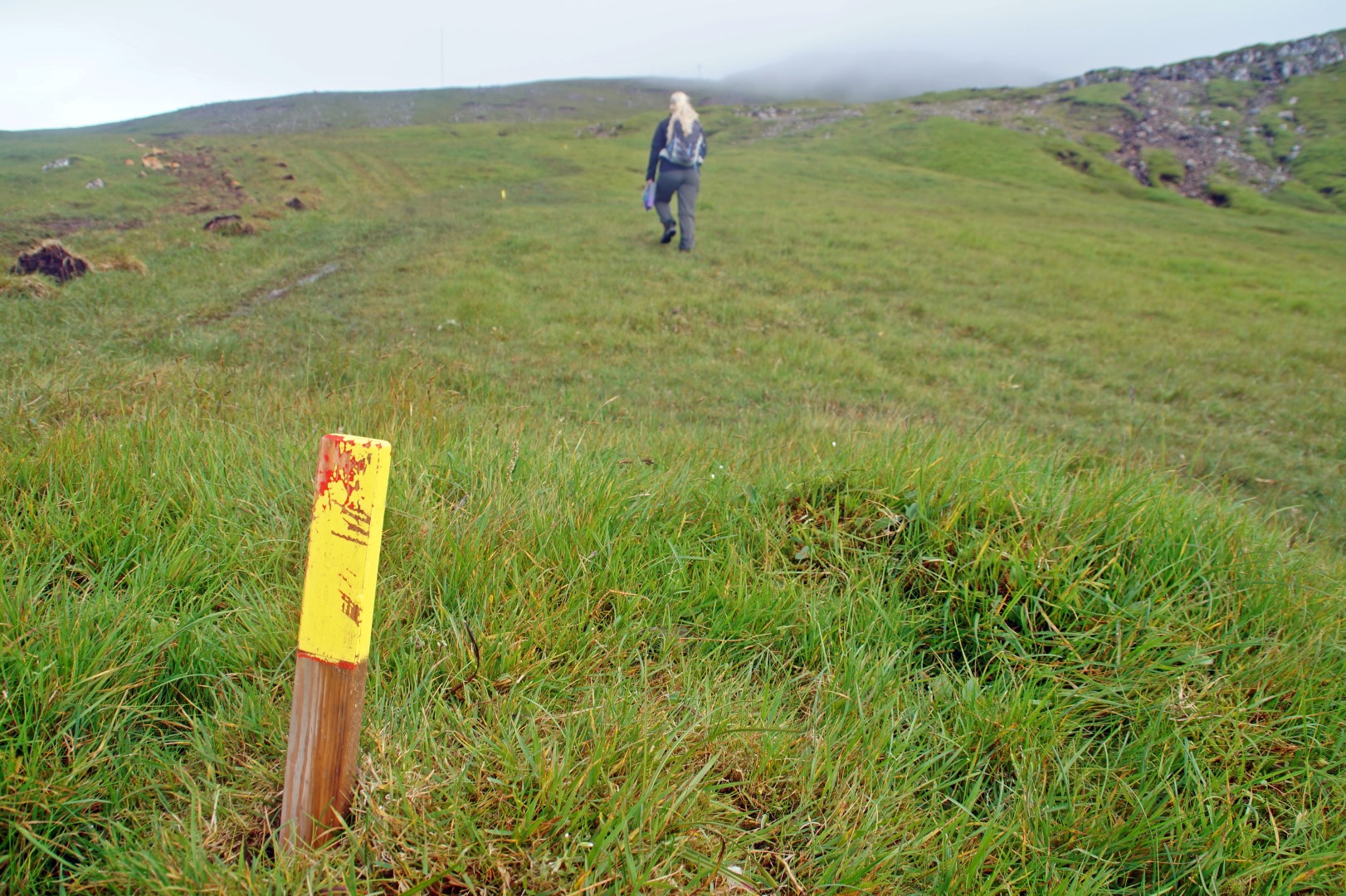
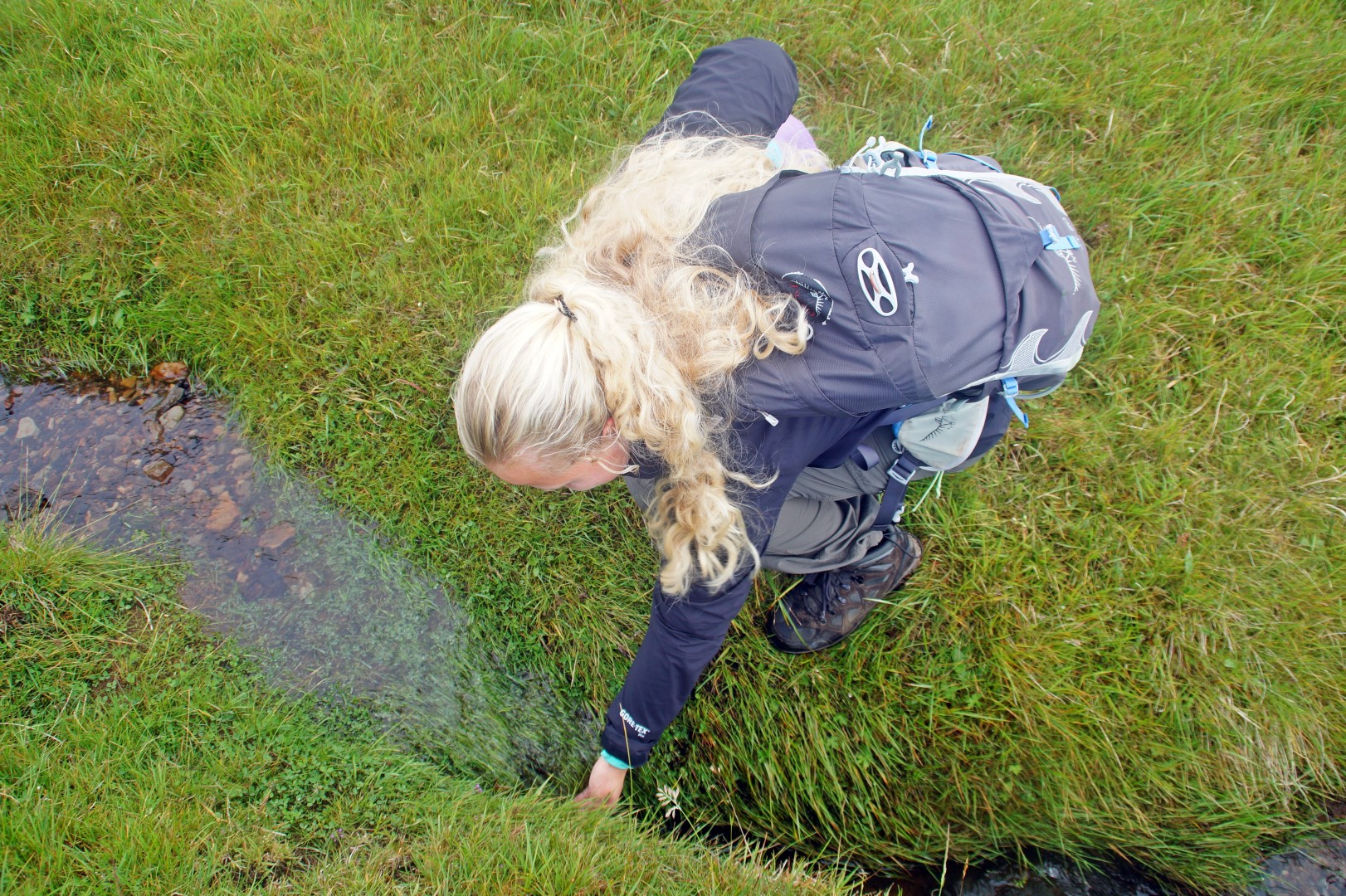
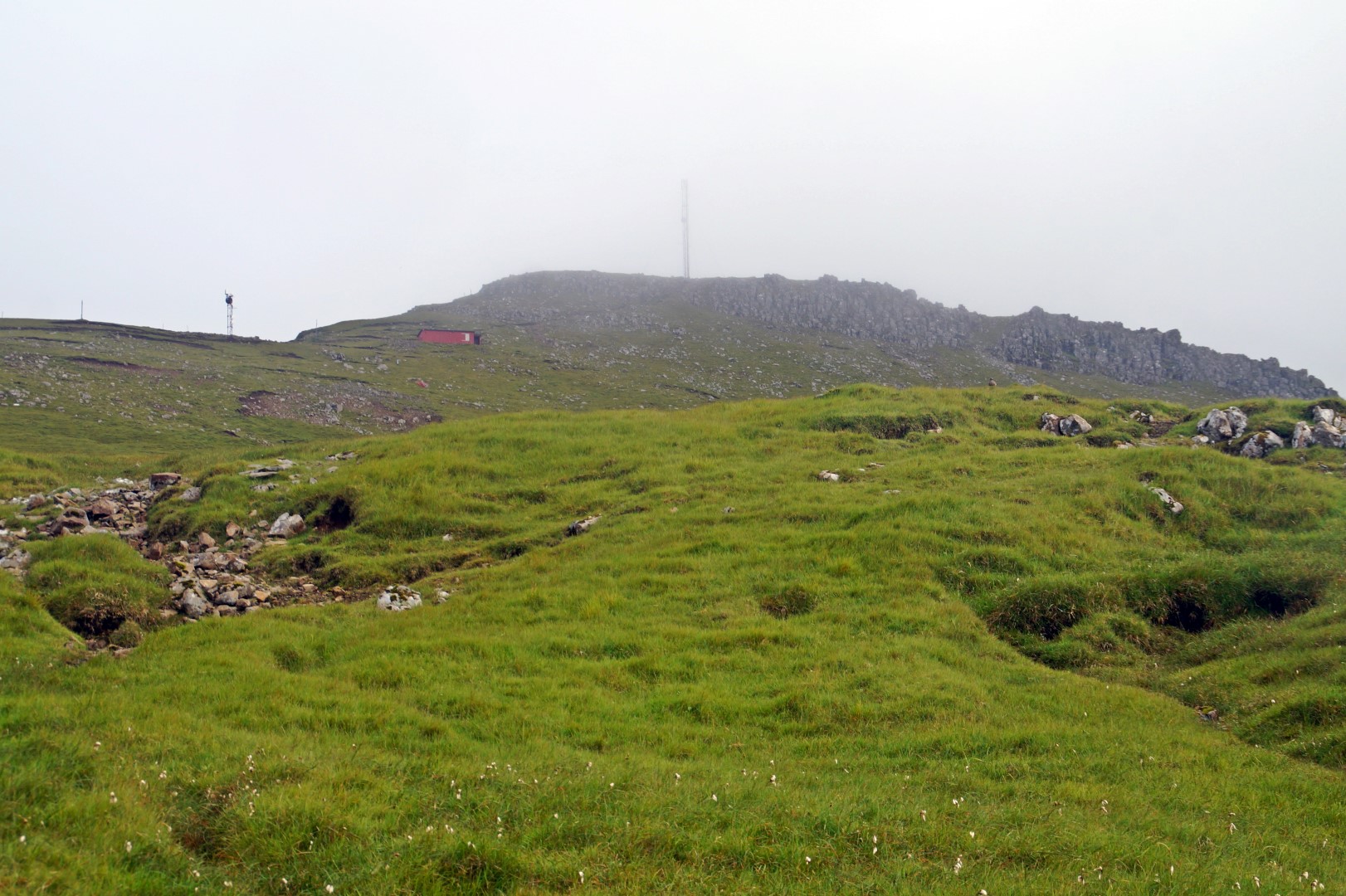
When the fog had lifted a bit, it was time to continue to the top of the mountain to complete our hike. Compared to other tracks on the Faroe Islands, this was an easy one, but because it was our first hike in months, we were both struggling to get up there. Out of breath, and about three hours after we started the hike, we finally got to the antenna house and continued a bit more upwards to the top of Knúkur at 560 m. above sea level.
The view from Knúkur towards the village and the islet of Mykinesholmur on one side and 9 of the Faroese islands on the other side is said to be amazing, but unfortunately, we couldn’t see anything that day. Still, it was a great hike and it felt awesome to finally be at the top.
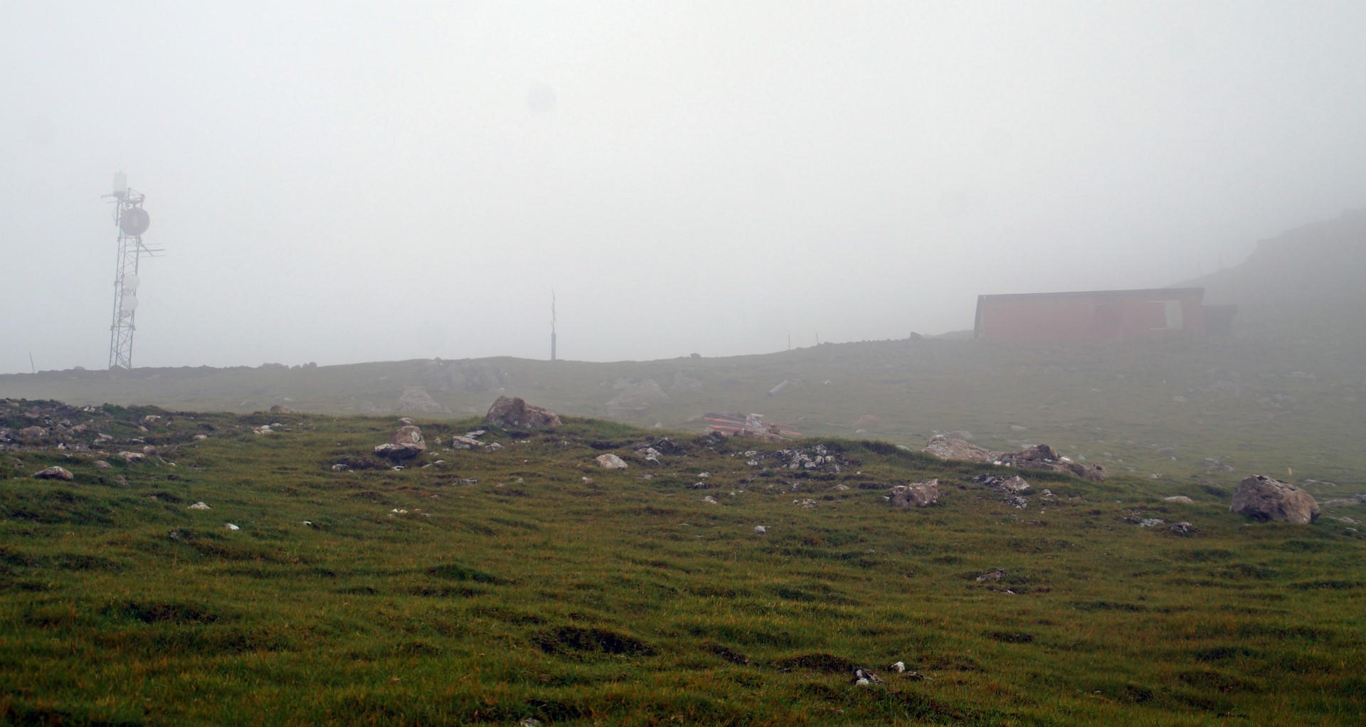
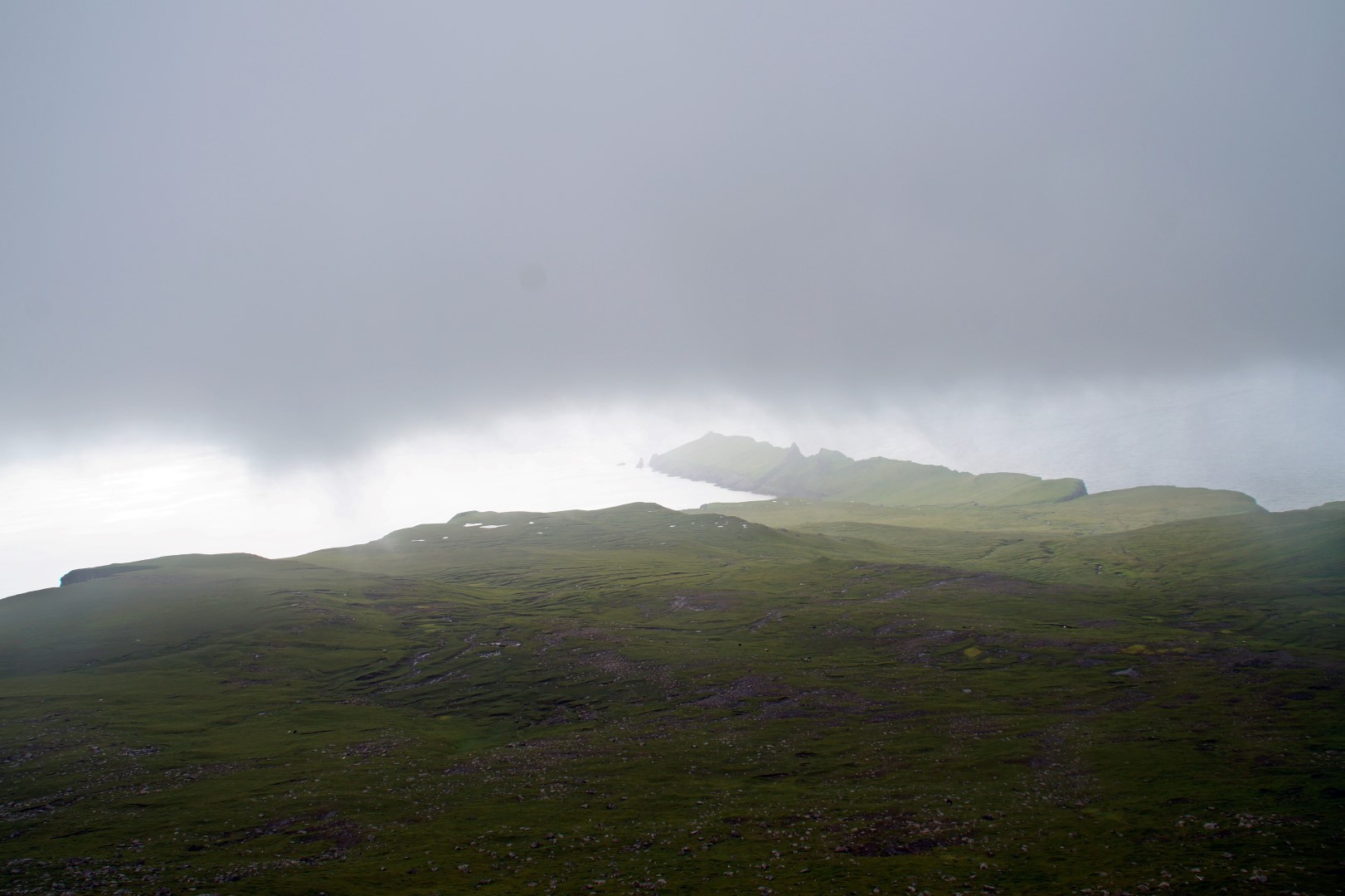
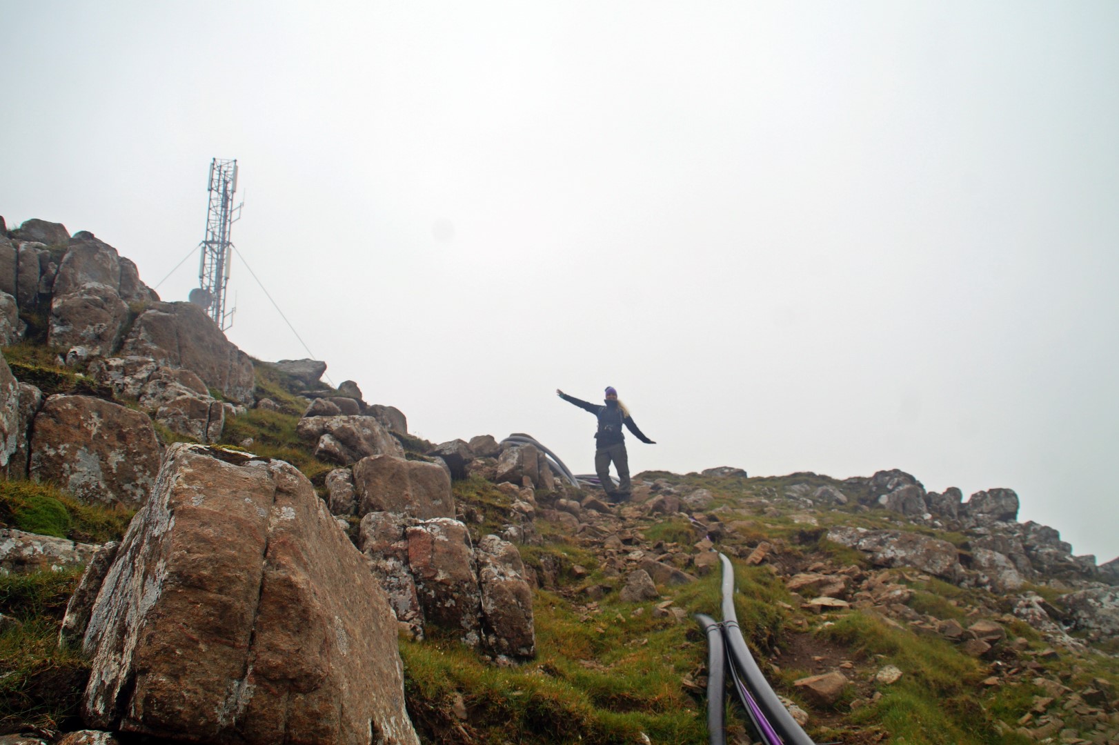
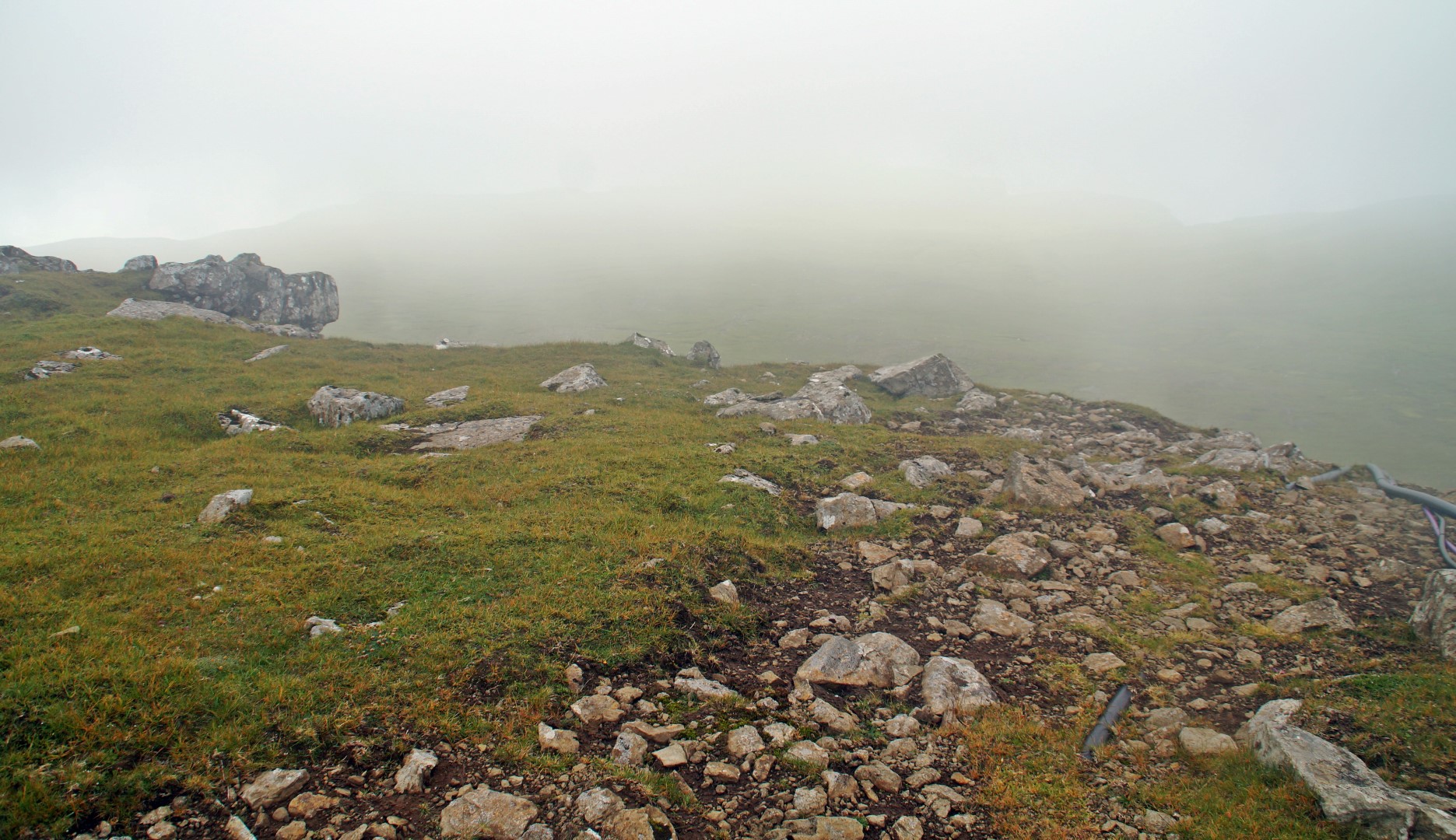
Now it was time to find our way back to the village, still in thick fog. Somehow, and I really don’t know how, we managed to walk the wrong way once again, and ended up on some tall cliffs above the village, where we had to be really careful in order to not fall while climbing down them. But in the end, we made it and arrived safely to our camp spot approximately four hours after we had left for the hike.
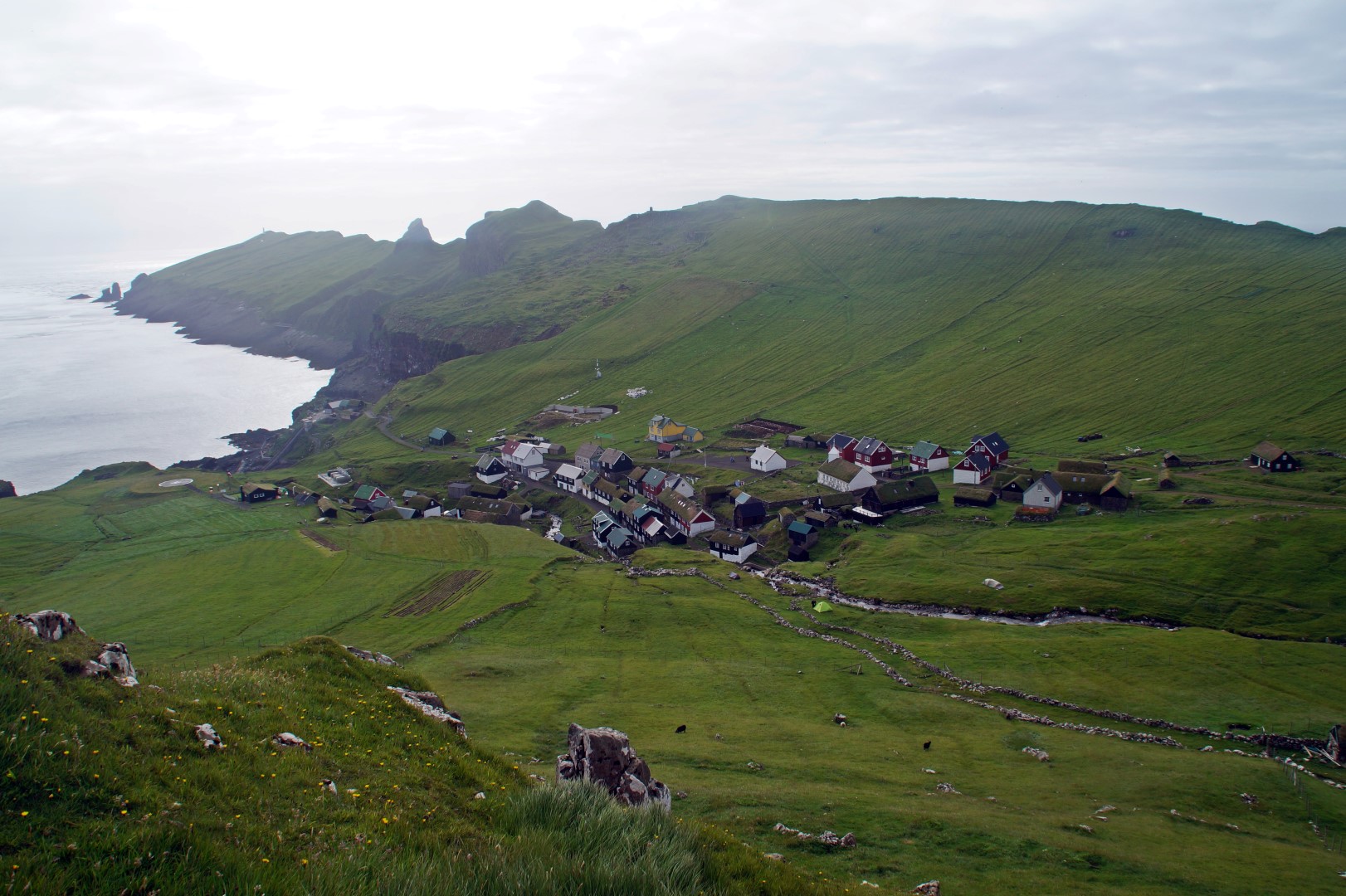
The rest of the evening was spent hiking to Mykinesholmur, playing Uno with some new Swedish friends, and admiring the amazing view of the tiny village from our camp spot. Once again, Mykines delivered and gave us some unique experiences, which made me thirsty for more. I have this idea of hiking to the far east of the island someday, although I’ve never heard of anyone doing that before – I’m just sure that there’s more to see and more adventures to be had on beautiful Mykines.
Interested in experiencing Mykines on a guided tour?
Mykines is notorious for ferry delays and sudden hiking restrictions, so visiting the island on a guided tour will ease your mind. It’s also a great way to learn more about the island and meet likeminded travellers! Read more here!
Leave a Comment
Pingback: The legend of Trøllkonufingur – Northtrotter on 06/09/2016
7 COMMENTS
QuentinSymbolful
5 years agoI’ve made a plan for my next visit to Mykines, and I plan to hike to the east and northeast parts of Mykines. Seems like there’re some old, now abandoned settlements down there, and there’s also a plane crash scene that the incident happended in 1970. But since I can’t get further informations on theses, I gotta seek by myself, so it will be a expedition-theme of my trip.
Melissa Cherry Villumsen
5 years agoThat sounds like an incredible trip! Do let me know what you find! 😀
afootdk
8 years agoHi Melissa. Great post and great pictures 🙂 We are going to Mykines this summer (if the weather allows it). Knukur must now be on our to-do list as well. Thanks for the inspiration 🙂
🙂 Toni & Helle / afoot
Melissa Cherry
8 years agoHi Toni and Helle! Thank you for your lovely comment! 😀 I’m glad you found inspiration from my post, I hope you’ll have an amazing time on beautiful Mykines and will enjoy the hike to Knúkur! 🙂
Ann
9 years agoI admire this place so much. There are no enough adjectives to describe.
Breathtaking, Mel! Especially I like your elegant style of writing as if you talk to me face-to-face!?
Melissa Cherry
9 years agoI’m sure you would like it even more in real life – someday, dear Ann! 😀
Thank you for your kind words once again :-*